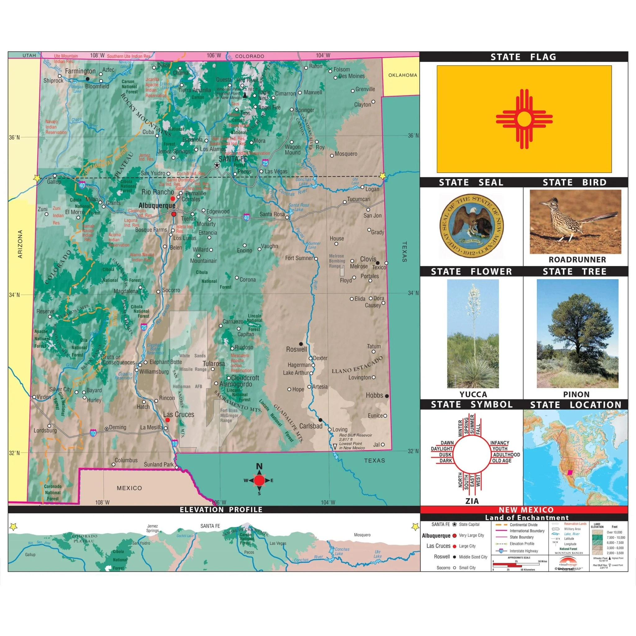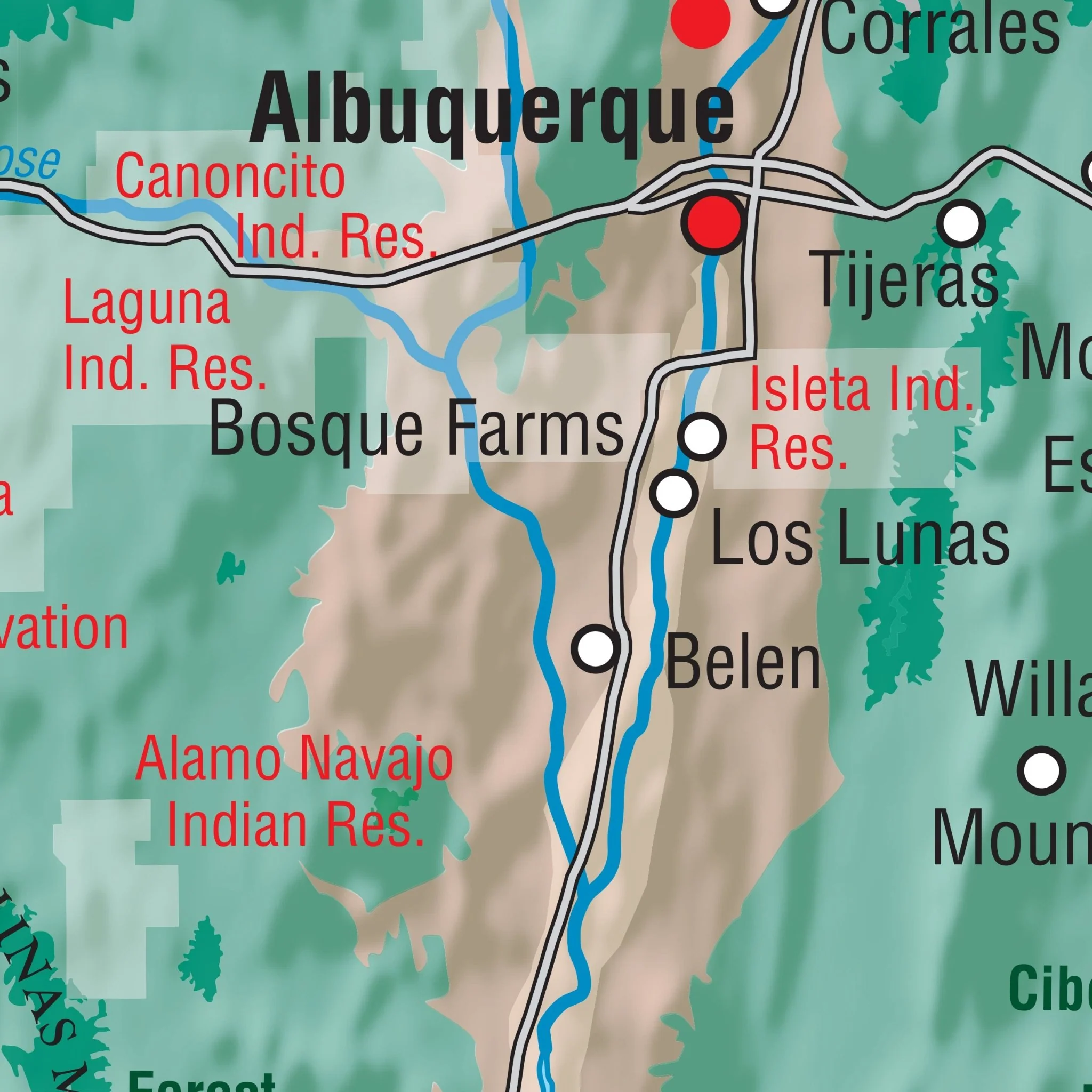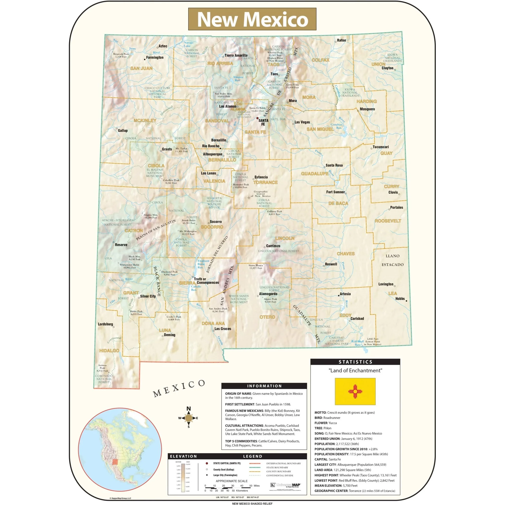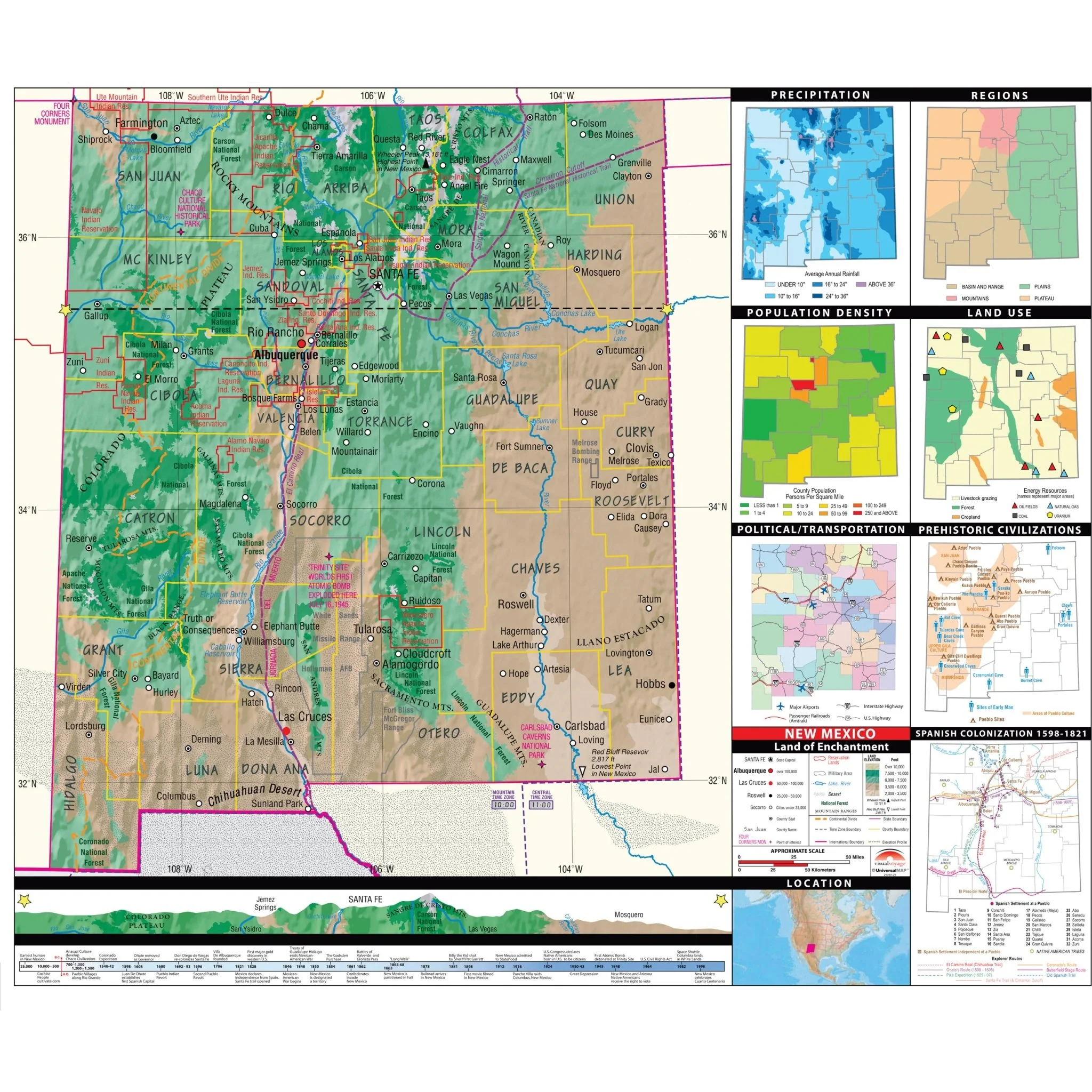


Albuquerque, NM Wall Map
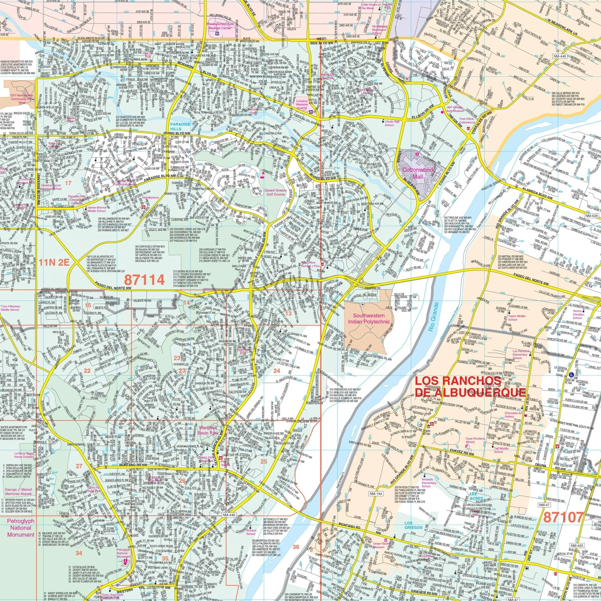
The Albuquerque, New Mexico Wall Map by Kappa Map Group offers up-to-date cartography plotted in complete street detail and covers the following area:
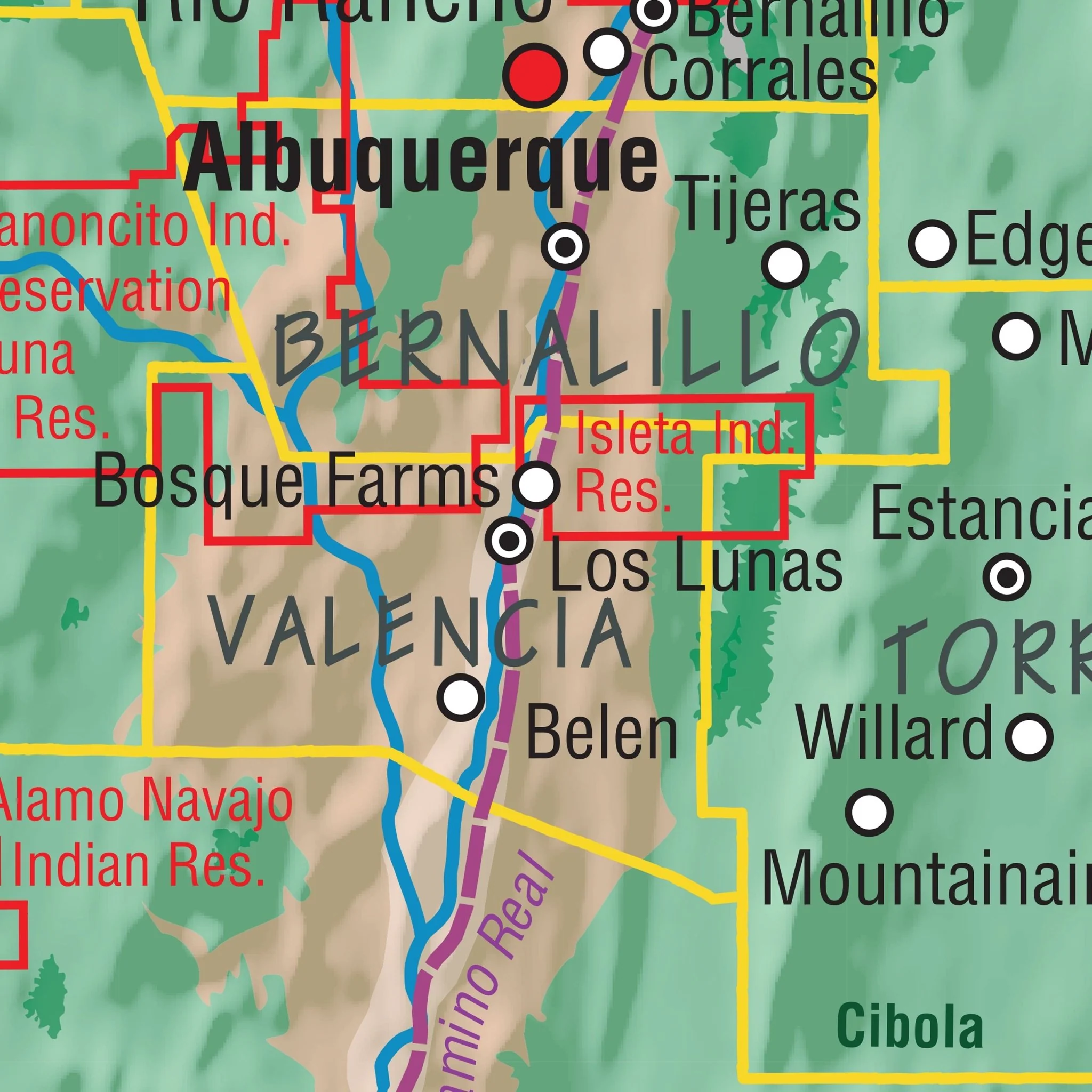
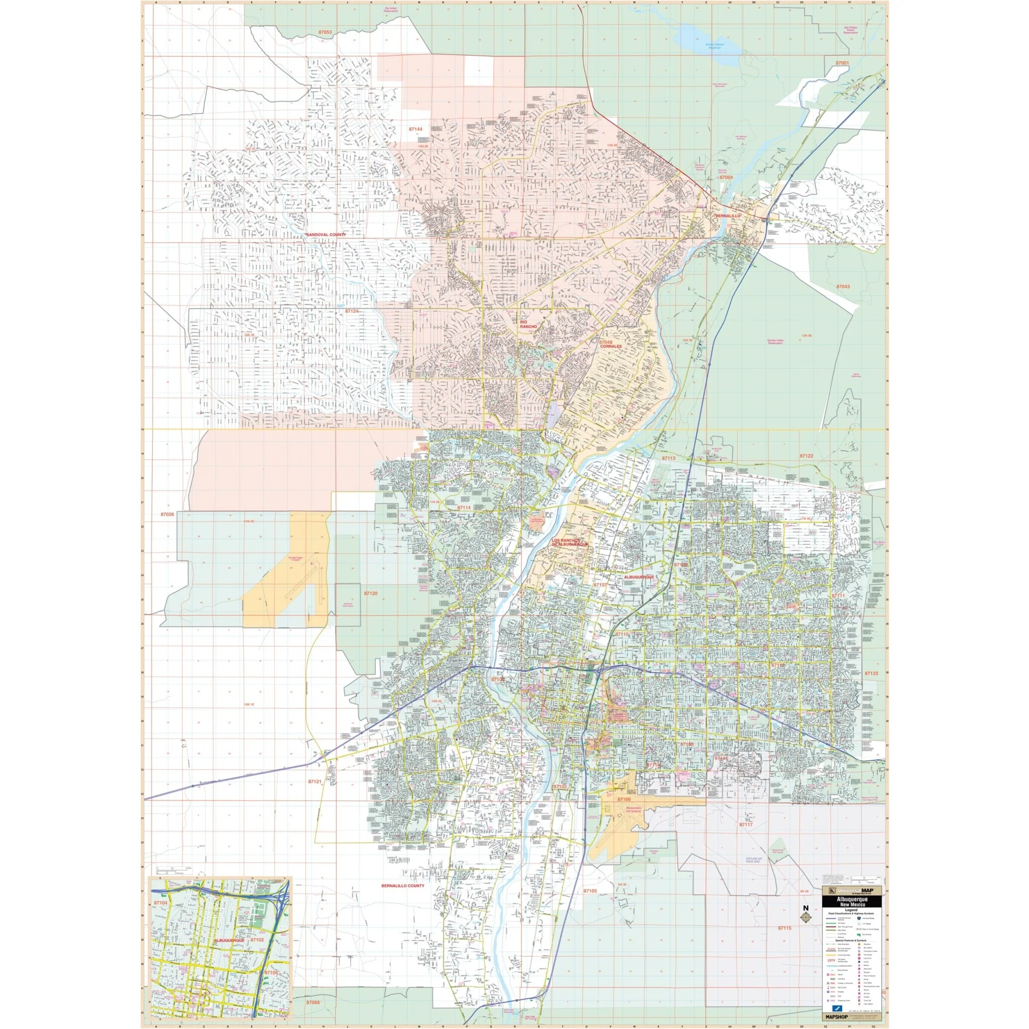
- North: to the Zia Indian Reservation to include the City of Rio Rancho and the Town of Bernalillo
- South: to the Isleta Indian Reservation and the southern city limits of Albuquerque
- East: to Cibola National Forest and the eastern city limits of Albuquerque
- West: To include the entire Rio Rancho platted area and the Double Eagle II Airport just past the western city limits of Albuquerque
Details featured on the map encompass all streets, airports, government buildings, post offices, cemeteries, fire & police stations, hospitals, shopping centers, educational institutions, railroads, water features, golf & country clubs, mileage circles, recreational parks, ZIP codes/boundaries, and block numbers.
Size: 54" x 74"
Published: 2009
Original: $149.99
-70%$149.99
$45.00Product Information
Product Information
Shipping & Returns
Shipping & Returns
Description
The Albuquerque, New Mexico Wall Map by Kappa Map Group offers up-to-date cartography plotted in complete street detail and covers the following area:
- North: to the Zia Indian Reservation to include the City of Rio Rancho and the Town of Bernalillo
- South: to the Isleta Indian Reservation and the southern city limits of Albuquerque
- East: to Cibola National Forest and the eastern city limits of Albuquerque
- West: To include the entire Rio Rancho platted area and the Double Eagle II Airport just past the western city limits of Albuquerque
Details featured on the map encompass all streets, airports, government buildings, post offices, cemeteries, fire & police stations, hospitals, shopping centers, educational institutions, railroads, water features, golf & country clubs, mileage circles, recreational parks, ZIP codes/boundaries, and block numbers.
Size: 54" x 74"
Published: 2009