


Bismarck & Mandan, ND Wall Map
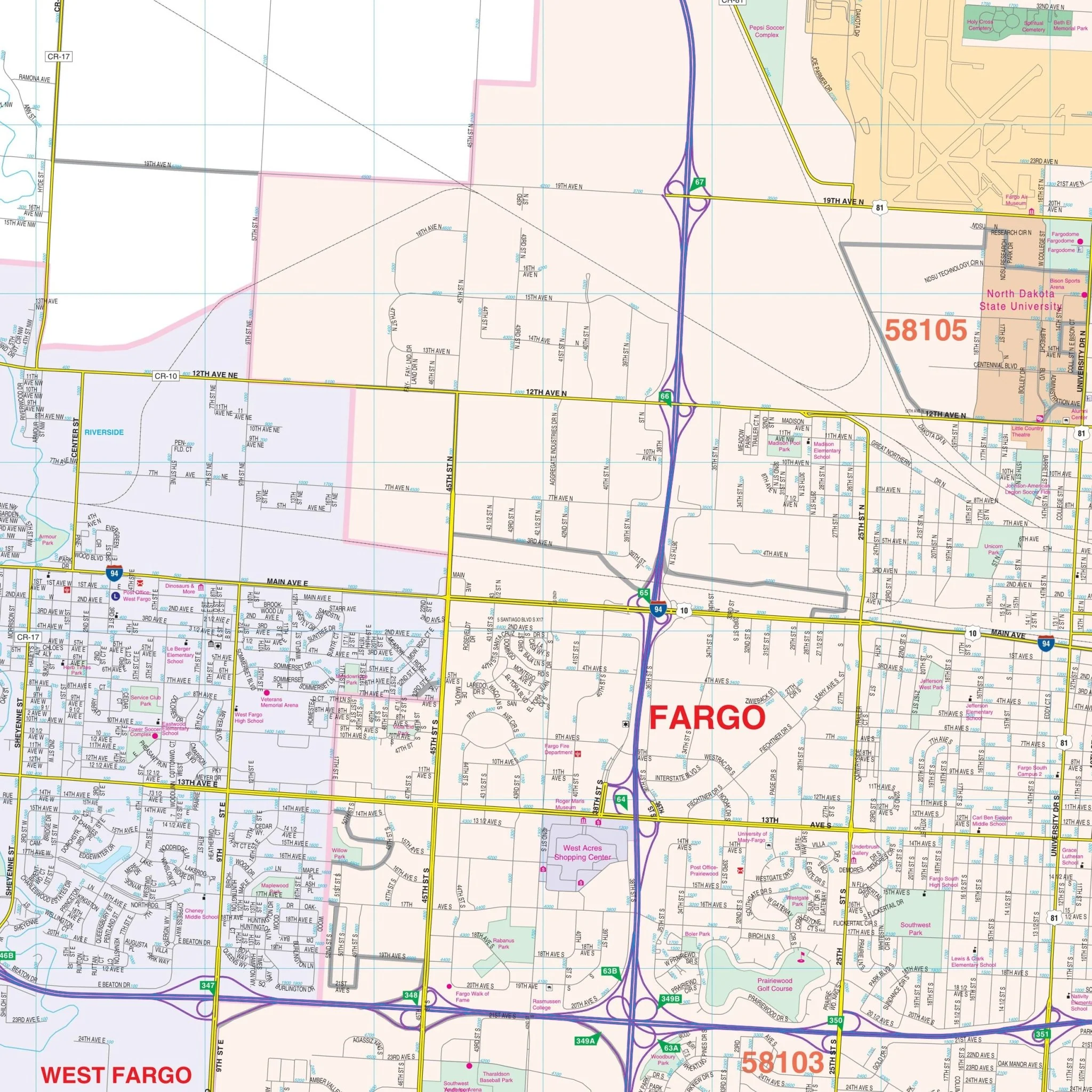
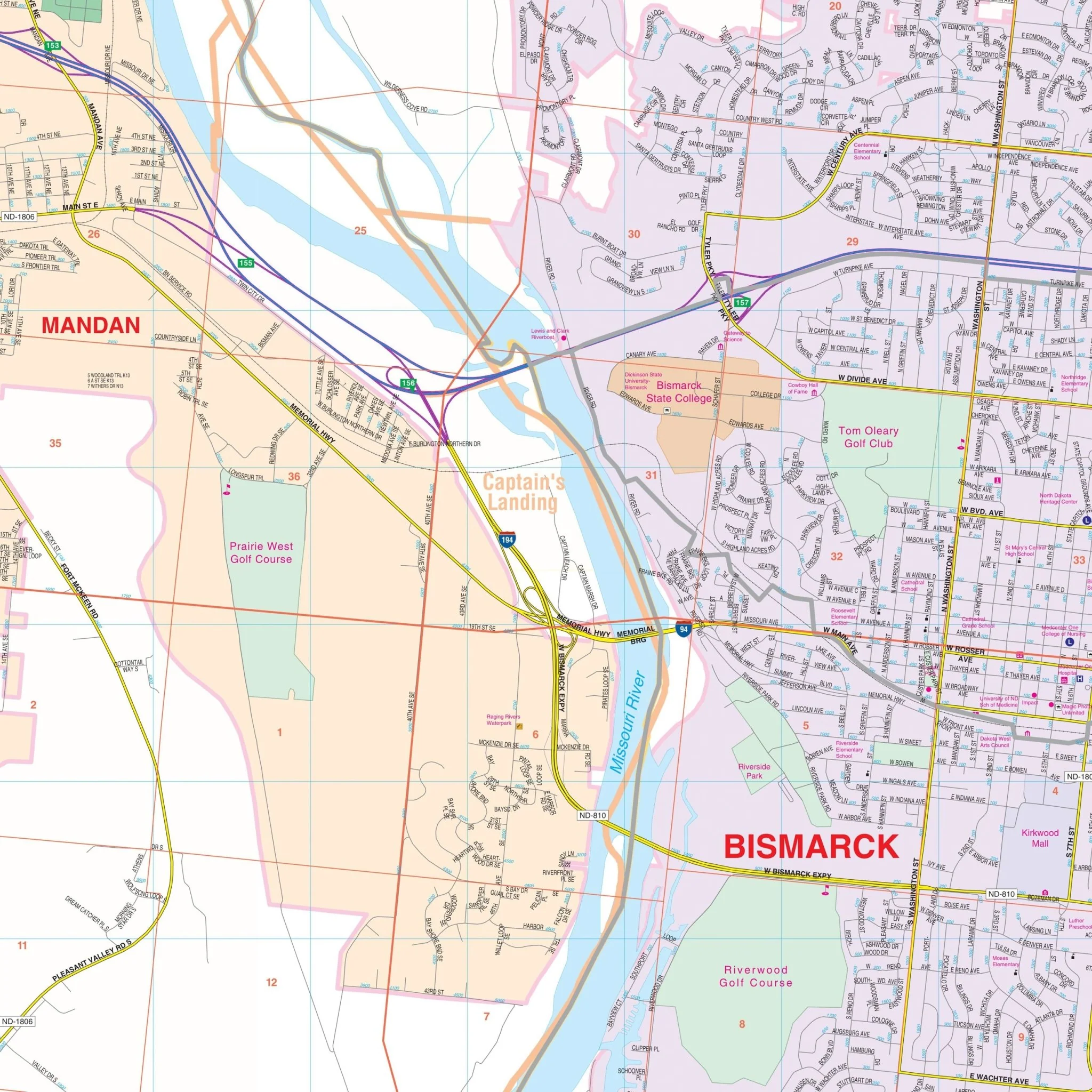
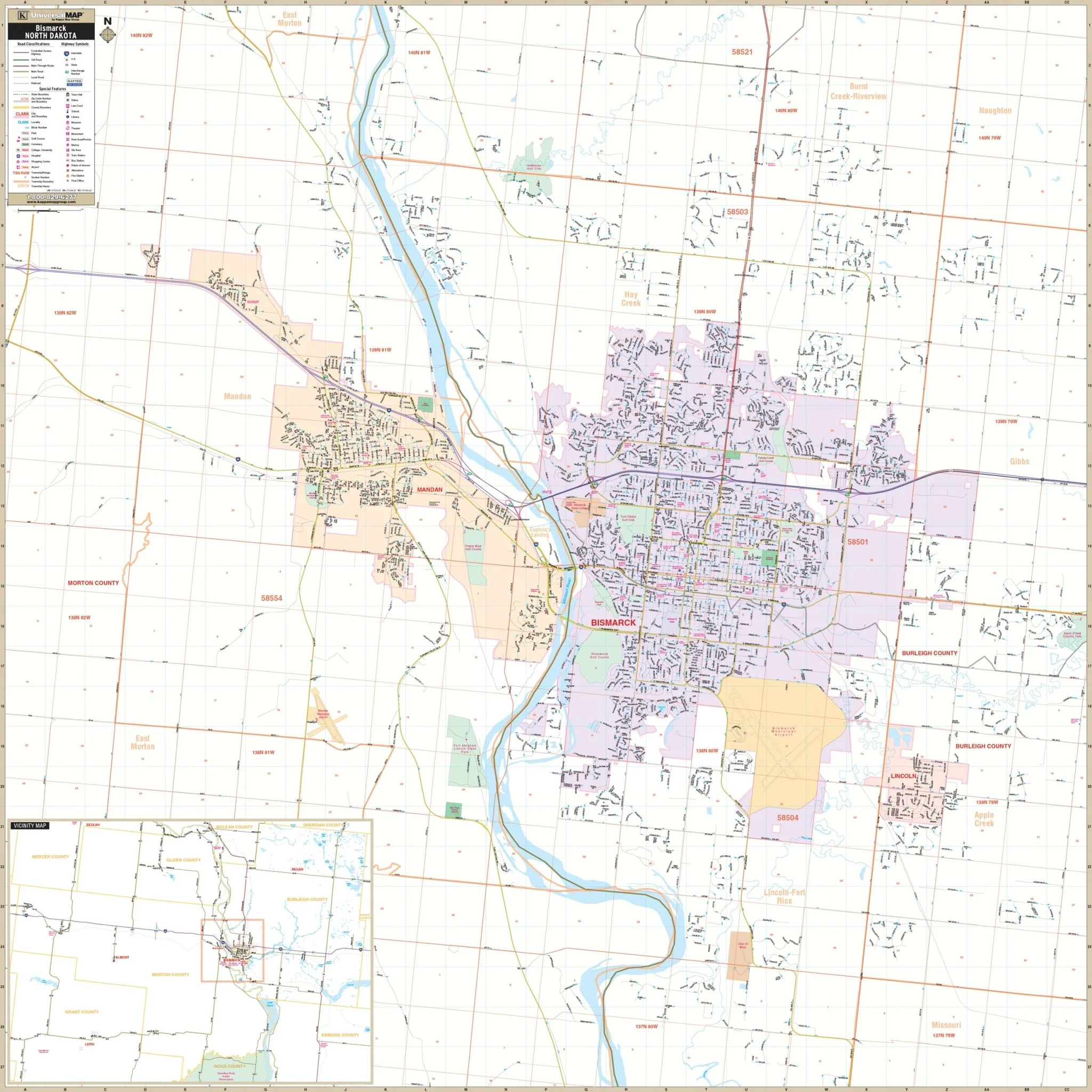
The Bismarck-Mandan, North Dakota Wall Map provides complete street detail and covers all of the City of Bismarck, Mandan, and surrounding areas. The coverage area includes the following boundaries:
- North: to cover most of Burnt Creek-Riverview Township in Burleigh County and part of East Morton Township in Morton County
- South: Past the University of Mary to include the Intersection of University Drive and 52nd Street SE
- East: to Apple Creek Country Club
- West: to the intersection of CR 139 and 26th Avenue
The map also includes insets covering Burleigh, Morton, Oliver, and portions of McLean, Mercer, Grant, Sioux, and Emmons Counties.
Details featured on the map encompass all streets, airports, government buildings, post offices, cemeteries, fire & police stations, hospitals, shopping centers, educational institutions, railroads, water features, golf & country clubs, mileage circles, recreational parks, ZIP codes/boundaries, and block numbers.
Size: 54" x 54"
Published: 2015
Original: $139.99
-70%$139.99
$42.00Product Information
Product Information
Shipping & Returns
Shipping & Returns
Description
The Bismarck-Mandan, North Dakota Wall Map provides complete street detail and covers all of the City of Bismarck, Mandan, and surrounding areas. The coverage area includes the following boundaries:
- North: to cover most of Burnt Creek-Riverview Township in Burleigh County and part of East Morton Township in Morton County
- South: Past the University of Mary to include the Intersection of University Drive and 52nd Street SE
- East: to Apple Creek Country Club
- West: to the intersection of CR 139 and 26th Avenue
The map also includes insets covering Burleigh, Morton, Oliver, and portions of McLean, Mercer, Grant, Sioux, and Emmons Counties.
Details featured on the map encompass all streets, airports, government buildings, post offices, cemeteries, fire & police stations, hospitals, shopping centers, educational institutions, railroads, water features, golf & country clubs, mileage circles, recreational parks, ZIP codes/boundaries, and block numbers.
Size: 54" x 54"
Published: 2015