


Central America Essential Wall Map
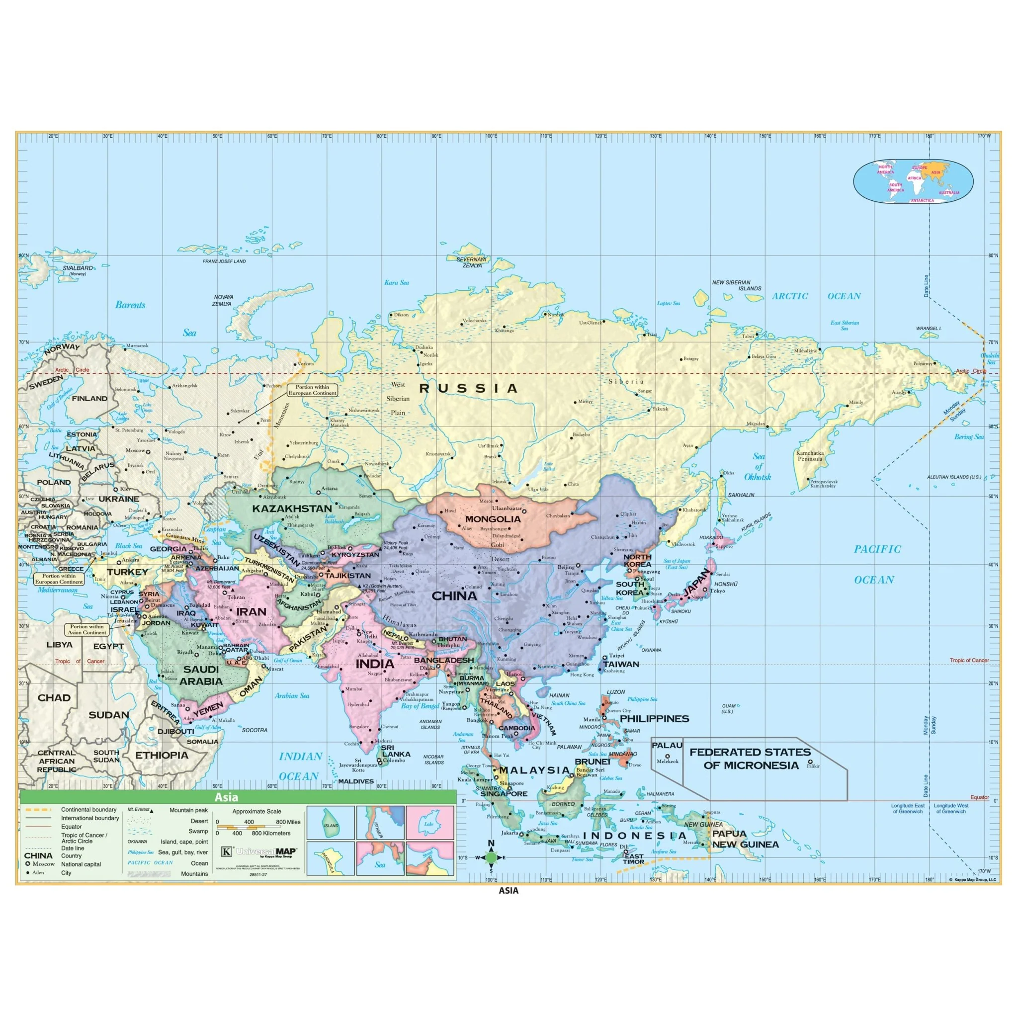
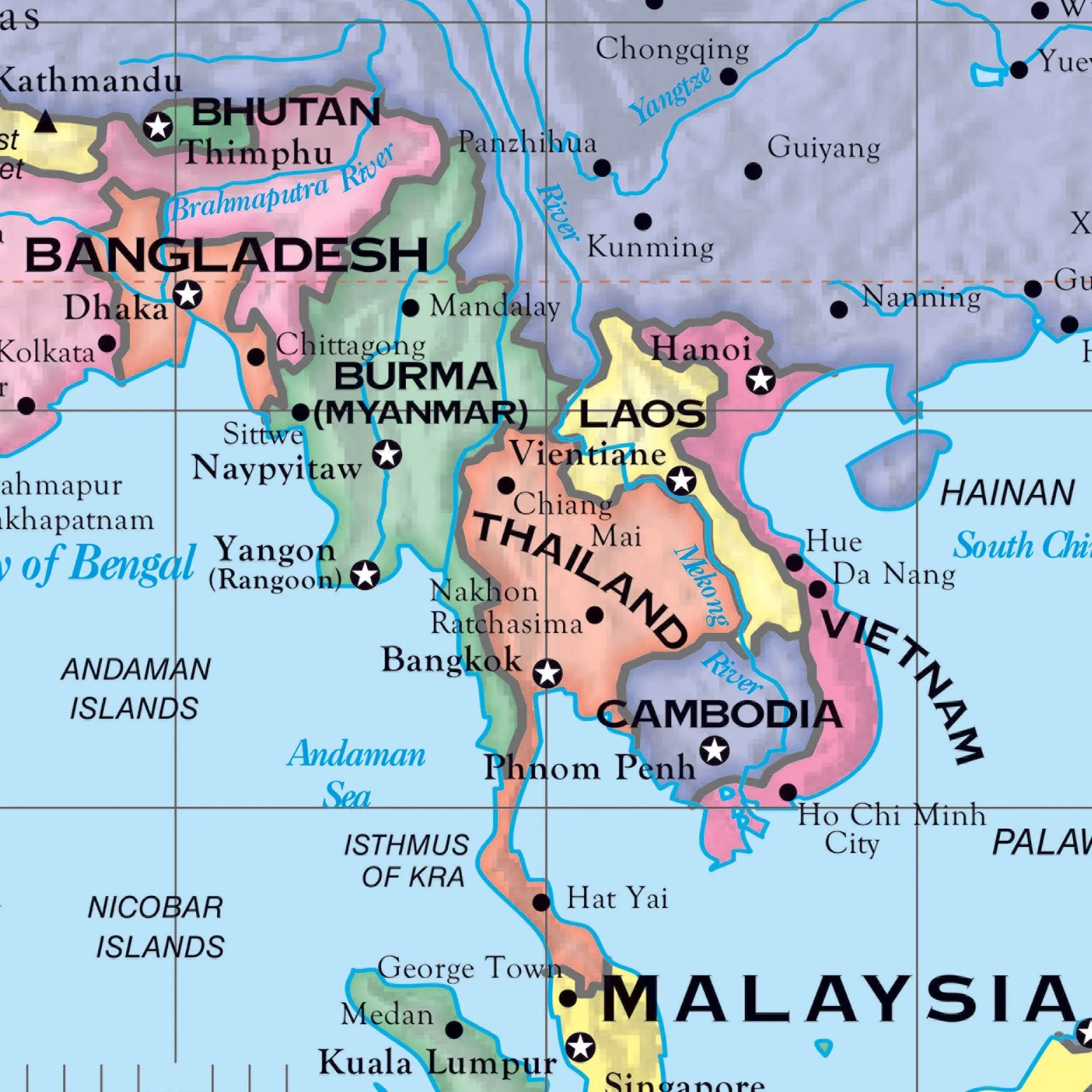
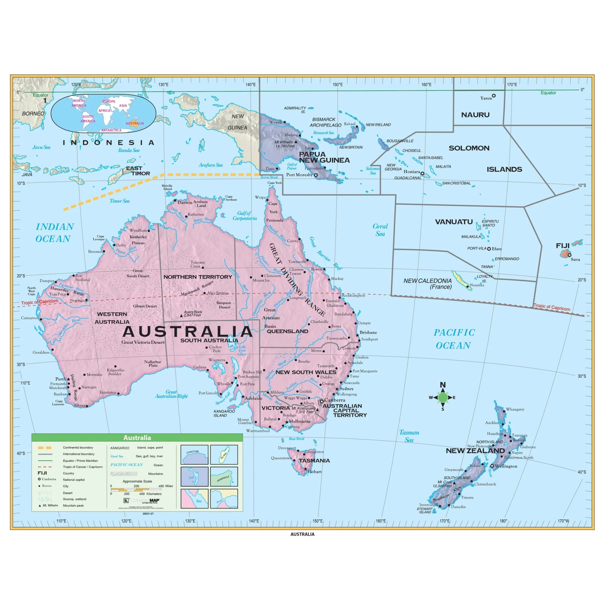
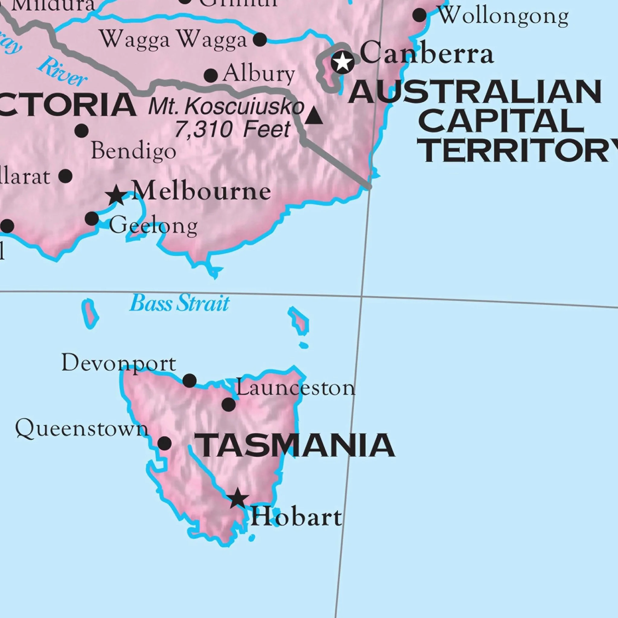
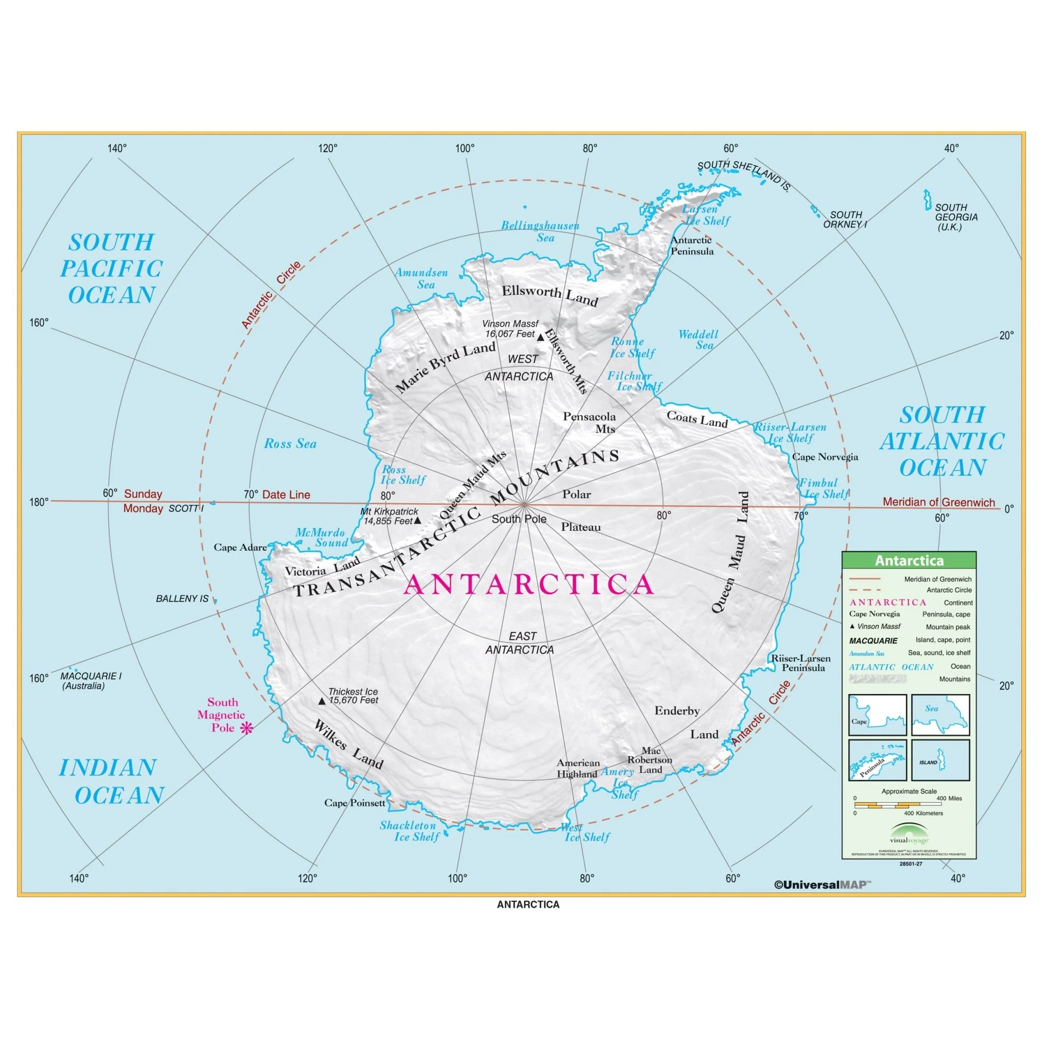
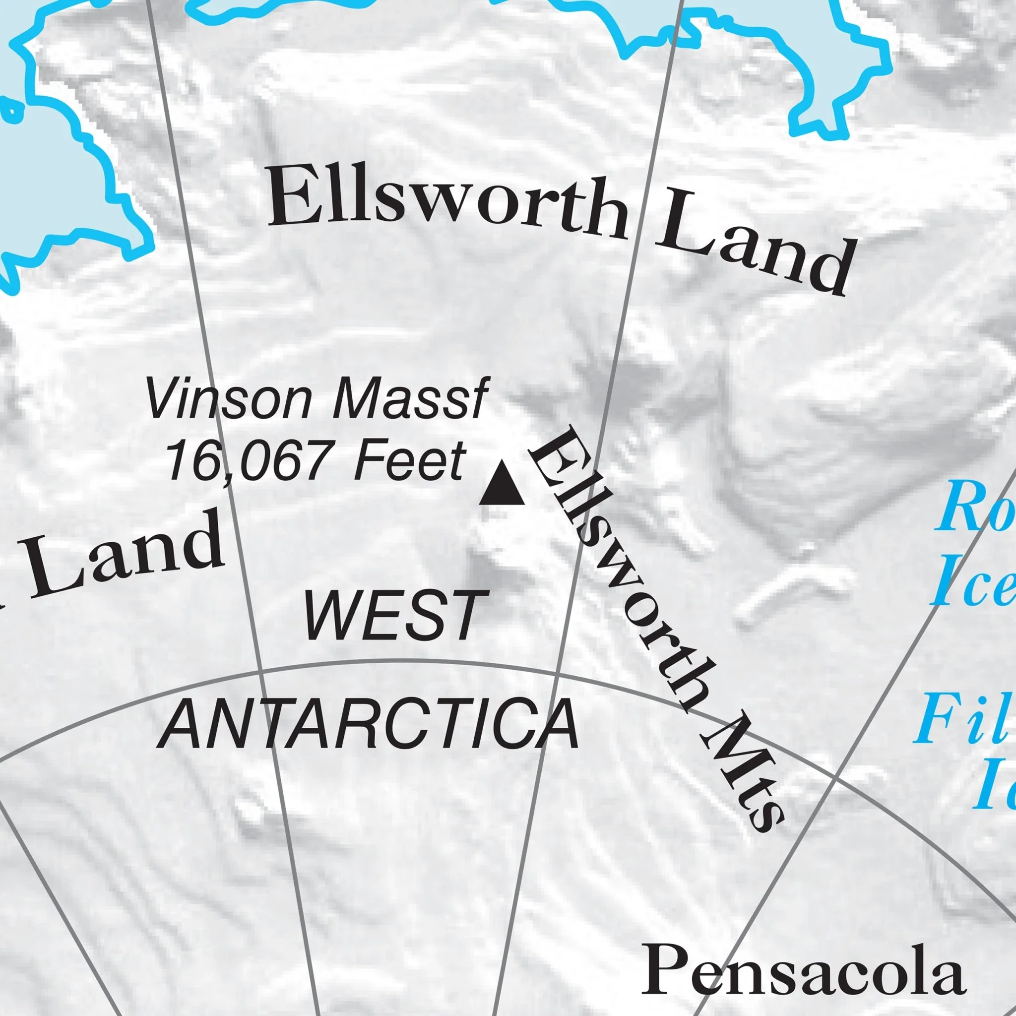
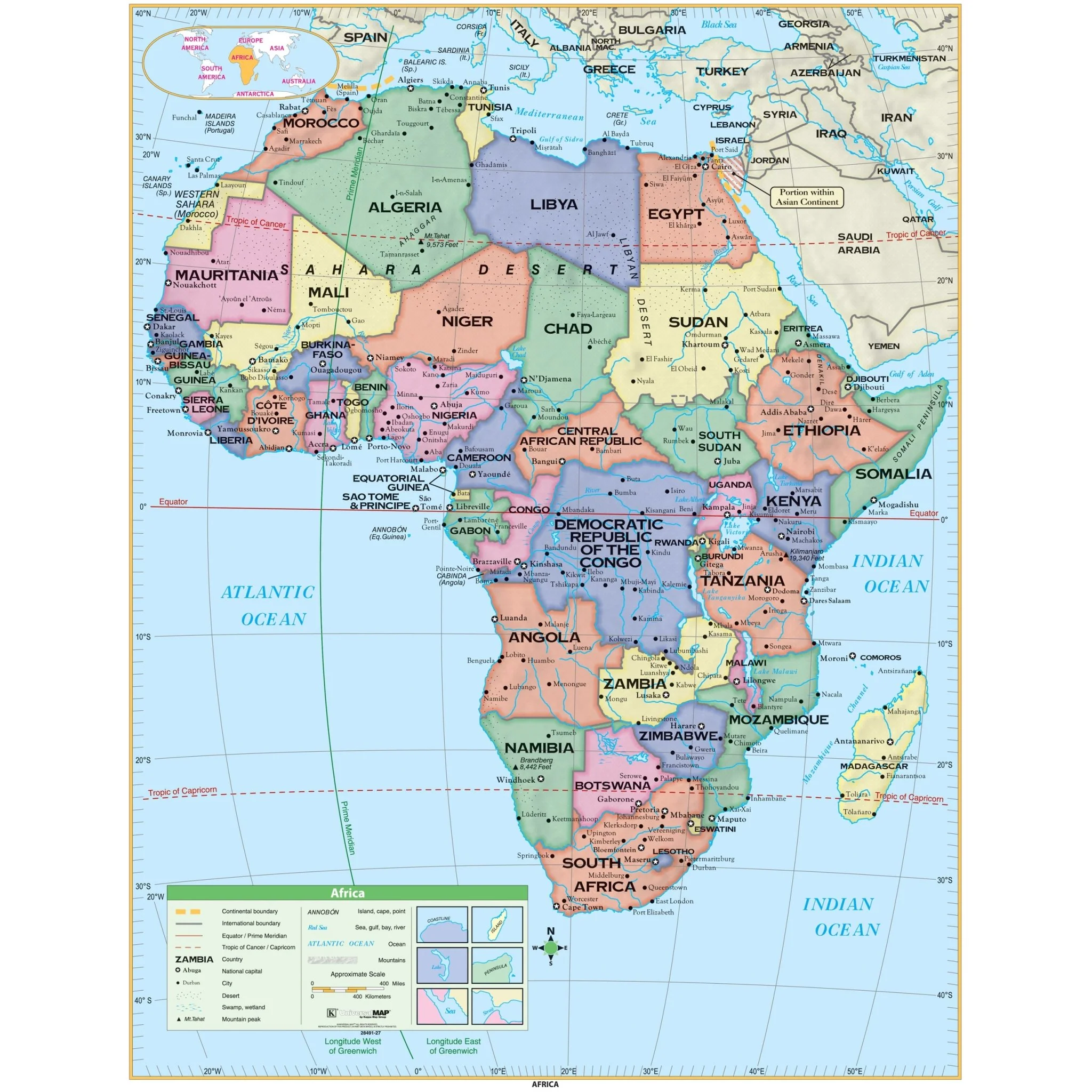
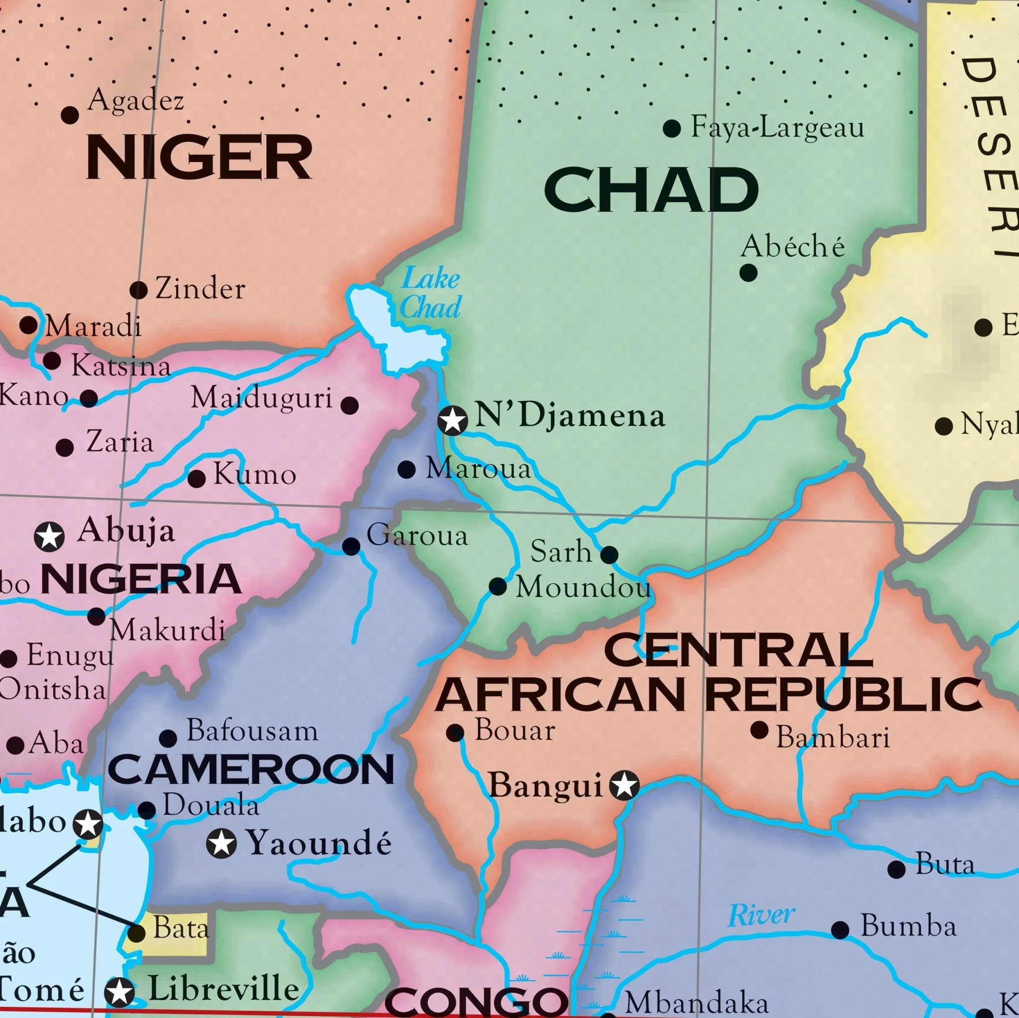
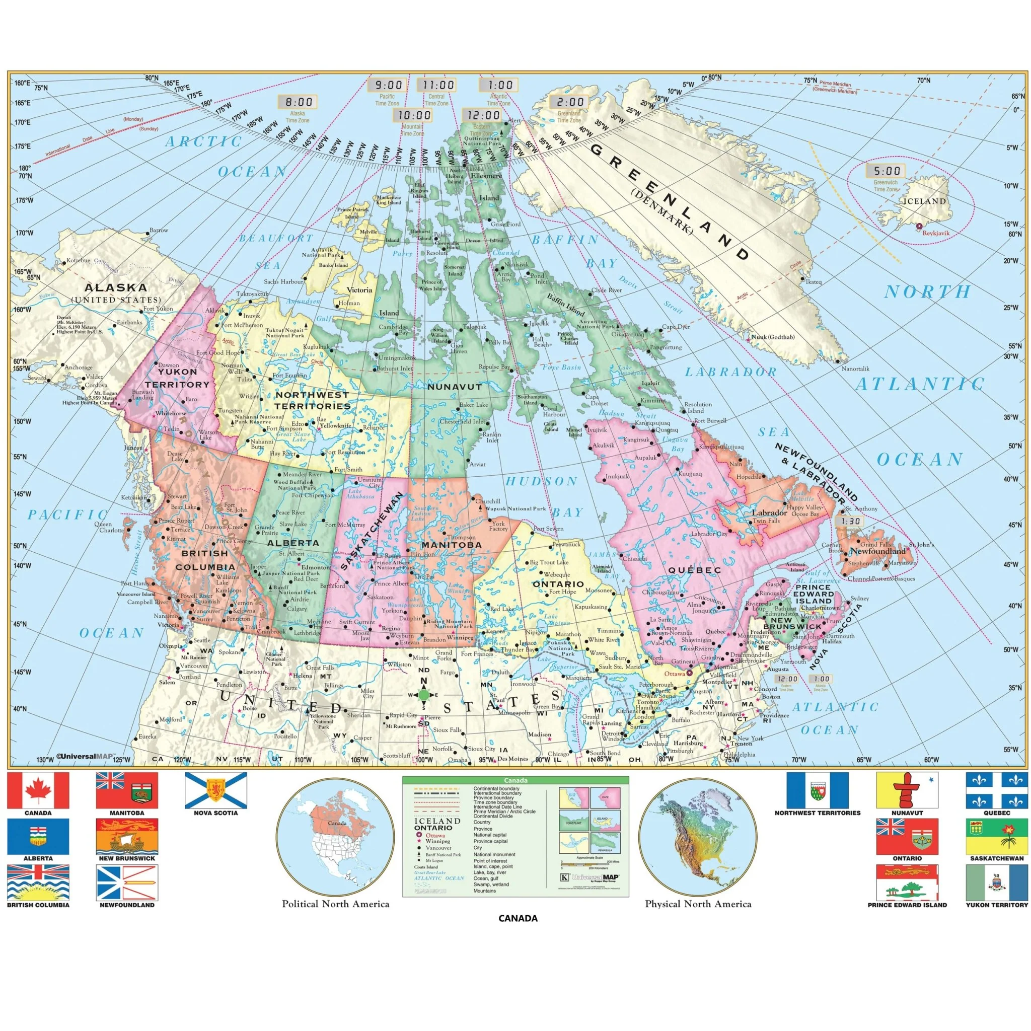
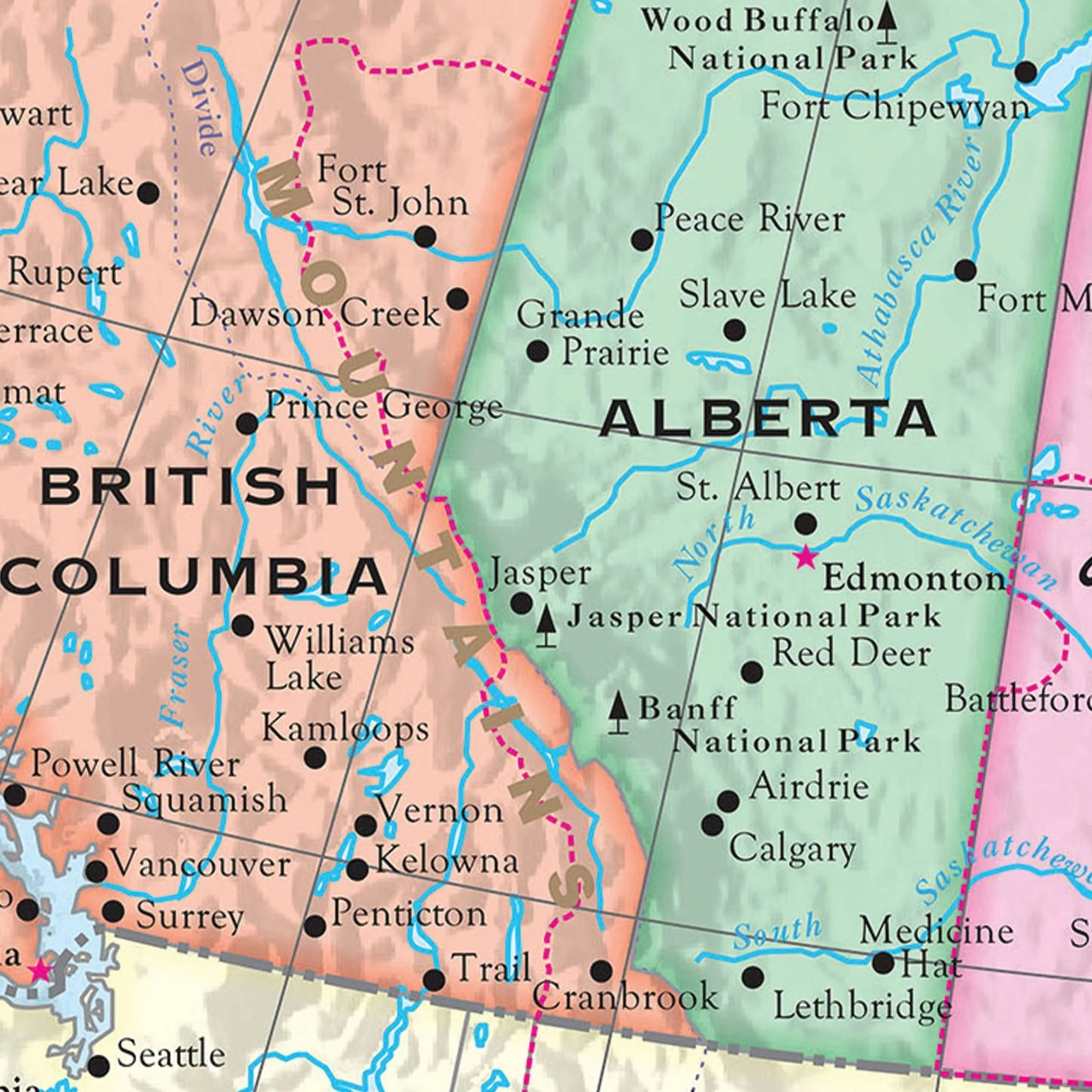
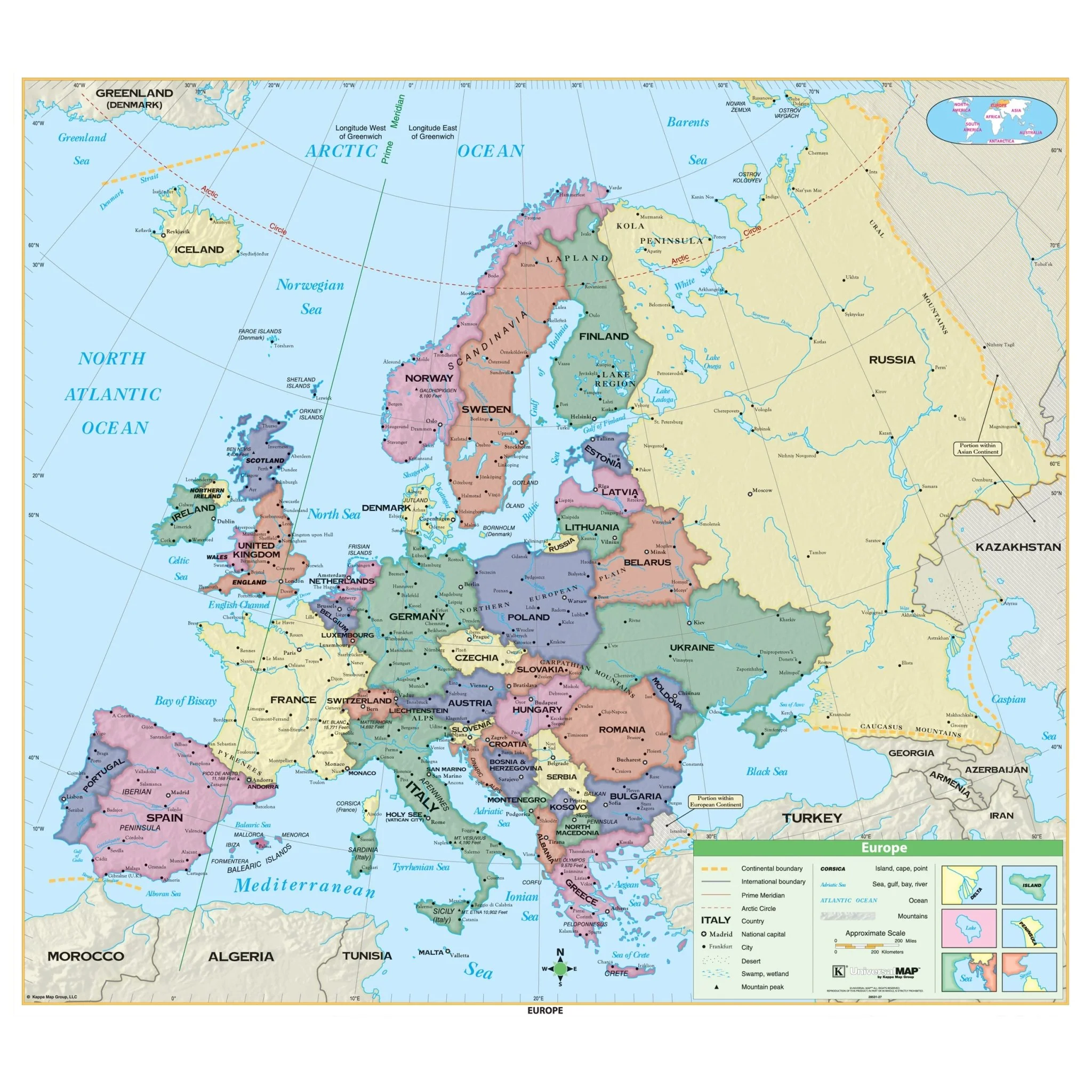
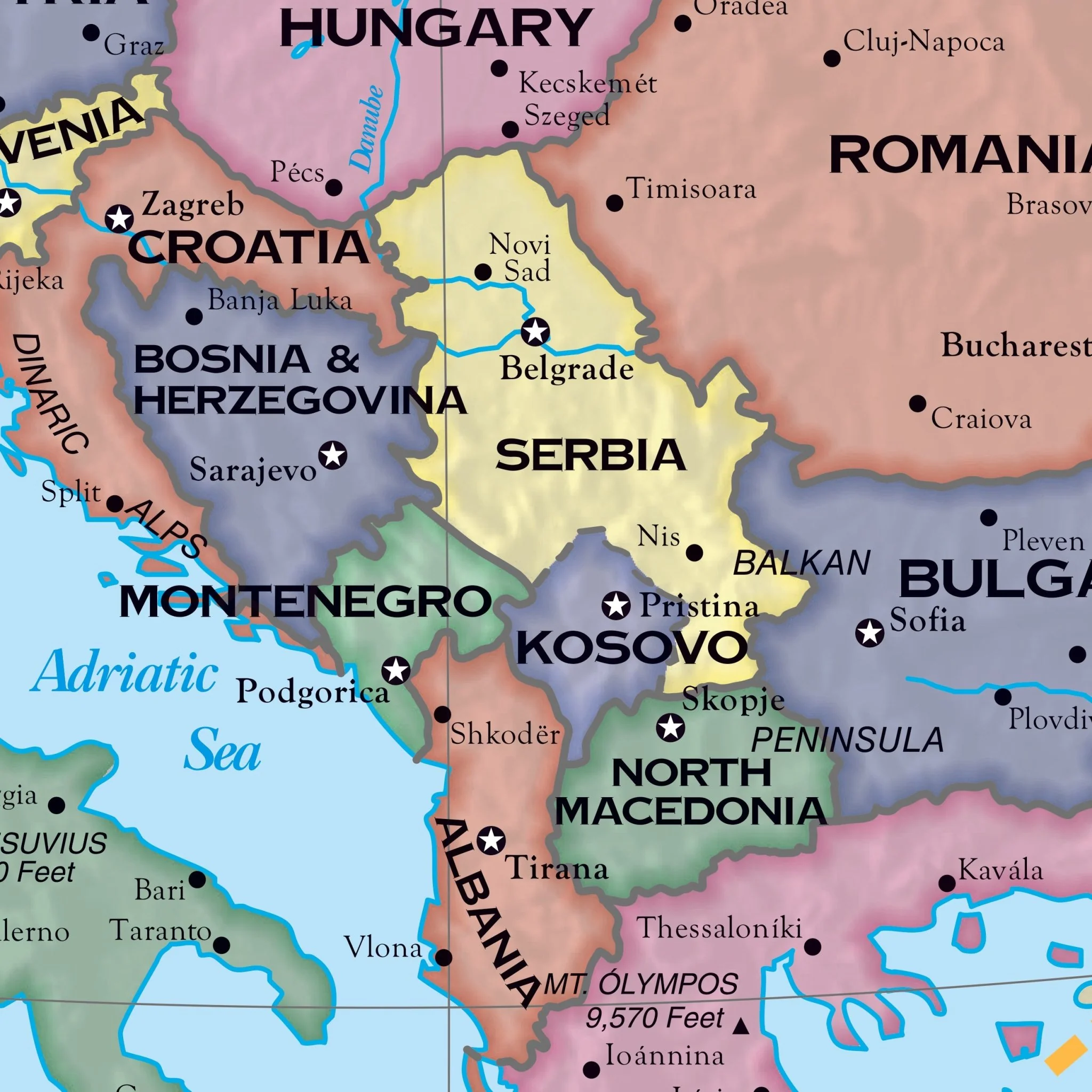
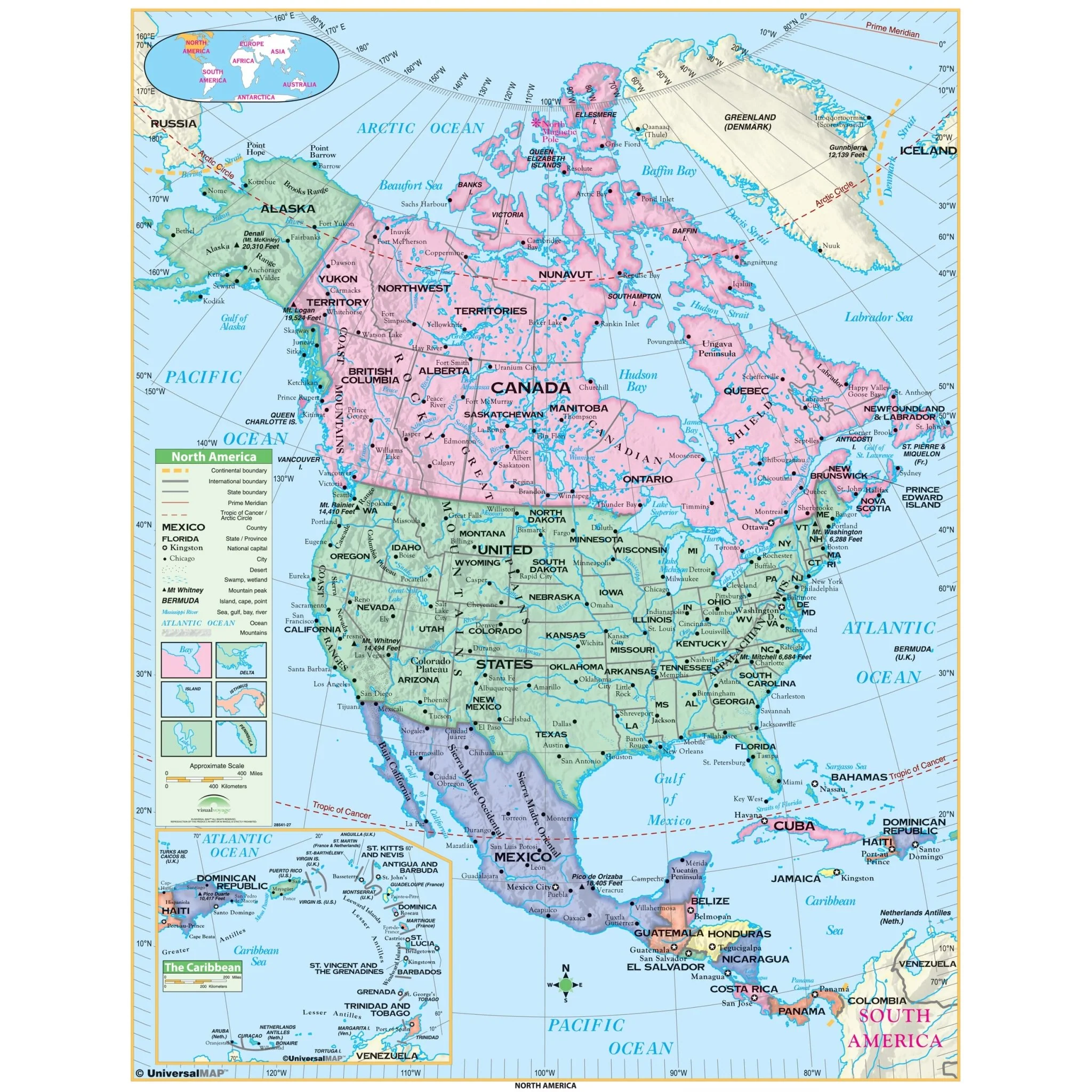
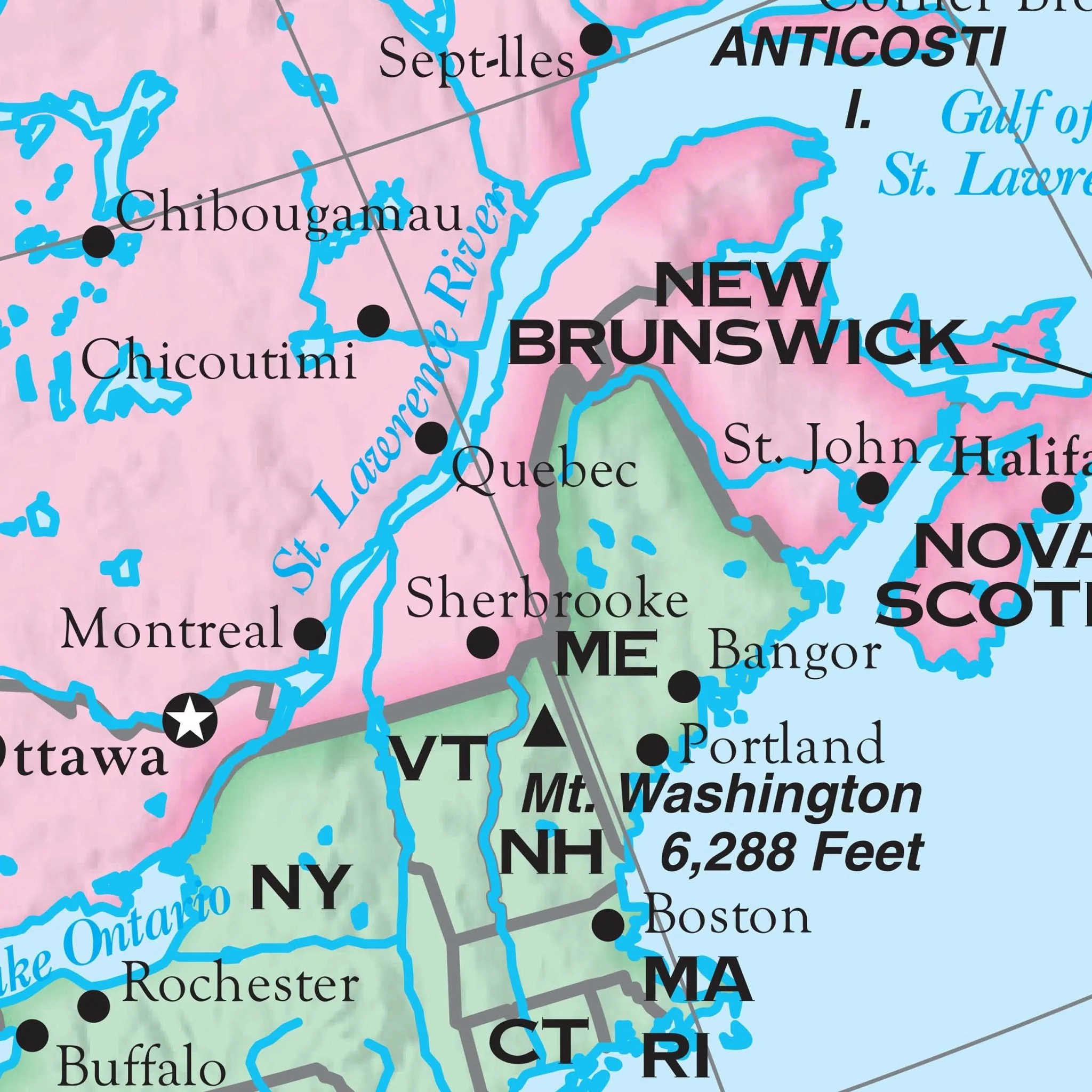
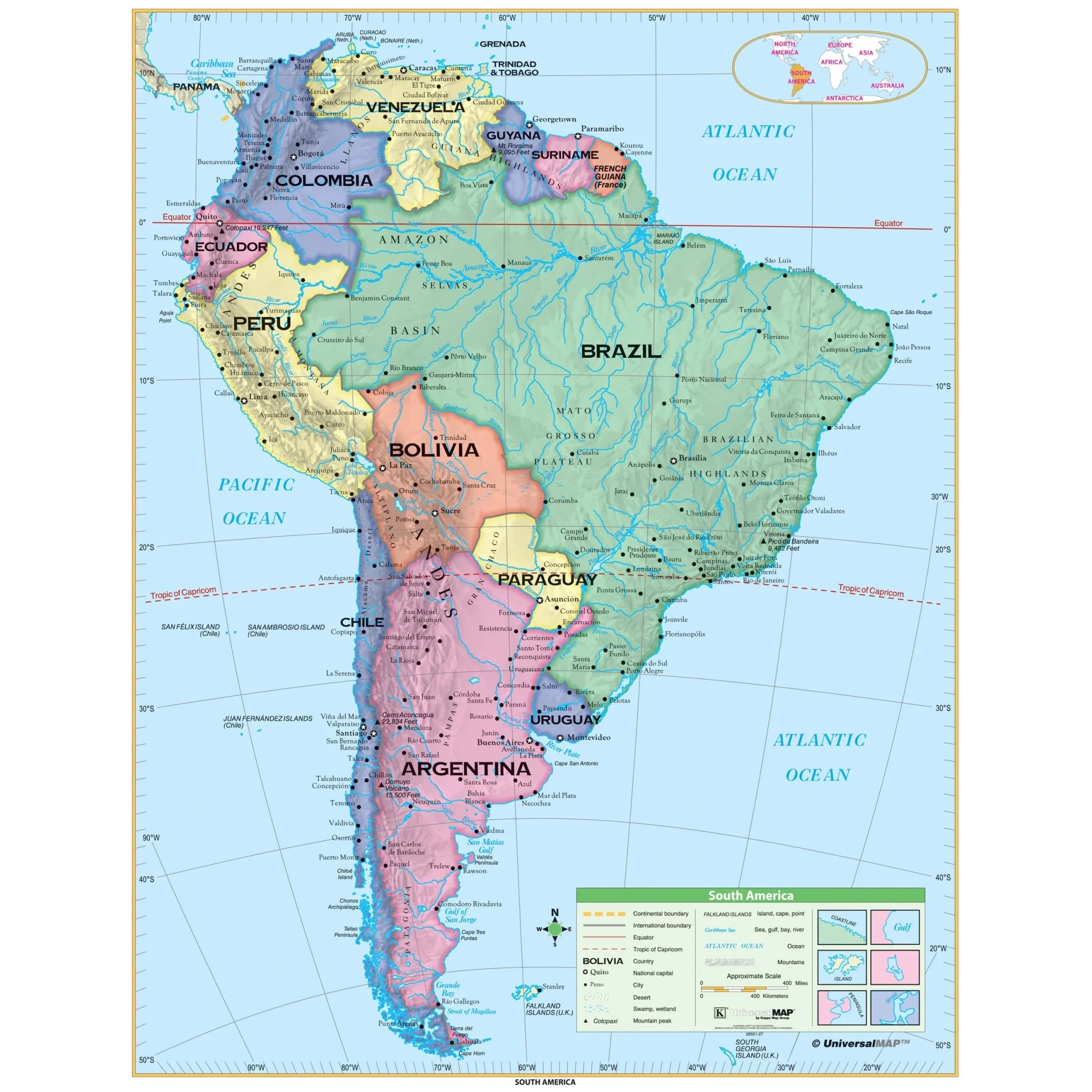
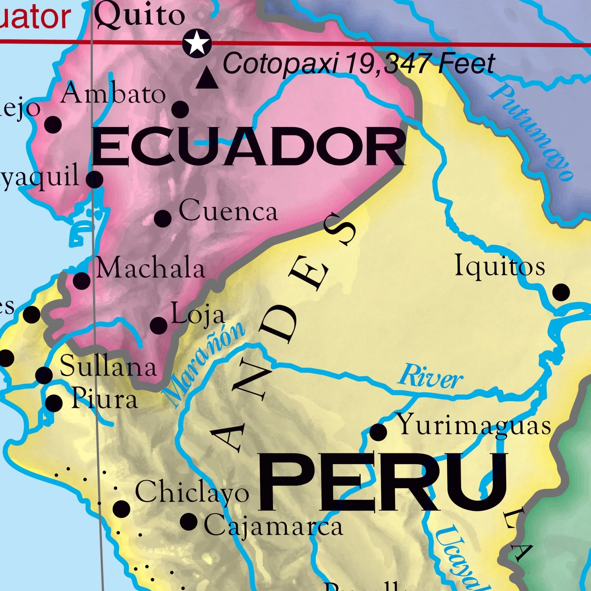
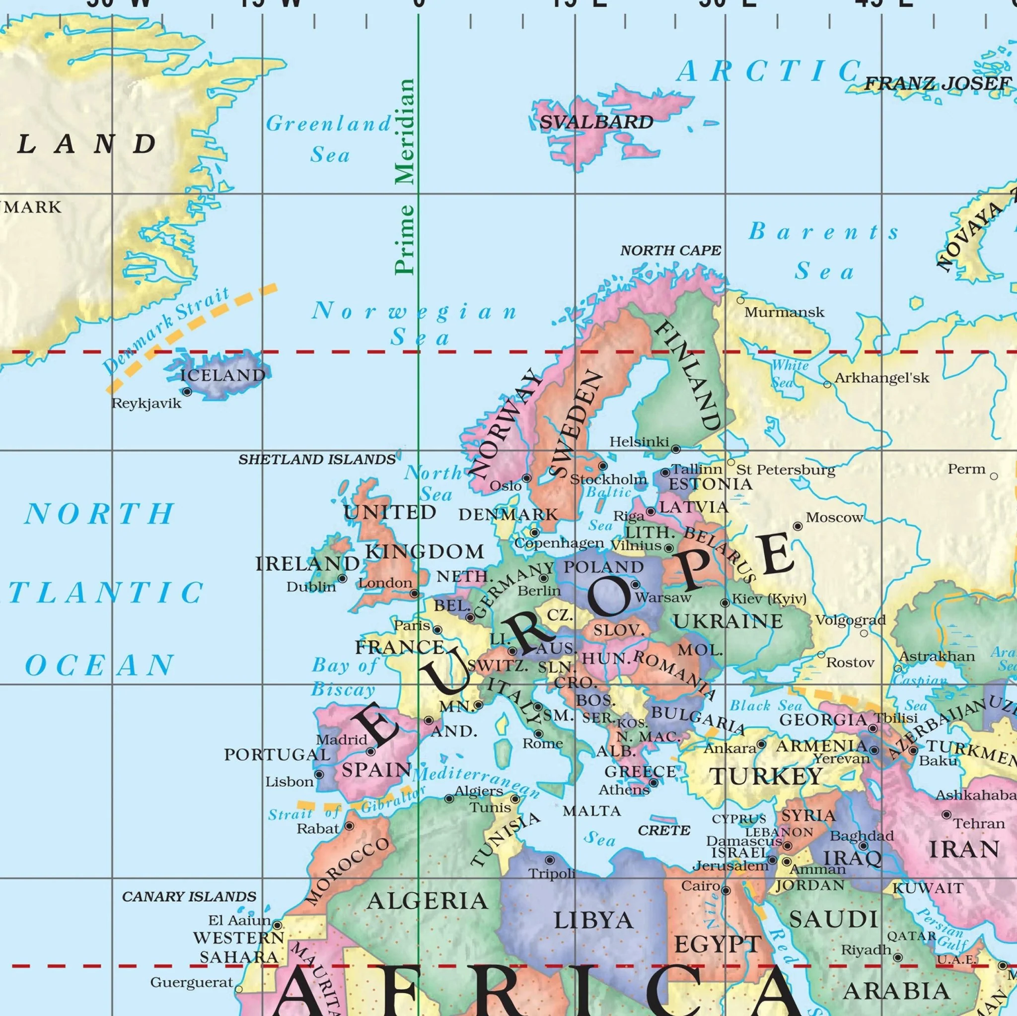
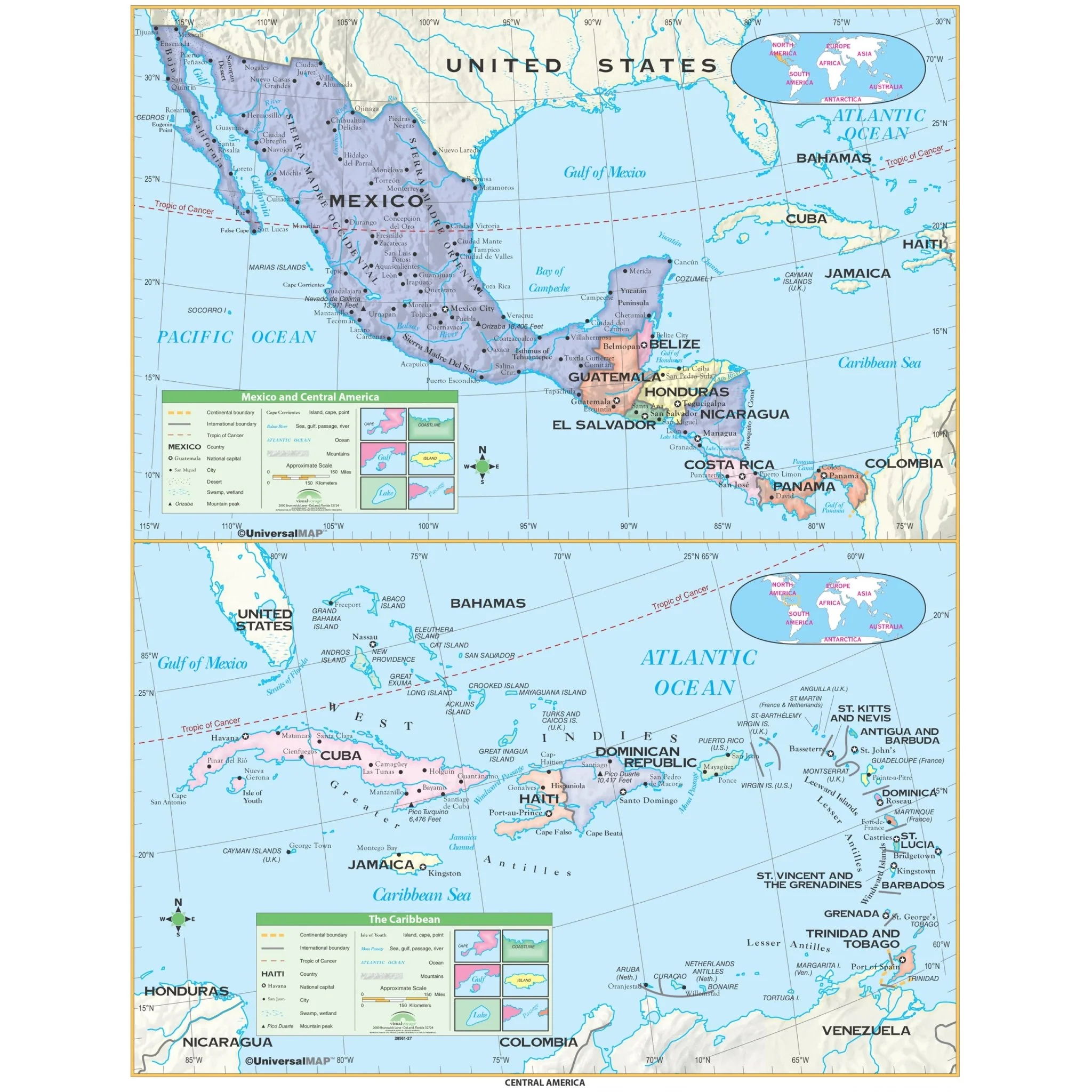
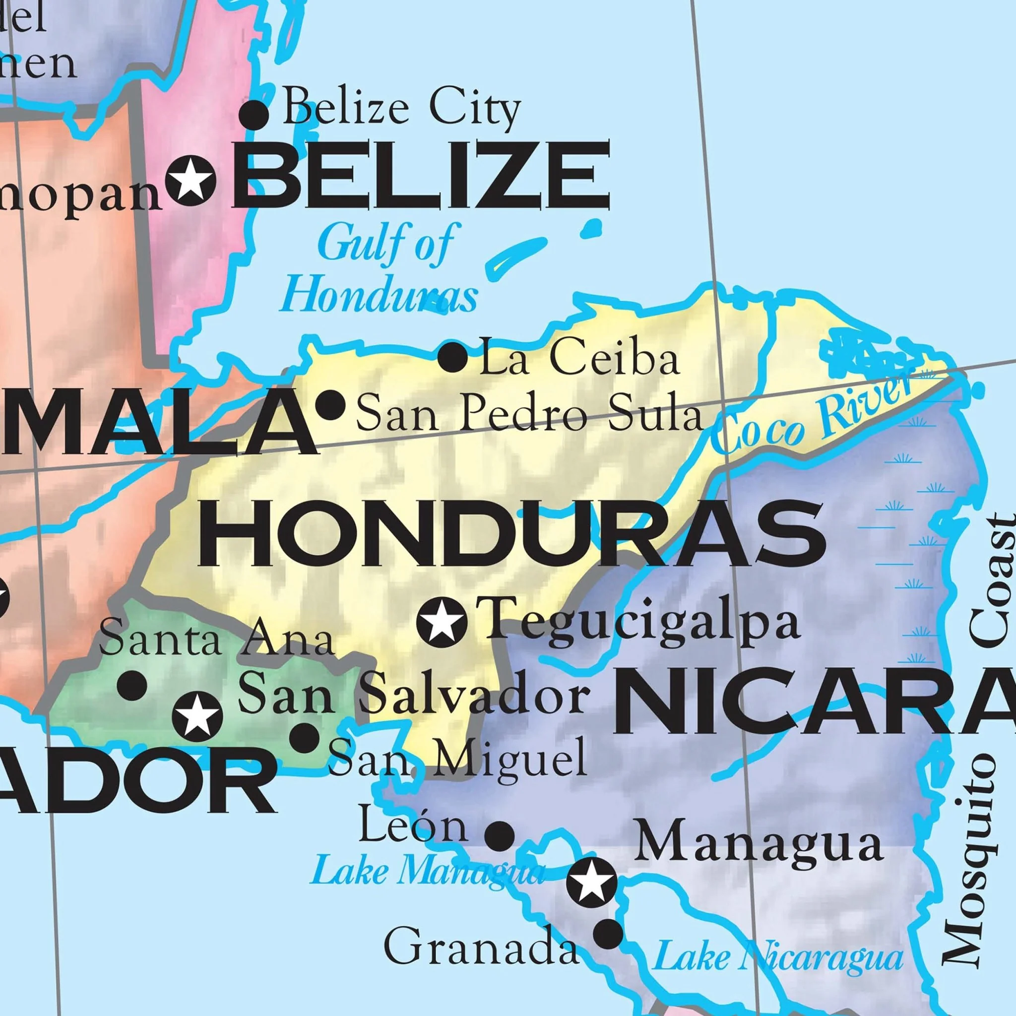
The Essential Wall Map series by Kappa Map Group is an ideal educational resource tailored for grades 4-8, providing essential geographical knowledge in an accessible format. The Central America Essential Wall Map encompasses Mexico, all of Central America, the Caribbean, and the Bahamas. These maps feature vibrant color-coded countries, ensuring clear identification of political boundaries, and are designed with an emphasis on legibility and clarity. The series includes a range of valuable features, including:
- Enriched legend with landform types
- Shaded relief for visual depth
- Country boundaries
- National capitals
- Major cities
- Latitude and longitude lines, with an emphasis on major latitudes
- Waterbodies and rivers
These maps are designed to provide students and educators with an accessible and informative tool for exploring the world's geography, making them invaluable resources for classroom settings.
Target Grade Range: 4 through 8
Sizes: 54" x 69" | 42" x 53.7"
Published: 2004
Original: $99.99
-70%$99.99
$30.00Product Information
Product Information
Shipping & Returns
Shipping & Returns
Description
The Essential Wall Map series by Kappa Map Group is an ideal educational resource tailored for grades 4-8, providing essential geographical knowledge in an accessible format. The Central America Essential Wall Map encompasses Mexico, all of Central America, the Caribbean, and the Bahamas. These maps feature vibrant color-coded countries, ensuring clear identification of political boundaries, and are designed with an emphasis on legibility and clarity. The series includes a range of valuable features, including:
- Enriched legend with landform types
- Shaded relief for visual depth
- Country boundaries
- National capitals
- Major cities
- Latitude and longitude lines, with an emphasis on major latitudes
- Waterbodies and rivers
These maps are designed to provide students and educators with an accessible and informative tool for exploring the world's geography, making them invaluable resources for classroom settings.
Target Grade Range: 4 through 8
Sizes: 54" x 69" | 42" x 53.7"
Published: 2004