


Colorado State Wall Map
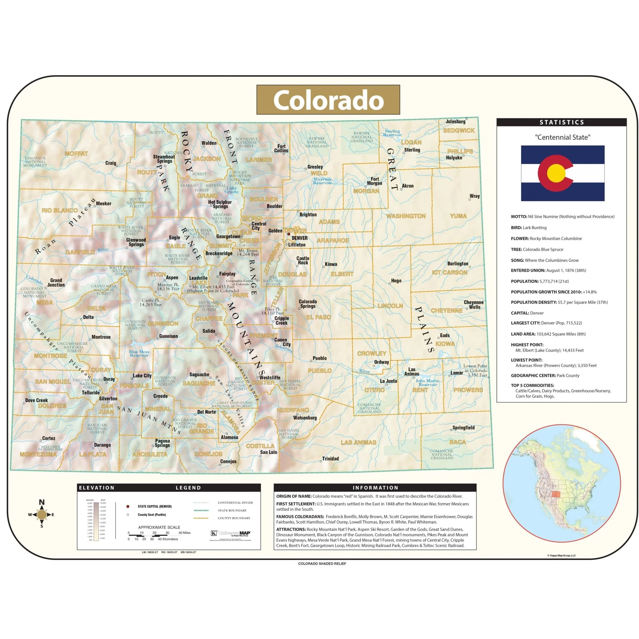
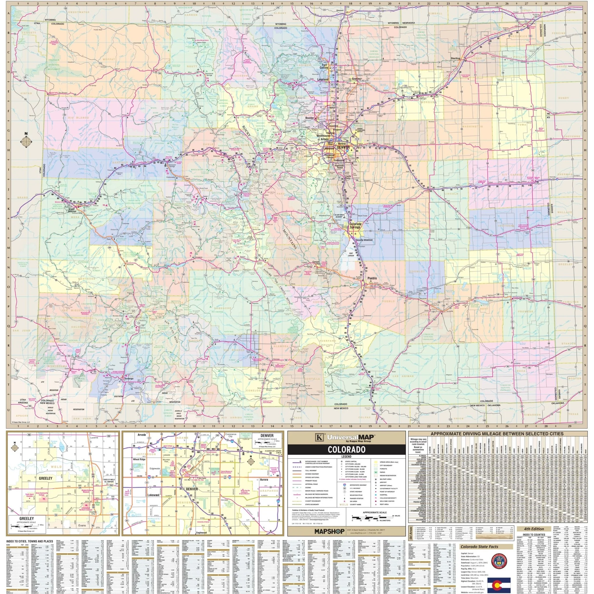
The Colorado State Wall Map by Kappa Map Group provides comprehensive geographical information, featuring a scale of 1" = 8.5 miles. It includes details such as streets, airports, government buildings, post offices, cemeteries, fire and police stations, hospitals, shopping centers, educational institutions, railroads, water features, golf and country clubs, mileage circles, recreational parks, ZIP codes and boundaries, as well as block numbers. Cities and counties are conveniently indexed on the map's face for easy reference.
Size: 56.5" x 58.5"
Published: 2013
Original: $139.99
-70%$139.99
$42.00Product Information
Product Information
Shipping & Returns
Shipping & Returns
Description
The Colorado State Wall Map by Kappa Map Group provides comprehensive geographical information, featuring a scale of 1" = 8.5 miles. It includes details such as streets, airports, government buildings, post offices, cemeteries, fire and police stations, hospitals, shopping centers, educational institutions, railroads, water features, golf and country clubs, mileage circles, recreational parks, ZIP codes and boundaries, as well as block numbers. Cities and counties are conveniently indexed on the map's face for easy reference.
Size: 56.5" x 58.5"
Published: 2013