


Eugene-Springfield, OR Wall Map
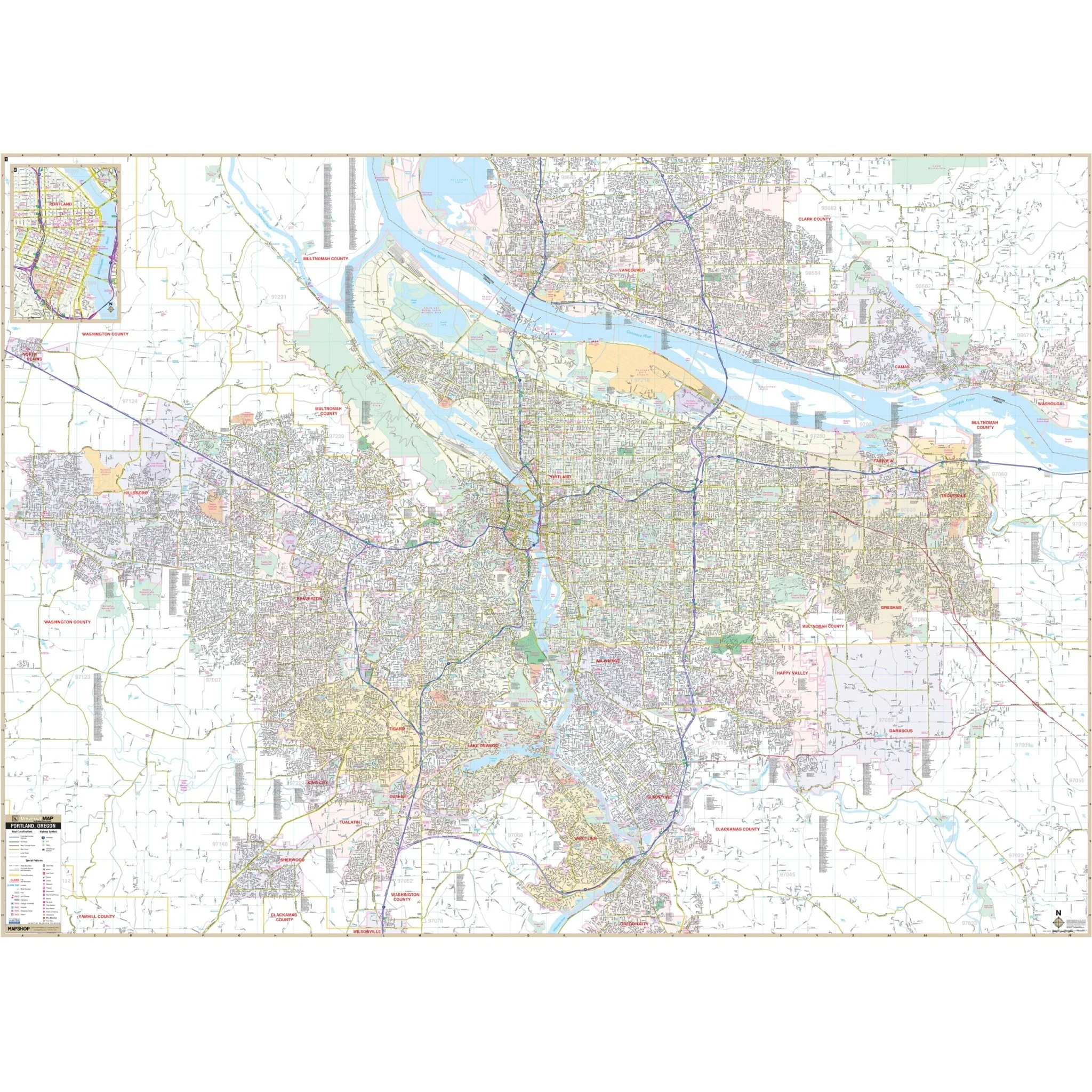
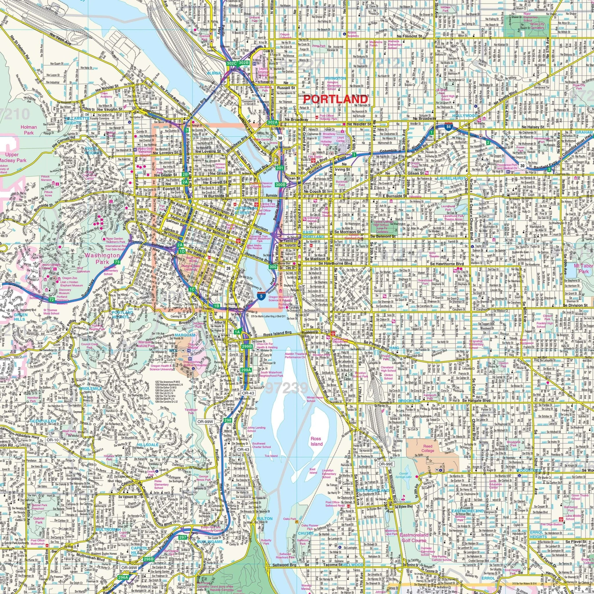
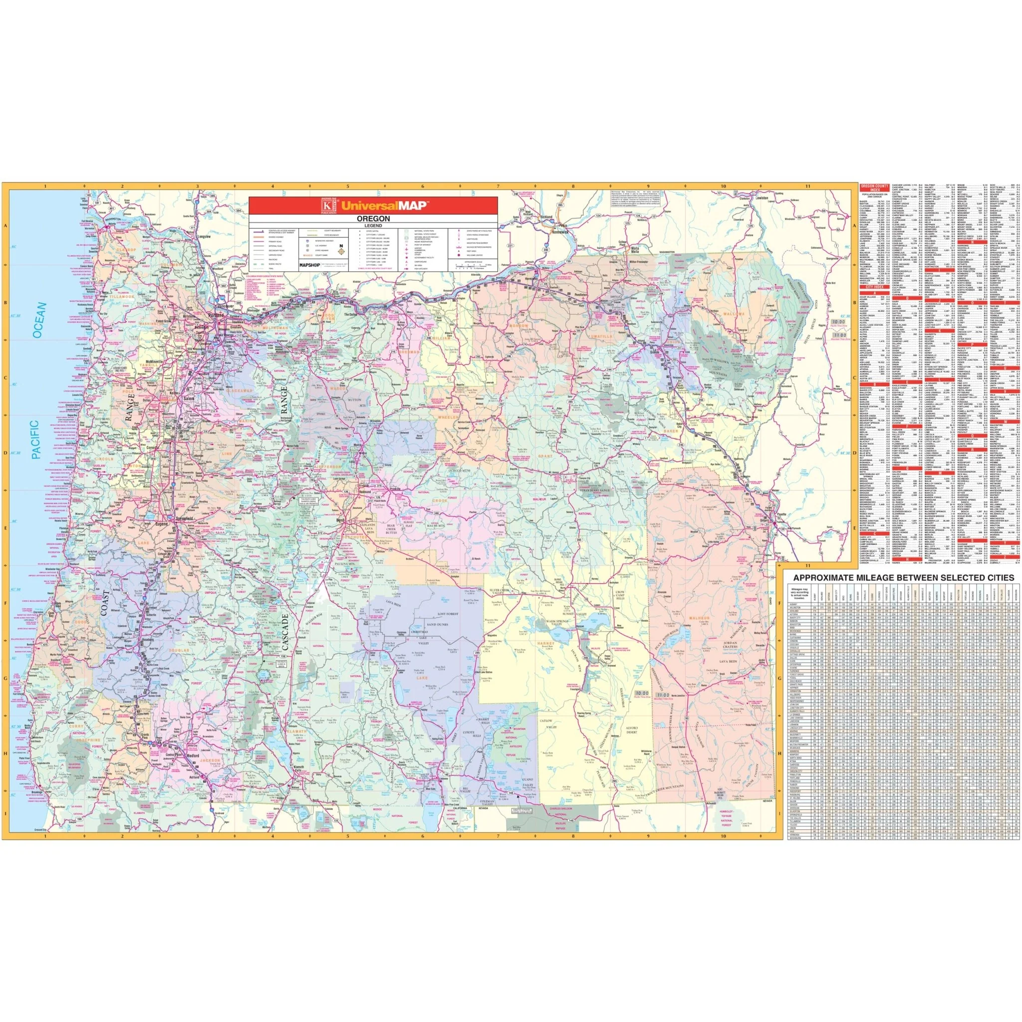
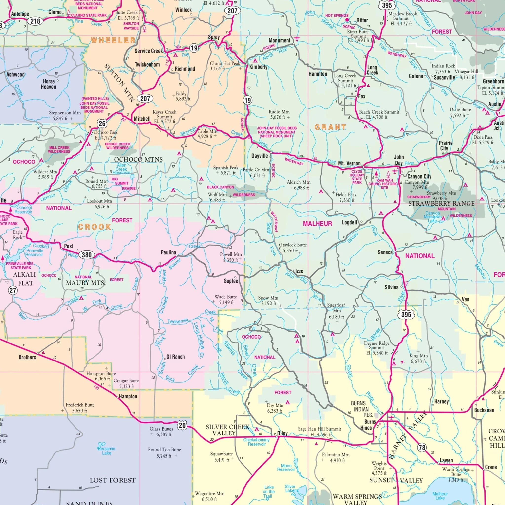
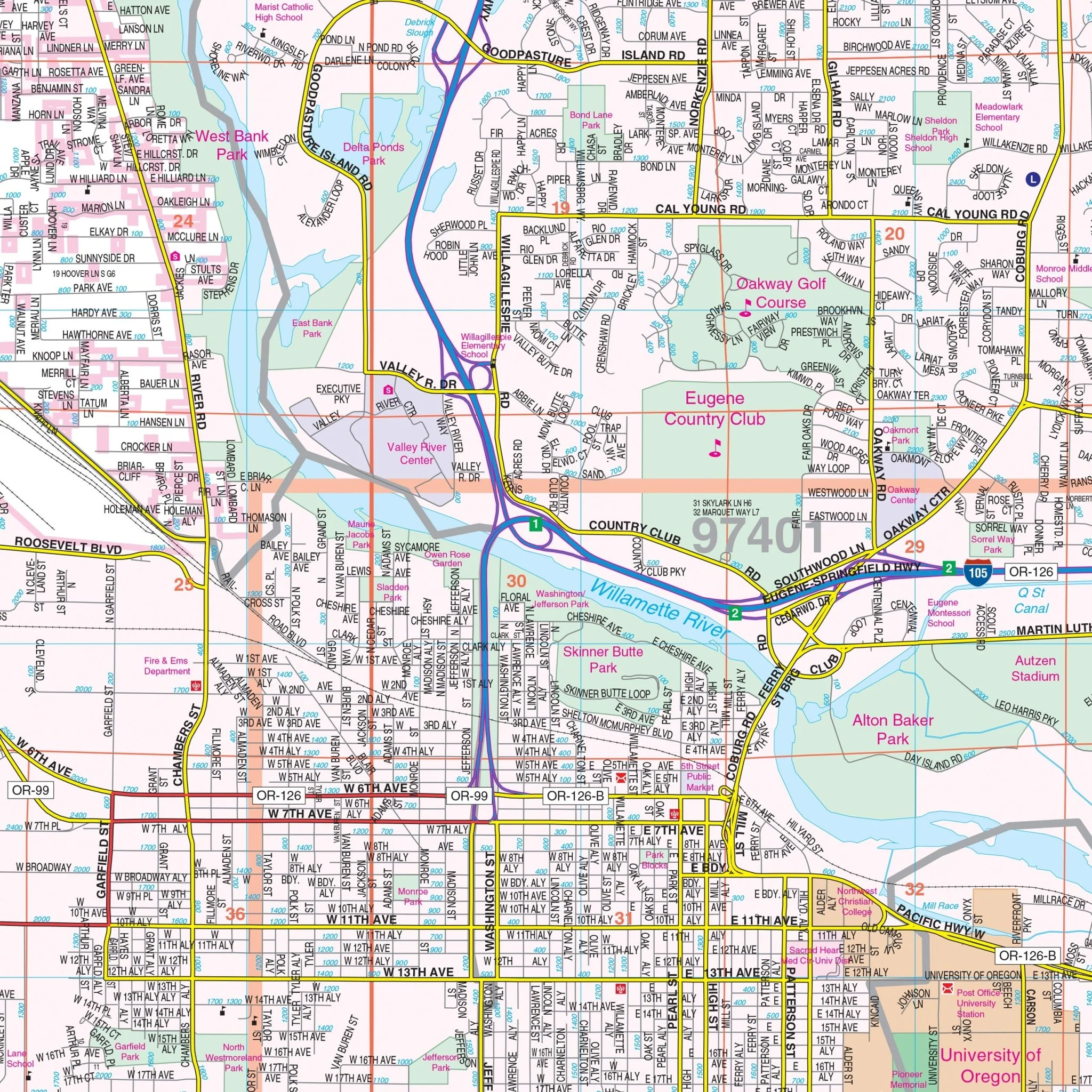
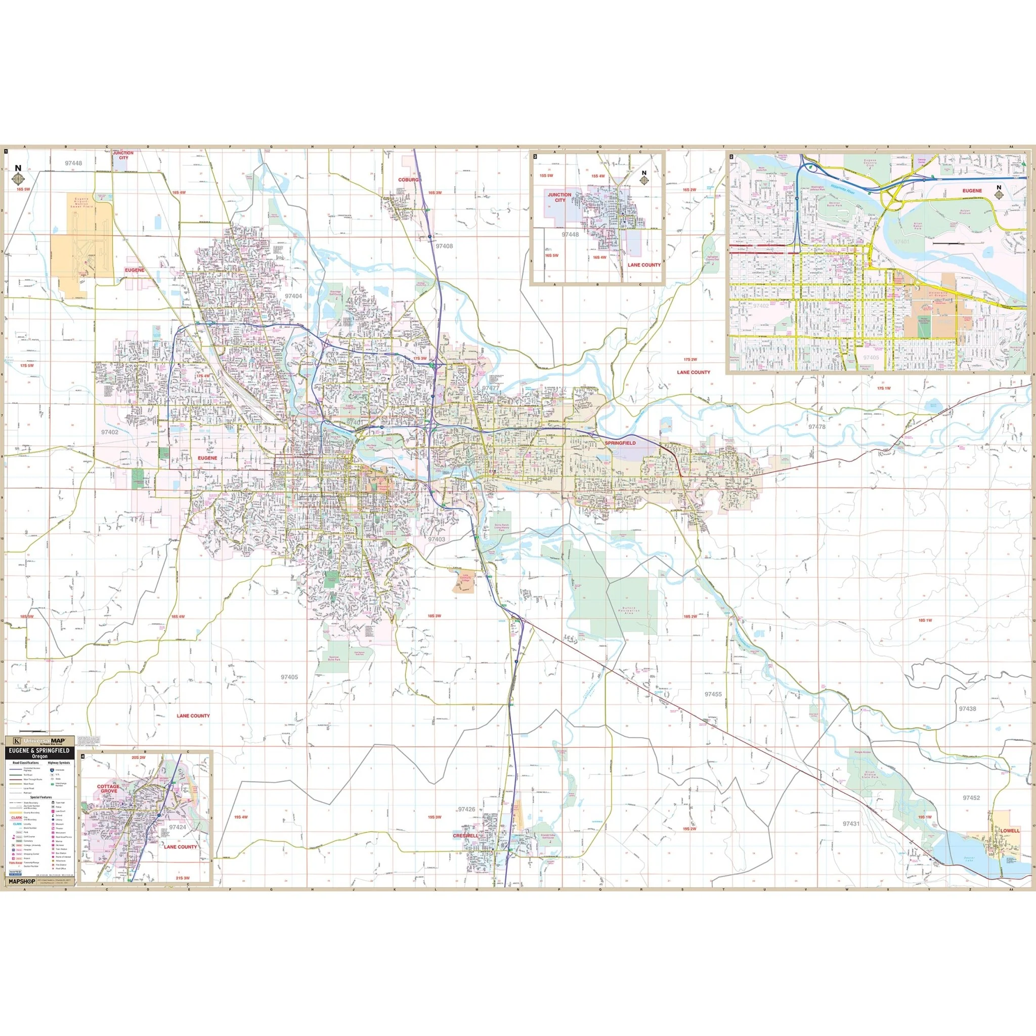
The Eugene – Springfield, Oregon Wall Map by Kappa Map Group provides complete street detail at a scale of 1" = 2,000 feet. The area of coverage encompasses:
- North: all of the City of Coburg
- South: all of the city of Creswell and Lowell
- East: all of the city of Springfield and Lowell
- West: to include Mahlon Sweet Field (Eugene Airport)
Key features and details on this map include airports, all streets and highways, government buildings, cemeteries, shopping centers, fire and police stations, hospitals, water features, educational facilities, railroads, recreational parks, golf courses and country clubs, post offices, ZIP code numbers and boundaries, township names, city limits (color-coded), and points of interest.
Size: 66" x 48"
Published: 2013
Original: $139.99
-70%$139.99
$42.00Product Information
Product Information
Shipping & Returns
Shipping & Returns
Description
The Eugene – Springfield, Oregon Wall Map by Kappa Map Group provides complete street detail at a scale of 1" = 2,000 feet. The area of coverage encompasses:
- North: all of the City of Coburg
- South: all of the city of Creswell and Lowell
- East: all of the city of Springfield and Lowell
- West: to include Mahlon Sweet Field (Eugene Airport)
Key features and details on this map include airports, all streets and highways, government buildings, cemeteries, shopping centers, fire and police stations, hospitals, water features, educational facilities, railroads, recreational parks, golf courses and country clubs, post offices, ZIP code numbers and boundaries, township names, city limits (color-coded), and points of interest.
Size: 66" x 48"
Published: 2013