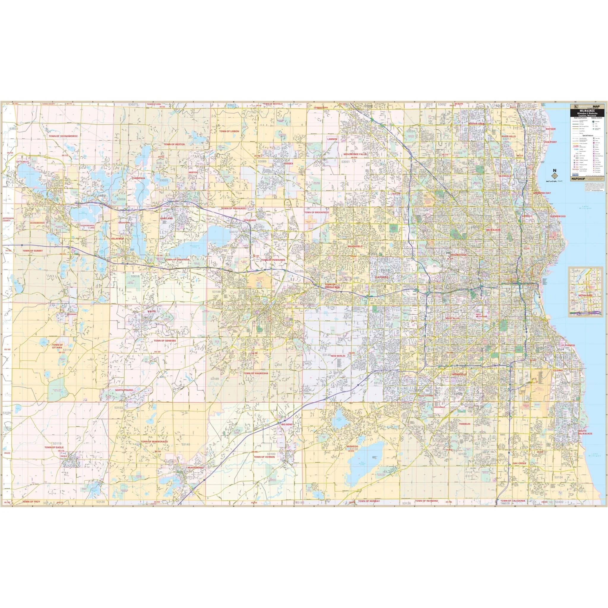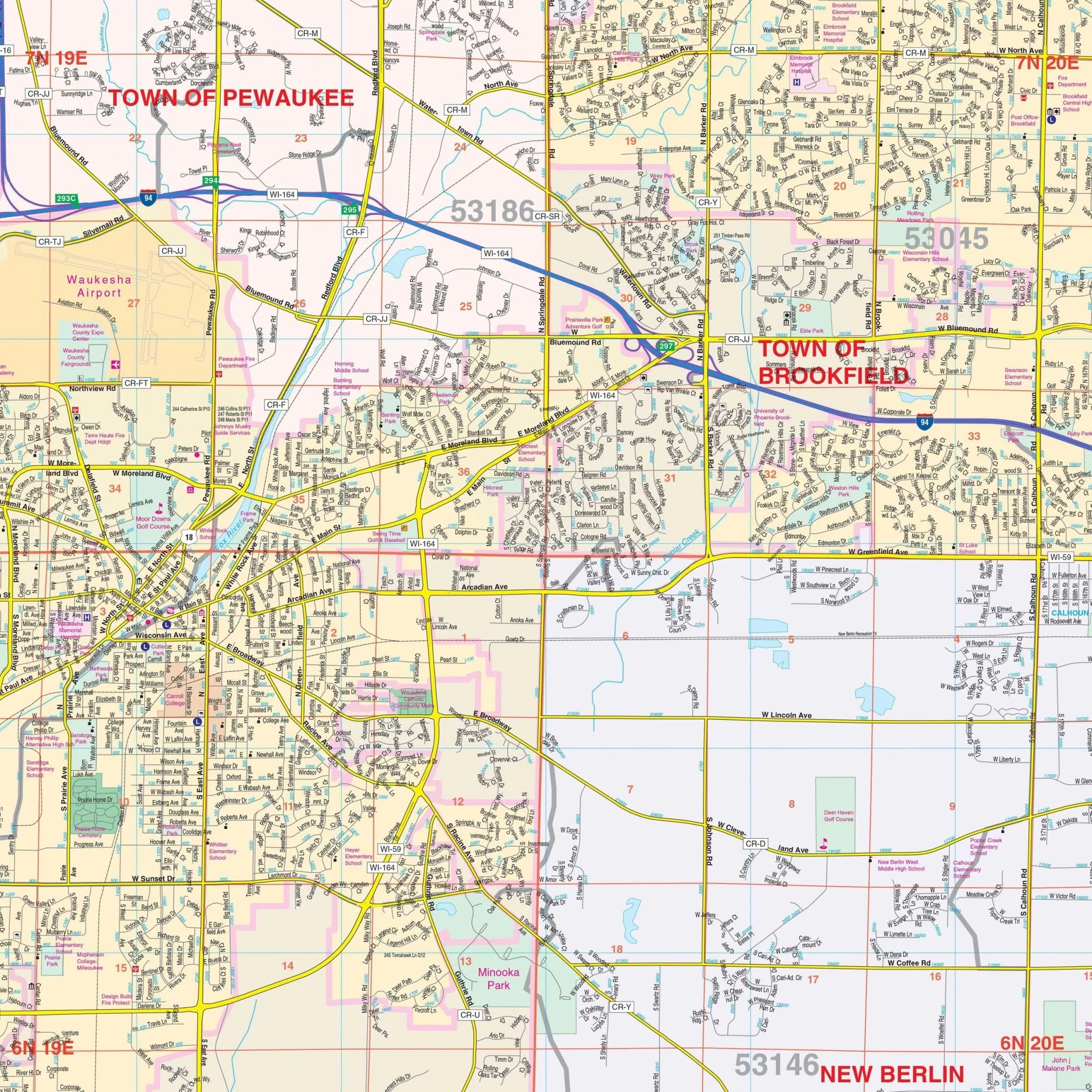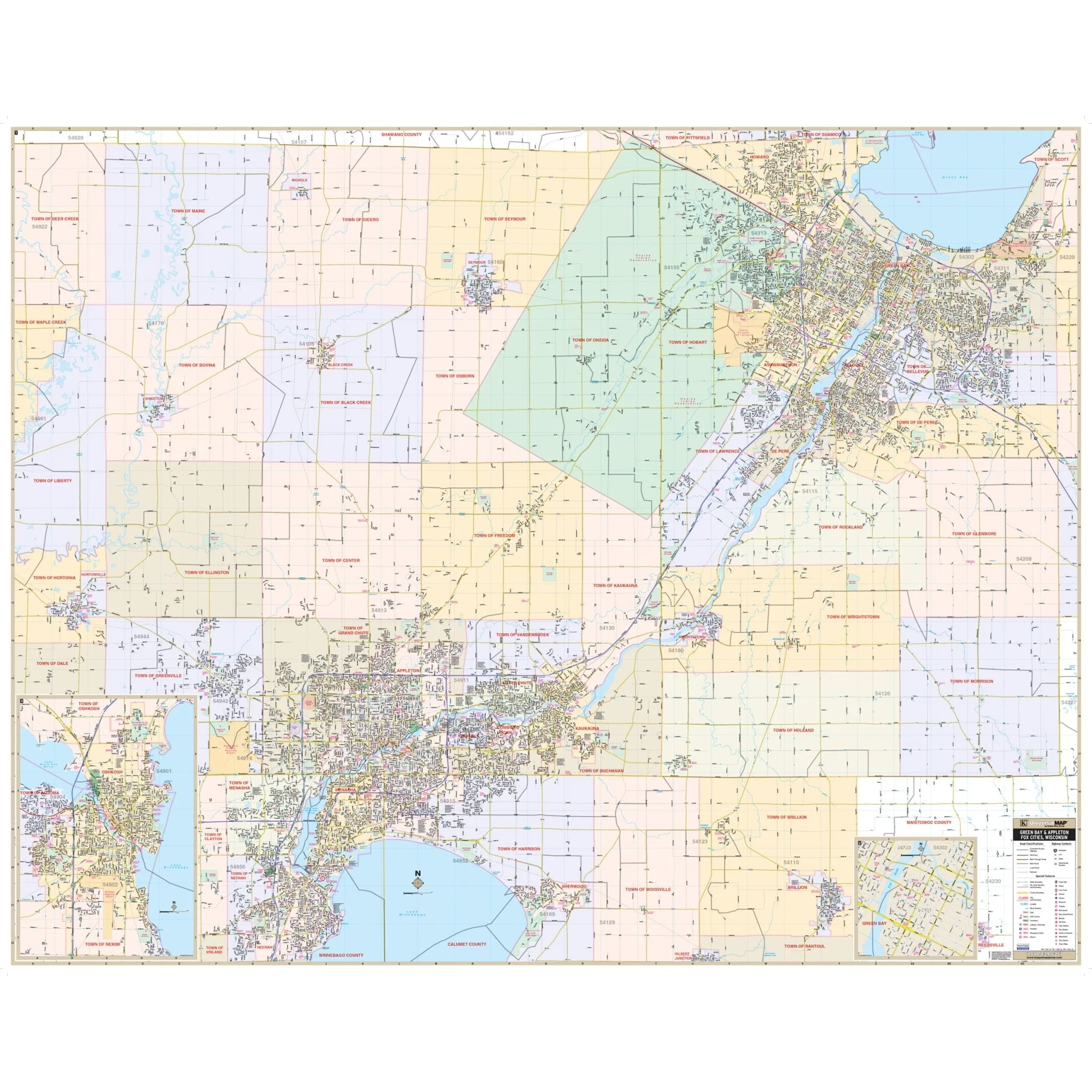


Fox Cities, WI Wall Map
The Green Bay, Appleton, and Fox Cities, WI Wall Map, with adjacent areas, provides complete street detail and covers the following area:
- North to Howard
- South to Neenah and Brillion
- East to Green Bay
- West to Hortonville
This wall map also includes inset maps of Oshkosh and Downtown Green Bay. Details and features available on this map encompass airports, block numbers, cemeteries, color-coded city limits, educational institutions, fire and police stations, golf and country clubs, government buildings, hospitals, libraries, points of interest, post offices, railroads, recreational parks, shopping centers, streets and highways, water features, and ZIP code boundaries.
Size: 72.25" x 57"
Published: 2012
Original: $149.99
-70%$149.99
$45.00Product Information
Product Information
Shipping & Returns
Shipping & Returns
Description
The Green Bay, Appleton, and Fox Cities, WI Wall Map, with adjacent areas, provides complete street detail and covers the following area:
- North to Howard
- South to Neenah and Brillion
- East to Green Bay
- West to Hortonville
This wall map also includes inset maps of Oshkosh and Downtown Green Bay. Details and features available on this map encompass airports, block numbers, cemeteries, color-coded city limits, educational institutions, fire and police stations, golf and country clubs, government buildings, hospitals, libraries, points of interest, post offices, railroads, recreational parks, shopping centers, streets and highways, water features, and ZIP code boundaries.
Size: 72.25" x 57"
Published: 2012