


Utah Intermediate Thematic State Wall Map
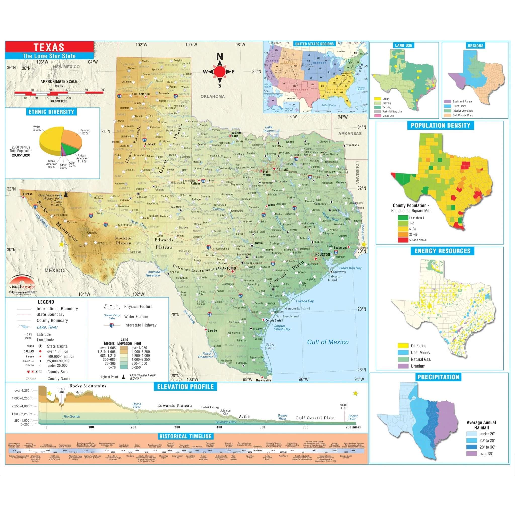
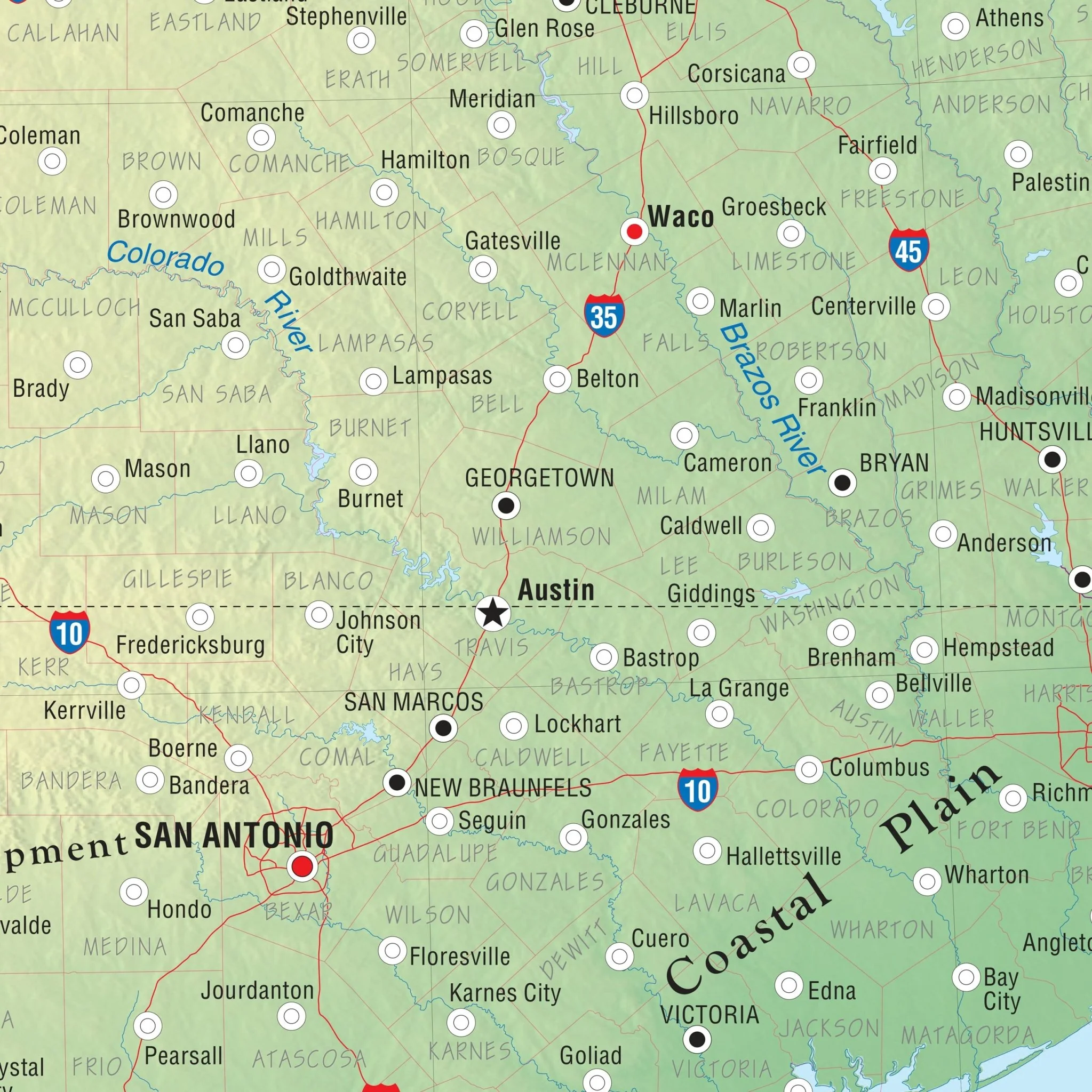
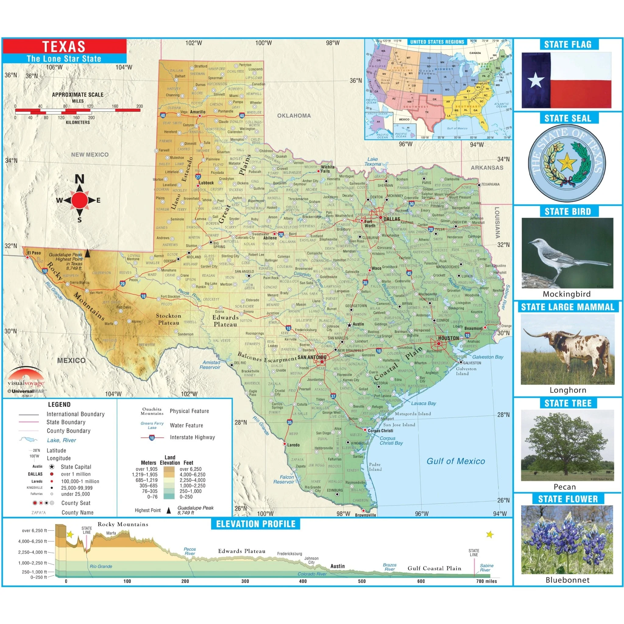
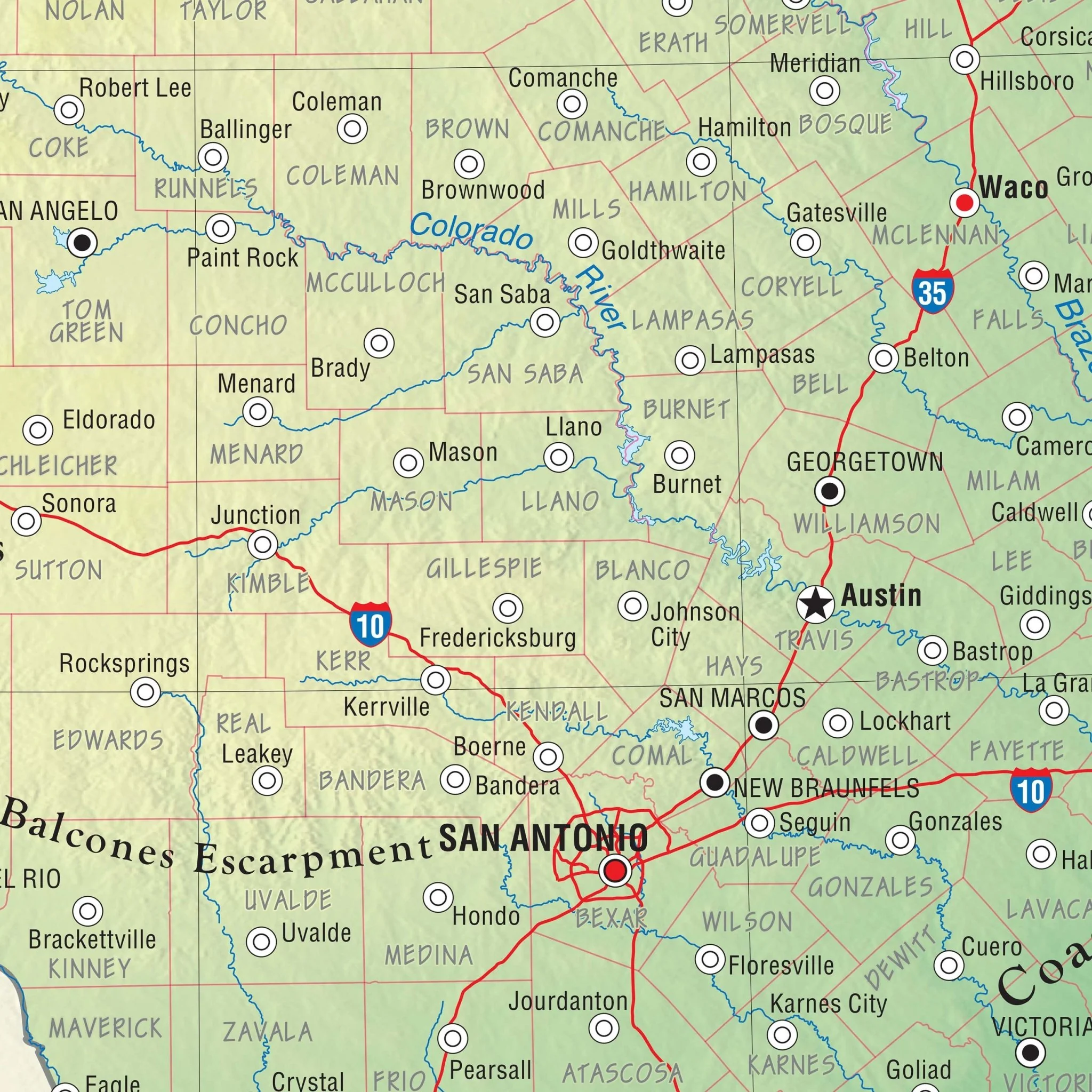
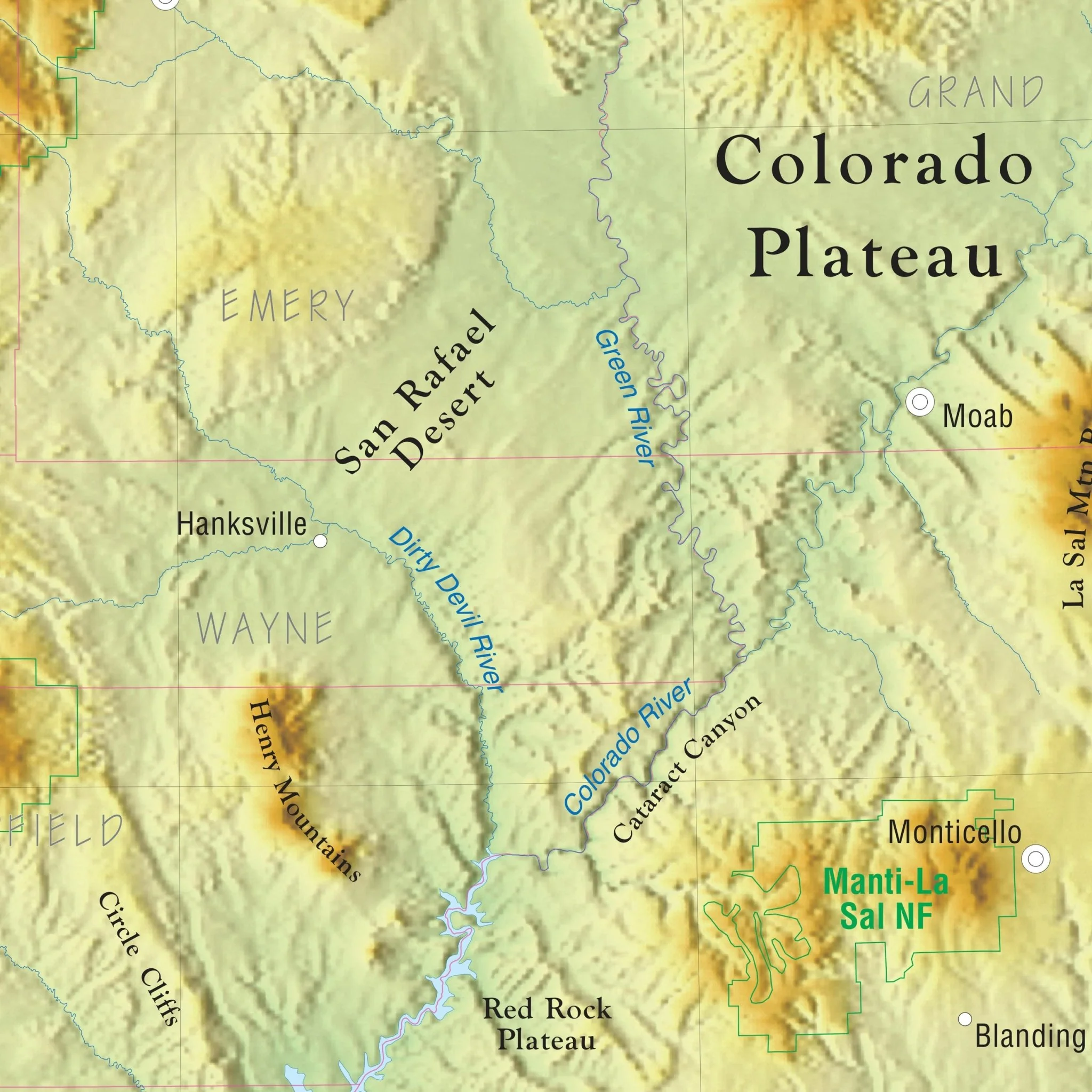
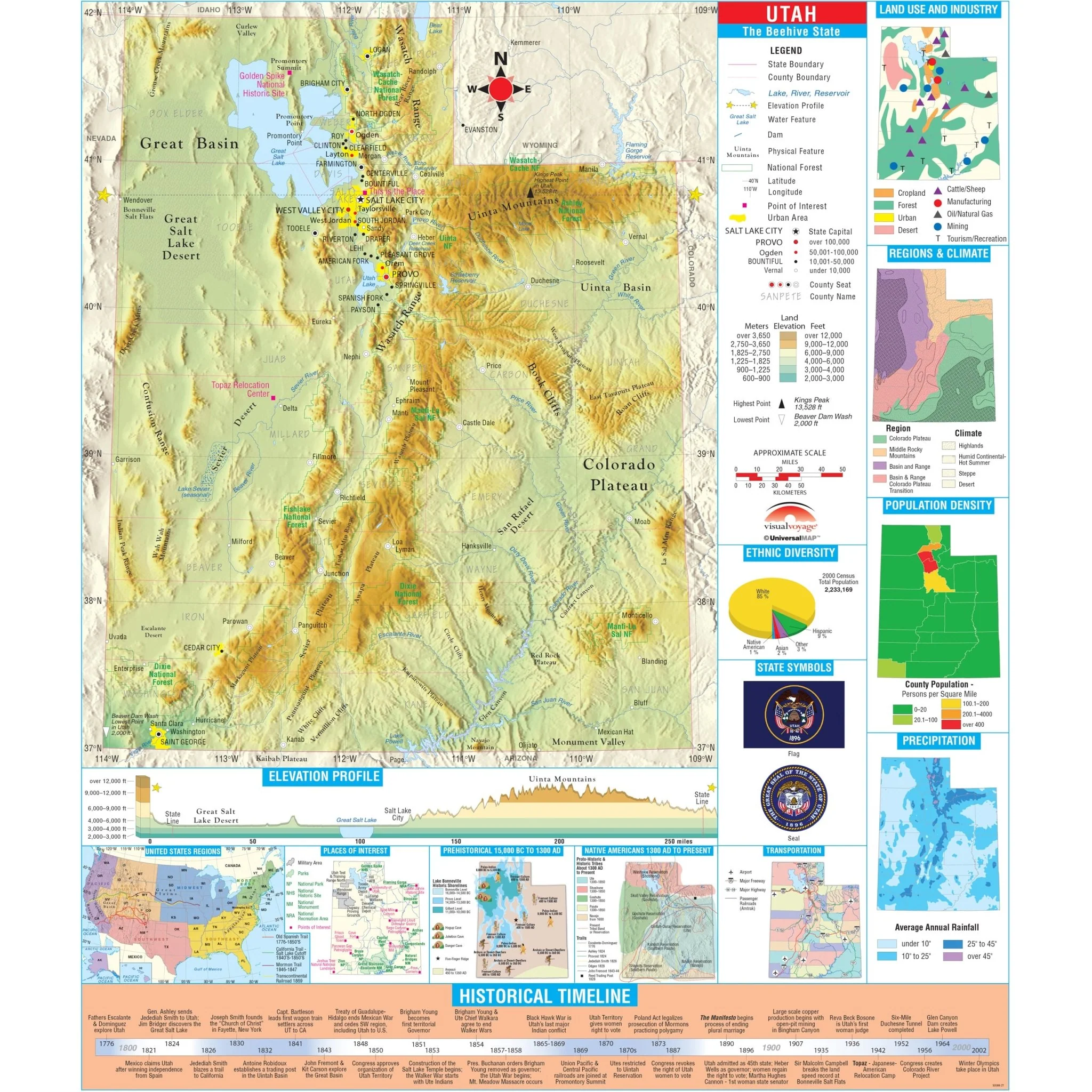
The Utah State Intermediate Thematic Wall Map is the perfect teaching aid for state studies and related subjects. Political/physical maps with hypsometric colorations; shows county boundaries, interstate highways, county seats, cities and towns and state regions. Maps correlate with state standards and curriculum guidelines.
Intermediate Thematic Wall Maps feature a historical timeline and elevation profile, plus insets of land use, ethnic diversity and population, average precipitation and more. This product is ideal for public, private, parochial, and home schools. 
Size: 54" x 64"
Published: 2006
Original: $139.99
-70%$139.99
$42.00Product Information
Product Information
Shipping & Returns
Shipping & Returns
Description
The Utah State Intermediate Thematic Wall Map is the perfect teaching aid for state studies and related subjects. Political/physical maps with hypsometric colorations; shows county boundaries, interstate highways, county seats, cities and towns and state regions. Maps correlate with state standards and curriculum guidelines.
Intermediate Thematic Wall Maps feature a historical timeline and elevation profile, plus insets of land use, ethnic diversity and population, average precipitation and more. This product is ideal for public, private, parochial, and home schools. 
Size: 54" x 64"
Published: 2006