

Vermont State Wall Map
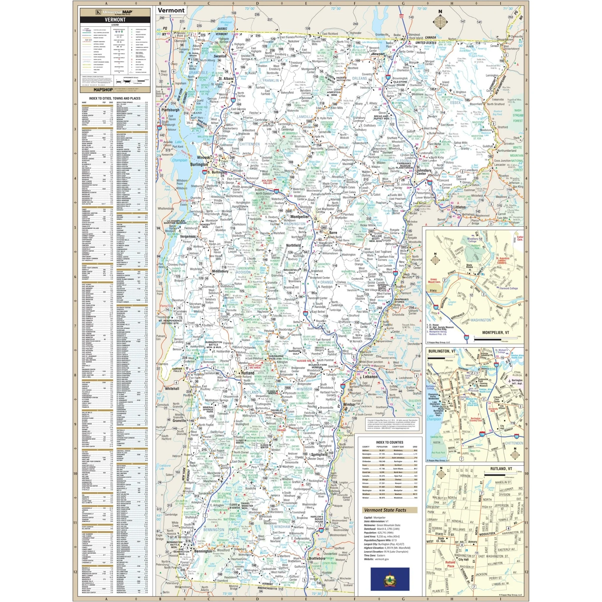
The Vermont State Wall Map by Kappa Map Group is a comprehensive and detailed representation of the state. It includes indexes of cities and counties directly on the face of the map for easy reference. The map encompasses a wide range of details, including state and federal highways, county names and lines, airports, a state facts chart, mileage circles, universities, longitude and latitude lines, water features, ghost towns, military/customs stations, rest areas, and wildlife areas.
This map is a valuable resource for residents, travelers, students, and professionals seeking an in-depth understanding of Vermont's geographical layout, infrastructure, and key locations. It serves as a comprehensive tool for navigation, education, and reference.
Size: 48.5" x 64.5"
Published: 2014
Original: $139.99
-70%$139.99
$42.00Product Information
Product Information
Shipping & Returns
Shipping & Returns
Description
The Vermont State Wall Map by Kappa Map Group is a comprehensive and detailed representation of the state. It includes indexes of cities and counties directly on the face of the map for easy reference. The map encompasses a wide range of details, including state and federal highways, county names and lines, airports, a state facts chart, mileage circles, universities, longitude and latitude lines, water features, ghost towns, military/customs stations, rest areas, and wildlife areas.
This map is a valuable resource for residents, travelers, students, and professionals seeking an in-depth understanding of Vermont's geographical layout, infrastructure, and key locations. It serves as a comprehensive tool for navigation, education, and reference.
Size: 48.5" x 64.5"
Published: 2014