


World Upside Down Wall Map
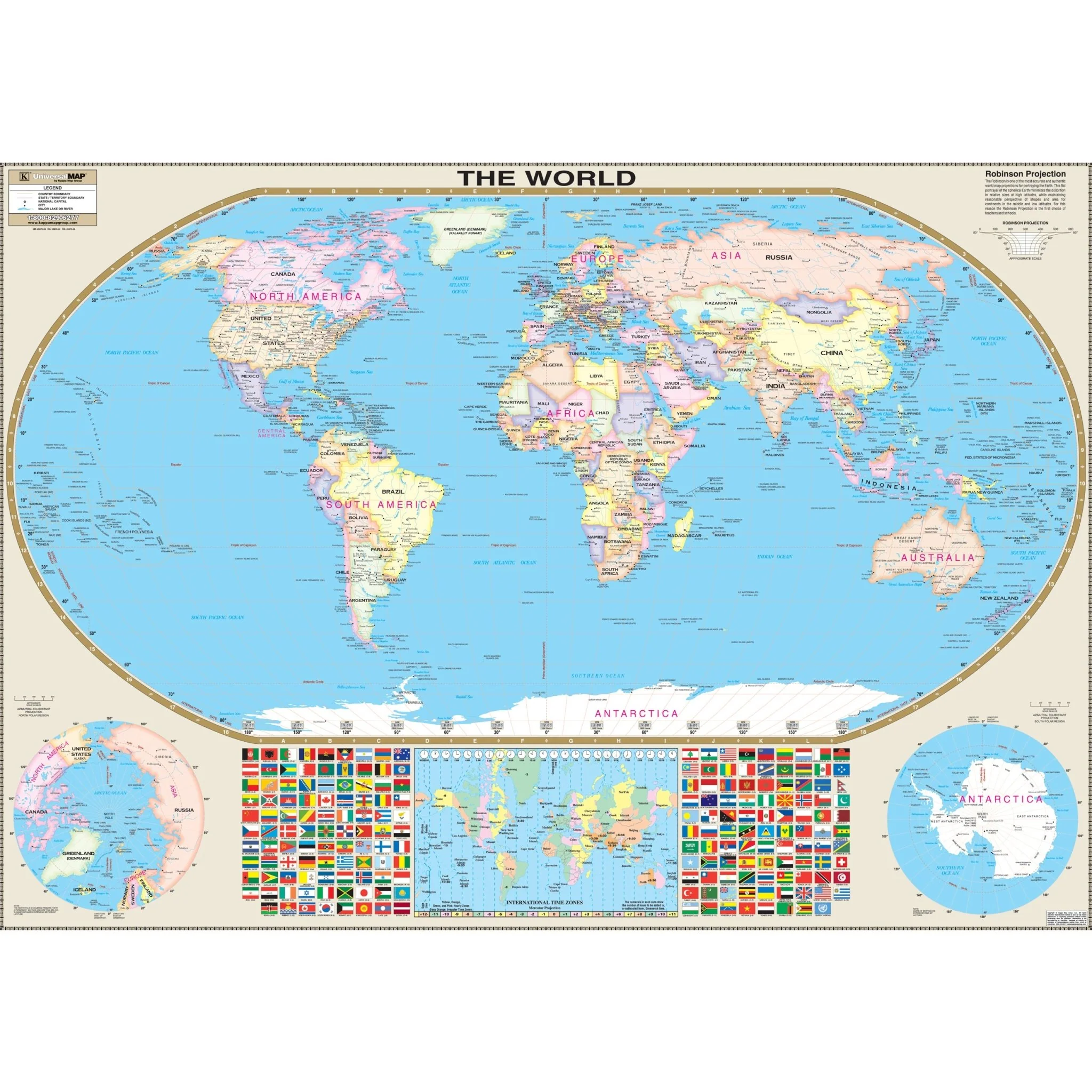
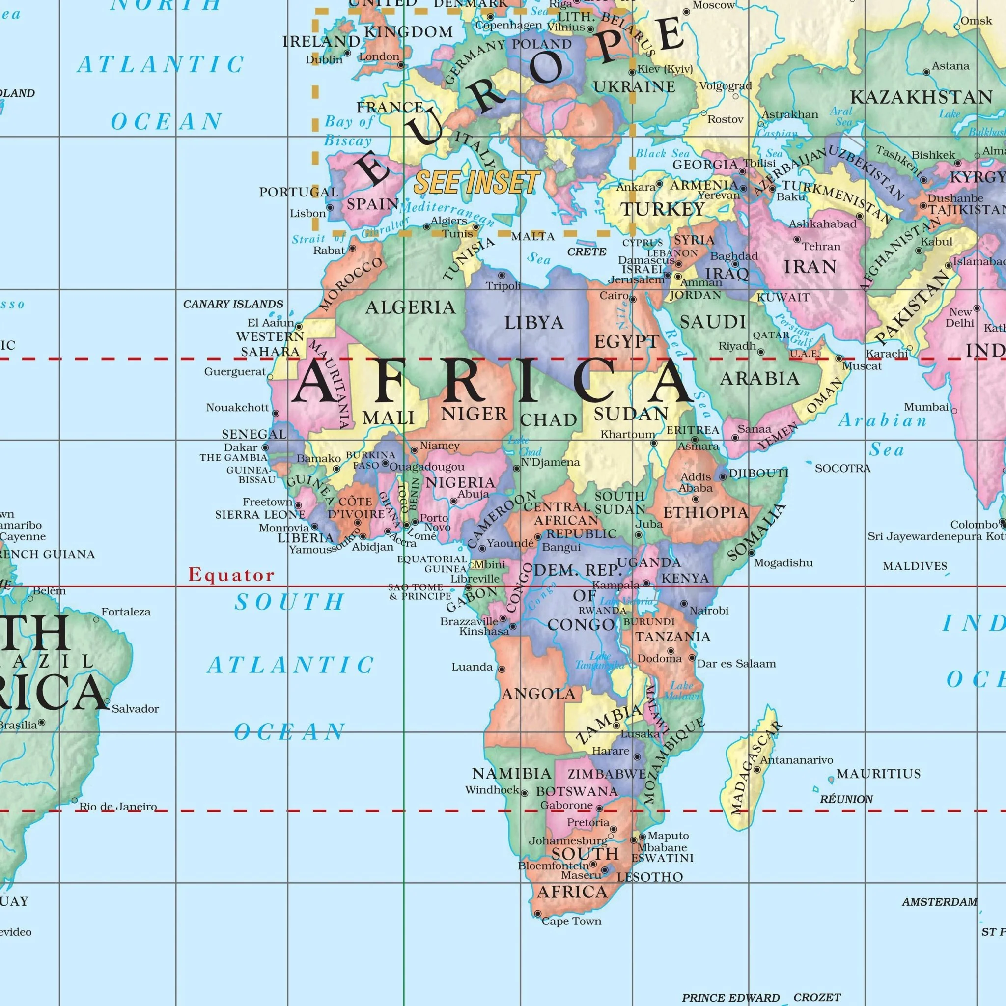
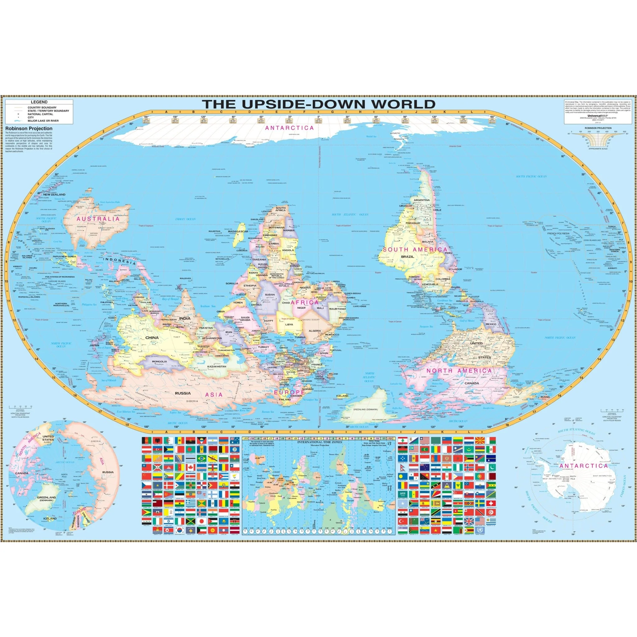
Challenge perceptions and invite curiosity with the World Upside-Down Wall Map from Kappa Map Group. This innovative map reverses the traditional north-up orientation, placing the southern hemisphere at the top, offering a fresh perspective on global geography.
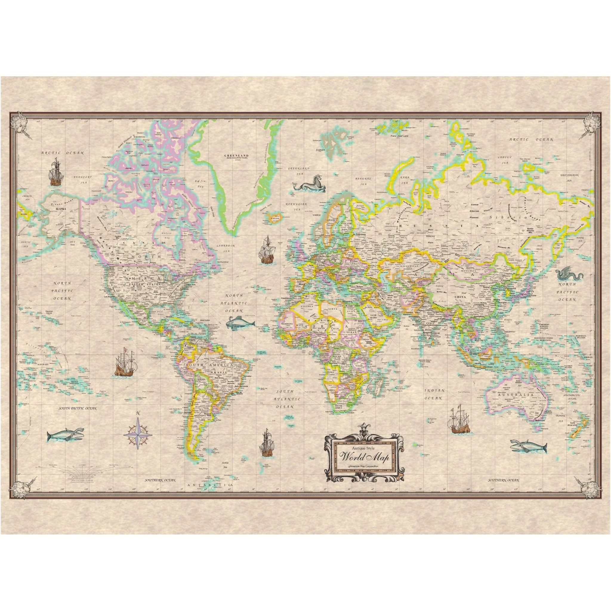
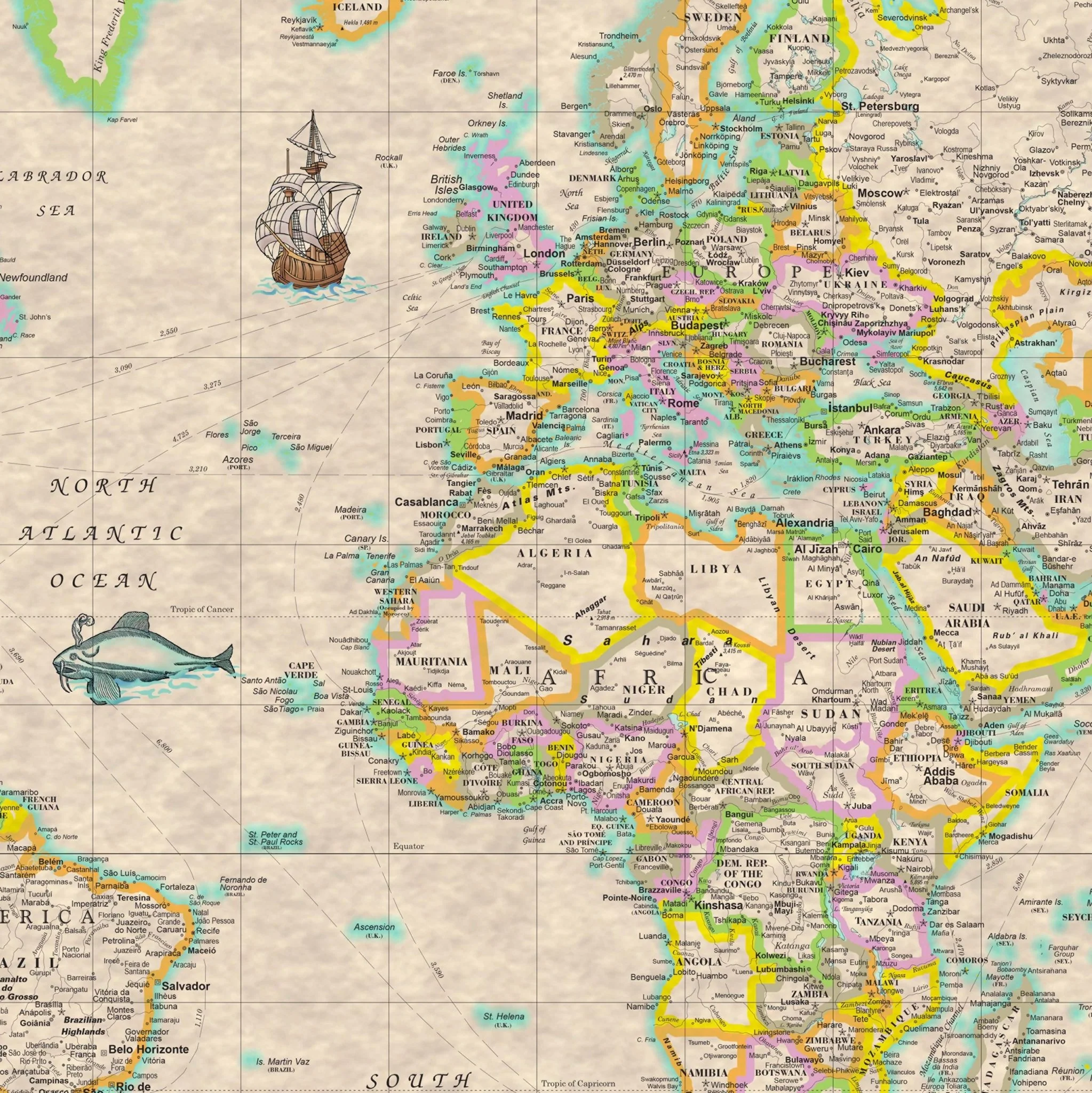
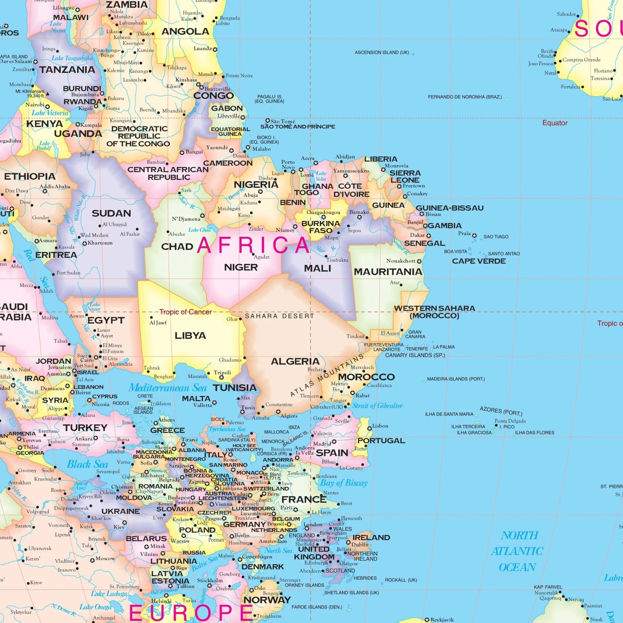
Key Features: - A unique south-up orientation that encourages viewers to re-examine their world view and invites discussion. - Bright, clear cartography with detailed political boundaries and vibrant color-coding for easy country identification. - The Robinson projection is used to provide a visually pleasing representation of the Earth's surface. - Insets that include additional upside-down maps of both poles, providing a complete polar perspective. - A comprehensive flag index displays the flags of the world, adding a colorful and educational edge to the map. - An informative legend and scale that aid in navigation and distance measurement.
This map is not only a powerful educational tool but also a conversation starter and a striking decorative piece. Ideal for classrooms, offices, or any space where a global outlook is embraced. Its upside-down view is a reminder that the perspective of the world is not fixed, and that there are many ways to look at the planet.
Size: 58" x 42"
Published: 2011
Product Information
Product Information
Shipping & Returns
Shipping & Returns
Description
Challenge perceptions and invite curiosity with the World Upside-Down Wall Map from Kappa Map Group. This innovative map reverses the traditional north-up orientation, placing the southern hemisphere at the top, offering a fresh perspective on global geography.
Key Features: - A unique south-up orientation that encourages viewers to re-examine their world view and invites discussion. - Bright, clear cartography with detailed political boundaries and vibrant color-coding for easy country identification. - The Robinson projection is used to provide a visually pleasing representation of the Earth's surface. - Insets that include additional upside-down maps of both poles, providing a complete polar perspective. - A comprehensive flag index displays the flags of the world, adding a colorful and educational edge to the map. - An informative legend and scale that aid in navigation and distance measurement.
This map is not only a powerful educational tool but also a conversation starter and a striking decorative piece. Ideal for classrooms, offices, or any space where a global outlook is embraced. Its upside-down view is a reminder that the perspective of the world is not fixed, and that there are many ways to look at the planet.
Size: 58" x 42"
Published: 2011