


Cedar Rapids, IA Wall Map
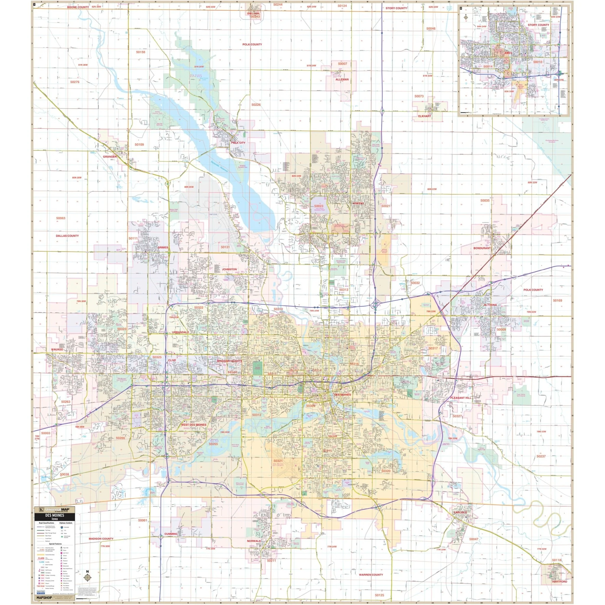
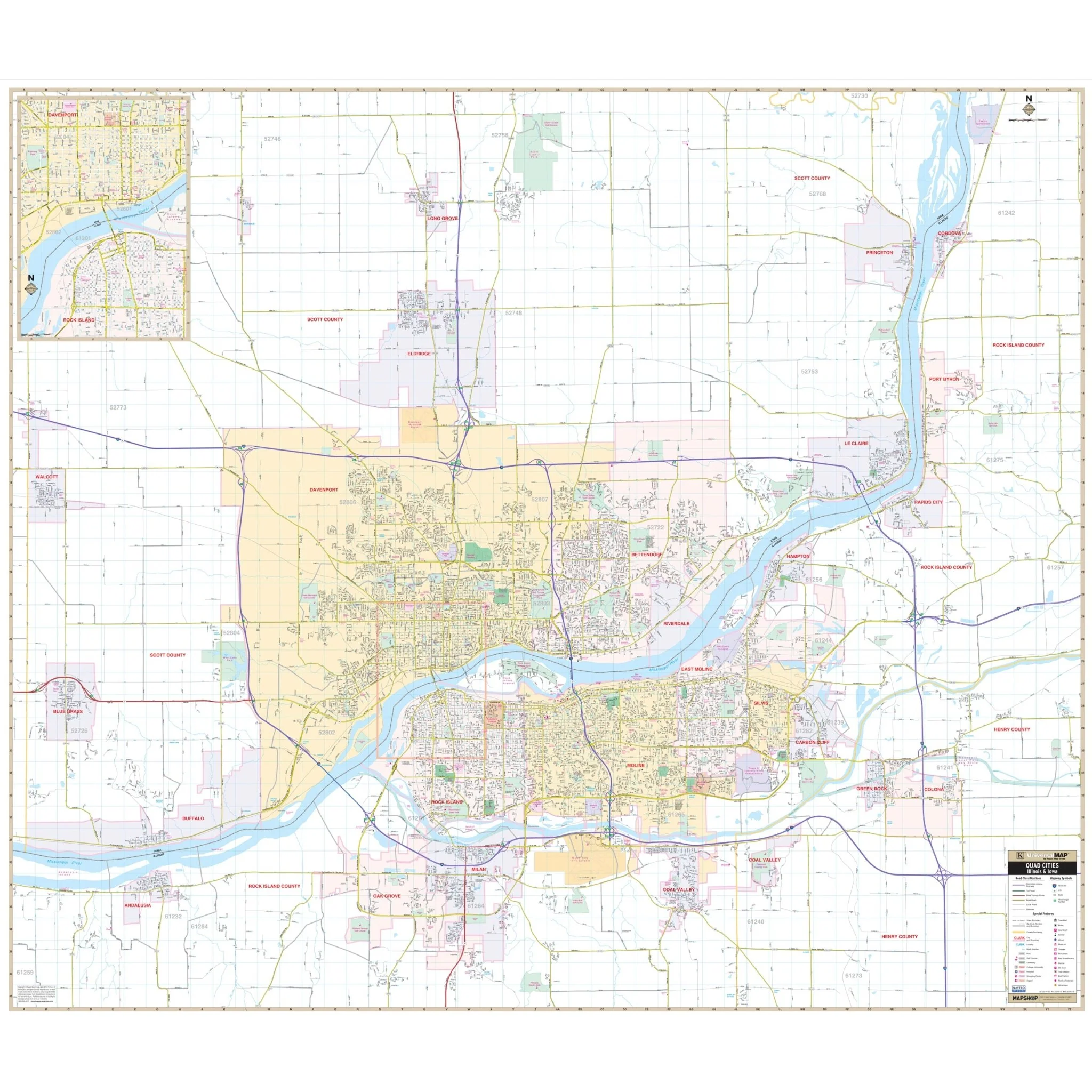
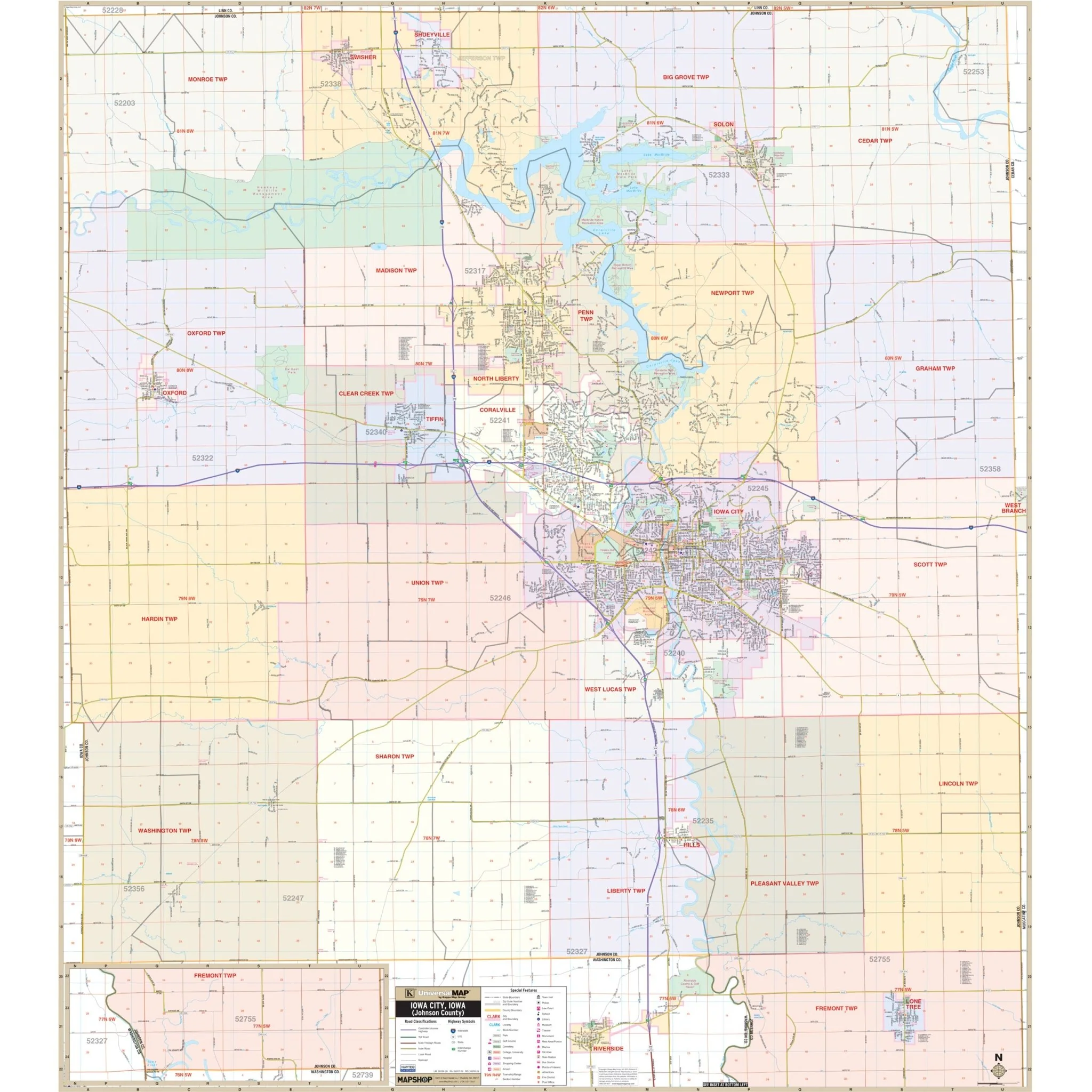
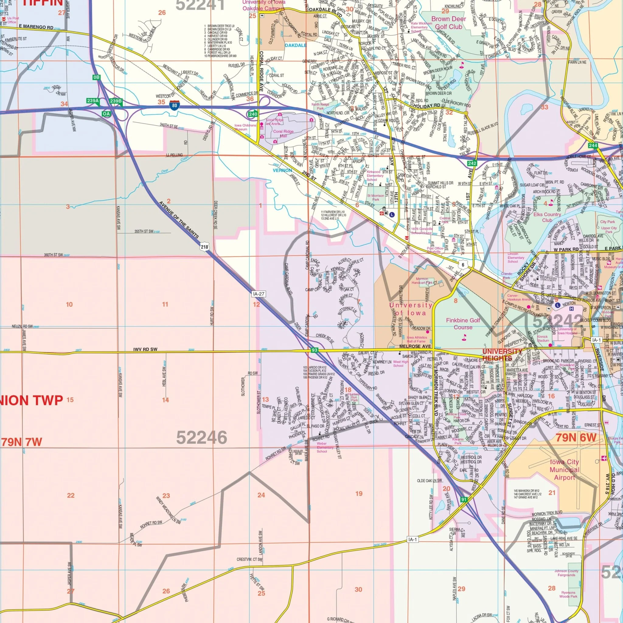
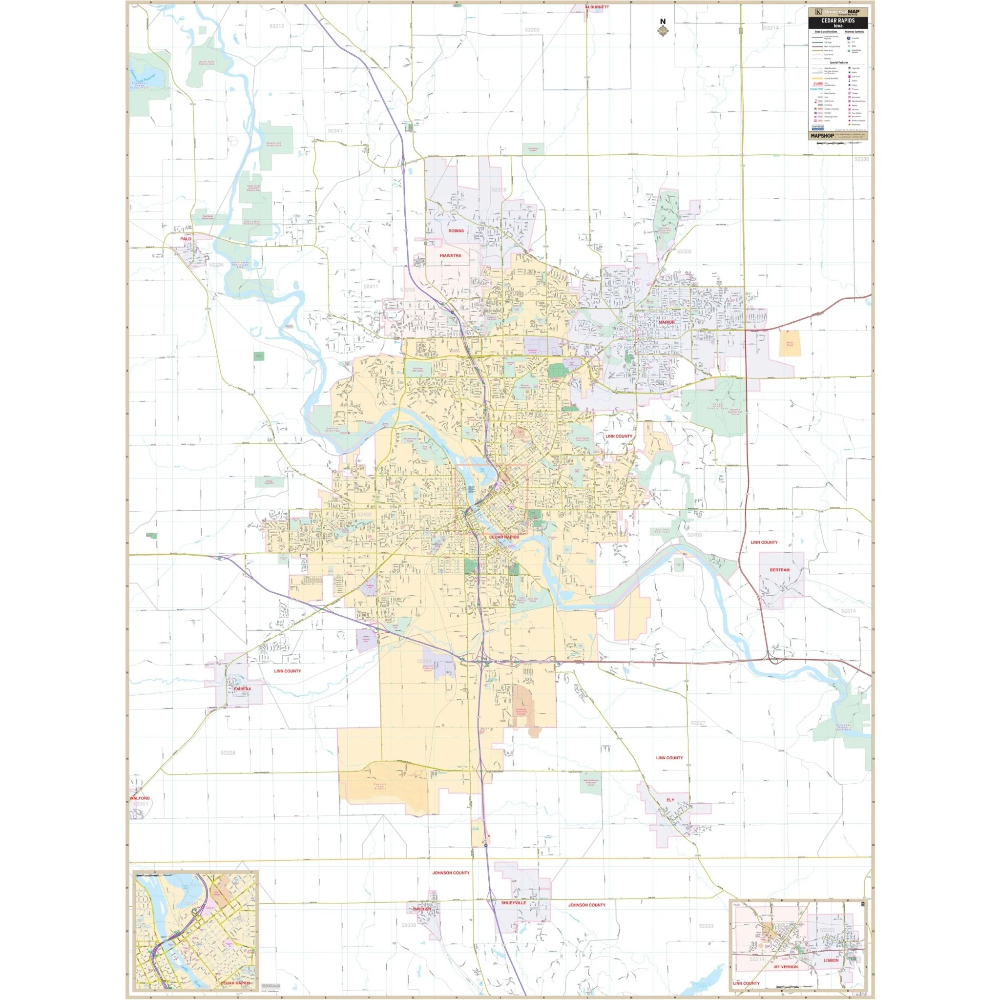
Explore the comprehensive Cedar Rapids, IA Wall Map and its surrounding areas, providing complete street-level detail for easy navigation. This map covers all of Cedar Rapids and its neighboring regions, offering extensive coverage that includes the following boundaries:
- North to Alburnett
- South to Shueyville and Swisher
- East to Bertram and Palisades Kepler State Park
- West to Palo, Fairfax, and Pleasant Creek State Park
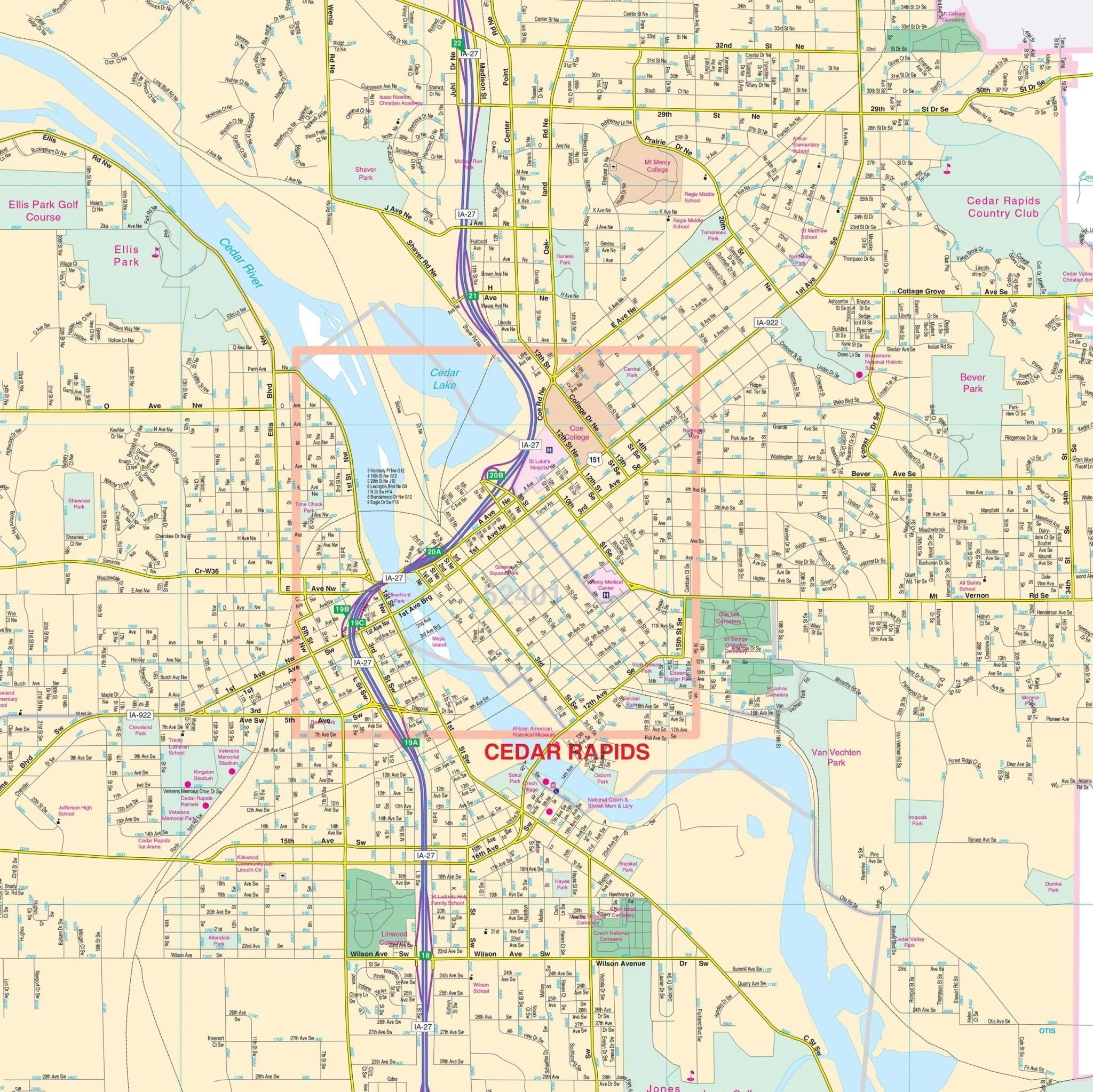
In addition to the main map of Cedar Rapids, this wall map also includes detailed inset maps of Mount Vernon, Lisbon, and Downtown Cedar Rapids for your convenience.
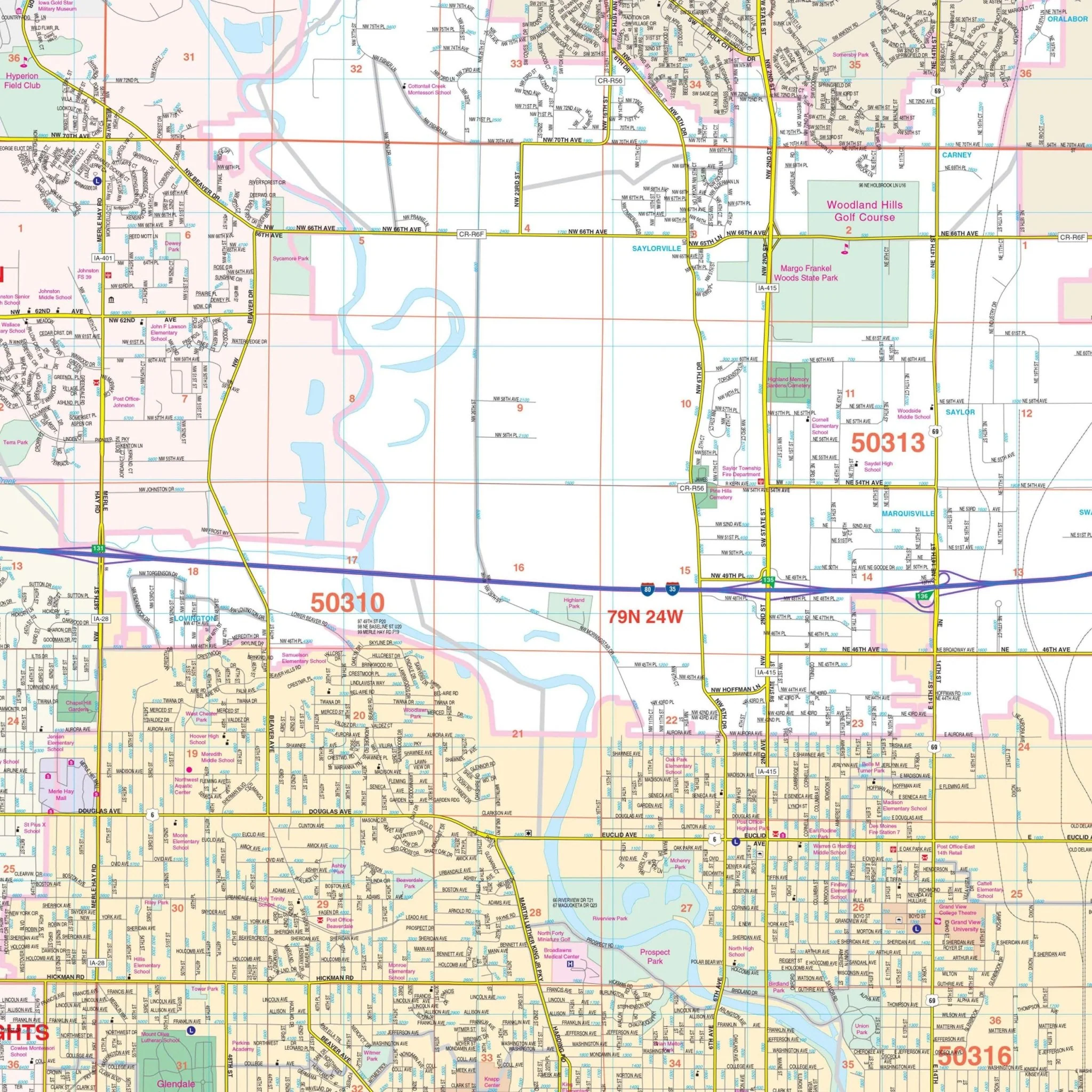
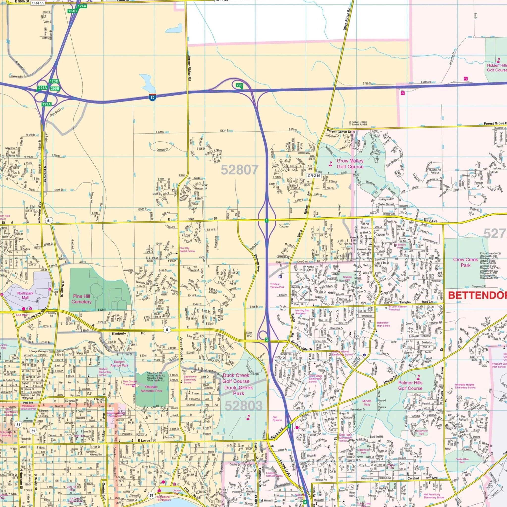
Discover essential details on this map, such as streets, airports, government buildings, post offices, cemeteries, fire and police stations, hospitals, shopping centers, educational institutions, railroads, water features, golf and country clubs, mileage circles, recreational parks, ZIP codes and boundaries, as well as block numbers to assist you in your local exploration.
Size: 54" x 71.5"
Published: 2011
Original: $149.99
-70%$149.99
$45.00Product Information
Product Information
Shipping & Returns
Shipping & Returns
Description
Explore the comprehensive Cedar Rapids, IA Wall Map and its surrounding areas, providing complete street-level detail for easy navigation. This map covers all of Cedar Rapids and its neighboring regions, offering extensive coverage that includes the following boundaries:
- North to Alburnett
- South to Shueyville and Swisher
- East to Bertram and Palisades Kepler State Park
- West to Palo, Fairfax, and Pleasant Creek State Park
In addition to the main map of Cedar Rapids, this wall map also includes detailed inset maps of Mount Vernon, Lisbon, and Downtown Cedar Rapids for your convenience.
Discover essential details on this map, such as streets, airports, government buildings, post offices, cemeteries, fire and police stations, hospitals, shopping centers, educational institutions, railroads, water features, golf and country clubs, mileage circles, recreational parks, ZIP codes and boundaries, as well as block numbers to assist you in your local exploration.
Size: 54" x 71.5"
Published: 2011