


Iowa State Wall Map
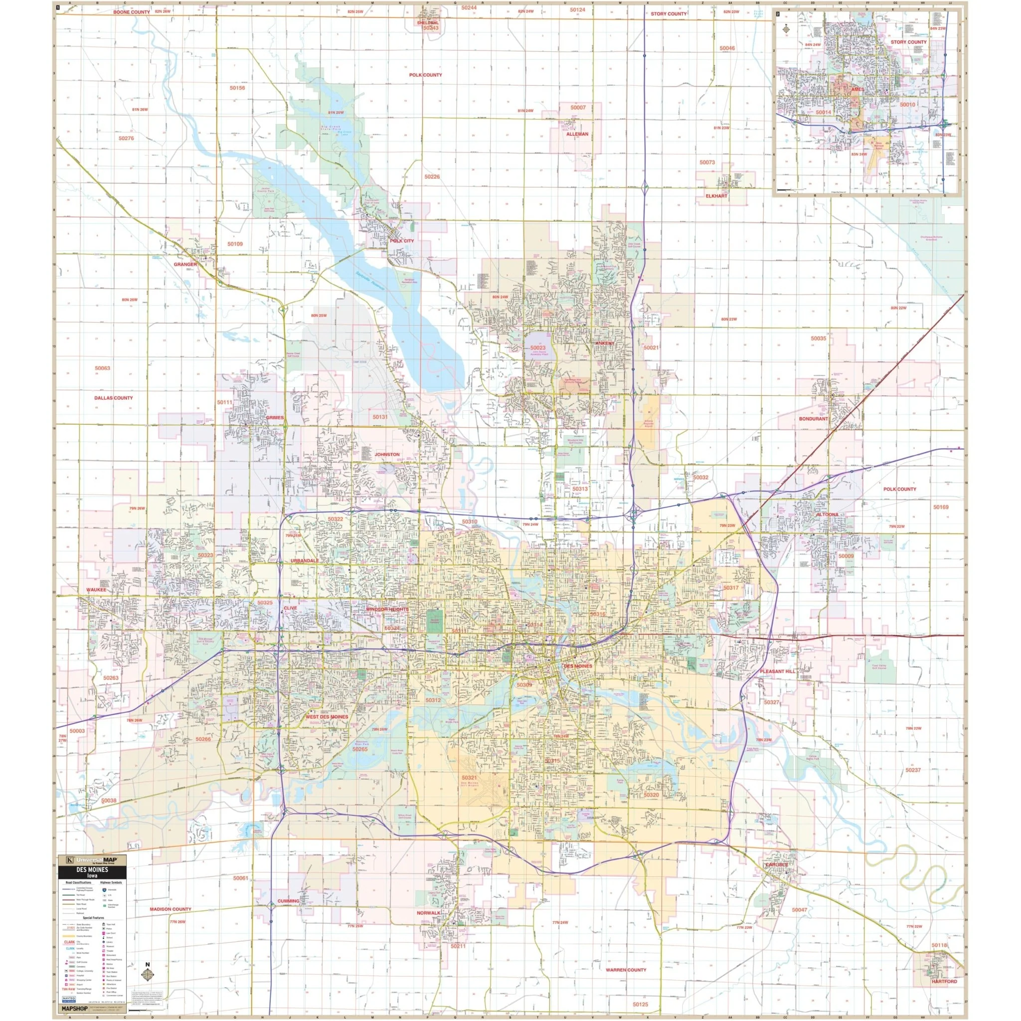
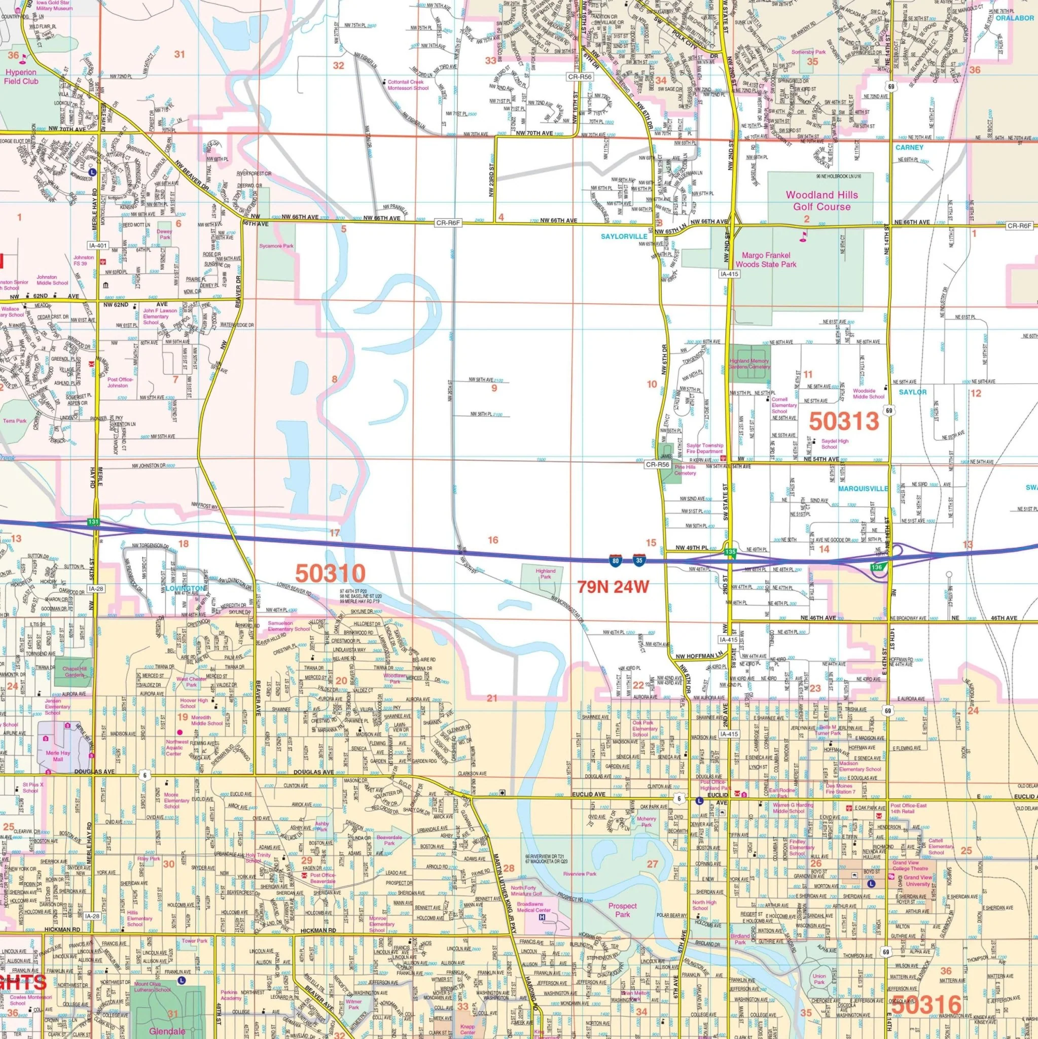
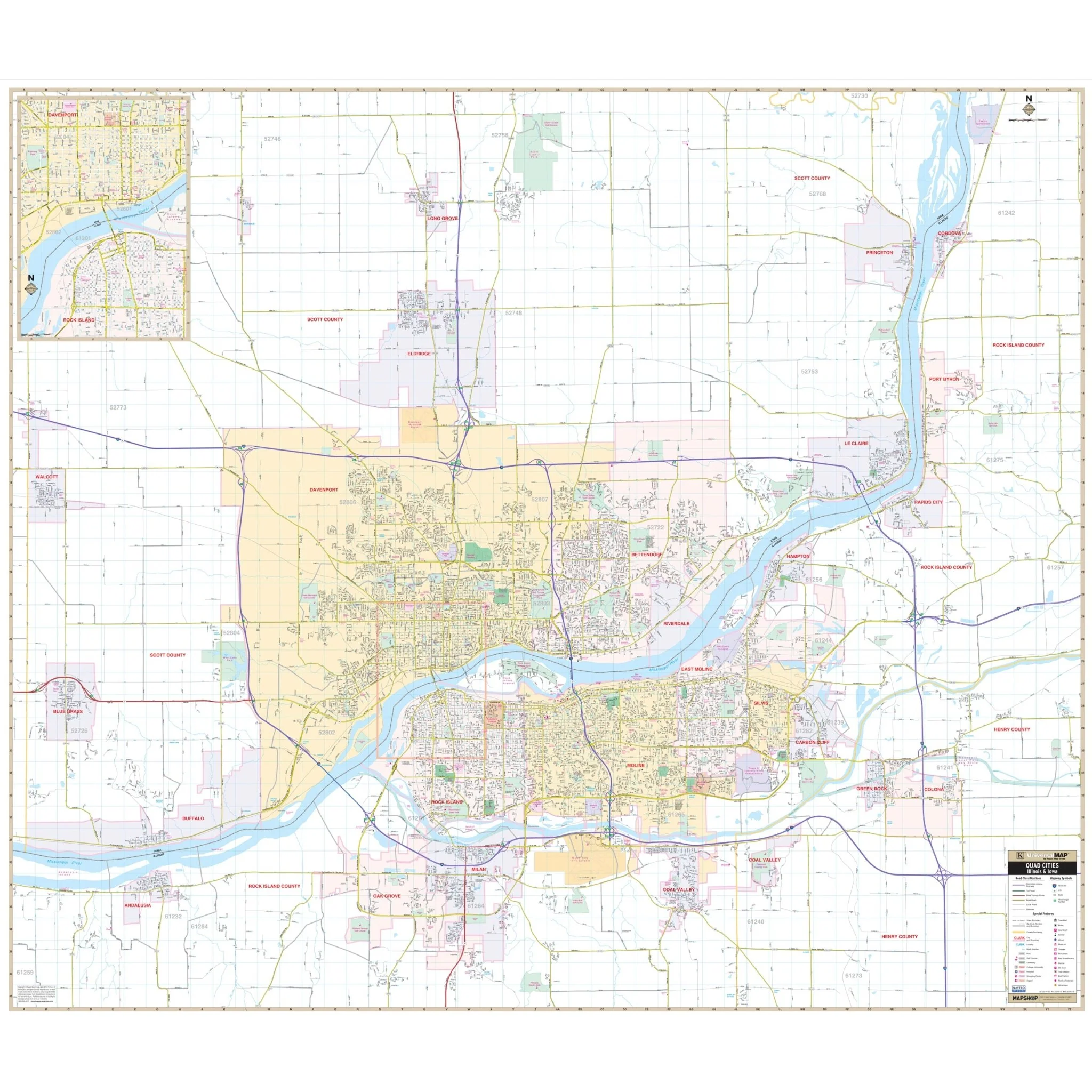
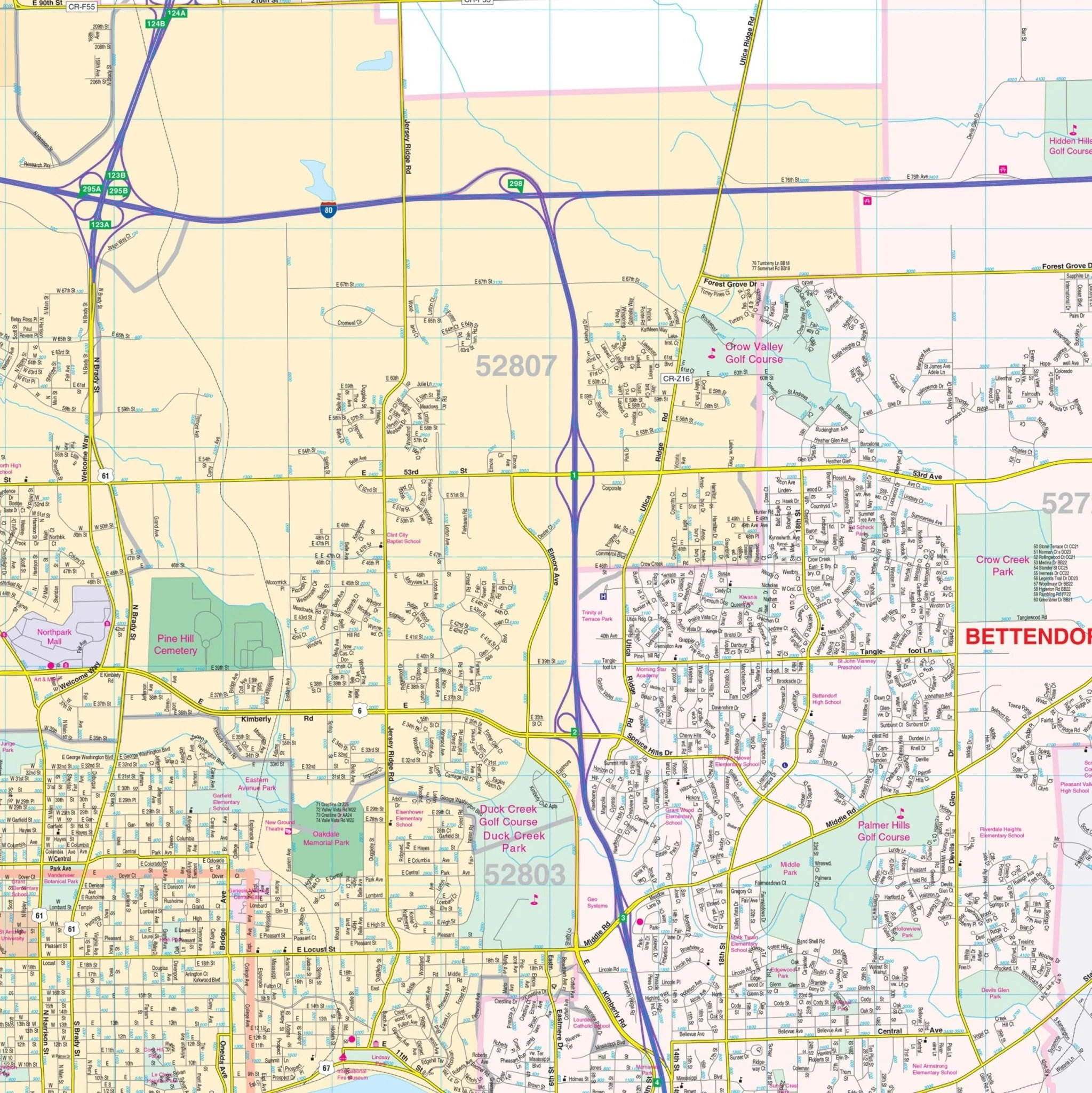
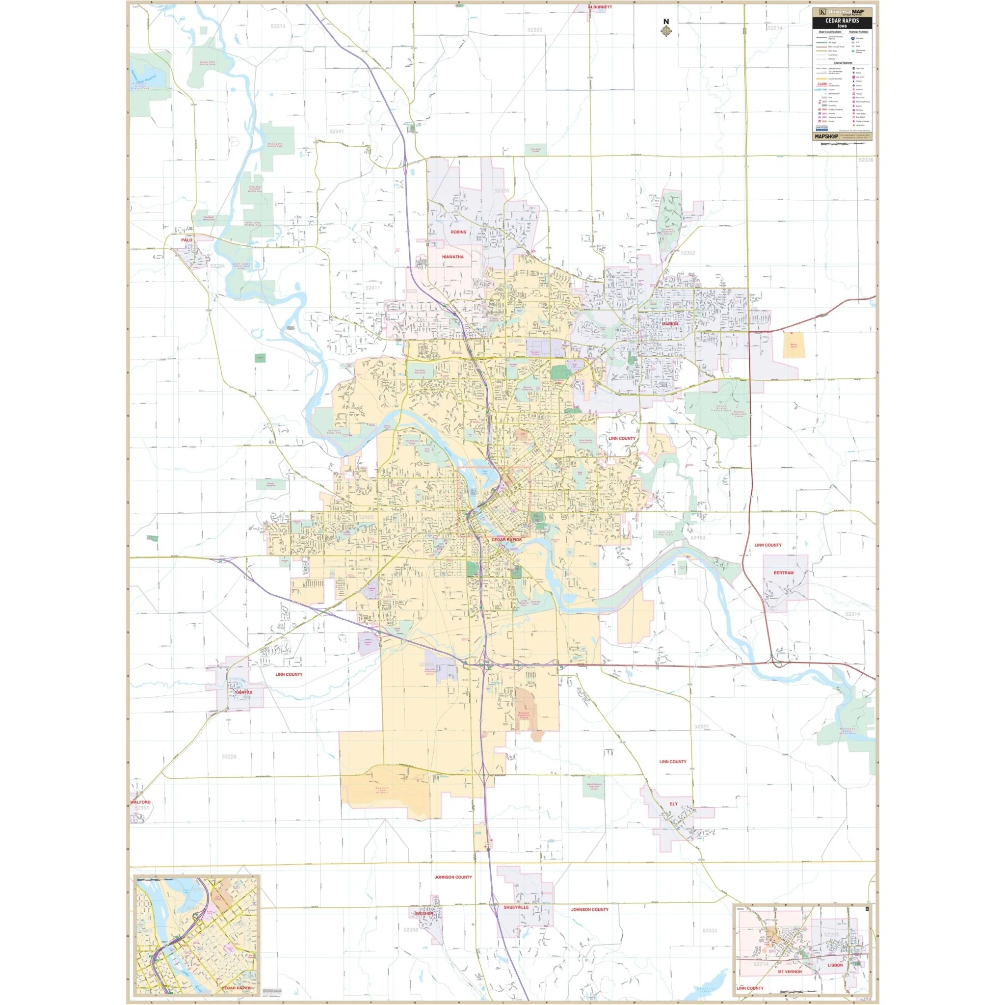
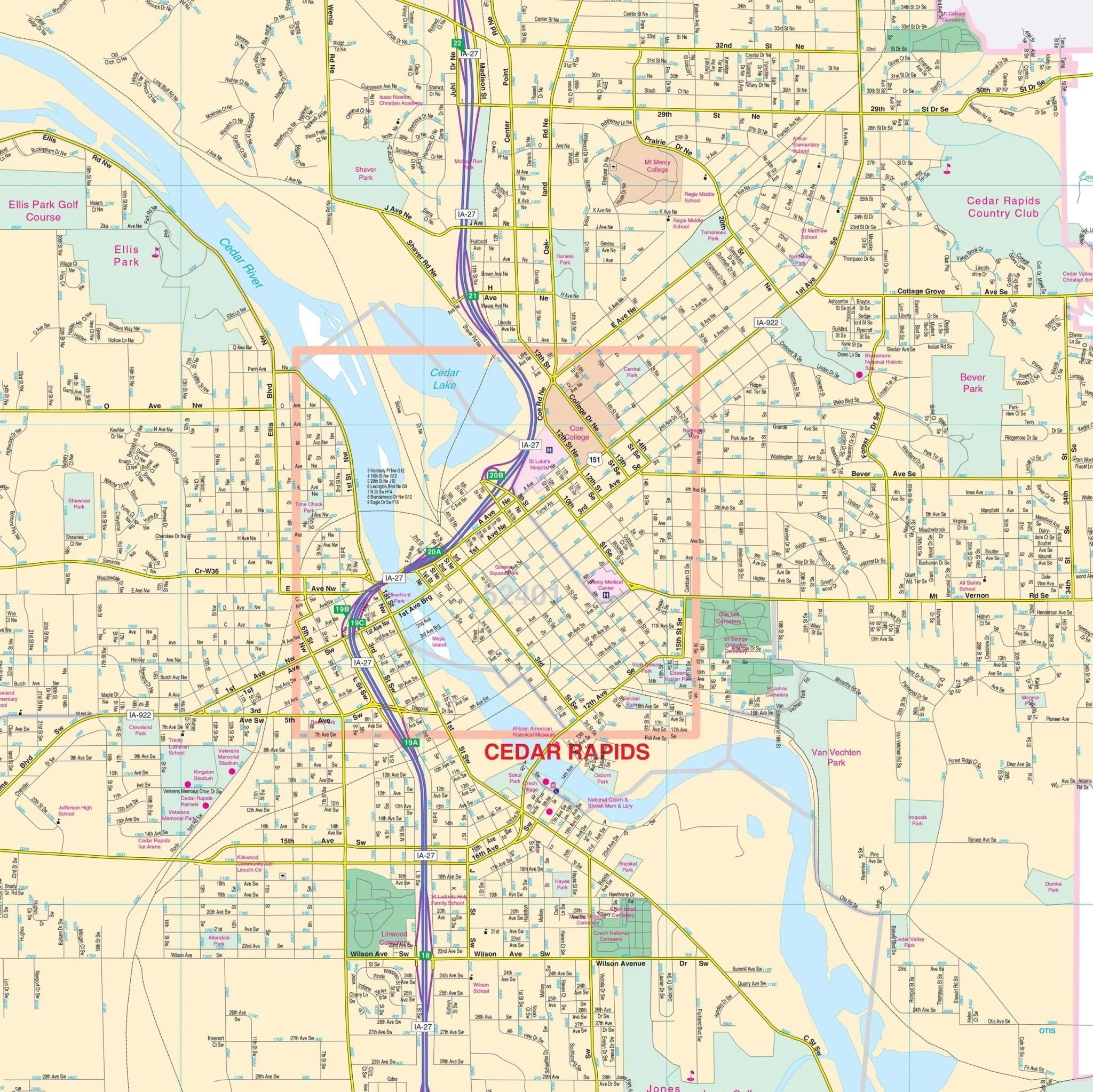
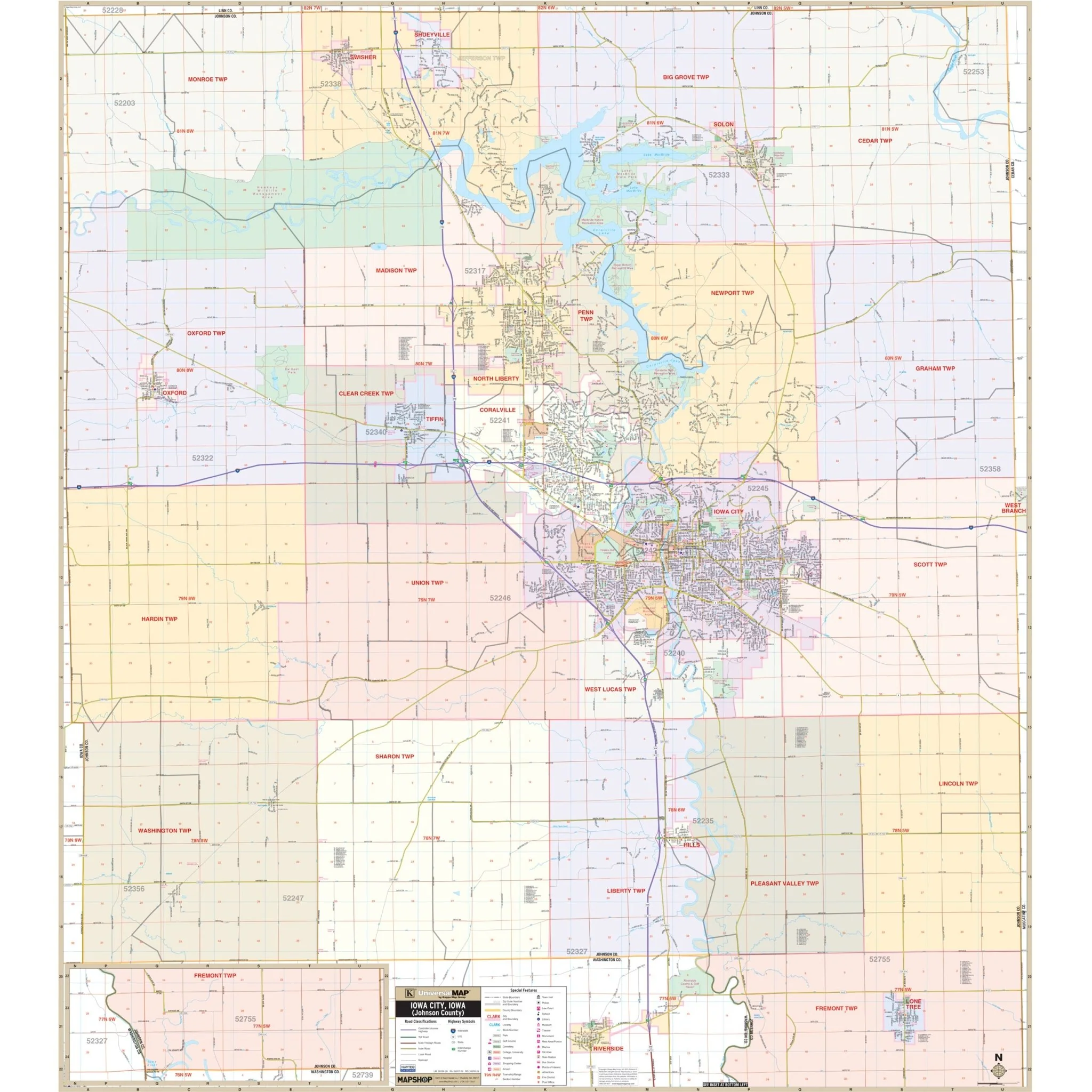
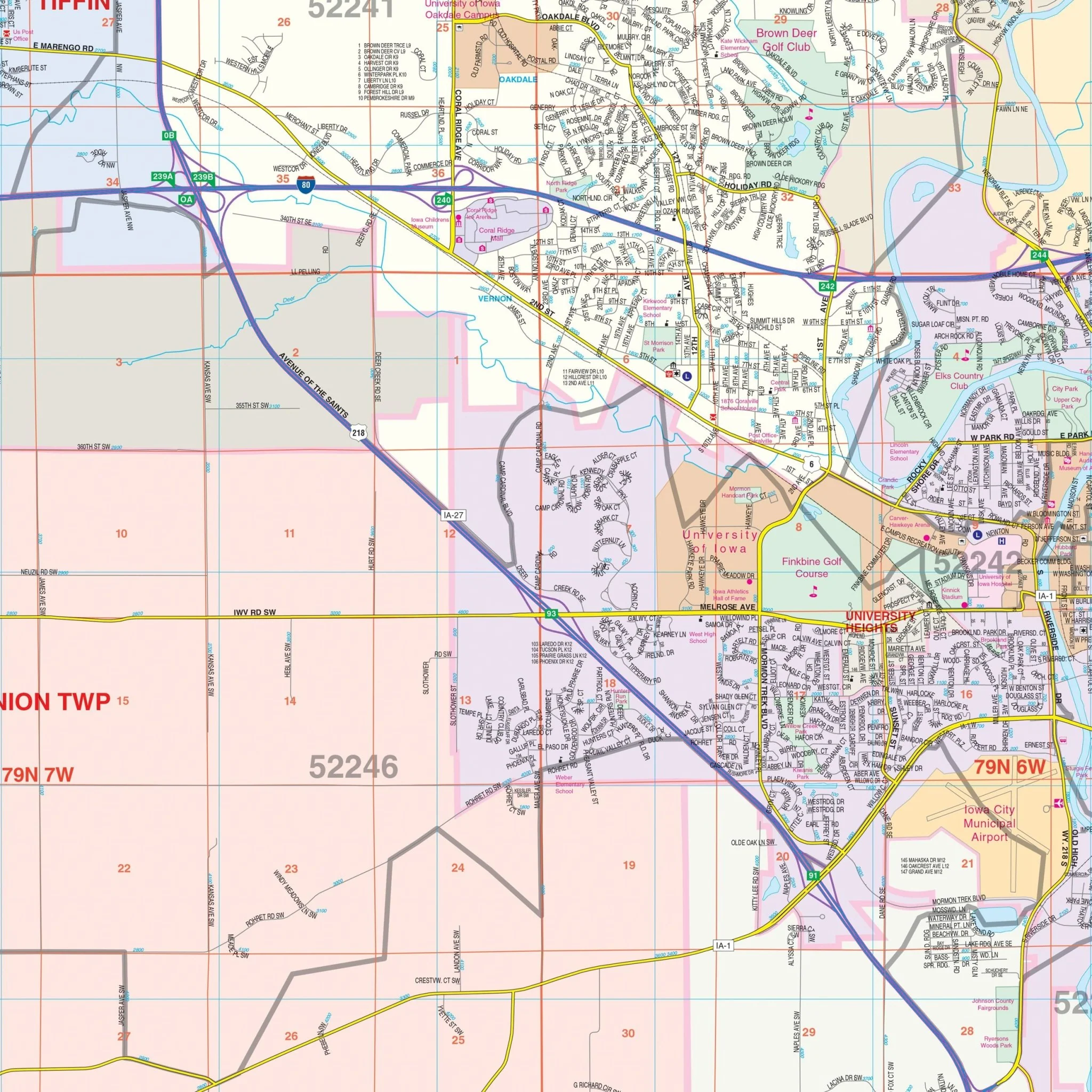
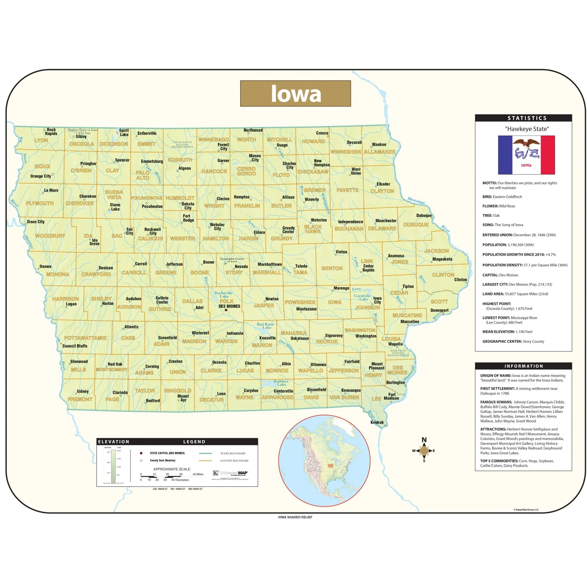
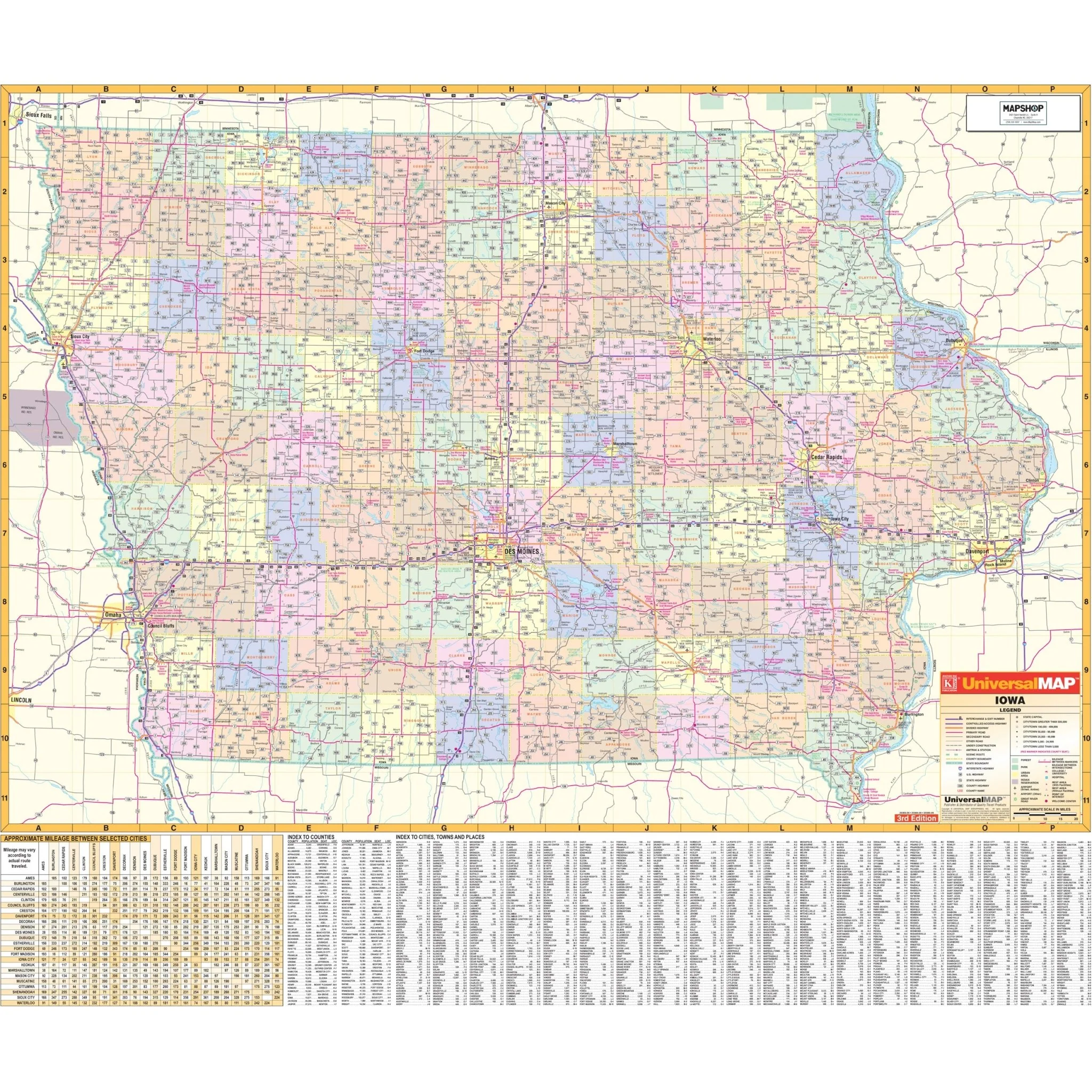
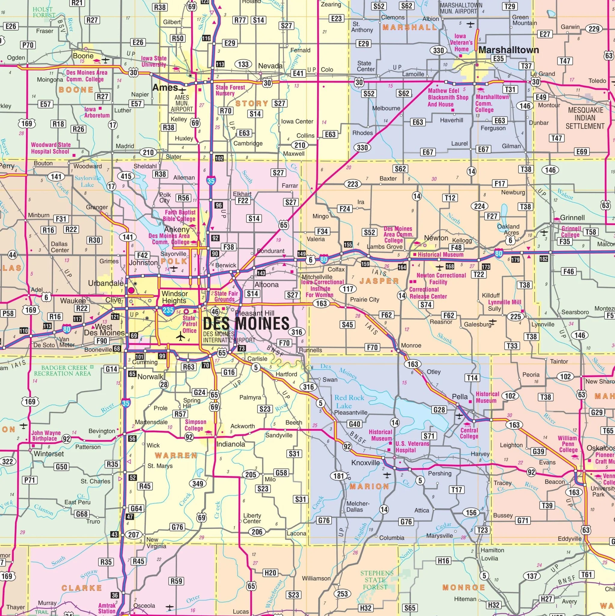
The Iowa State Wall Map, presented by Kappa Map Group, is an extensive cartographic resource that offers a detailed view of the state. This map features color-coded counties and includes a useful mileage chart for calculating distances between major cities. It comprehensively covers all state and federal highways, major waterways, state universities, military installations, major airports, as well as state parks and wildlife areas. Additionally, it provides a clear depiction of cities, towns, and various points of interest throughout Iowa. Cities and counties are indexed on the map’s surface for easy reference. Designed for a wide range of applications, this map is an essential tool for anyone needing an in-depth geographical understanding of Iowa.
Size: 62" x 54"
Published: 2005
Original: $139.99
-70%$139.99
$42.00Product Information
Product Information
Shipping & Returns
Shipping & Returns
Description
The Iowa State Wall Map, presented by Kappa Map Group, is an extensive cartographic resource that offers a detailed view of the state. This map features color-coded counties and includes a useful mileage chart for calculating distances between major cities. It comprehensively covers all state and federal highways, major waterways, state universities, military installations, major airports, as well as state parks and wildlife areas. Additionally, it provides a clear depiction of cities, towns, and various points of interest throughout Iowa. Cities and counties are indexed on the map’s surface for easy reference. Designed for a wide range of applications, this map is an essential tool for anyone needing an in-depth geographical understanding of Iowa.
Size: 62" x 54"
Published: 2005