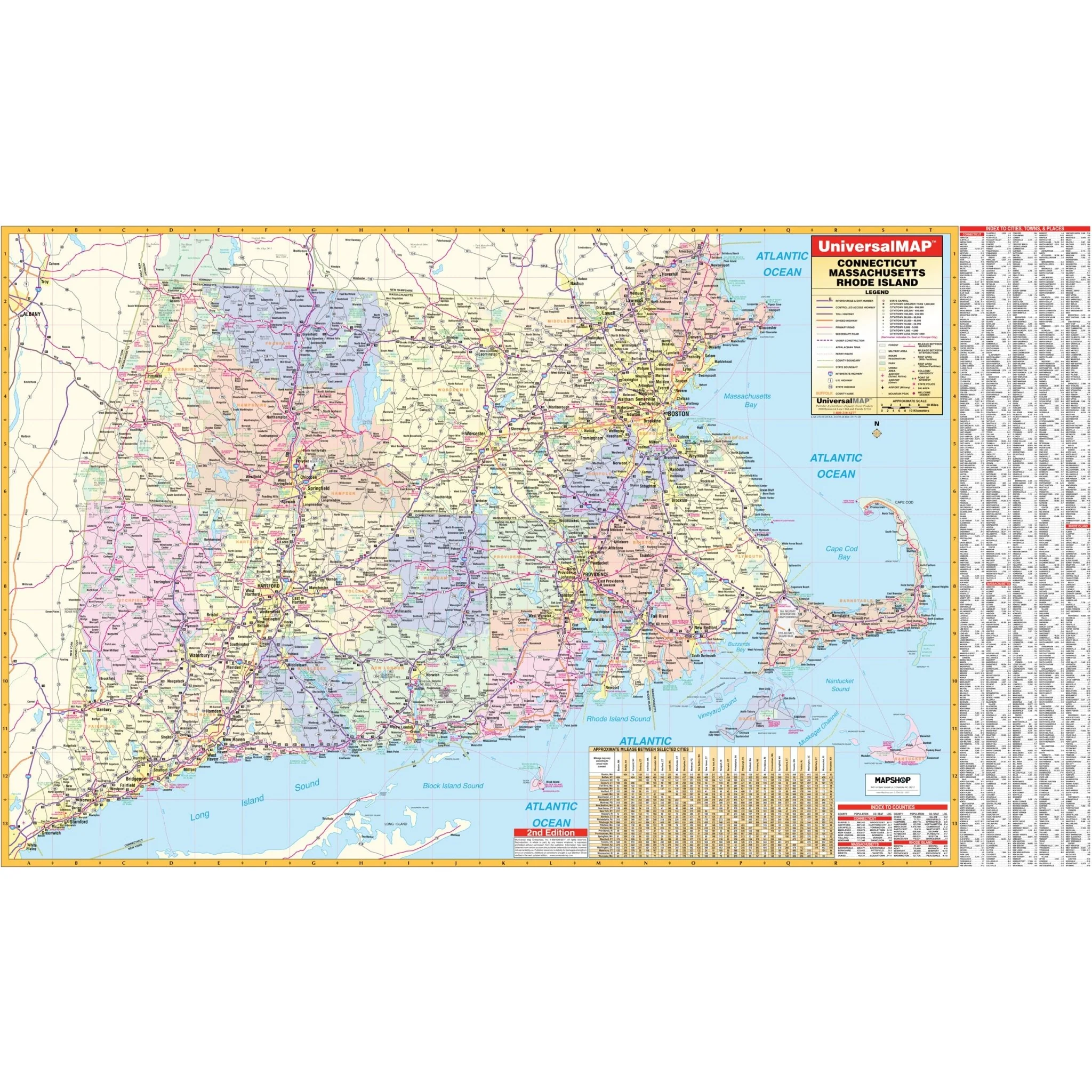


Connecticut, Rhode Island & Massachusetts Regional Wall Map
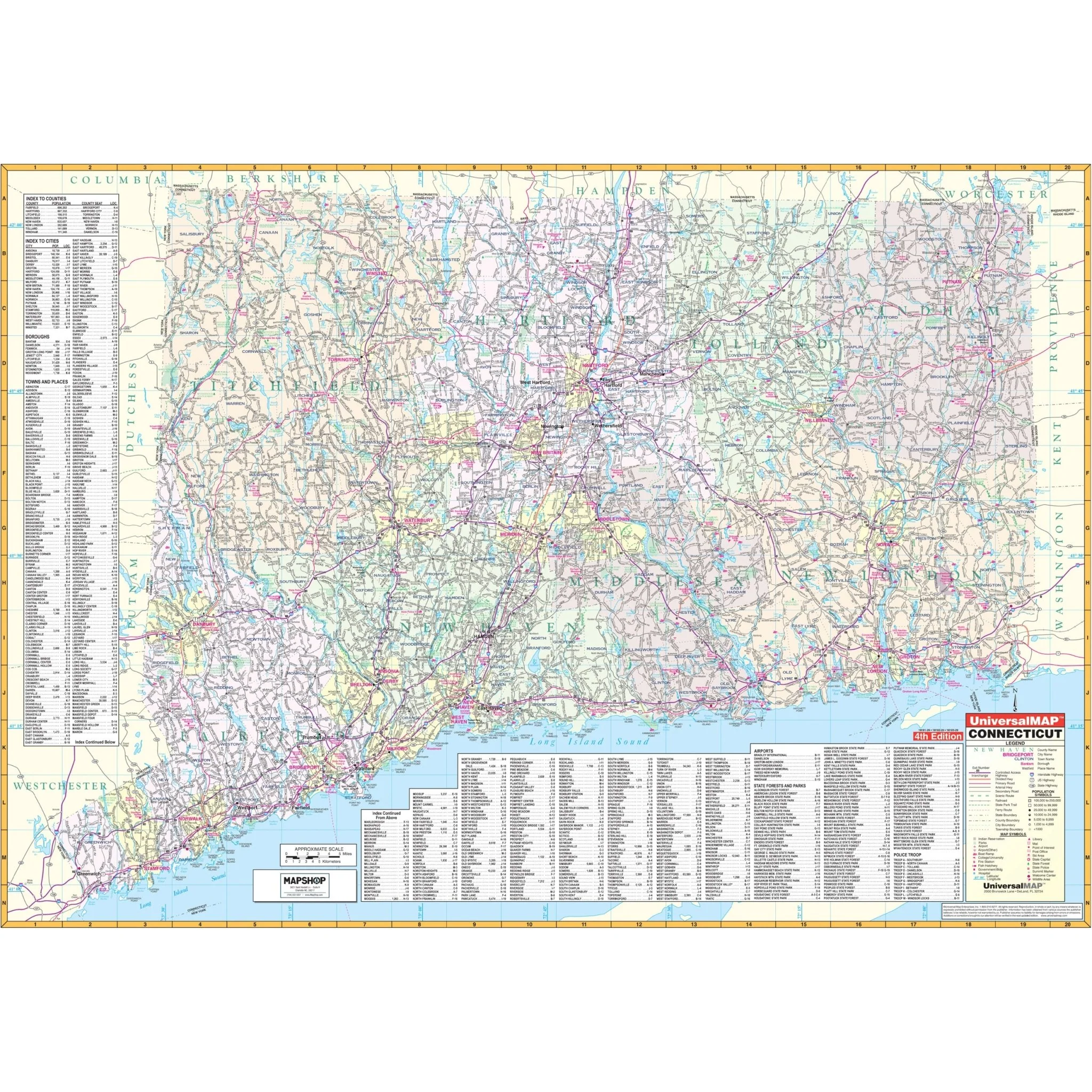
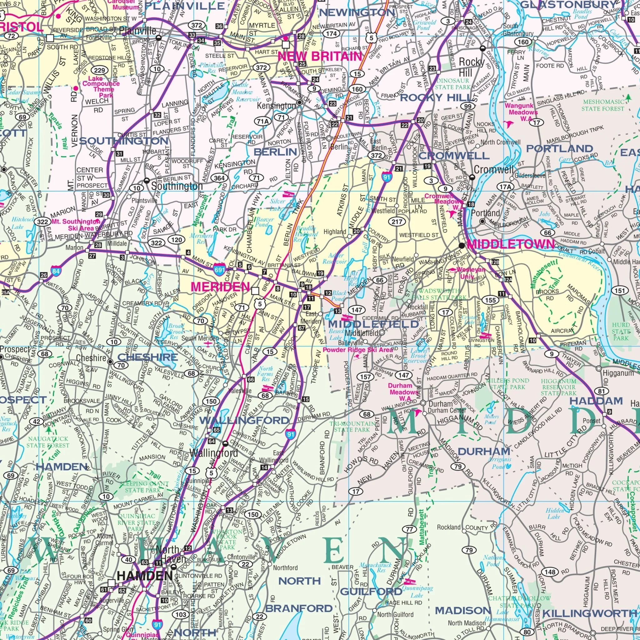
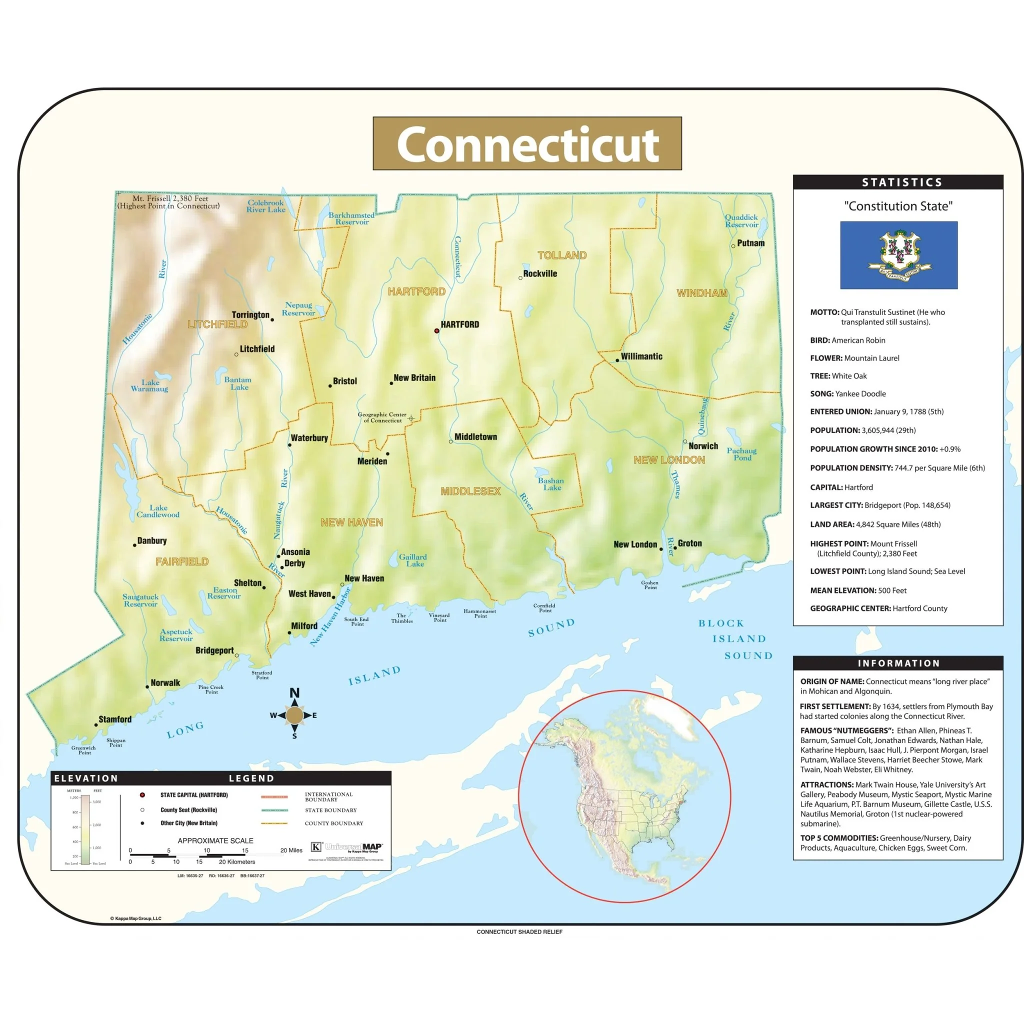
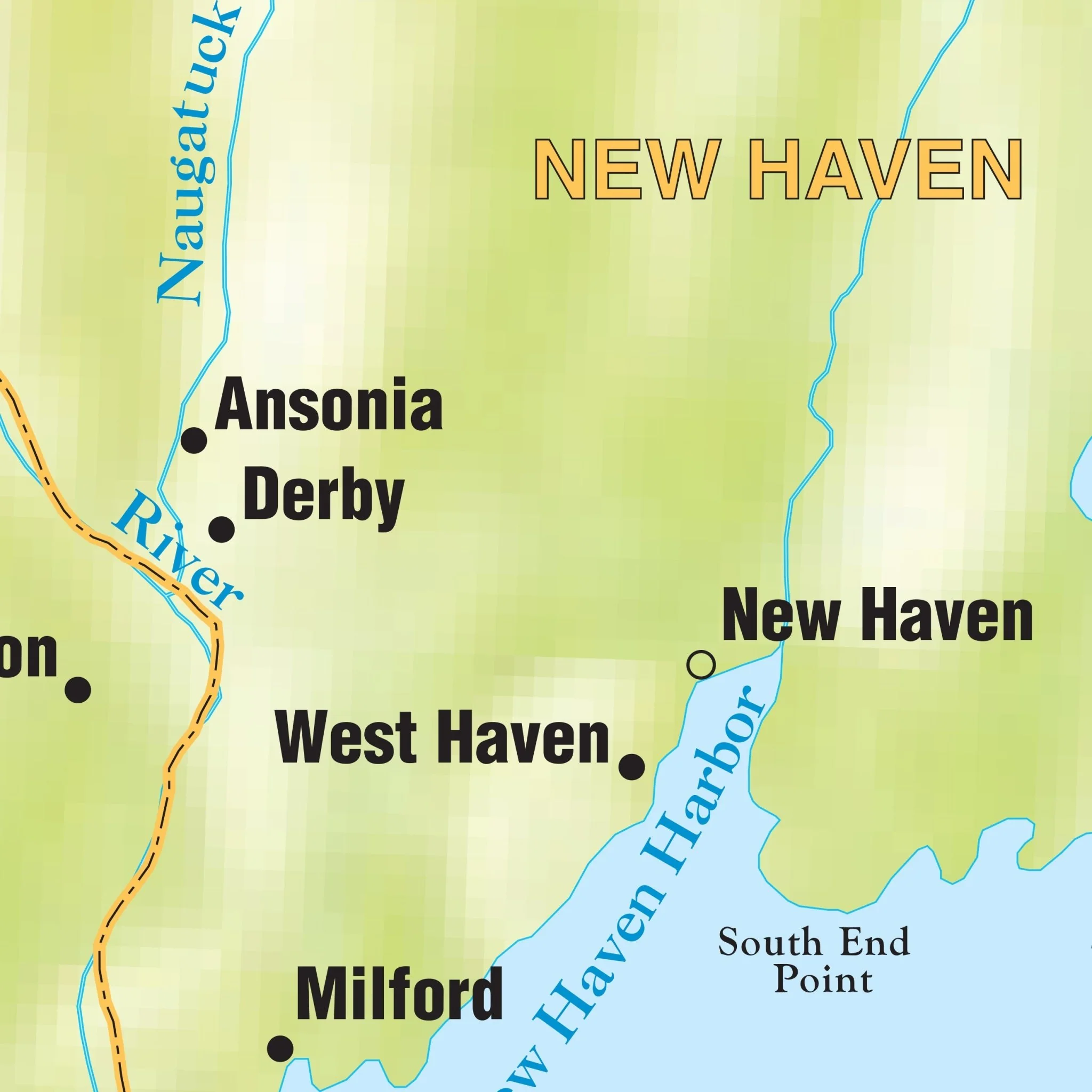
The Connecticut-Rhode Island-Massachusetts Tri-state Area Wall Map is published by Kappa Map Group. Indexing appears on the face of the map. Data, details, and information include all state and federal highways, military installations, major airports, state parks, cities and towns, state universities, wild life areas, and points of interest.
The map covers the following areas:
- Connecticut
- Rhode Island
- Massachusetts
Size: 66" x 39"
Published: 2006
Original: $109.99
-70%$109.99
$33.00Product Information
Product Information
Shipping & Returns
Shipping & Returns
Description
The Connecticut-Rhode Island-Massachusetts Tri-state Area Wall Map is published by Kappa Map Group. Indexing appears on the face of the map. Data, details, and information include all state and federal highways, military installations, major airports, state parks, cities and towns, state universities, wild life areas, and points of interest.
The map covers the following areas:
- Connecticut
- Rhode Island
- Massachusetts
Size: 66" x 39"
Published: 2006