


Connecticut State Wall Map
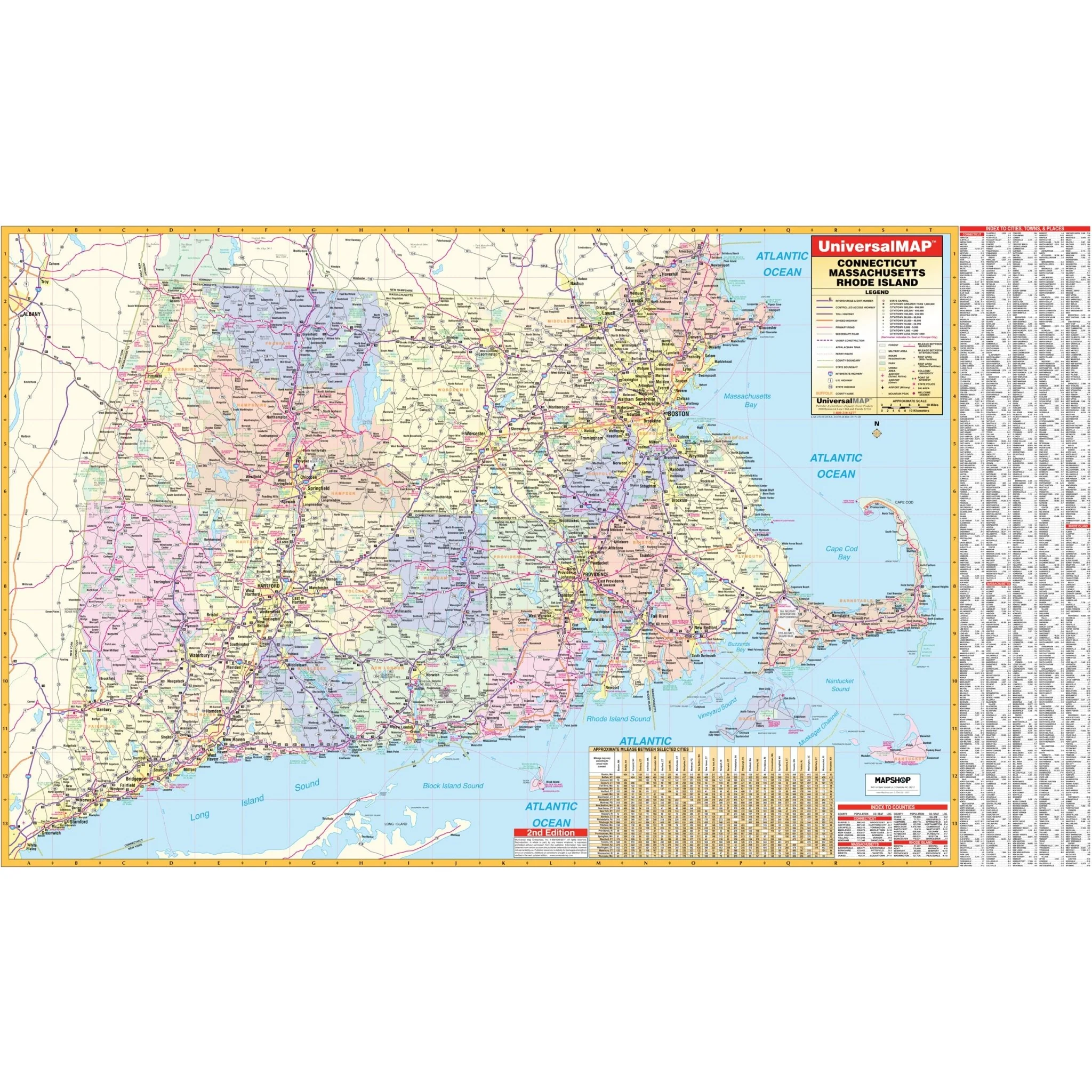
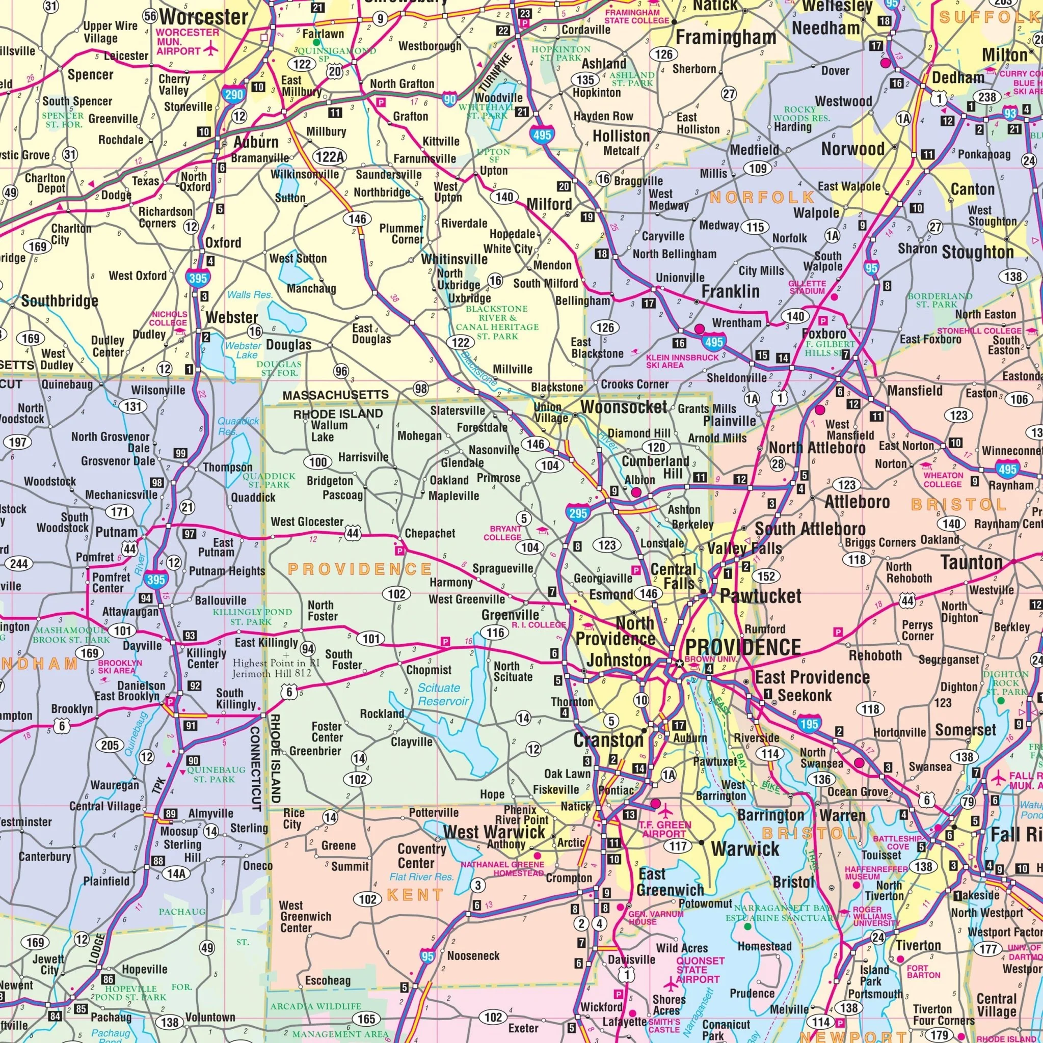
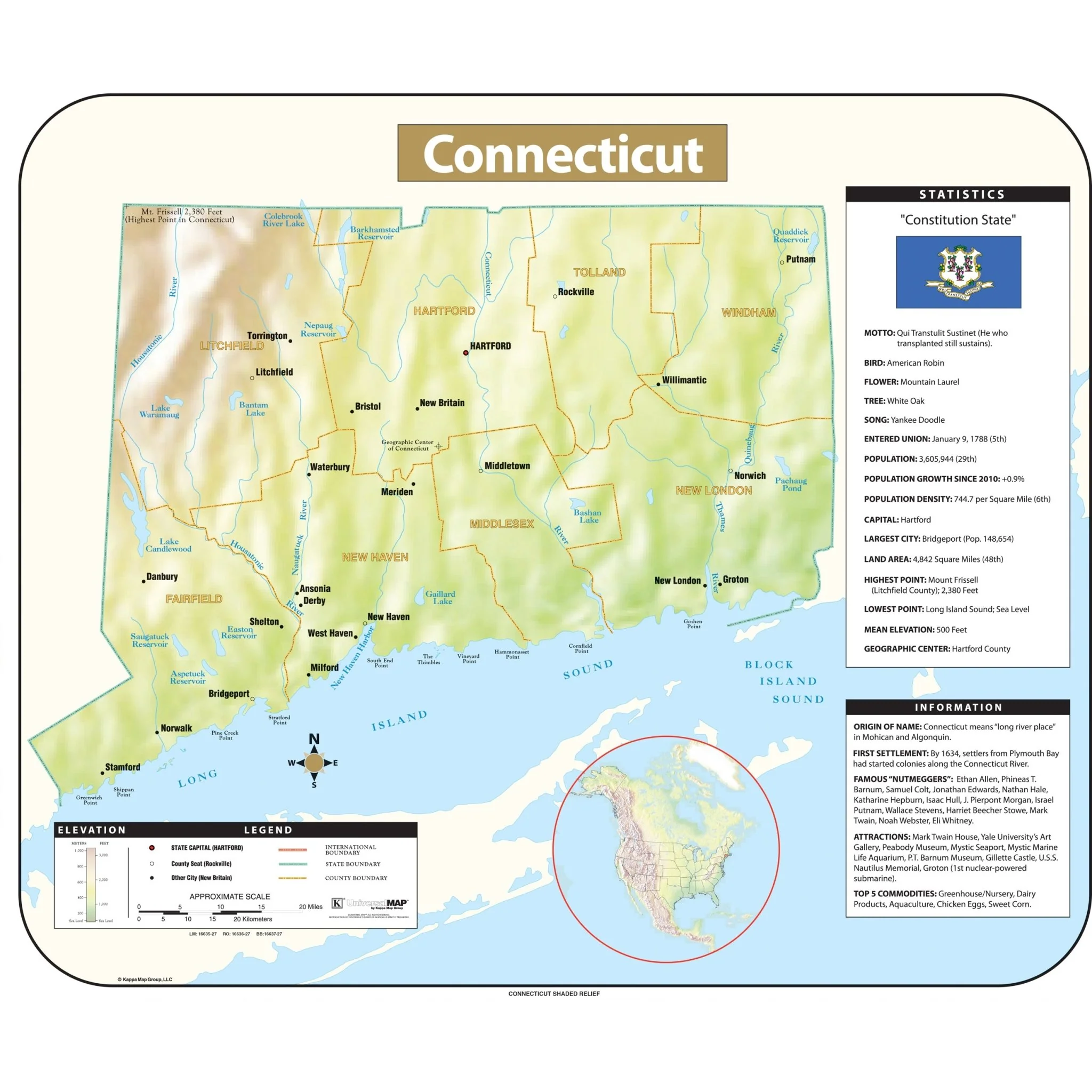
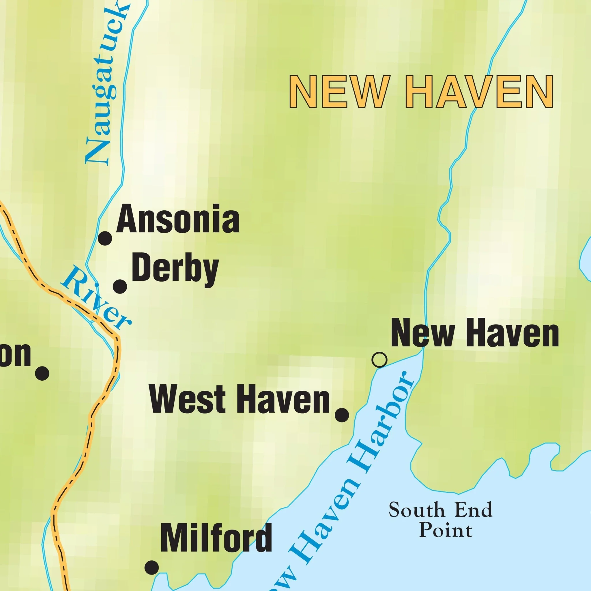
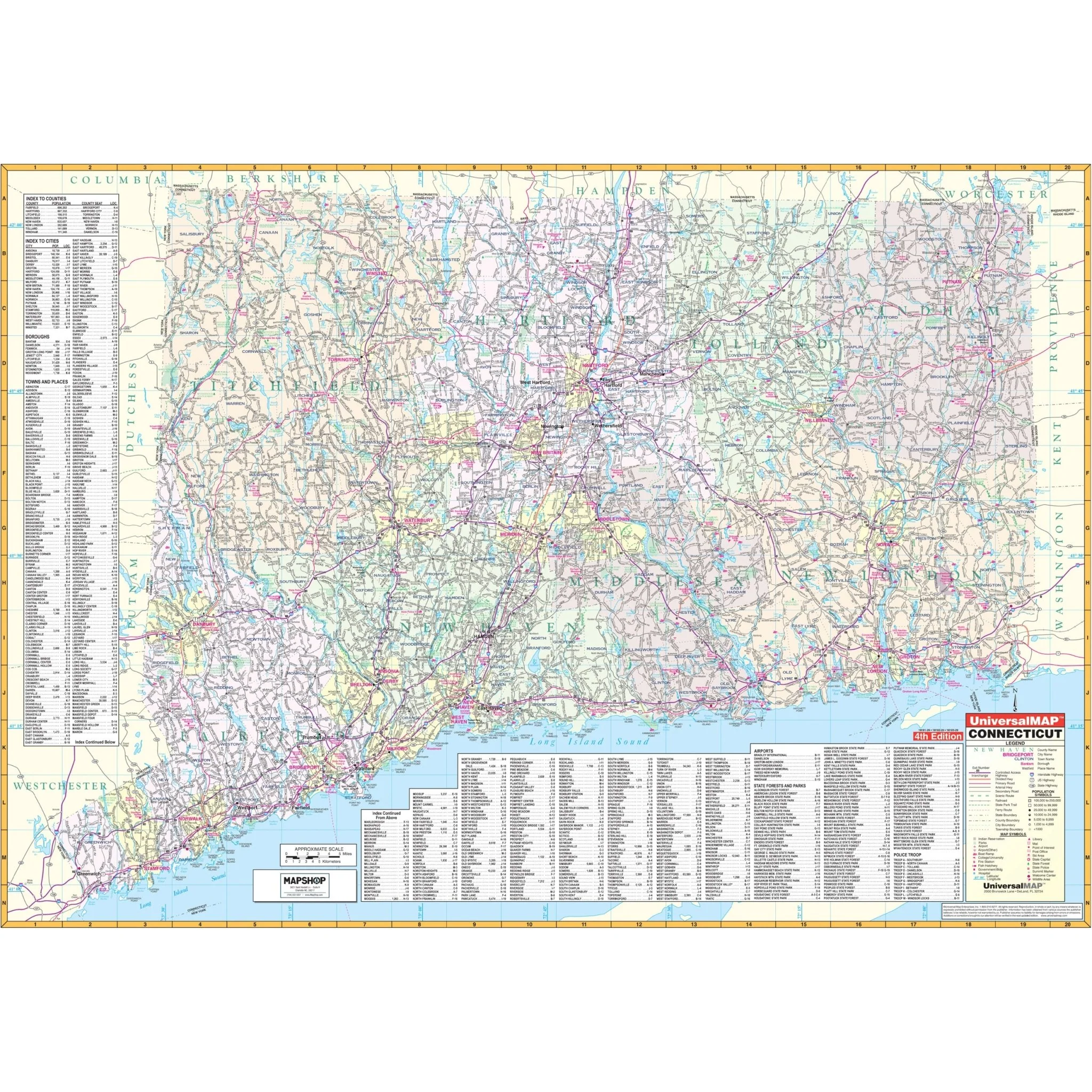
The Connecticut State Wall Map by Kappa Map Group offers a comprehensive geographical resource. It includes city and county indices on the map's face, along with color-coded counties for easy reference.
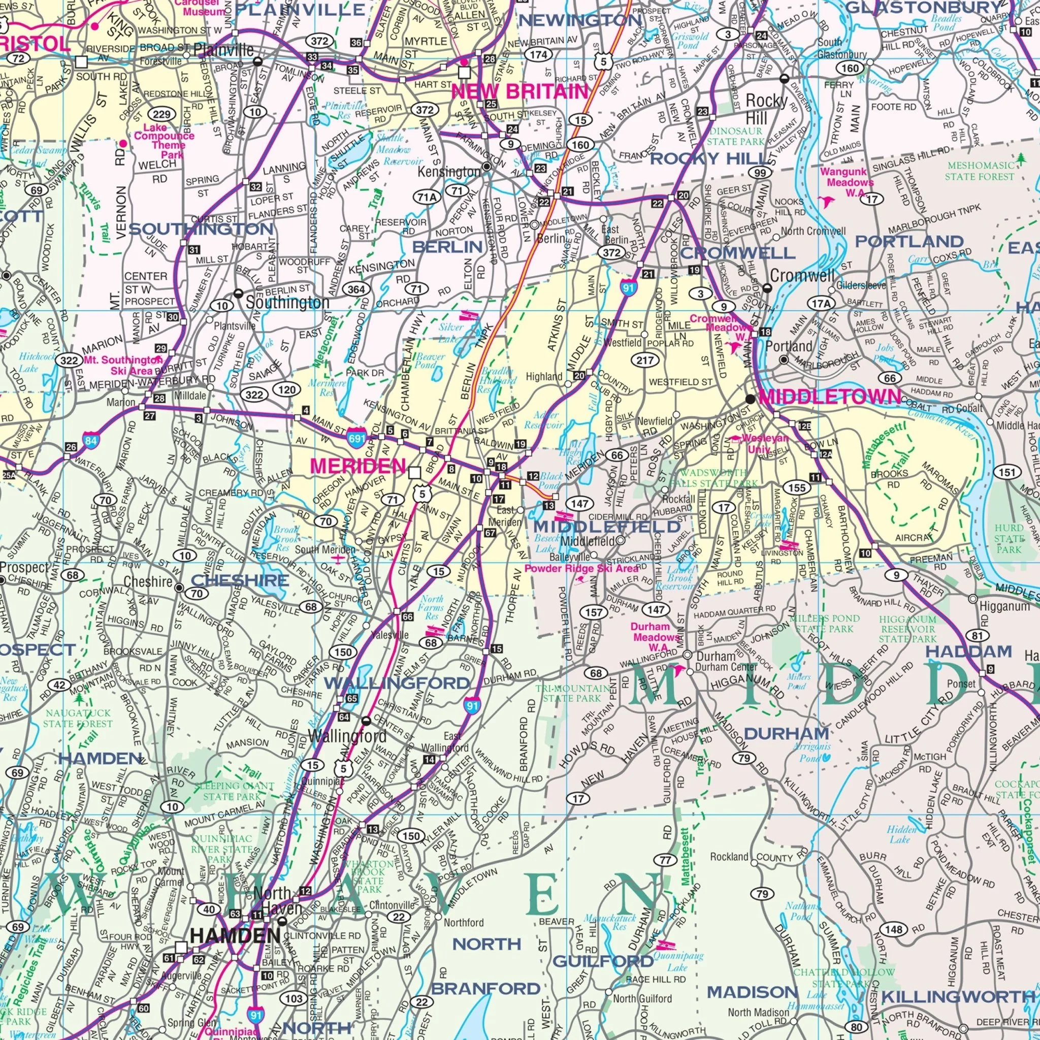
Key details featured on the map encompass streets, airports, government buildings, post offices, cemeteries, fire and police stations, hospitals, shopping centers, educational institutions, railroads, water features, golf and country clubs, mileage circles, recreational parks, ZIP codes and boundaries, as well as block numbers.
Size: 70" x 51"
Published: 2006
Original: $149.99
-70%$149.99
$45.00Product Information
Product Information
Shipping & Returns
Shipping & Returns
Description
The Connecticut State Wall Map by Kappa Map Group offers a comprehensive geographical resource. It includes city and county indices on the map's face, along with color-coded counties for easy reference.
Key details featured on the map encompass streets, airports, government buildings, post offices, cemeteries, fire and police stations, hospitals, shopping centers, educational institutions, railroads, water features, golf and country clubs, mileage circles, recreational parks, ZIP codes and boundaries, as well as block numbers.
Size: 70" x 51"
Published: 2006