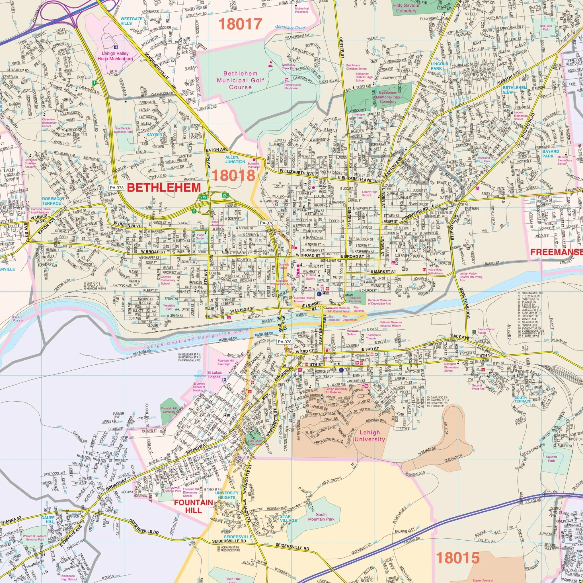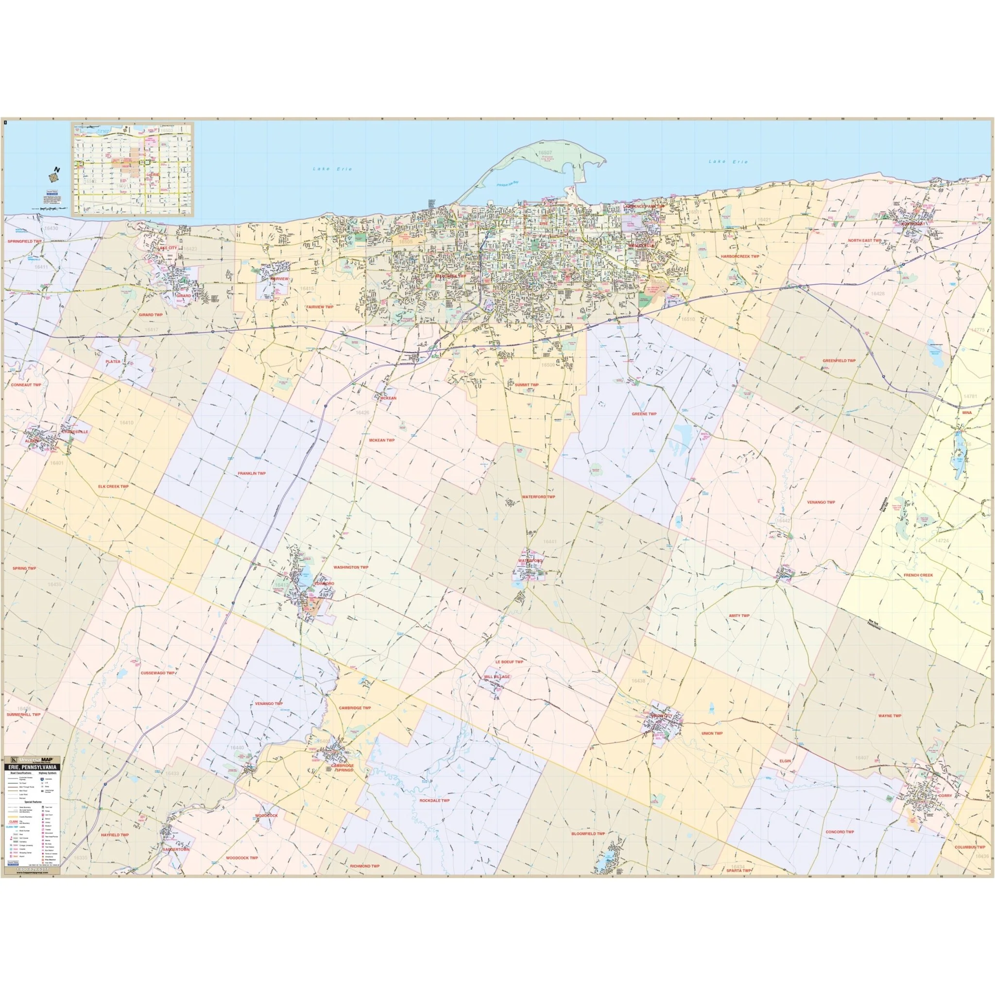


Erie, PA Wall Map
The Erie, PA Wall Map, with adjacent areas, provides complete street detail. The area of coverage includes all of Erie County, with the following boundaries:
- North: To Lake Erie and Presque Isle State Park;
- South: To Saegertown and Canadahota Lake;
- East: To Corry and the Borough of North East;
- West: To Cranesville and the Borough of Albion.
Details and features include airports, cemeteries, city limits, educational institutions, fire & police stations, golf & country clubs, government buildings, hospitals, libraries, neighborhoods, points of interest, post offices, railroads, recreational parks, shopping centers, streets & highways, township boundaries, water features, and ZIP code boundaries.
Size: 74" x 57"
Published: 2012
Original: $149.99
-70%$149.99
$45.00Product Information
Product Information
Shipping & Returns
Shipping & Returns
Description
The Erie, PA Wall Map, with adjacent areas, provides complete street detail. The area of coverage includes all of Erie County, with the following boundaries:
- North: To Lake Erie and Presque Isle State Park;
- South: To Saegertown and Canadahota Lake;
- East: To Corry and the Borough of North East;
- West: To Cranesville and the Borough of Albion.
Details and features include airports, cemeteries, city limits, educational institutions, fire & police stations, golf & country clubs, government buildings, hospitals, libraries, neighborhoods, points of interest, post offices, railroads, recreational parks, shopping centers, streets & highways, township boundaries, water features, and ZIP code boundaries.
Size: 74" x 57"
Published: 2012