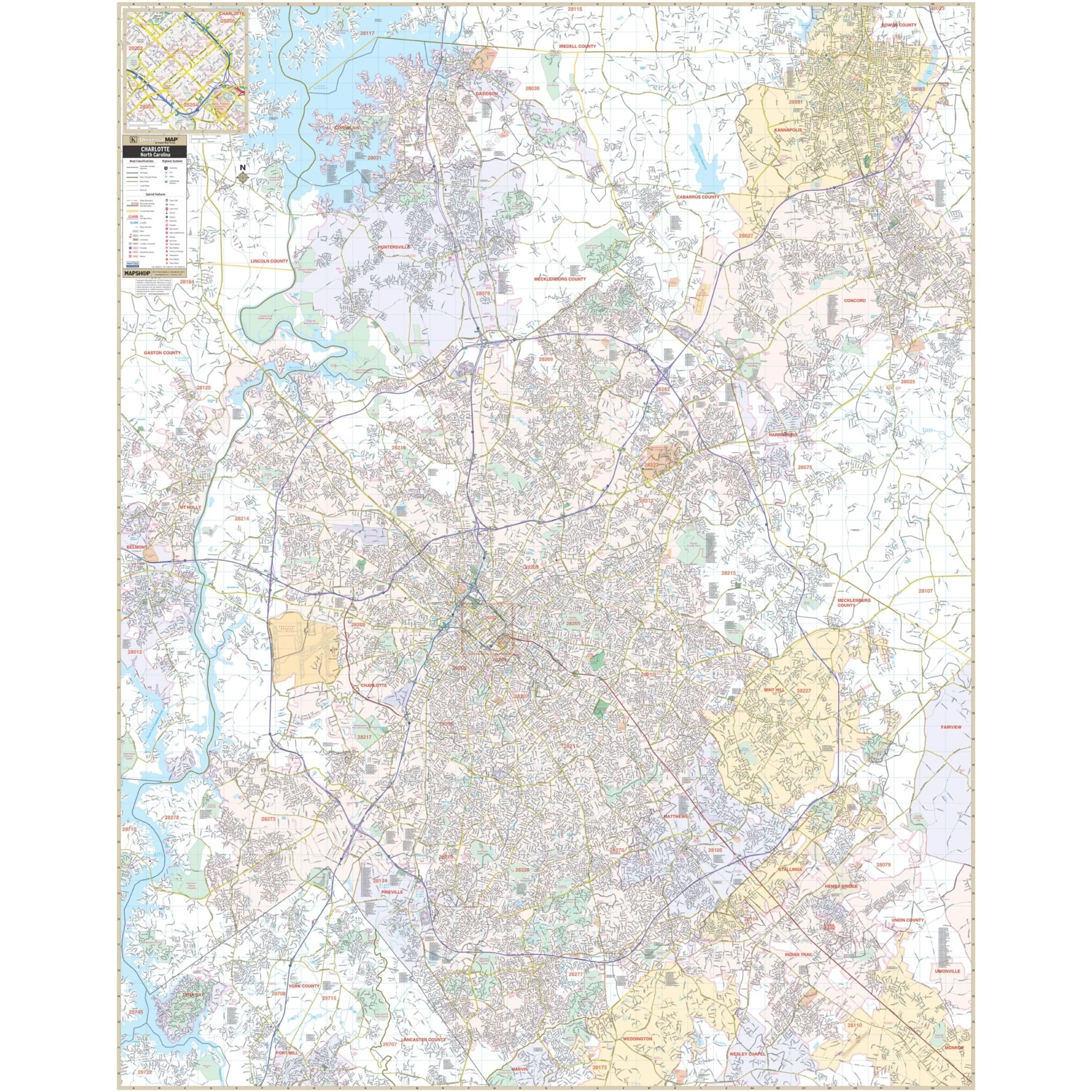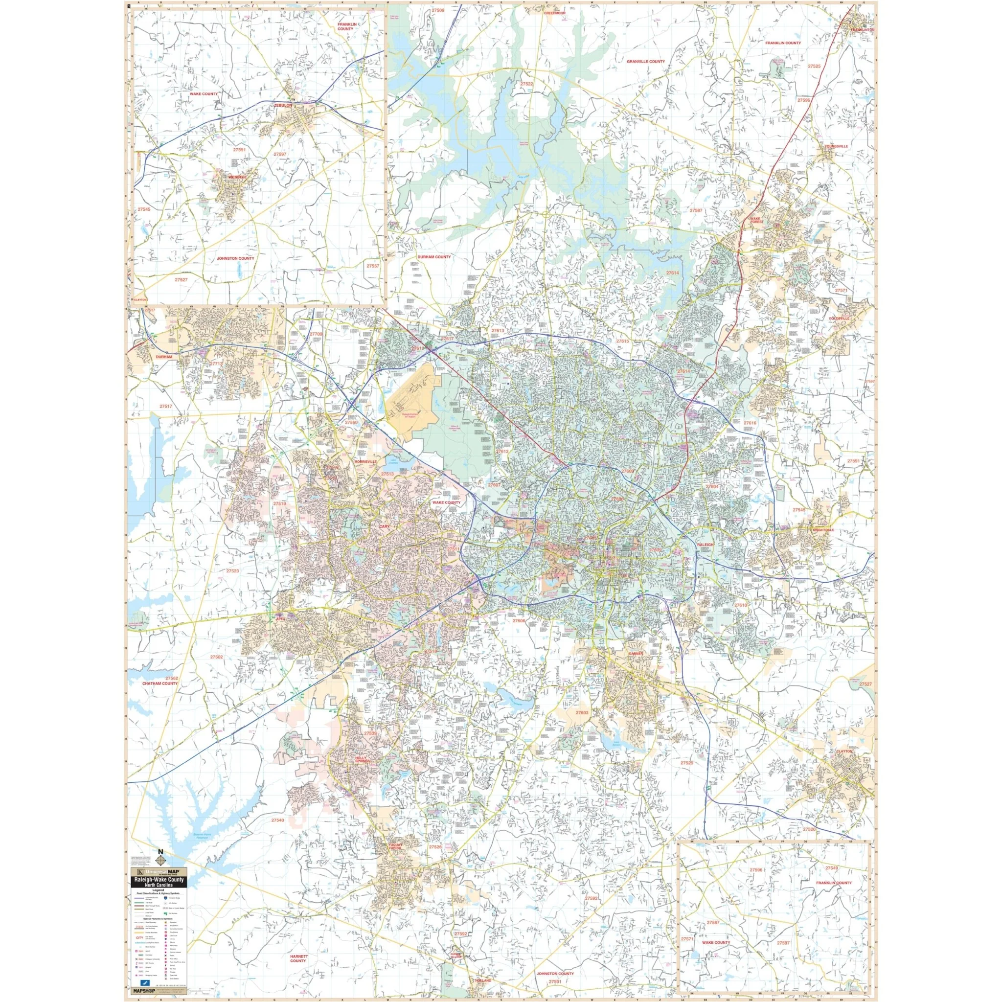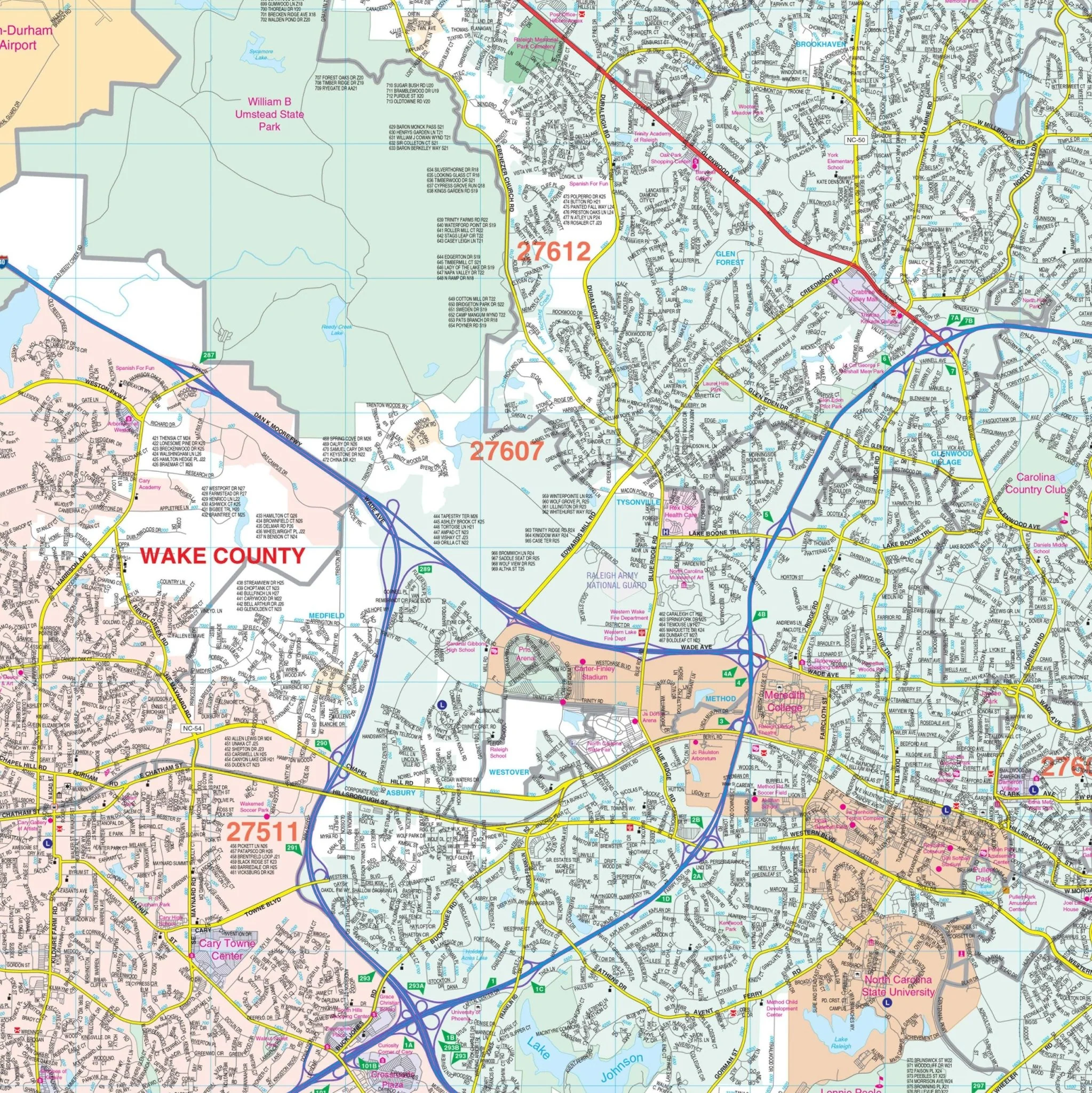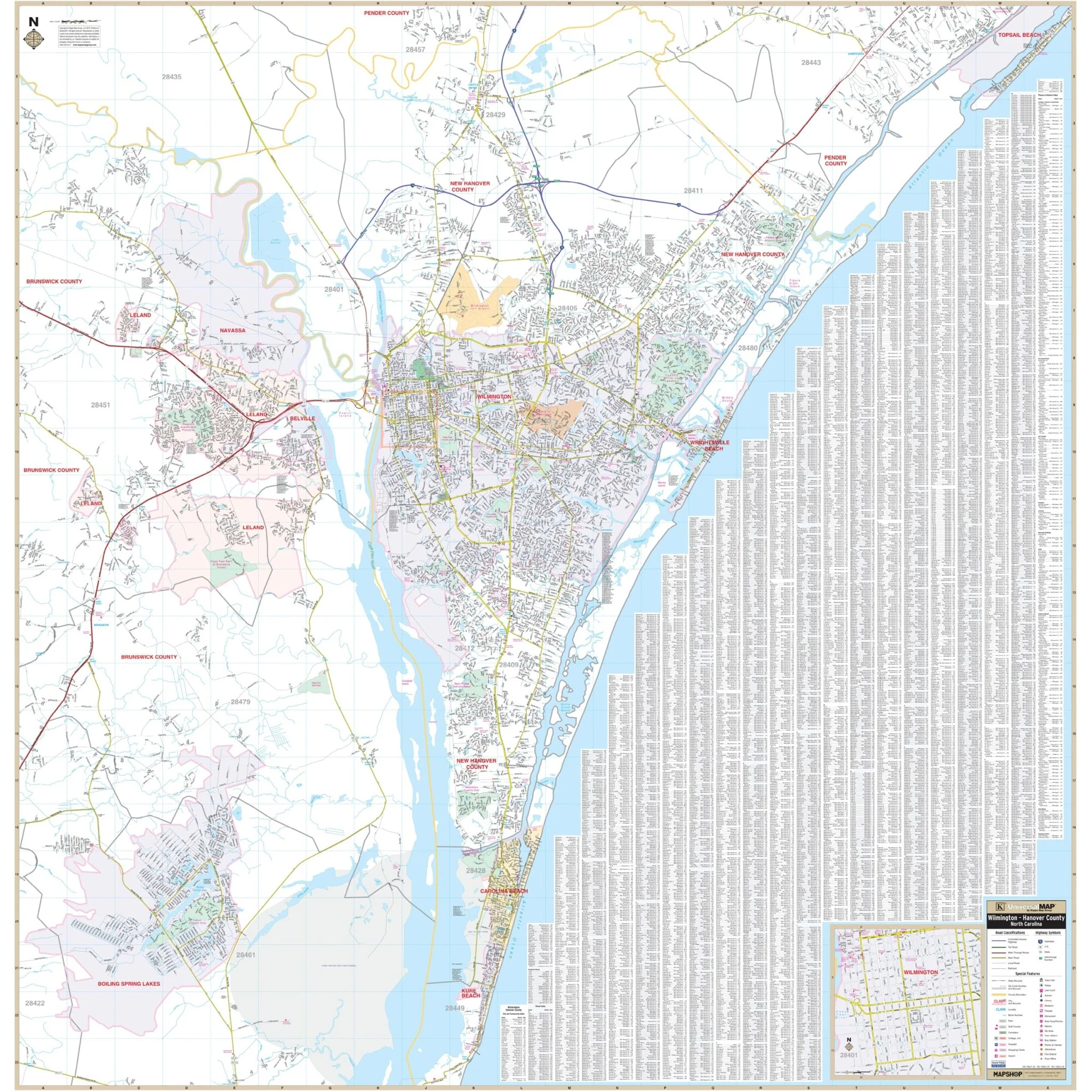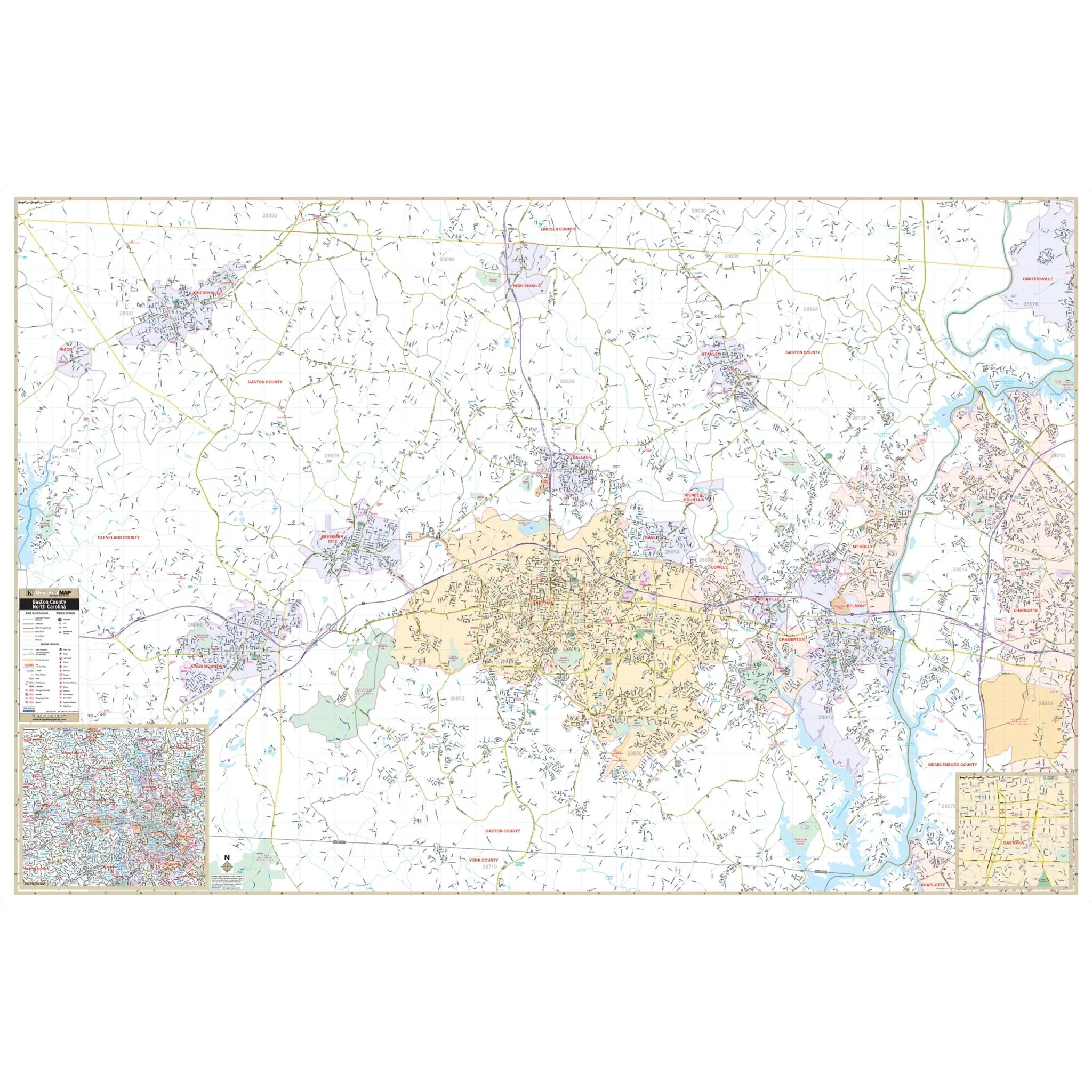
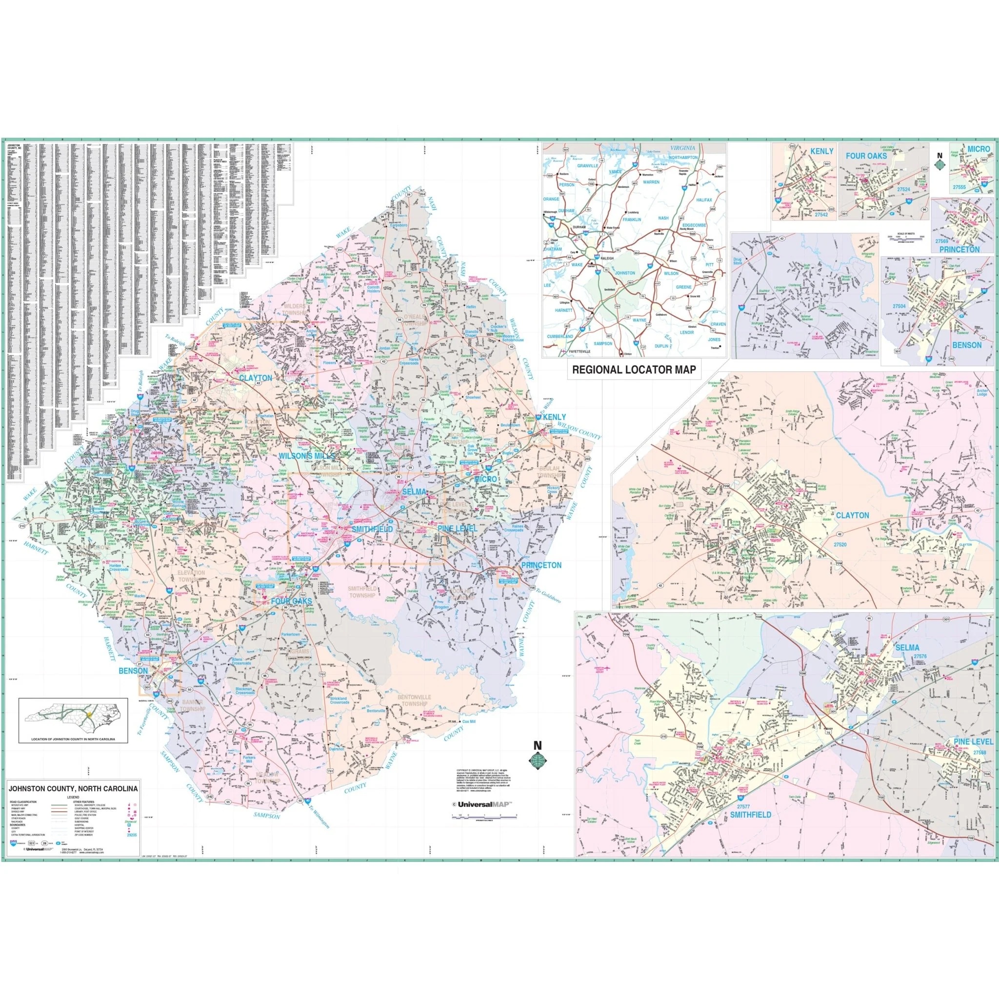


Johnston County, NC Wall Map
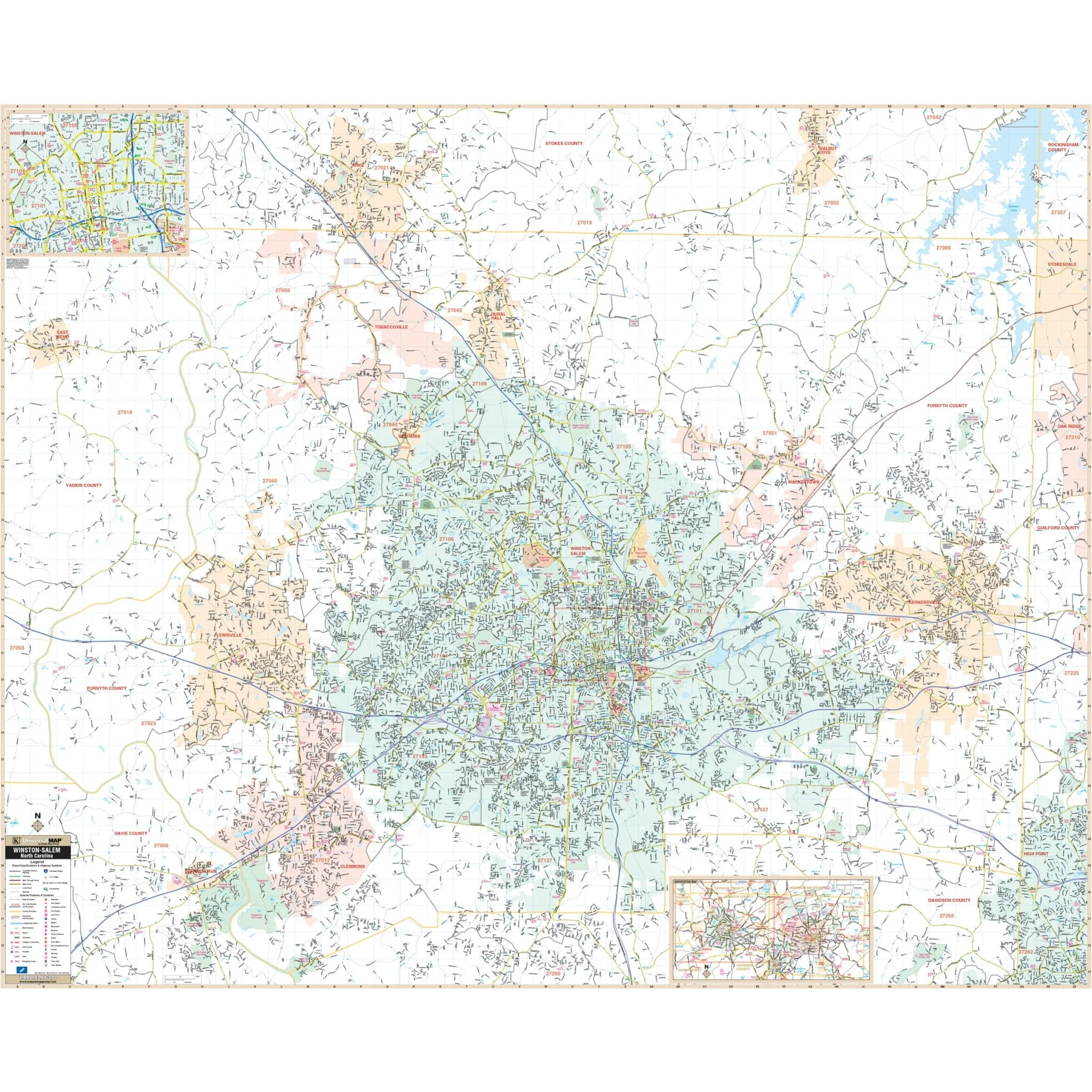
The Johnston County, NC Wall Map offers complete street detail. The area of coverage includes the following boundaries:
- North: to the Wake/Nash County line
- South: to the Sampson/Wayne County line
- East: to the Wilson/Wayne County line
- West: to the Wake/Harnett County line
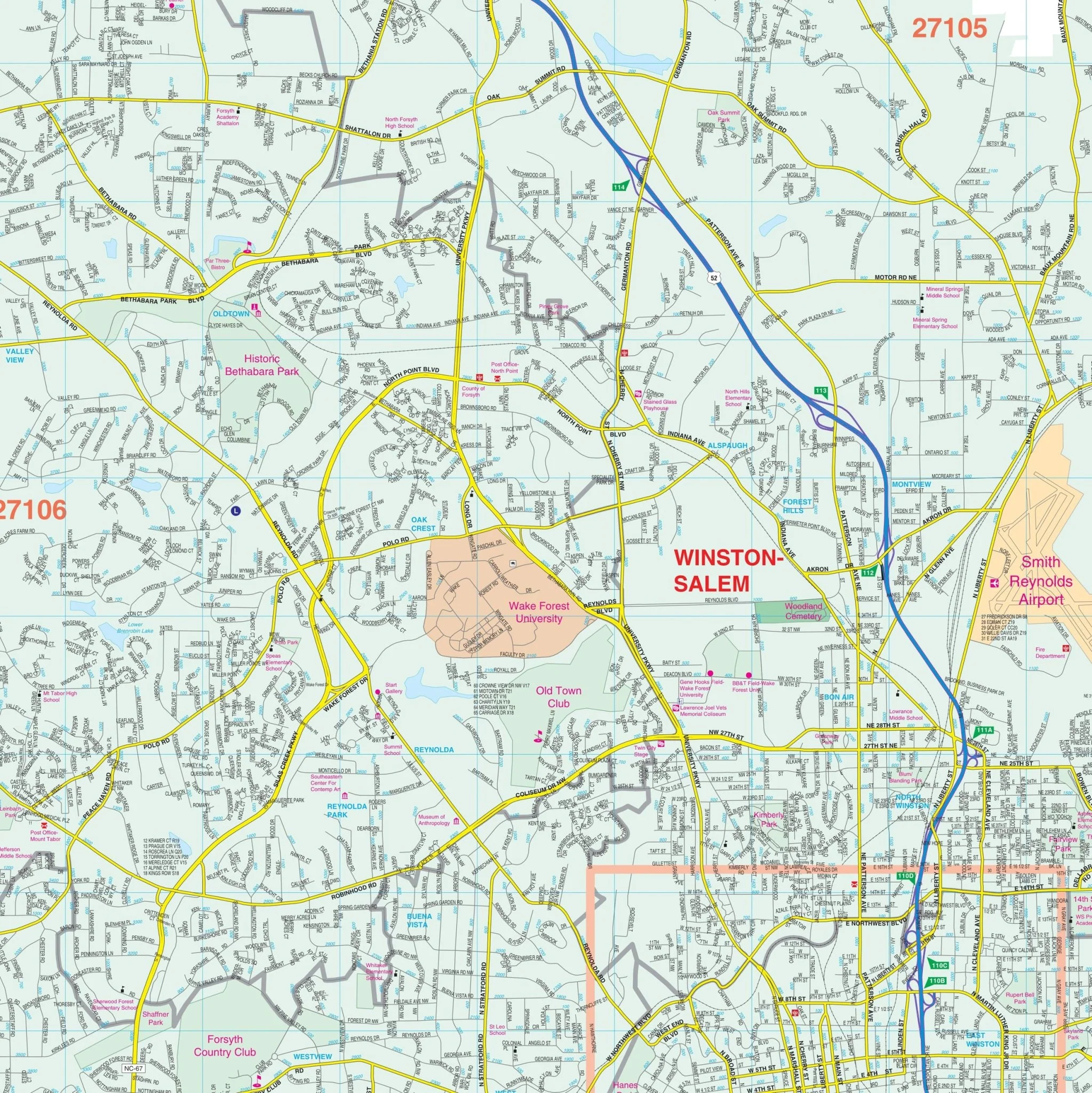
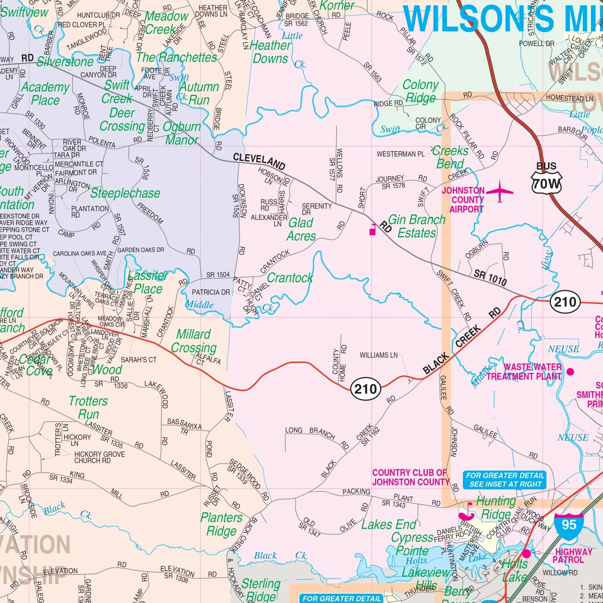
The map features insets of downtown Benson, Clayton, Drug Store, Four Oaks, Kenly, Micro, Pine Level, Princeton, Selma, Smithfield, and a regional locator map. Details included on the map encompass airports, cemeteries, hospitals, railroads, post offices, all streets and highways, shopping centers, water features, recreational parks, fire district lines, subdivision names, government buildings, fire and police stations, educational facilities, golf and country clubs, ZIP codes on insets, city limits and annexations, and points of interest.
Size: 74" x 54"
Published: 2012
Original: $149.99
-70%$149.99
$45.00Product Information
Product Information
Shipping & Returns
Shipping & Returns
Description
The Johnston County, NC Wall Map offers complete street detail. The area of coverage includes the following boundaries:
- North: to the Wake/Nash County line
- South: to the Sampson/Wayne County line
- East: to the Wilson/Wayne County line
- West: to the Wake/Harnett County line
The map features insets of downtown Benson, Clayton, Drug Store, Four Oaks, Kenly, Micro, Pine Level, Princeton, Selma, Smithfield, and a regional locator map. Details included on the map encompass airports, cemeteries, hospitals, railroads, post offices, all streets and highways, shopping centers, water features, recreational parks, fire district lines, subdivision names, government buildings, fire and police stations, educational facilities, golf and country clubs, ZIP codes on insets, city limits and annexations, and points of interest.
Size: 74" x 54"
Published: 2012