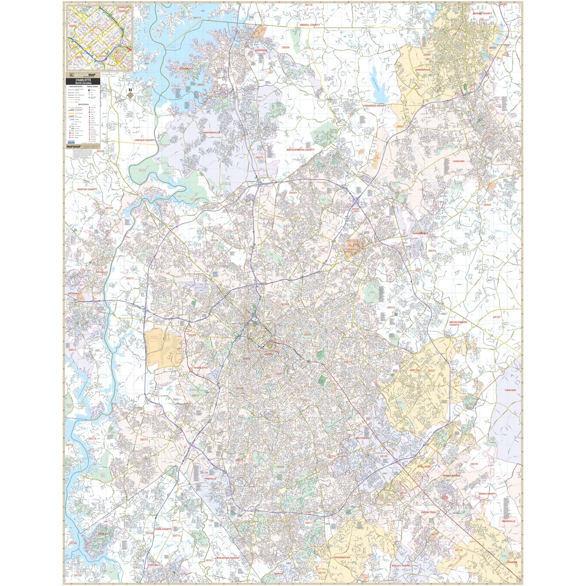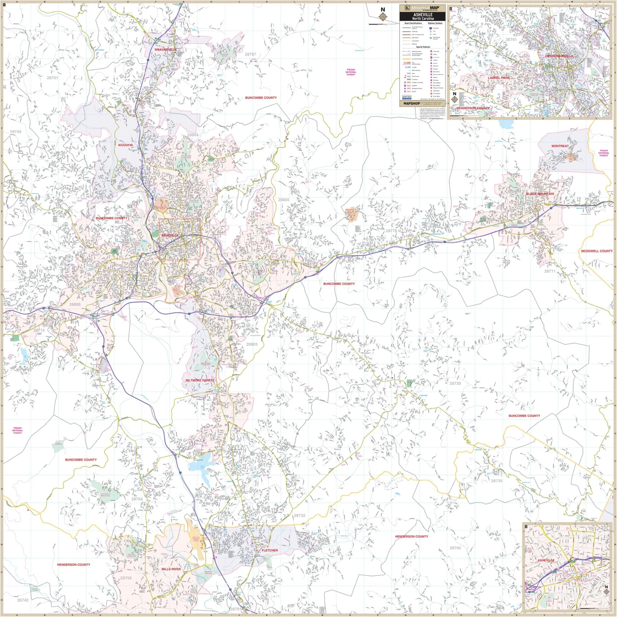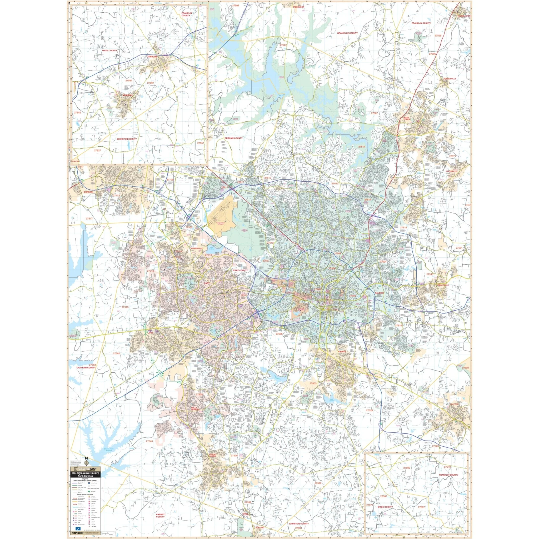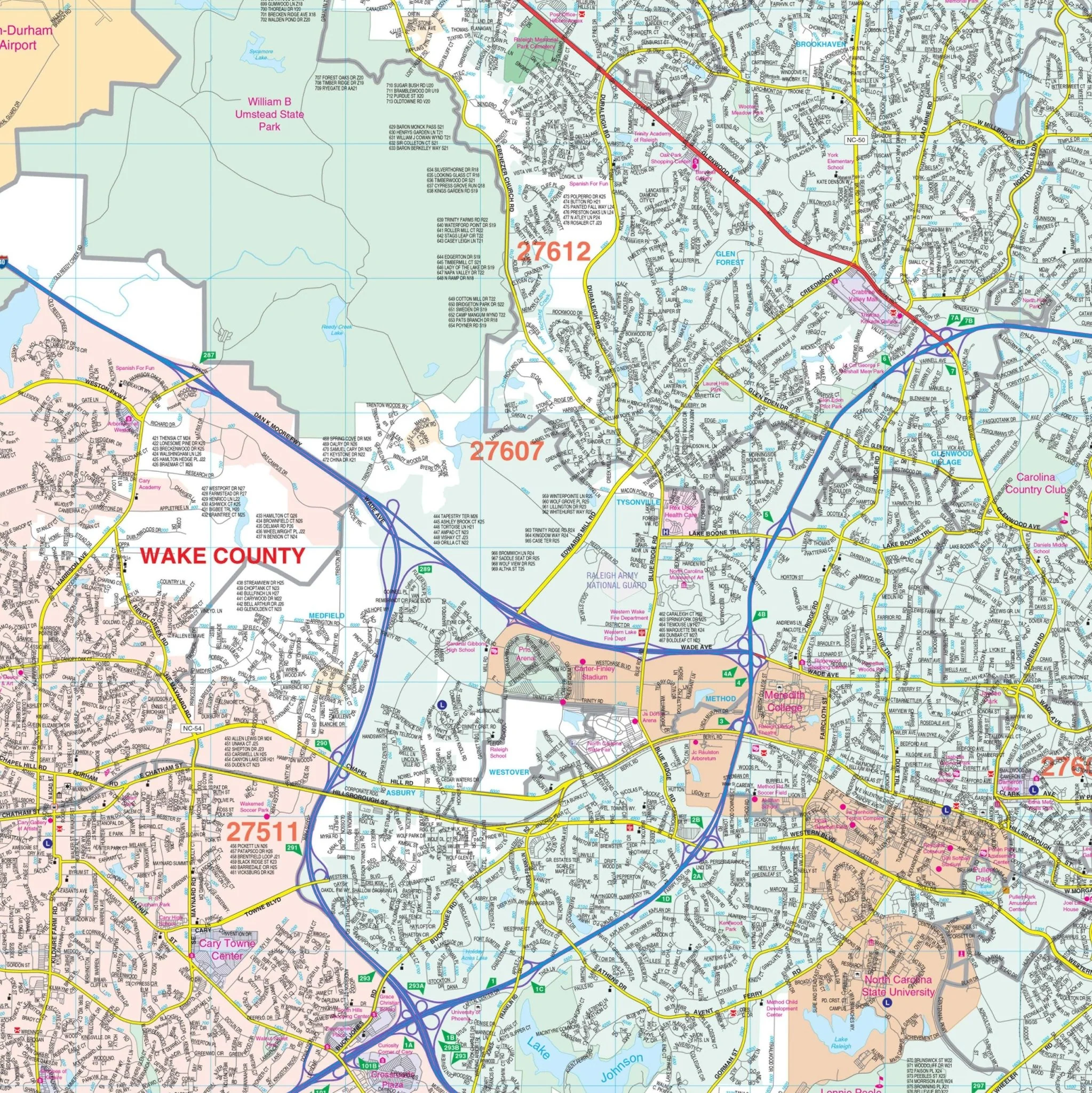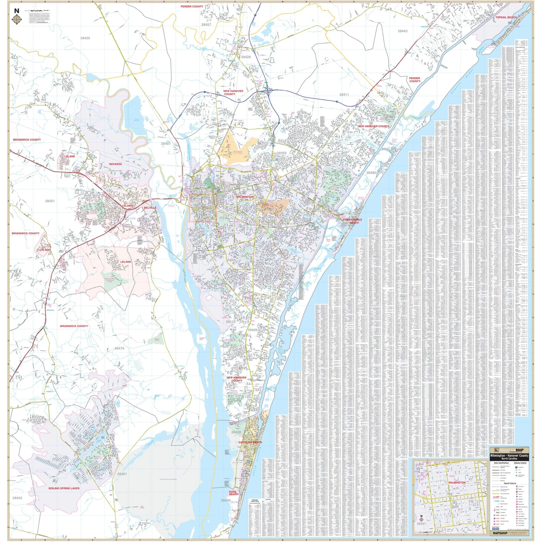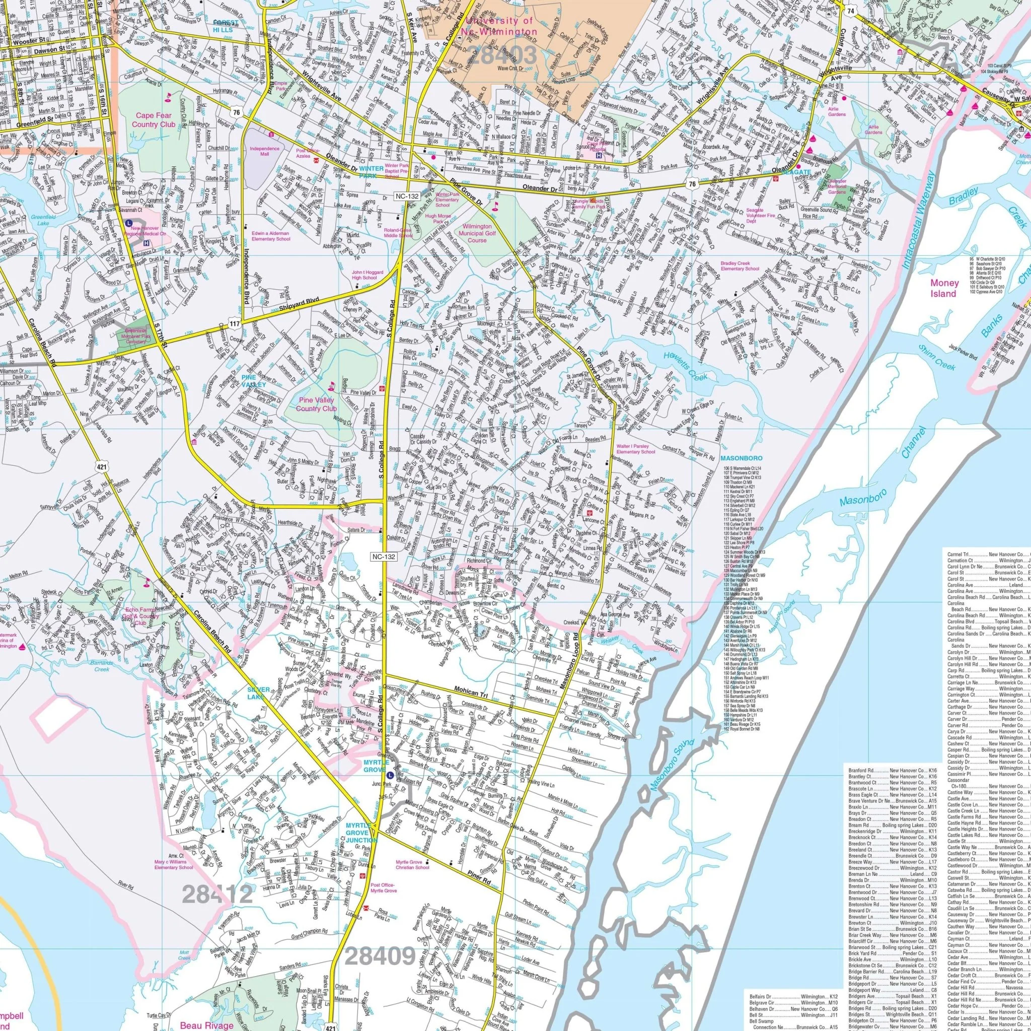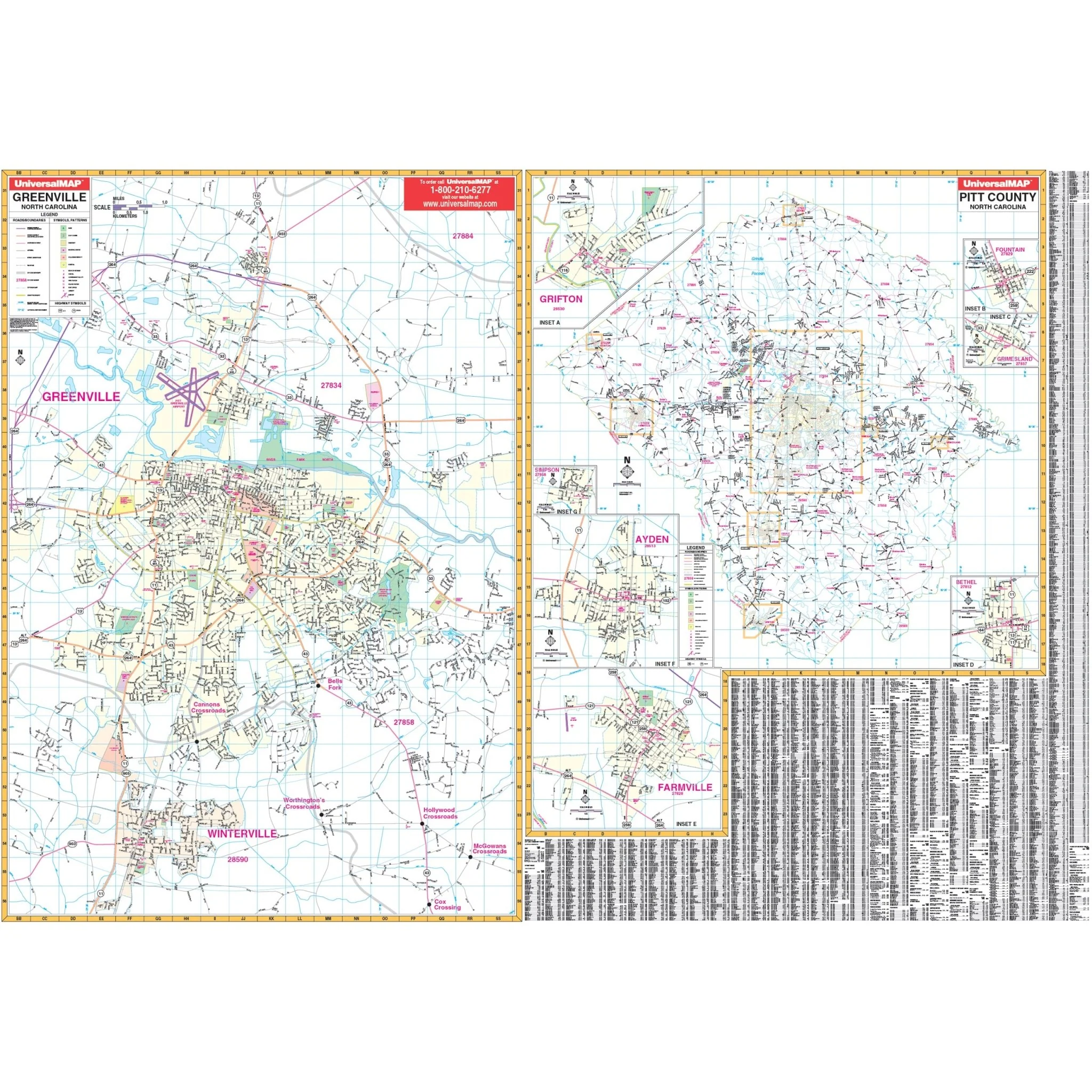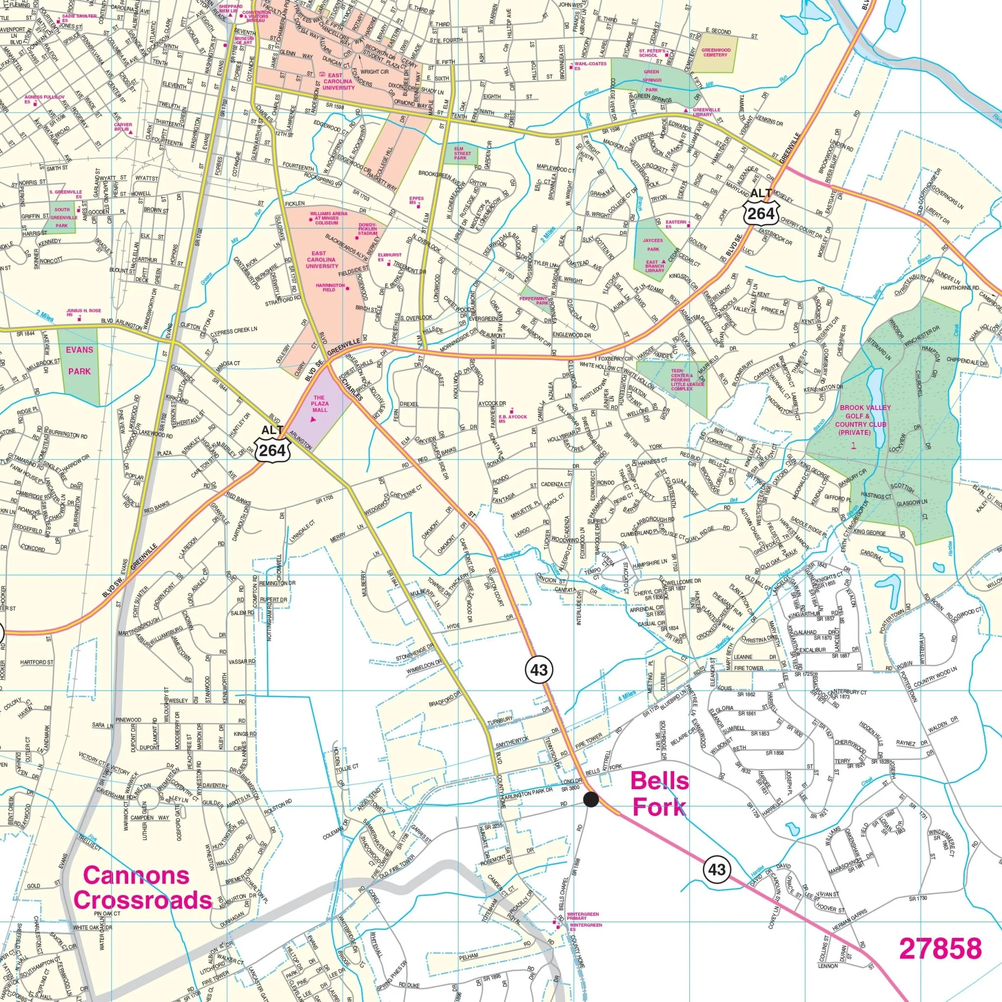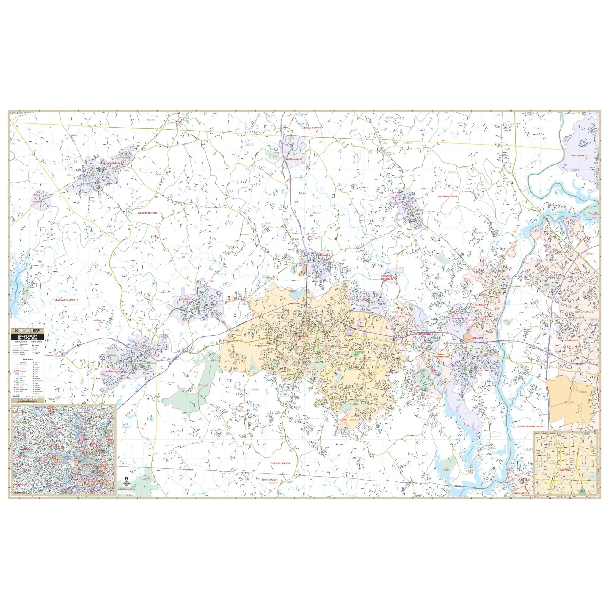


Rutherford County, NC Wall Map
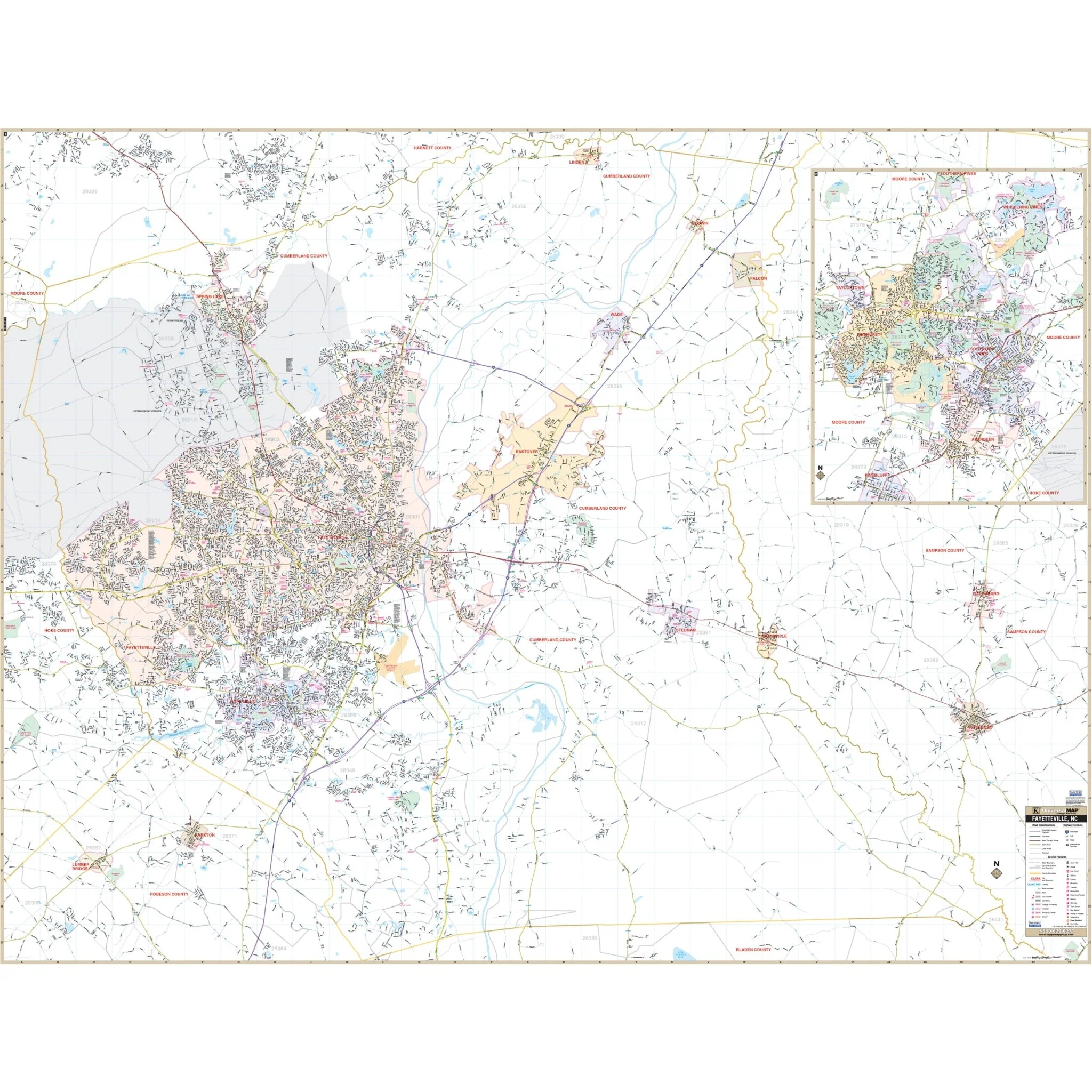
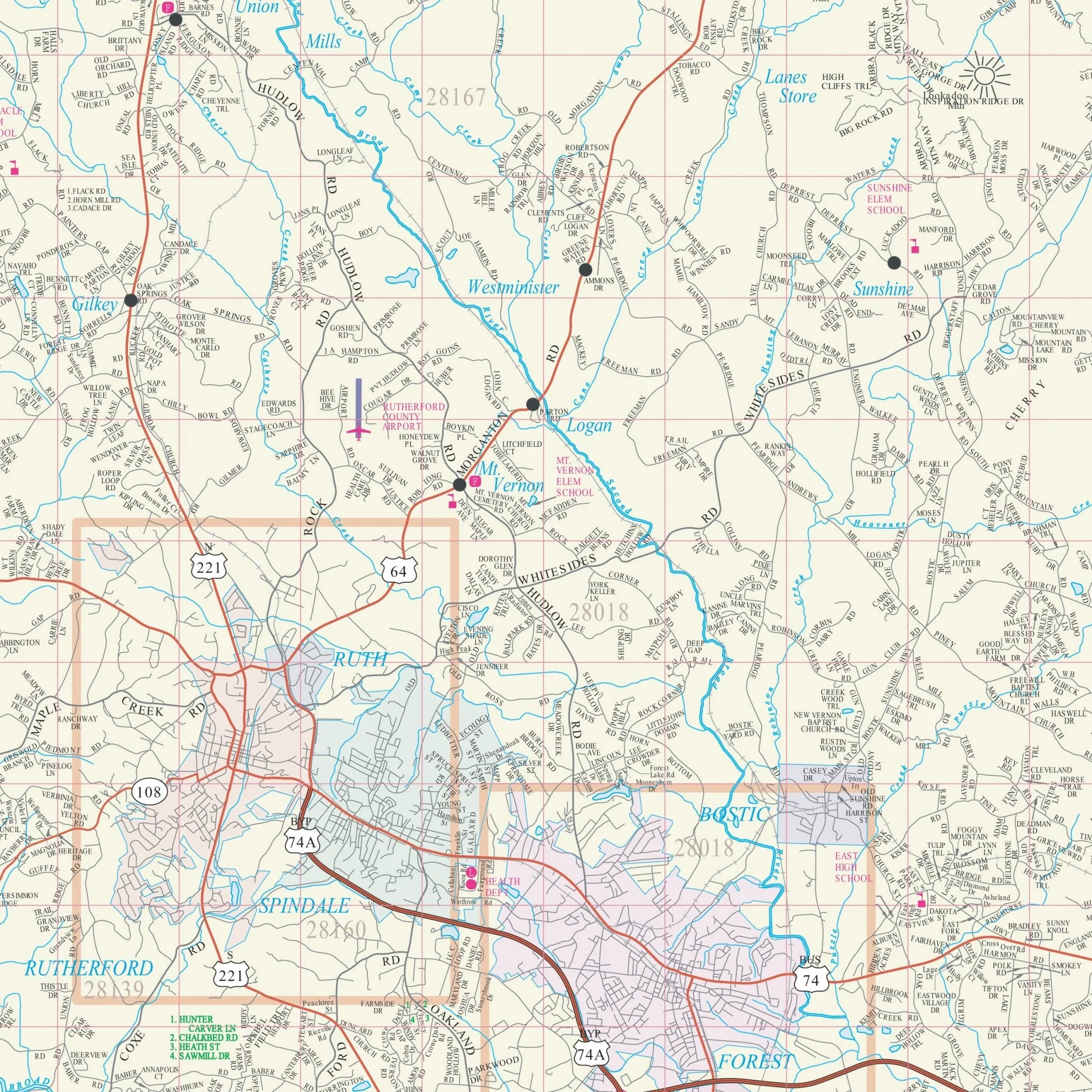
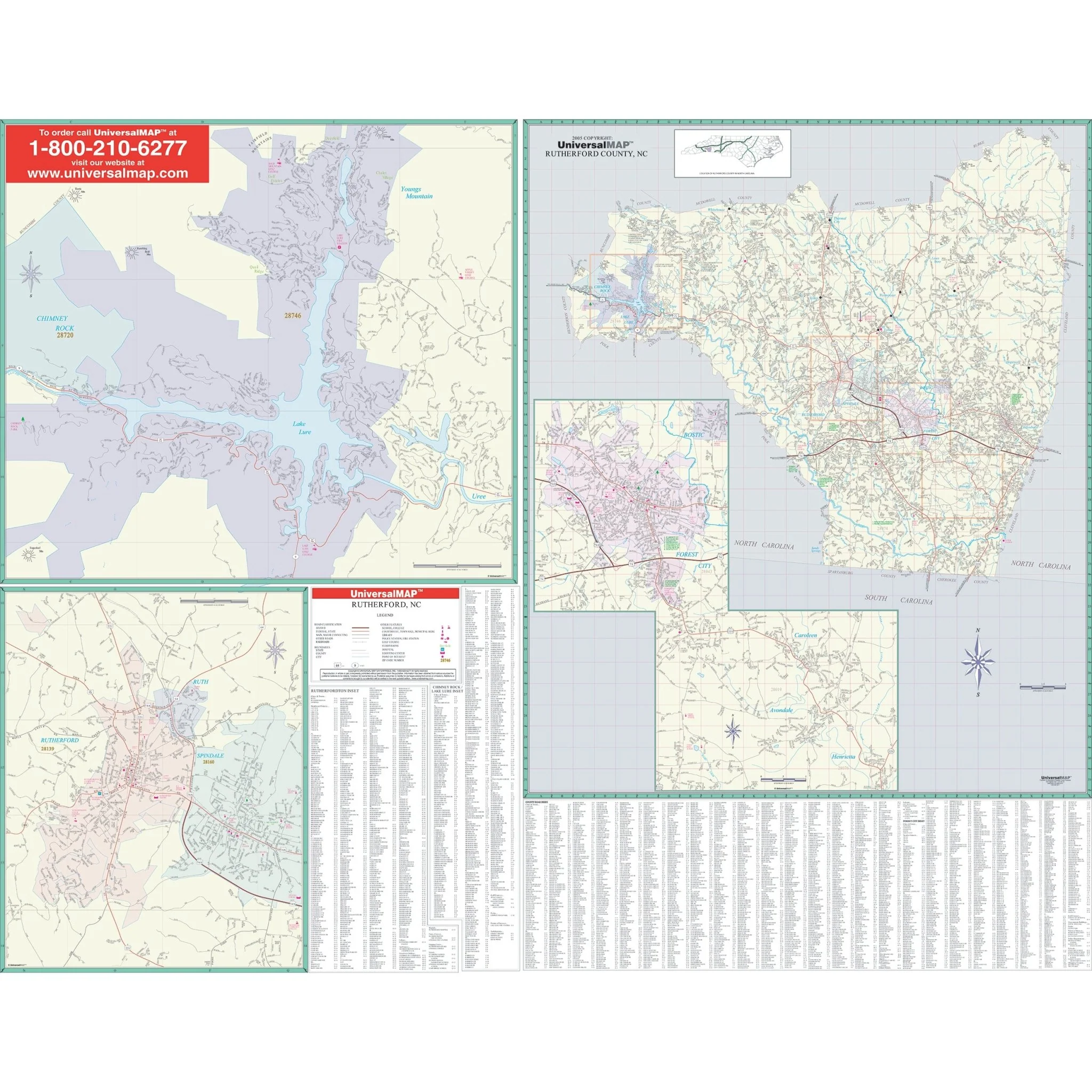
The wall map of Rutherford County, North Carolina, and adjacent areas offers complete street detail at a scale of 1" = 4,224 feet. The map features street indexing directly on its face. The coverage area is divided into two sections:
- Section I covers all of Rutherford County, with the following boundaries:
- North: to the McDowell County line
- South: to the Spartanburg/Cherokee County line
- East: to the Cleveland County line
- West: to the Henderson/Buncombe County lines
- Section II includes specific areas such as Forest City, Ruth, Rutherfordton, Spindale, Chimney Rock, and Lake Lure.
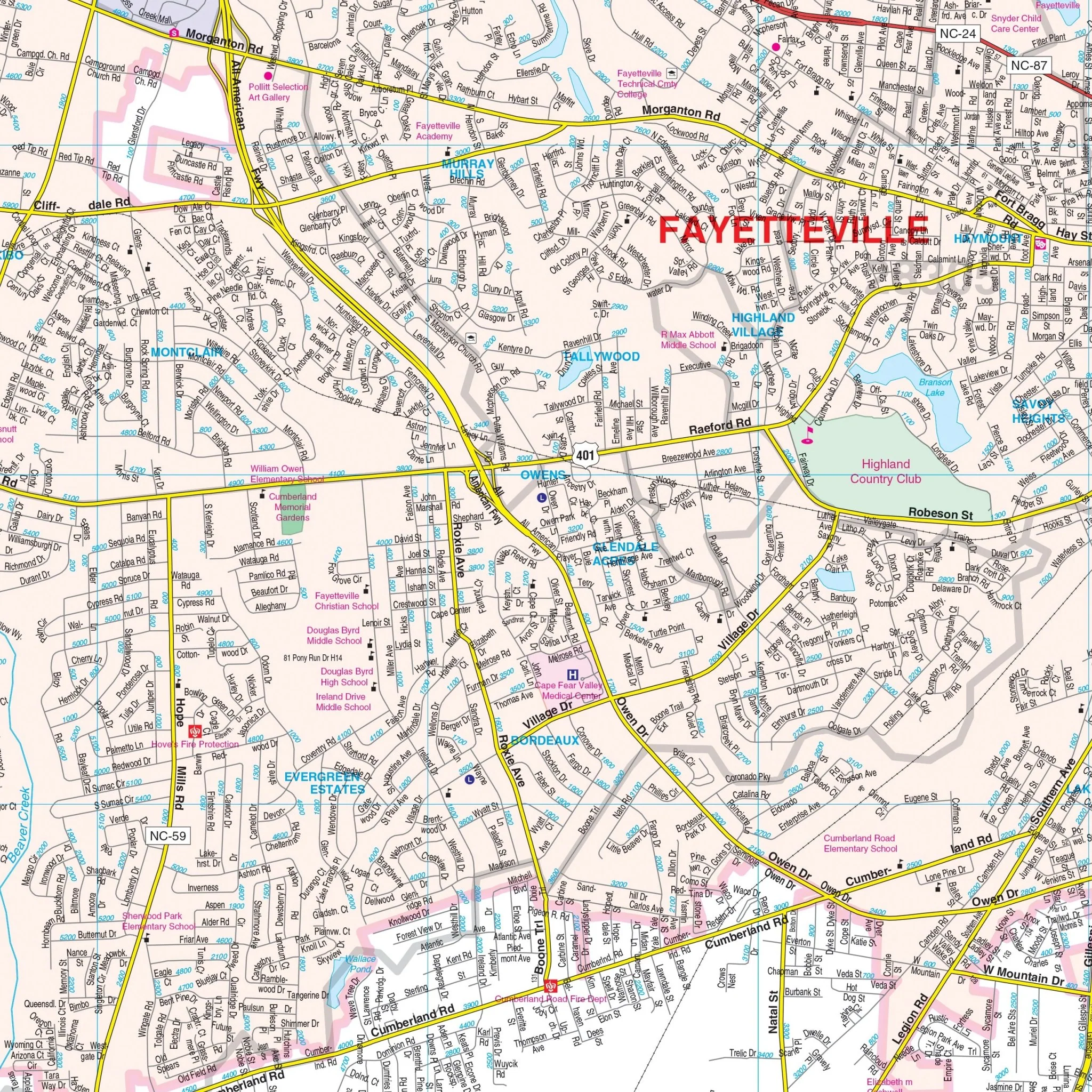
Details featured on the map encompass all streets and highways, government buildings, airports, water features, fire/police stations, hospitals, shopping centers, educational facilities, railroads, recreational parks, golf/country clubs, post offices, city limits/annexations, cemeteries, ZIP codes, and points of interest.
Size: 68" x 54"
Published: 2016
Original: $149.99
-70%$149.99
$45.00Product Information
Product Information
Shipping & Returns
Shipping & Returns
Description
The wall map of Rutherford County, North Carolina, and adjacent areas offers complete street detail at a scale of 1" = 4,224 feet. The map features street indexing directly on its face. The coverage area is divided into two sections:
- Section I covers all of Rutherford County, with the following boundaries:
- North: to the McDowell County line
- South: to the Spartanburg/Cherokee County line
- East: to the Cleveland County line
- West: to the Henderson/Buncombe County lines
- Section II includes specific areas such as Forest City, Ruth, Rutherfordton, Spindale, Chimney Rock, and Lake Lure.
Details featured on the map encompass all streets and highways, government buildings, airports, water features, fire/police stations, hospitals, shopping centers, educational facilities, railroads, recreational parks, golf/country clubs, post offices, city limits/annexations, cemeteries, ZIP codes, and points of interest.
Size: 68" x 54"
Published: 2016