


McHenry County, IL Wall Map
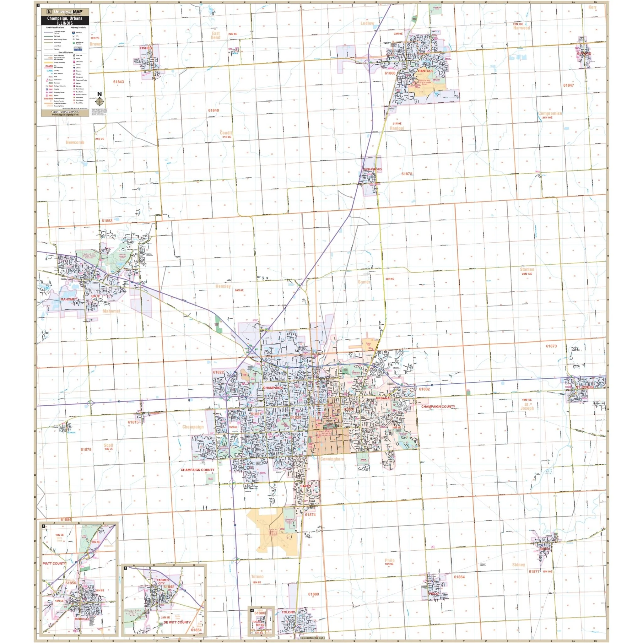
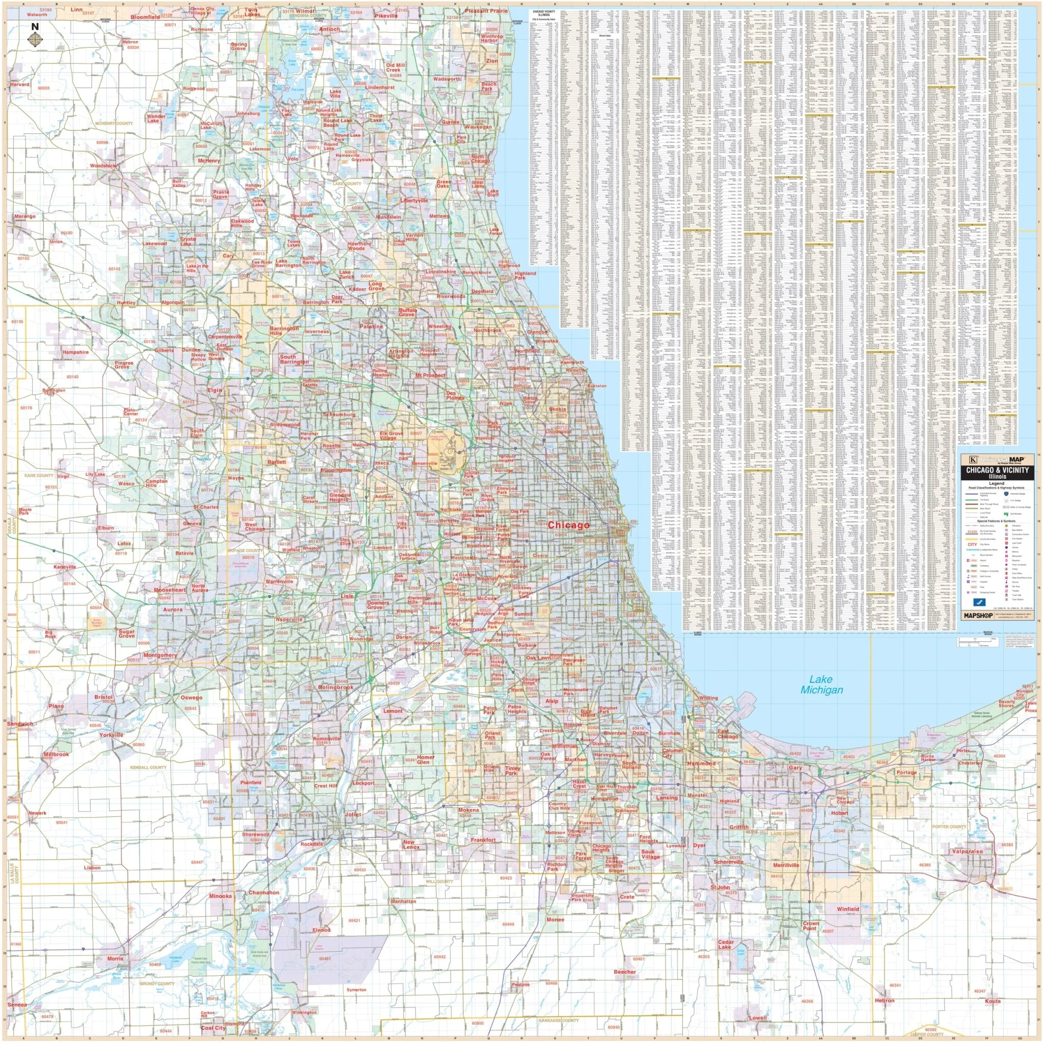
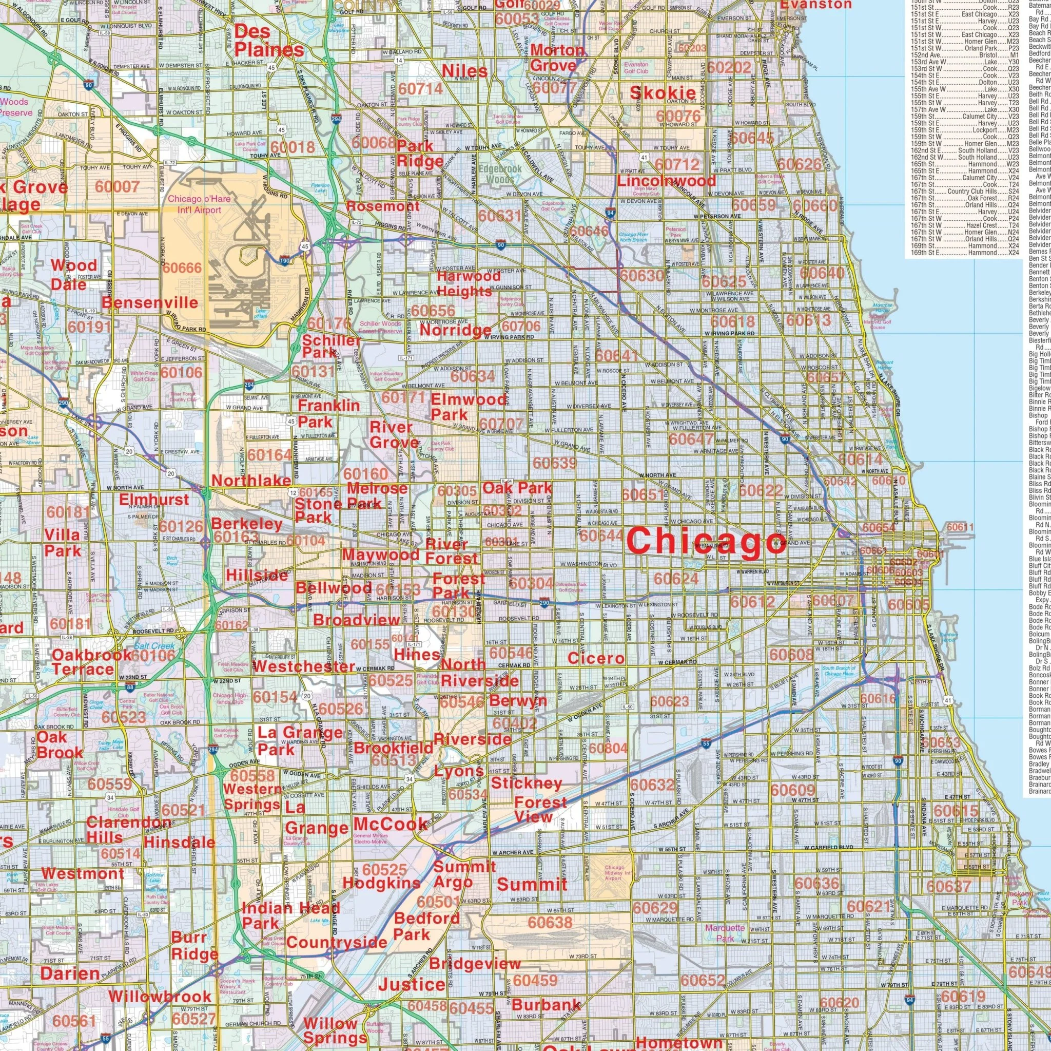
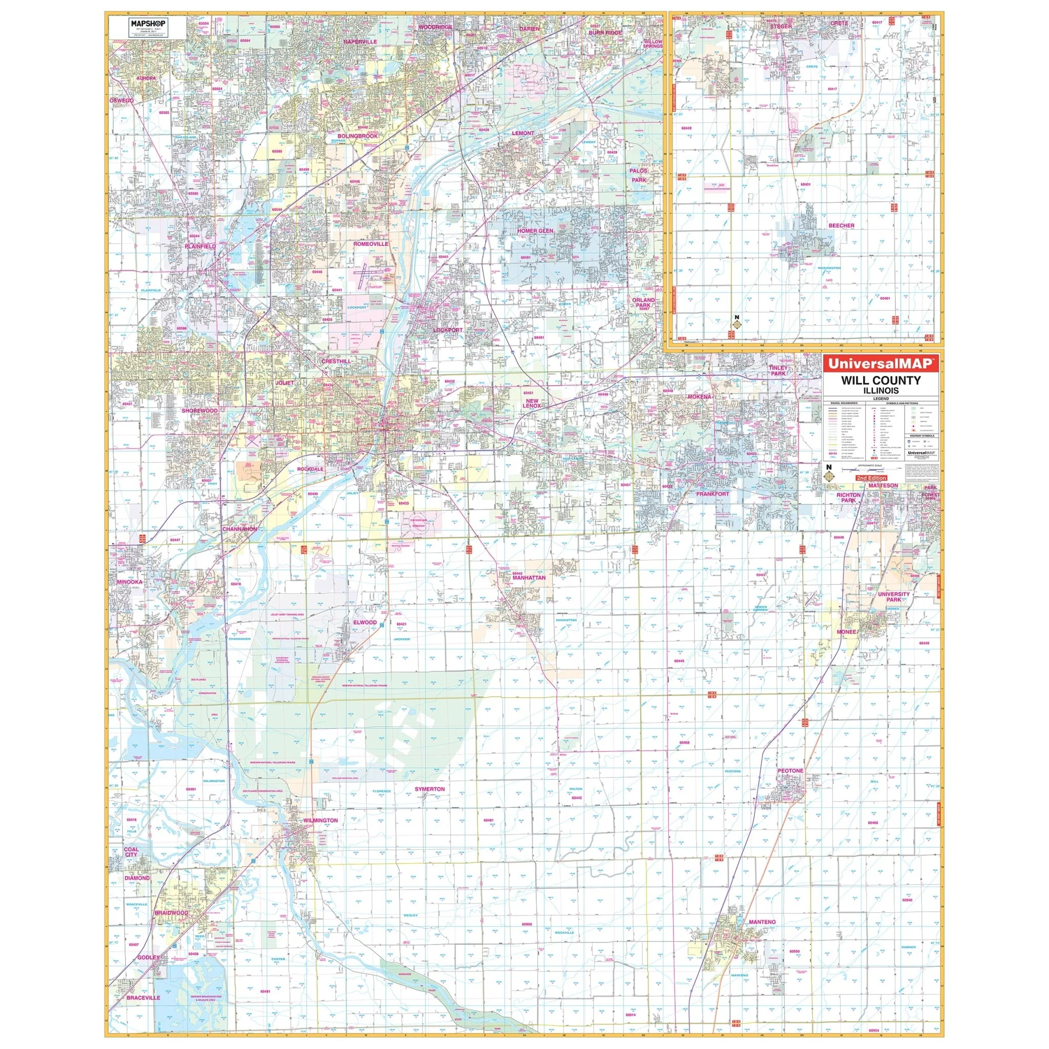
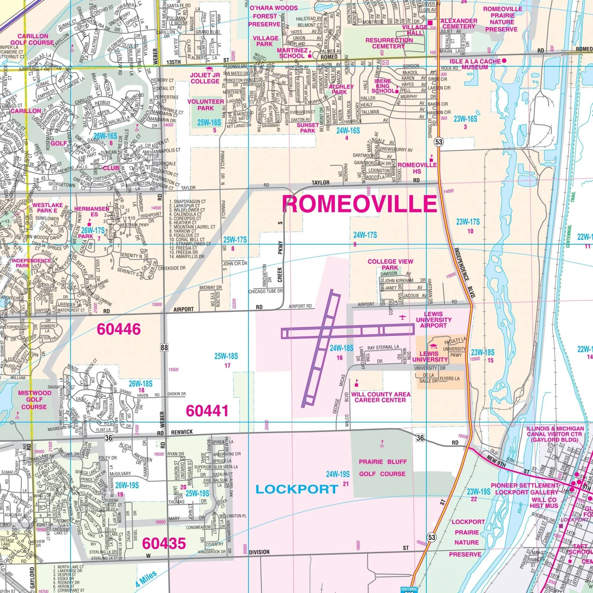
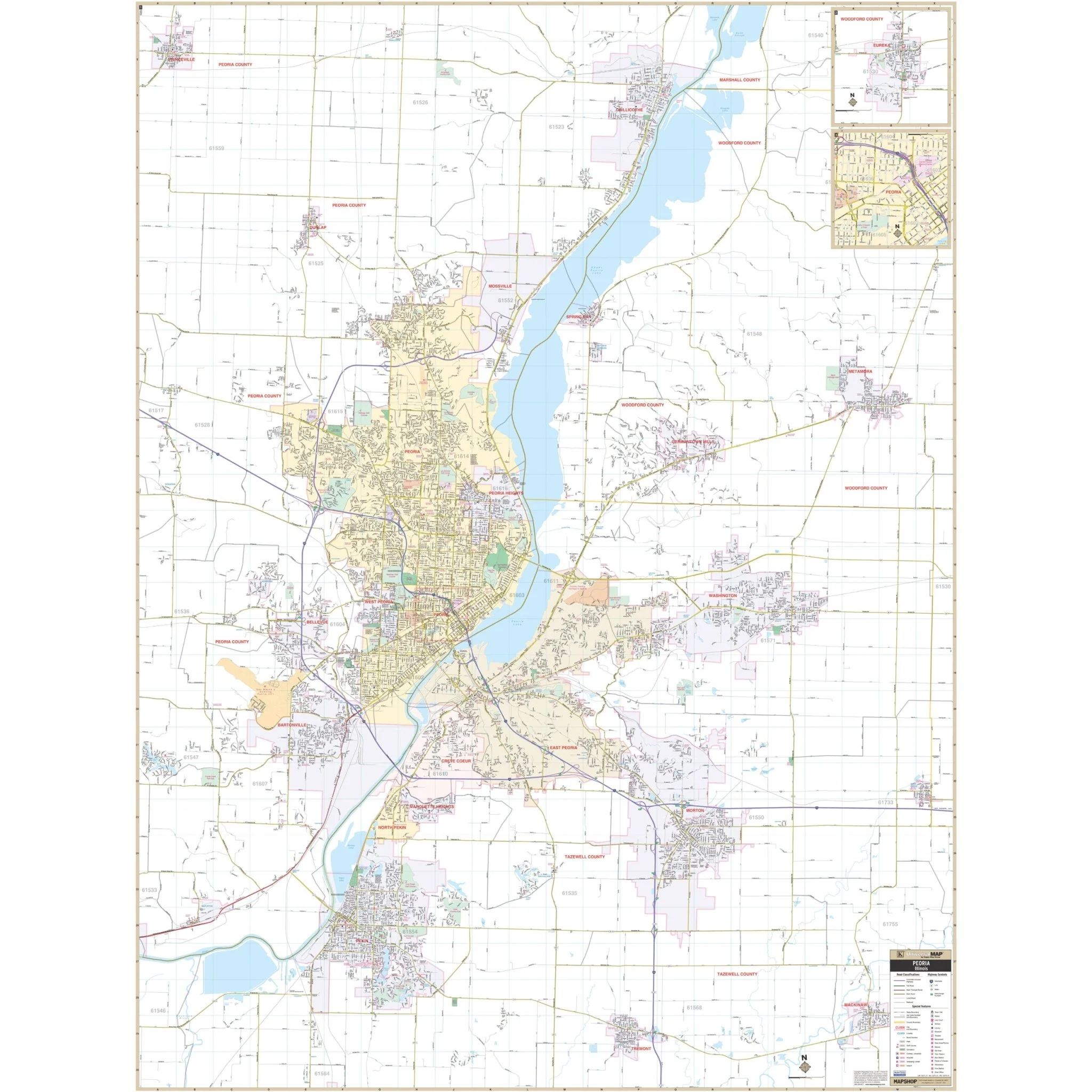
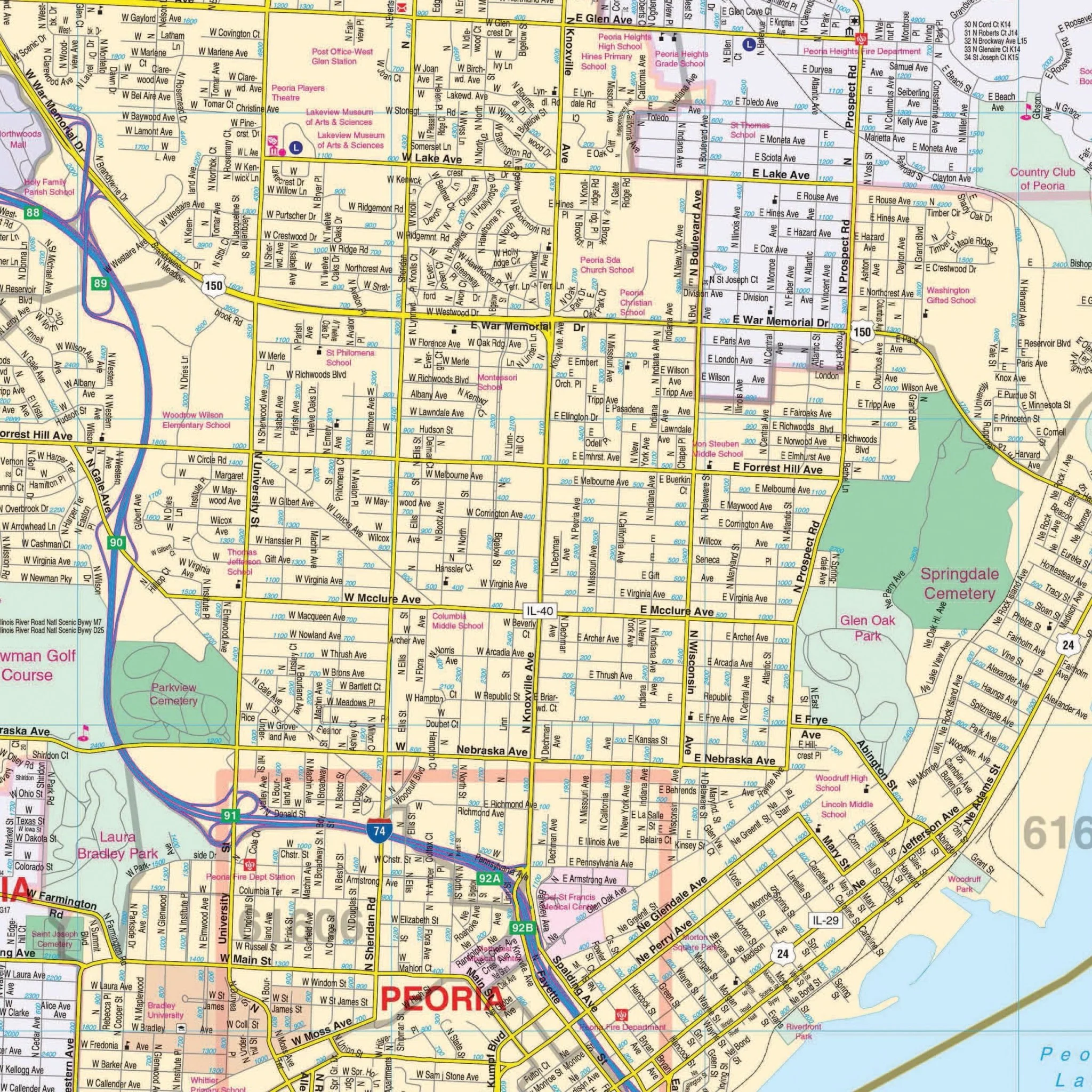
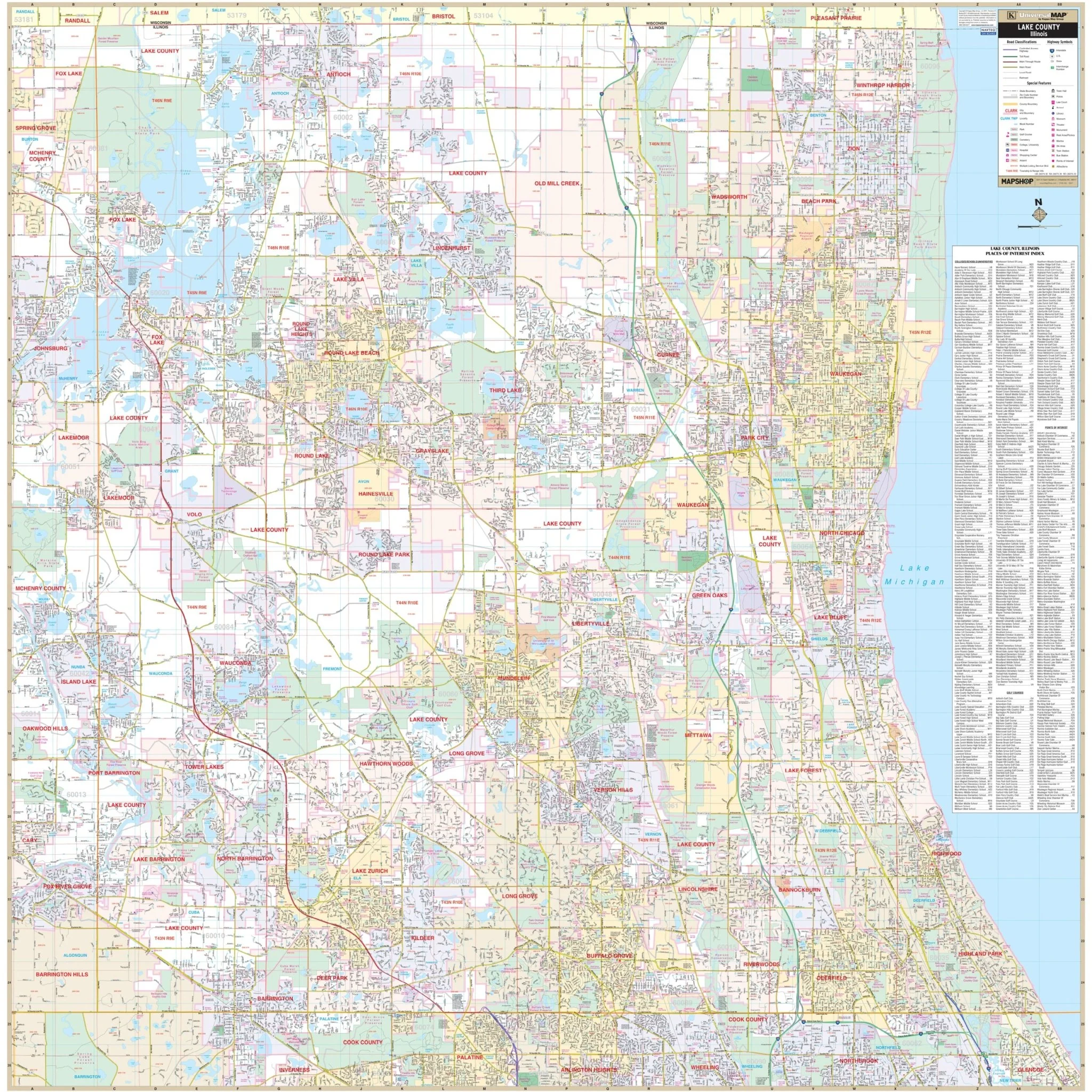
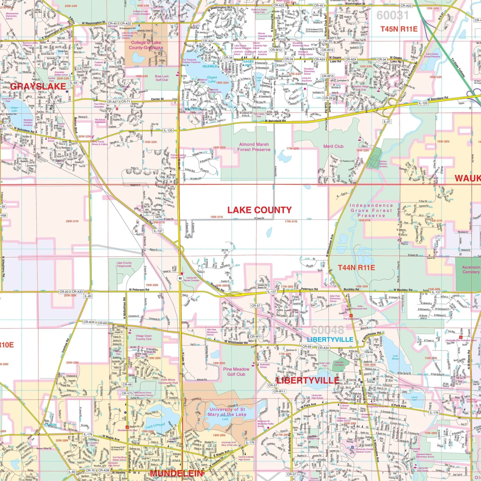
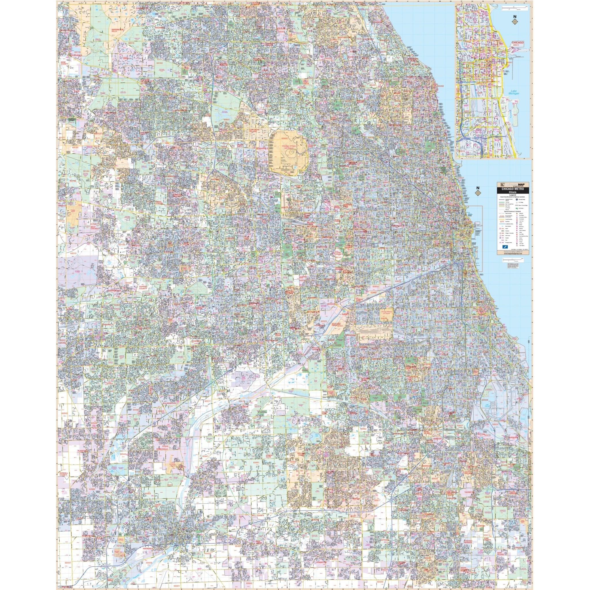
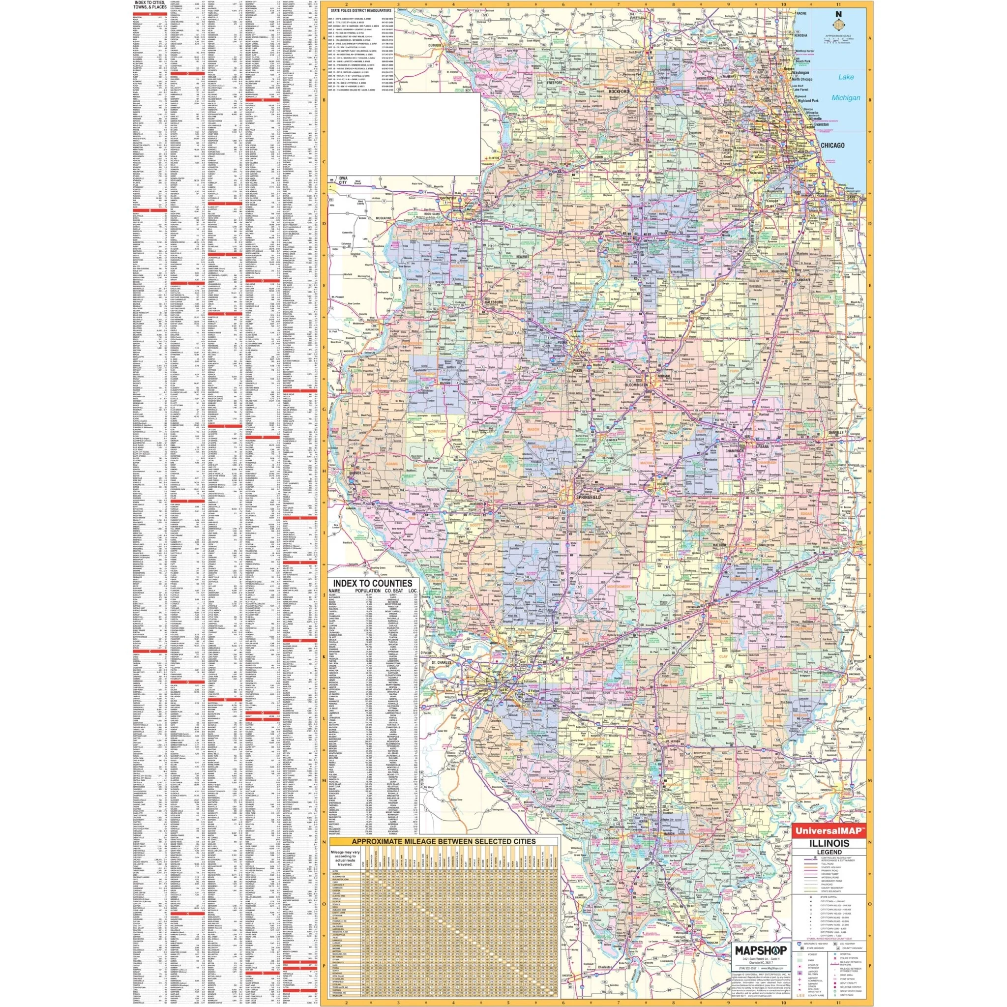
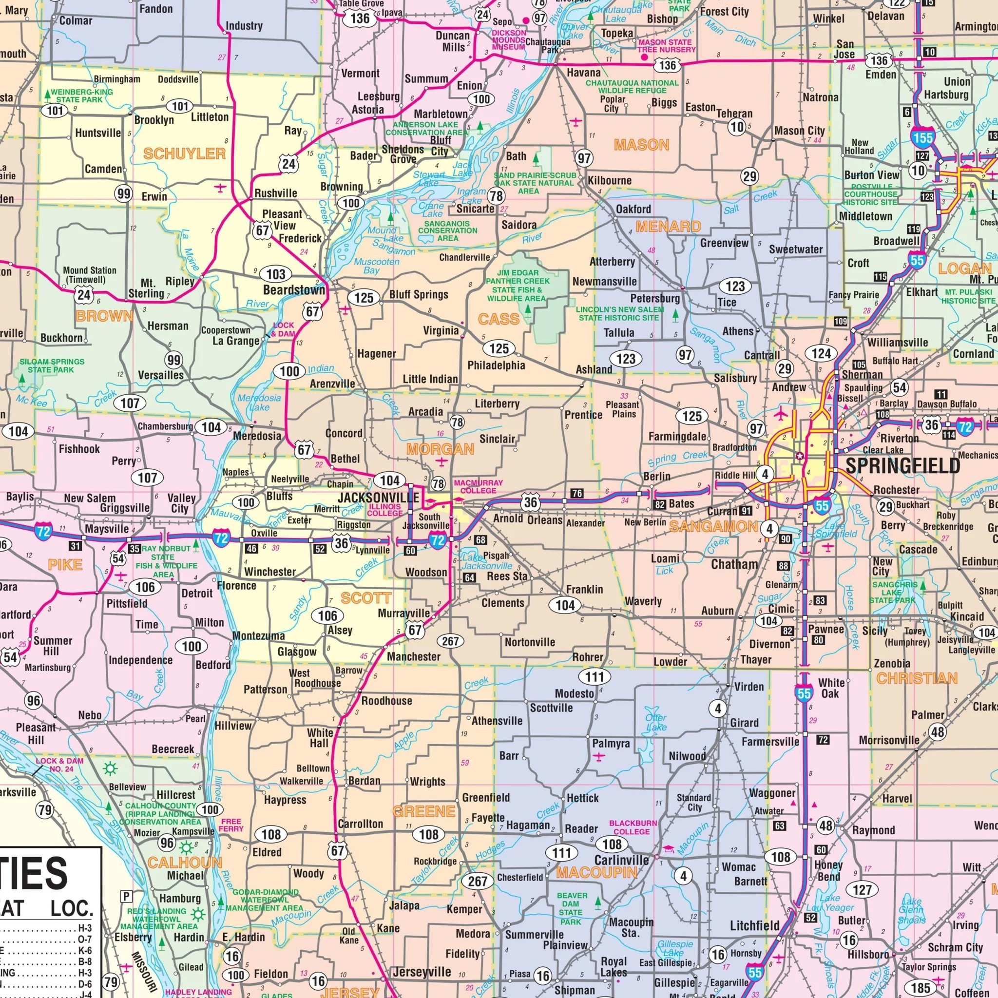
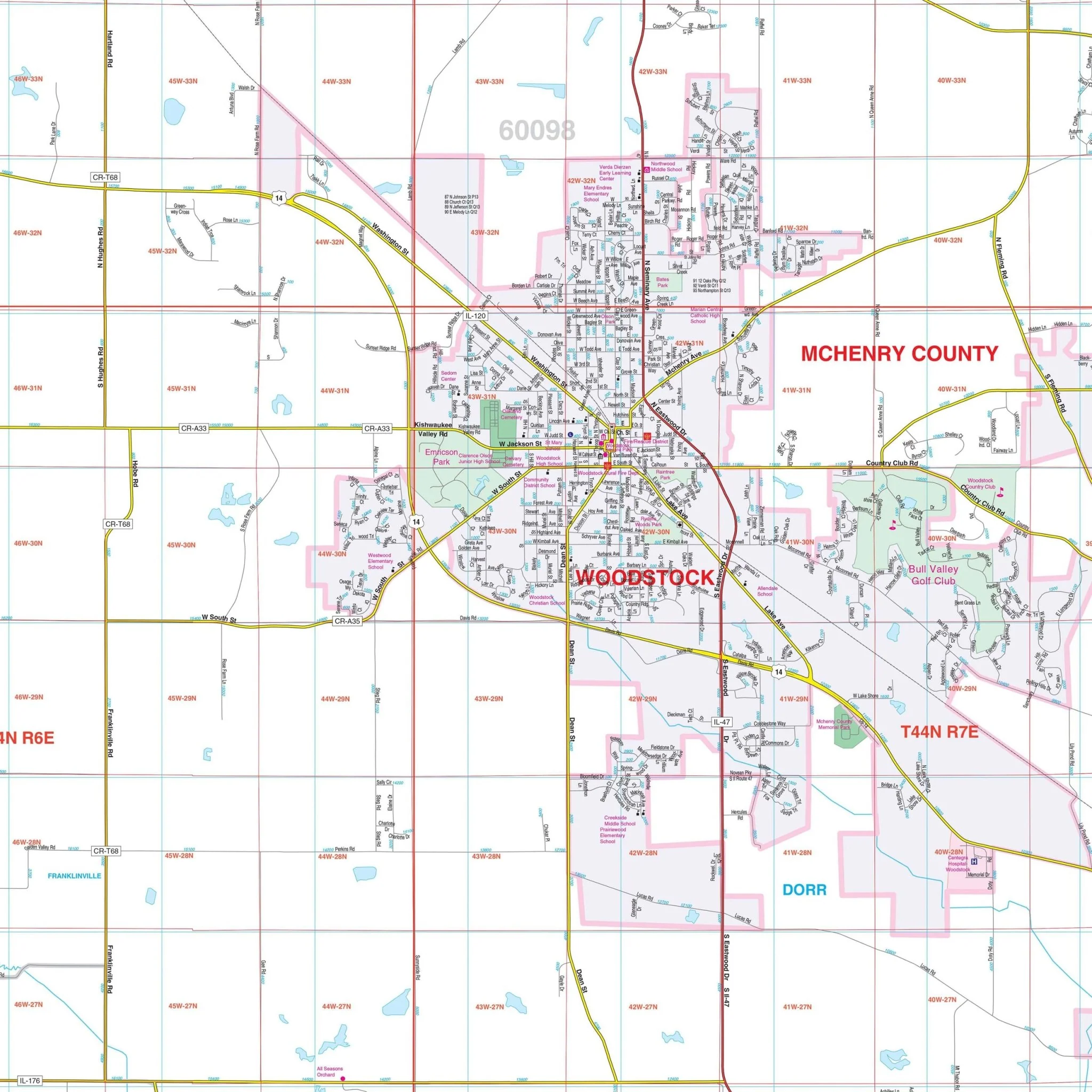
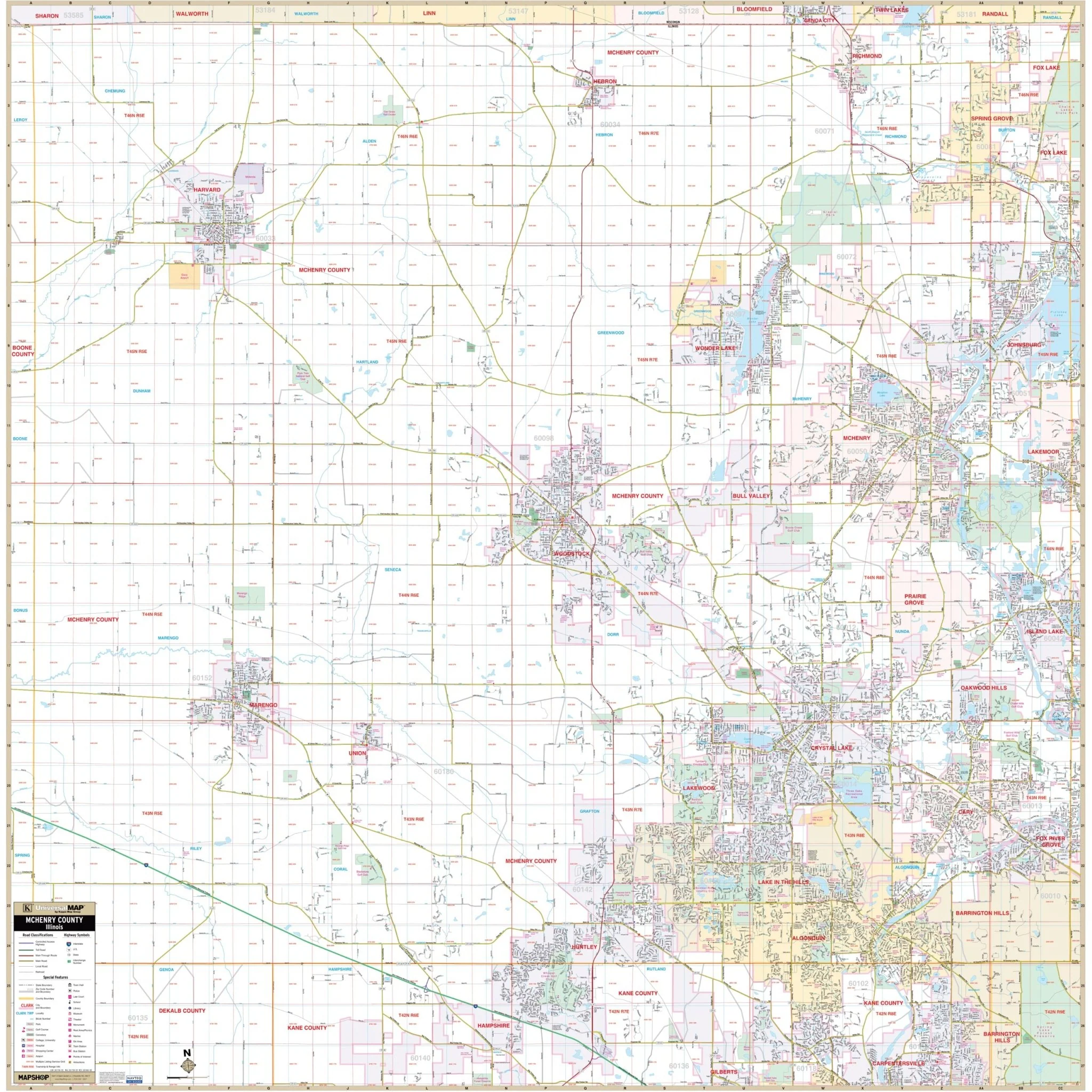
Discover the McHenry County, IL Wall Map, an invaluable resource for navigating the region with precision and clarity. Covering all of McHenry County and its neighboring areas, this map boasts an expansive reach.
Boundaries that define this map's extensive coverage include:
- To the north, it extends to the Illinois-Wisconsin State line.
- Heading south, it includes locales such as Huntley and Algonquin, which are part of Kane County.
- In the east, it stretches to the McHenry-Lake County line.
- And to the west, it reaches the McHenry-Boone County line.
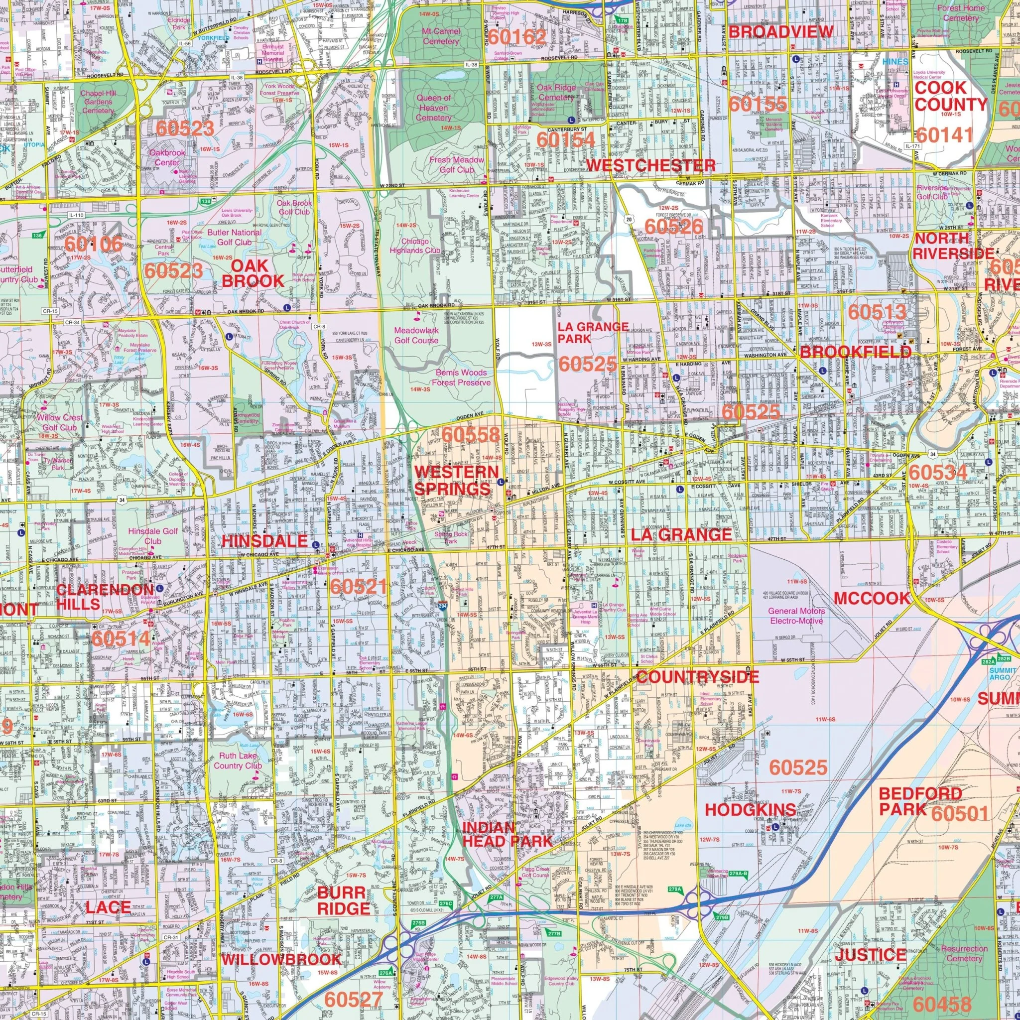
This comprehensive map offers a wealth of essential information, including the locations of airports, block numbers, cemeteries, city limits, educational institutions, fire and police stations, golf and country clubs, government buildings, hospitals, libraries, post offices, railroads, recreational parks, section-township-and-range lines, shopping centers, streets and highways, water features, and zip code boundaries. Whether you're a resident, business owner, or visitor, this map provides a clear and detailed overview of McHenry County and its surroundings, enhancing your understanding of the area's geography and infrastructure.
Size: 54" x 54.5"
Published: 2000
Original: $139.99
-70%$139.99
$42.00Product Information
Product Information
Shipping & Returns
Shipping & Returns
Description
Discover the McHenry County, IL Wall Map, an invaluable resource for navigating the region with precision and clarity. Covering all of McHenry County and its neighboring areas, this map boasts an expansive reach.
Boundaries that define this map's extensive coverage include:
- To the north, it extends to the Illinois-Wisconsin State line.
- Heading south, it includes locales such as Huntley and Algonquin, which are part of Kane County.
- In the east, it stretches to the McHenry-Lake County line.
- And to the west, it reaches the McHenry-Boone County line.
This comprehensive map offers a wealth of essential information, including the locations of airports, block numbers, cemeteries, city limits, educational institutions, fire and police stations, golf and country clubs, government buildings, hospitals, libraries, post offices, railroads, recreational parks, section-township-and-range lines, shopping centers, streets and highways, water features, and zip code boundaries. Whether you're a resident, business owner, or visitor, this map provides a clear and detailed overview of McHenry County and its surroundings, enhancing your understanding of the area's geography and infrastructure.
Size: 54" x 54.5"
Published: 2000