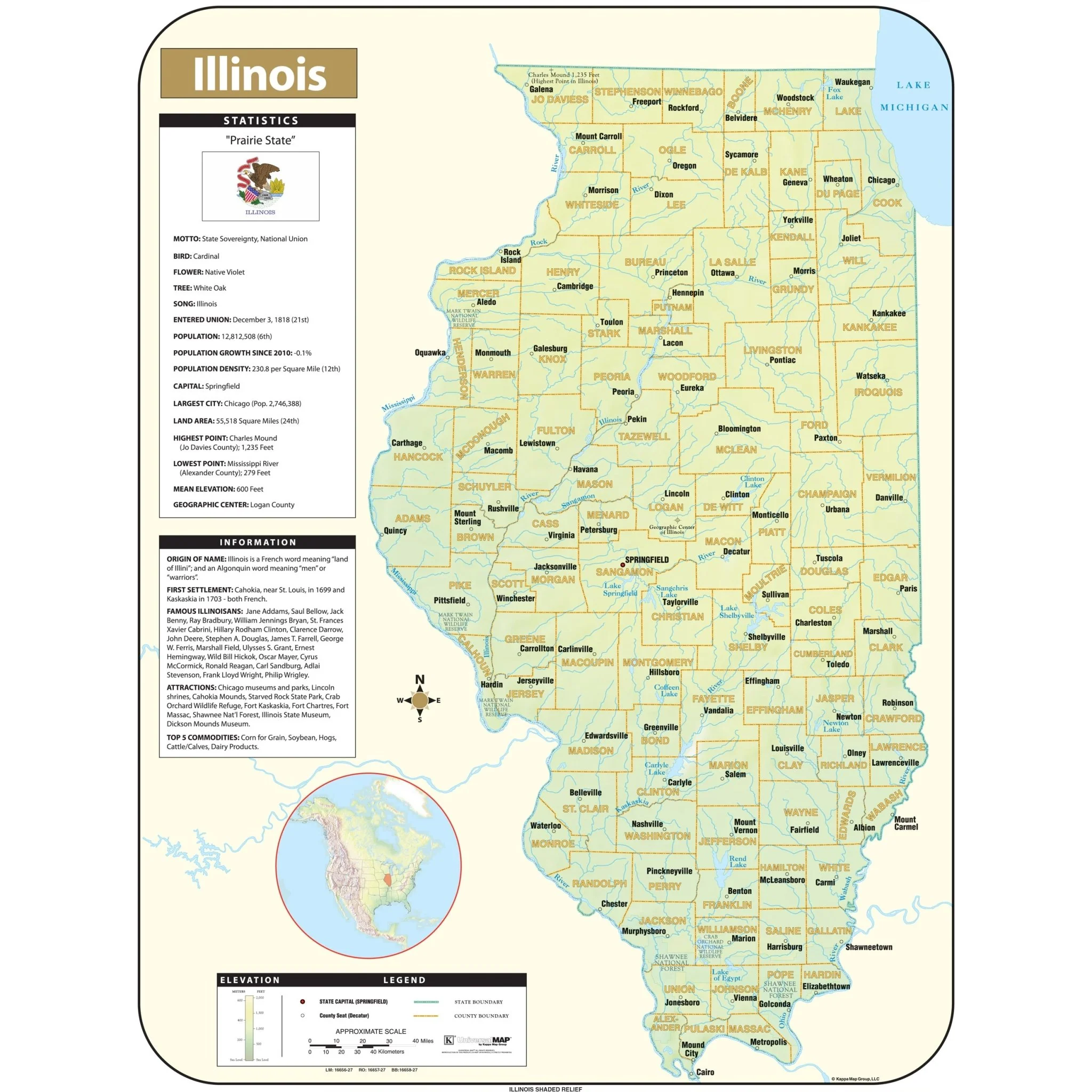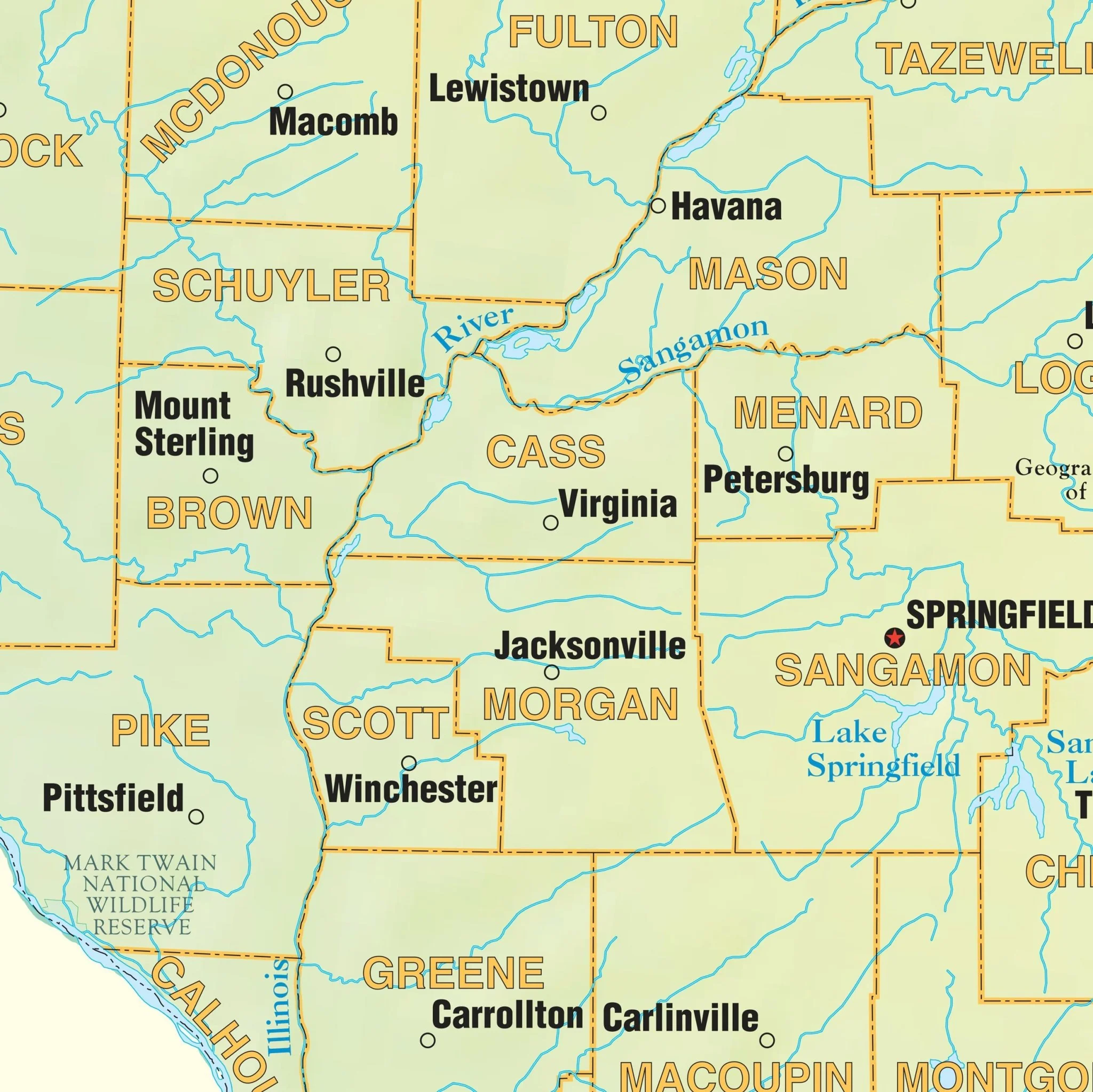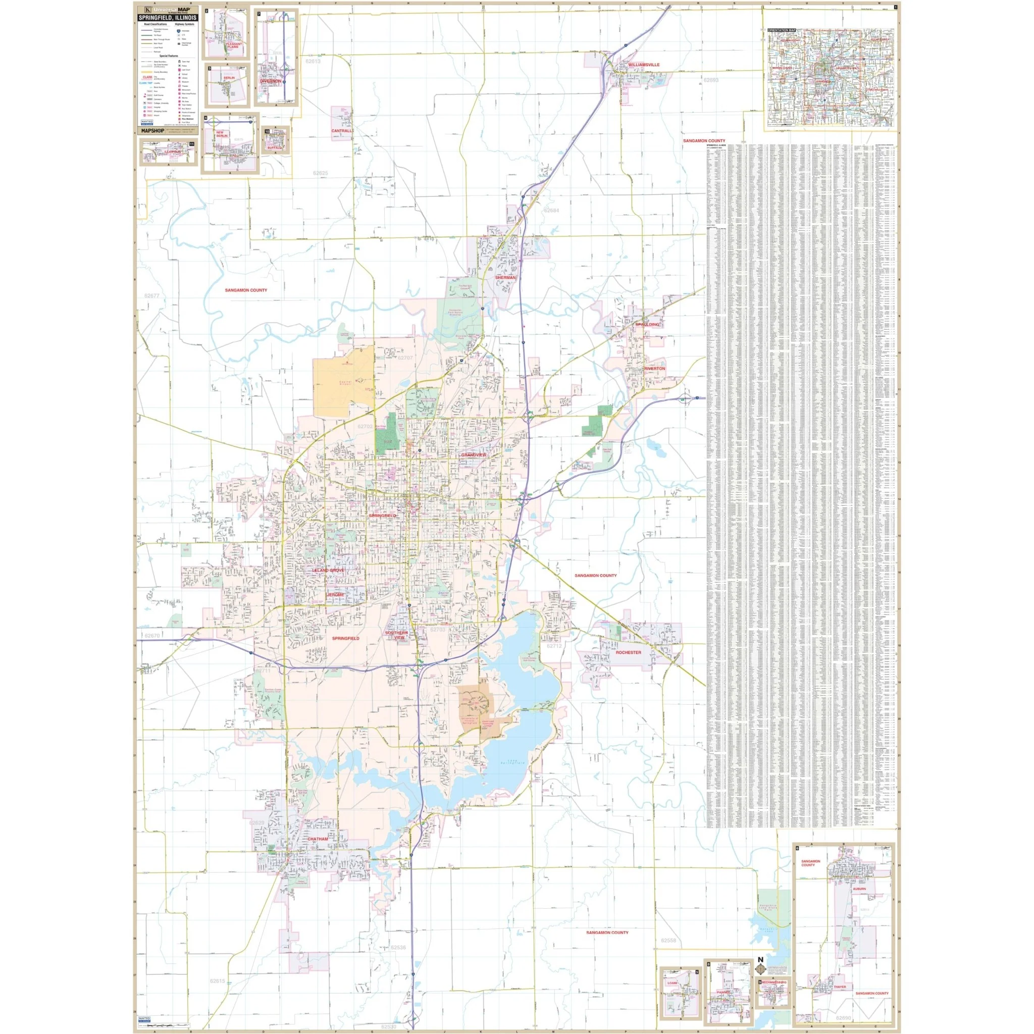


Springfield, IL Wall Map
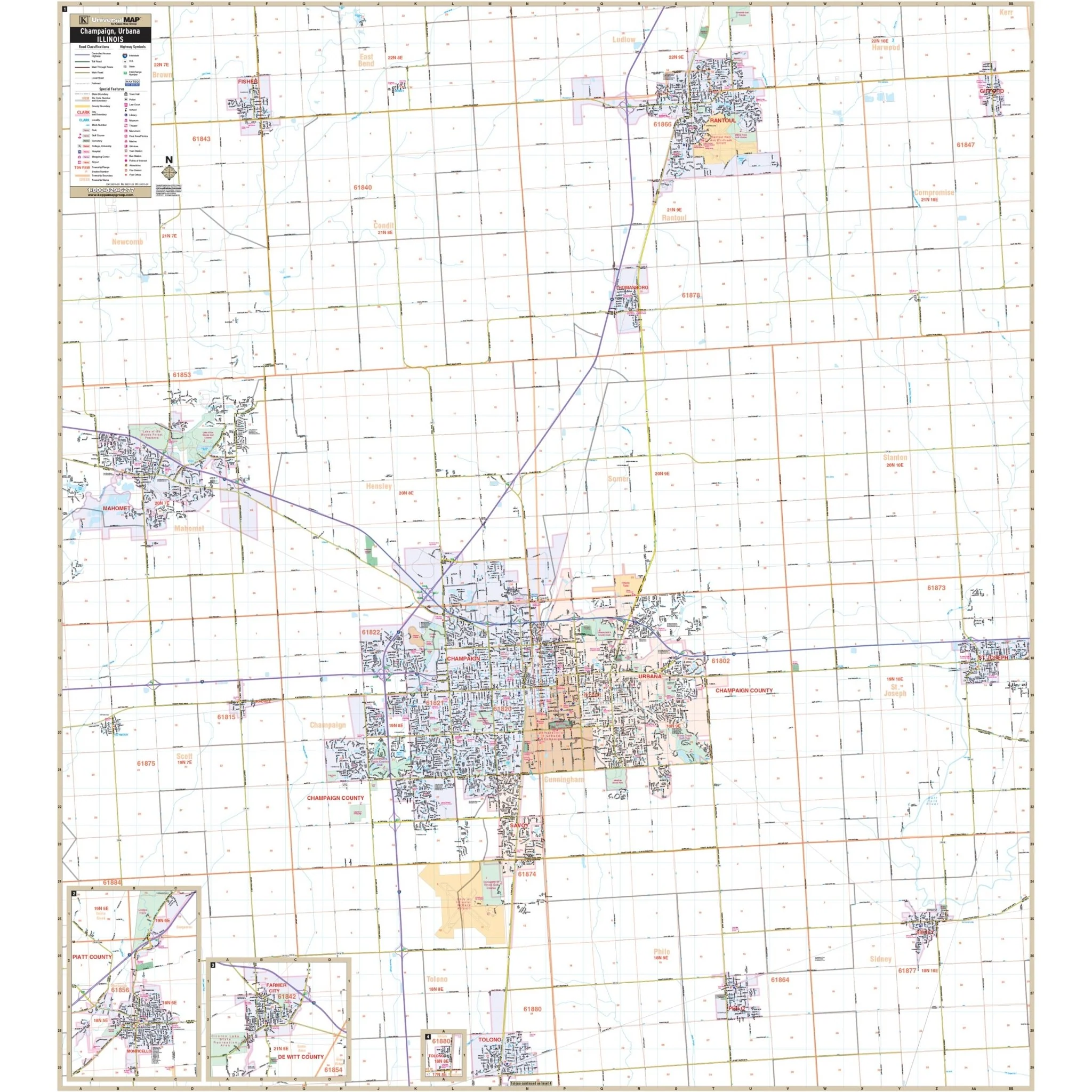
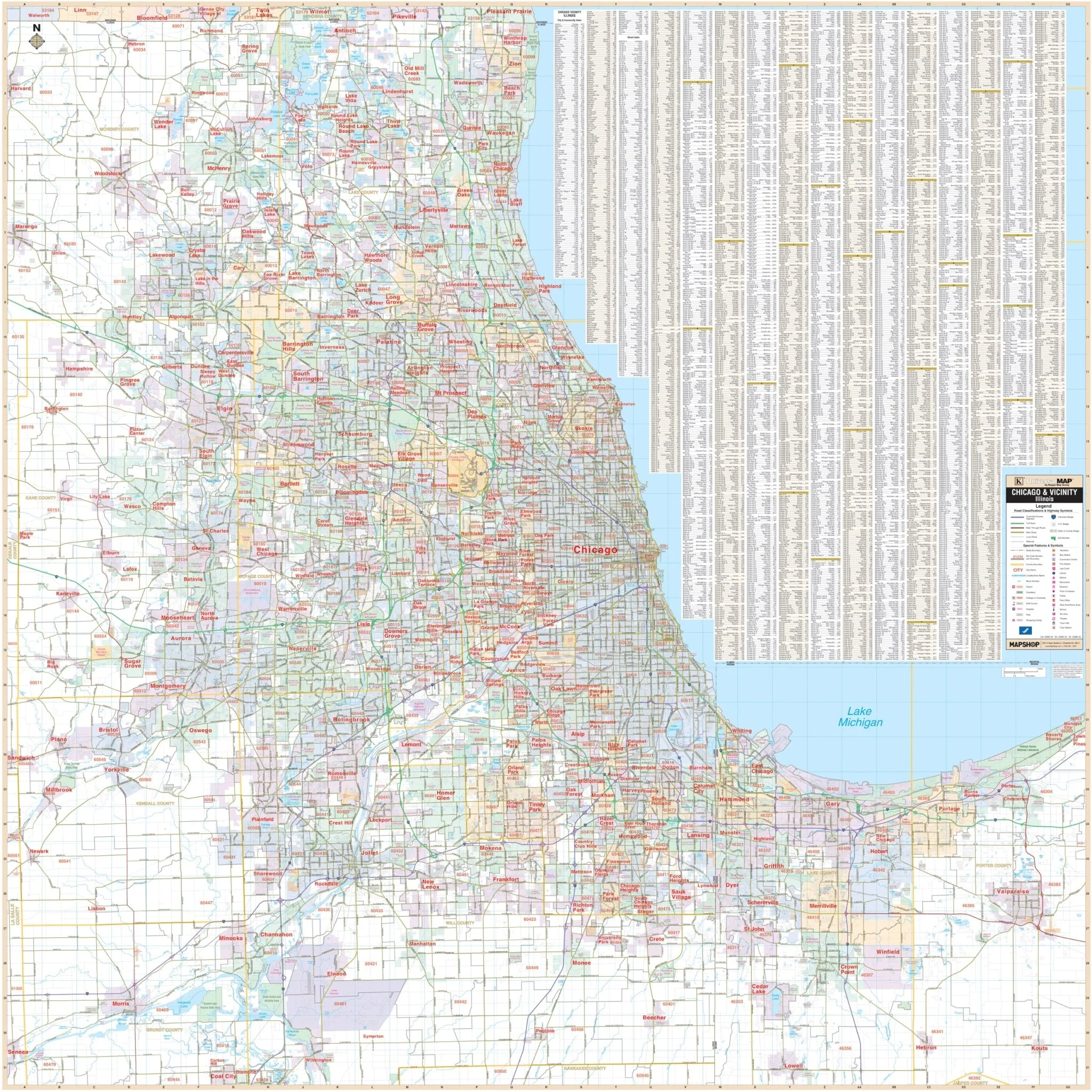
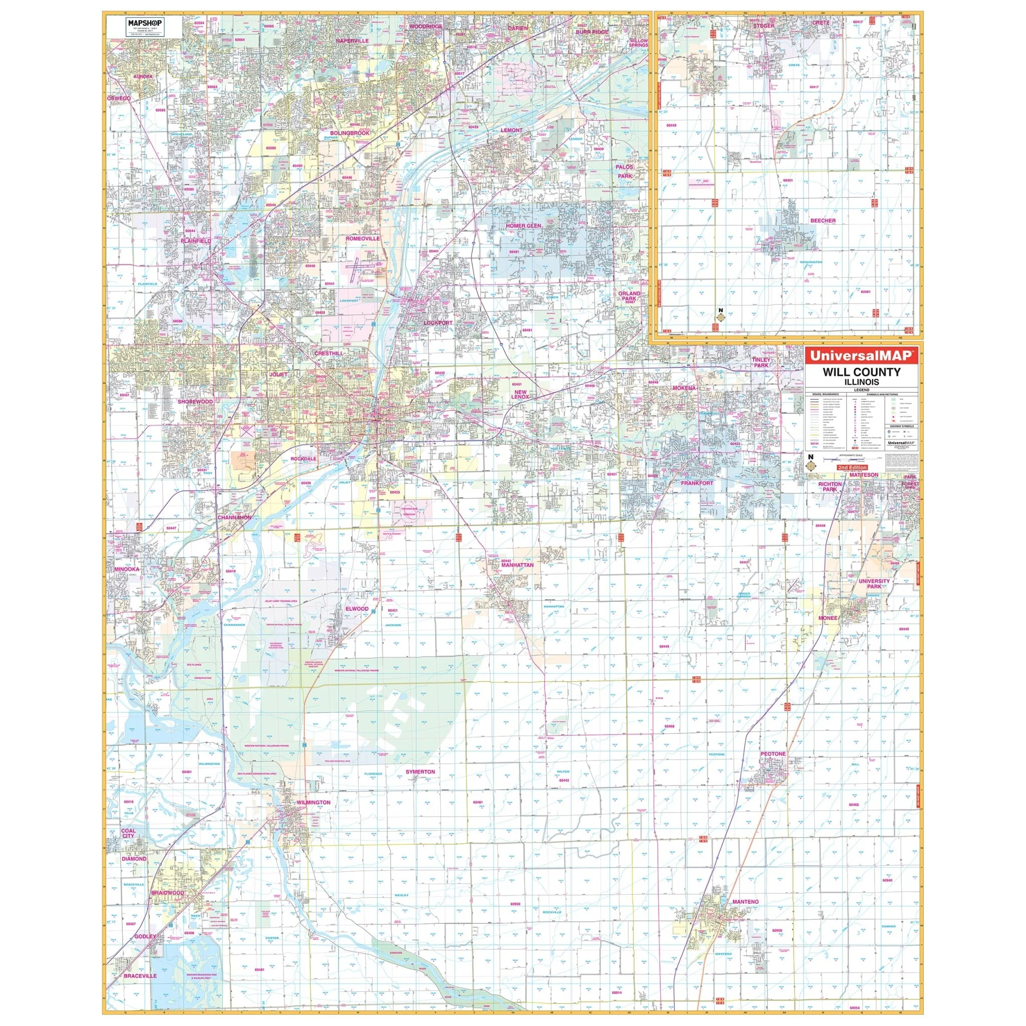
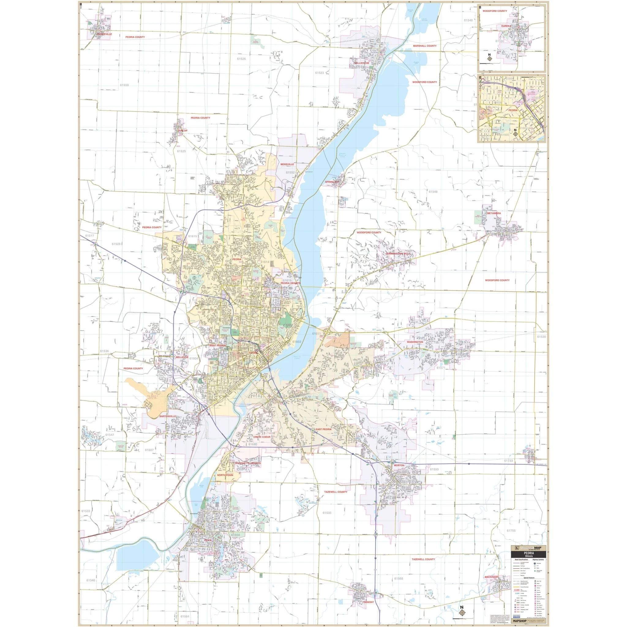
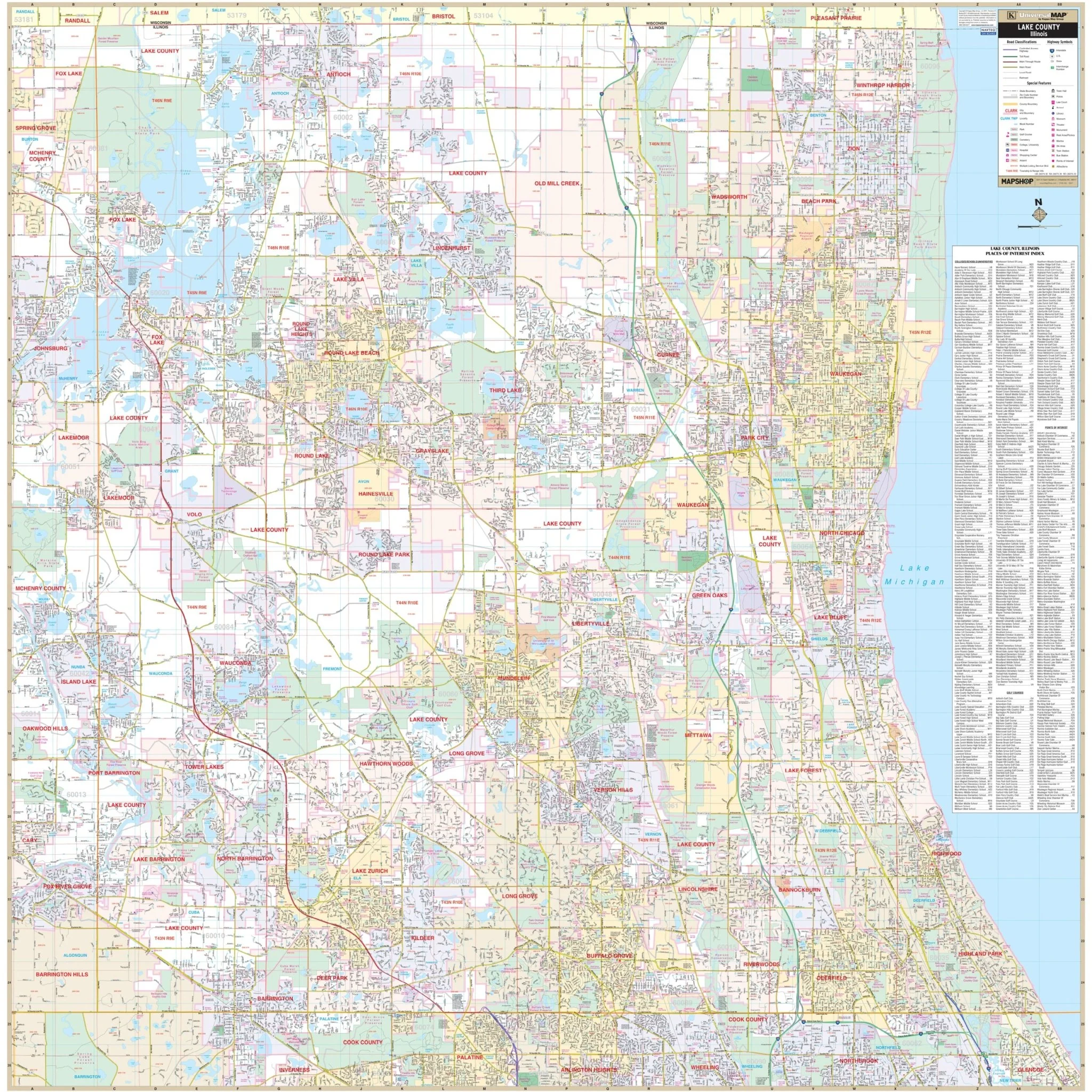
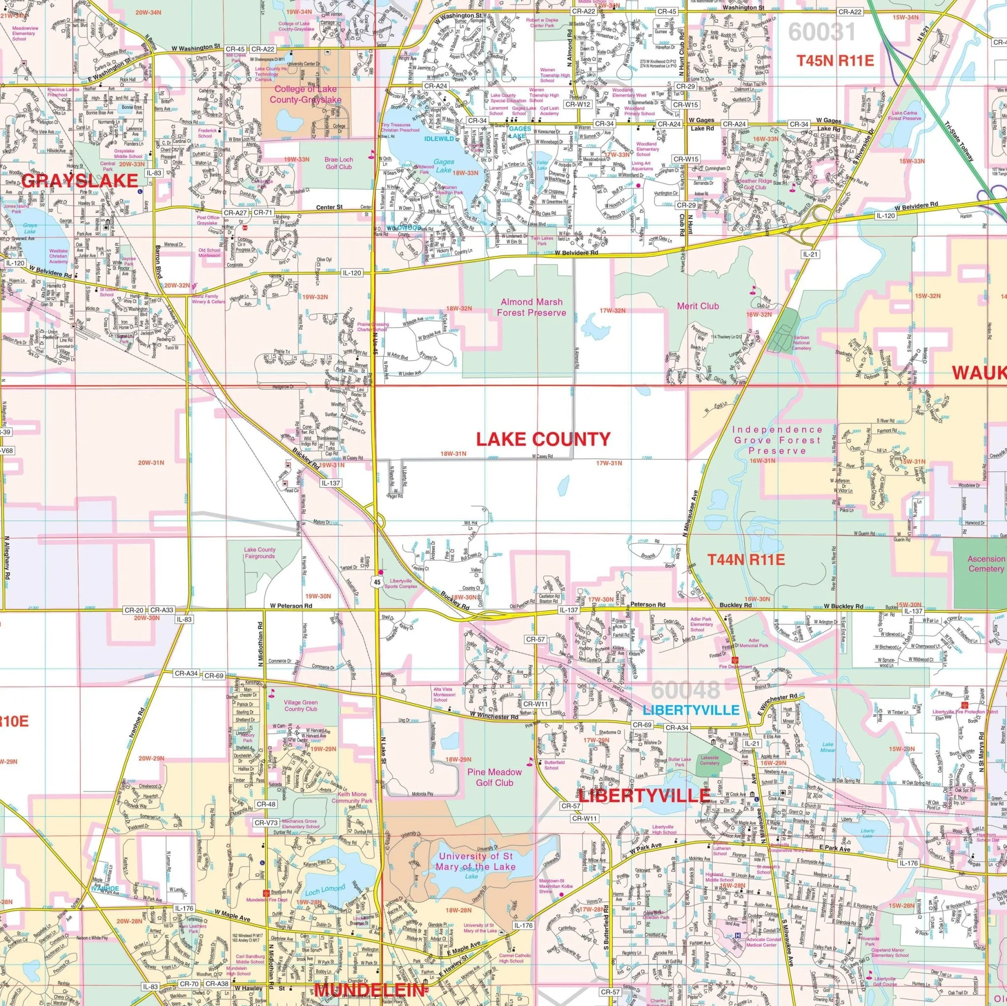
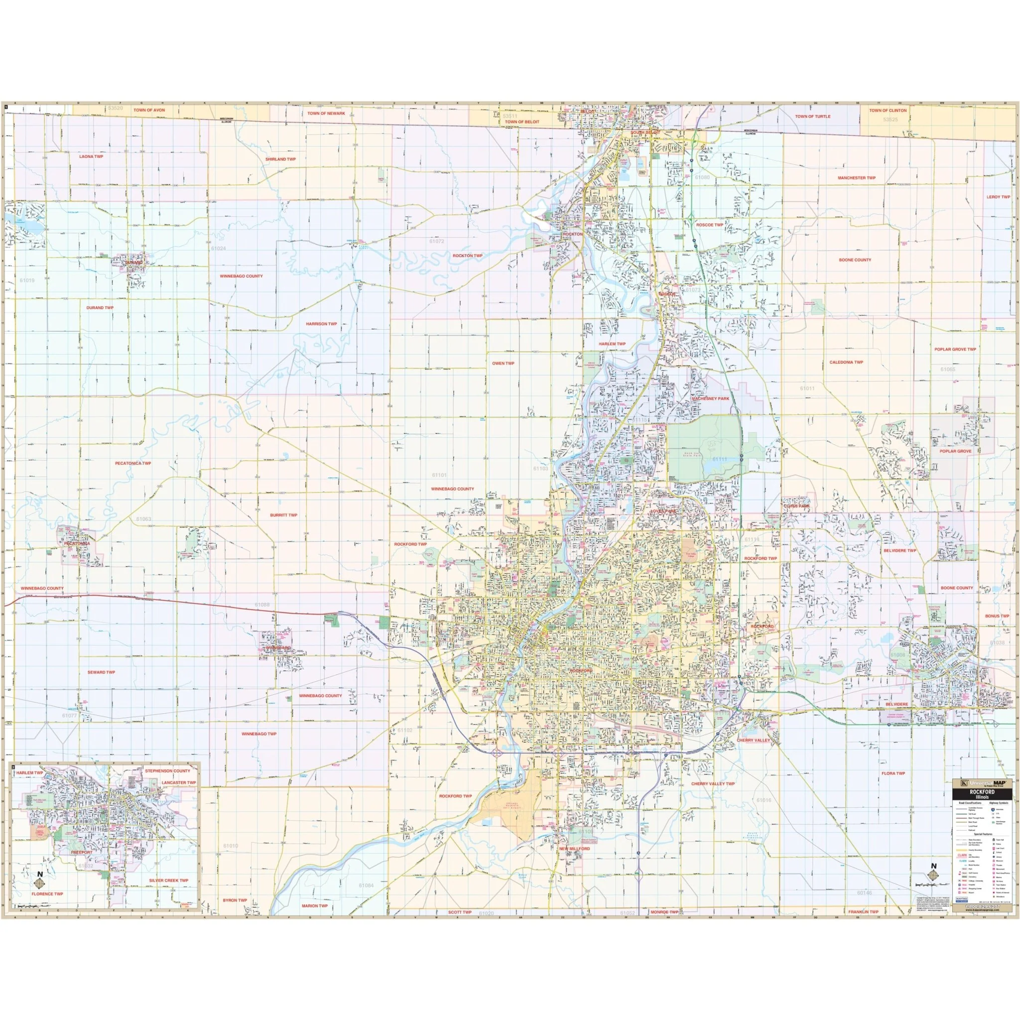
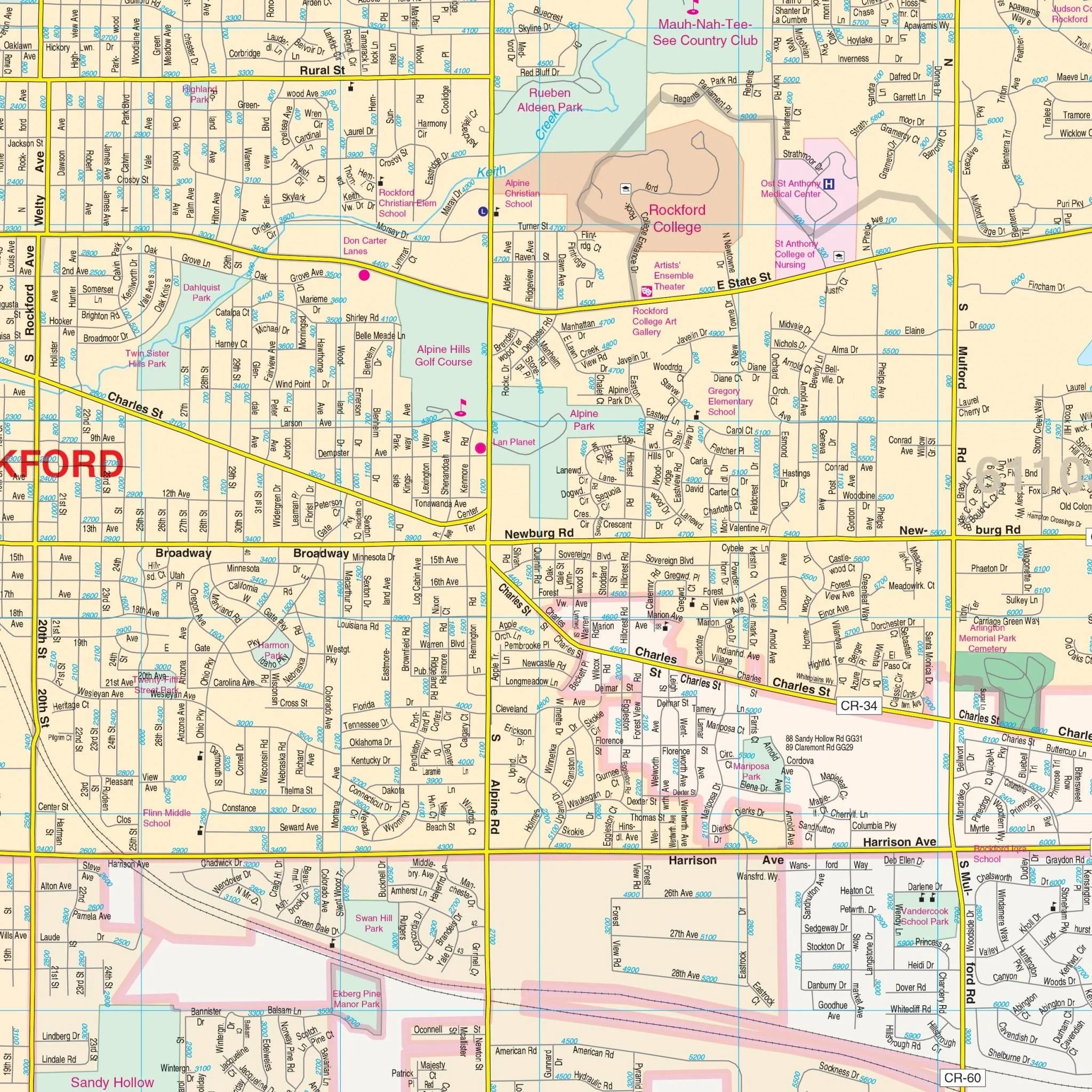
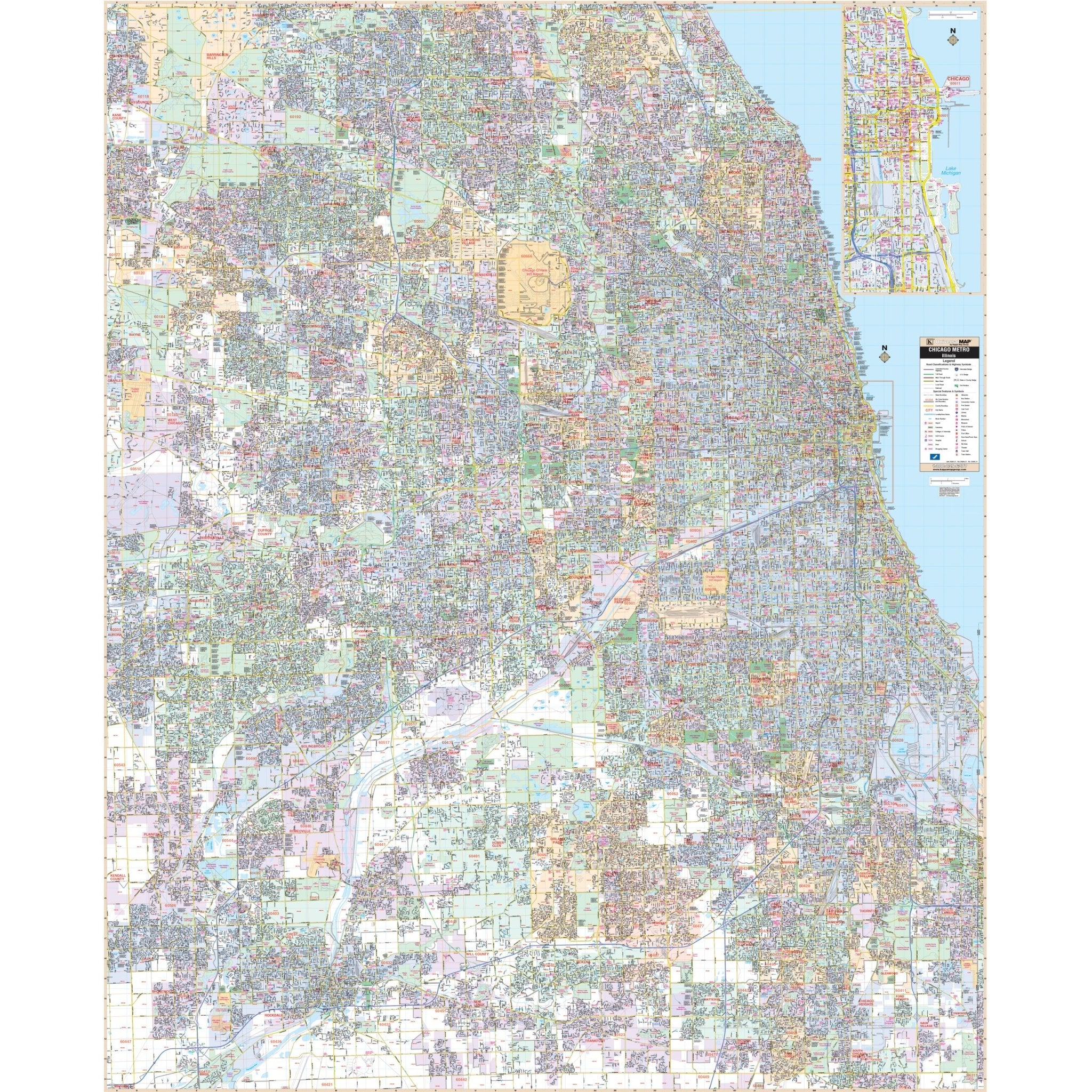
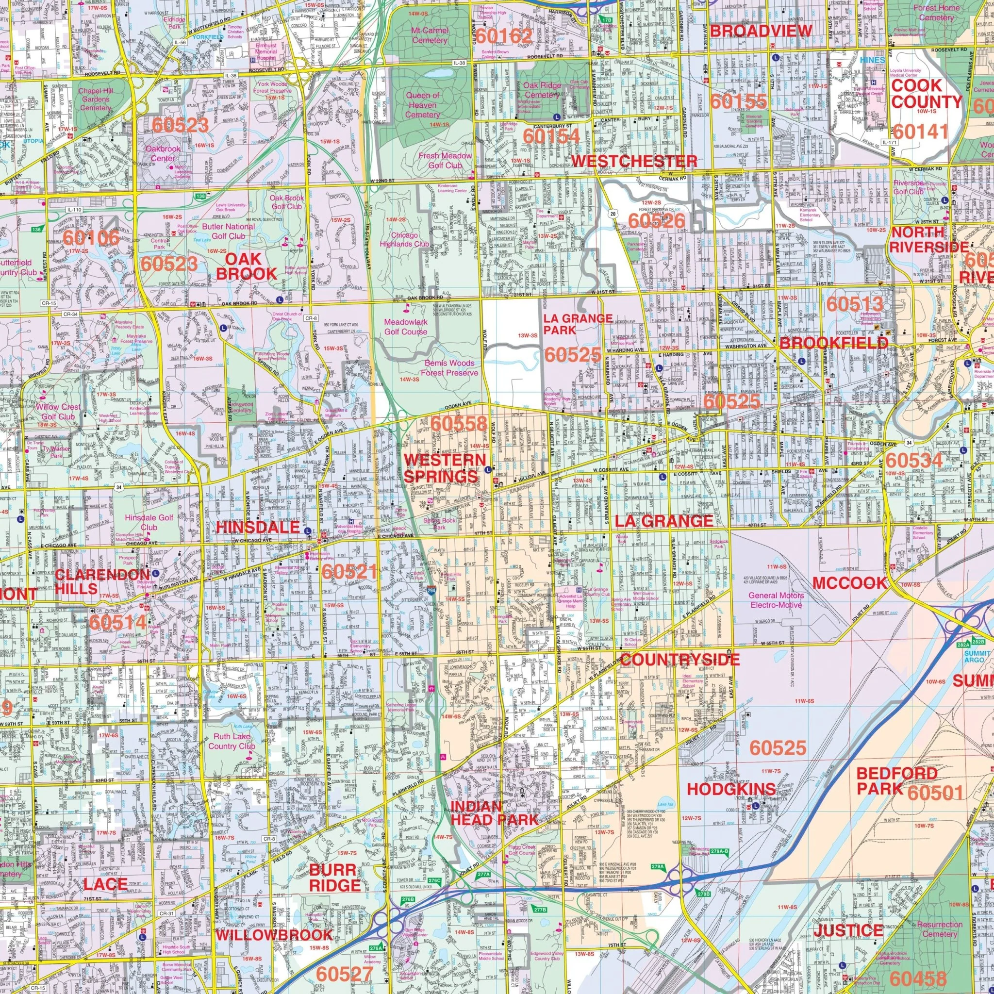
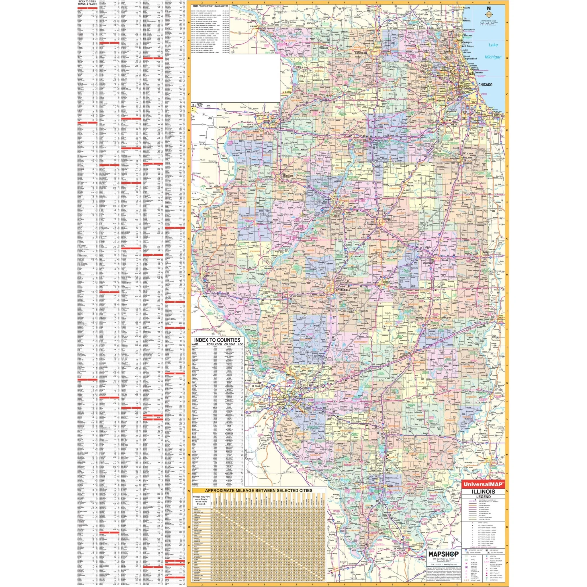
Explore the Springfield, IL Wall Map, a comprehensive tool that provides detailed street-level information to help you navigate the city and its surrounding areas. Covering the entirety of Springfield, this map offers valuable insights into the local geography and infrastructure, making it an essential resource for residents and visitors alike.
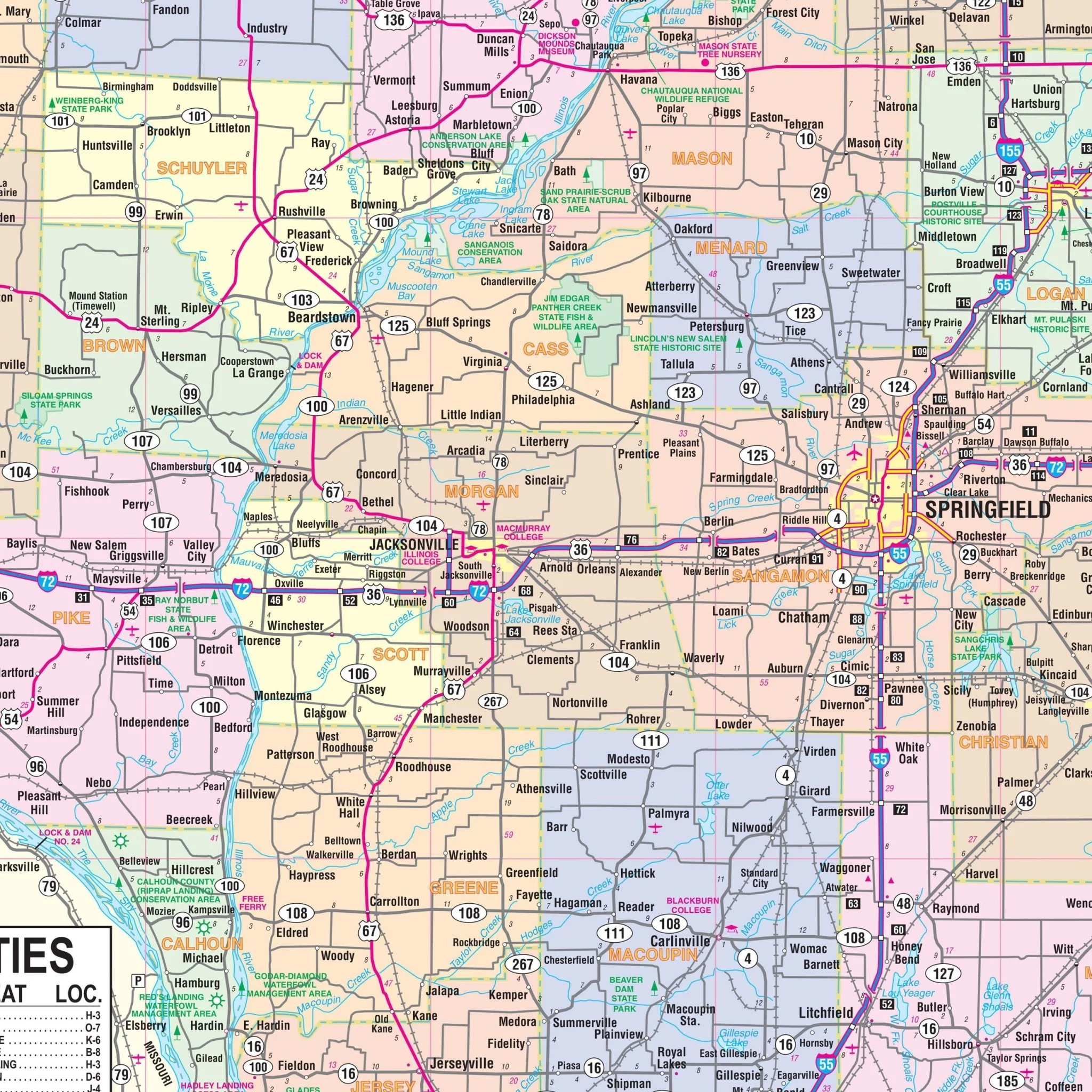
The coverage area of this map extends to the following boundaries:
- To the north, it includes Williamsville and the Sangamon County line.
- Heading south, it reaches Chatham.
- In the east, it encompasses Spaulding, Riverton, and Rochester.
- And to the west, it extends to Curran Road.
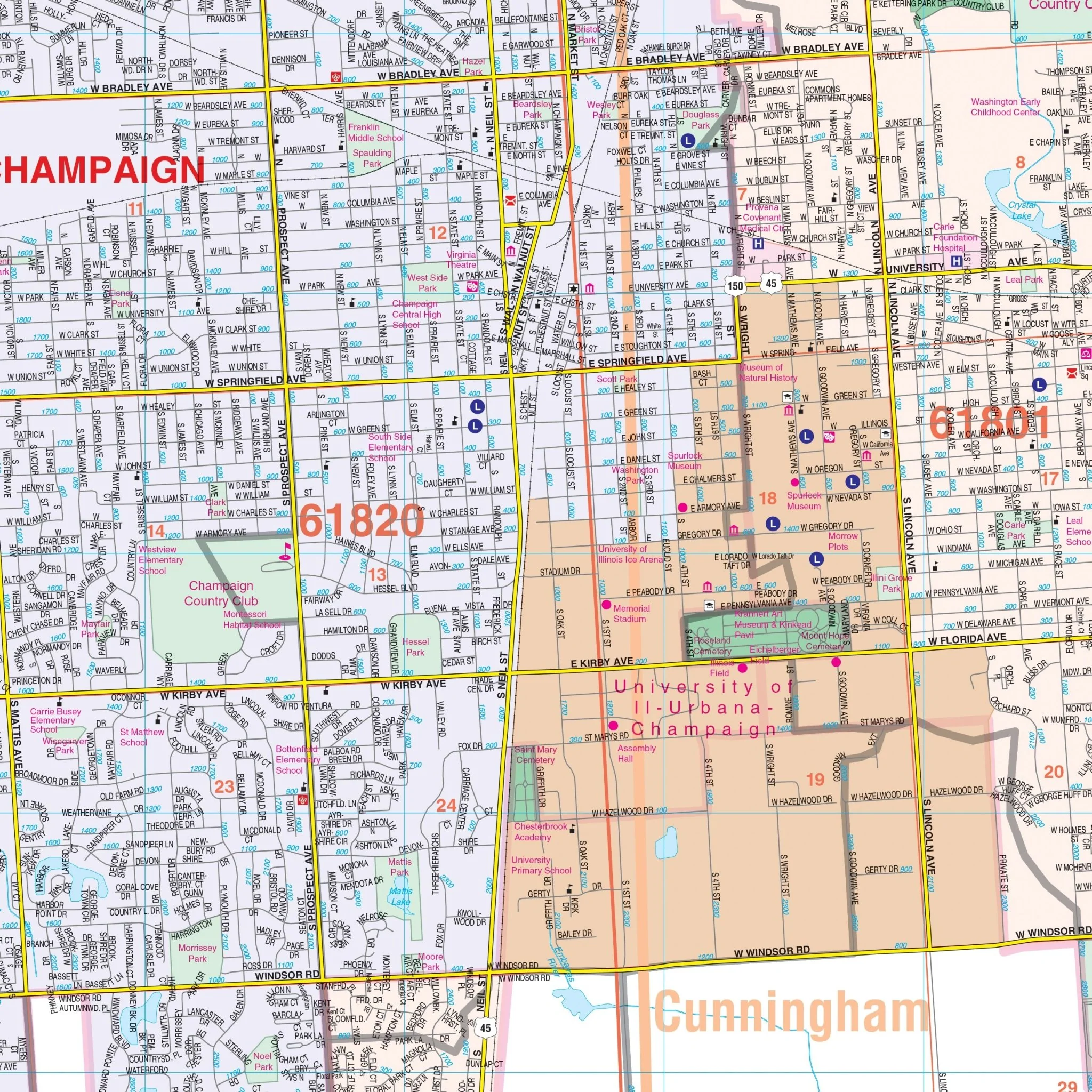
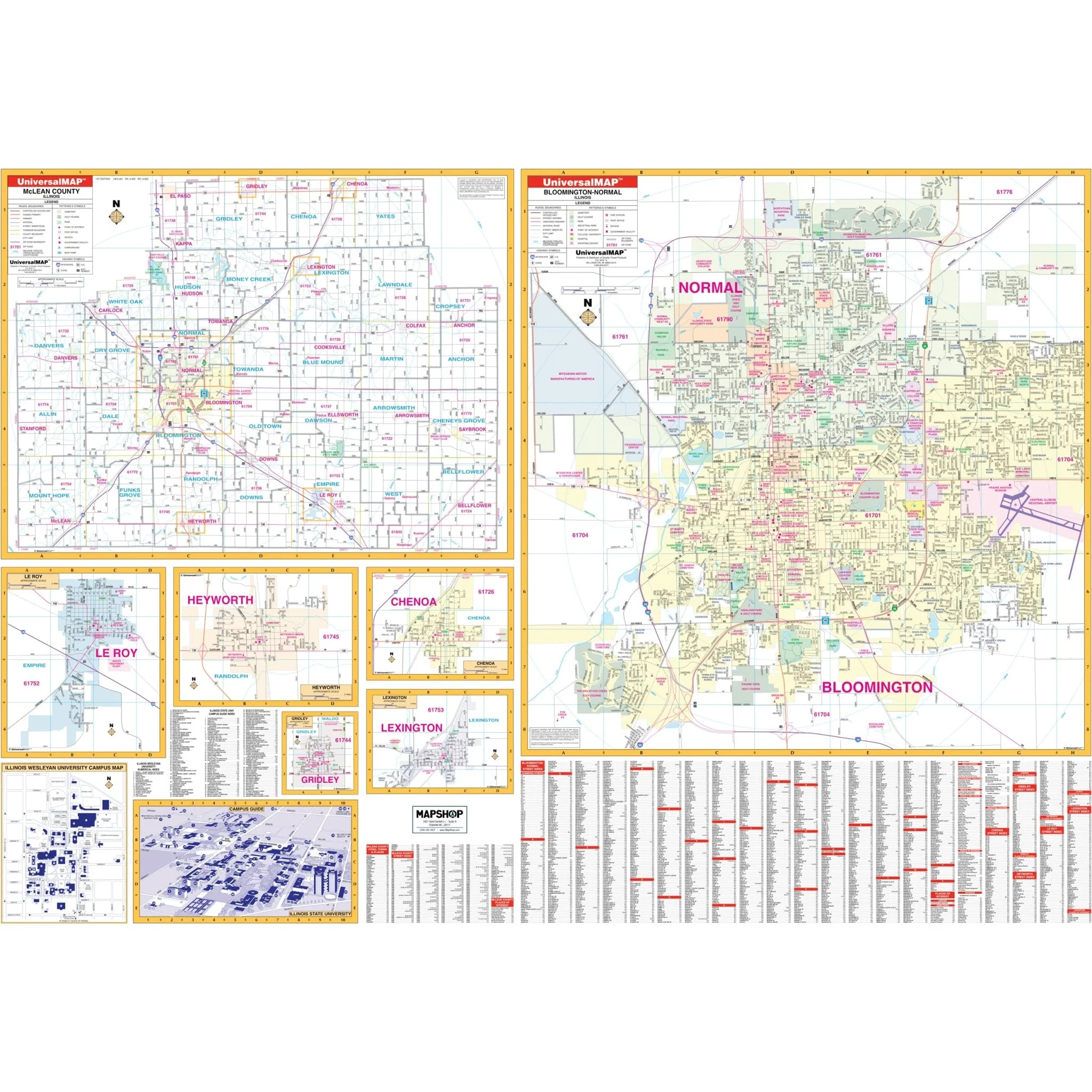
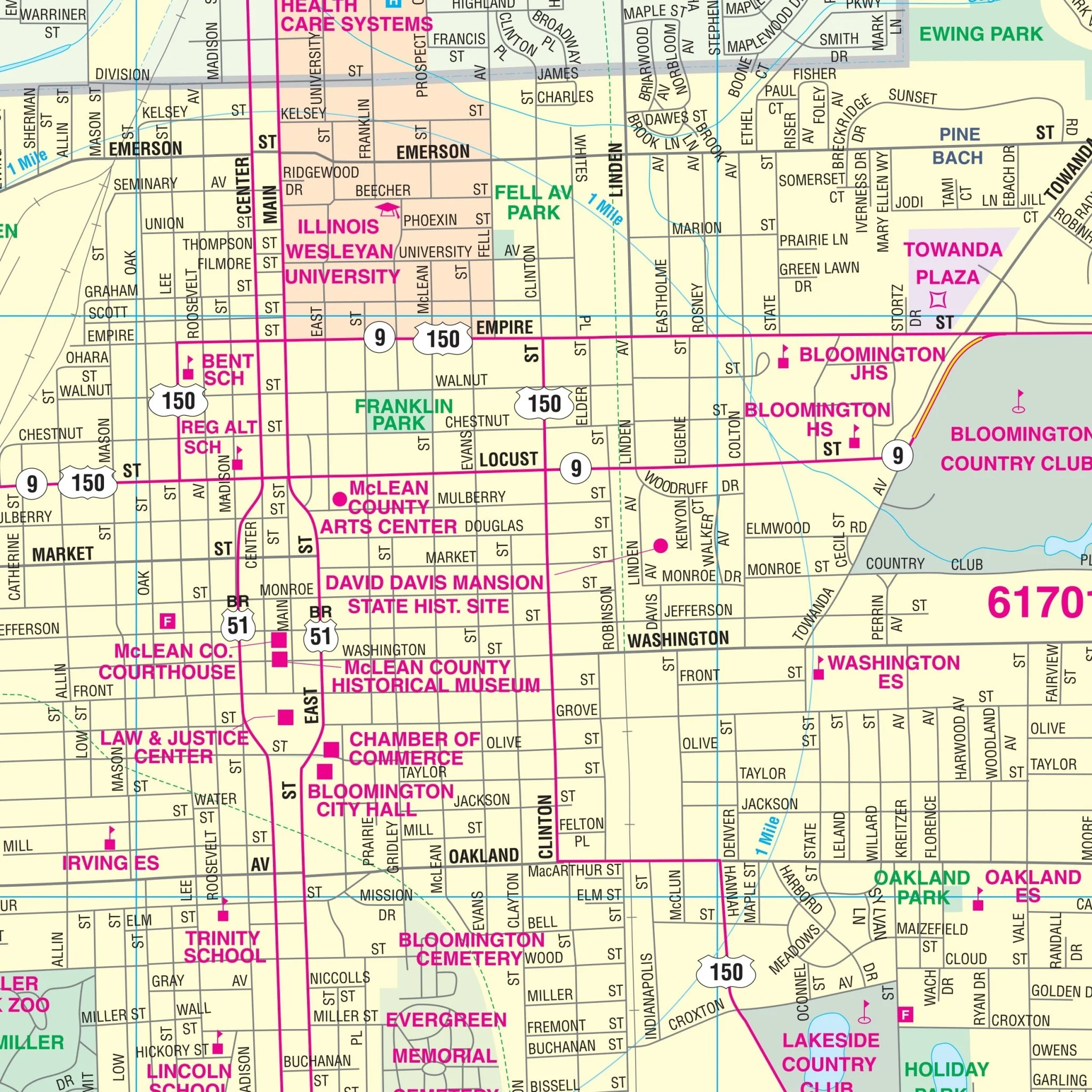
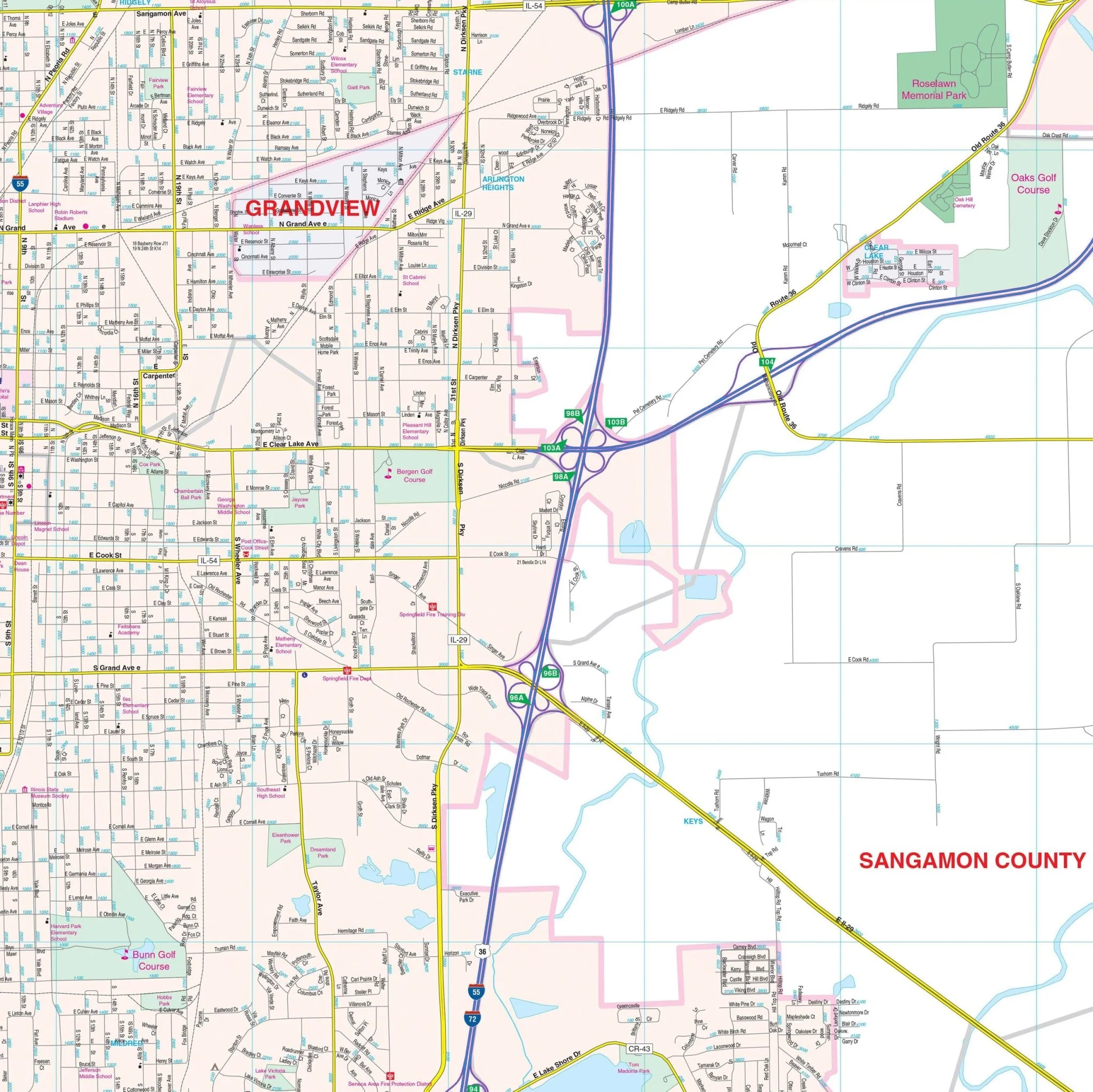
This detailed map provides a wealth of essential information, including the locations of airports, block numbers, cemeteries, city limits, educational institutions, fire and police stations, golf and country clubs, government buildings, hospitals, libraries, points of interest, railroads, recreational parks, shopping centers, streets and highways, water features, and zip code boundaries. Additionally, the map includes insets of various nearby towns and a larger area map of Sangamon County, enhancing its usefulness for a wide range of purposes.
Size: 54" x 72"
Published: 2013
Original: $149.99
-70%$149.99
$45.00Product Information
Product Information
Shipping & Returns
Shipping & Returns
Description
Explore the Springfield, IL Wall Map, a comprehensive tool that provides detailed street-level information to help you navigate the city and its surrounding areas. Covering the entirety of Springfield, this map offers valuable insights into the local geography and infrastructure, making it an essential resource for residents and visitors alike.
The coverage area of this map extends to the following boundaries:
- To the north, it includes Williamsville and the Sangamon County line.
- Heading south, it reaches Chatham.
- In the east, it encompasses Spaulding, Riverton, and Rochester.
- And to the west, it extends to Curran Road.
This detailed map provides a wealth of essential information, including the locations of airports, block numbers, cemeteries, city limits, educational institutions, fire and police stations, golf and country clubs, government buildings, hospitals, libraries, points of interest, railroads, recreational parks, shopping centers, streets and highways, water features, and zip code boundaries. Additionally, the map includes insets of various nearby towns and a larger area map of Sangamon County, enhancing its usefulness for a wide range of purposes.
Size: 54" x 72"
Published: 2013