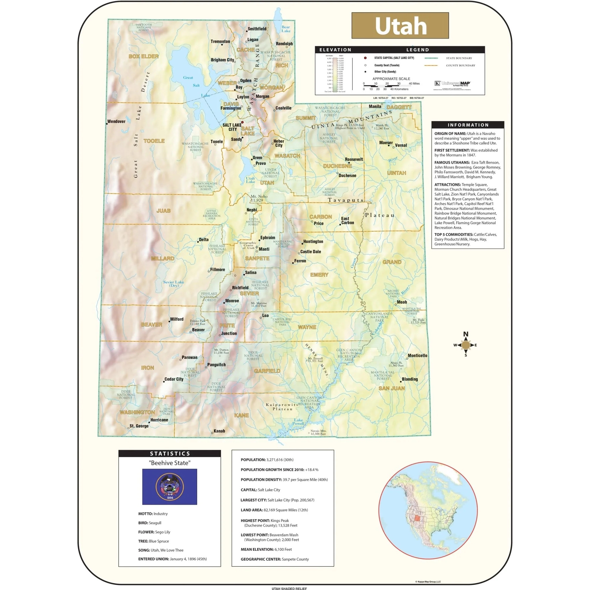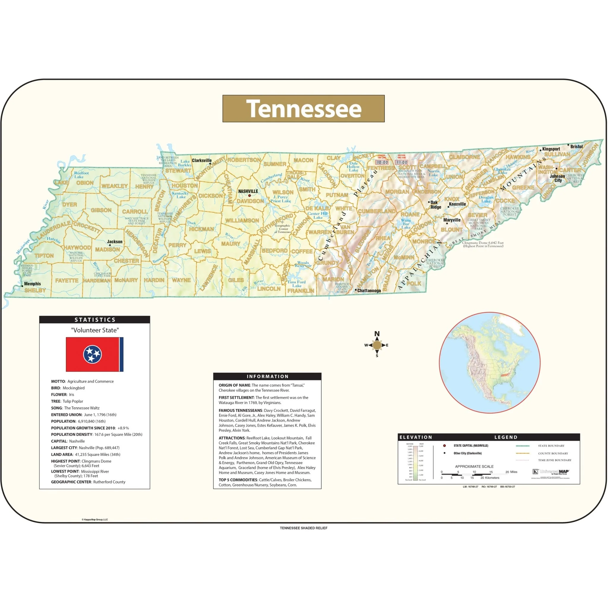


New England Shaded Relief Regional Wall Map
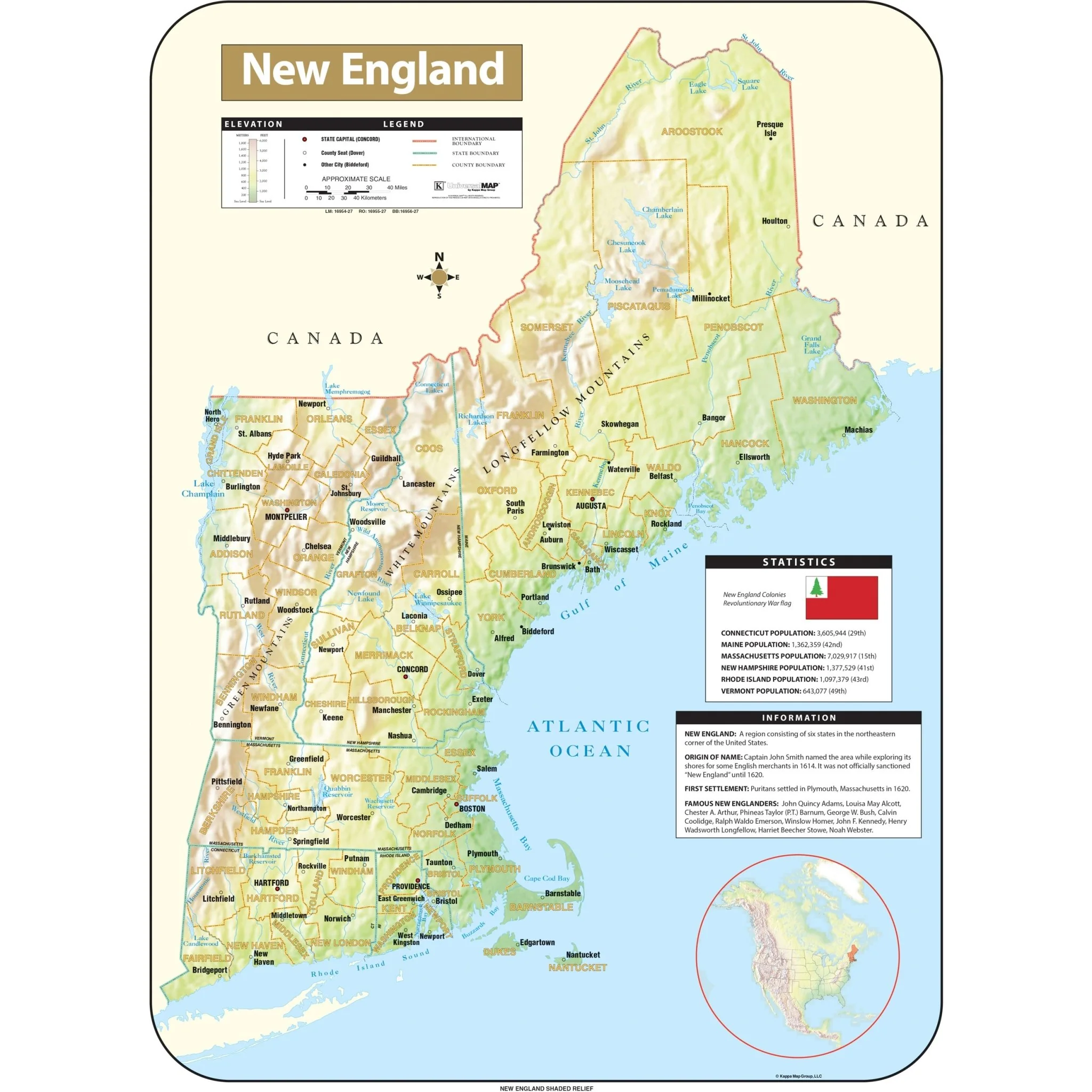
The New England Shaded Relief Topographical Wall Map by Universal Map includes the following features:
- An elevation scale measured in meters and feet
- A distance scale measured in miles and kilometers
- National boundaries
- Capitals
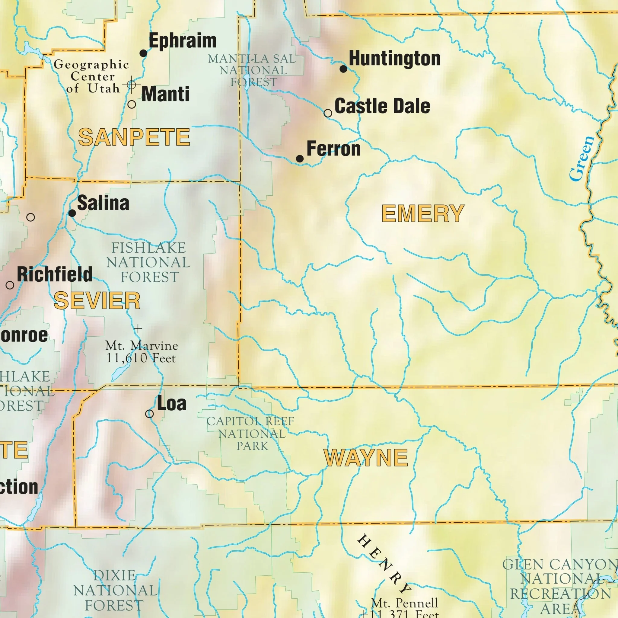
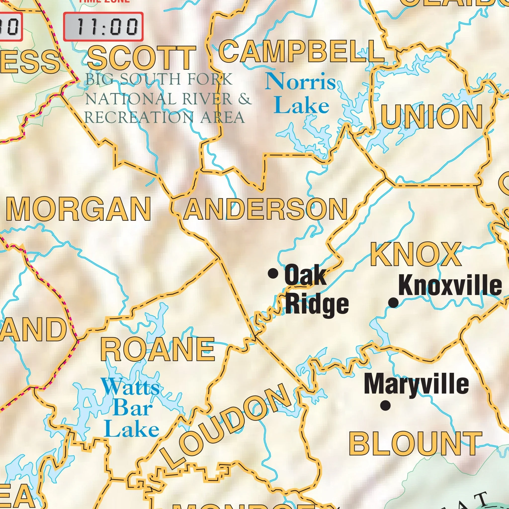
- Cities
- Mountain peaks
- Latitude/longitude lines
- The Tropic of Cancer
Sizes: 54" x 64" | 42" x 49.8" | 28" x 38"
Published: 2013
Select Map Size
Select Map Finish
From $27.00
Original: $89.99
-70%New England Shaded Relief Regional Wall Map—
$89.99
$27.00Product Information
Product Information
Shipping & Returns
Shipping & Returns
Description
The New England Shaded Relief Topographical Wall Map by Universal Map includes the following features:
- An elevation scale measured in meters and feet
- A distance scale measured in miles and kilometers
- National boundaries
- Capitals
- Cities
- Mountain peaks
- Latitude/longitude lines
- The Tropic of Cancer
Sizes: 54" x 64" | 42" x 49.8" | 28" x 38"
Published: 2013