


Northern Kentucky Regional Wall Map
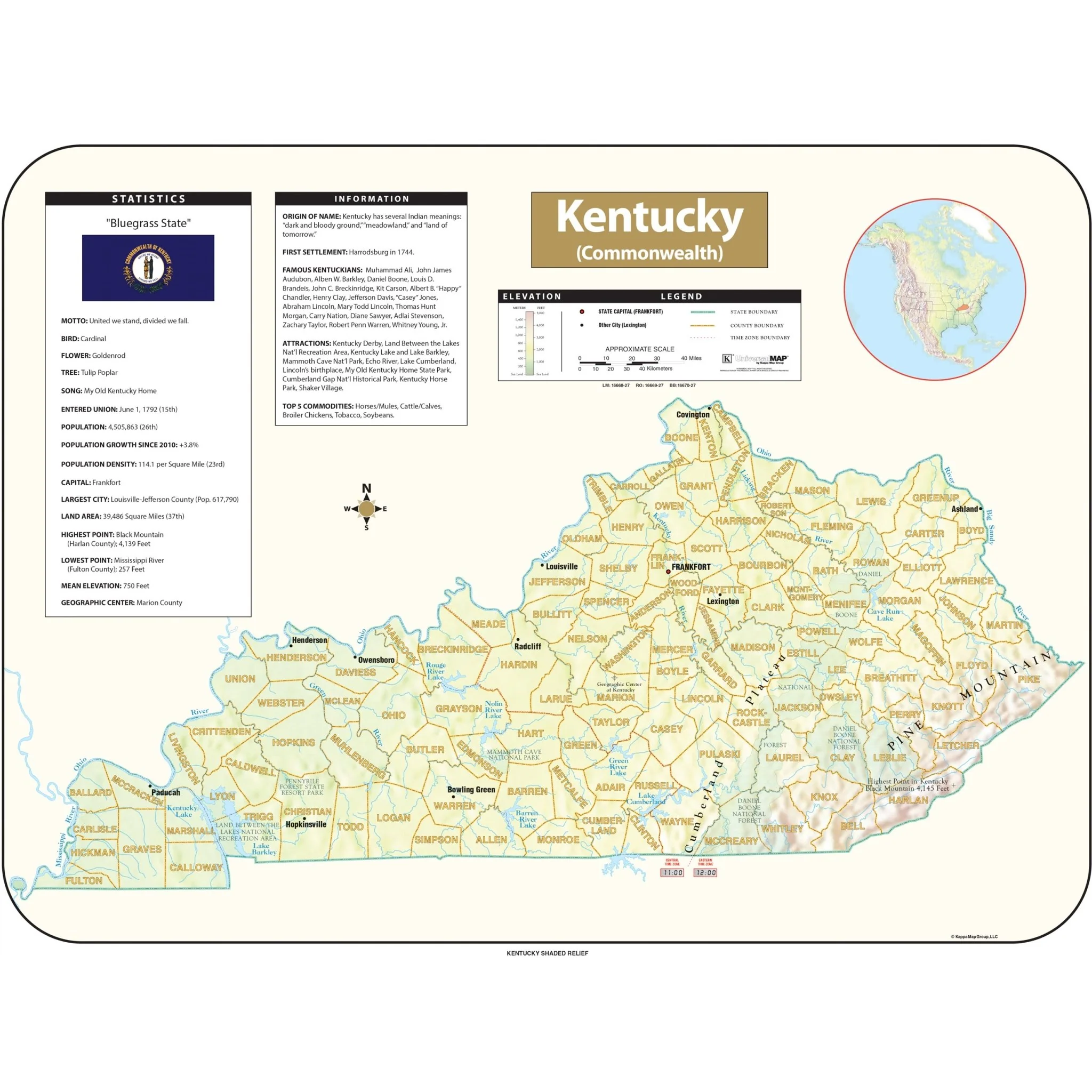
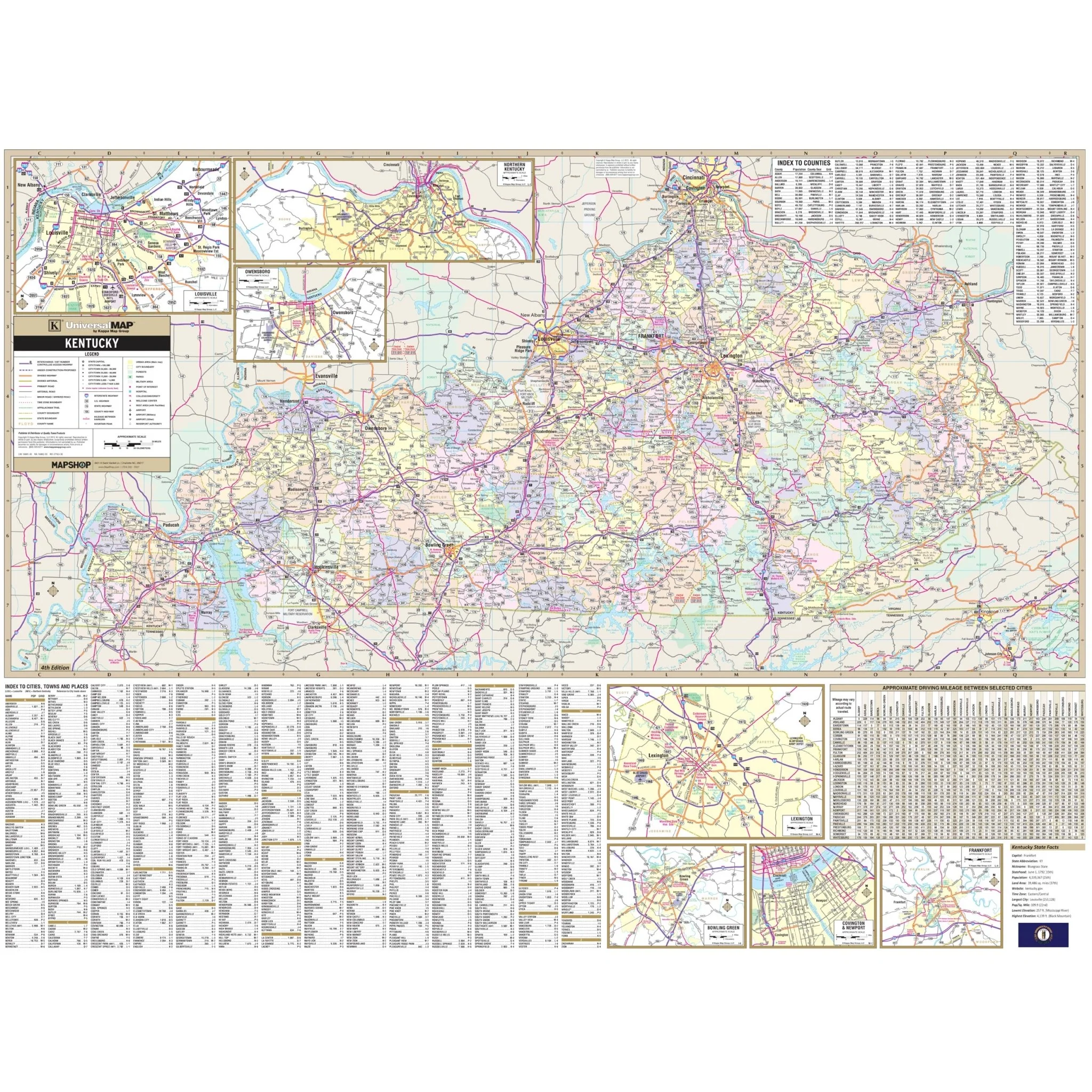
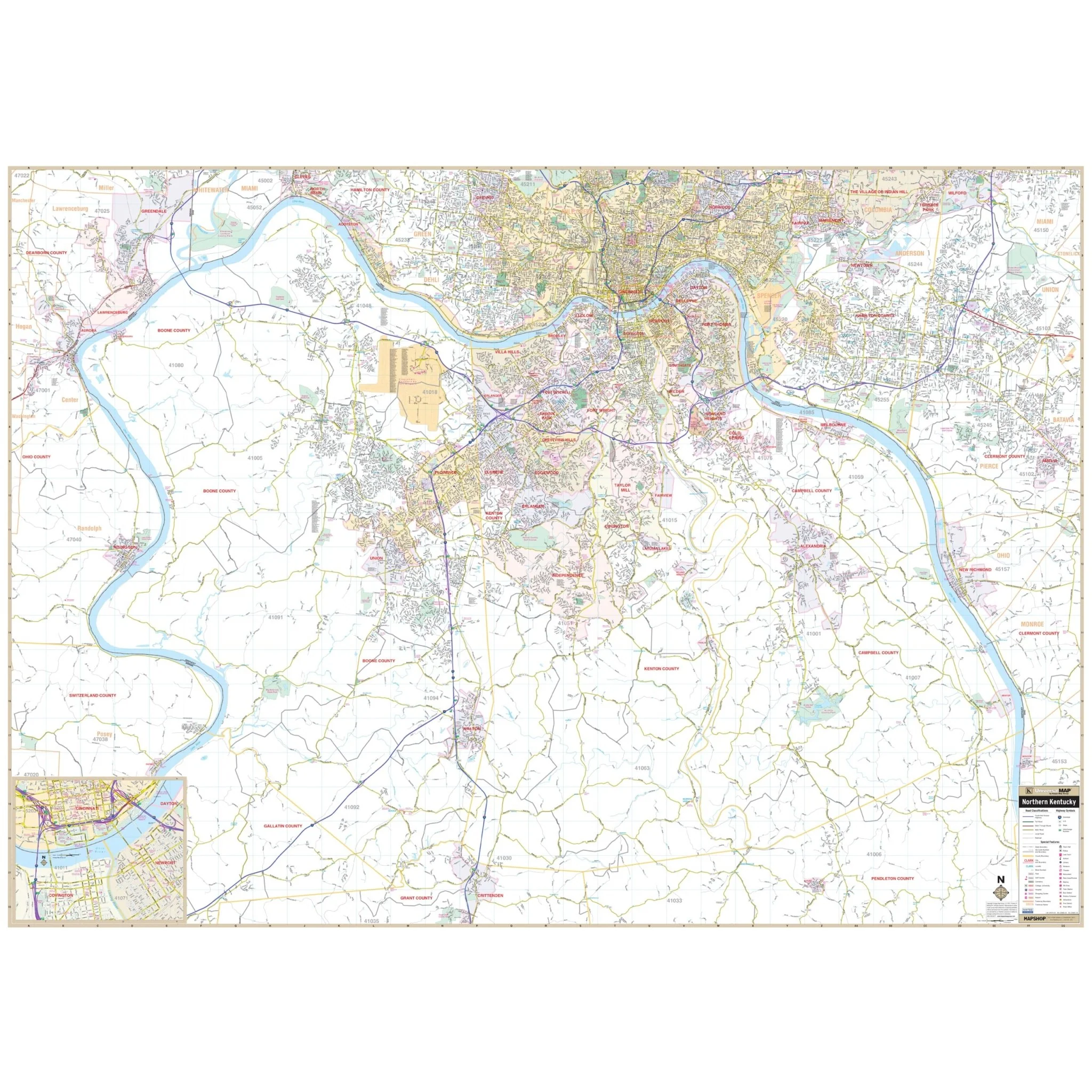
The Northern Kentucky Regional Wall Map by Kappa Map Group is a detailed cartographic depiction of the Northern Kentucky area, capturing the intricacies of its roads, from major interstates to smaller local byways, and includes numerous geographic features such as rivers, notably the Ohio River, and parks. It covers the region surrounding and including the metropolitan area of Cincinnati, extending into the surrounding suburban and rural landscapes.. The area of coverage includes all of Boone, Kenton, and Campbell Counties, with the following boundaries:
- North to North Bend and Terrace Park, in Ohio; and Greendale, in Indiana
- South to Warsaw, Butler, and Crittenden
- East to Amelia and Moscow, in Clermont County, OH
- West to Aurora, Indiana
The map features an inset of the downtown Cincinnati area, providing an enhanced view of this densely developed urban core. Along the bottom edge, a reference key explains the symbols and color codes used throughout the map for various types of roads, locations, and landmarks. A grid overlay aids in navigation and location finding, complemented by a legend detailing the map's scale and directional orientation.
This map serves as a tool for navigation, planning, and as a geographic reference for residents, businesses, and visitors to the region, offering insights into Northern Kentucky's transportation network and urban layout. It is a practical guide for anyone needing to explore or understand the area for a range of purposes, from logistics to leisure.
Size: 78" x 56"
Published: 2011
Original: $149.99
-70%$149.99
$45.00Product Information
Product Information
Shipping & Returns
Shipping & Returns
Description
The Northern Kentucky Regional Wall Map by Kappa Map Group is a detailed cartographic depiction of the Northern Kentucky area, capturing the intricacies of its roads, from major interstates to smaller local byways, and includes numerous geographic features such as rivers, notably the Ohio River, and parks. It covers the region surrounding and including the metropolitan area of Cincinnati, extending into the surrounding suburban and rural landscapes.. The area of coverage includes all of Boone, Kenton, and Campbell Counties, with the following boundaries:
- North to North Bend and Terrace Park, in Ohio; and Greendale, in Indiana
- South to Warsaw, Butler, and Crittenden
- East to Amelia and Moscow, in Clermont County, OH
- West to Aurora, Indiana
The map features an inset of the downtown Cincinnati area, providing an enhanced view of this densely developed urban core. Along the bottom edge, a reference key explains the symbols and color codes used throughout the map for various types of roads, locations, and landmarks. A grid overlay aids in navigation and location finding, complemented by a legend detailing the map's scale and directional orientation.
This map serves as a tool for navigation, planning, and as a geographic reference for residents, businesses, and visitors to the region, offering insights into Northern Kentucky's transportation network and urban layout. It is a practical guide for anyone needing to explore or understand the area for a range of purposes, from logistics to leisure.
Size: 78" x 56"
Published: 2011