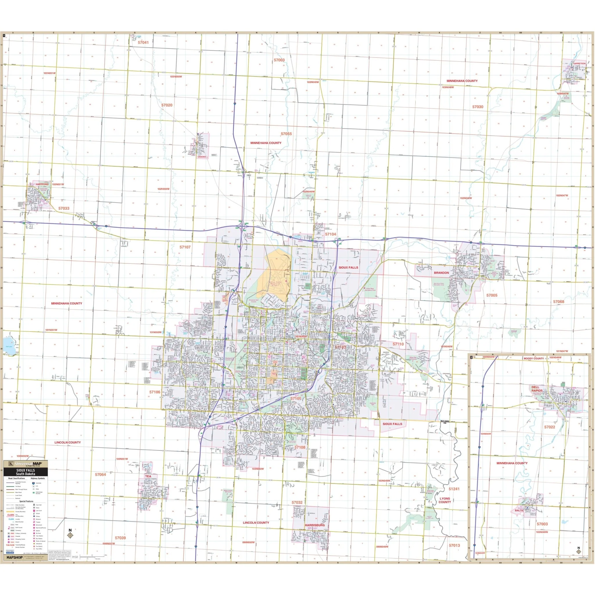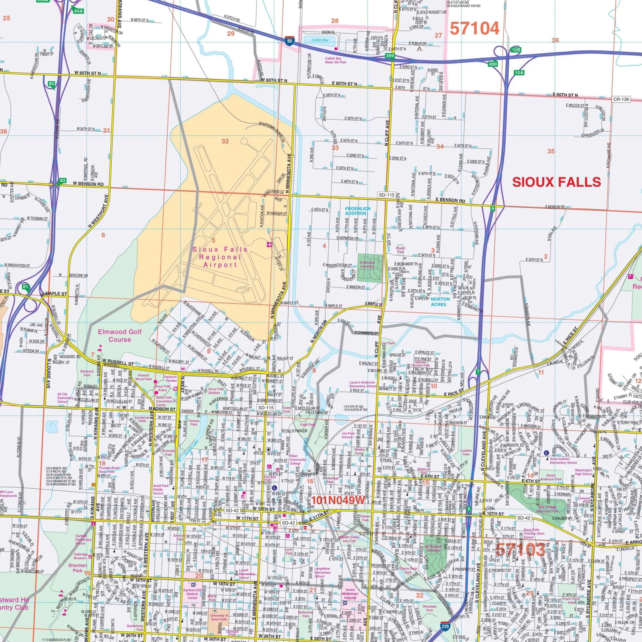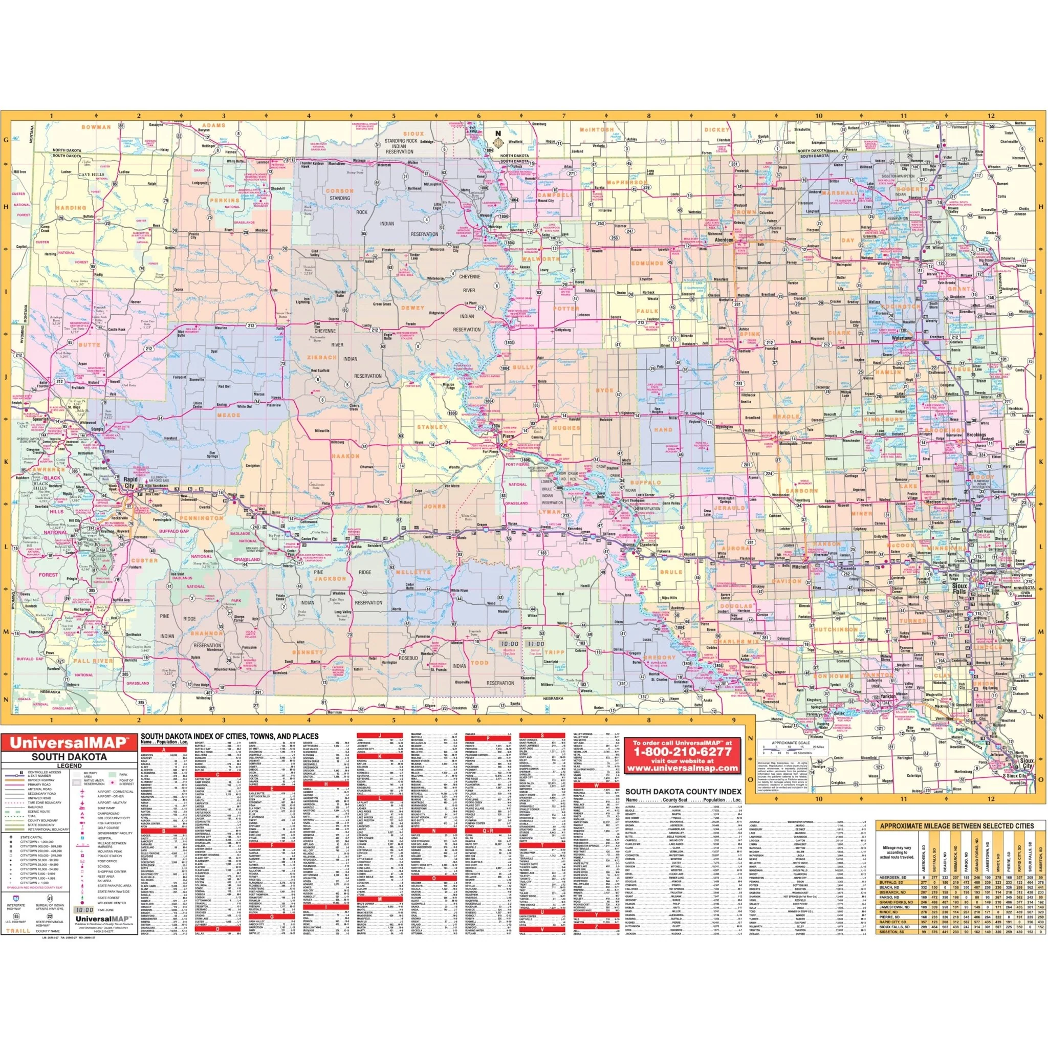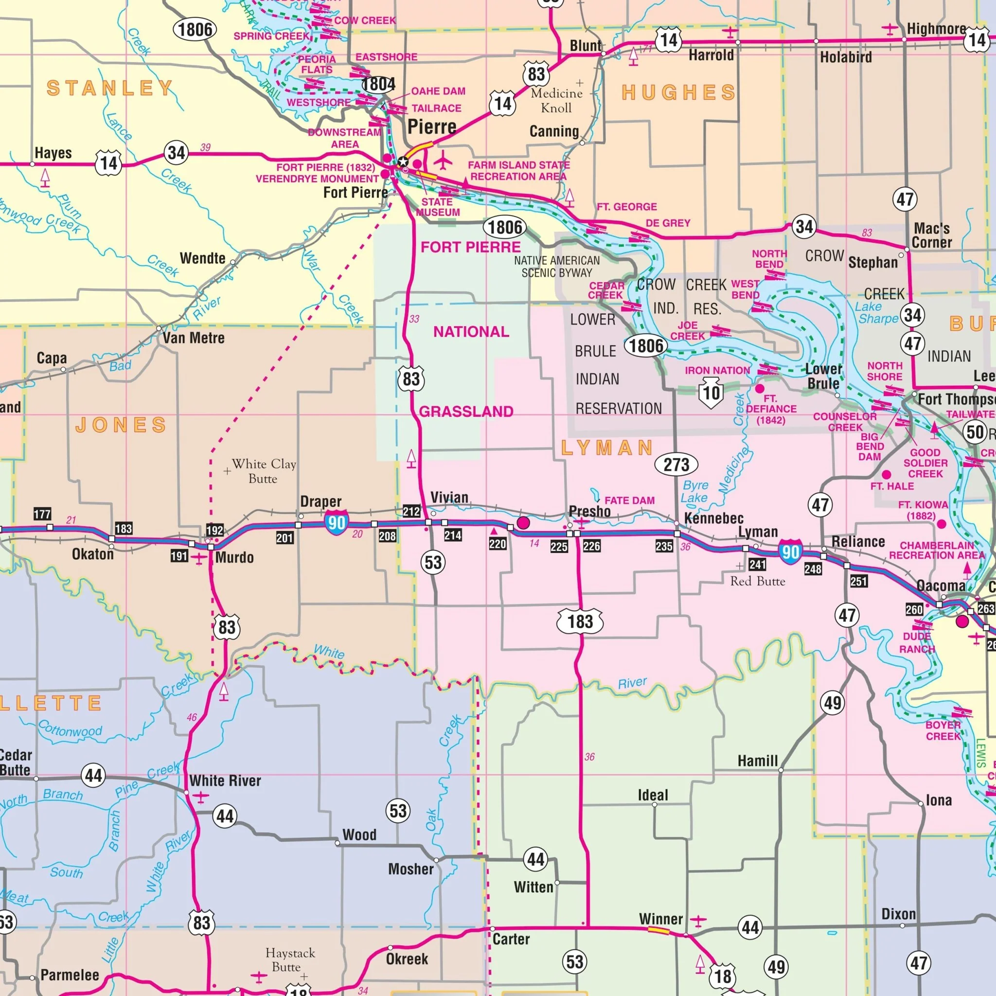


Rapid City, South Dakota Wall Map
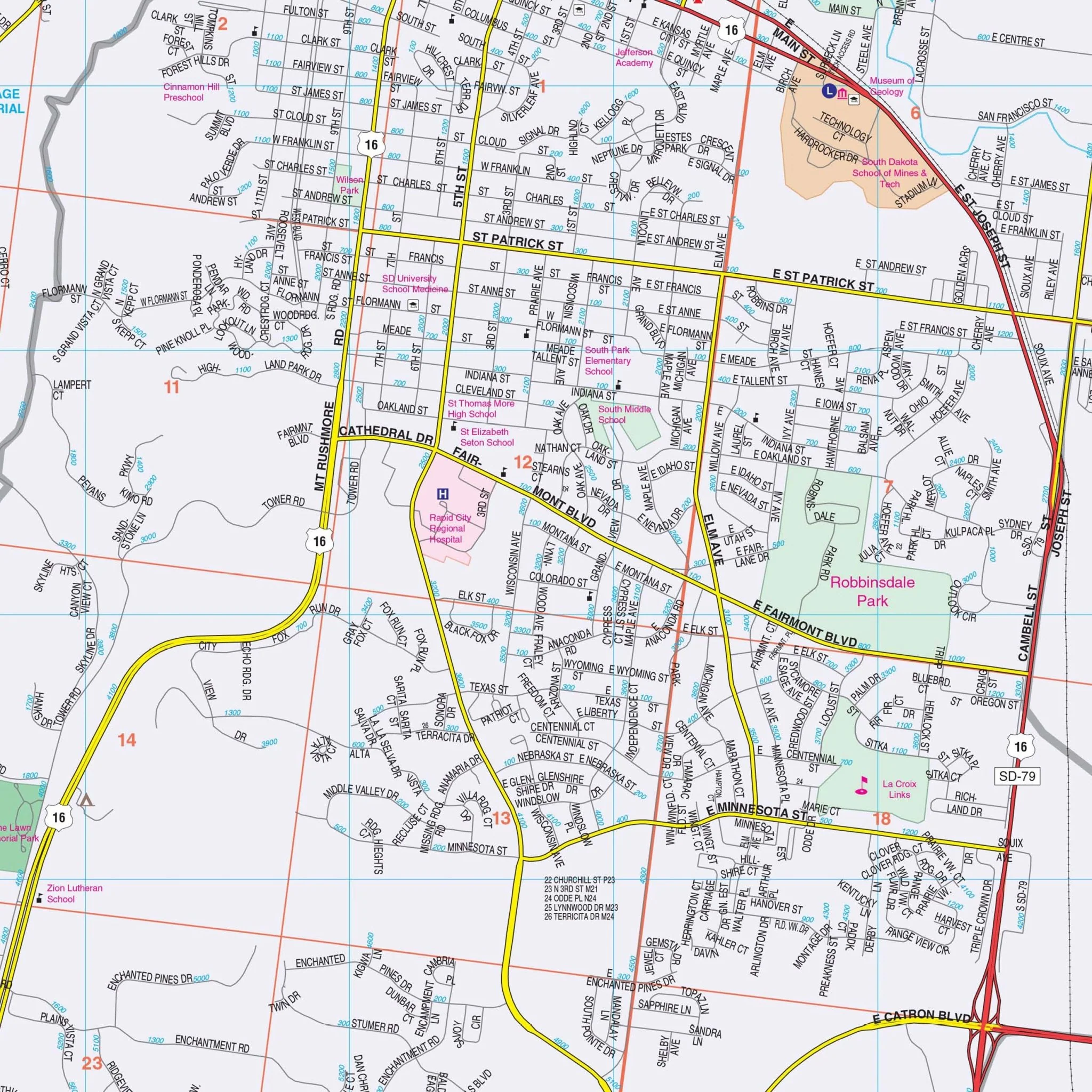
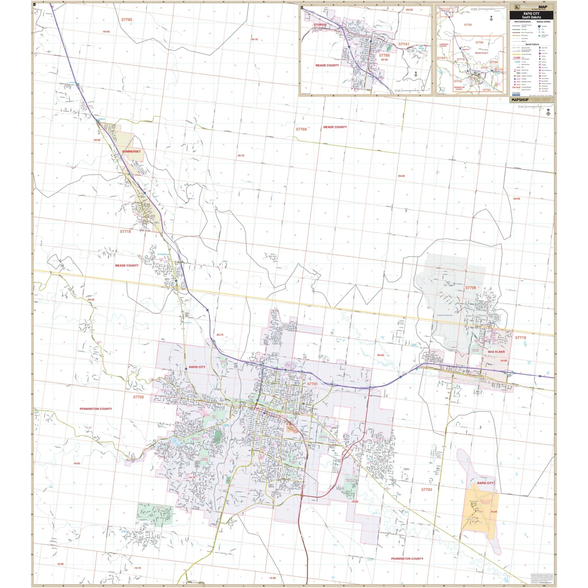
The Rapid City, SD Wall Map by Kappa Map Group offers complete street detail at a scale of 1" = 2,000 feet. The area of coverage encompasses all of Rapid City and surrounding areas, with the following boundaries:
- North: 4.5 miles north of the Sommerset City Limits
- South: to Upper Spring Creek Rd
- East: all of the City of Box Elder and the Rapid City Regional Airport
- West: 3.6 miles west of the Rapid City City Limits
The map also includes detailed city insets of Sturgis and the Rapid City-Sturgis area.
Size: 54" x 60"
Published: 2014
Select Map Size
Select Map Finish
From $42.00
Original: $139.99
-70%Rapid City, South Dakota Wall Map—
$139.99
$42.00Product Information
Product Information
Shipping & Returns
Shipping & Returns
Description
The Rapid City, SD Wall Map by Kappa Map Group offers complete street detail at a scale of 1" = 2,000 feet. The area of coverage encompasses all of Rapid City and surrounding areas, with the following boundaries:
- North: 4.5 miles north of the Sommerset City Limits
- South: to Upper Spring Creek Rd
- East: all of the City of Box Elder and the Rapid City Regional Airport
- West: 3.6 miles west of the Rapid City City Limits
The map also includes detailed city insets of Sturgis and the Rapid City-Sturgis area.
Size: 54" x 60"
Published: 2014