


Sioux Falls, SD Wall Map
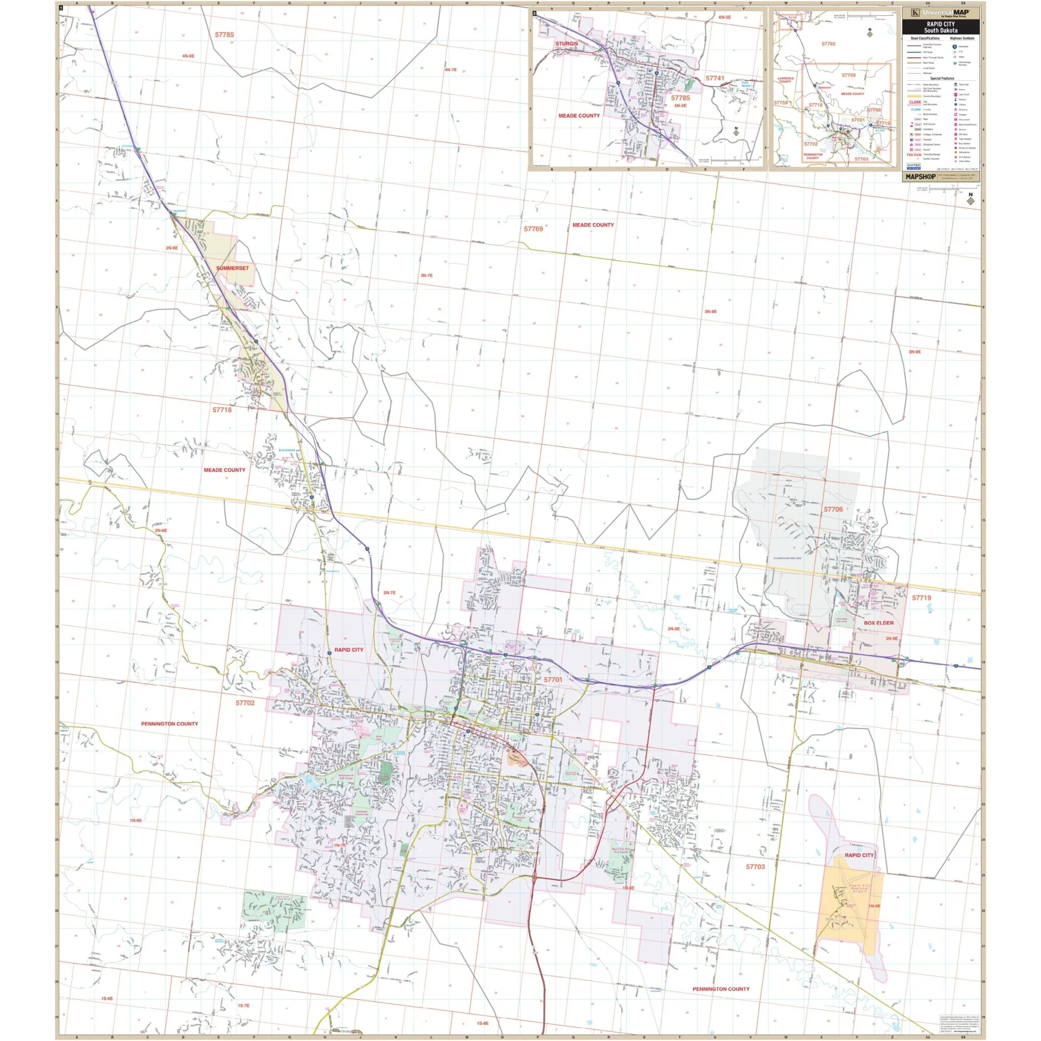
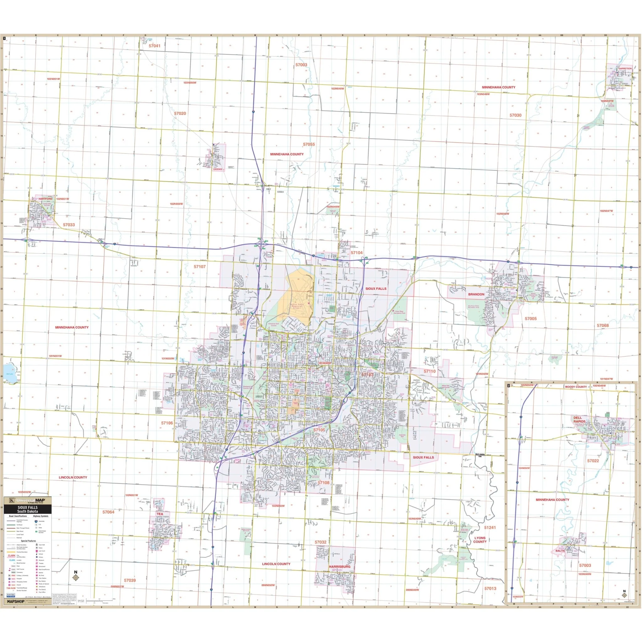
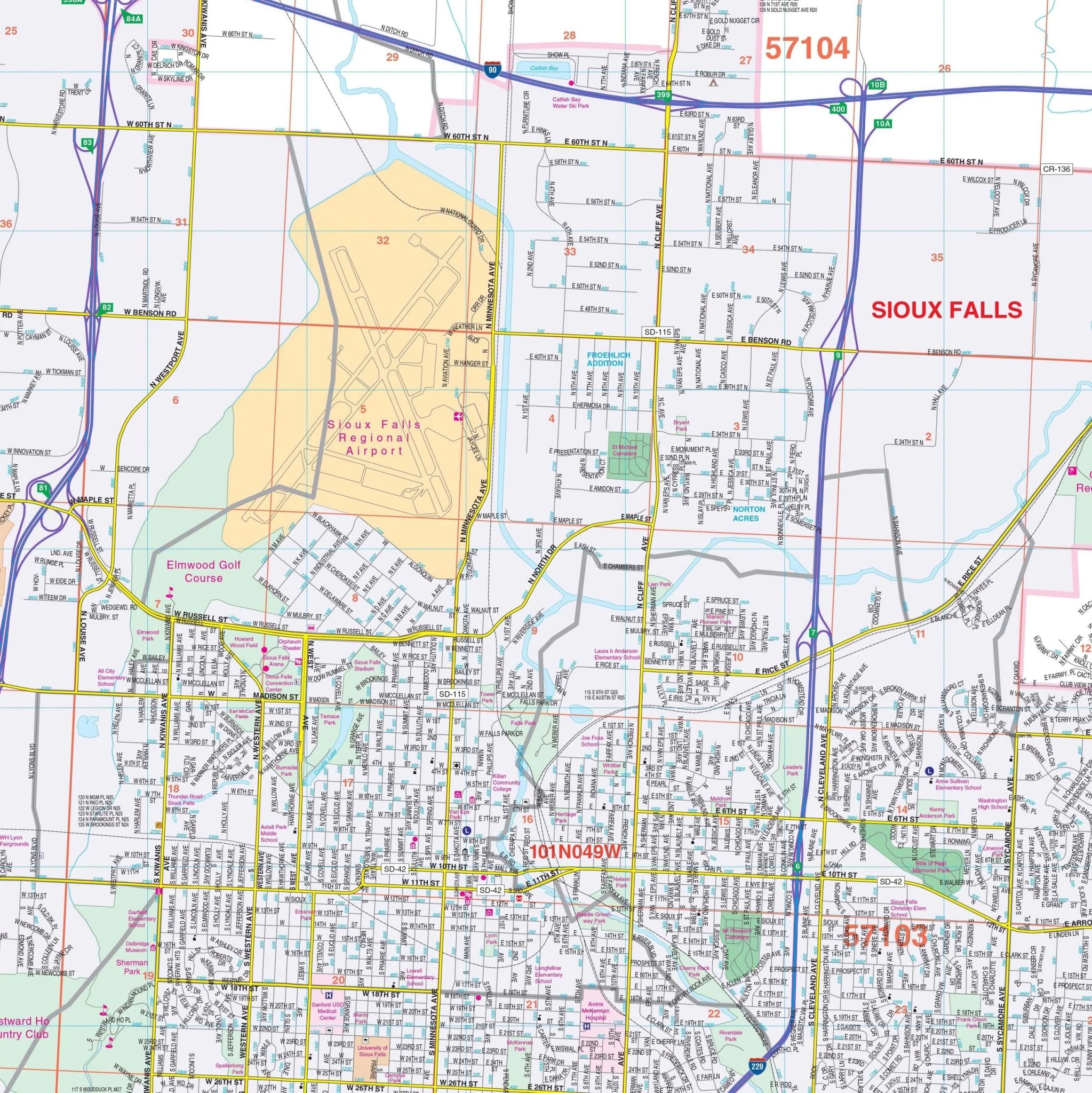
The Sioux Falls, South Dakota Wall Map offers complete street detail at a scale of 1" = 2,250 feet. It covers all of Sioux Falls and surrounding areas within the following boundaries:
- North: to the community of Lyons in Minnehaha County
- South: all of Harrisburg in Lincoln County
- East: all of Garretson in Minnehaha
- West: all of Hartford
The map also includes detailed insets for the City of Baltic and Dell Rapids in Minnehaha County.
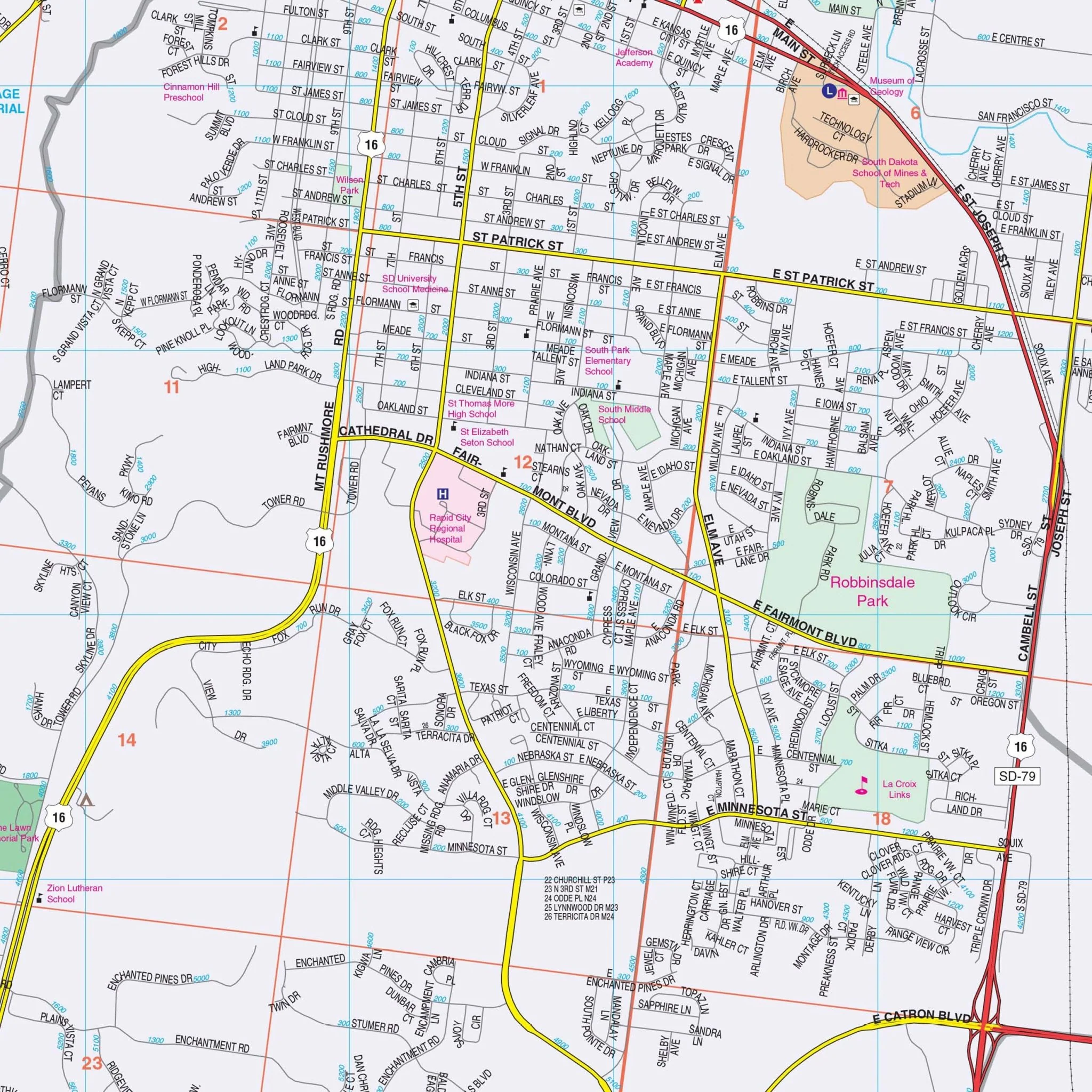
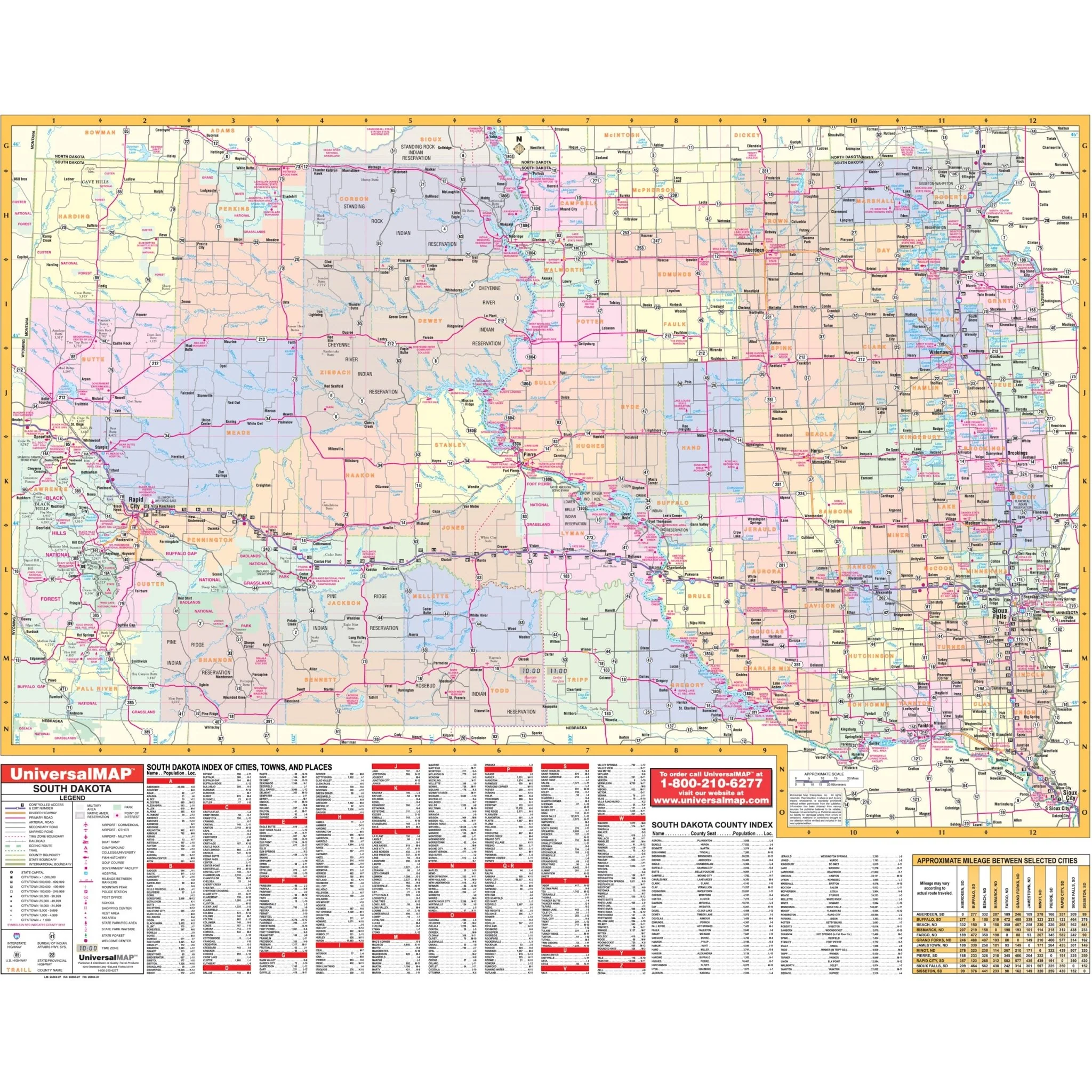
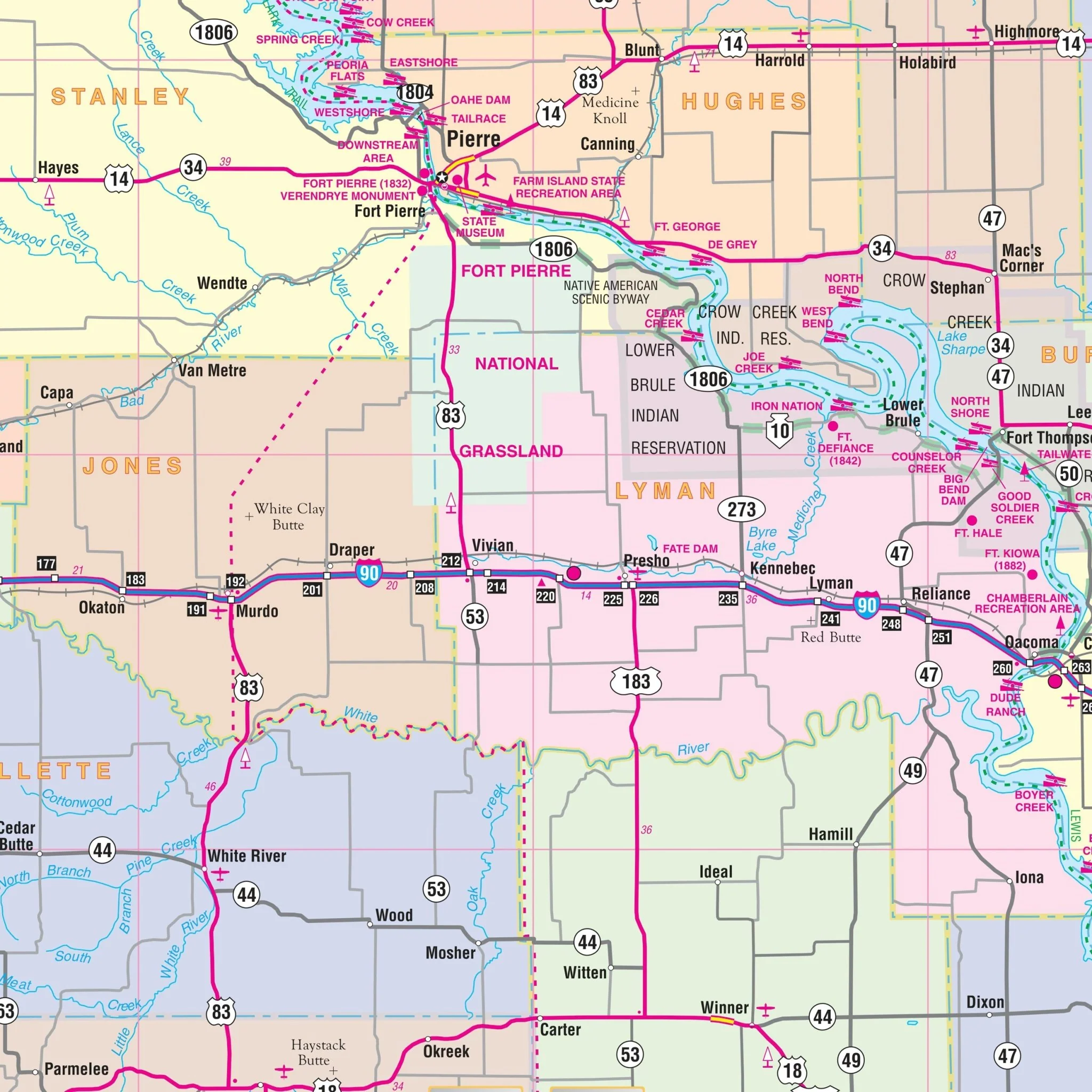
Details and features on the map encompass a wide range of information including airports, all streets and highways, government buildings, cemeteries, libraries, golf and country clubs, hospitals, water features, educational institutions, railroads, recreational parks, city limits and annexations, post offices, points of interest, ZIP codes and boundaries, block numbers, and fire and police stations.
Size: 60" x 54"
Published: 2015
Original: $139.99
-70%$139.99
$42.00Product Information
Product Information
Shipping & Returns
Shipping & Returns
Description
The Sioux Falls, South Dakota Wall Map offers complete street detail at a scale of 1" = 2,250 feet. It covers all of Sioux Falls and surrounding areas within the following boundaries:
- North: to the community of Lyons in Minnehaha County
- South: all of Harrisburg in Lincoln County
- East: all of Garretson in Minnehaha
- West: all of Hartford
The map also includes detailed insets for the City of Baltic and Dell Rapids in Minnehaha County.
Details and features on the map encompass a wide range of information including airports, all streets and highways, government buildings, cemeteries, libraries, golf and country clubs, hospitals, water features, educational institutions, railroads, recreational parks, city limits and annexations, post offices, points of interest, ZIP codes and boundaries, block numbers, and fire and police stations.
Size: 60" x 54"
Published: 2015