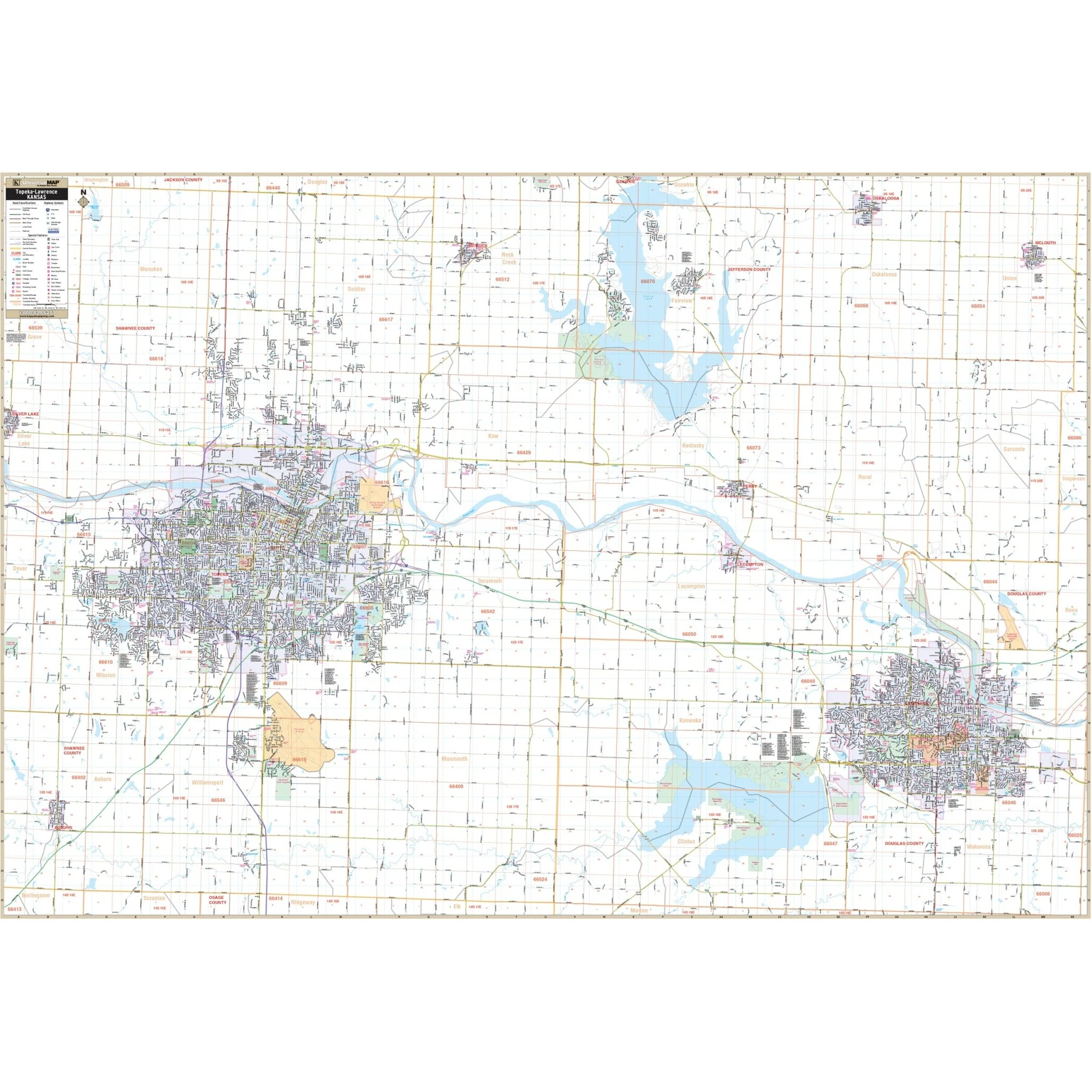


Topeka & Lawrence, KS Wall Map
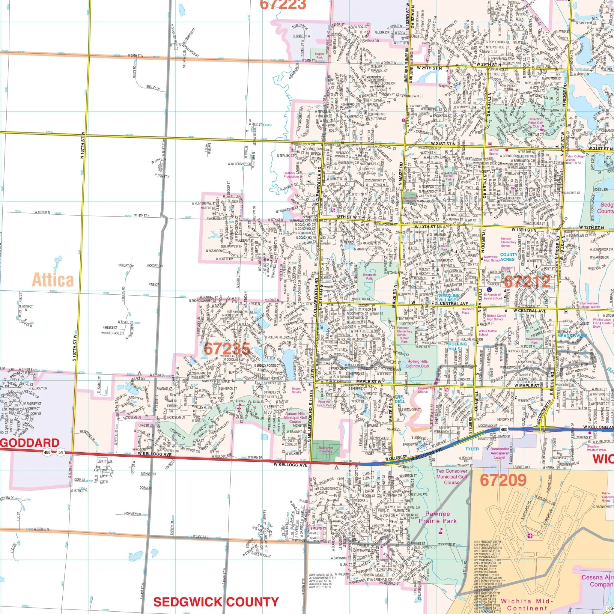
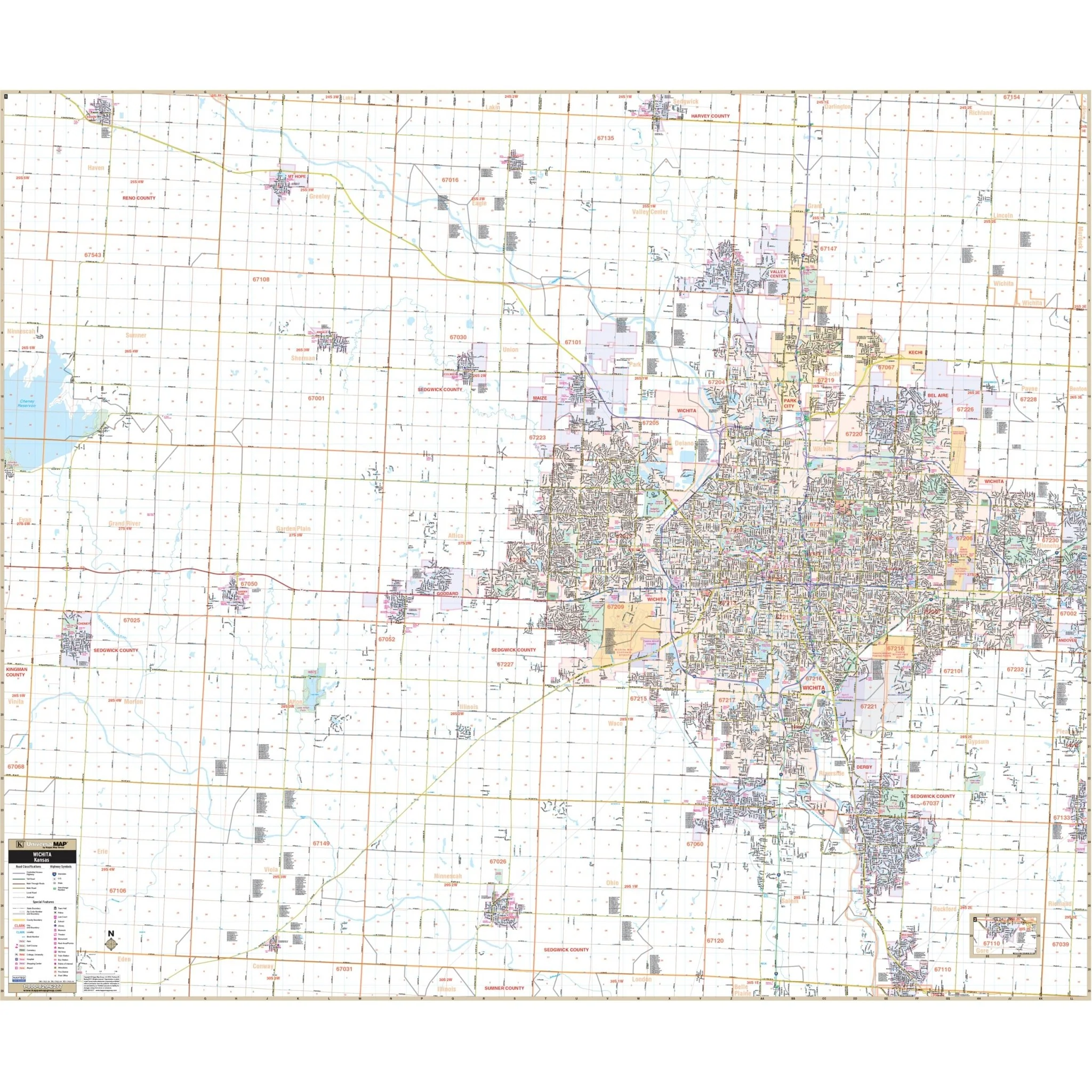
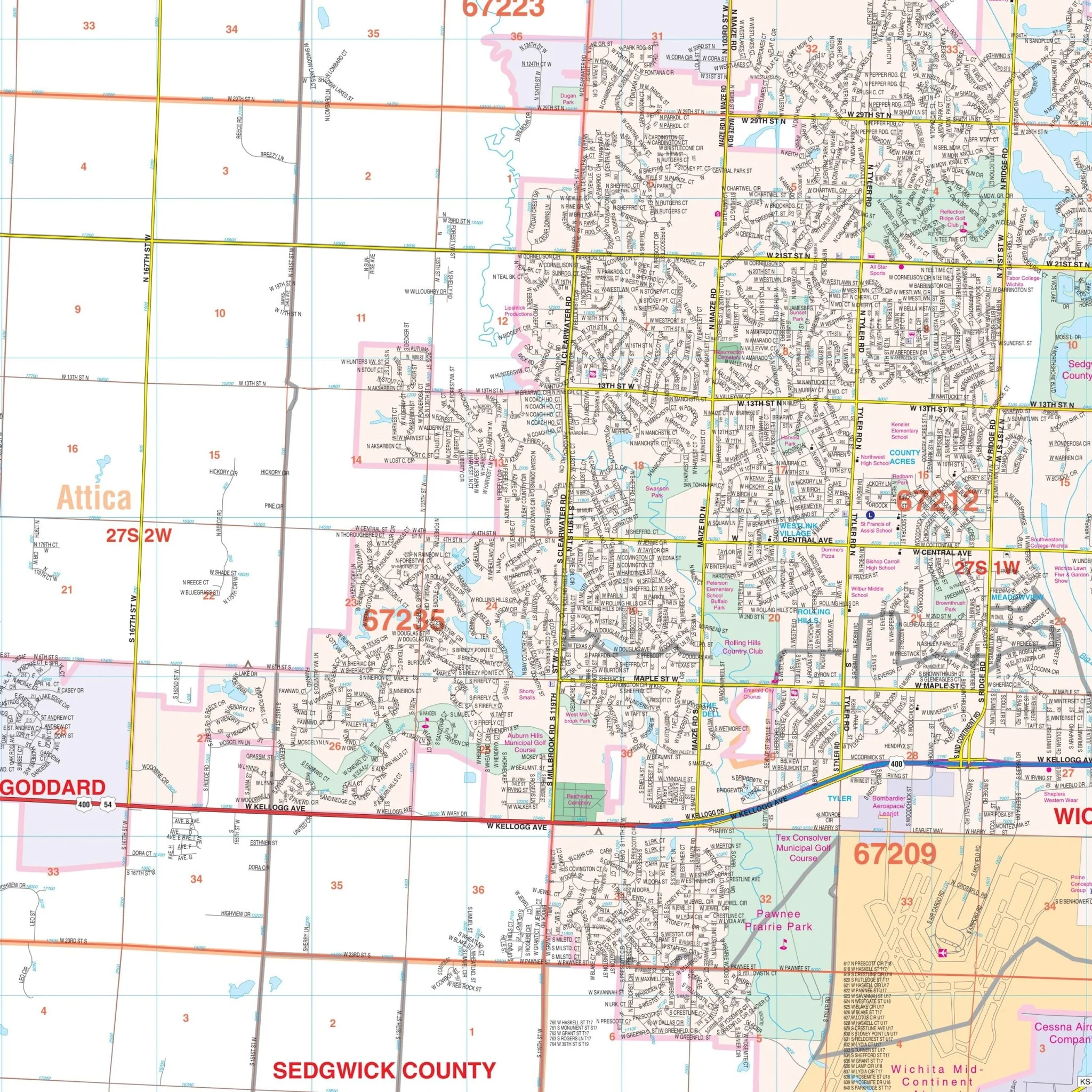
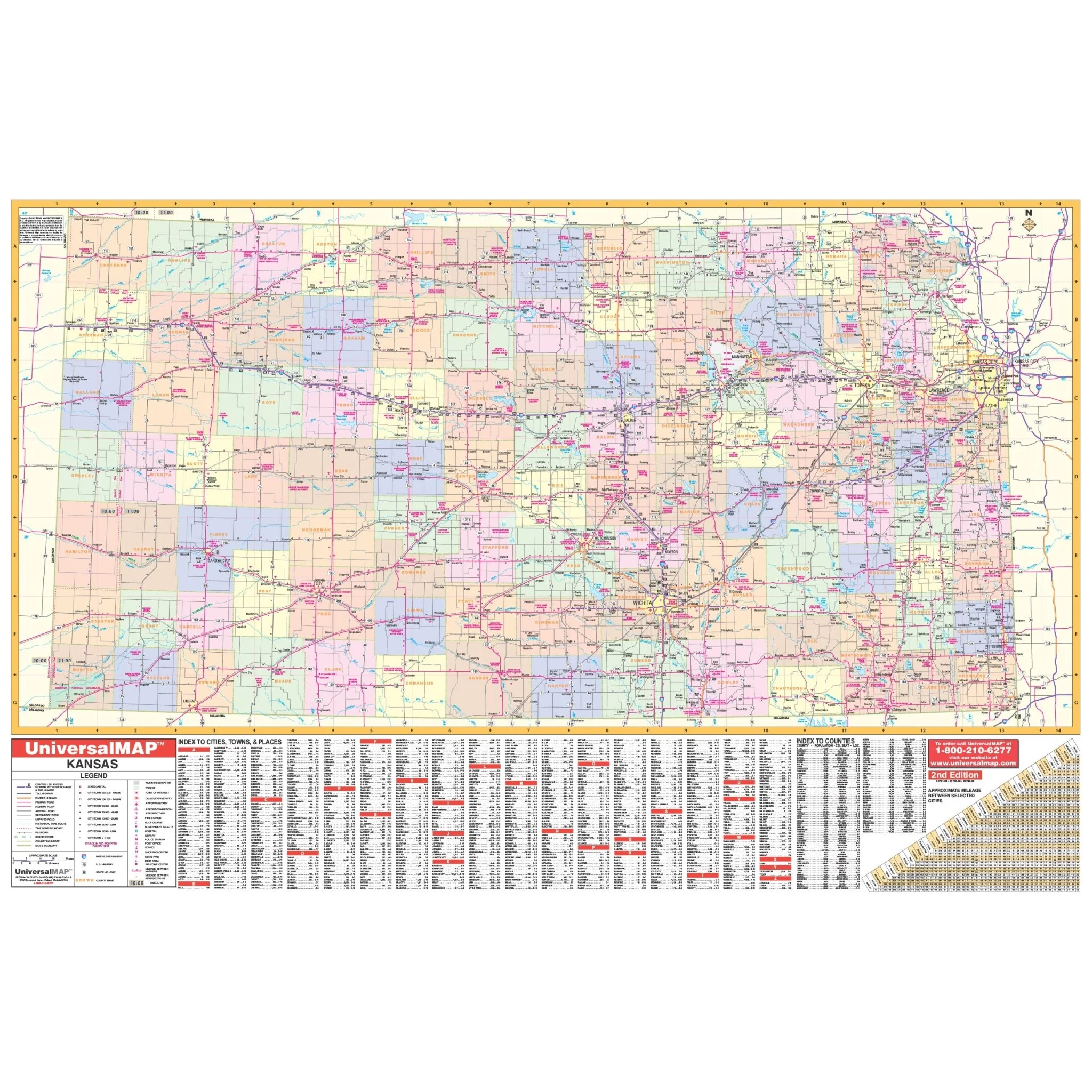
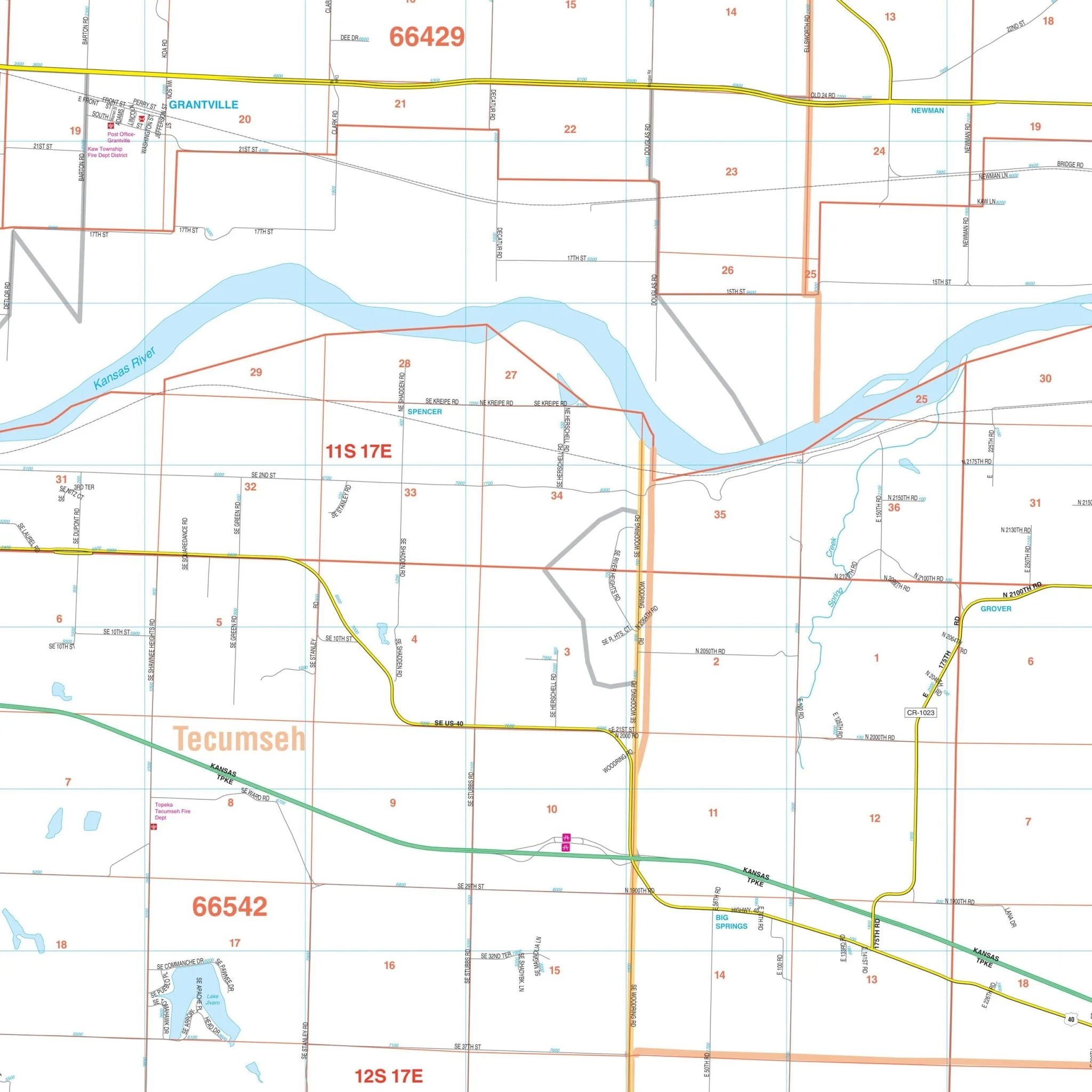
Explore the Topeka, Kansas Wall Map, a comprehensive geographic resource meticulously crafted by Kappa Map Group. This map offers complete street detail without specifying its scale, ensuring you have access to essential geographic information.
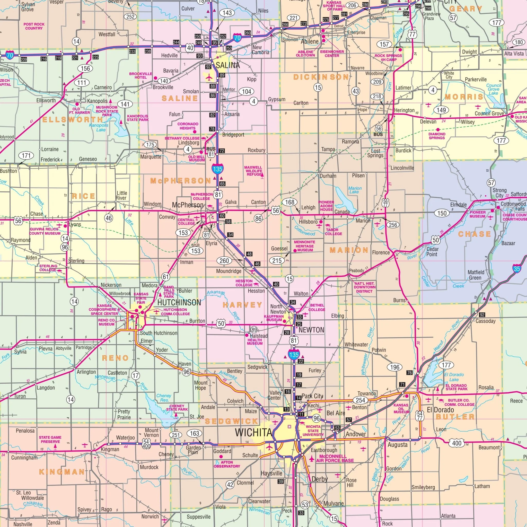
Encompassing a wide area, this map extends northward to the Shawnee-Jackson County line, including the City of Oskaloosa in Jefferson County. In the southern direction, it reaches the Shawnee-Osage County line. To the east, it covers the entirety of the City of Lawrence and includes the City of McLouth in Jefferson County. In the west, the map encompasses Silver Lake, providing a comprehensive view of the region.
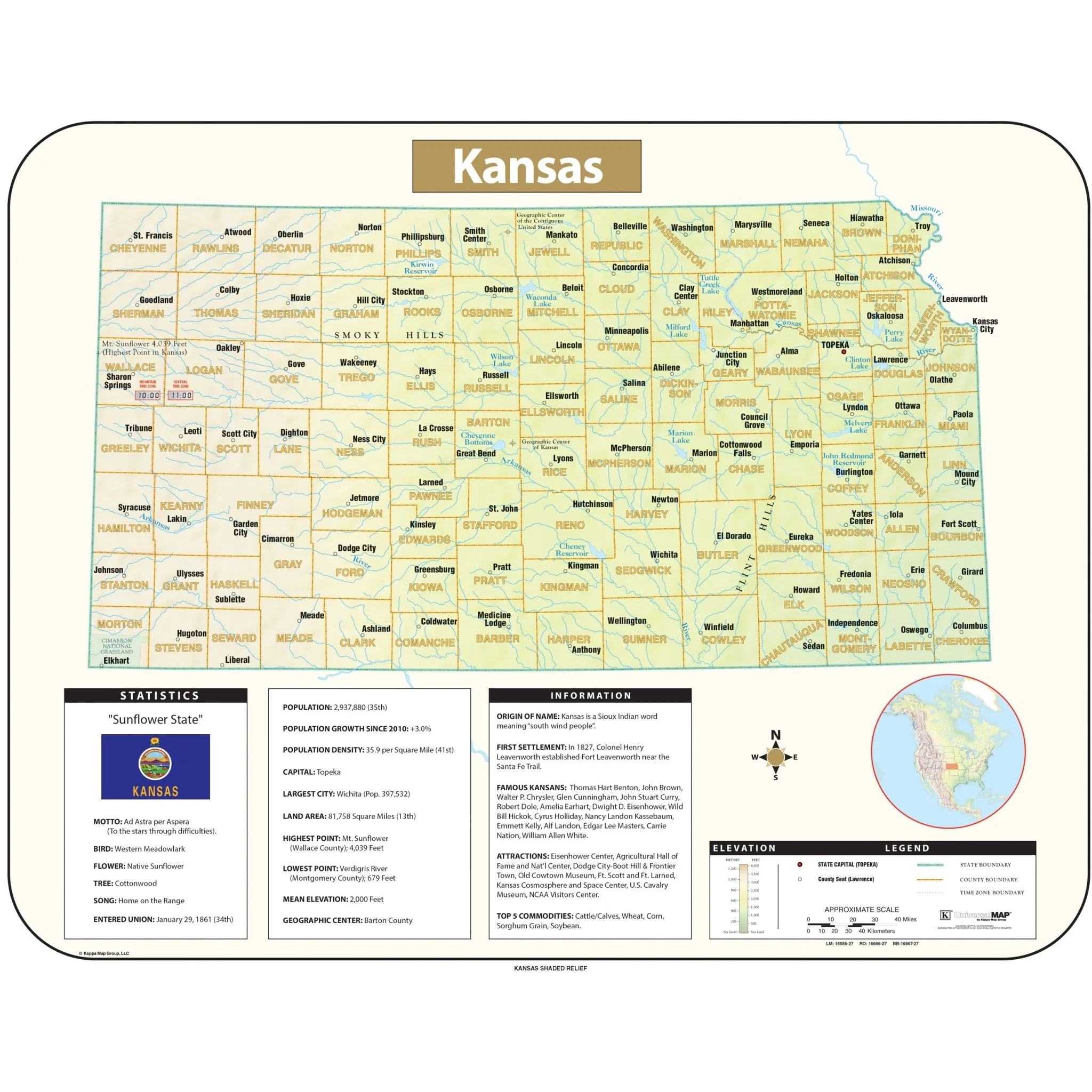
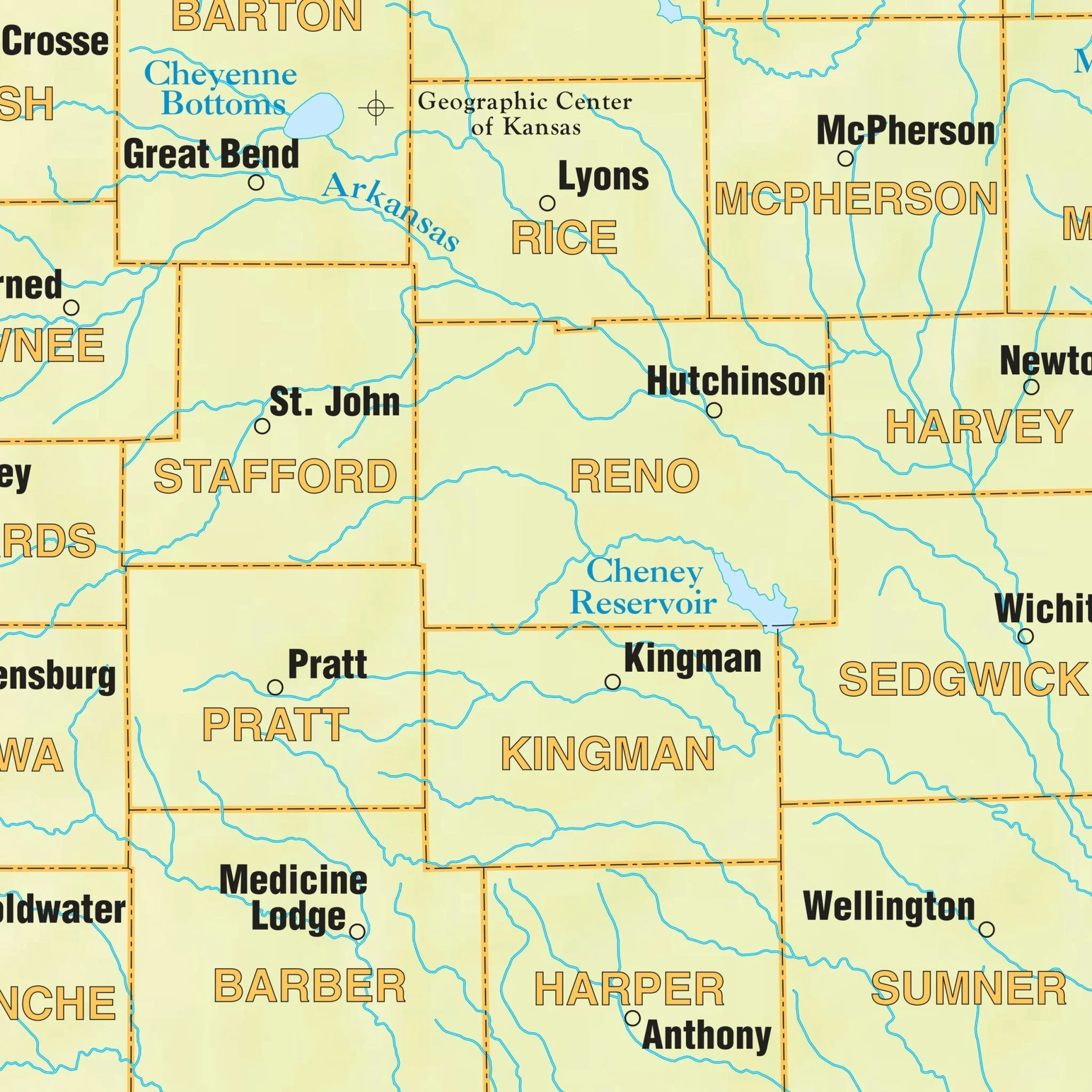
Within this detailed map, you'll discover an array of valuable details and features, including airports, all streets and highways, government buildings, cemeteries, shopping centers, libraries, hospitals, water features, educational institutions, railroads, recreational parks, golf and country clubs, post offices, block numbers, ZIP codes and boundaries, points of interest, city limits (color-coded), fire and police stations, section/township/range lines, township names and boundaries, and much more.
Size: 78.5" x 54"
Published: 2013
Original: $149.99
-70%$149.99
$45.00Product Information
Product Information
Shipping & Returns
Shipping & Returns
Description
Explore the Topeka, Kansas Wall Map, a comprehensive geographic resource meticulously crafted by Kappa Map Group. This map offers complete street detail without specifying its scale, ensuring you have access to essential geographic information.
Encompassing a wide area, this map extends northward to the Shawnee-Jackson County line, including the City of Oskaloosa in Jefferson County. In the southern direction, it reaches the Shawnee-Osage County line. To the east, it covers the entirety of the City of Lawrence and includes the City of McLouth in Jefferson County. In the west, the map encompasses Silver Lake, providing a comprehensive view of the region.
Within this detailed map, you'll discover an array of valuable details and features, including airports, all streets and highways, government buildings, cemeteries, shopping centers, libraries, hospitals, water features, educational institutions, railroads, recreational parks, golf and country clubs, post offices, block numbers, ZIP codes and boundaries, points of interest, city limits (color-coded), fire and police stations, section/township/range lines, township names and boundaries, and much more.
Size: 78.5" x 54"
Published: 2013