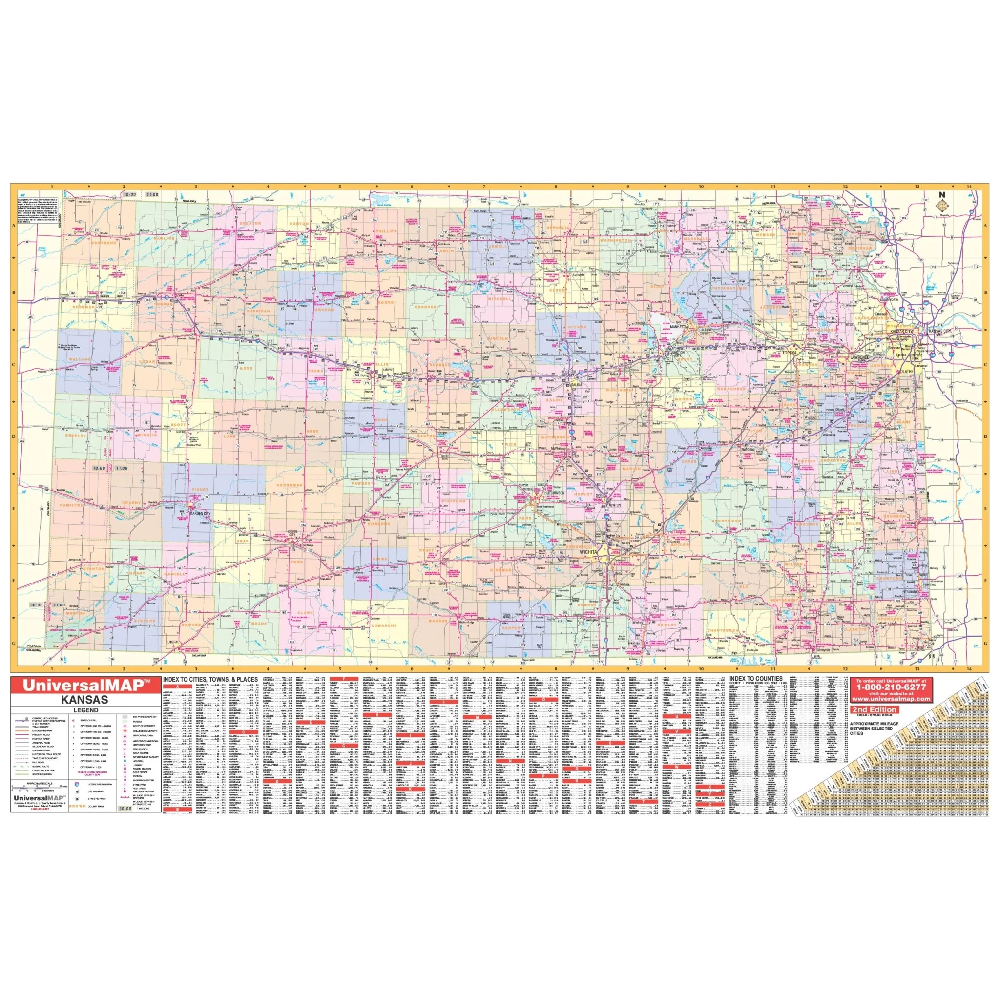


Wichita & Sedgewick, KS Wall Map (With S-T-R Lines)
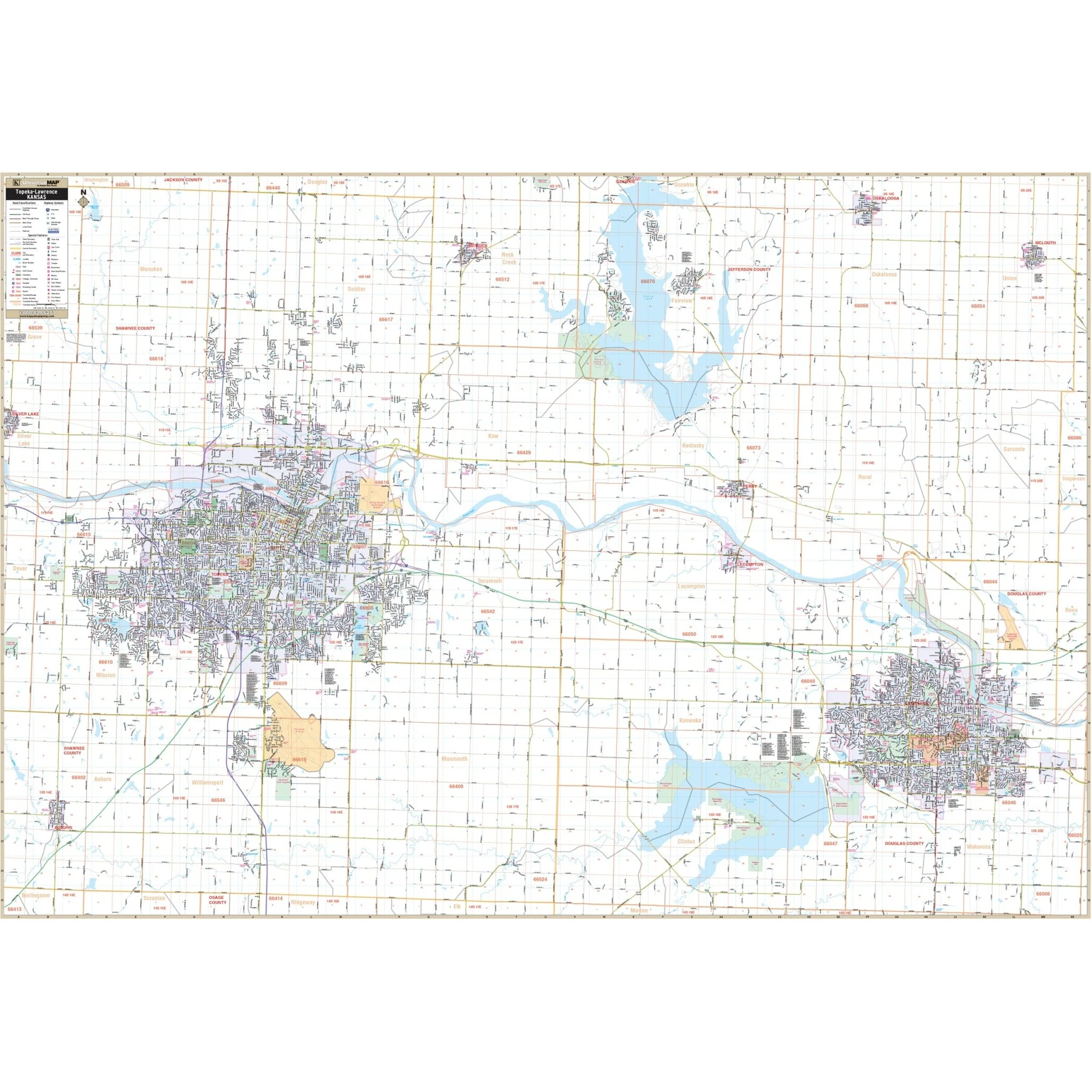
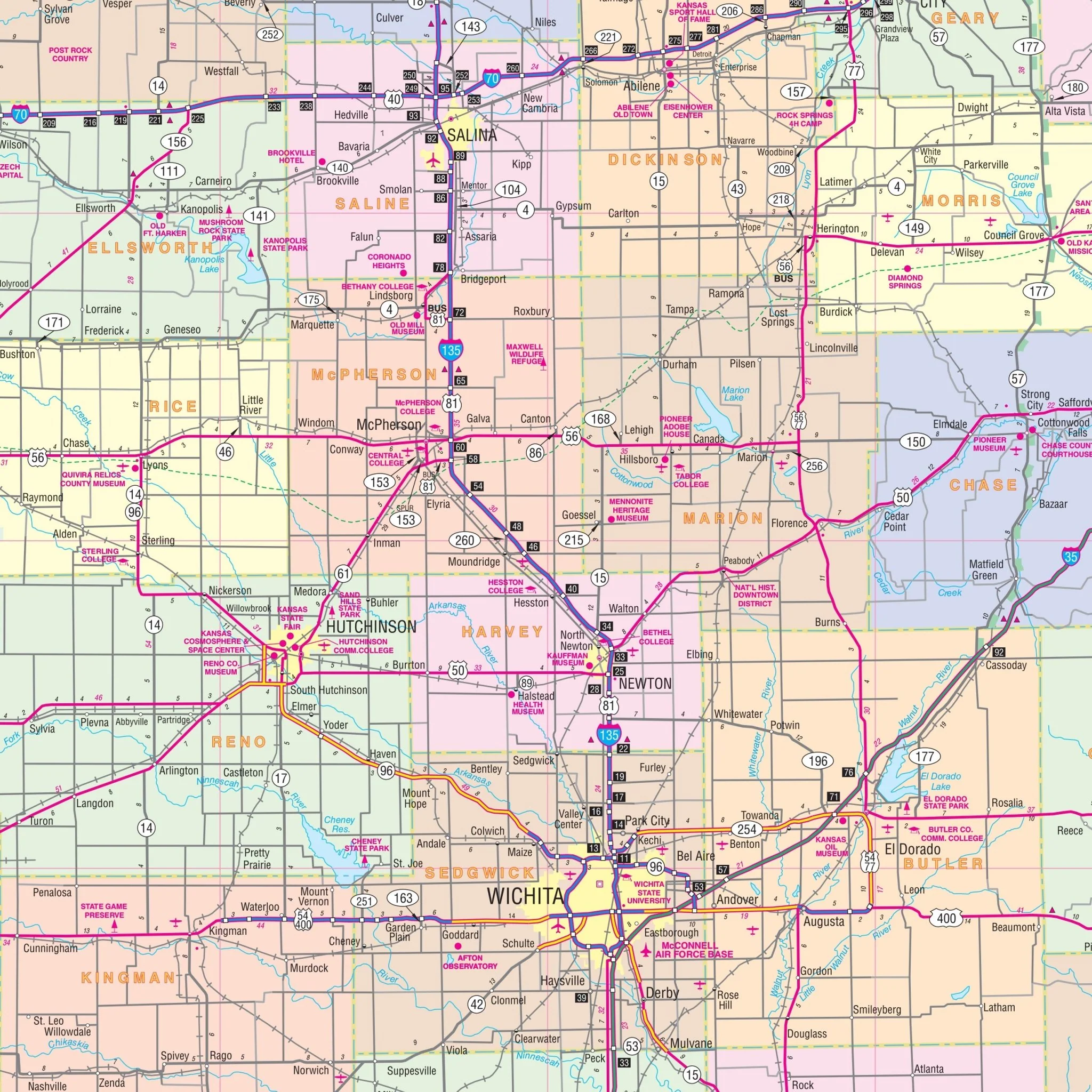
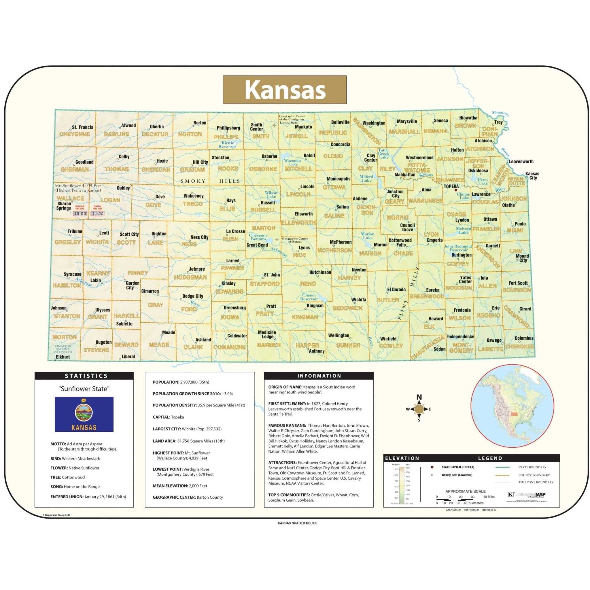
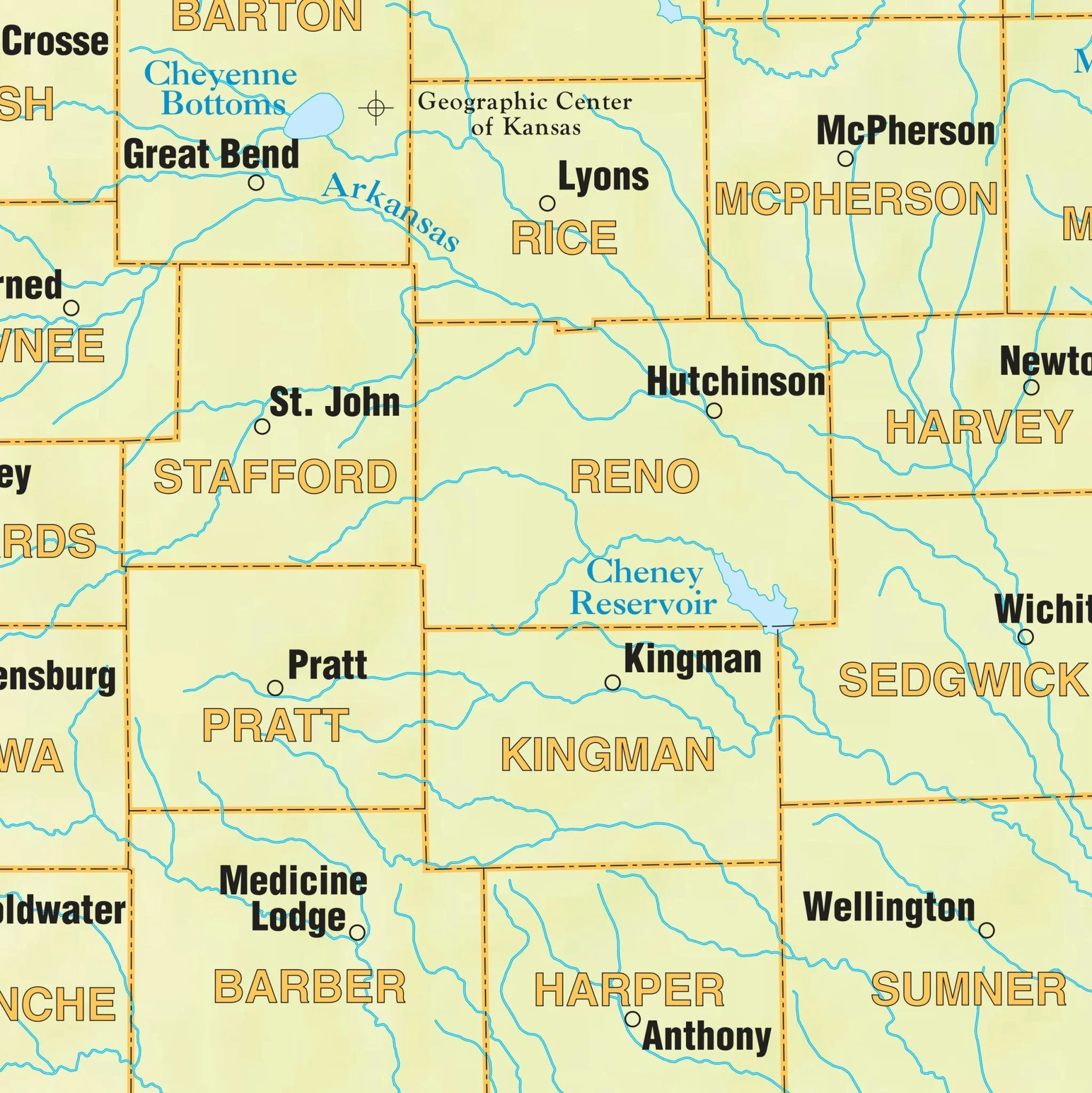
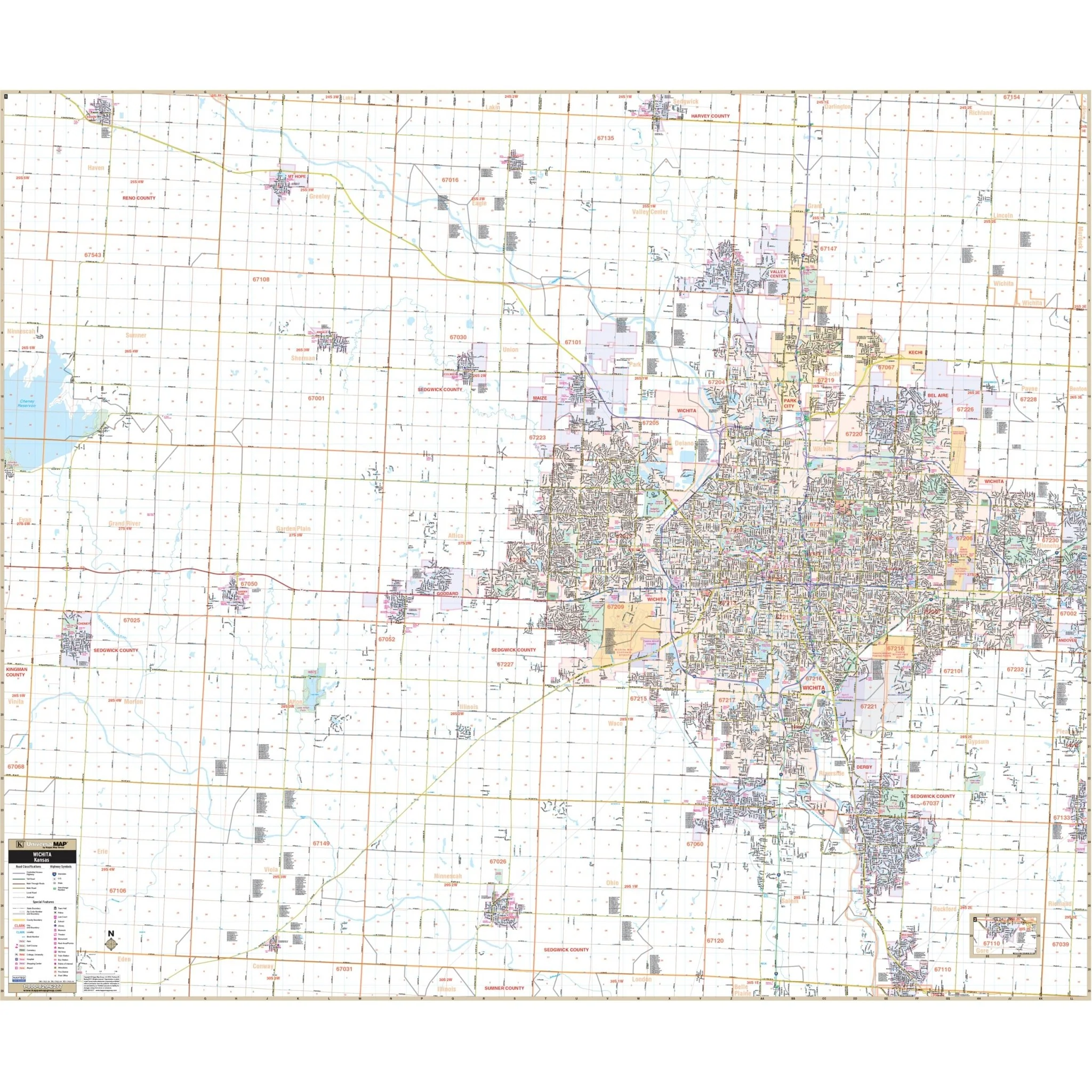
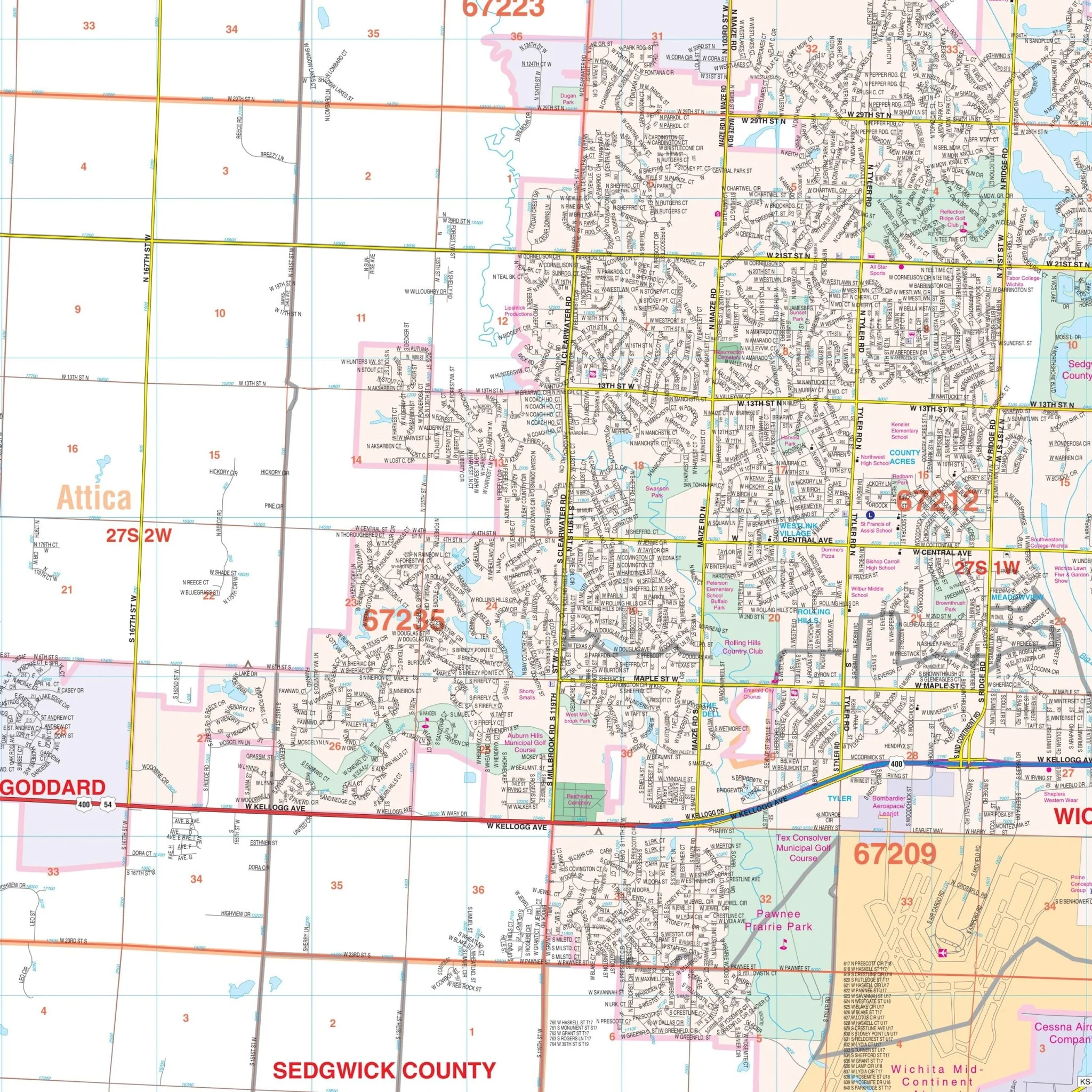
Explore the Wichita & Sedgwick, KS Wall Map, meticulously created by Kappa Map Group, providing a comprehensive overview of the region's geography. This map offers detailed street information, ensuring you have access to essential geographic data for the area.
Spanning a significant area, this map includes the northern boundary up to the Sedgwick/Harvey County Line and extends southward to cover Mulvane and the Sedgwick/Sumner County line. To the east, it encompasses the region just past the Sedgwick/Butler County Line. On the western side, the map reaches out to the Sedgwick/Kingman County Line, providing a thorough and informative representation of the region.
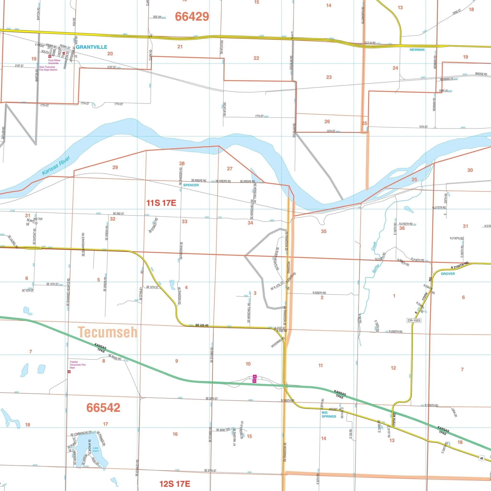
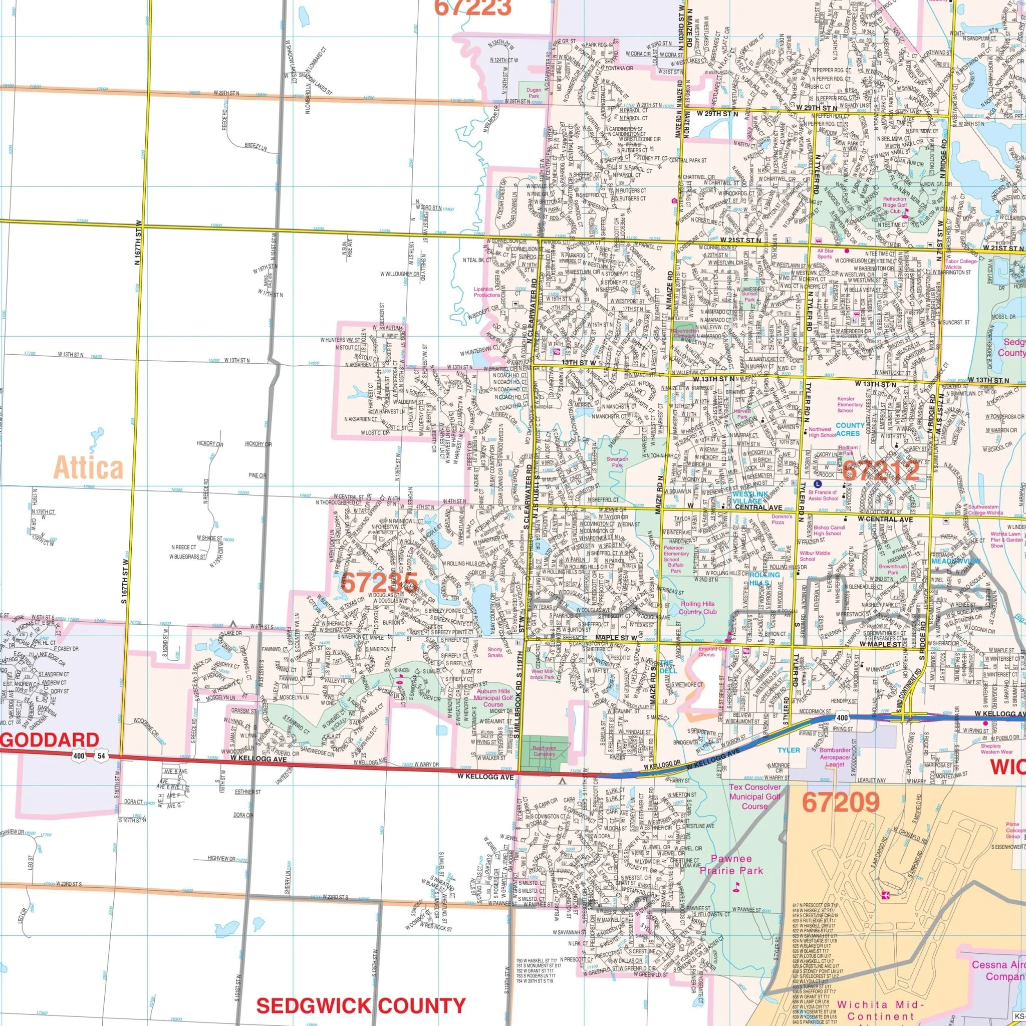
Within this comprehensive map, you'll find a wealth of valuable details and features, including streets, airports, government buildings, post offices, cemeteries, fire and police stations, hospitals, shopping centers, educational institutions, railroads, water features, golf and country clubs, mileage circles, recreational parks, ZIP codes and boundaries, as well as block numbers.
Size: 68" x 57"
Published: 2006
Original: $149.99
-70%$149.99
$45.00Product Information
Product Information
Shipping & Returns
Shipping & Returns
Description
Explore the Wichita & Sedgwick, KS Wall Map, meticulously created by Kappa Map Group, providing a comprehensive overview of the region's geography. This map offers detailed street information, ensuring you have access to essential geographic data for the area.
Spanning a significant area, this map includes the northern boundary up to the Sedgwick/Harvey County Line and extends southward to cover Mulvane and the Sedgwick/Sumner County line. To the east, it encompasses the region just past the Sedgwick/Butler County Line. On the western side, the map reaches out to the Sedgwick/Kingman County Line, providing a thorough and informative representation of the region.
Within this comprehensive map, you'll find a wealth of valuable details and features, including streets, airports, government buildings, post offices, cemeteries, fire and police stations, hospitals, shopping centers, educational institutions, railroads, water features, golf and country clubs, mileage circles, recreational parks, ZIP codes and boundaries, as well as block numbers.
Size: 68" x 57"
Published: 2006