


United States Advanced Political Wall Map
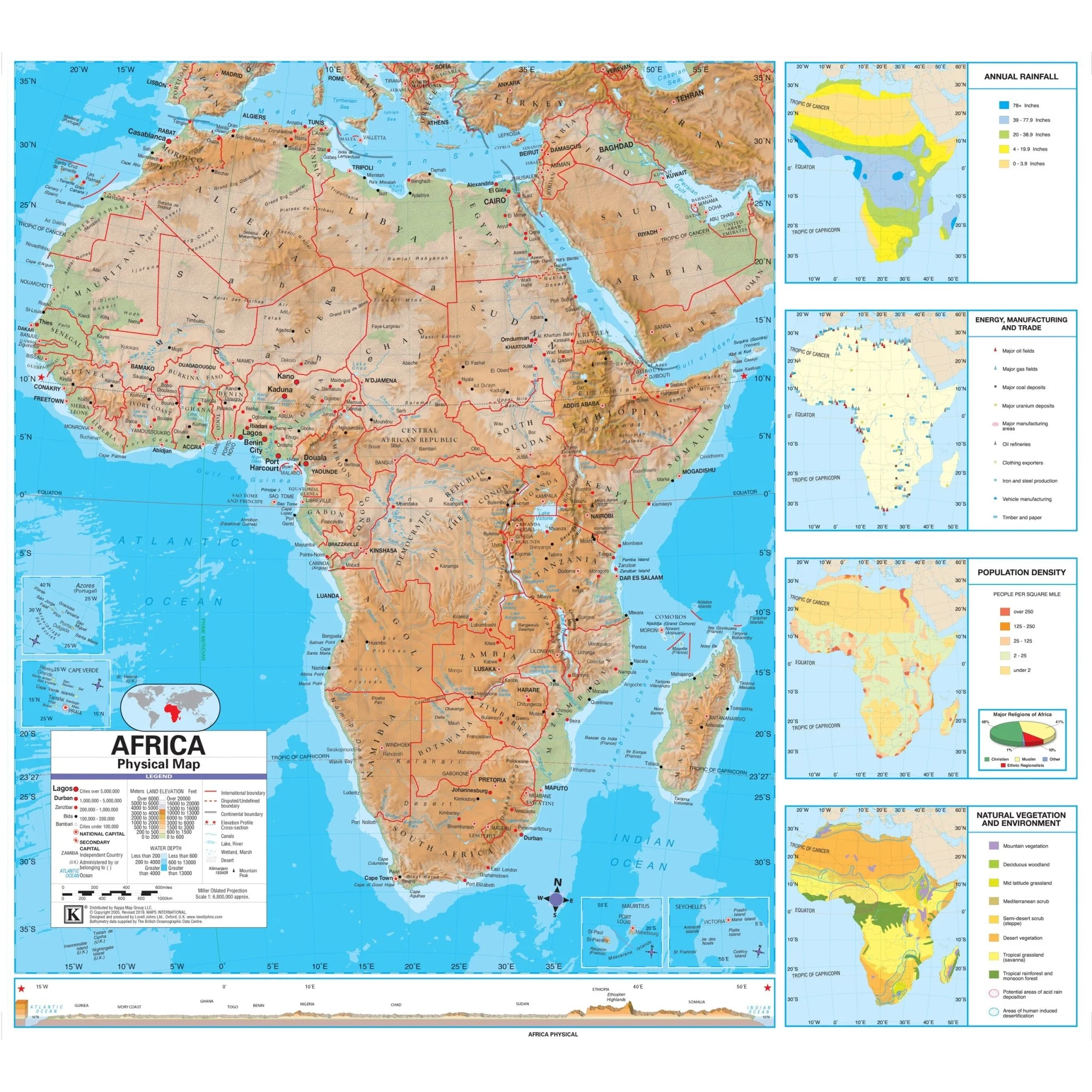
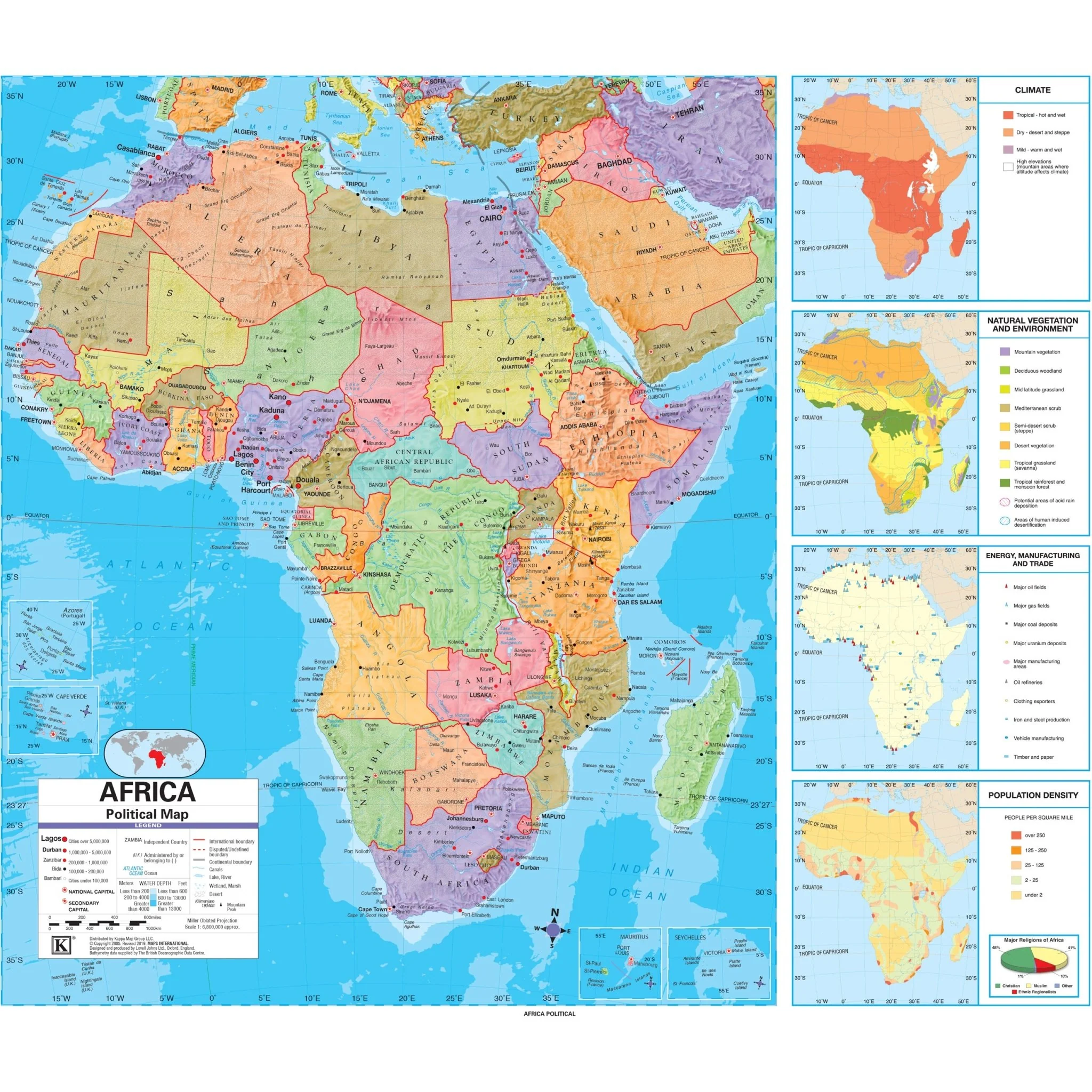
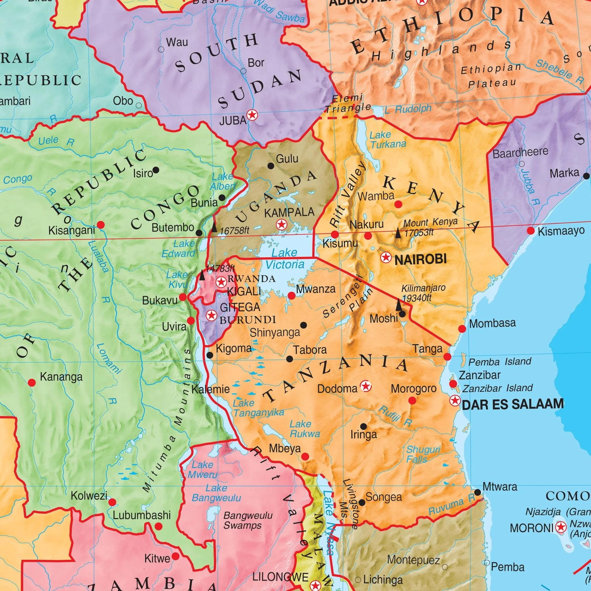
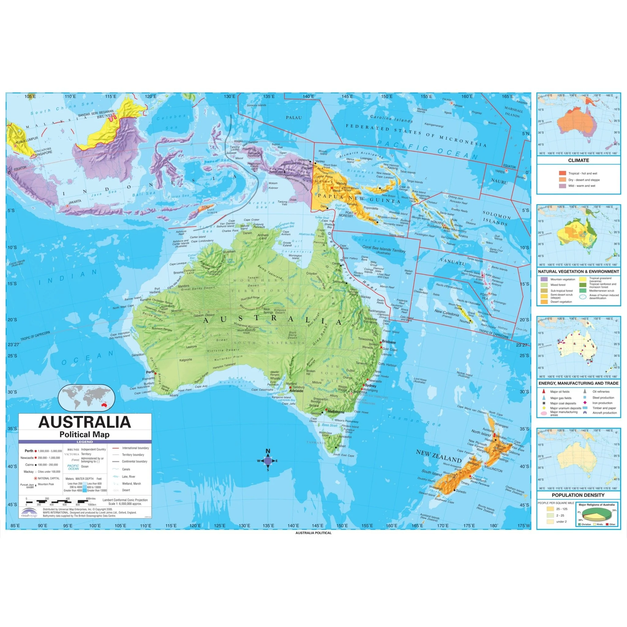
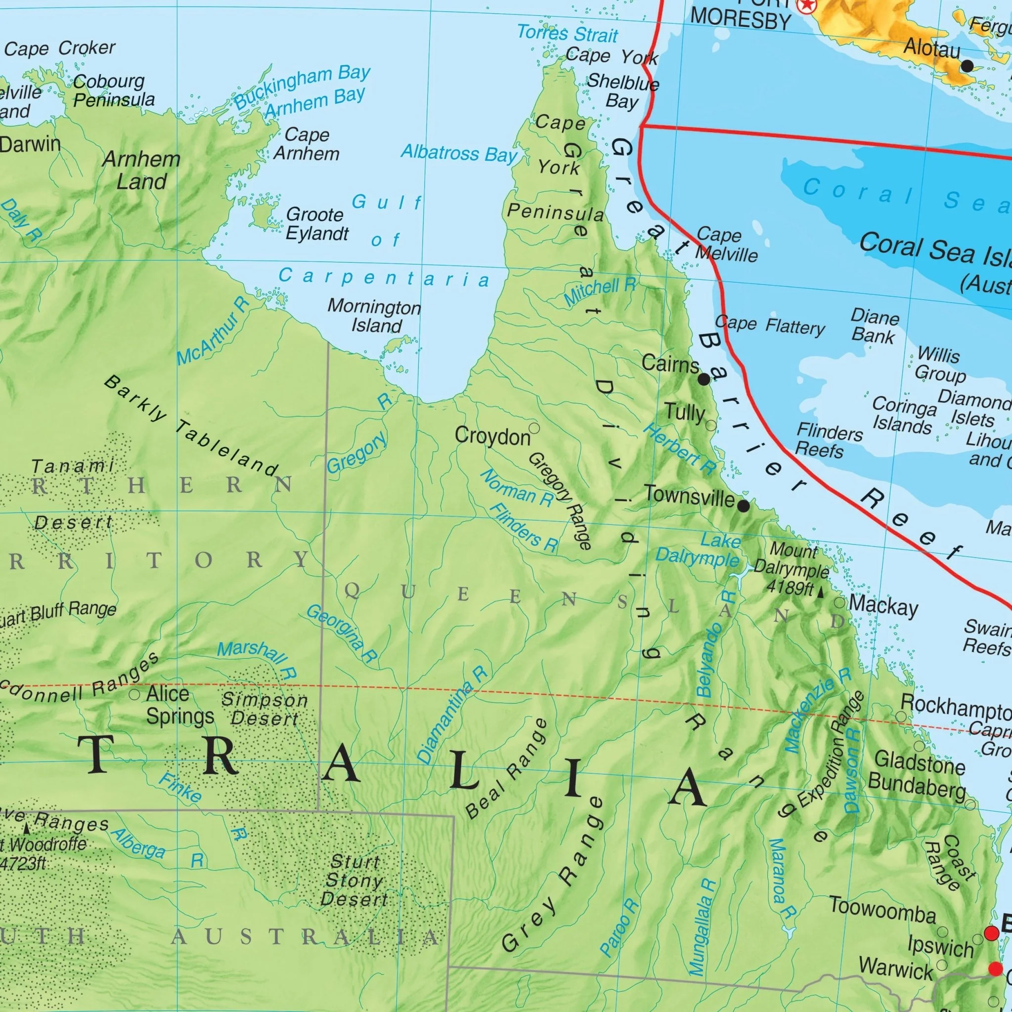
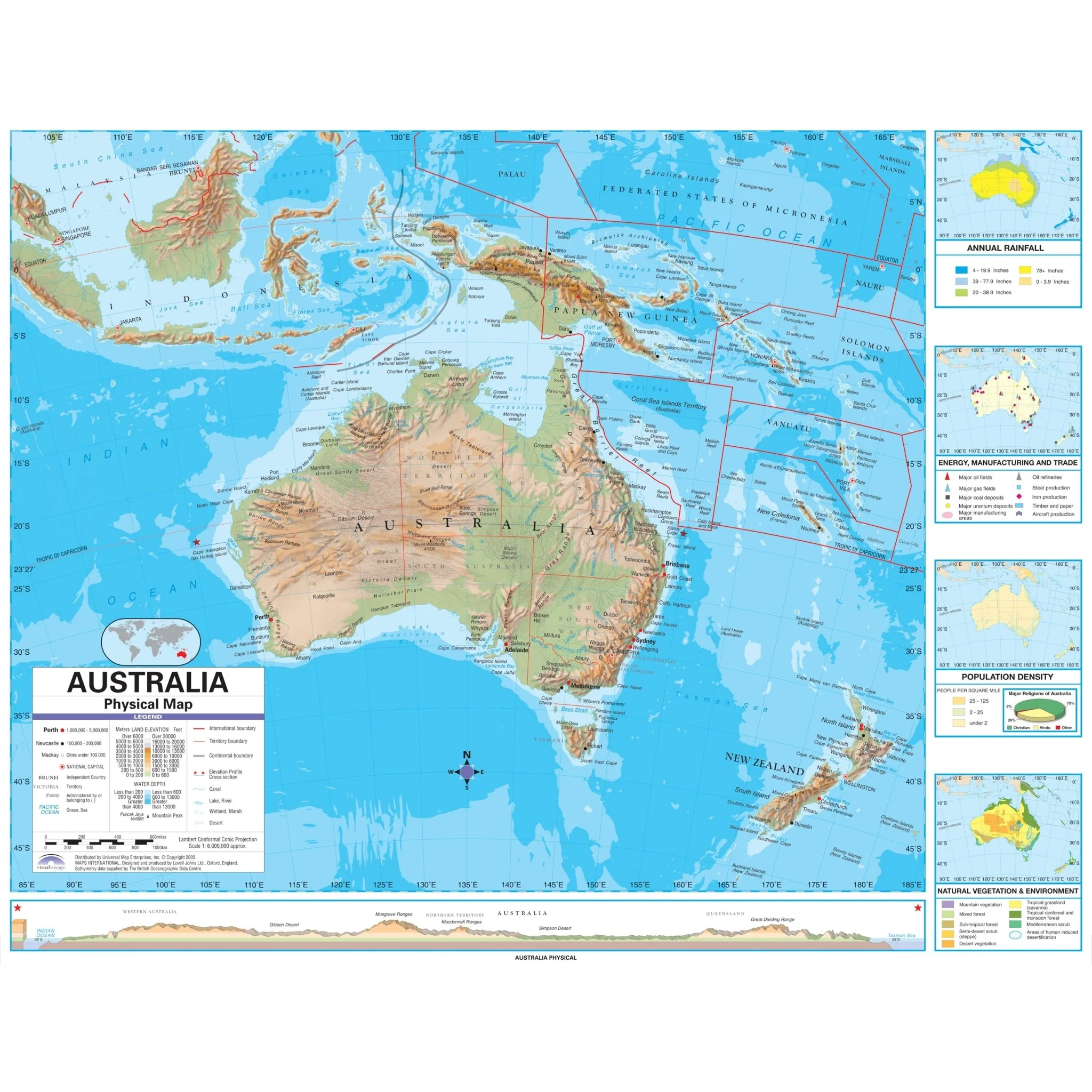
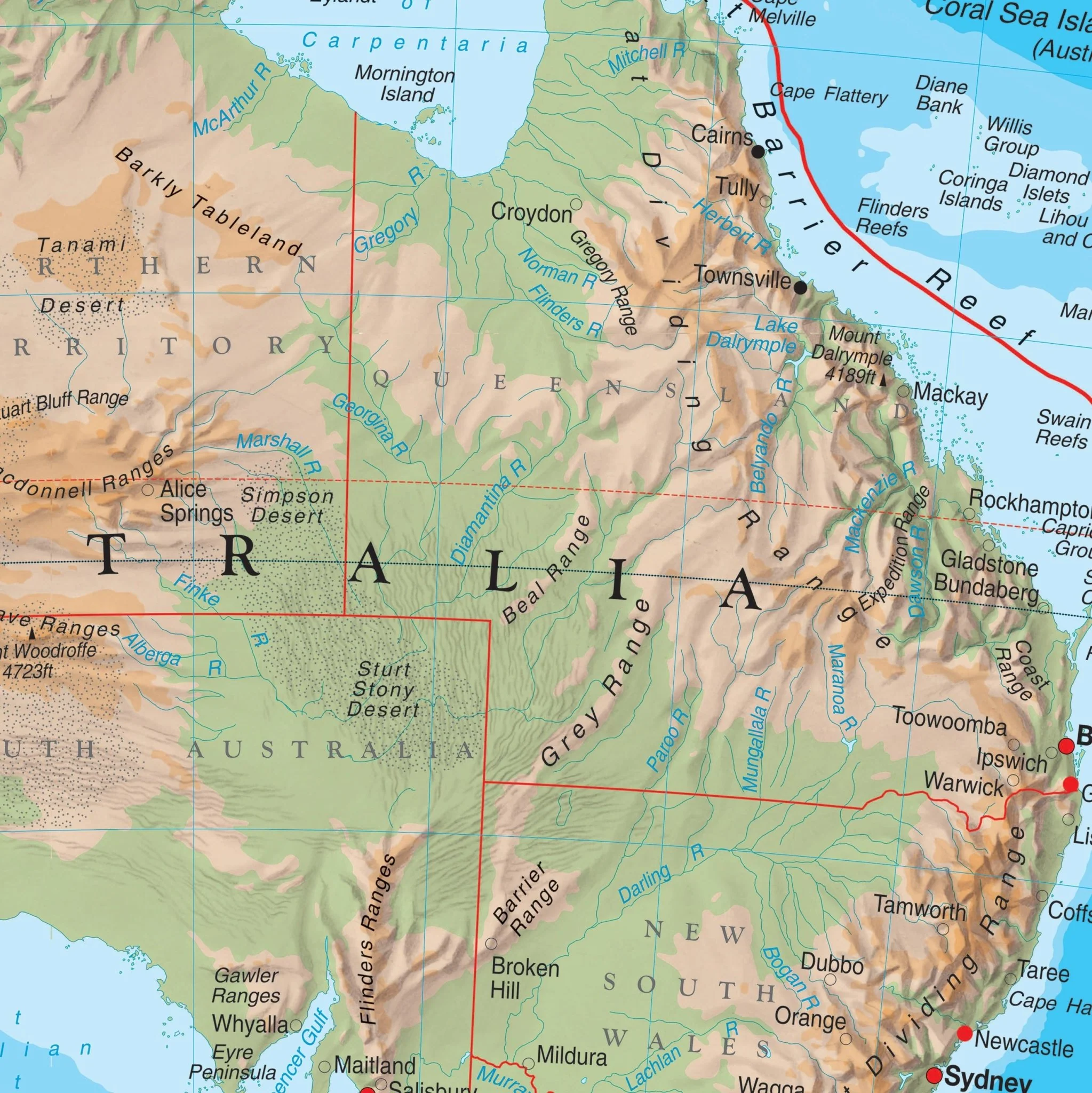
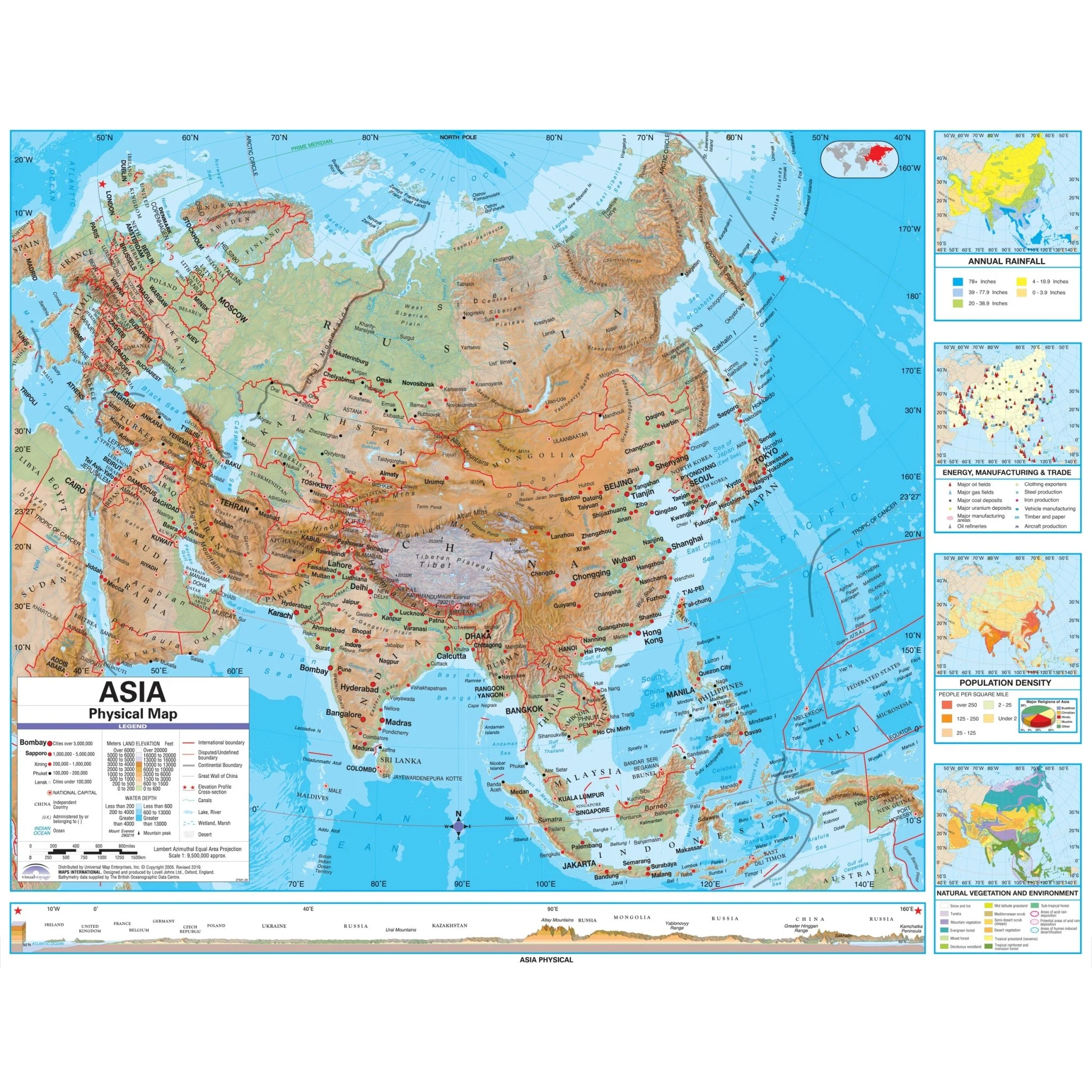
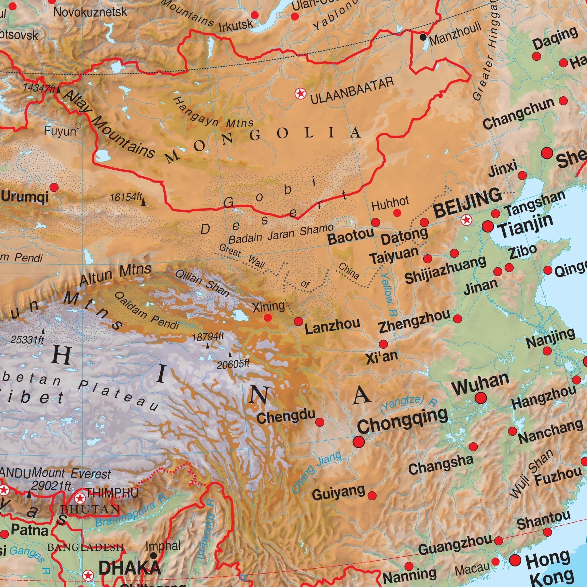
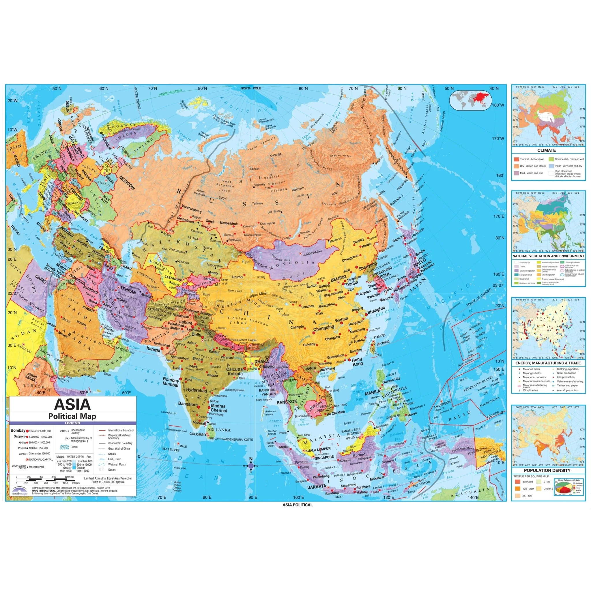
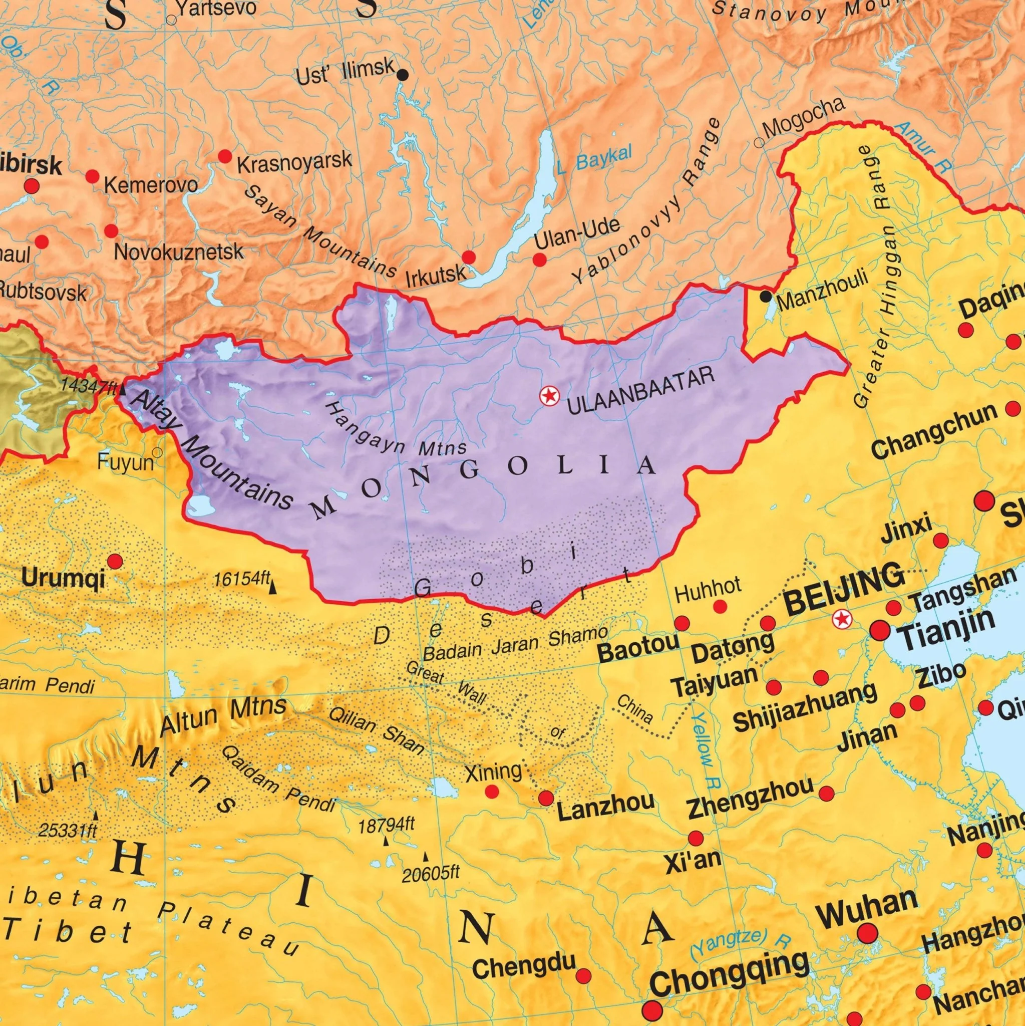
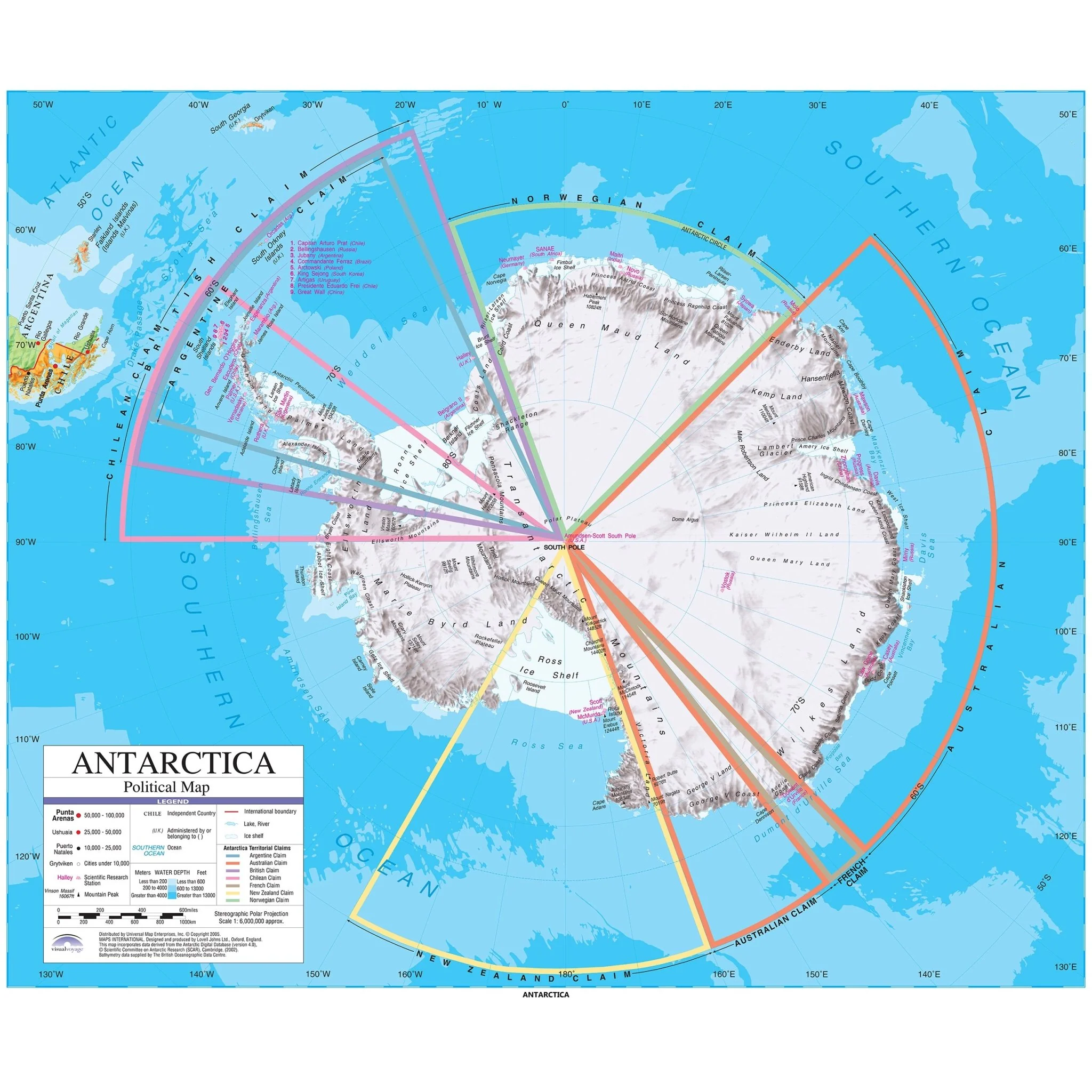
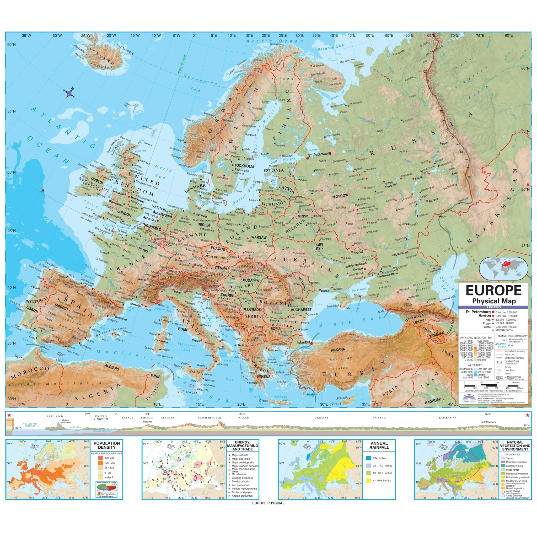
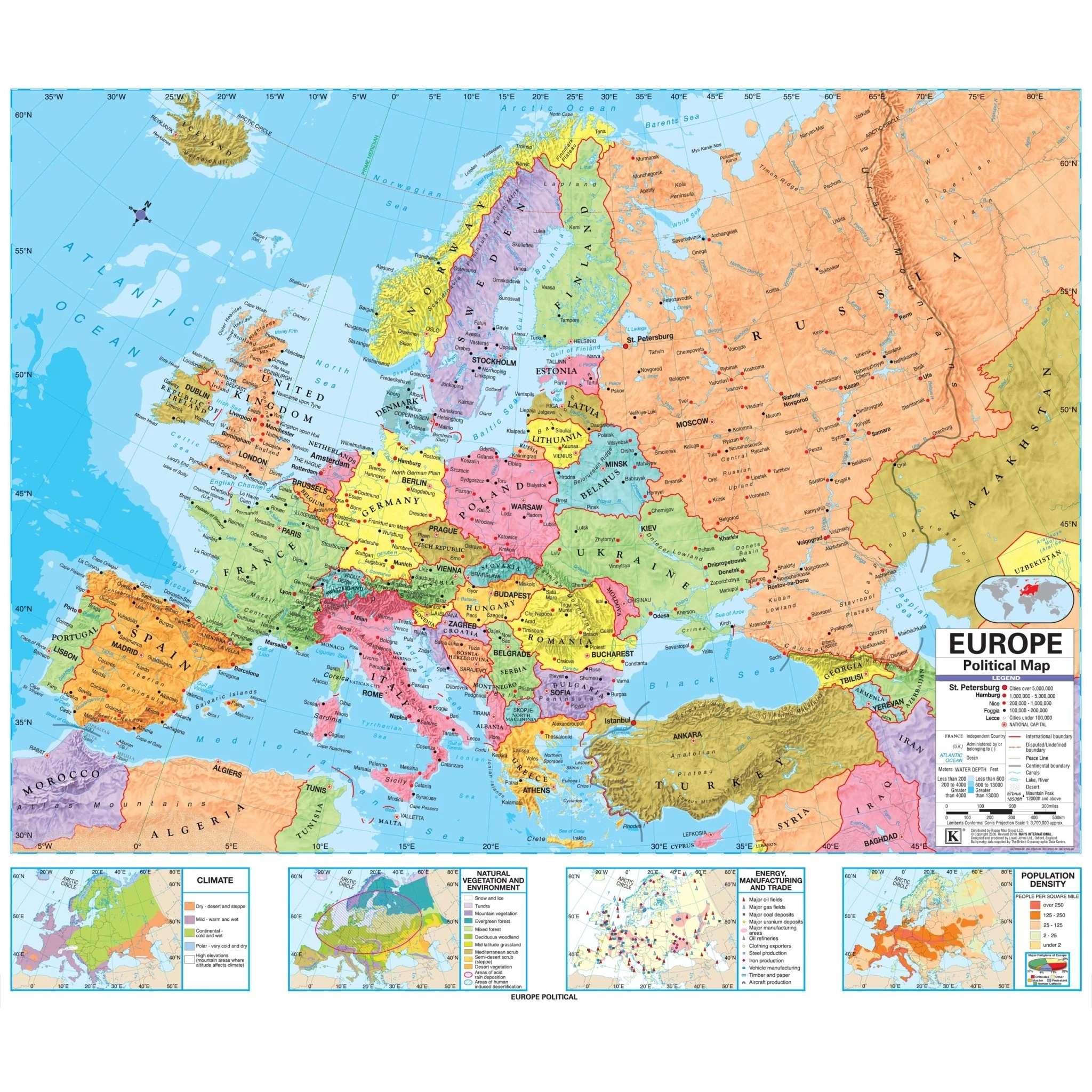
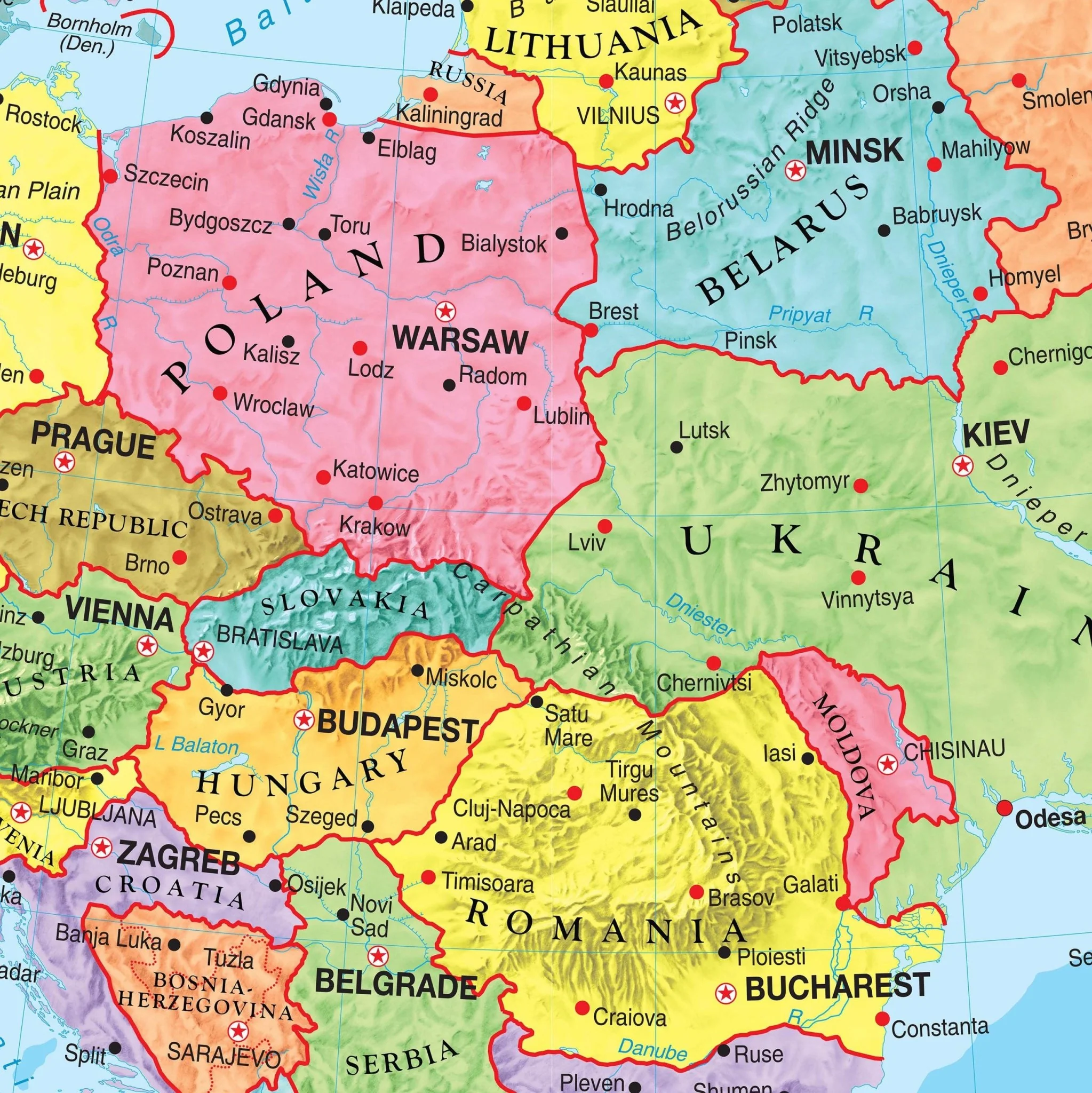
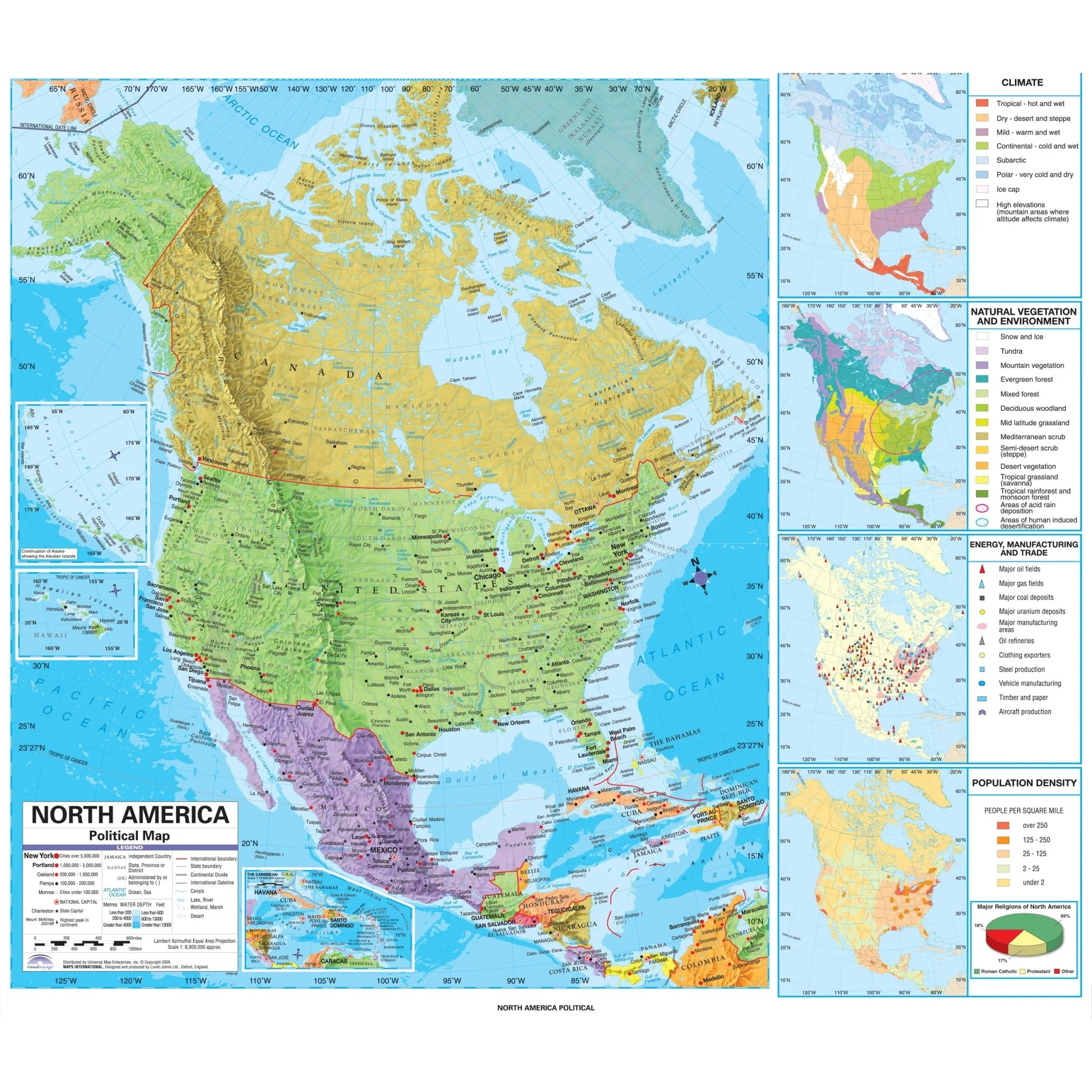
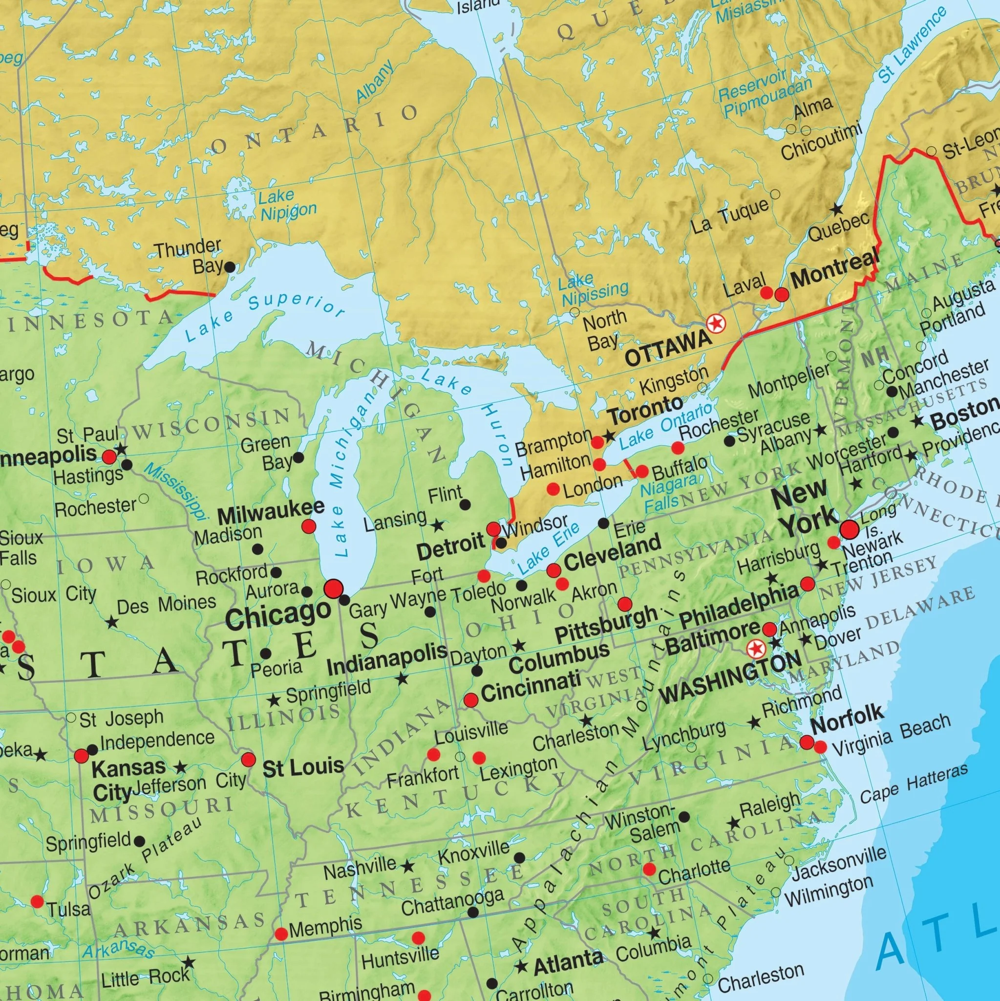
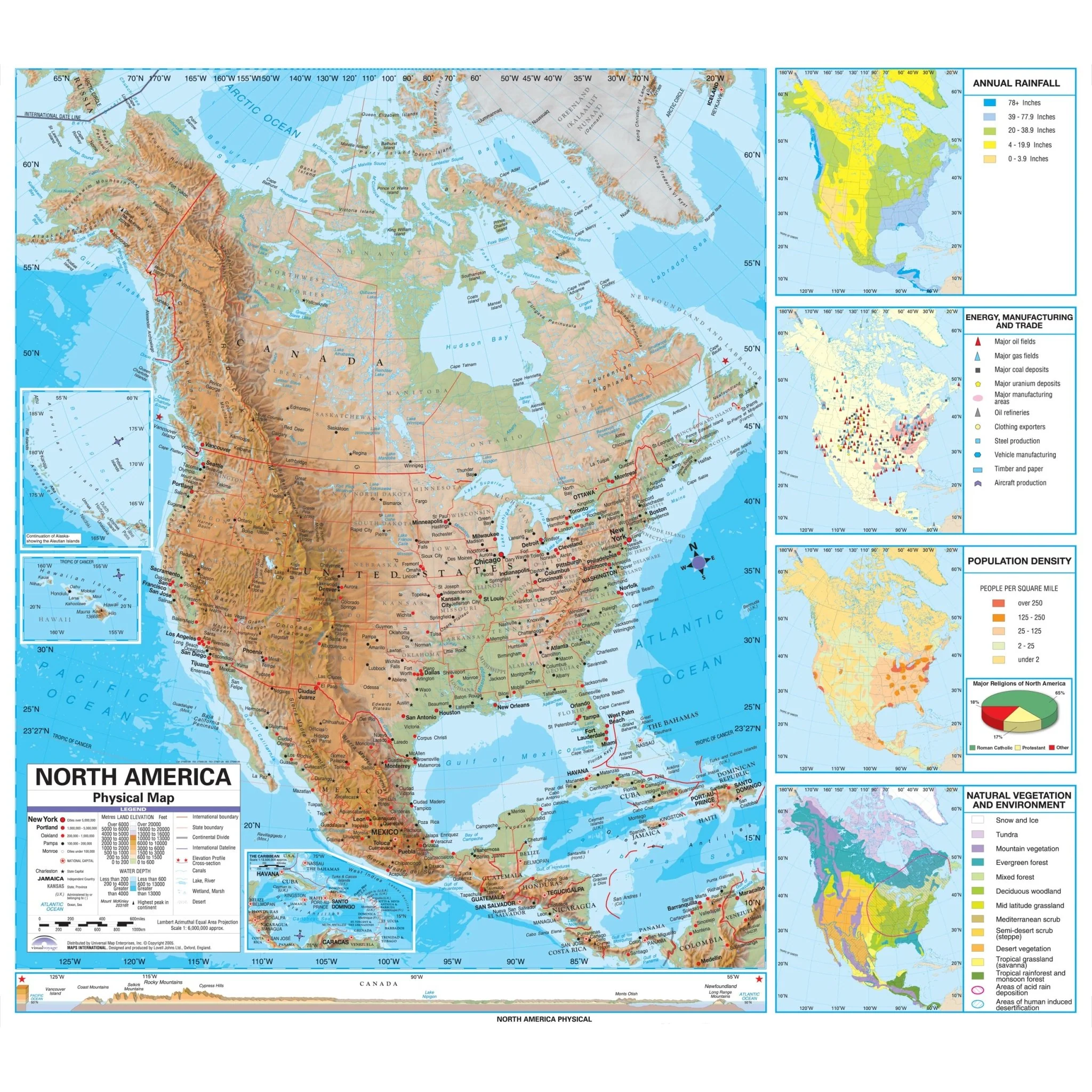
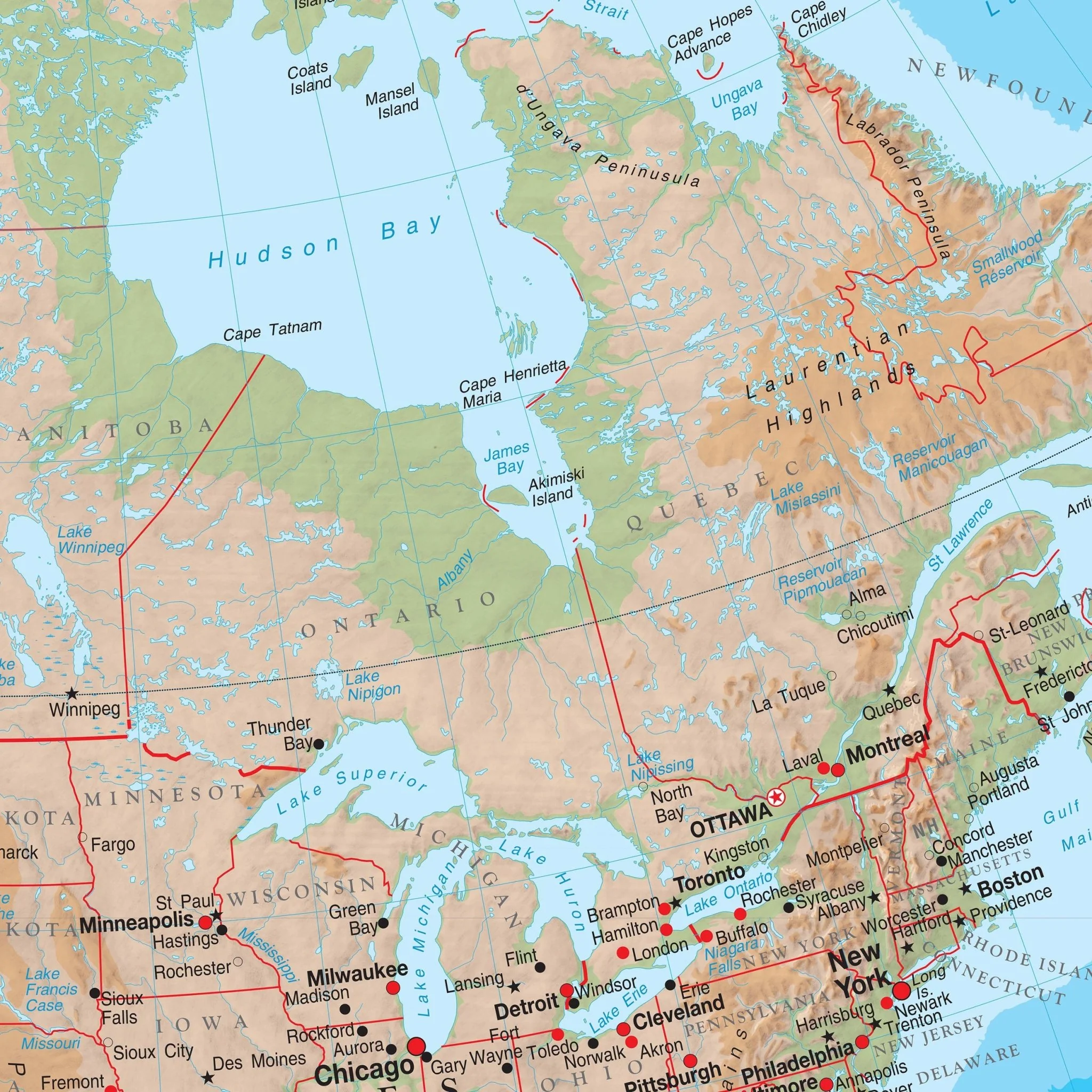
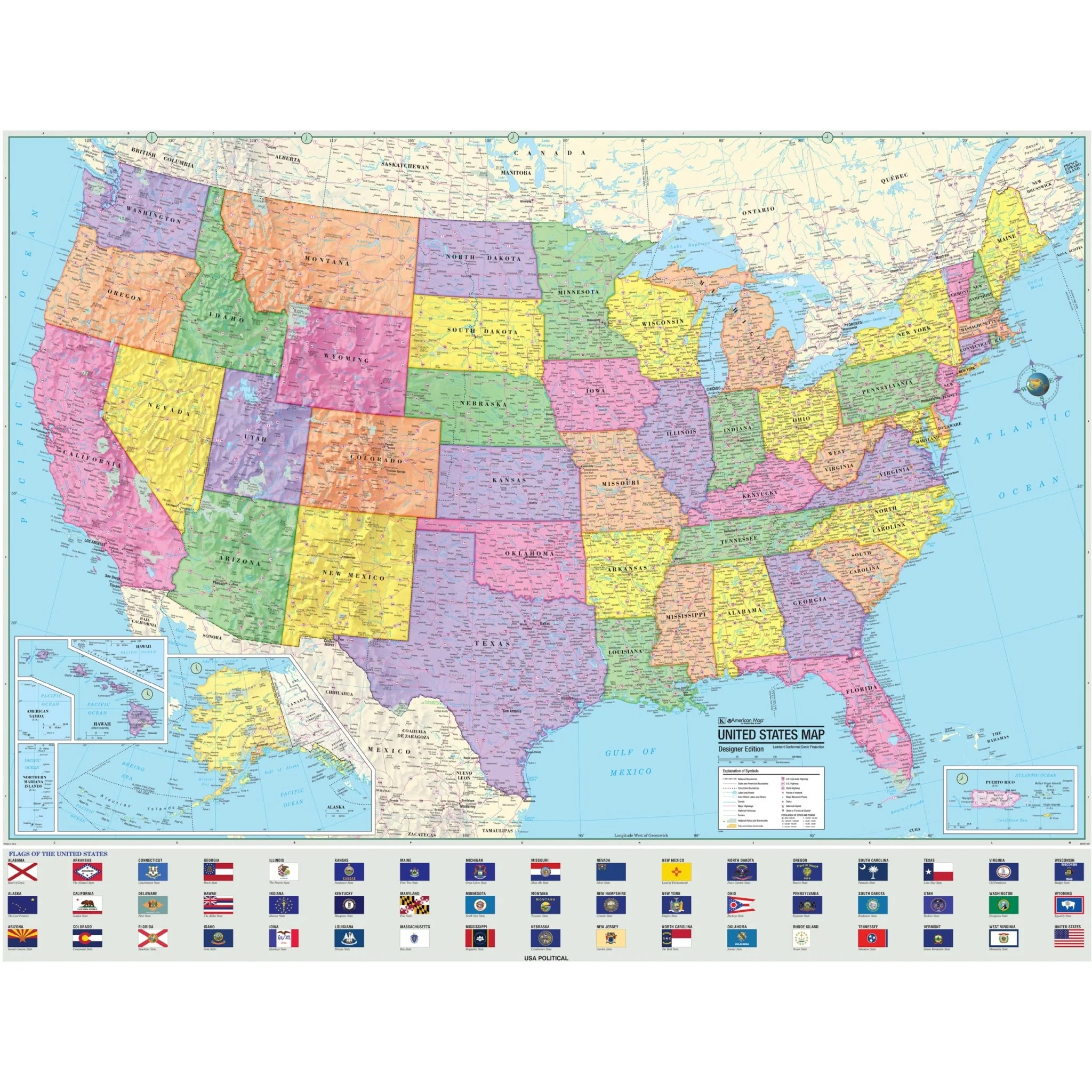
The Advanced Political Wall Map series by Kappa Map Group is an exceptional educational resource tailored for grades 9-12, providing a comprehensive exploration of global political landscapes. This map features vibrant color-coded states, ensuring clear identification of political boundaries.
Within this map, you'll find:
- State boundaries
- State capitals
- State flags
- Major cities
- Major highways
- Latitude and longitude lines with an emphasis on major latitudes
- Various physical features
Furthermore, the inclusion of shaded relief adds depth to the representation of landscapes, making the maps not only informative but visually engaging. The Advanced Political Wall Map series is an invaluable tool for educators and students seeking a deeper understanding of global political dynamics and geography.
Target Grade Range: 9 through 12
Sizes: 63" x 48" | 47" x 36"
Published: 2011
Original: $79.99
-70%$79.99
$24.00Product Information
Product Information
Shipping & Returns
Shipping & Returns
Description
The Advanced Political Wall Map series by Kappa Map Group is an exceptional educational resource tailored for grades 9-12, providing a comprehensive exploration of global political landscapes. This map features vibrant color-coded states, ensuring clear identification of political boundaries.
Within this map, you'll find:
- State boundaries
- State capitals
- State flags
- Major cities
- Major highways
- Latitude and longitude lines with an emphasis on major latitudes
- Various physical features
Furthermore, the inclusion of shaded relief adds depth to the representation of landscapes, making the maps not only informative but visually engaging. The Advanced Political Wall Map series is an invaluable tool for educators and students seeking a deeper understanding of global political dynamics and geography.
Target Grade Range: 9 through 12
Sizes: 63" x 48" | 47" x 36"
Published: 2011