Baton Rouge, LA Wall Map
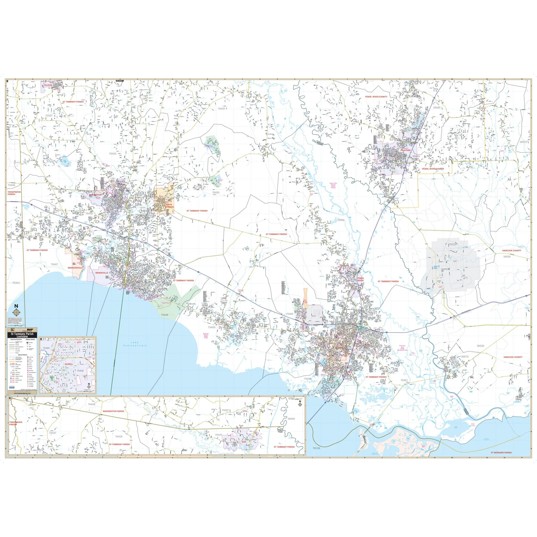
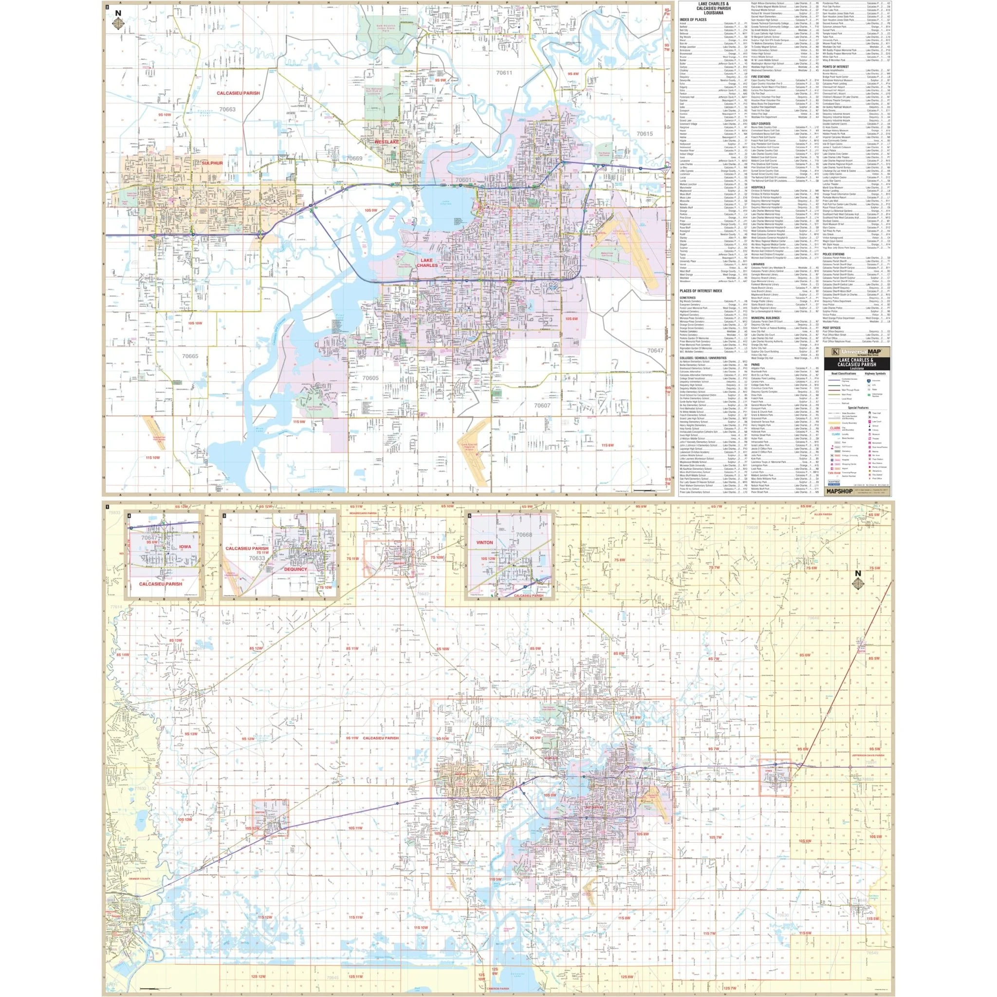
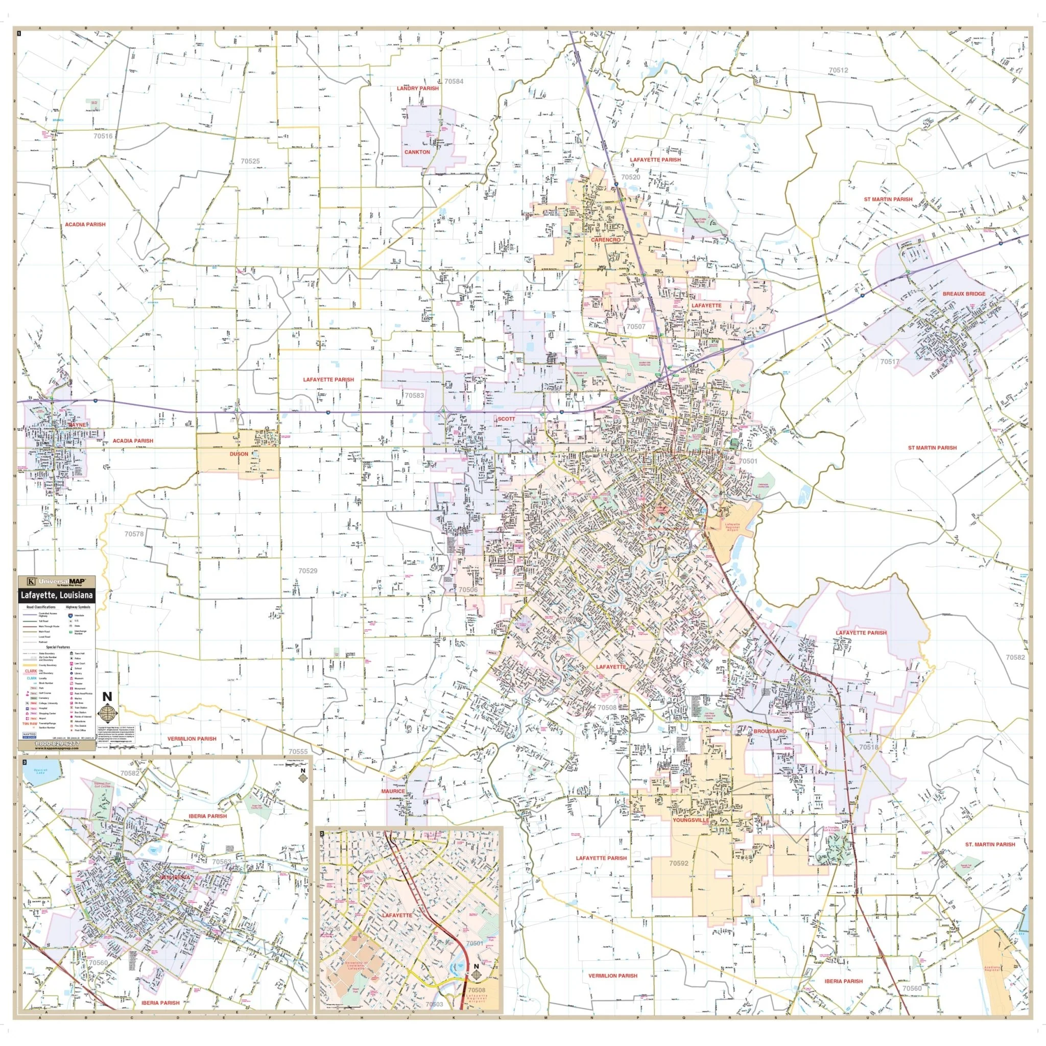
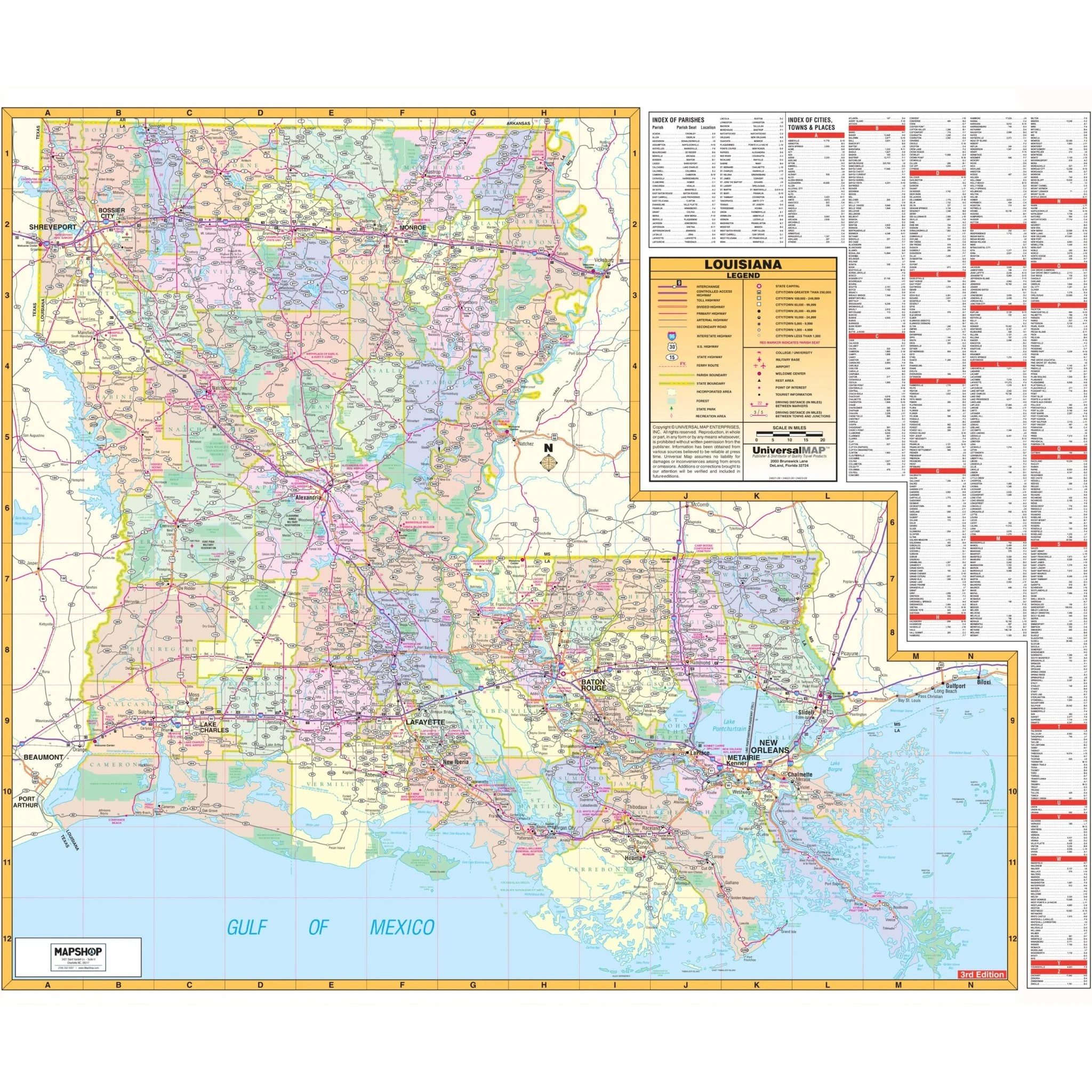
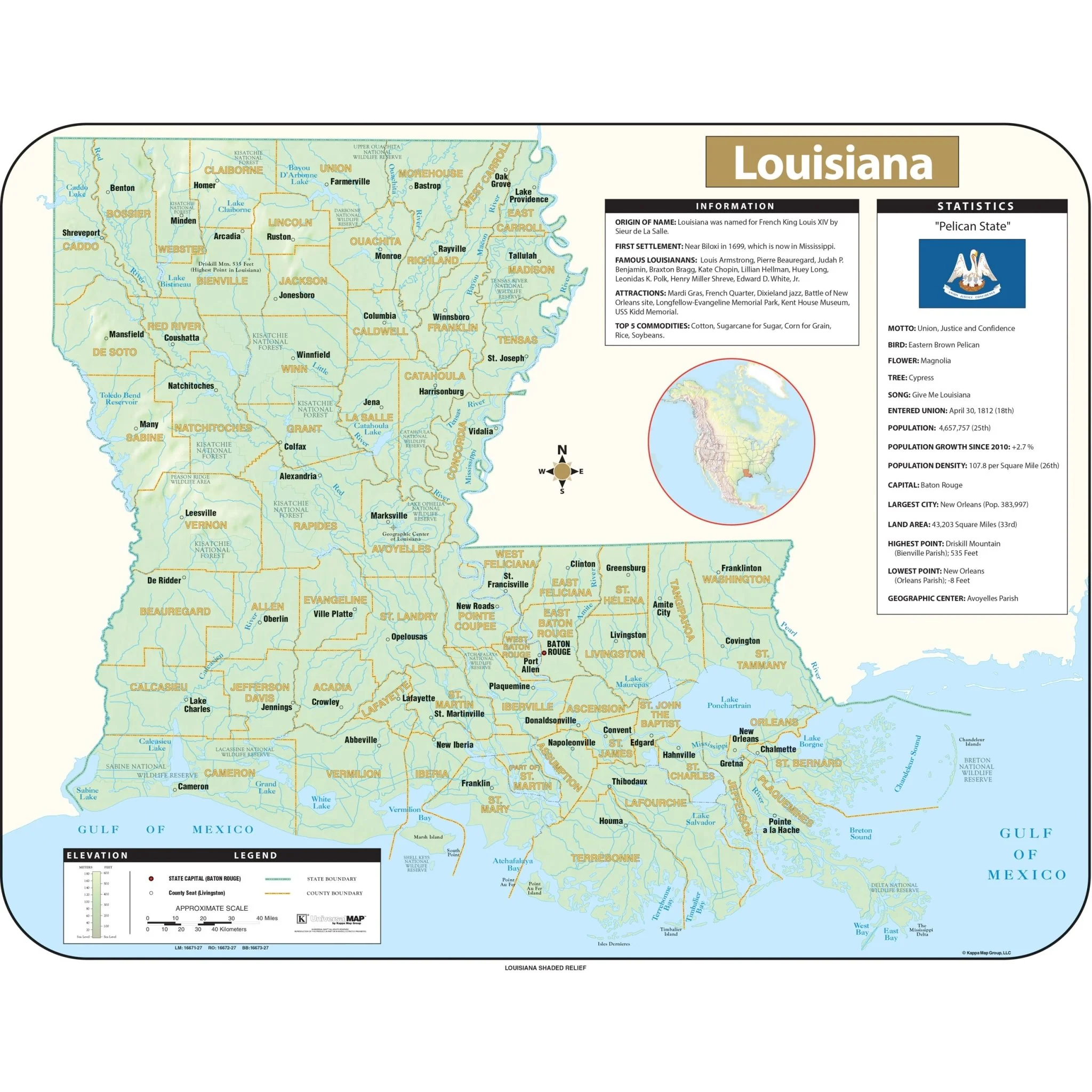
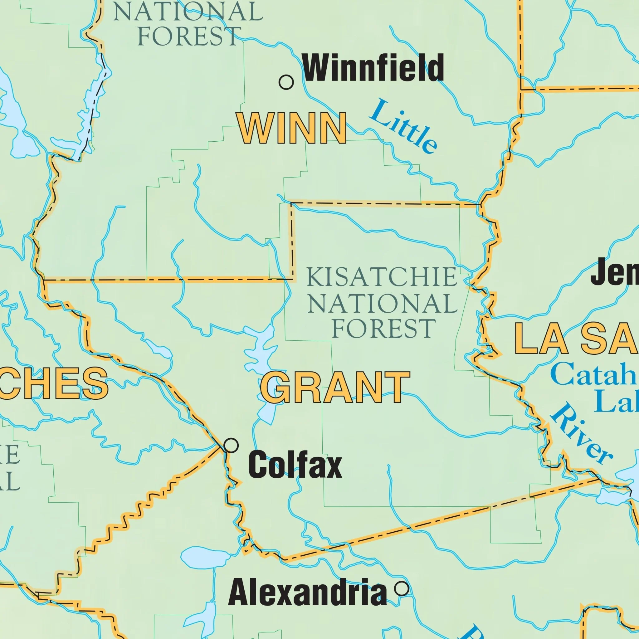
Explore the Baton Rouge, LA Wall Map, meticulously crafted to provide valuable insights into Baton Rouge and its surrounding areas. This comprehensive map covers all of Baton Rouge, extending from just north of the E. Feliciana Parish Line, including Slaughter, in the north, to Gonzalez in Ascension Parish and Louisiana Regional Airport in the south. To the east, it includes all of Walker in Livingston Parish, while to the west, it covers Carey, Brusly, Addis, Port Allen, and Plaquemine, delivering a complete view of the area.
The map is rich in essential details, featuring streets, airports, government buildings, post offices, cemeteries, fire and police stations, hospitals, shopping centers, educational institutions, railroads, water features, golf and country clubs, mileage circles, recreational parks, ZIP codes and boundaries, as well as block numbers. This comprehensive map serves as an invaluable resource for exploring Baton Rouge and its vicinity.
Size: 57" x 73.5"
Published: 2015
Original: $149.99
-70%$149.99
$45.00Product Information
Product Information
Shipping & Returns
Shipping & Returns
Description
Explore the Baton Rouge, LA Wall Map, meticulously crafted to provide valuable insights into Baton Rouge and its surrounding areas. This comprehensive map covers all of Baton Rouge, extending from just north of the E. Feliciana Parish Line, including Slaughter, in the north, to Gonzalez in Ascension Parish and Louisiana Regional Airport in the south. To the east, it includes all of Walker in Livingston Parish, while to the west, it covers Carey, Brusly, Addis, Port Allen, and Plaquemine, delivering a complete view of the area.
The map is rich in essential details, featuring streets, airports, government buildings, post offices, cemeteries, fire and police stations, hospitals, shopping centers, educational institutions, railroads, water features, golf and country clubs, mileage circles, recreational parks, ZIP codes and boundaries, as well as block numbers. This comprehensive map serves as an invaluable resource for exploring Baton Rouge and its vicinity.
Size: 57" x 73.5"
Published: 2015