


Louisiana State Wall Map
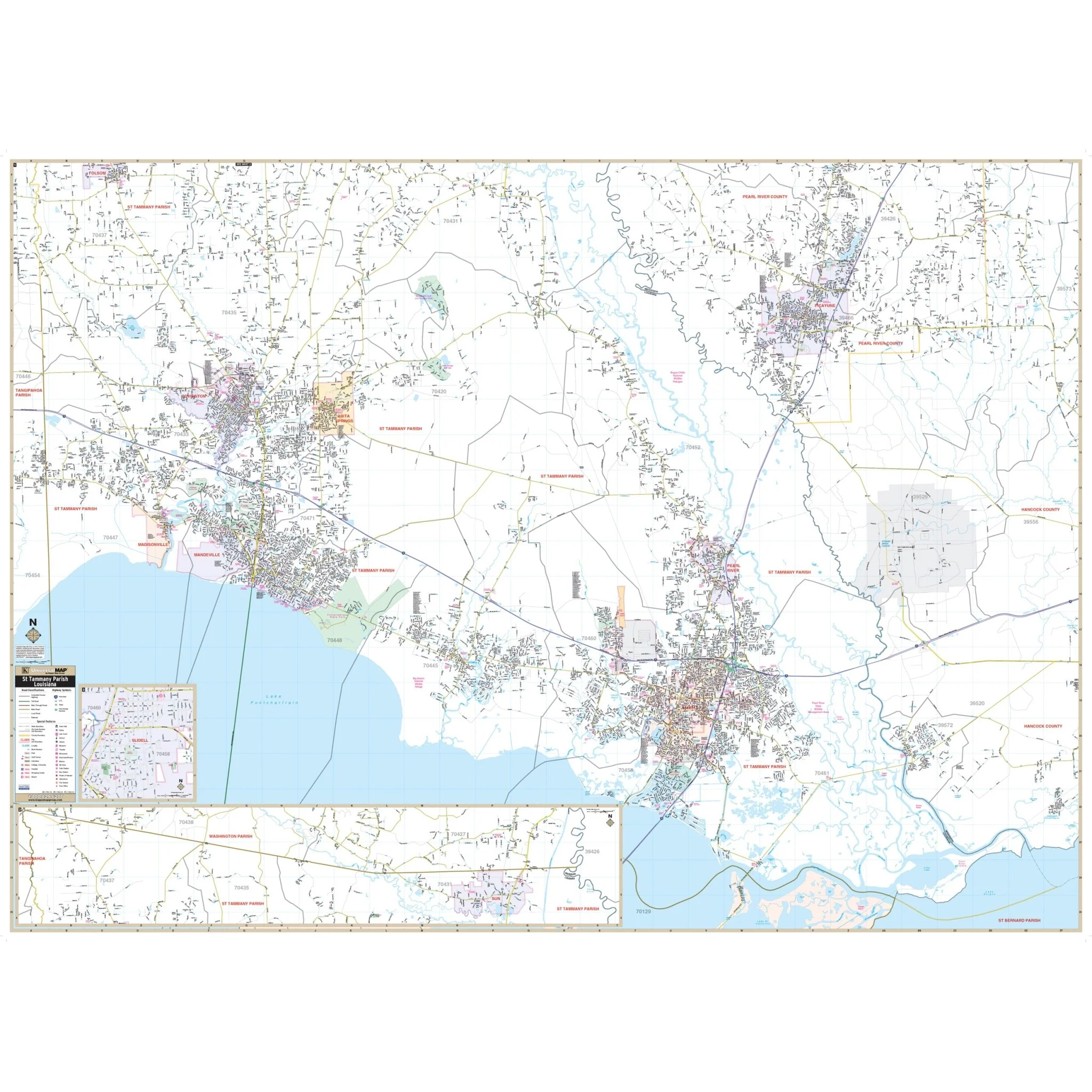
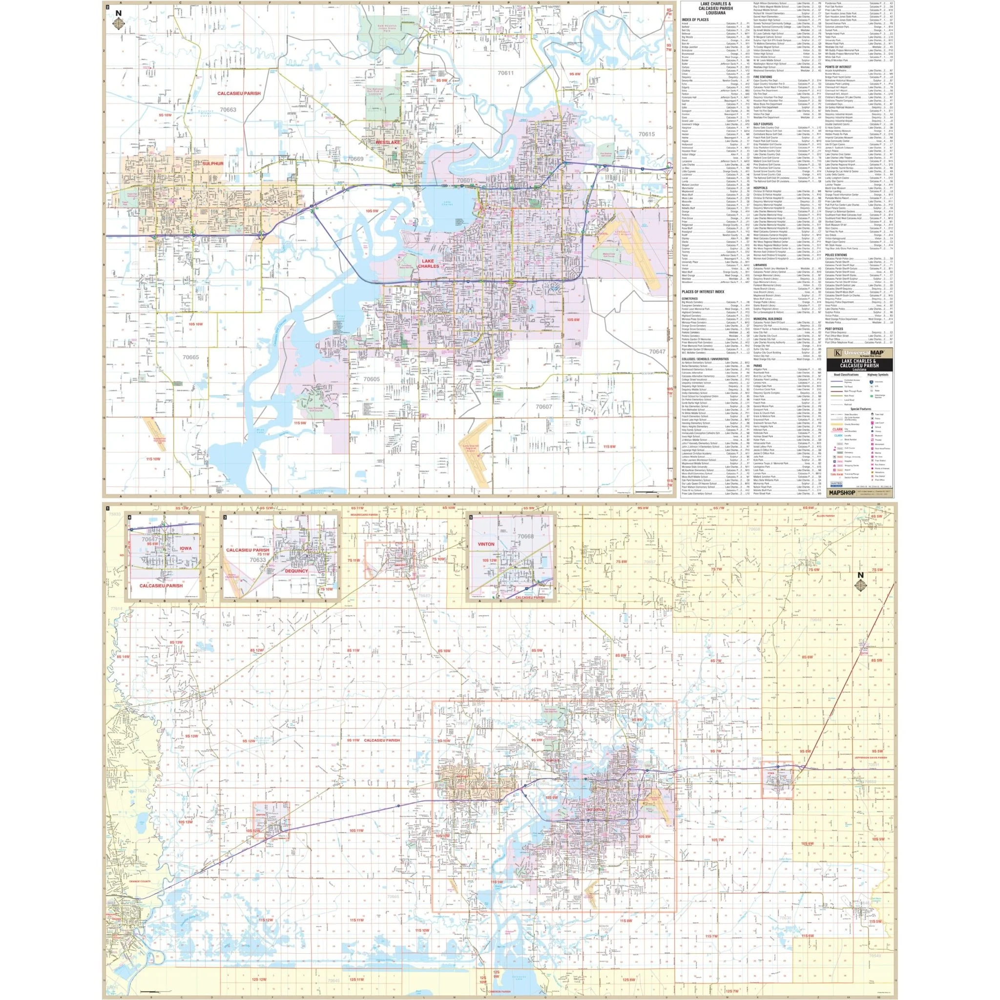
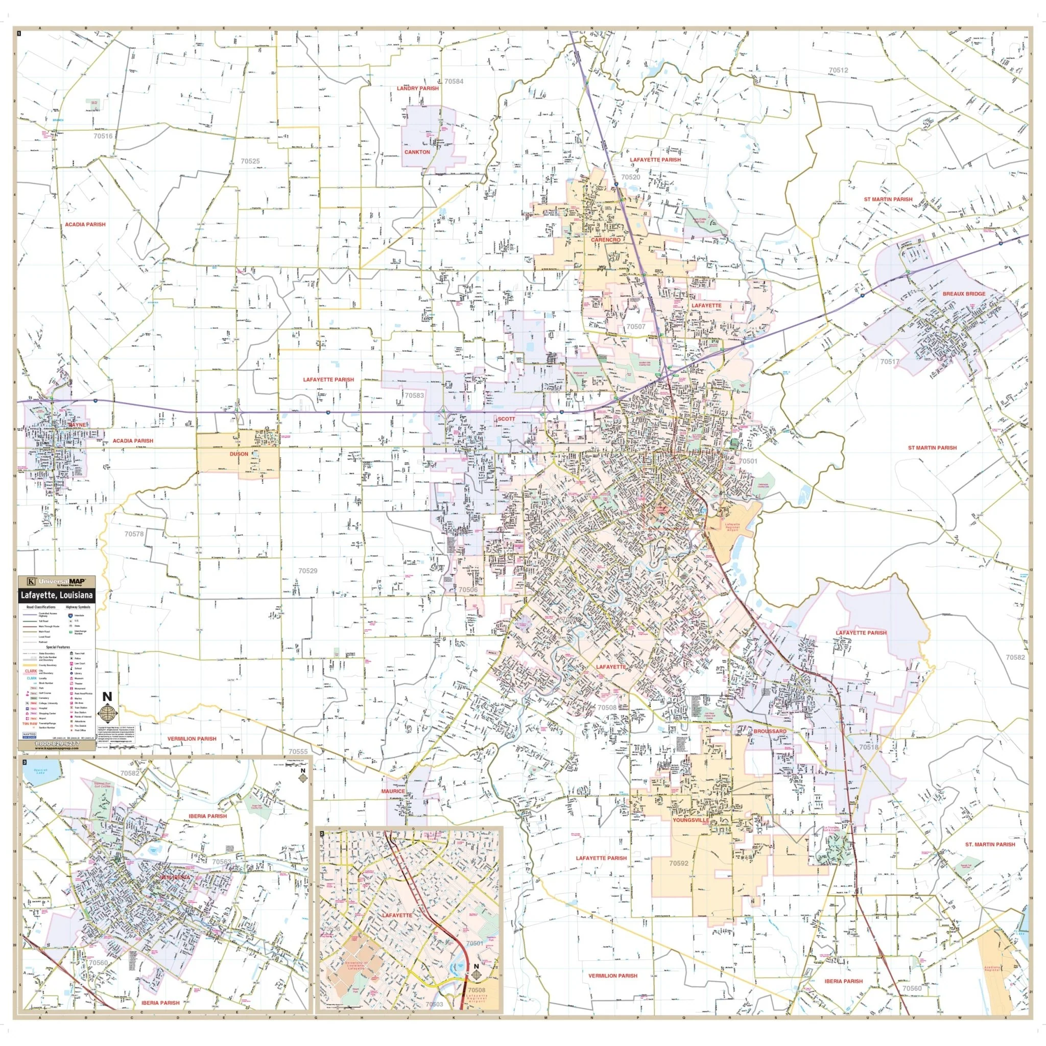
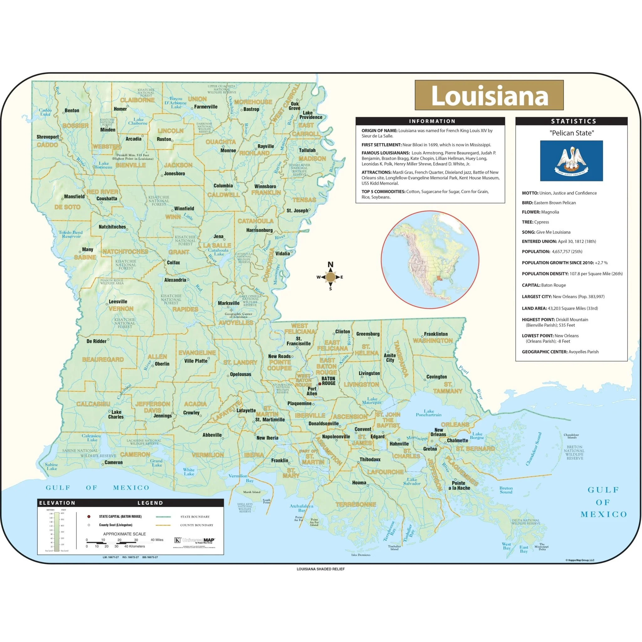
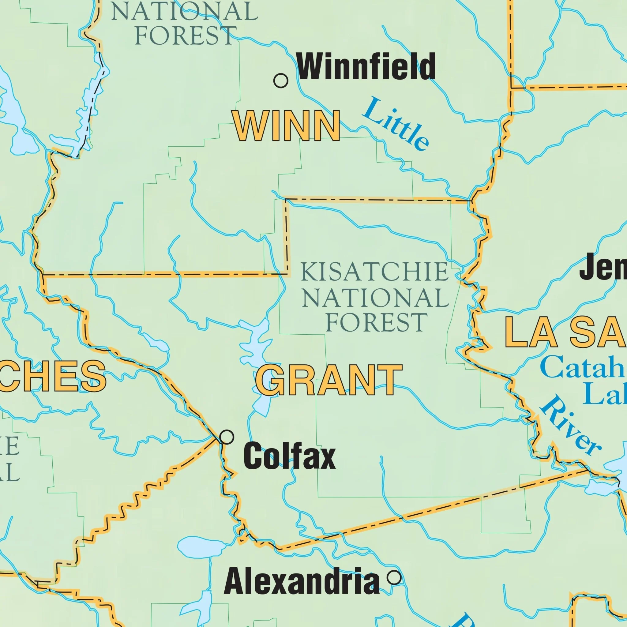
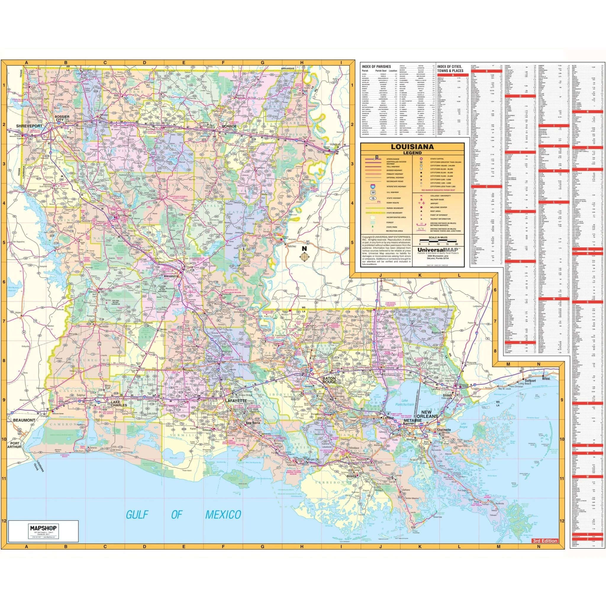
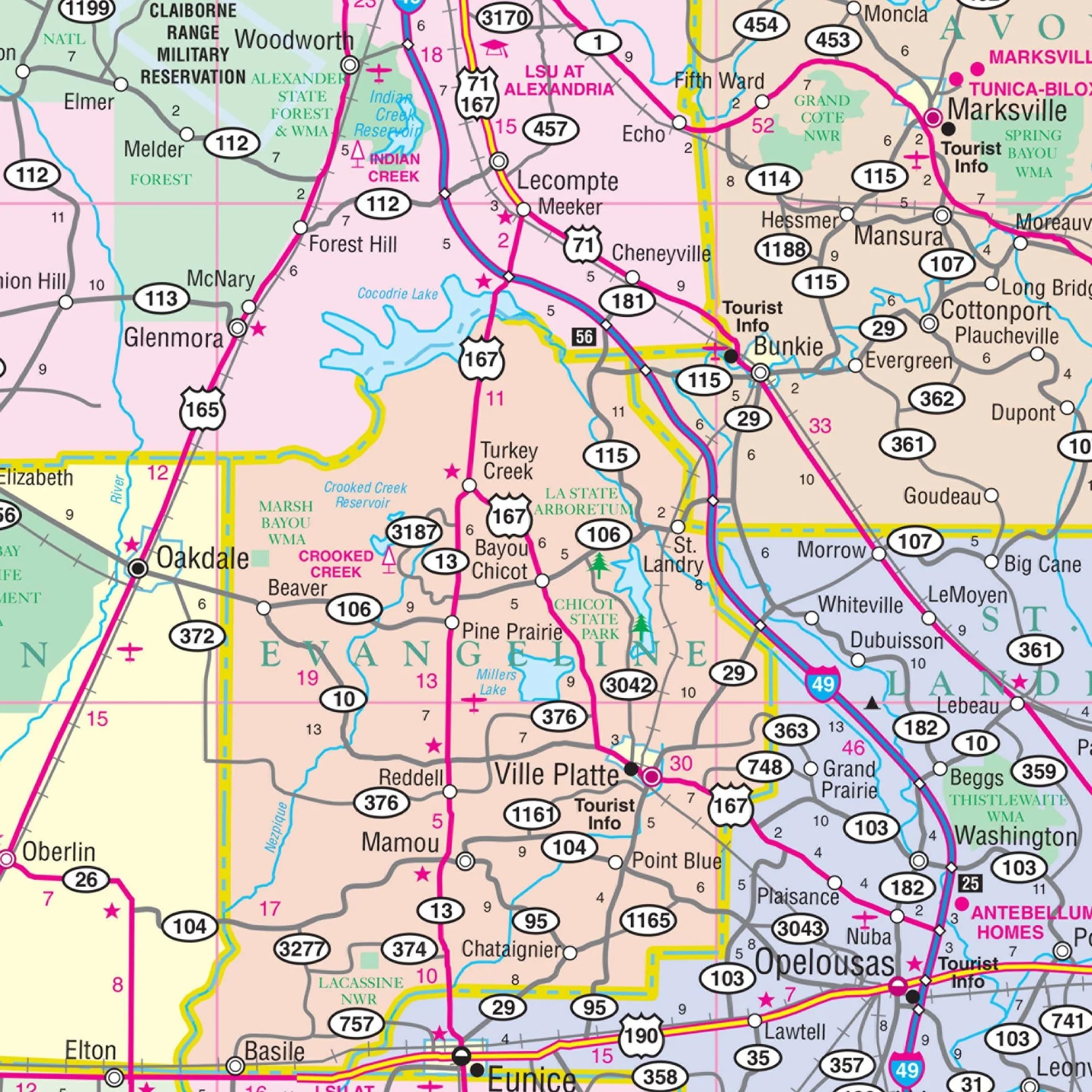
The Louisiana State Wall Map is a detailed representation of the state, highlighting color-coded parishes along with their names. This map includes a wide array of features and data, such as all state and federal highways, major waterways, towns, military installations, major airports, state universities, cities, state parks, wildlife areas, and various points of interest. The scale of the map is set to provide a comprehensive overview, with a focus on accuracy and clarity in depicting the geographical and infrastructural aspects of Louisiana. This map serves as a valuable resource for educational, professional, and personal use, offering a detailed view of Louisiana's landscape and key locations.
Size: 60" x 50"
Published: 2006
Product Information
Product Information
Shipping & Returns
Shipping & Returns
Description
The Louisiana State Wall Map is a detailed representation of the state, highlighting color-coded parishes along with their names. This map includes a wide array of features and data, such as all state and federal highways, major waterways, towns, military installations, major airports, state universities, cities, state parks, wildlife areas, and various points of interest. The scale of the map is set to provide a comprehensive overview, with a focus on accuracy and clarity in depicting the geographical and infrastructural aspects of Louisiana. This map serves as a valuable resource for educational, professional, and personal use, offering a detailed view of Louisiana's landscape and key locations.
Size: 60" x 50"
Published: 2006