


Lafayette Parish, LA Wall Map
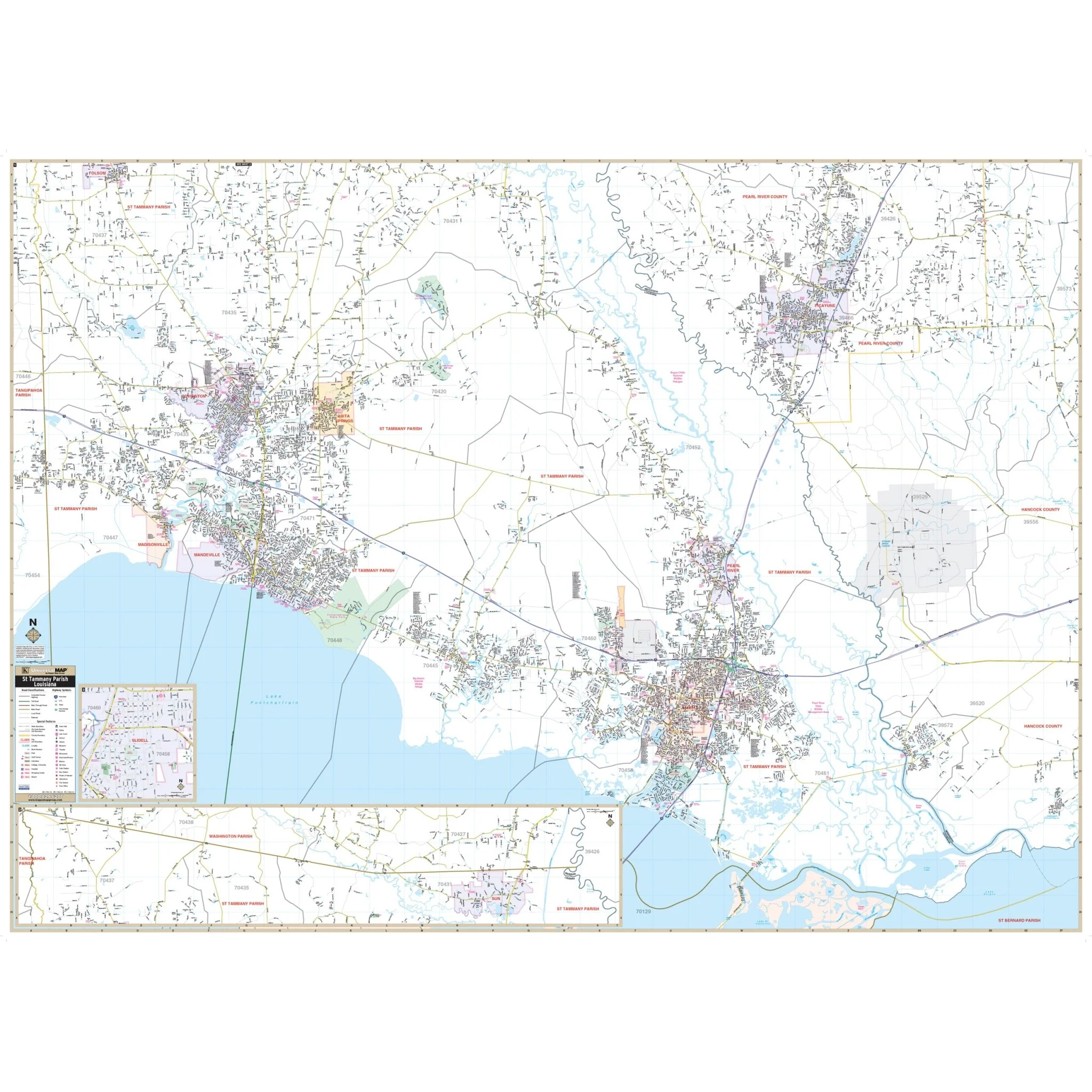
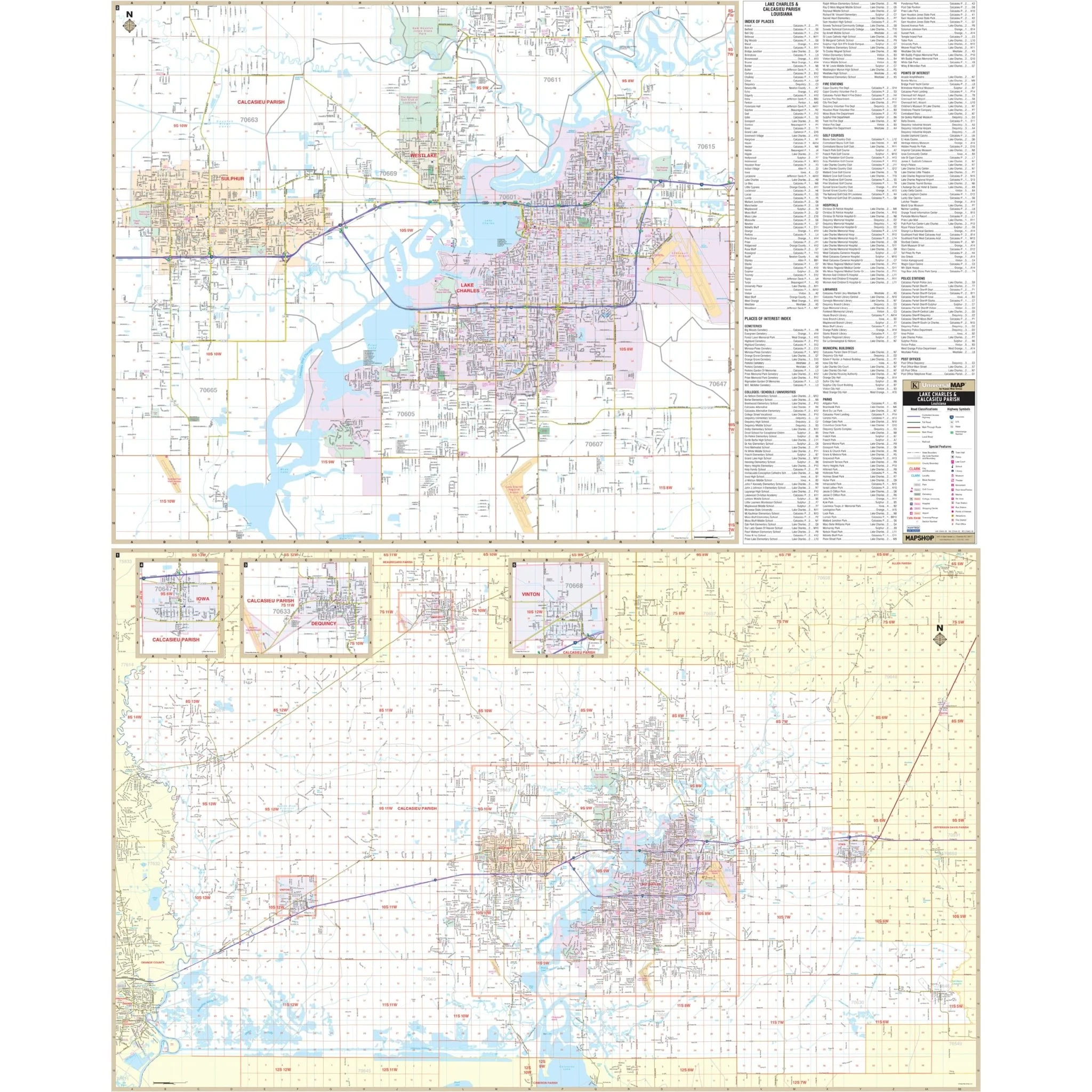
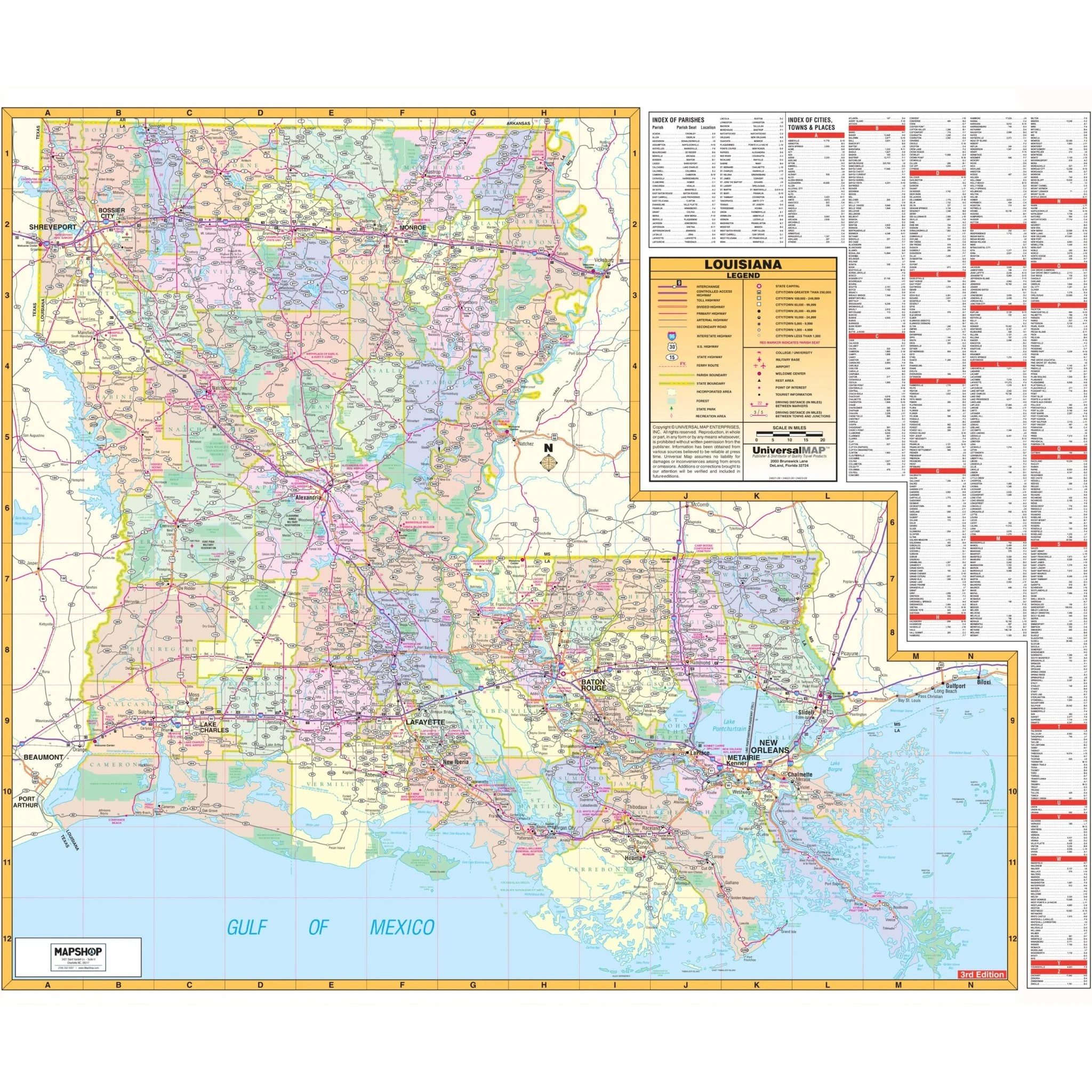
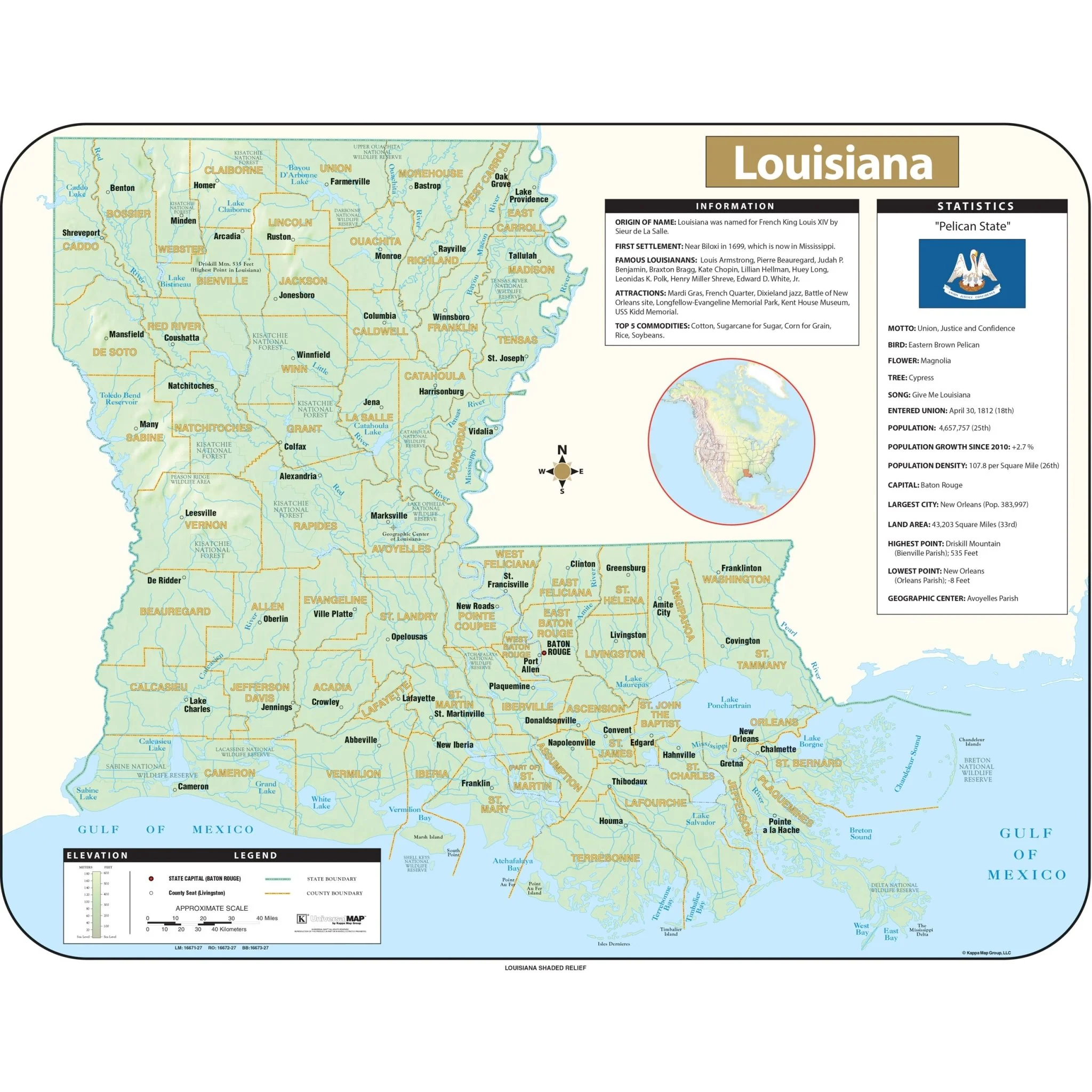
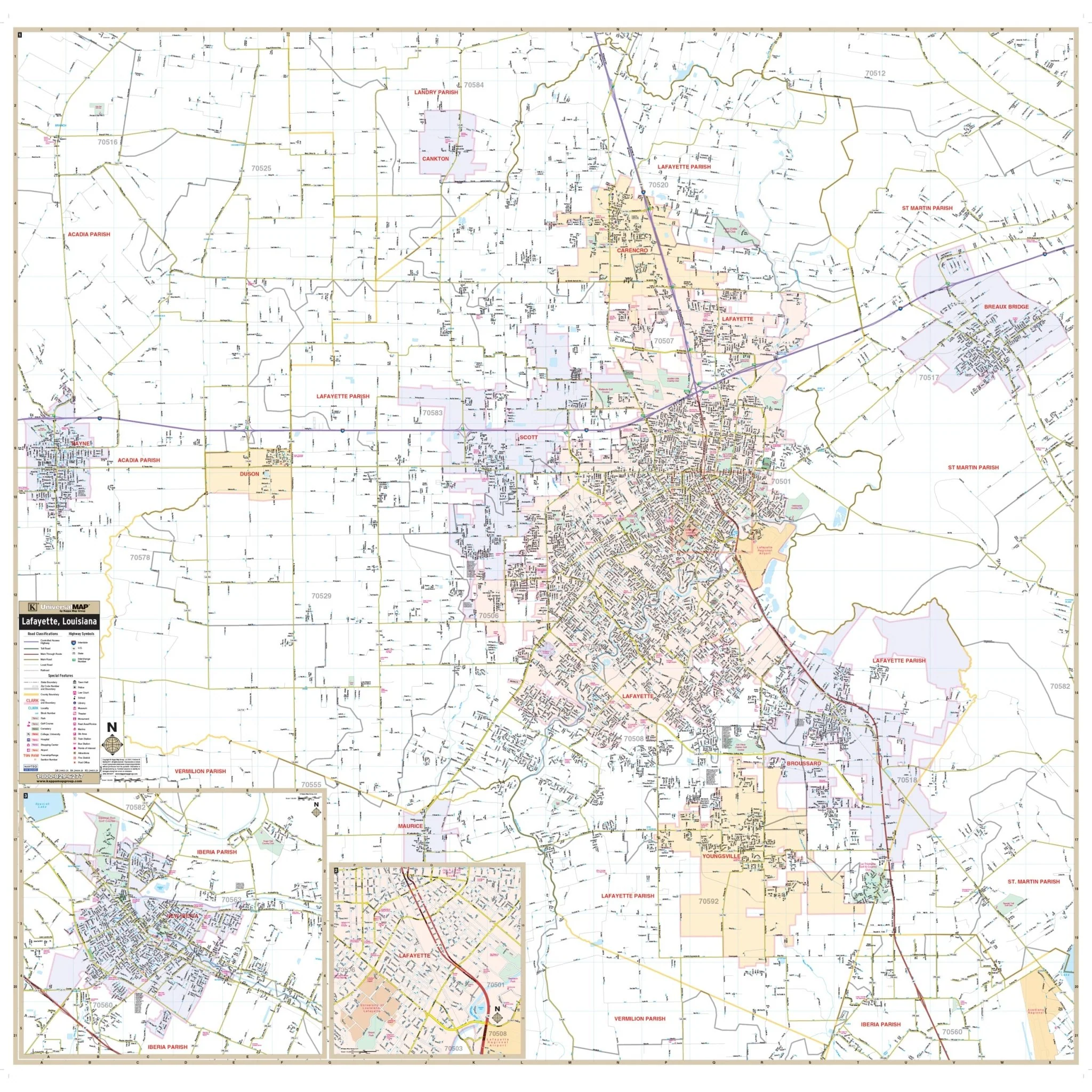
Discover the Lafayette Parish, LA Wall Map, offering a comprehensive view of Lafayette Parish and its surroundings. This detailed map spans across Lafayette Parish, encompassing all its regions, from the northern boundary to the southern limit. To the east, it extends to Breaux Bridge in St. Martin Parish, and to the west, it includes Rayne in Acadia Parish, providing a complete overview of Lafayette Parish and its neighboring areas.
The Lafayette Parish Wall Map features a wealth of essential information, including the locations of airports, cemeteries, city limits (color-coded), educational institutions, fire and police stations, golf and country clubs, government buildings, hospitals, libraries, points of interest, post offices, railroads, recreational parks, shopping centers, streets and highways, as well as water features. Additionally, it outlines ZIP code boundaries, making it a valuable resource for exploring Lafayette Parish.
Whether you're a resident or visitor, this map serves as a valuable tool for navigating Lafayette Parish and discovering its diverse features.
Size: 55.25" x 54"
Published: 2012
Original: $139.99
-70%$139.99
$42.00Product Information
Product Information
Shipping & Returns
Shipping & Returns
Description
Discover the Lafayette Parish, LA Wall Map, offering a comprehensive view of Lafayette Parish and its surroundings. This detailed map spans across Lafayette Parish, encompassing all its regions, from the northern boundary to the southern limit. To the east, it extends to Breaux Bridge in St. Martin Parish, and to the west, it includes Rayne in Acadia Parish, providing a complete overview of Lafayette Parish and its neighboring areas.
The Lafayette Parish Wall Map features a wealth of essential information, including the locations of airports, cemeteries, city limits (color-coded), educational institutions, fire and police stations, golf and country clubs, government buildings, hospitals, libraries, points of interest, post offices, railroads, recreational parks, shopping centers, streets and highways, as well as water features. Additionally, it outlines ZIP code boundaries, making it a valuable resource for exploring Lafayette Parish.
Whether you're a resident or visitor, this map serves as a valuable tool for navigating Lafayette Parish and discovering its diverse features.
Size: 55.25" x 54"
Published: 2012