


Elkhart County, IN Wall Map
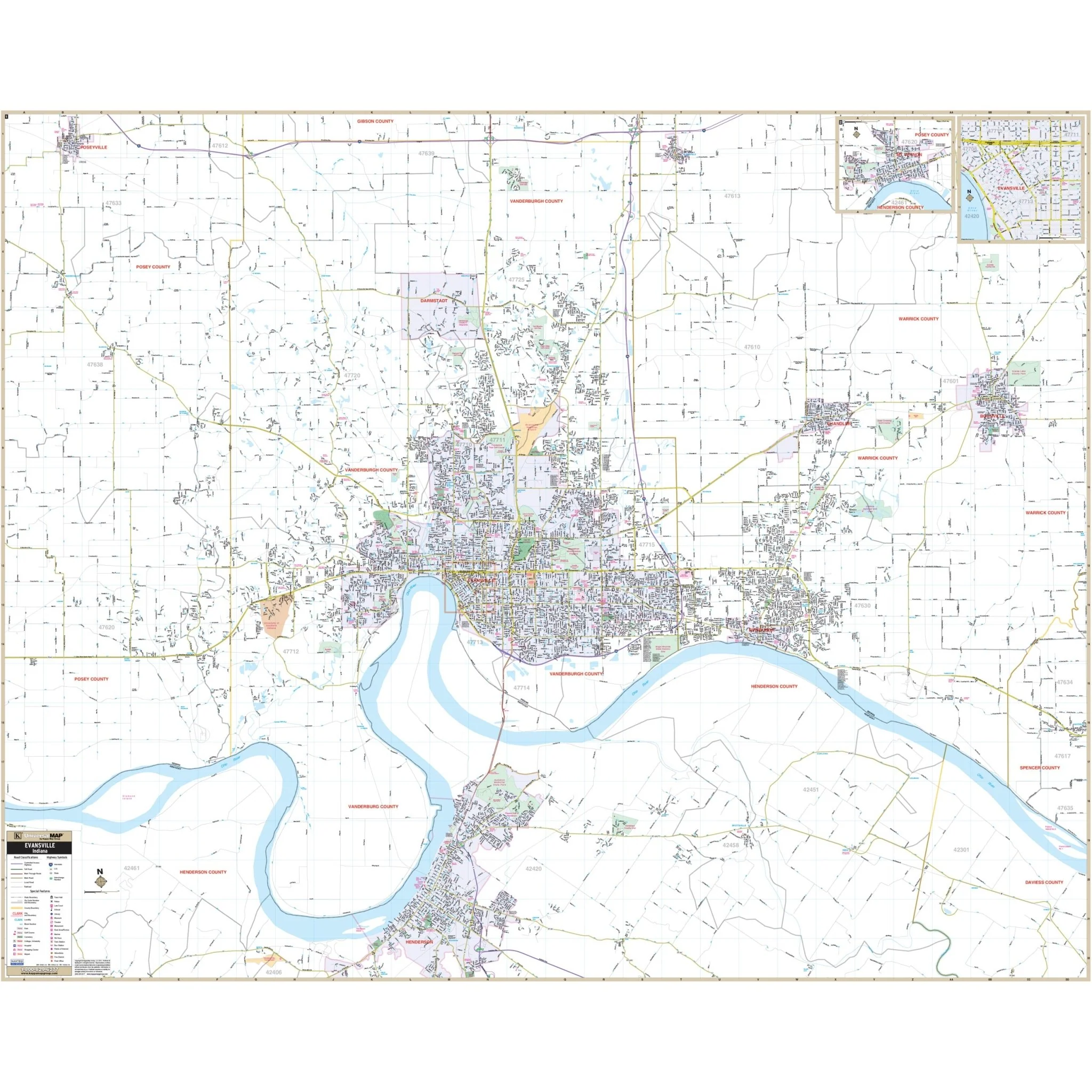
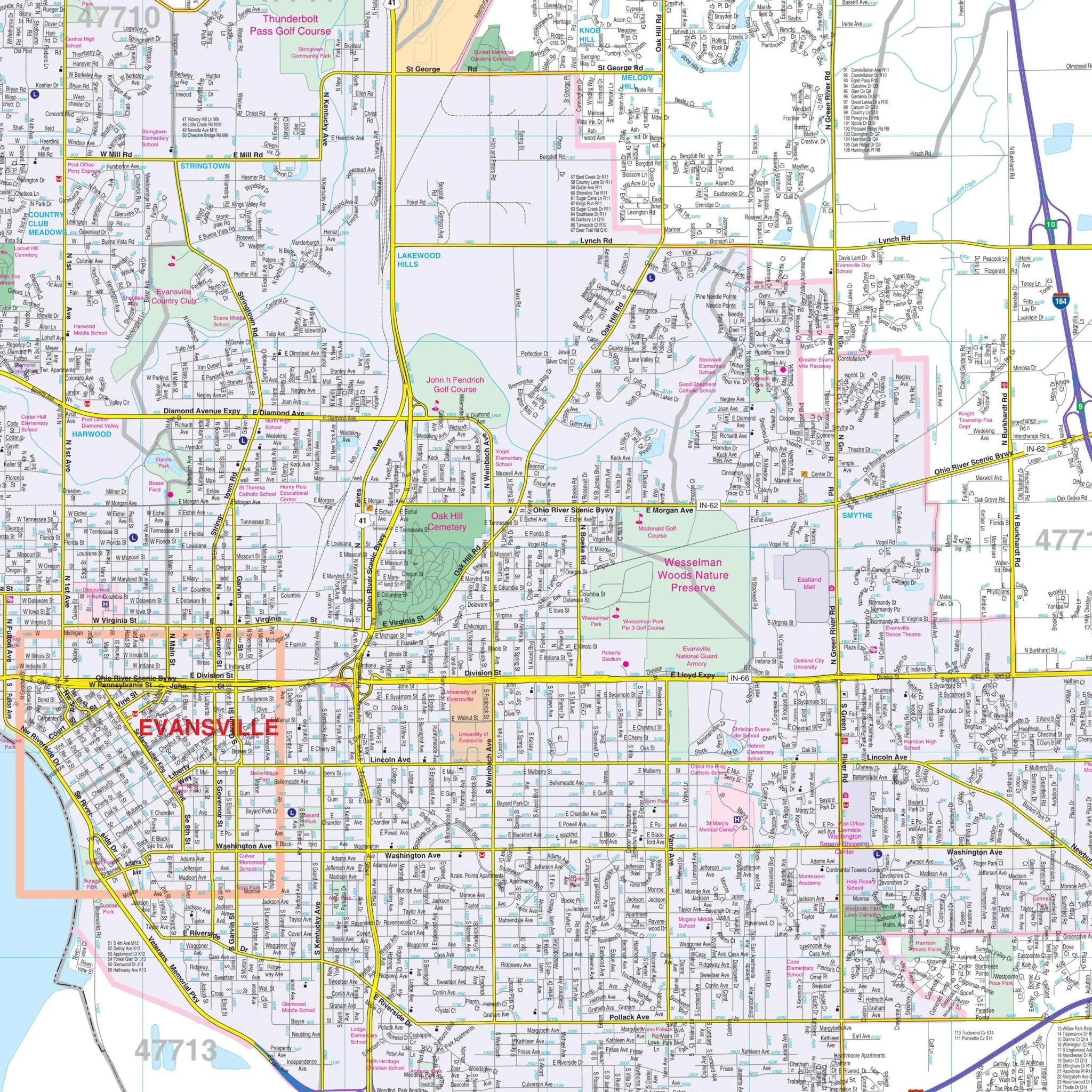
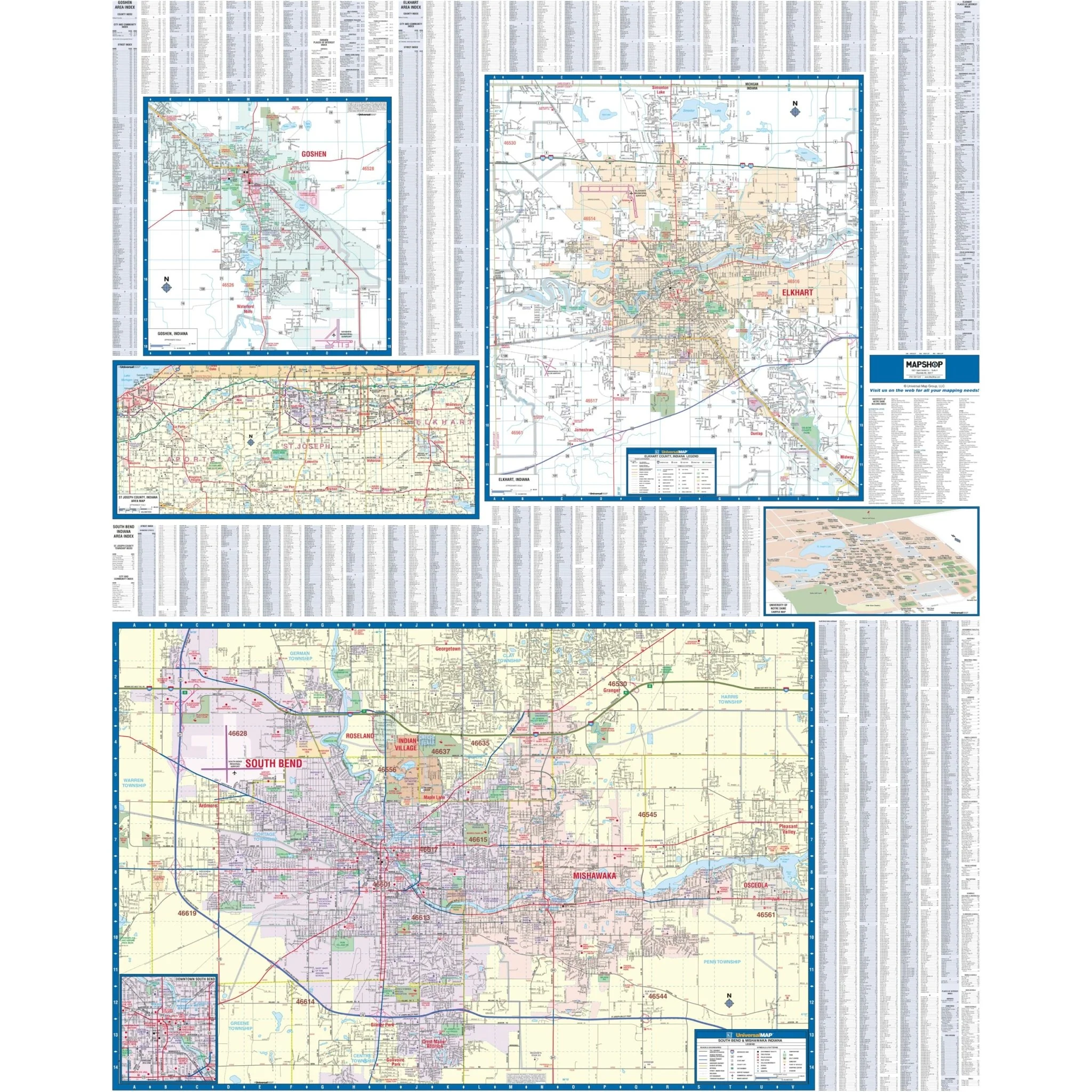
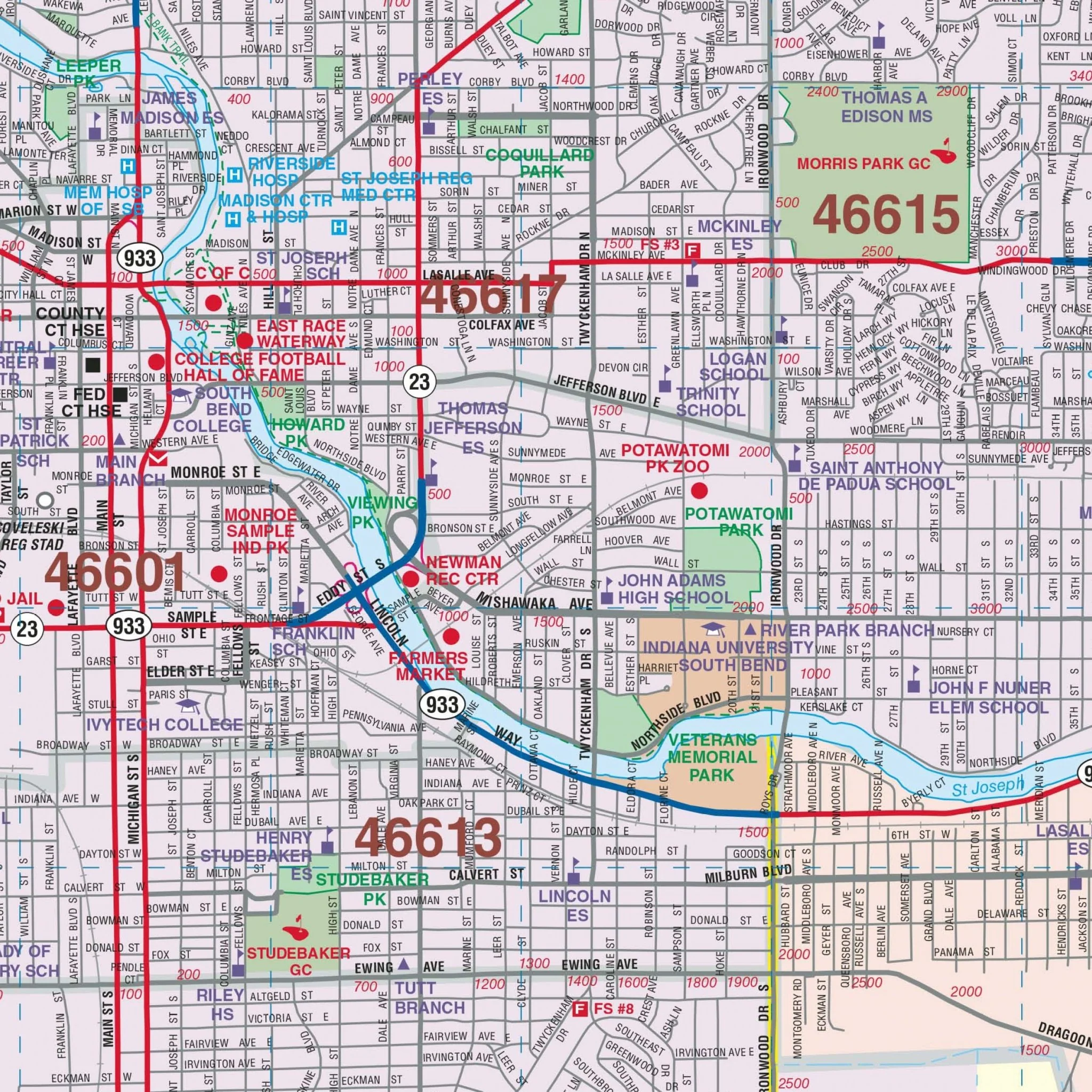
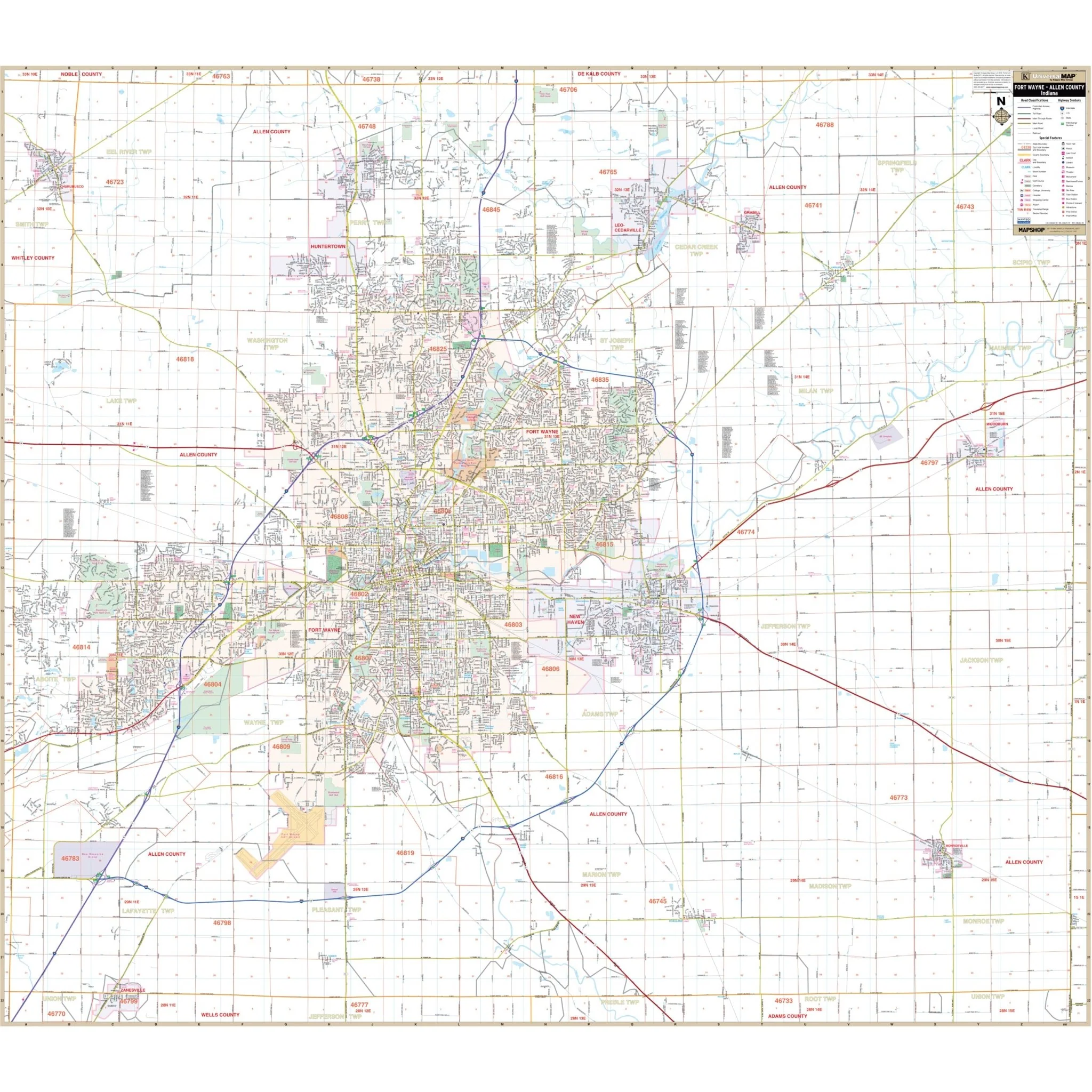
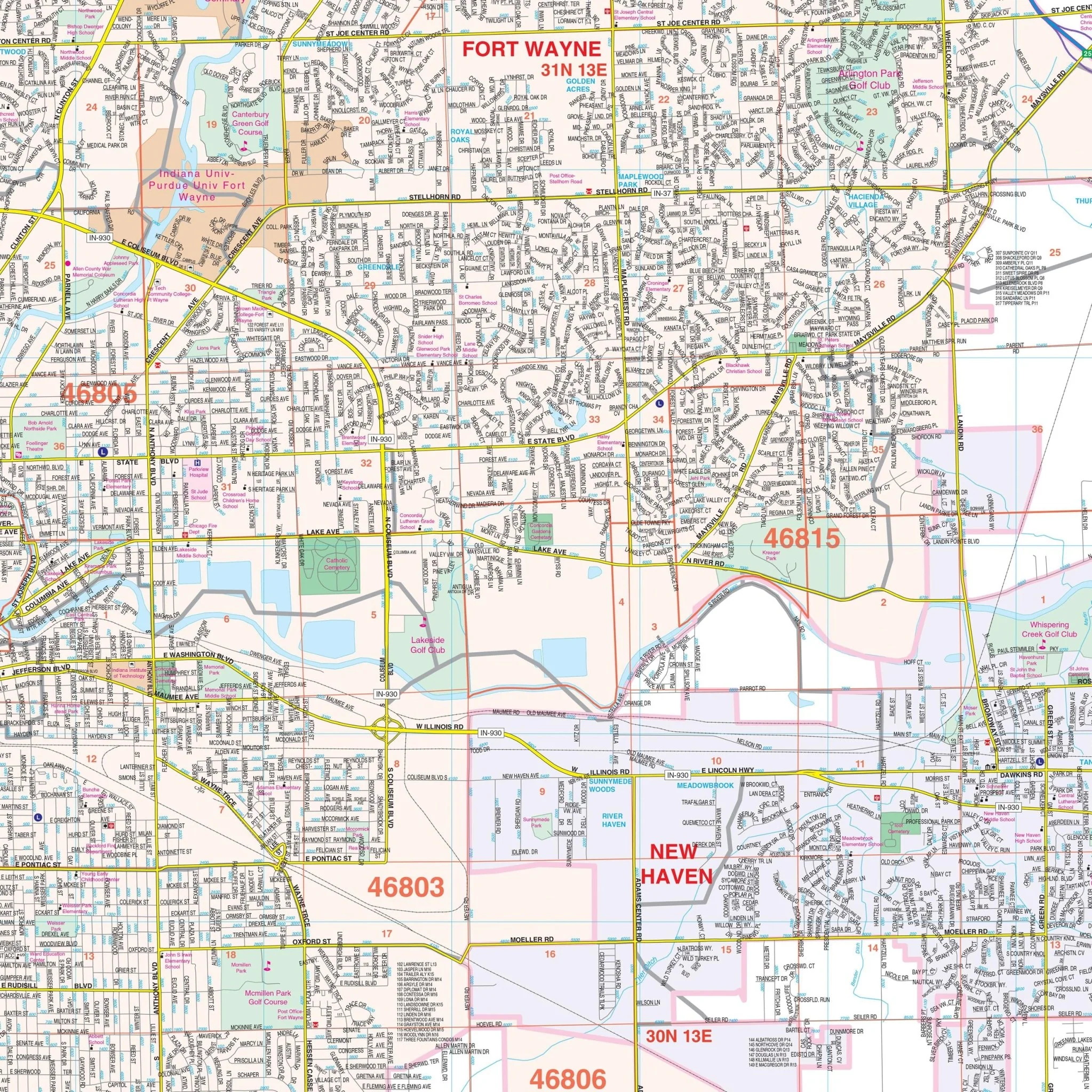
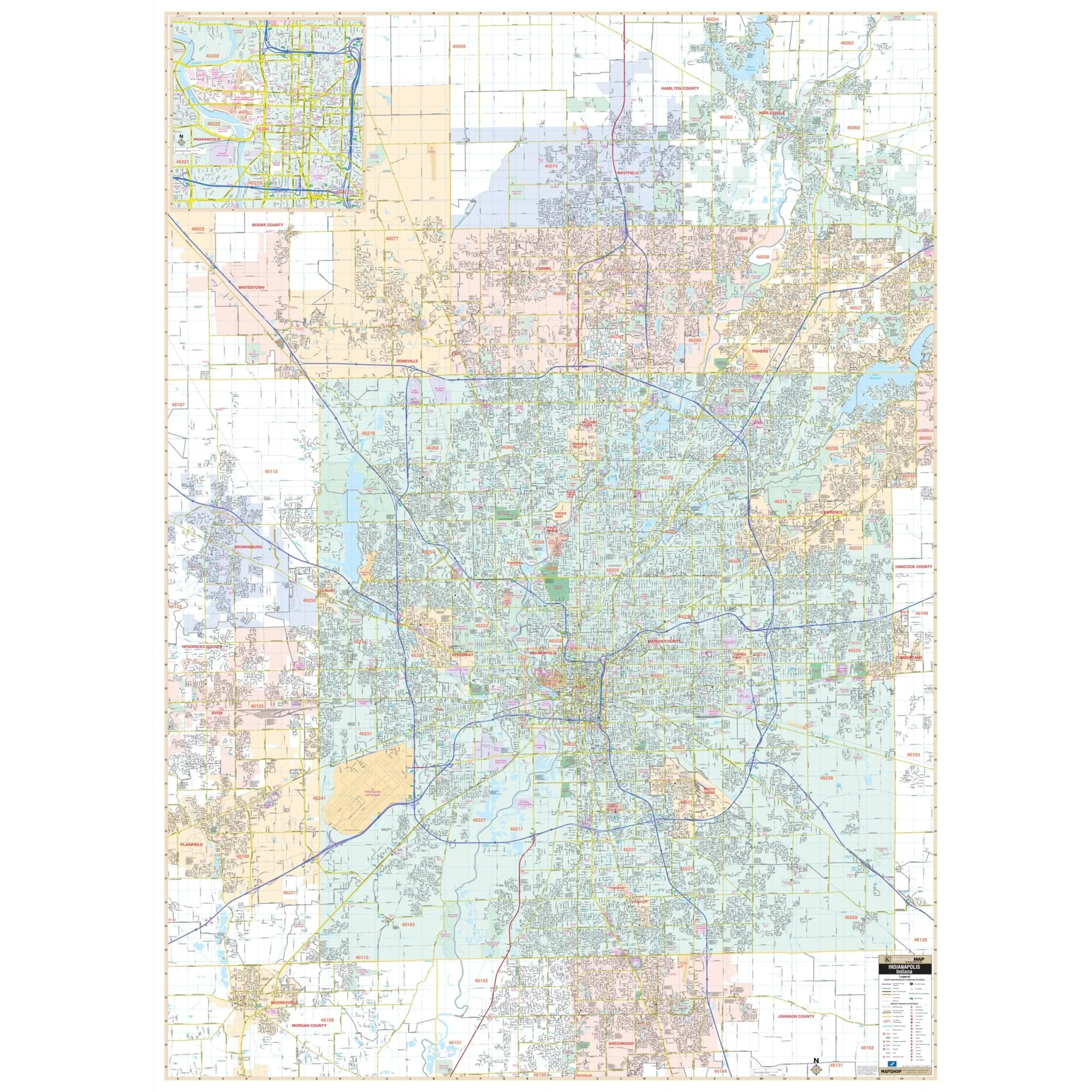
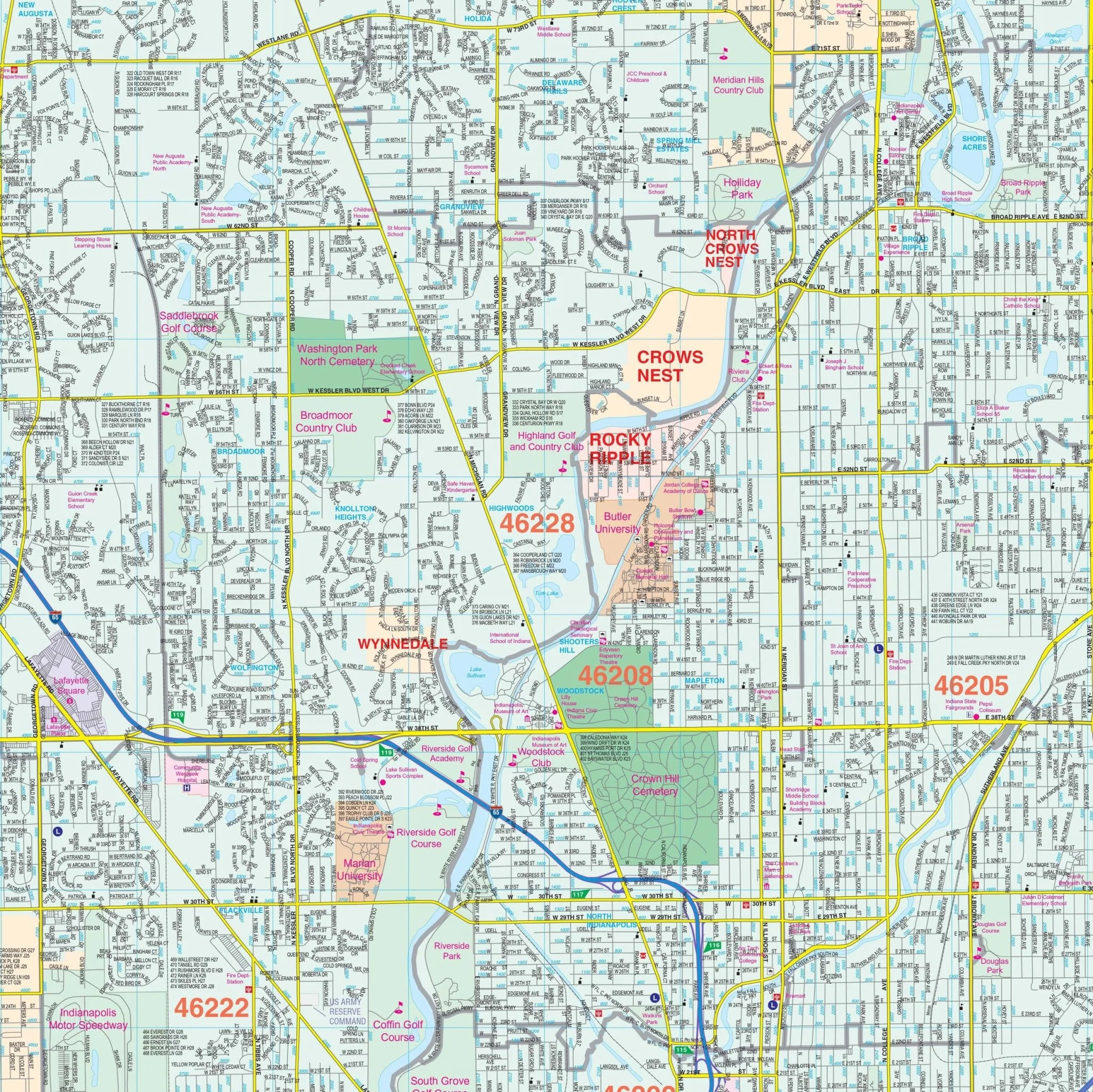
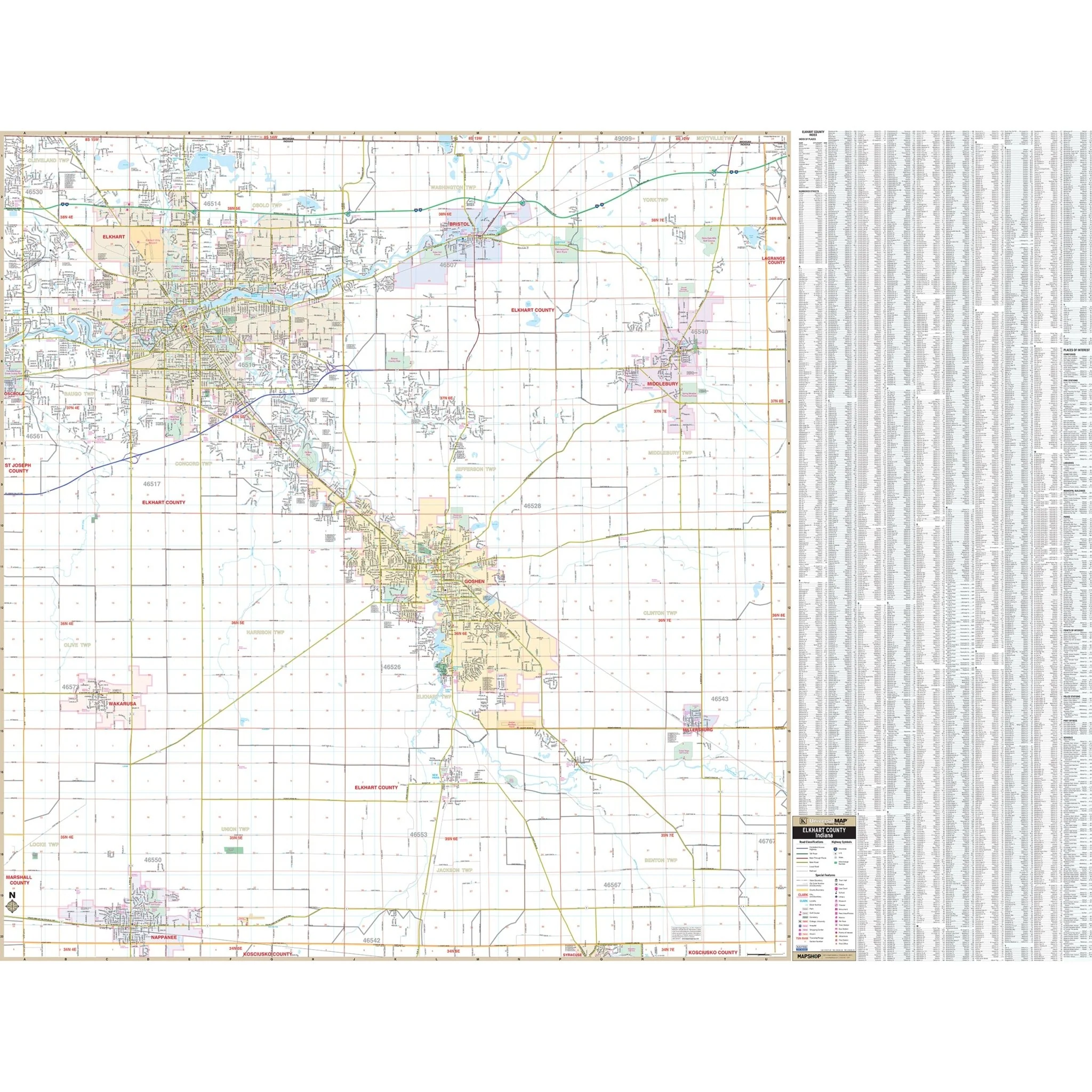
Discover the Elkhart County, IN Wall Map, expertly crafted by Kappa Map Group for your informational needs. This detailed map provides complete street information and includes a user-friendly street index right on the map's surface for easy reference.
Spanning across the region, the map's coverage extends north to the Michigan State line and south to the Town of Nappanee and the Kosciusco County Line. To the east, it includes Middlebury, Millersburg, and the Lagrange County line, while the western boundary covers Wakarusa and the St. Joseph County line.
This comprehensive map offers a wealth of special features and data, including detailed street and highway layouts, water features, government building locations, airports, golf courses, railroads, longitude and latitude lines, ZIP codes and their boundaries, shopping centers, recreational parks, cemeteries, educational facilities, hospitals, post offices, city limits, annexation areas, fire and police station placements, section/township/range lines, and various miscellaneous points of interest.
Size: 68" x 51.5"
Published: 2013
Original: $149.99
-70%$149.99
$45.00Product Information
Product Information
Shipping & Returns
Shipping & Returns
Description
Discover the Elkhart County, IN Wall Map, expertly crafted by Kappa Map Group for your informational needs. This detailed map provides complete street information and includes a user-friendly street index right on the map's surface for easy reference.
Spanning across the region, the map's coverage extends north to the Michigan State line and south to the Town of Nappanee and the Kosciusco County Line. To the east, it includes Middlebury, Millersburg, and the Lagrange County line, while the western boundary covers Wakarusa and the St. Joseph County line.
This comprehensive map offers a wealth of special features and data, including detailed street and highway layouts, water features, government building locations, airports, golf courses, railroads, longitude and latitude lines, ZIP codes and their boundaries, shopping centers, recreational parks, cemeteries, educational facilities, hospitals, post offices, city limits, annexation areas, fire and police station placements, section/township/range lines, and various miscellaneous points of interest.
Size: 68" x 51.5"
Published: 2013