


South Bend, Elkhart & Goshen, IN Wall Map
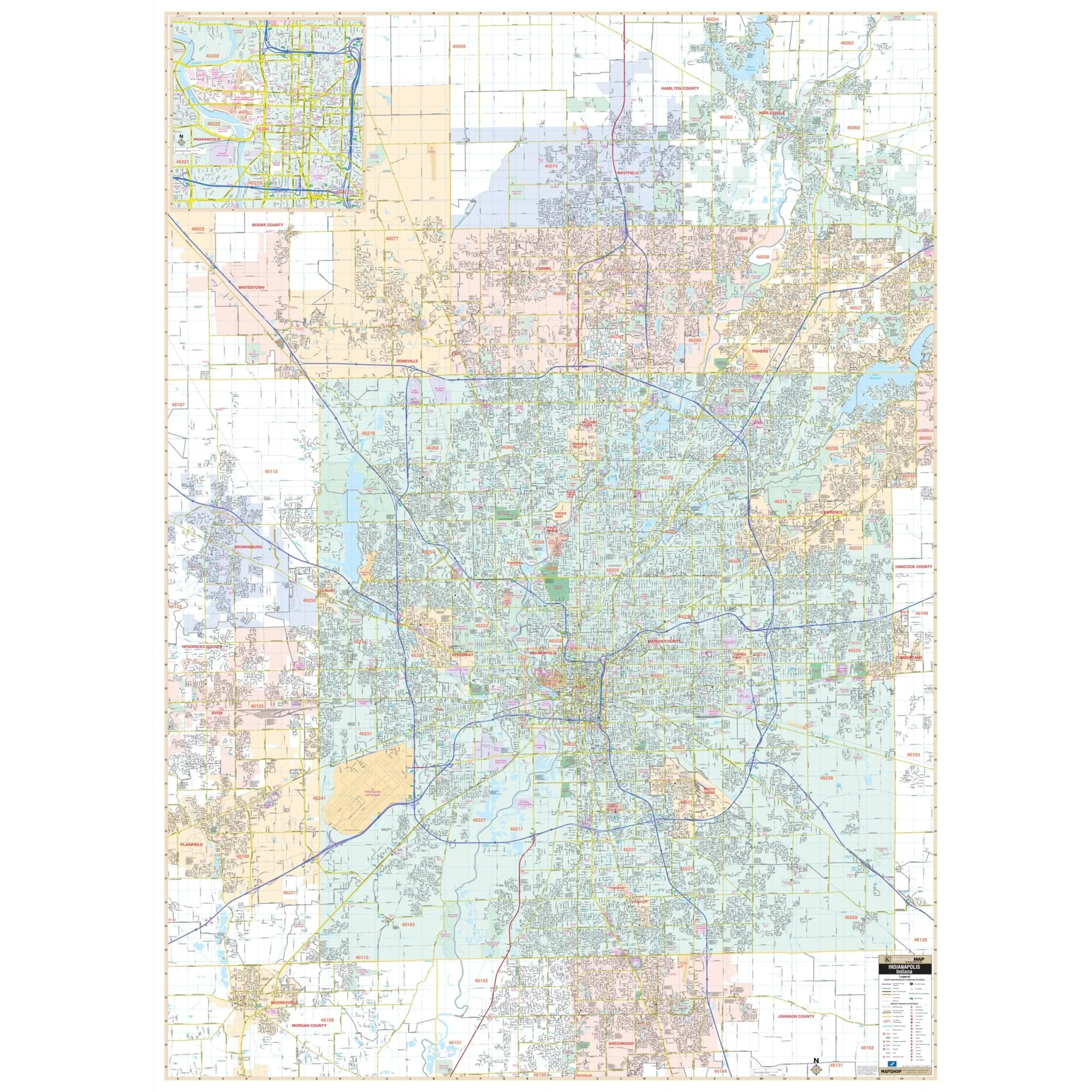
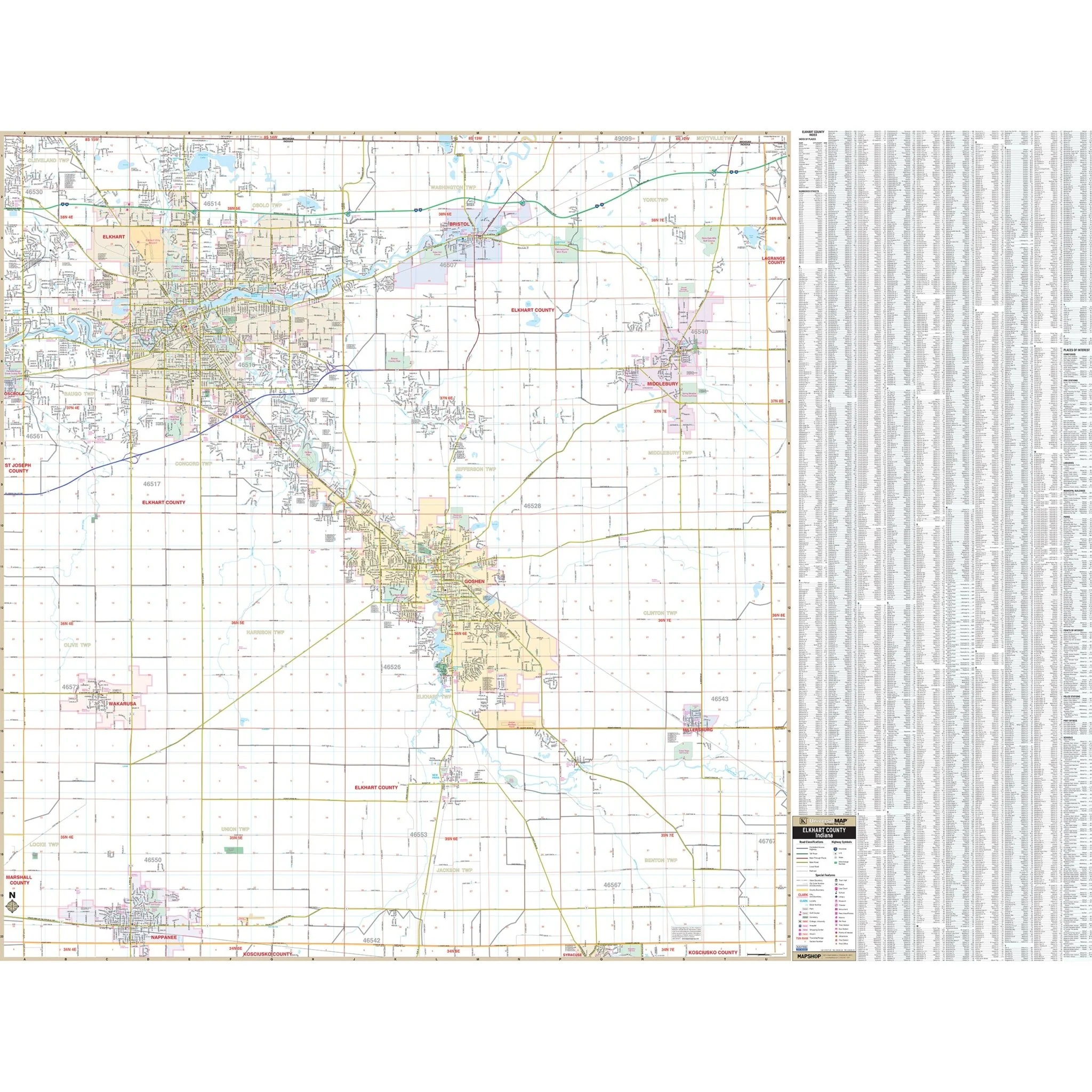
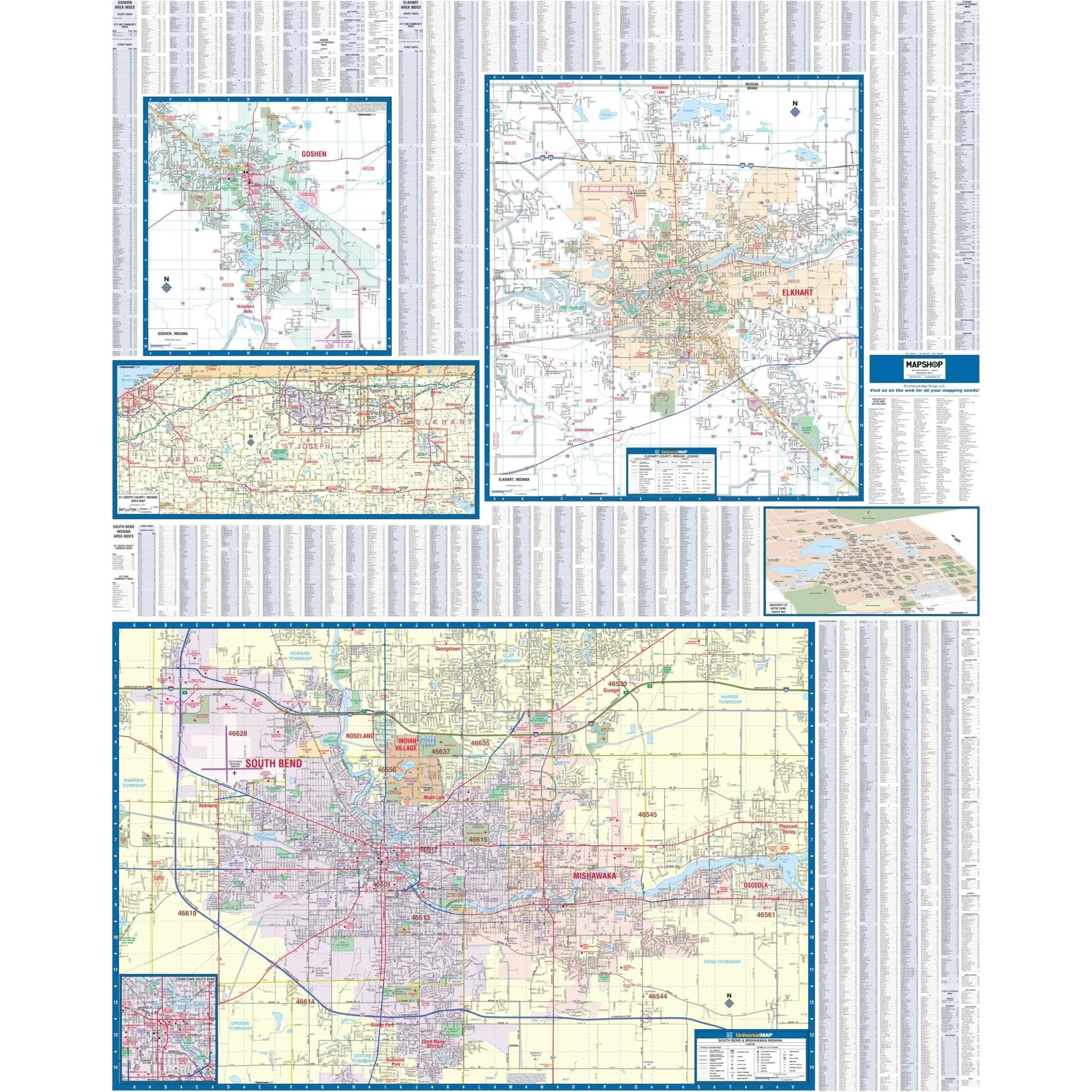
Discover the South Bend, Elkhart & Goshen, IN Wall Map, an invaluable geographic resource covering South Bend, IN, along with the adjacent areas of Elkhart and Goshen. This detailed map offers complete street information, ensuring you have access to essential geographical data.
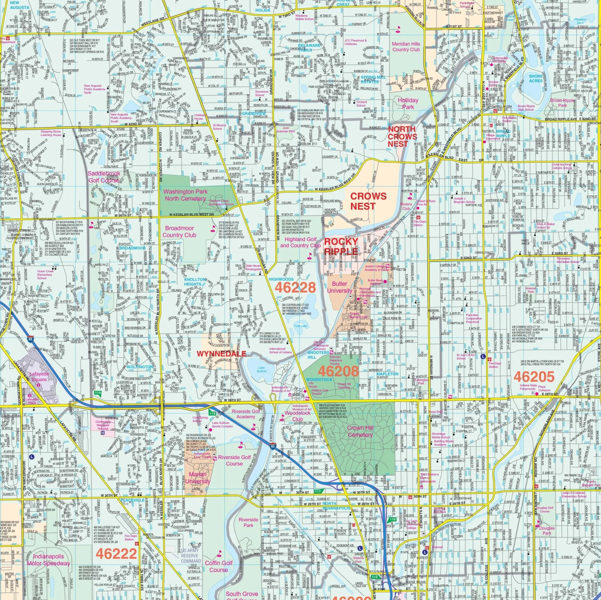
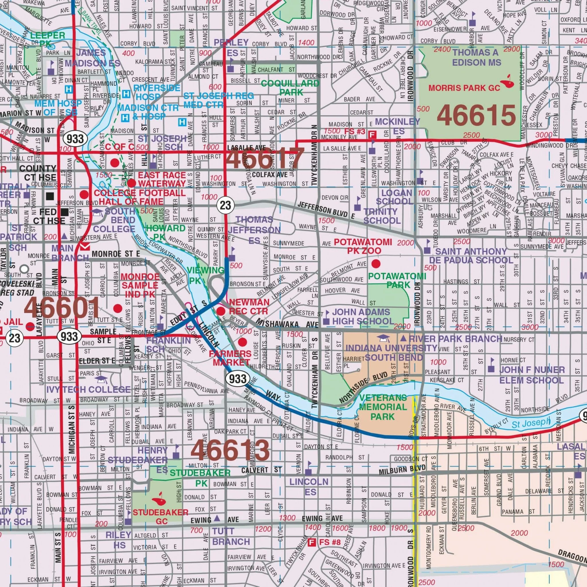
Encompassing the entirety of South Bend, this map extends northward to Auten Road in Georgetown and southward to Kern Road. To the east, it includes Osceola and Pleasant Valley, while the western boundaries cover the South Bend Golf Course. Insets of Downtown South Bend and the University of Notre Dame provide additional detailed information.
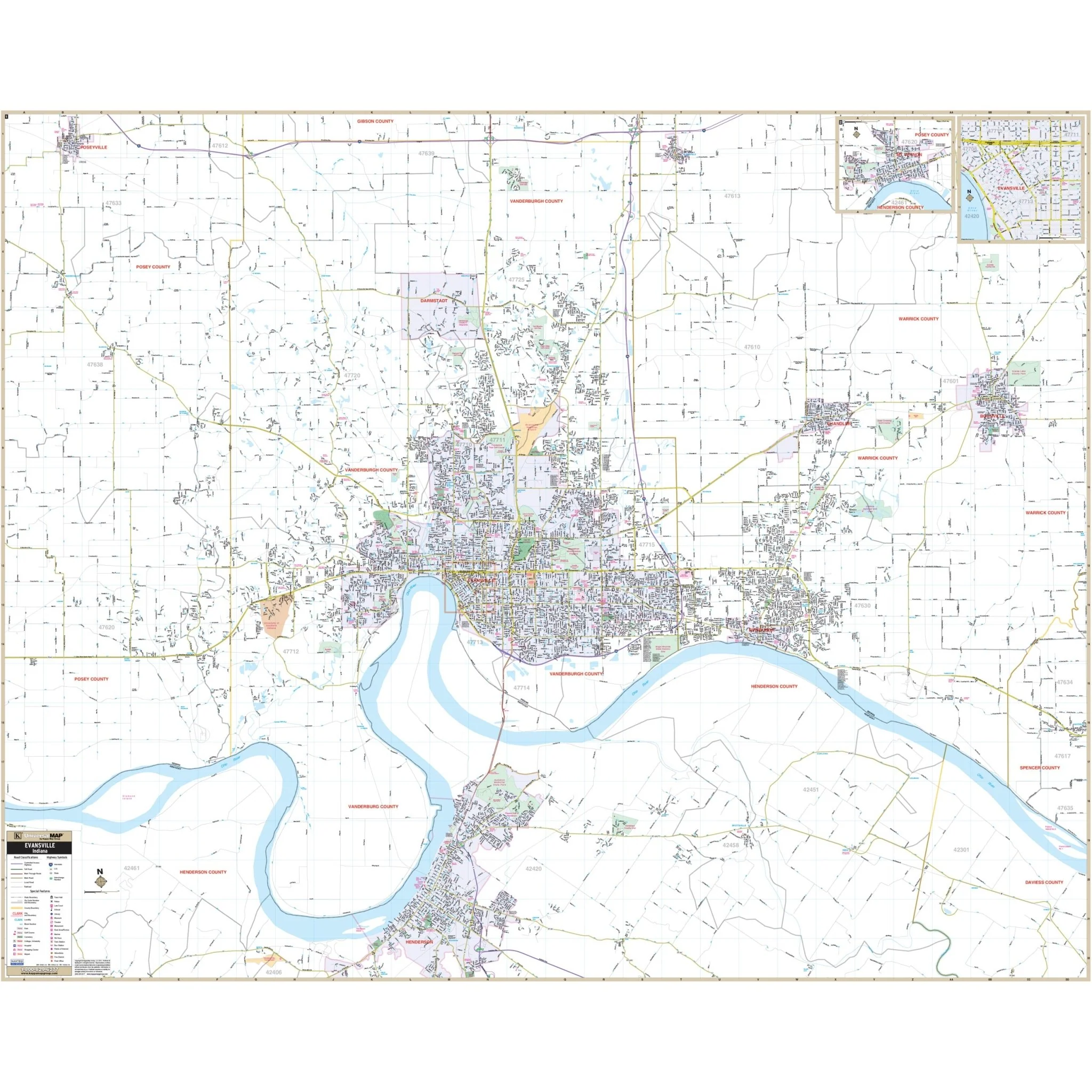
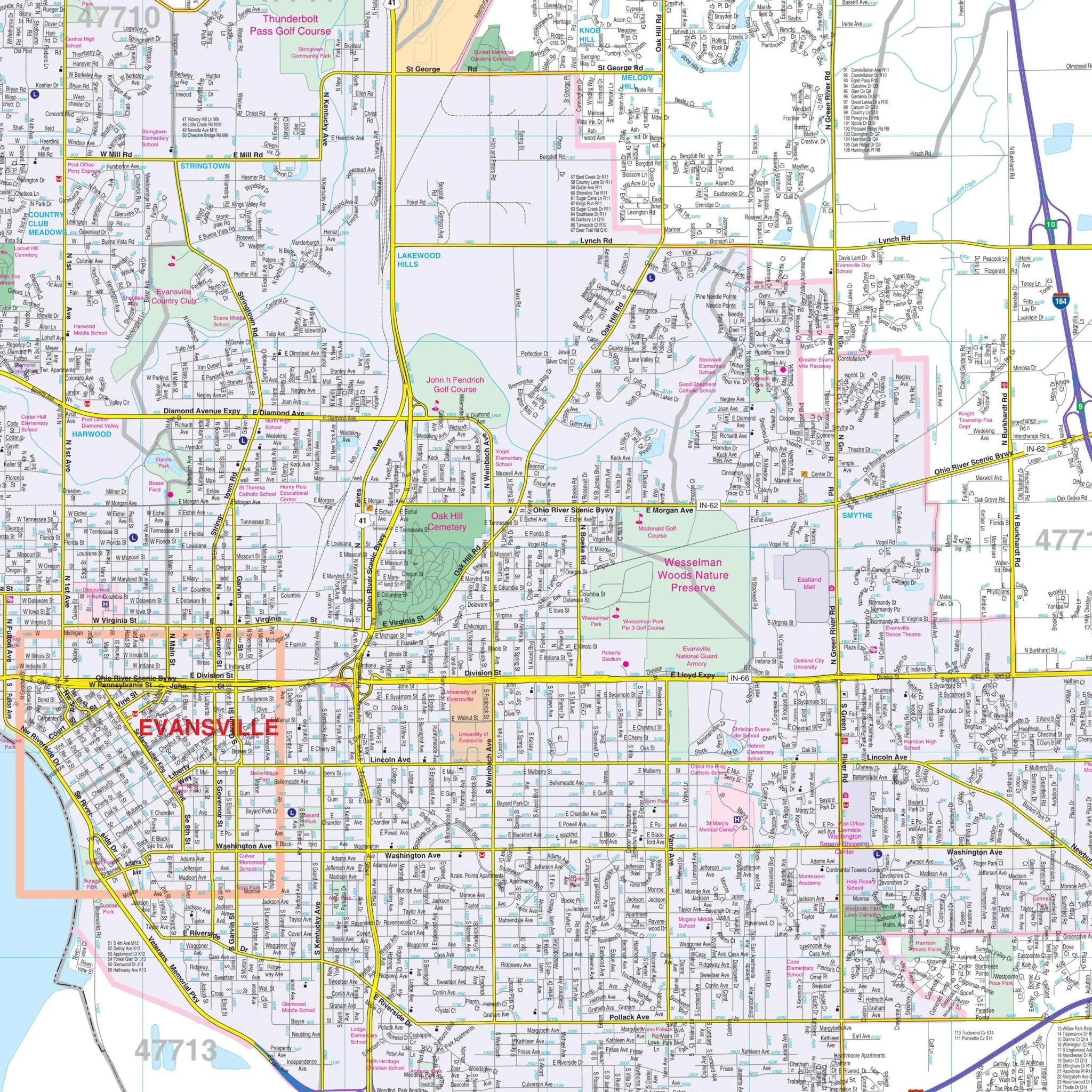
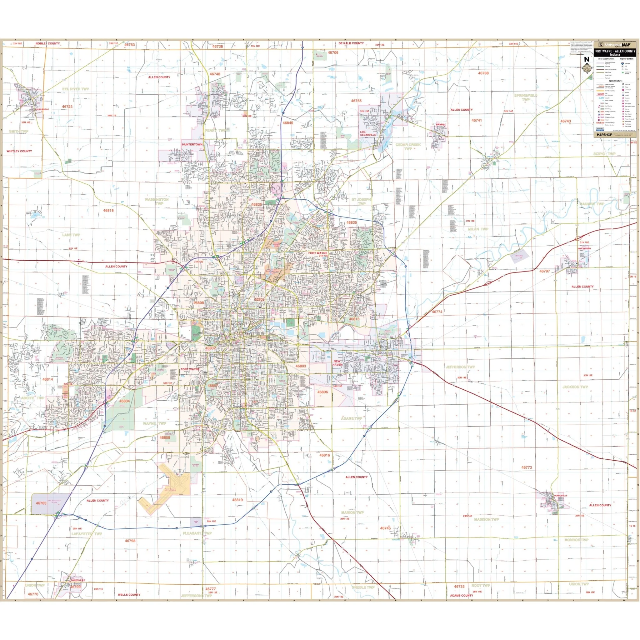
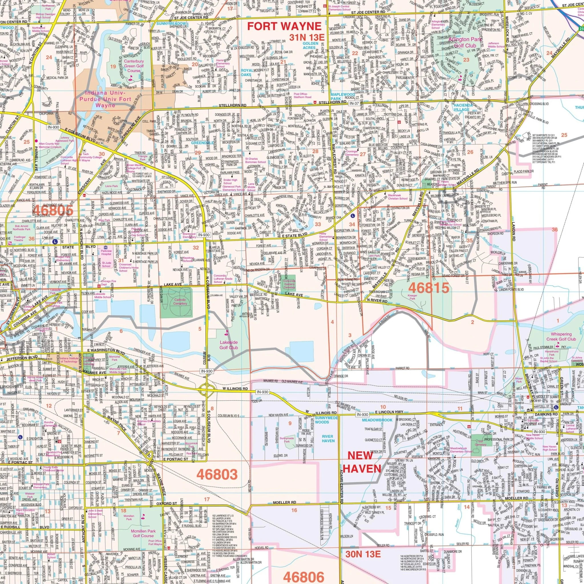
Within this comprehensive map, you'll find an array of crucial details, including streets and highways, post offices, hospitals, points of interest, mileage circles, government buildings, cemeteries, shopping centers, water features, recreational parks, ZIP codes and boundaries, airports and railroads, fire and police stations, educational facilities, as well as golf and country clubs.
Size: 48" x 60"
Published: 2012
Original: $139.99
-70%$139.99
$42.00Product Information
Product Information
Shipping & Returns
Shipping & Returns
Description
Discover the South Bend, Elkhart & Goshen, IN Wall Map, an invaluable geographic resource covering South Bend, IN, along with the adjacent areas of Elkhart and Goshen. This detailed map offers complete street information, ensuring you have access to essential geographical data.
Encompassing the entirety of South Bend, this map extends northward to Auten Road in Georgetown and southward to Kern Road. To the east, it includes Osceola and Pleasant Valley, while the western boundaries cover the South Bend Golf Course. Insets of Downtown South Bend and the University of Notre Dame provide additional detailed information.
Within this comprehensive map, you'll find an array of crucial details, including streets and highways, post offices, hospitals, points of interest, mileage circles, government buildings, cemeteries, shopping centers, water features, recreational parks, ZIP codes and boundaries, airports and railroads, fire and police stations, educational facilities, as well as golf and country clubs.
Size: 48" x 60"
Published: 2012