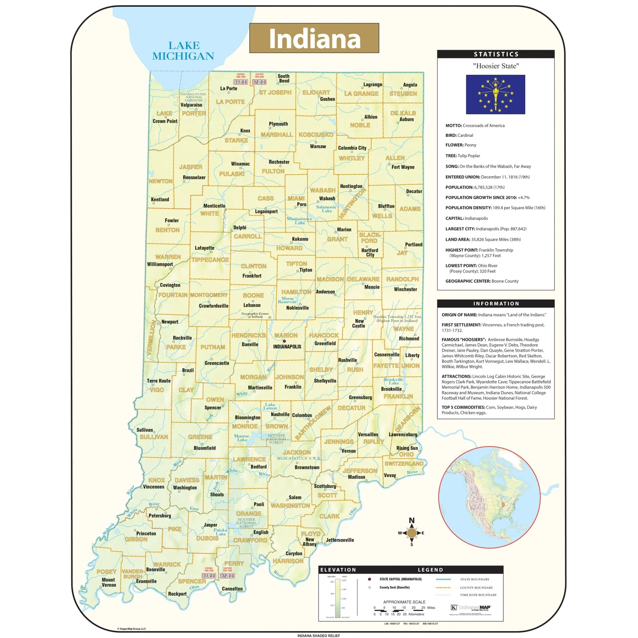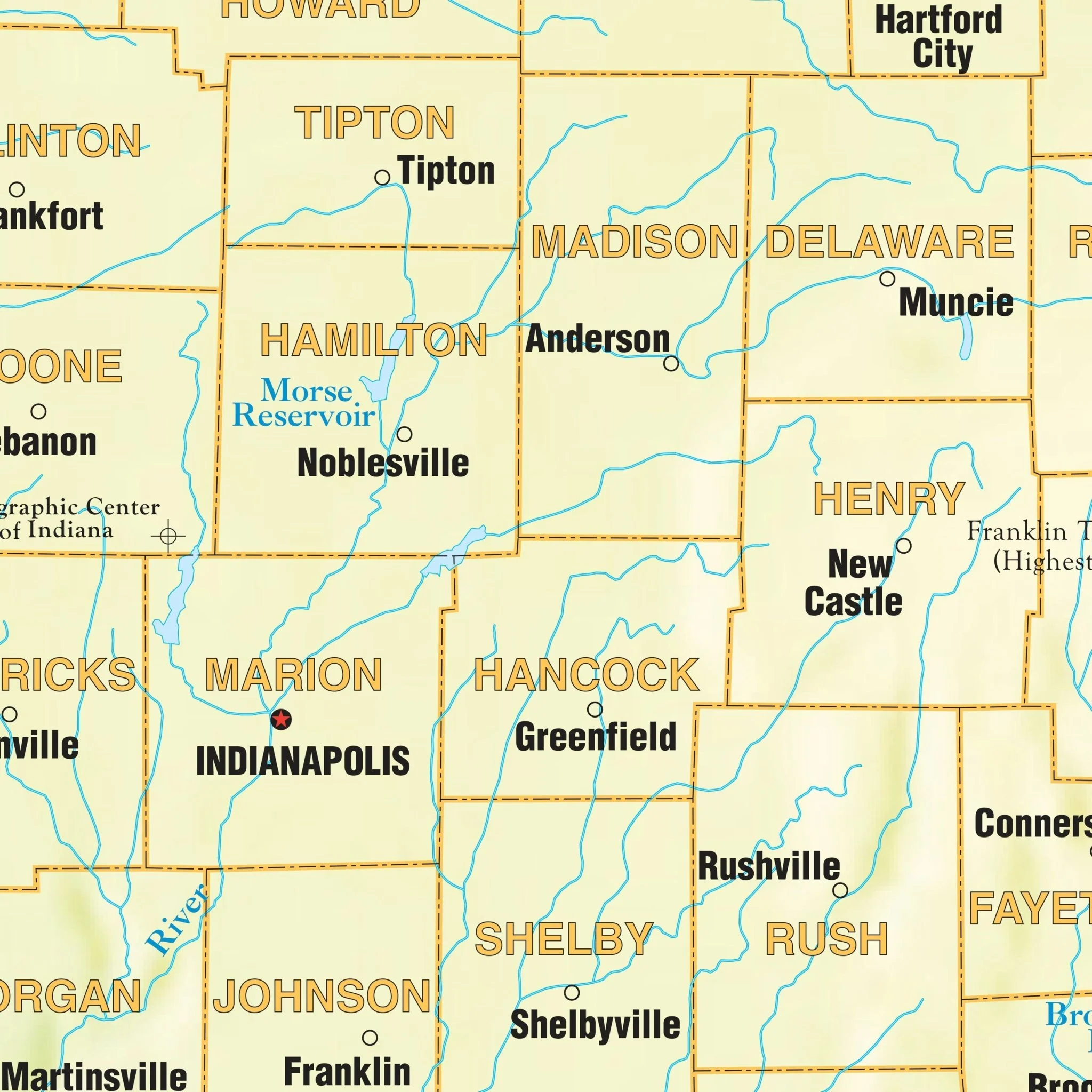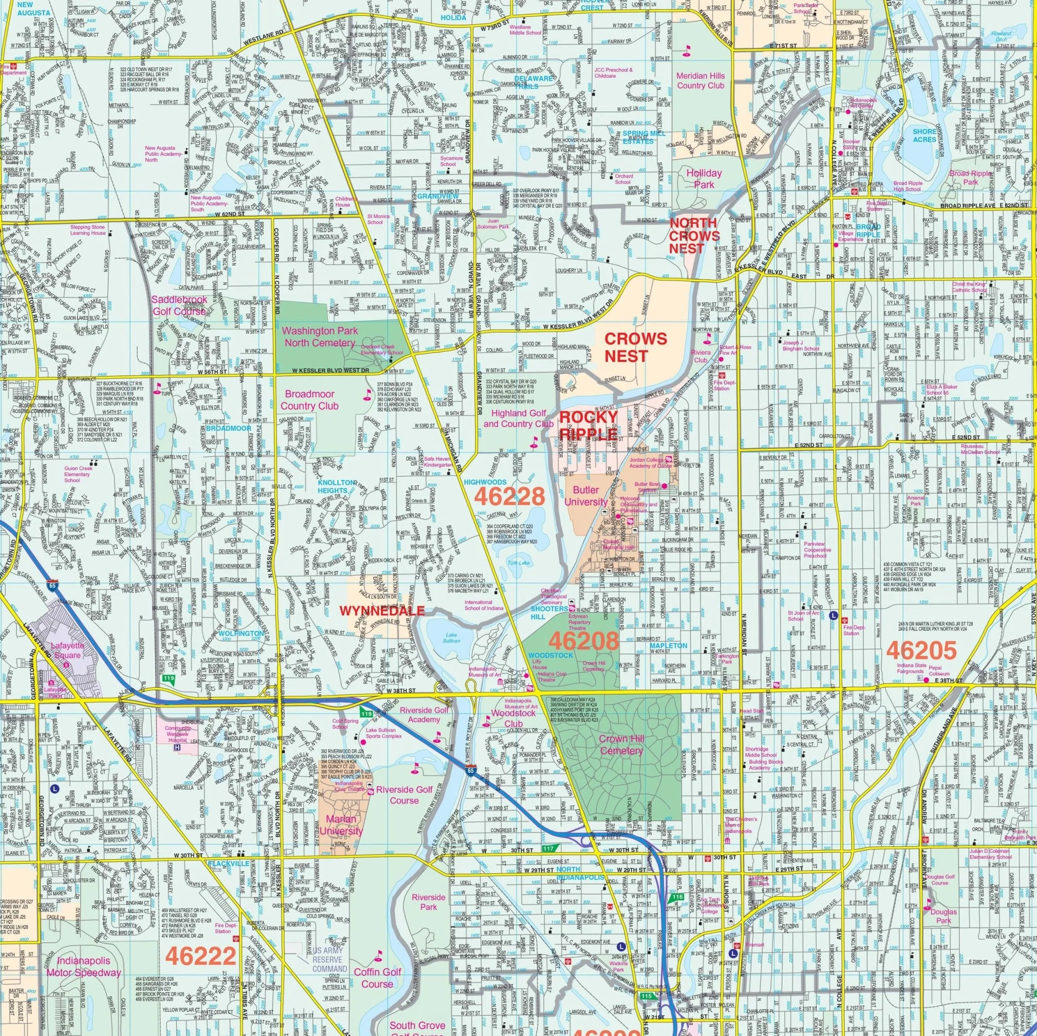


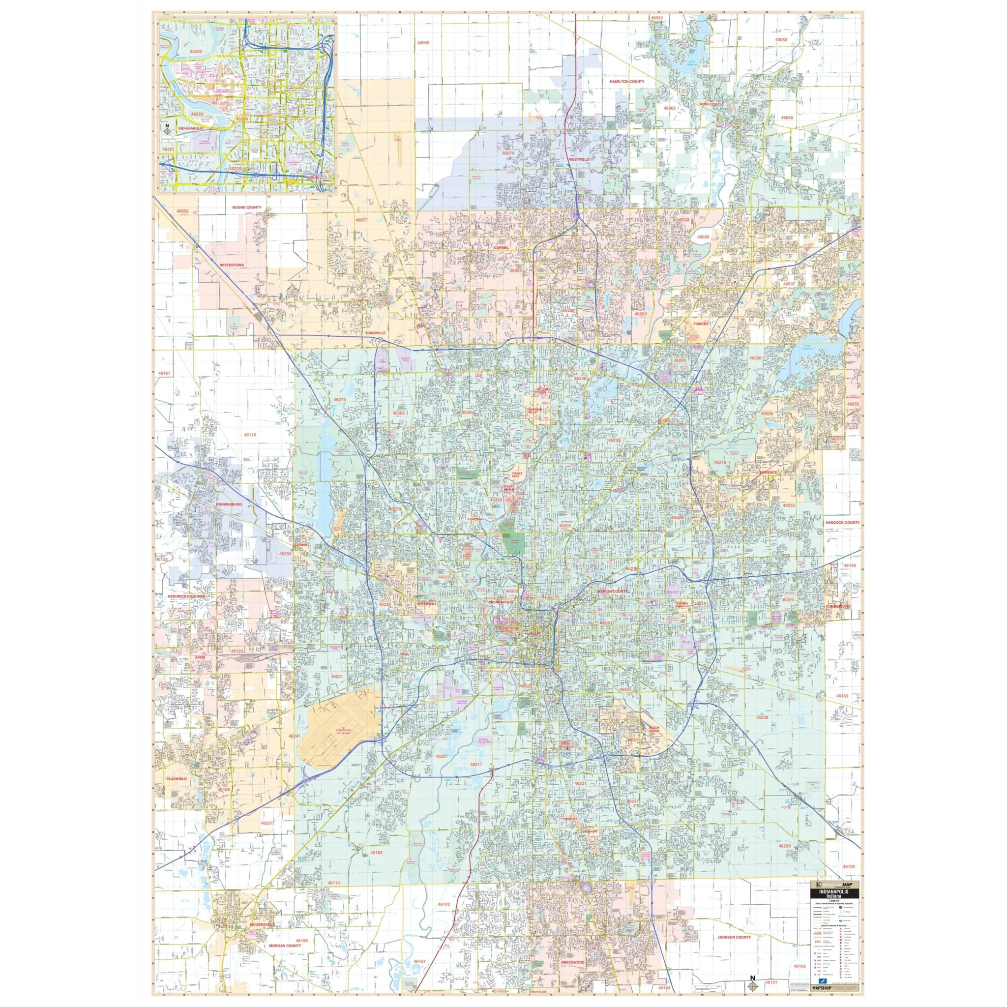

Indianapolis & Marion County, IN Wall Map
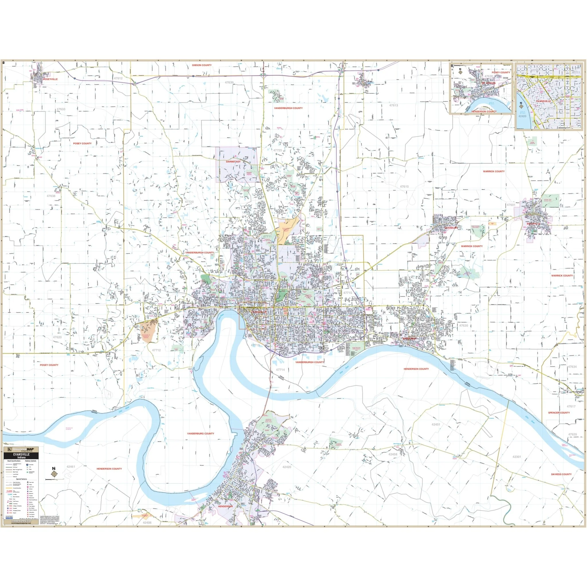
Introducing the Indianapolis and Marion County, IN Wall Map, a comprehensive geographical resource for the region. This detailed map, offered by an unspecified source, provides complete street information without specifying its scale, ensuring you have access to valuable geographic data.
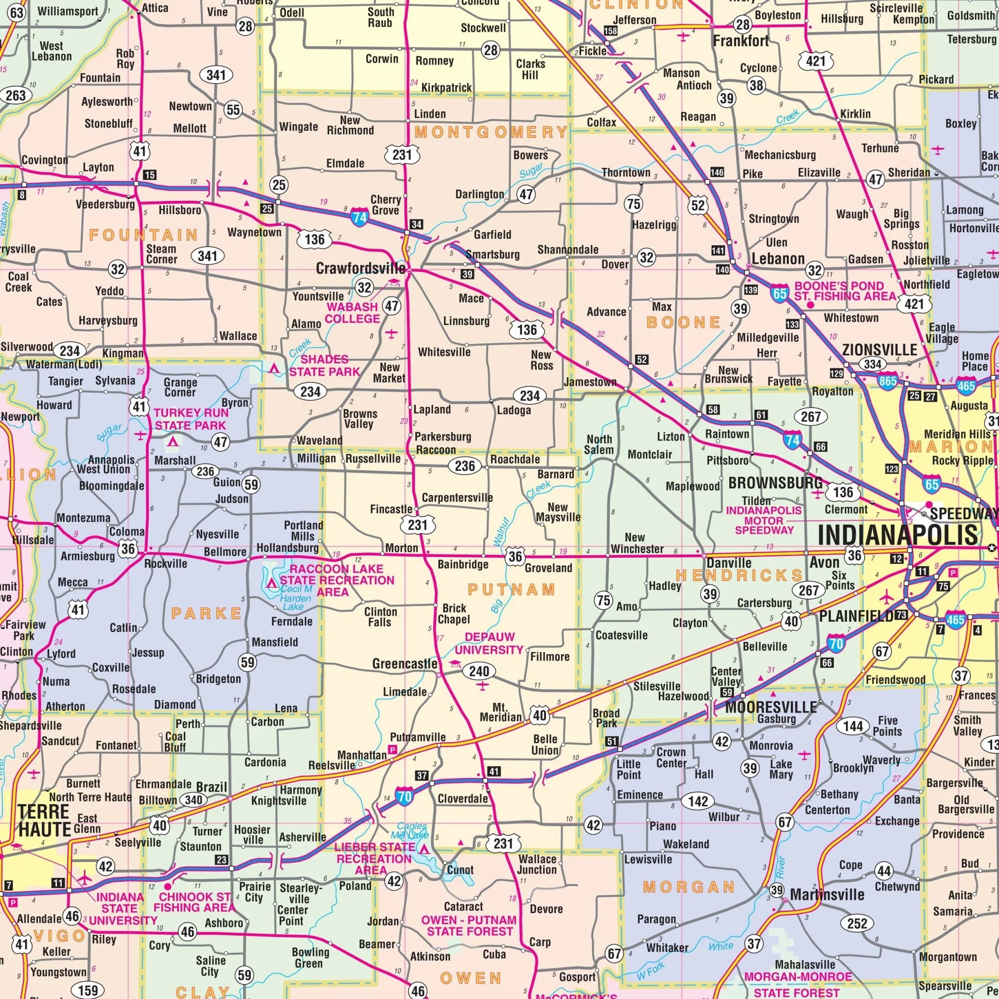
Encompassing the entirety of Marion County, this map's coverage extends northward to Noblesville and Westfield, while the southern boundaries reach Greenwood in Johnson County. To the east, the coverage includes Cumberland and the Marion County line, and to the west, it encompasses Plainfield, Brownsburg, and Avon.
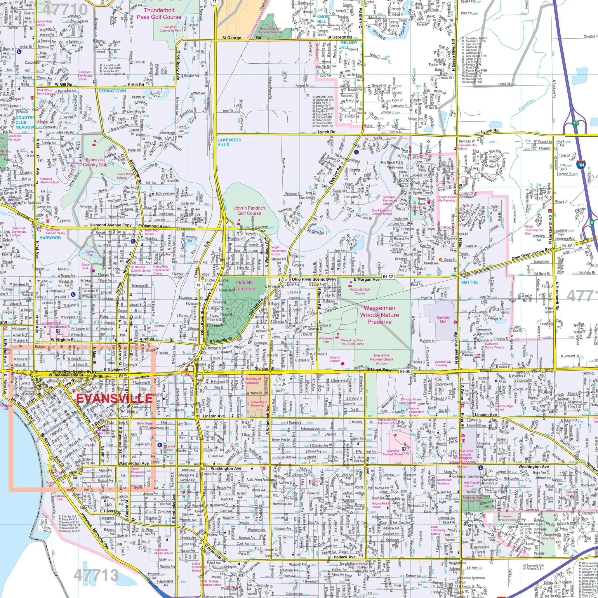
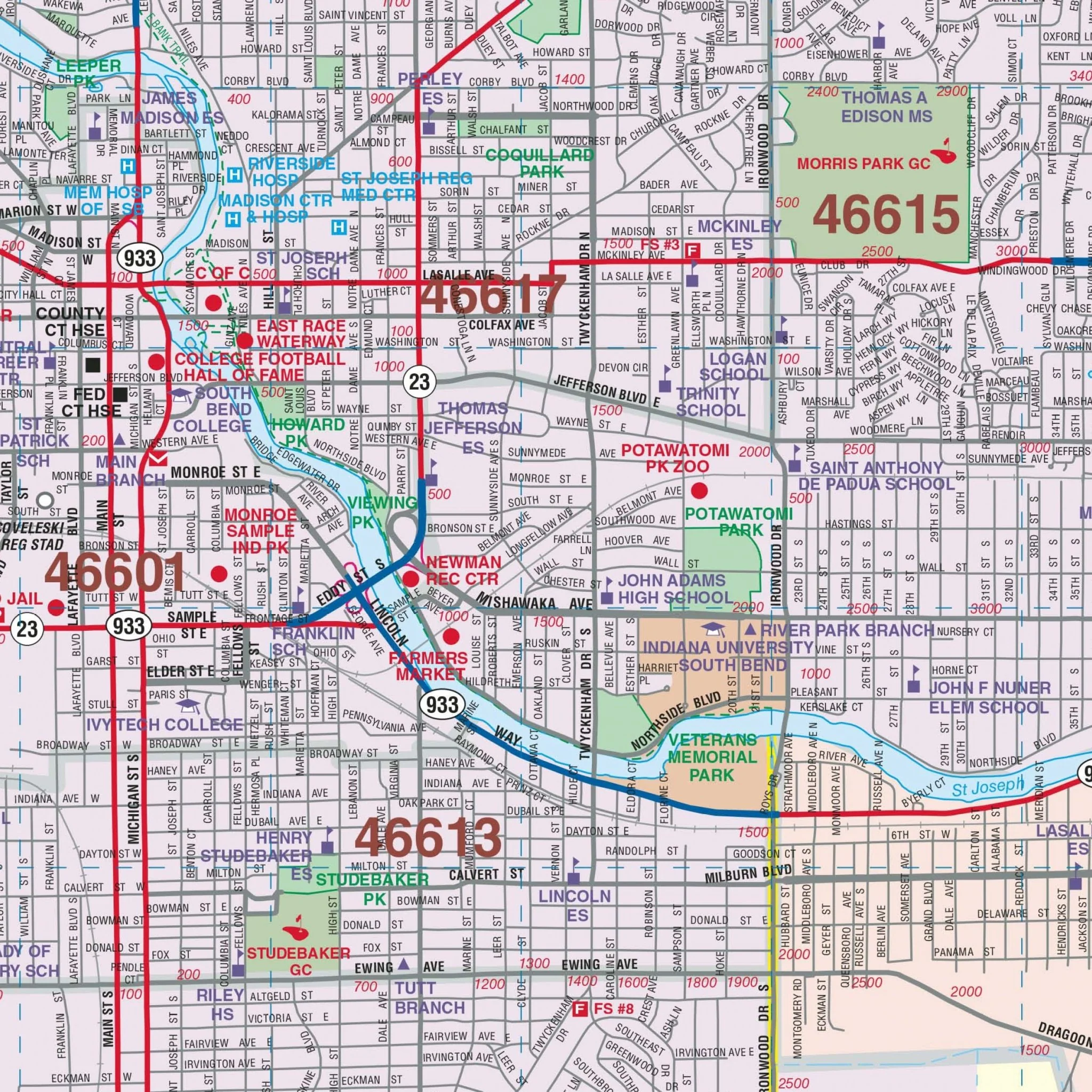
Within this comprehensive map, you'll discover a wealth of important details, including airports, block numbers, cemeteries, city limits, educational institutions, golf and country clubs, government buildings, hospitals, libraries, neighborhoods, police stations, railroads, recreational parks, shopping centers, streets and highways, water features, and ZIP code boundaries.
Size: 57" x 78.25"
Published: 2015
Original: $149.99
-70%$149.99
$45.00Product Information
Product Information
Shipping & Returns
Shipping & Returns
Description
Introducing the Indianapolis and Marion County, IN Wall Map, a comprehensive geographical resource for the region. This detailed map, offered by an unspecified source, provides complete street information without specifying its scale, ensuring you have access to valuable geographic data.
Encompassing the entirety of Marion County, this map's coverage extends northward to Noblesville and Westfield, while the southern boundaries reach Greenwood in Johnson County. To the east, the coverage includes Cumberland and the Marion County line, and to the west, it encompasses Plainfield, Brownsburg, and Avon.
Within this comprehensive map, you'll discover a wealth of important details, including airports, block numbers, cemeteries, city limits, educational institutions, golf and country clubs, government buildings, hospitals, libraries, neighborhoods, police stations, railroads, recreational parks, shopping centers, streets and highways, water features, and ZIP code boundaries.
Size: 57" x 78.25"
Published: 2015