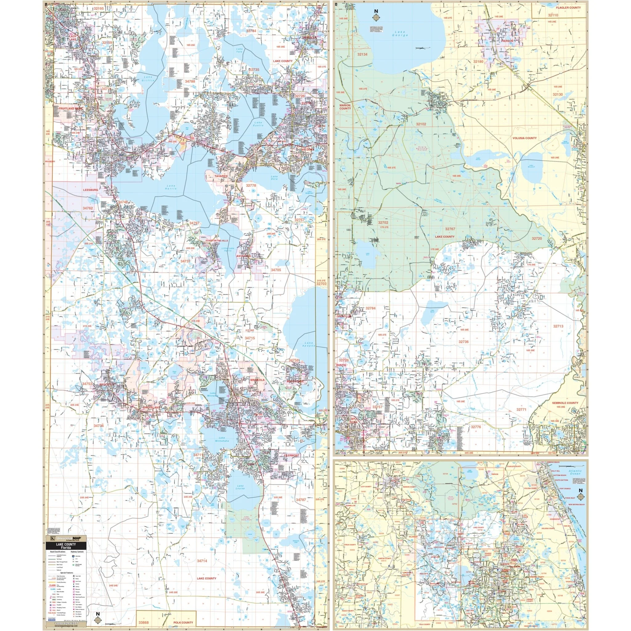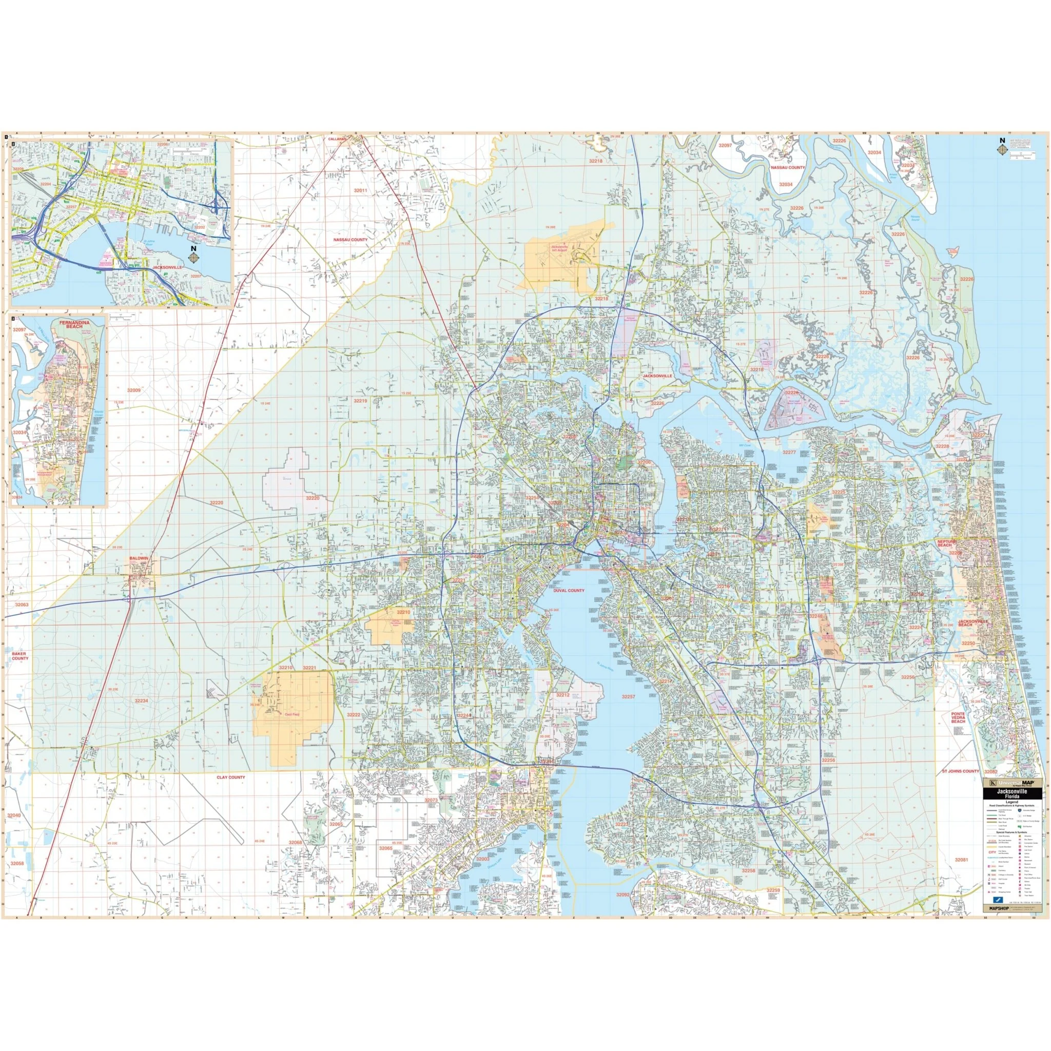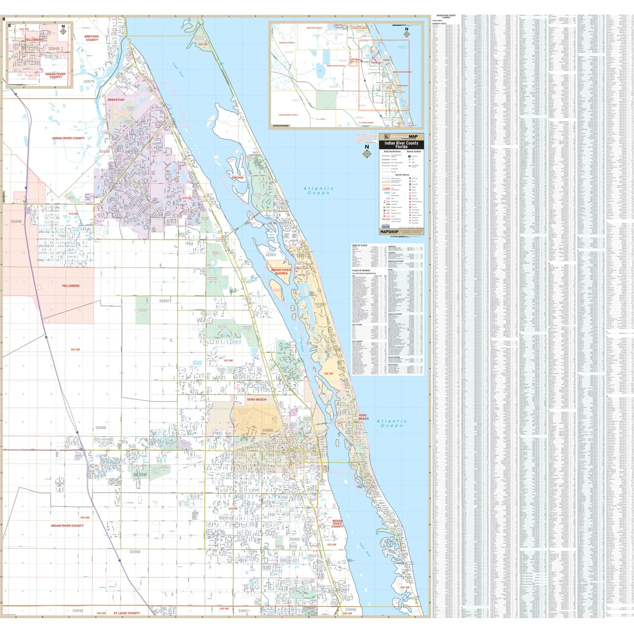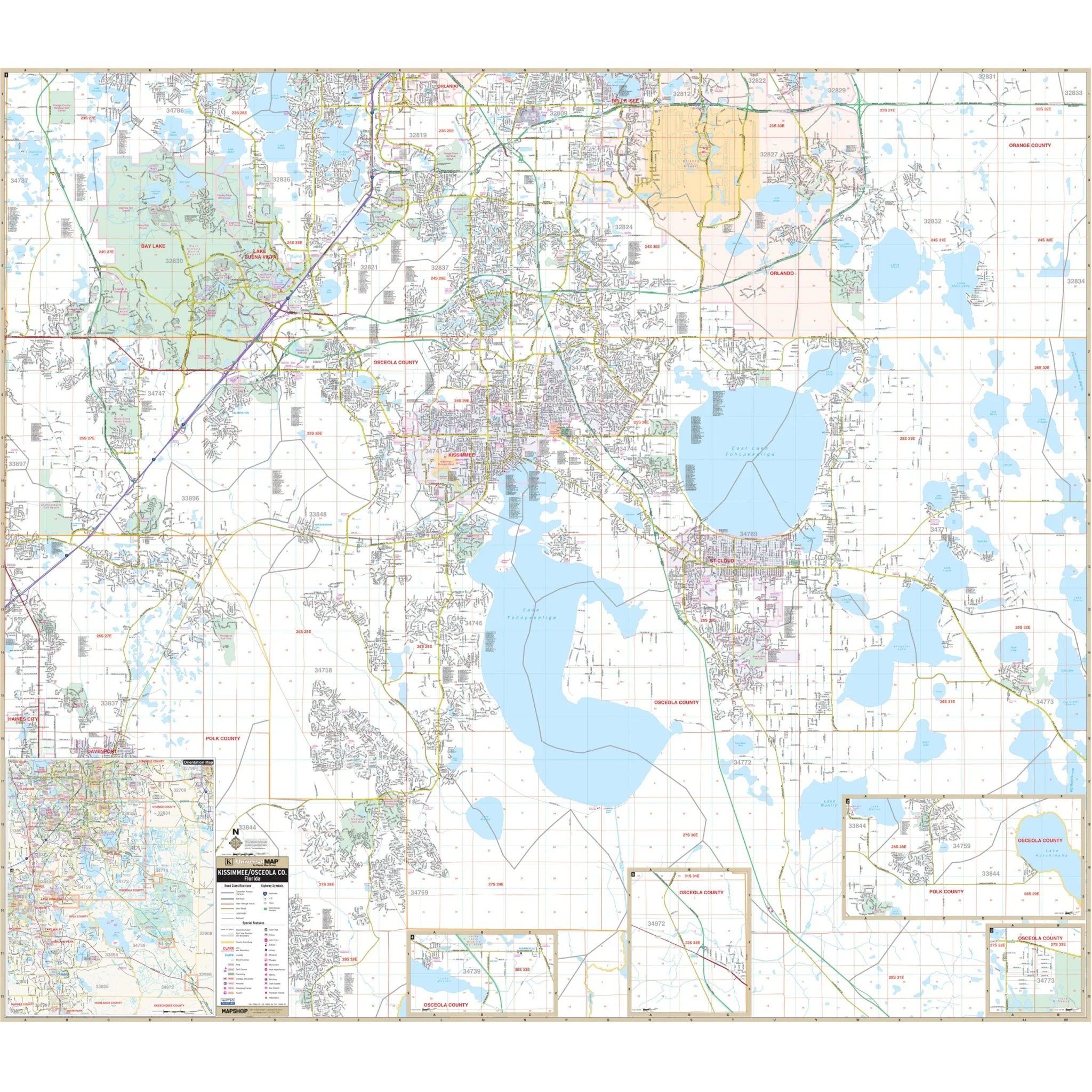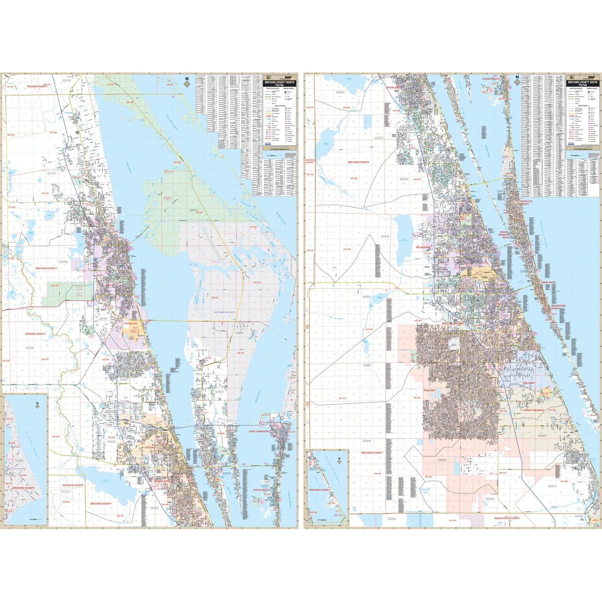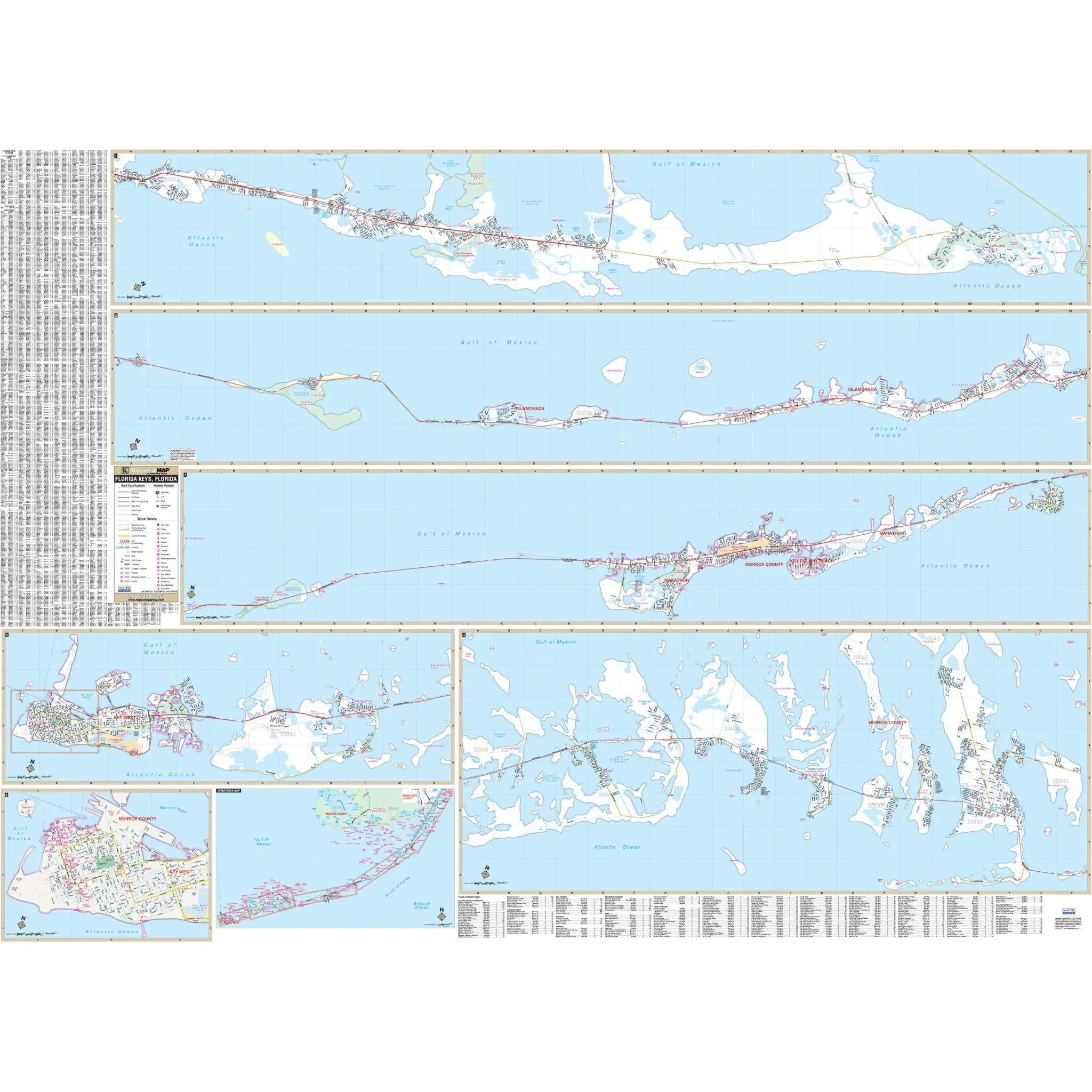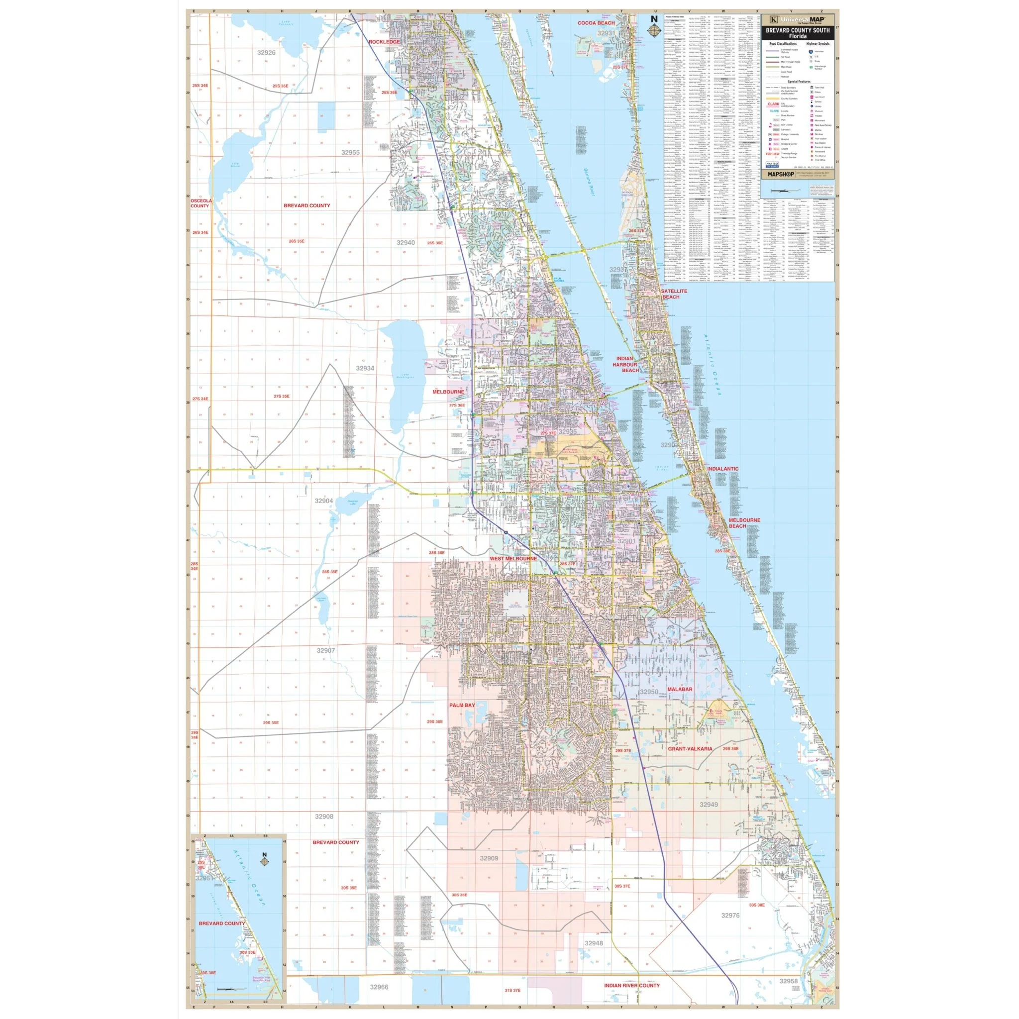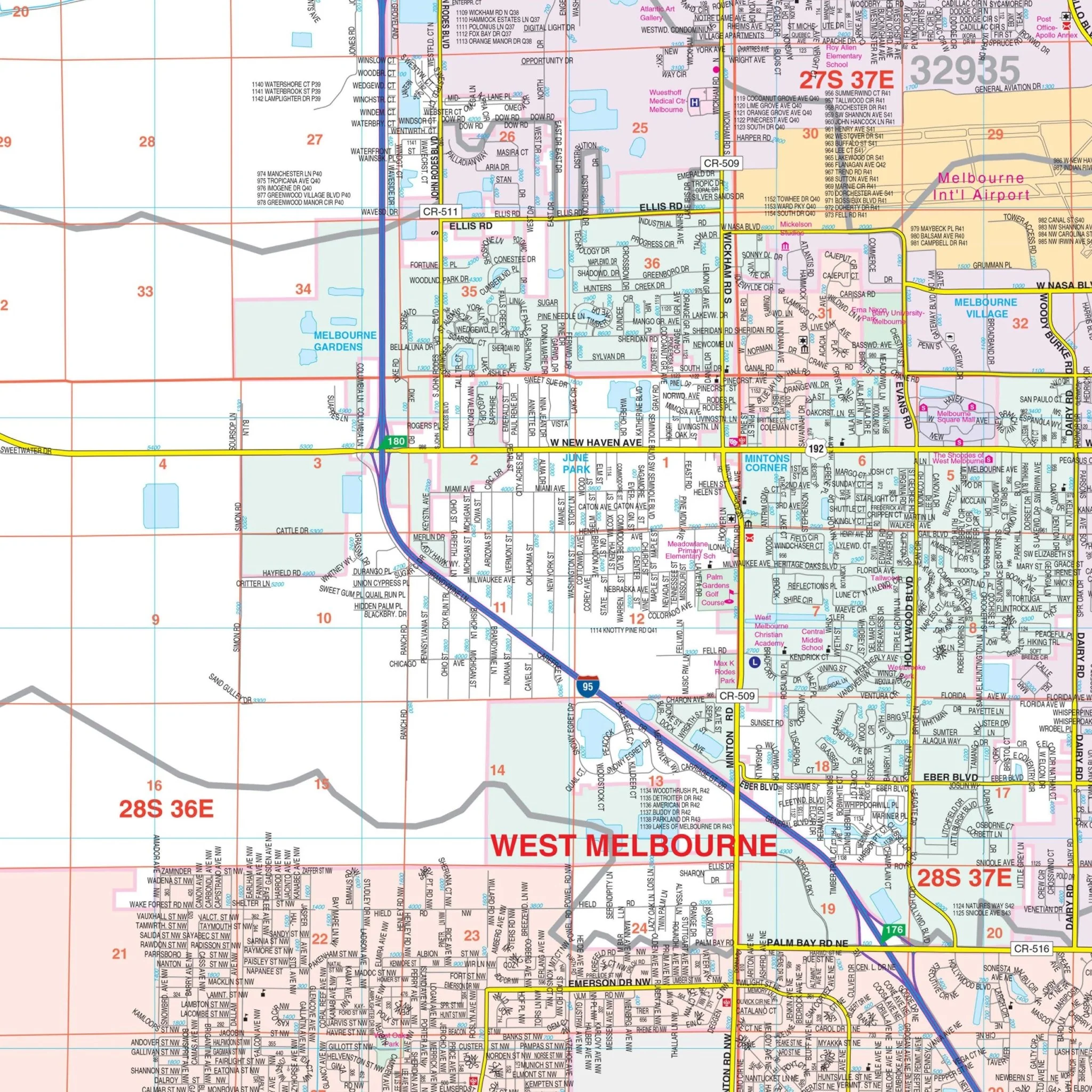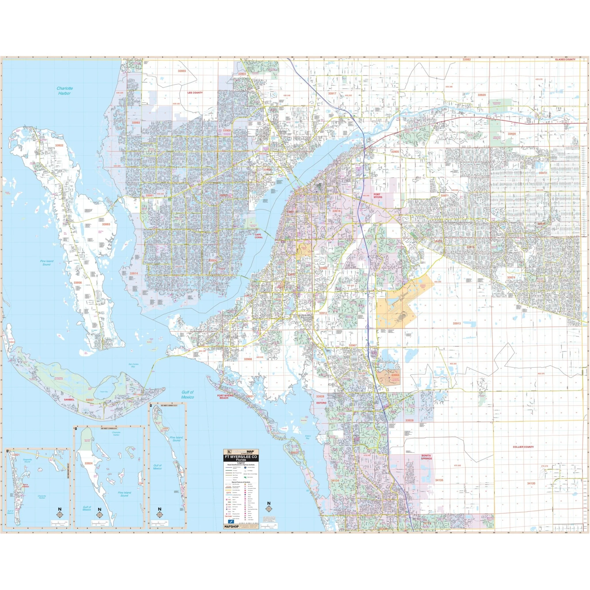
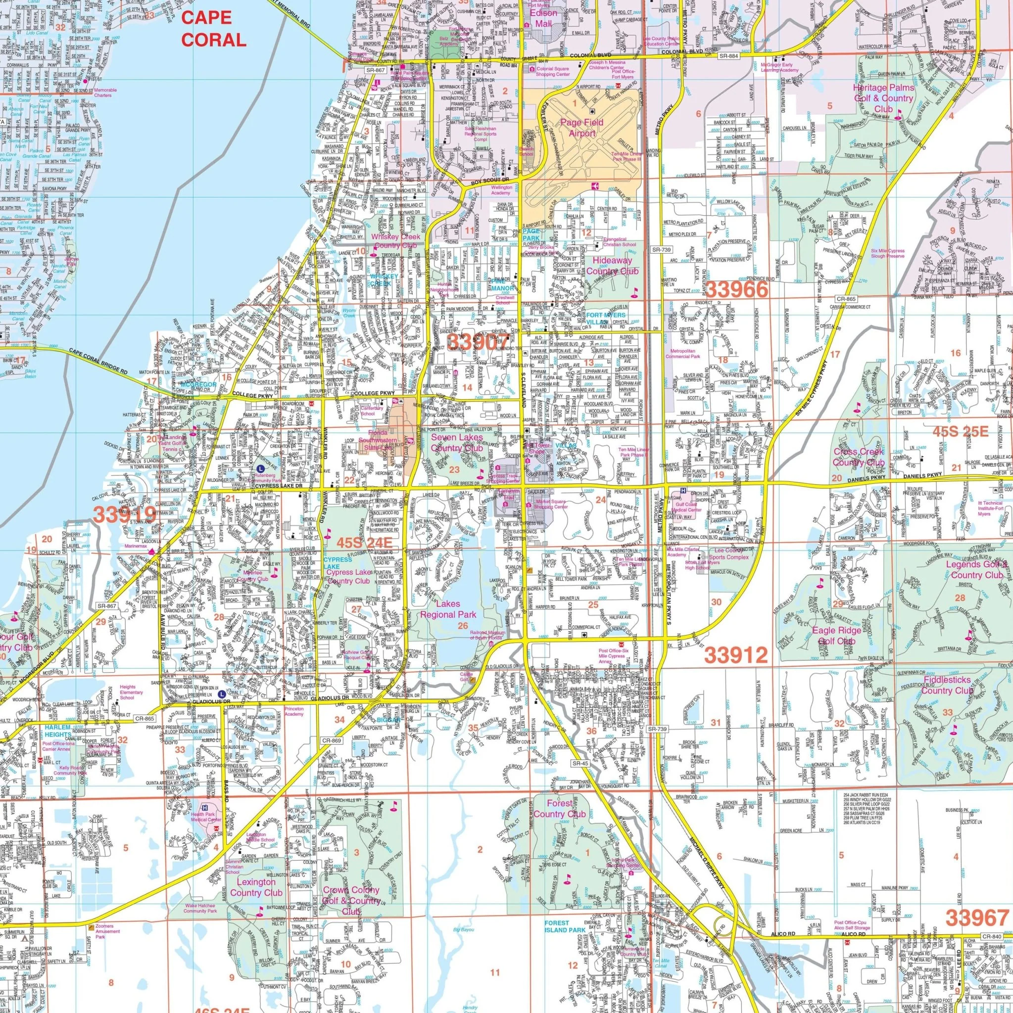


Fort Myers & Lee County, FL Wall Map
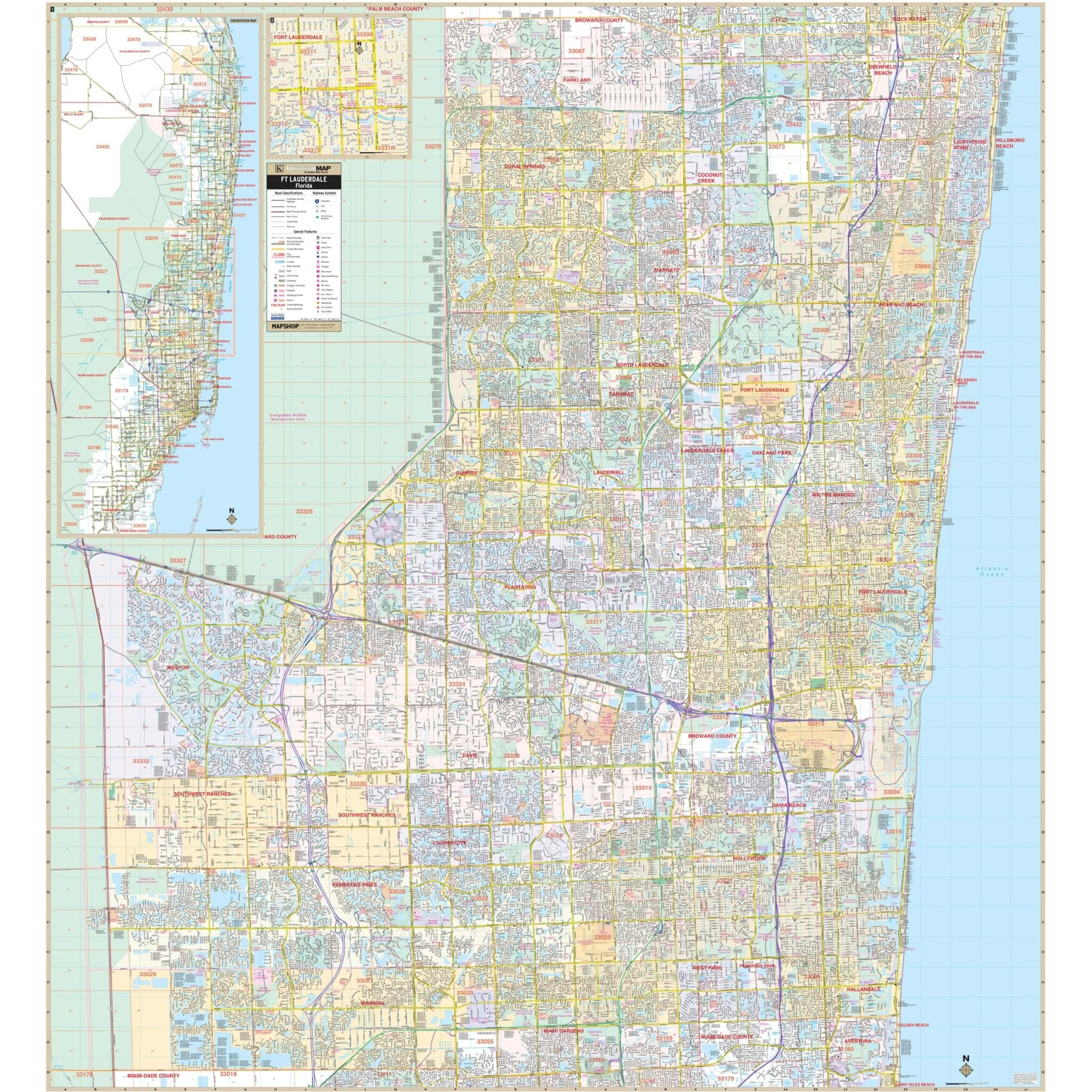
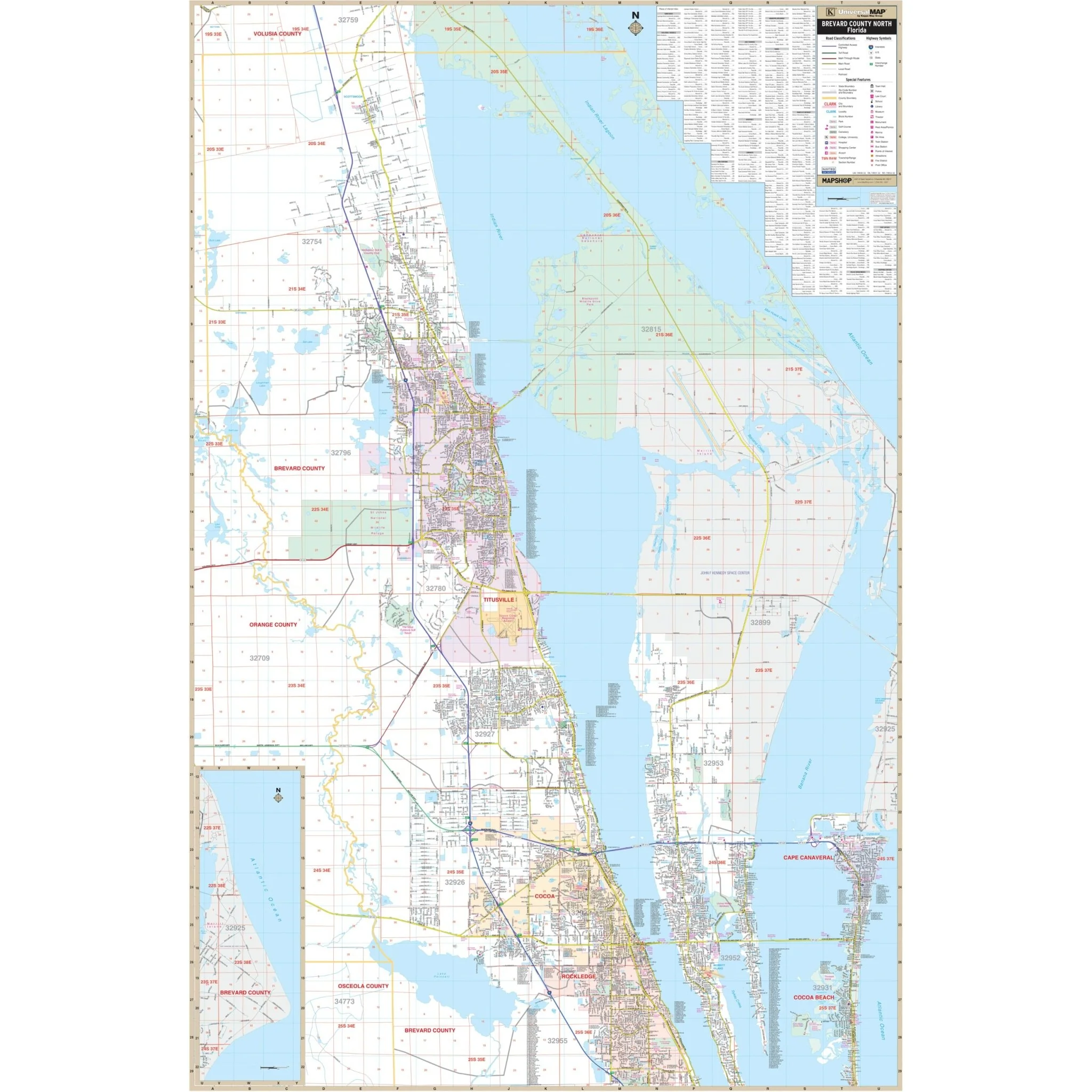
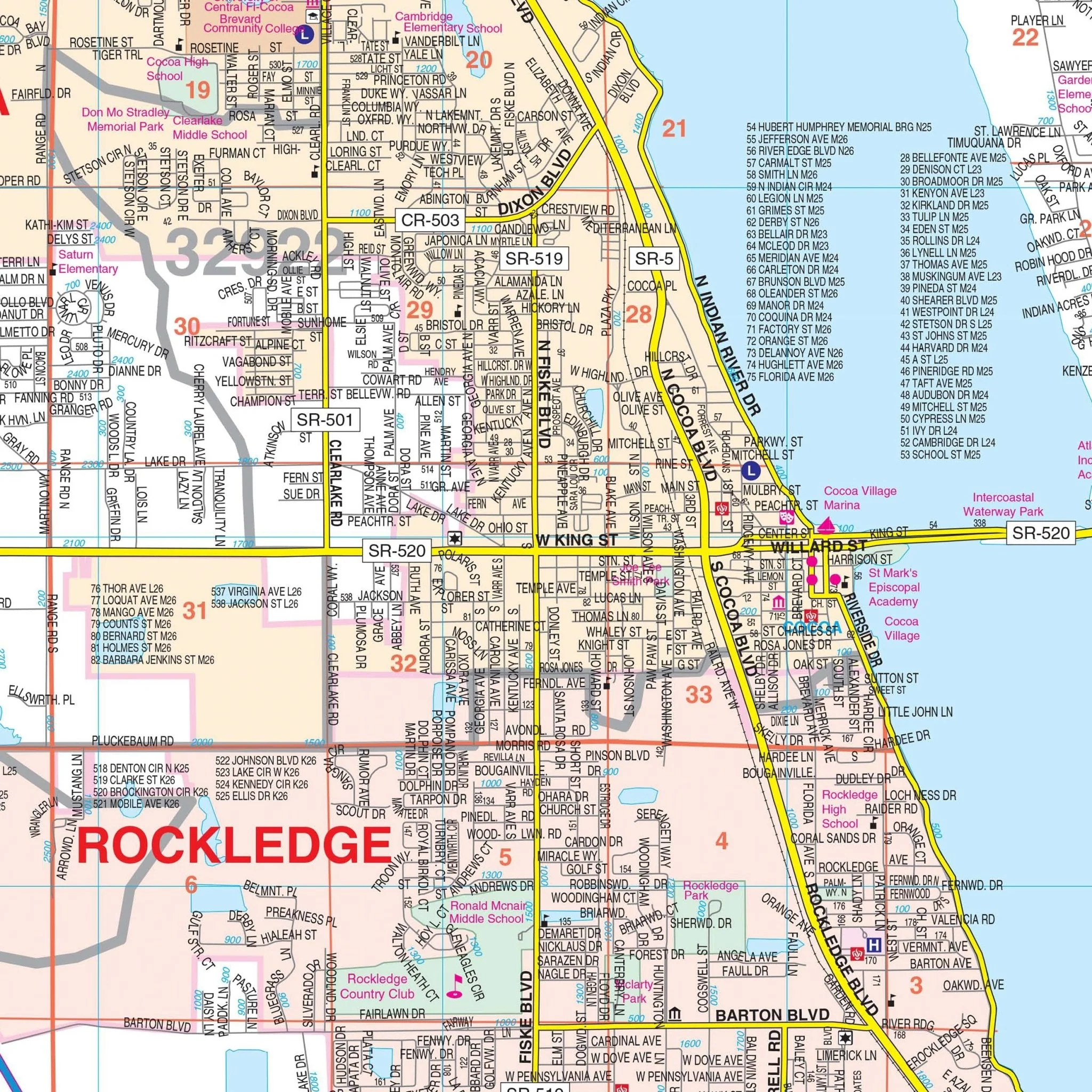
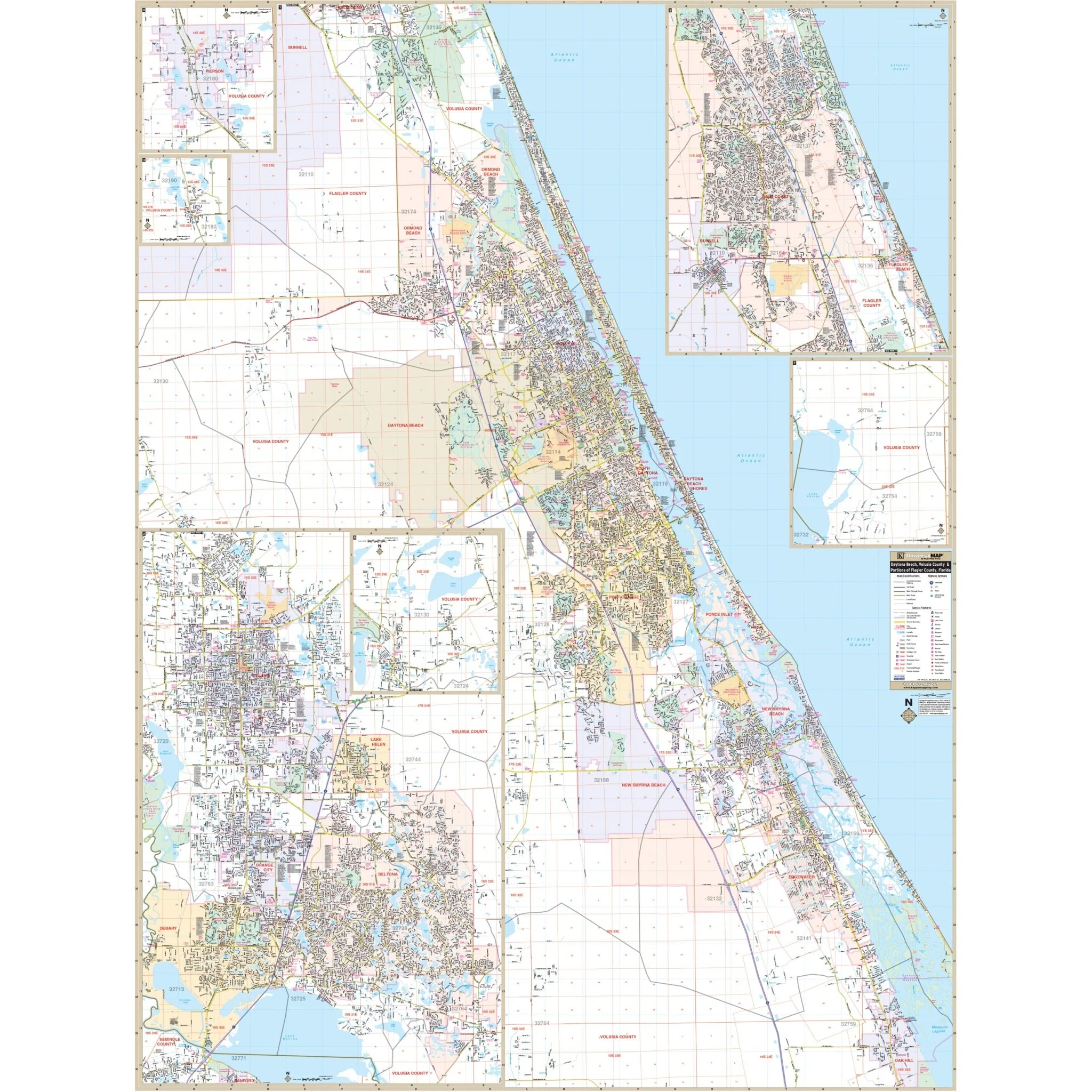
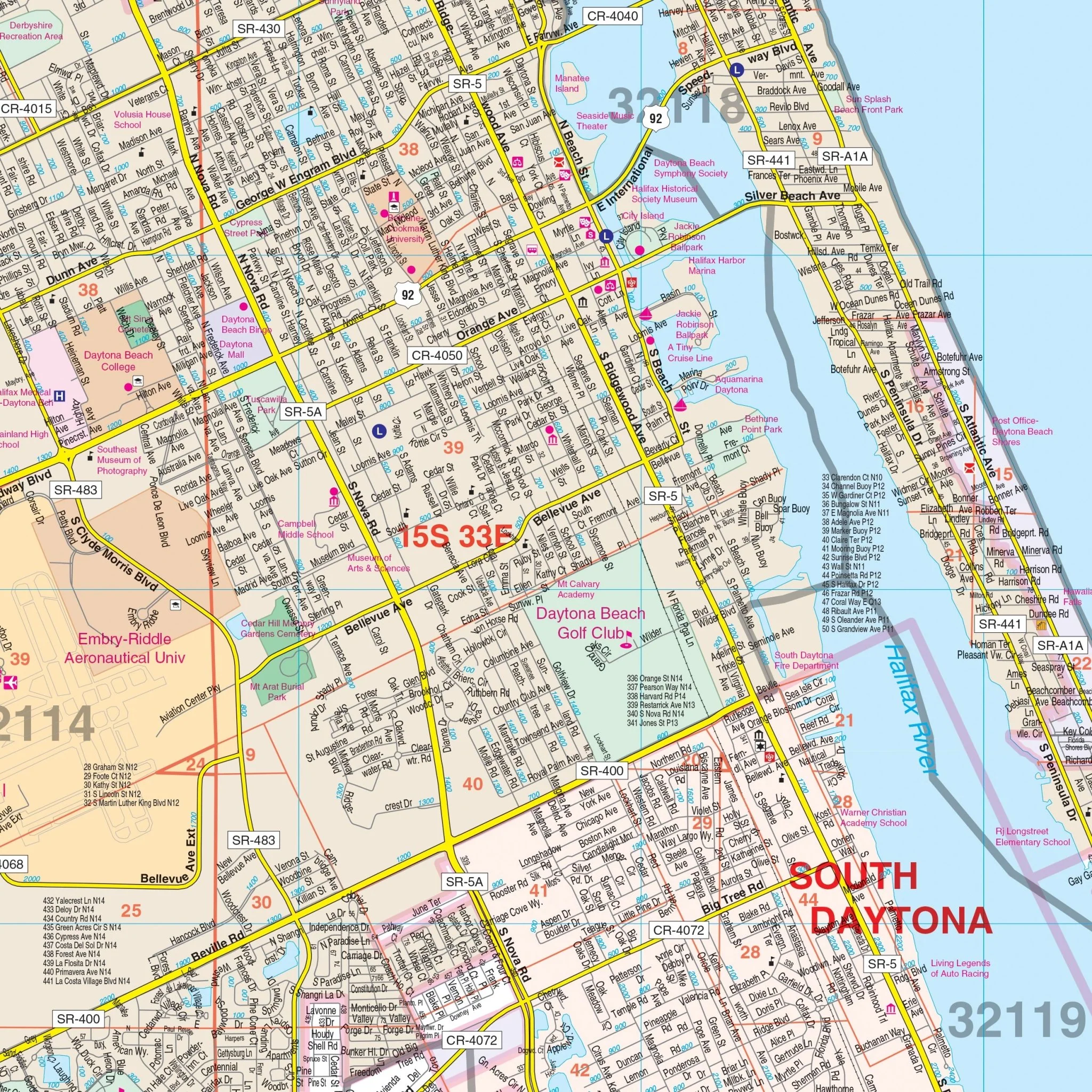
The Ft. Myers and Lee County, FL Wall Map, along with its adjacent areas, provides complete street detail at a scale of 1" = 2,750 feet. This map covers all of Lee County, with the following boundaries:
- North: Extending to the Charlotte County line
- South: Extending to the Collier County line
- East: Extending to the Hendry County line
- West: Extending to the Gulf of Mexico, including Sanibel Island, Captiva Island, Boca Grande, North Captiva Island, and Pine Island
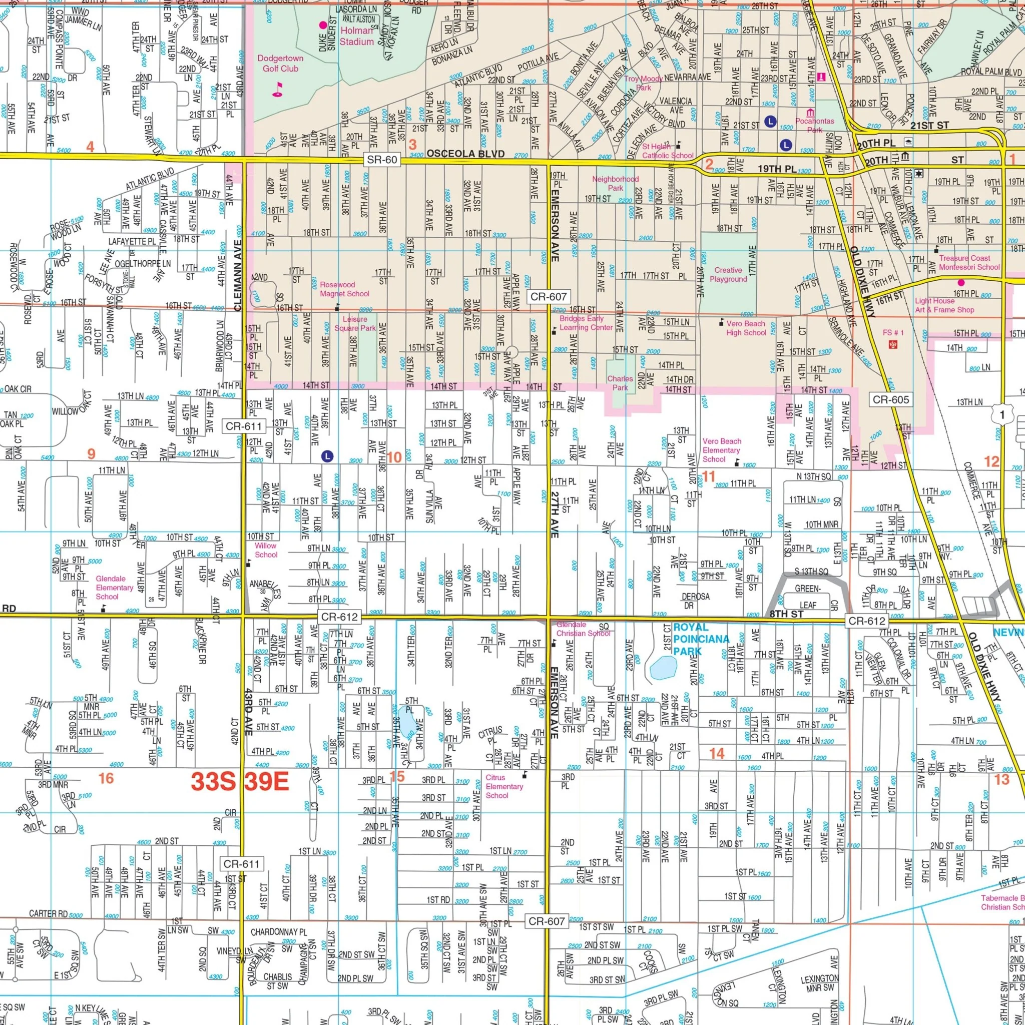
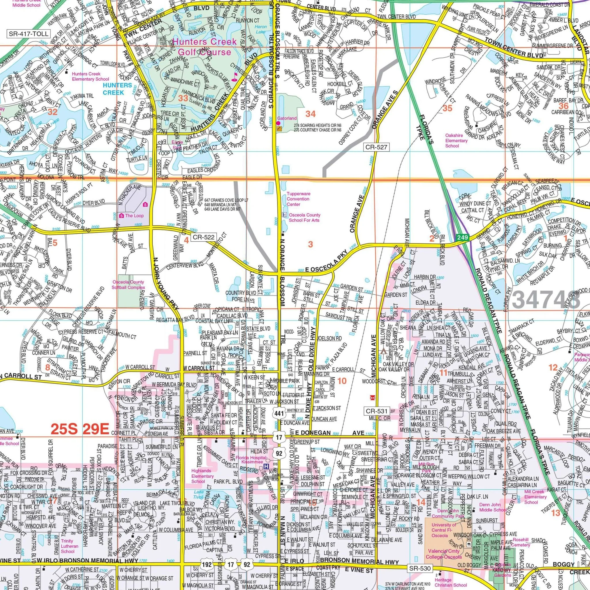
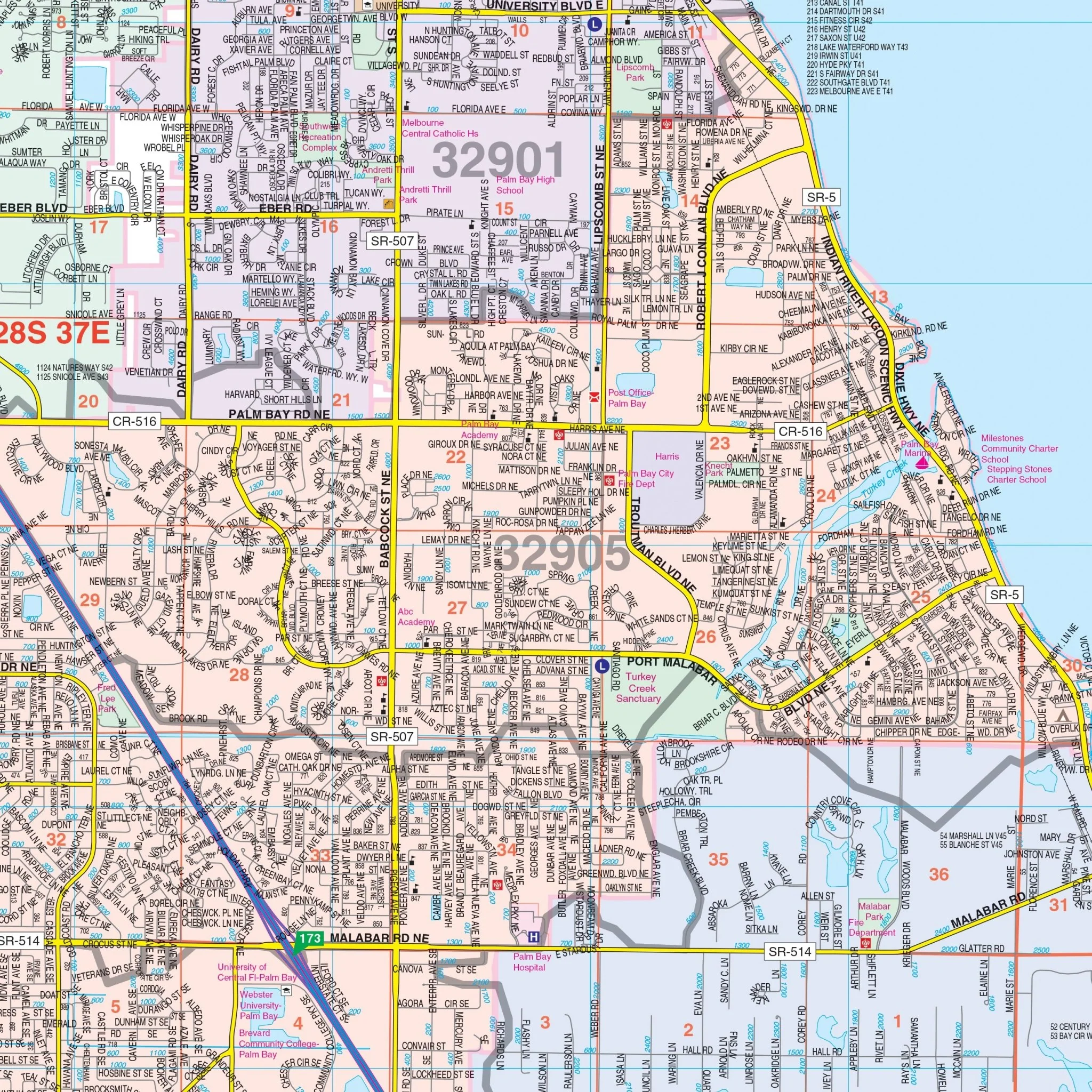
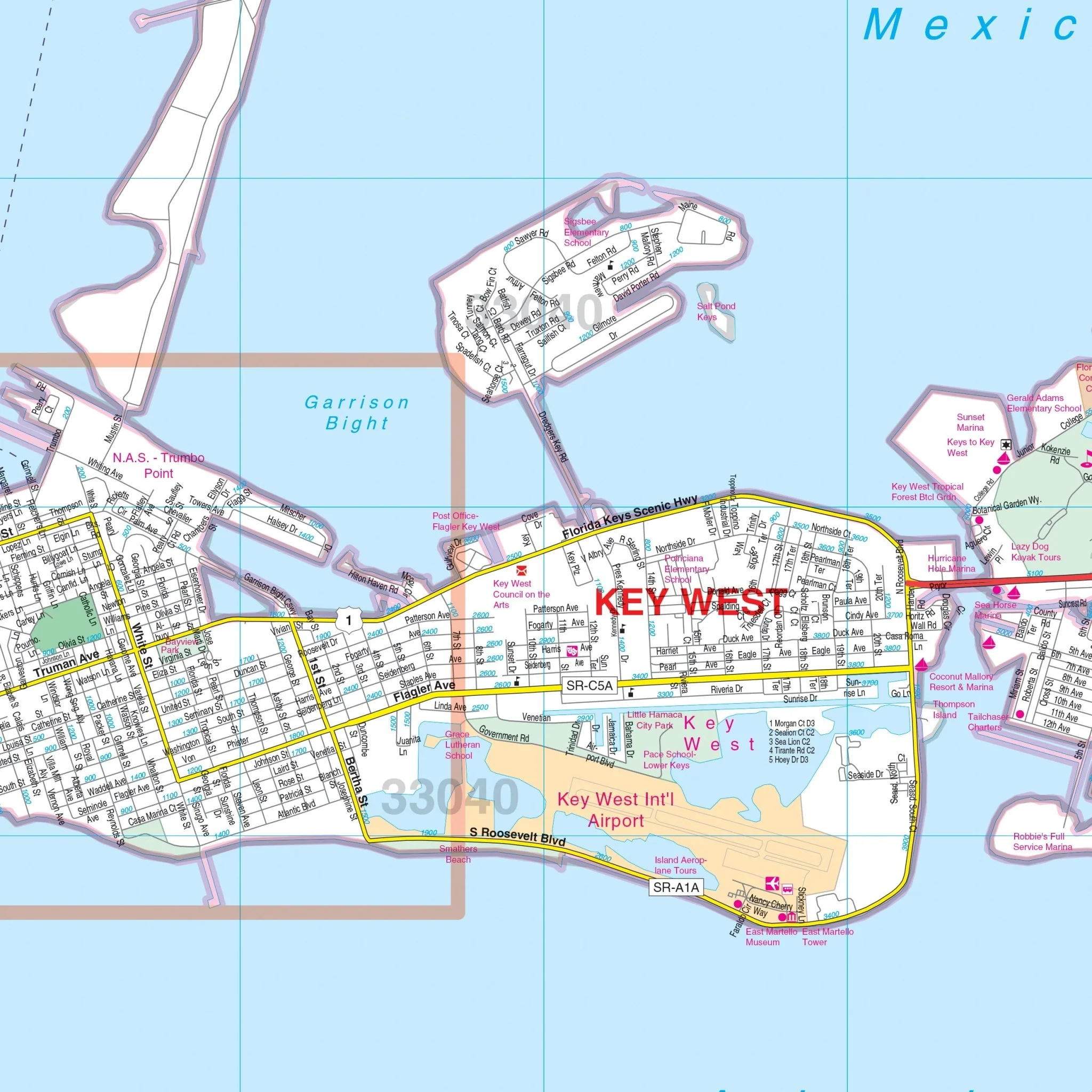
Details and features included in this map encompass airports, block numbers, cemeteries, city limits and annexations, educational institutions, golf and country clubs, government buildings, hospitals, libraries, points of interest, police stations, railroads, recreational parks, section/township/range lines and numbers, shopping centers, streets and highways, water features, as well as ZIP codes and boundaries.
Size: 70" x 57"
Published: 2012
Original: $149.99
-70%$149.99
$45.00Product Information
Product Information
Shipping & Returns
Shipping & Returns
Description
The Ft. Myers and Lee County, FL Wall Map, along with its adjacent areas, provides complete street detail at a scale of 1" = 2,750 feet. This map covers all of Lee County, with the following boundaries:
- North: Extending to the Charlotte County line
- South: Extending to the Collier County line
- East: Extending to the Hendry County line
- West: Extending to the Gulf of Mexico, including Sanibel Island, Captiva Island, Boca Grande, North Captiva Island, and Pine Island
Details and features included in this map encompass airports, block numbers, cemeteries, city limits and annexations, educational institutions, golf and country clubs, government buildings, hospitals, libraries, points of interest, police stations, railroads, recreational parks, section/township/range lines and numbers, shopping centers, streets and highways, water features, as well as ZIP codes and boundaries.
Size: 70" x 57"
Published: 2012