


Jacksonville, FL Wall Map
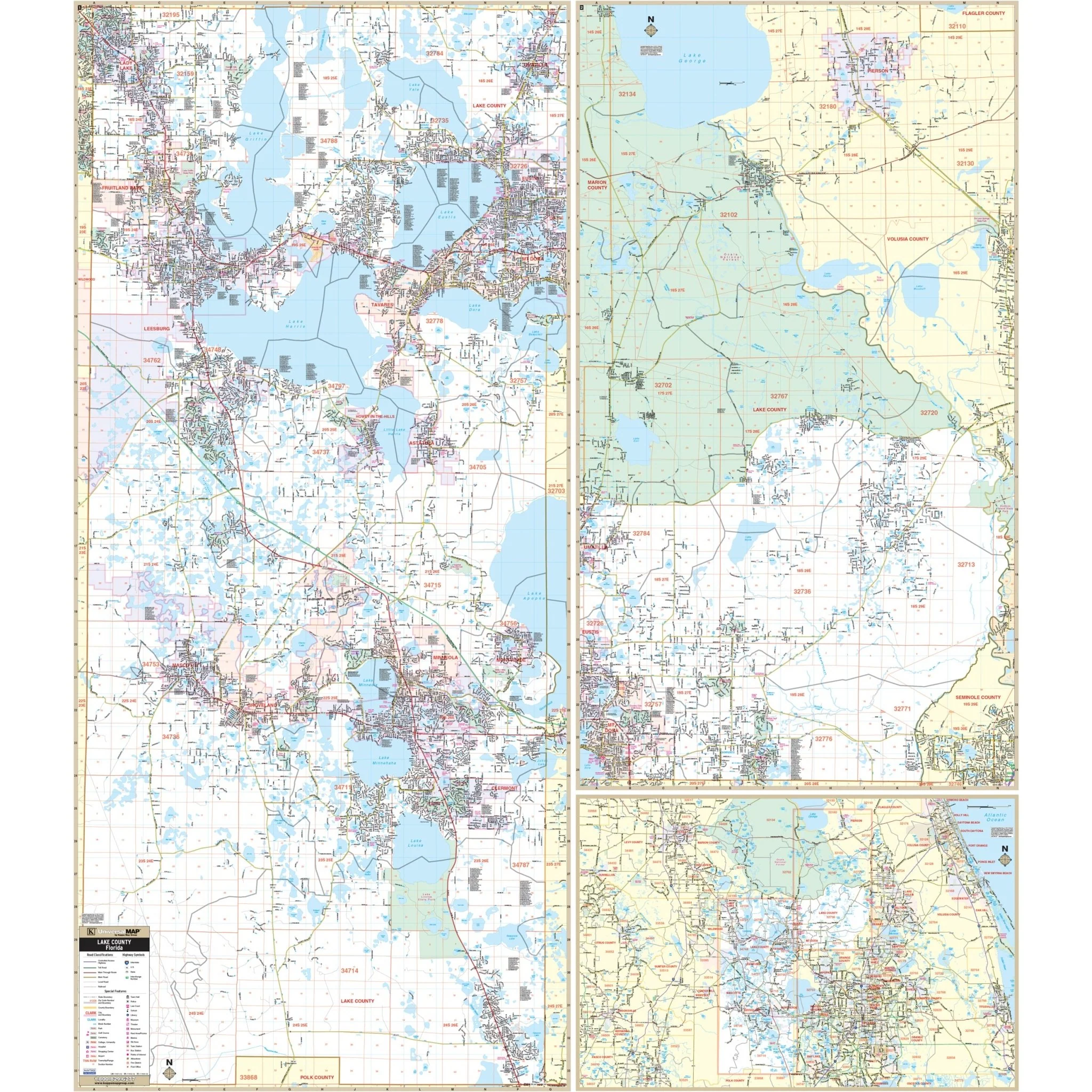
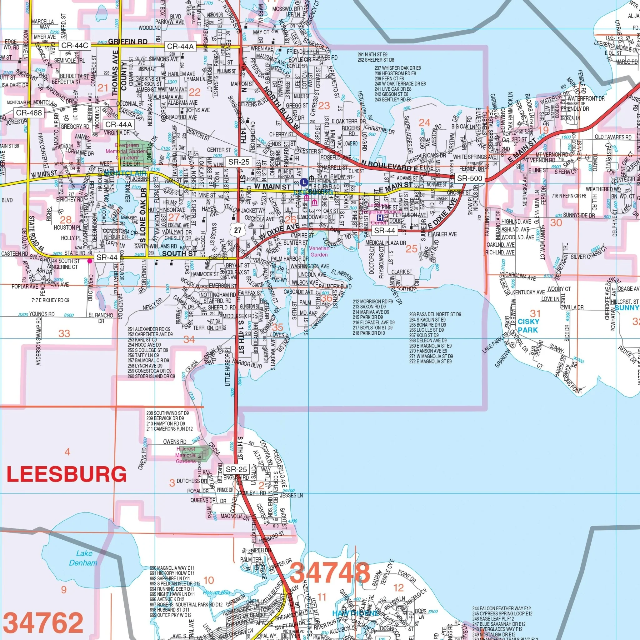
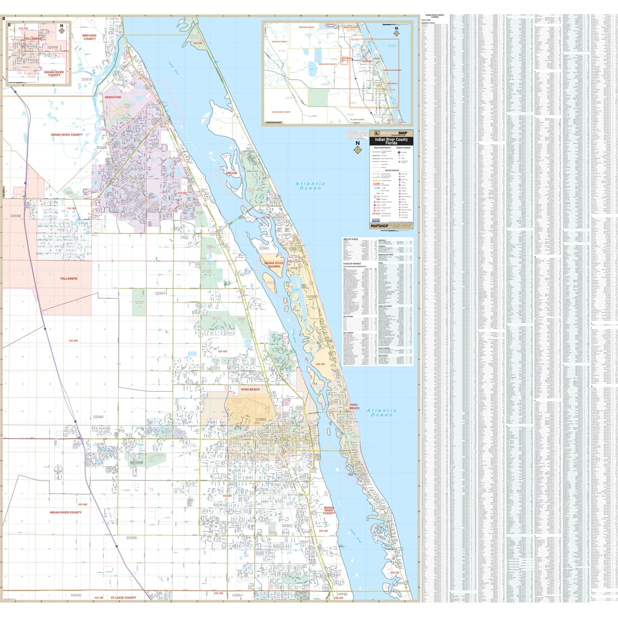
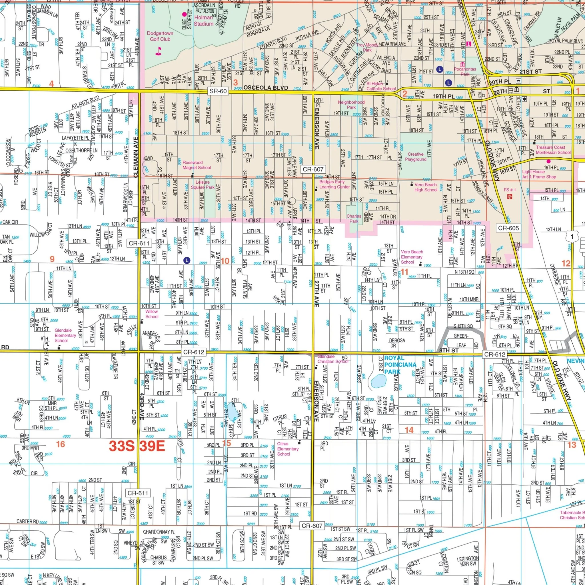
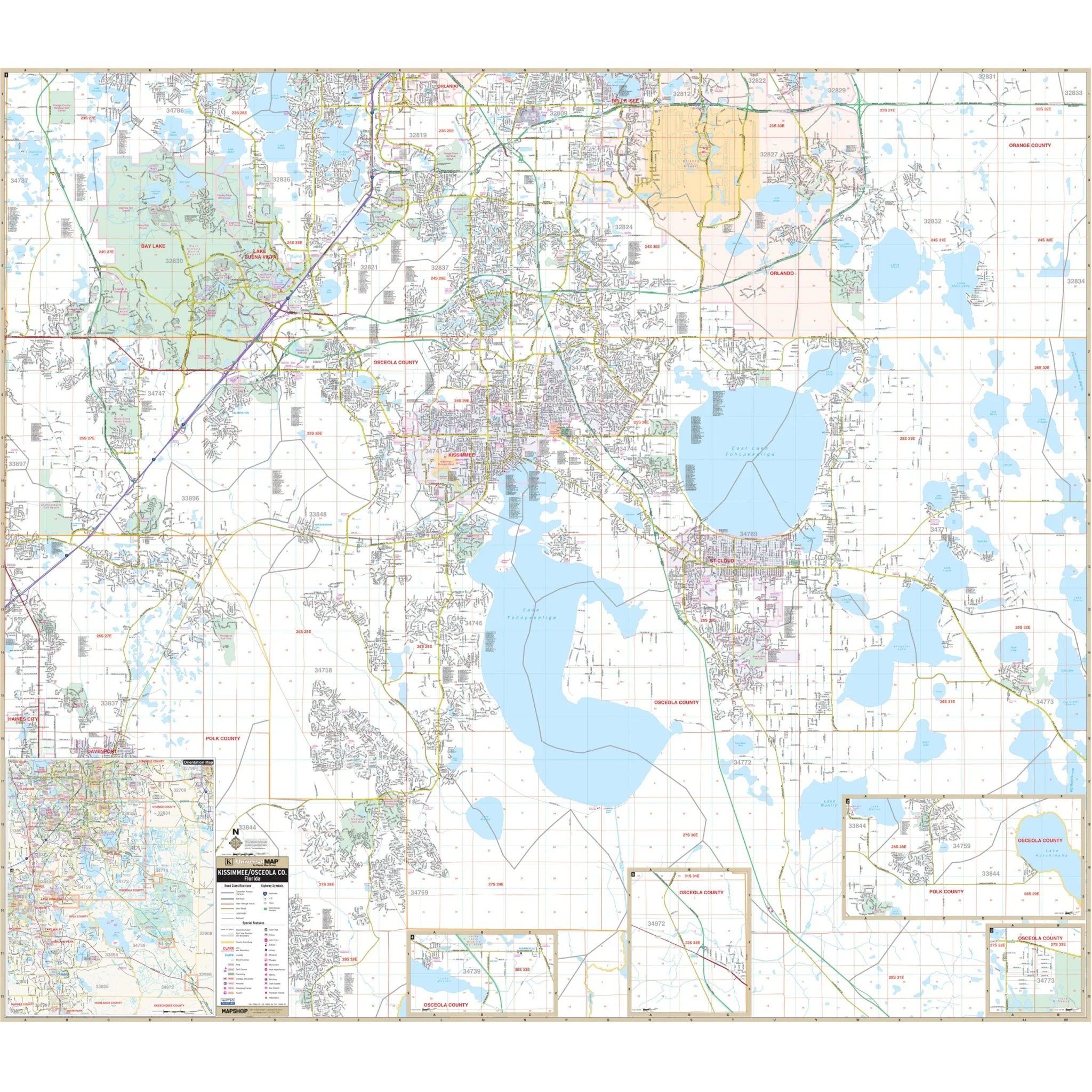
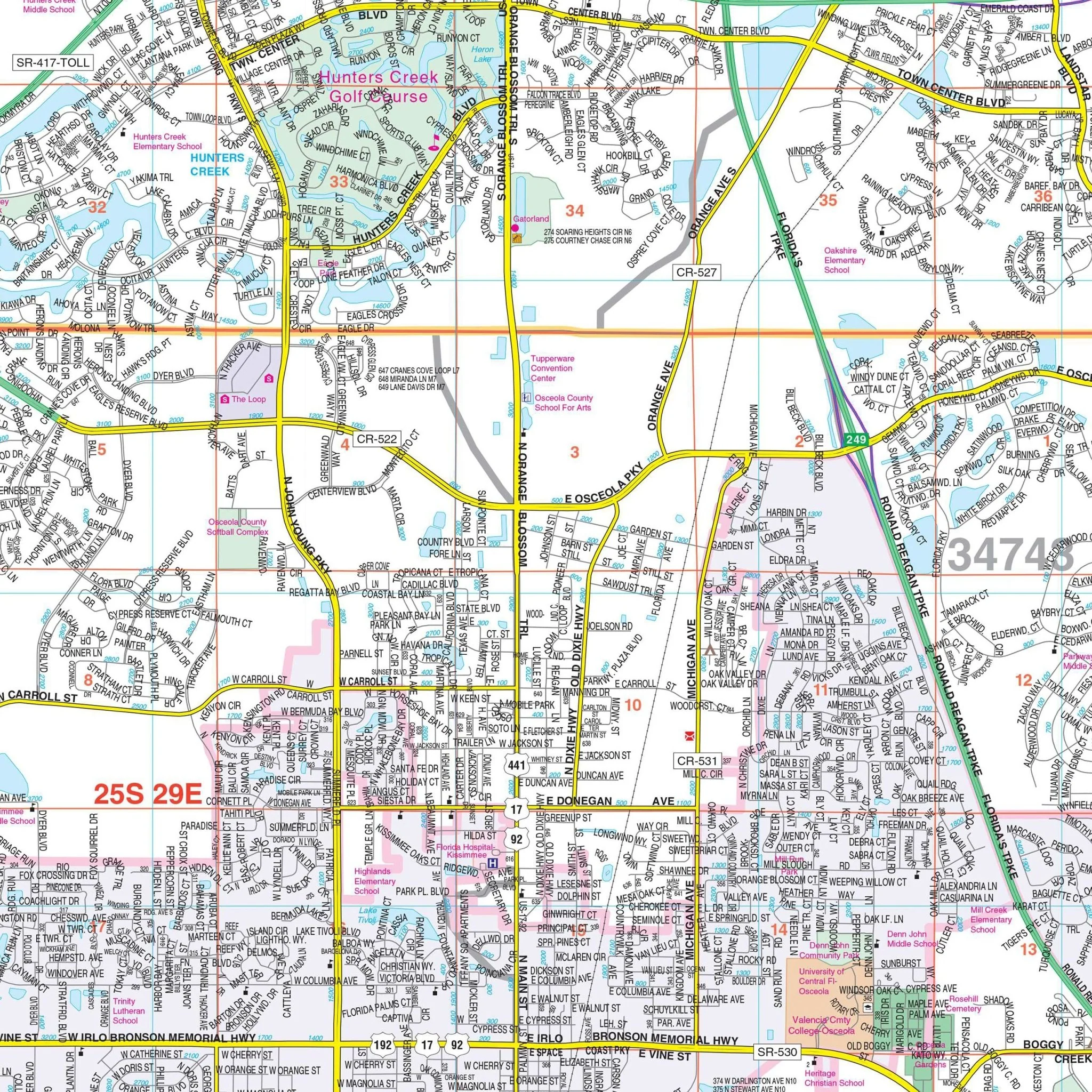
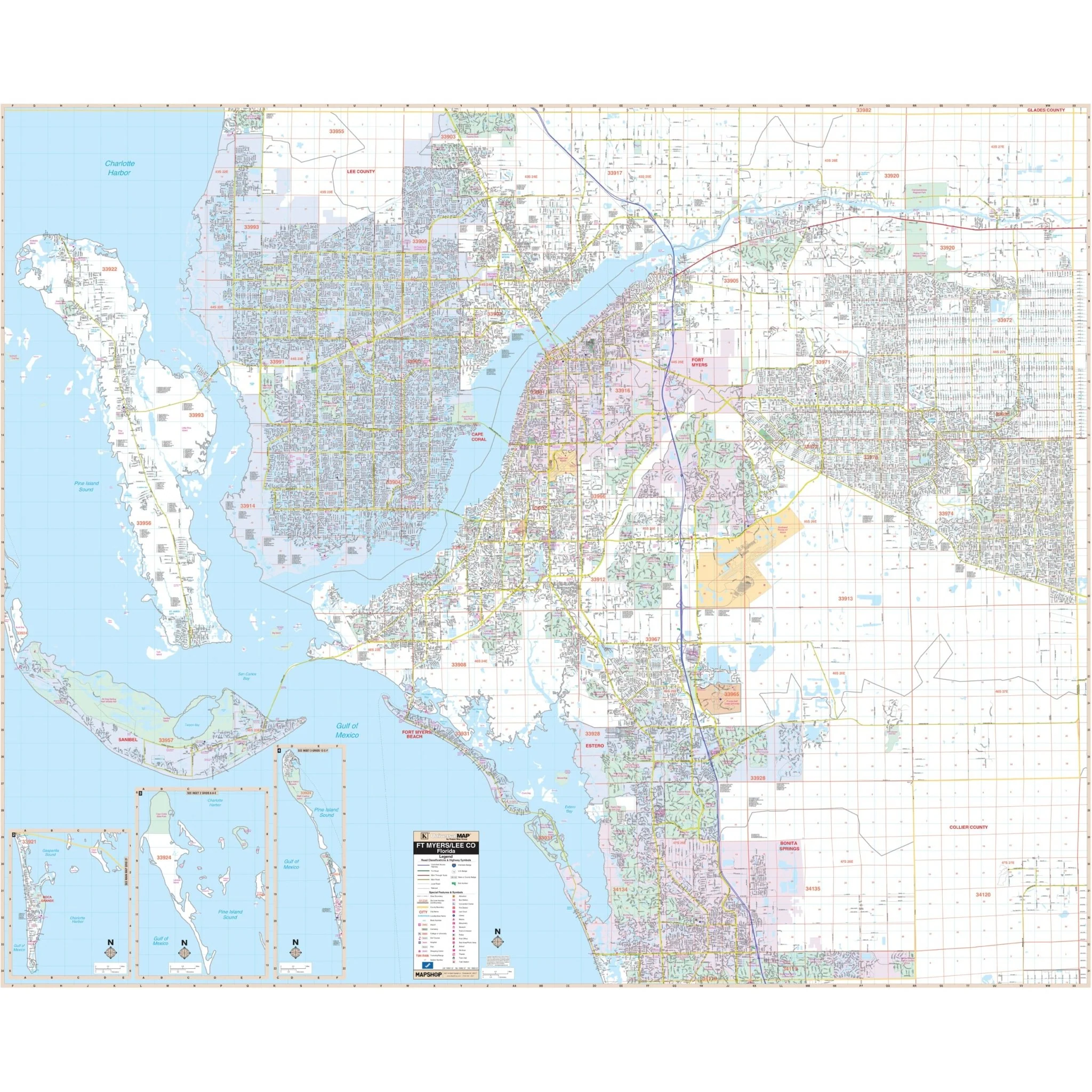
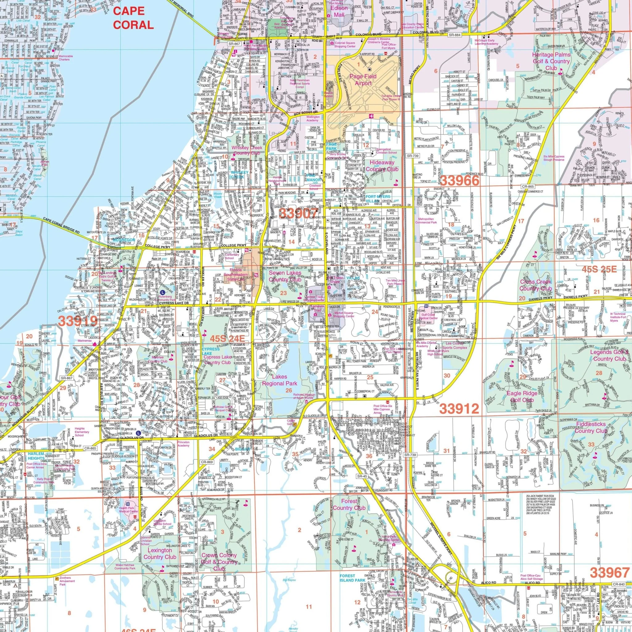
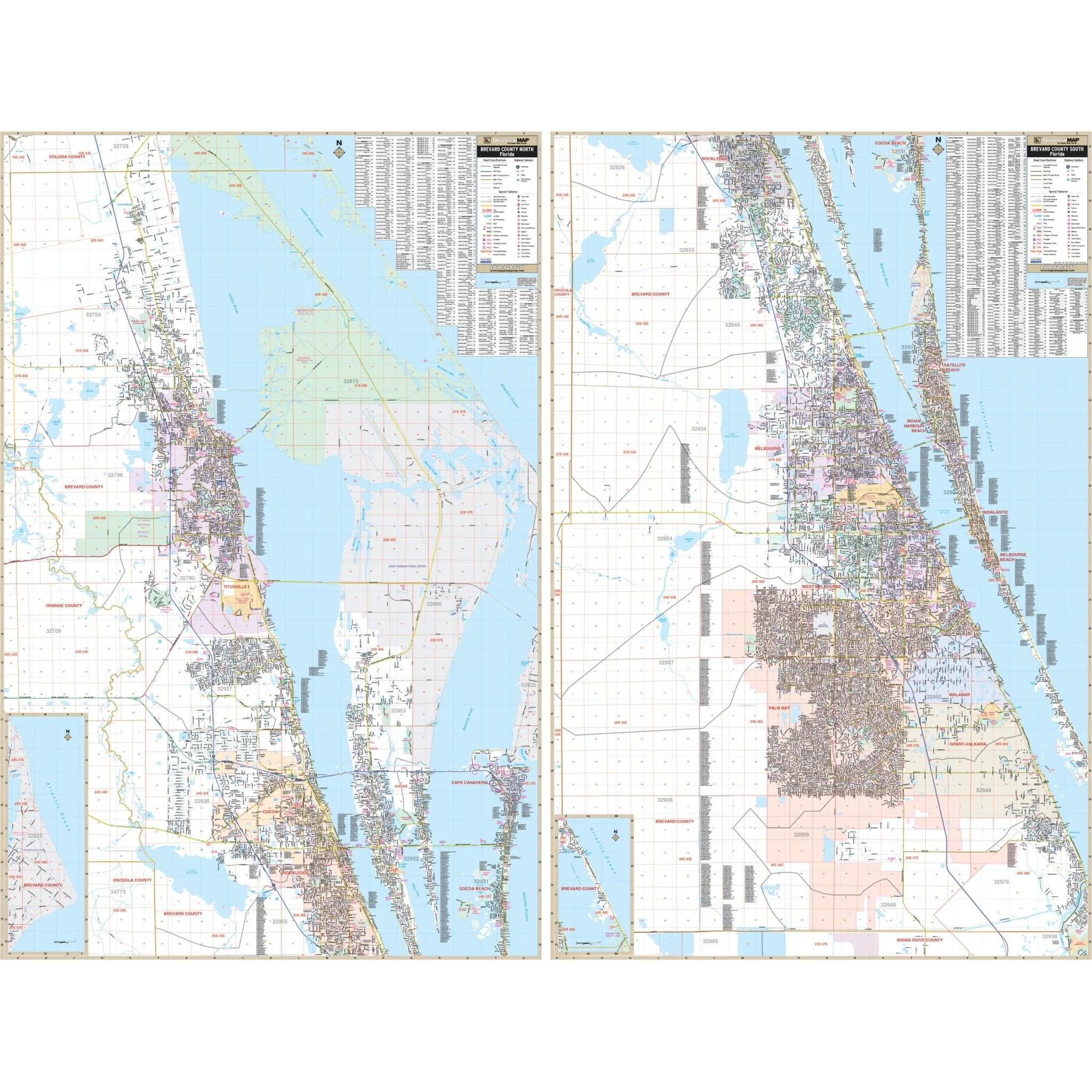
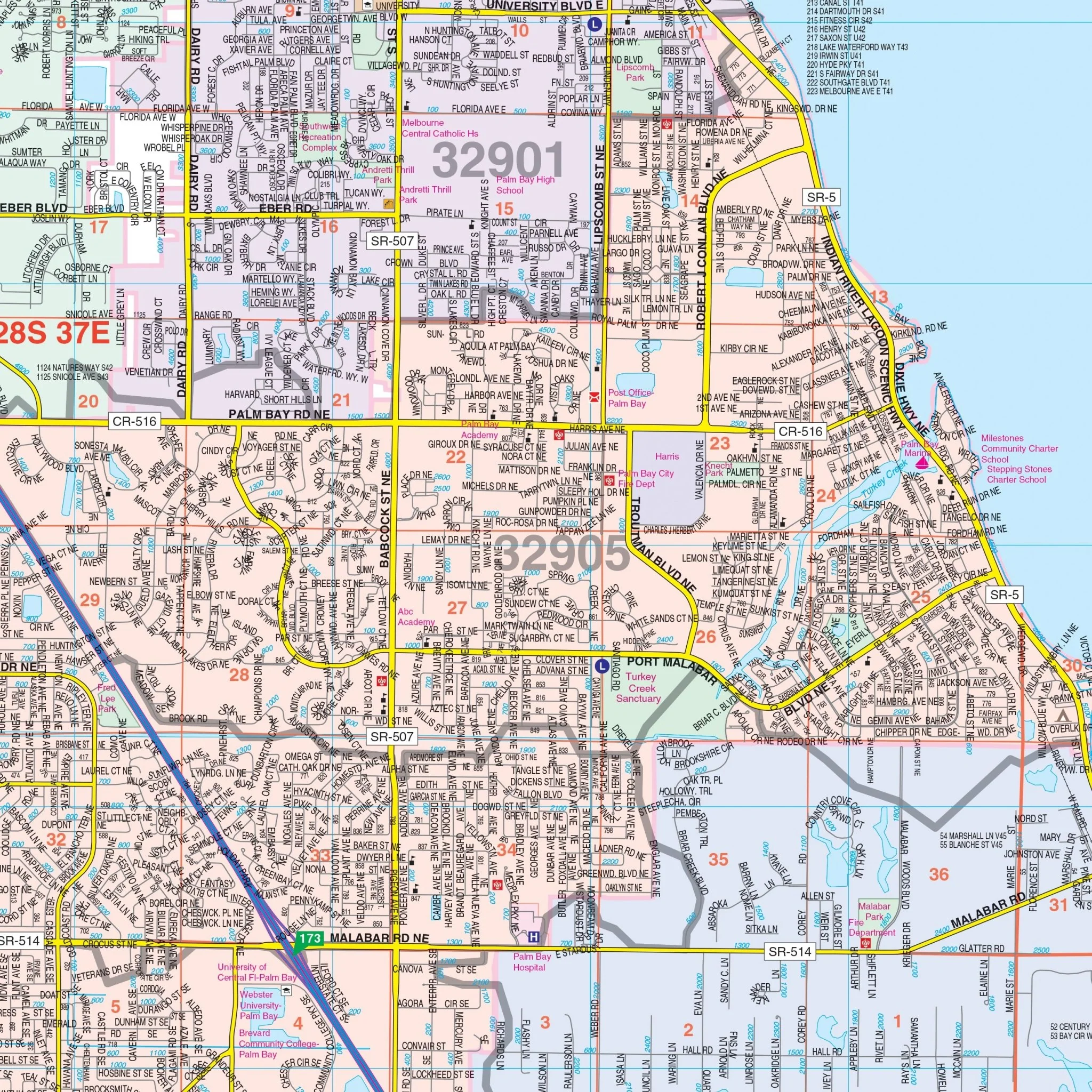
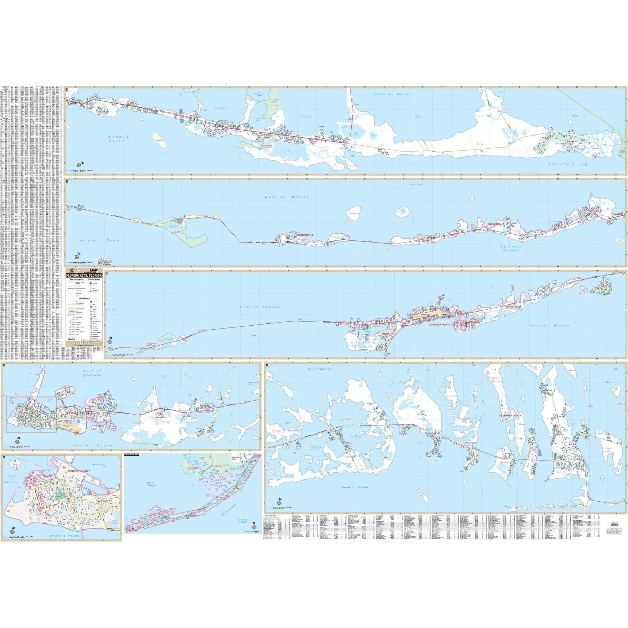
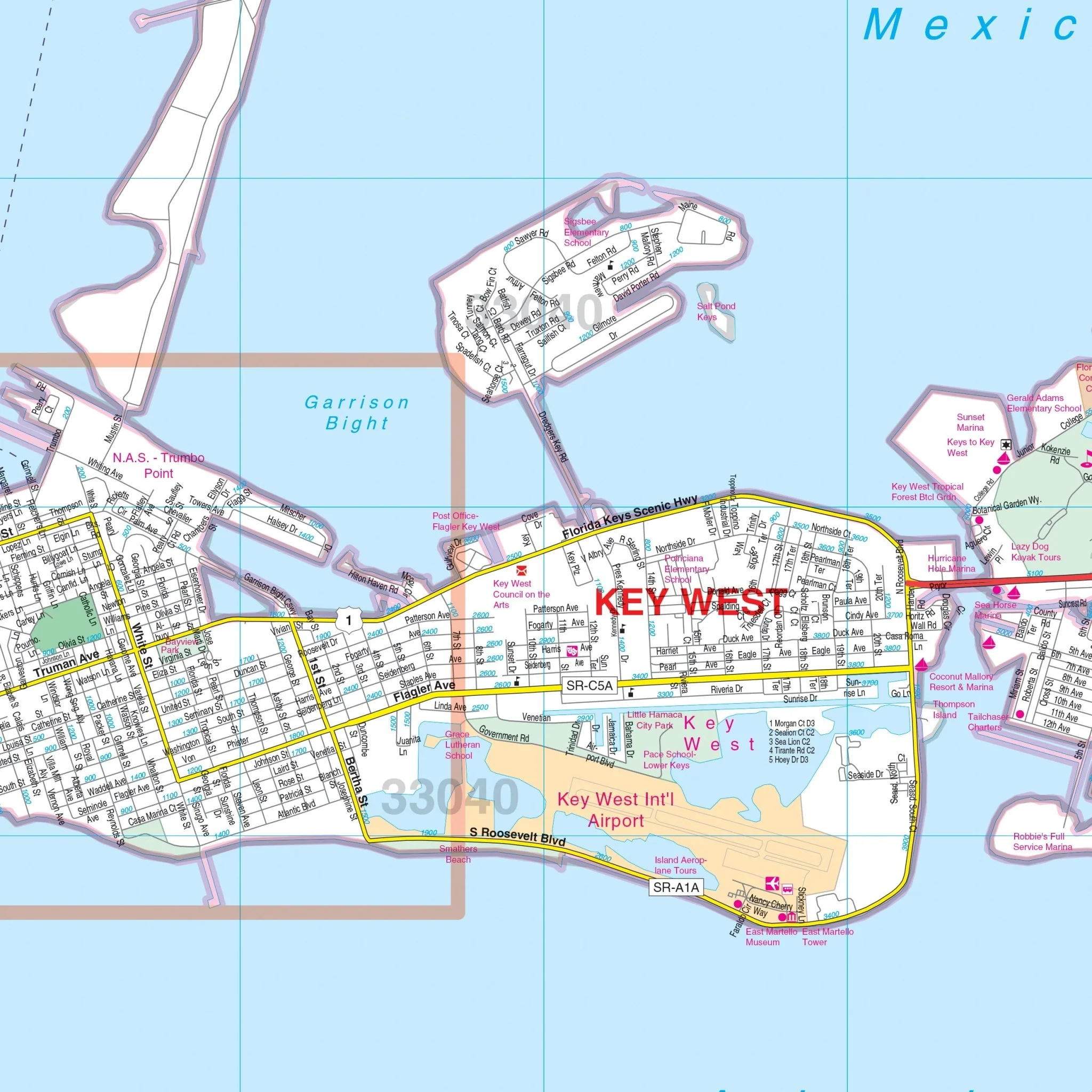
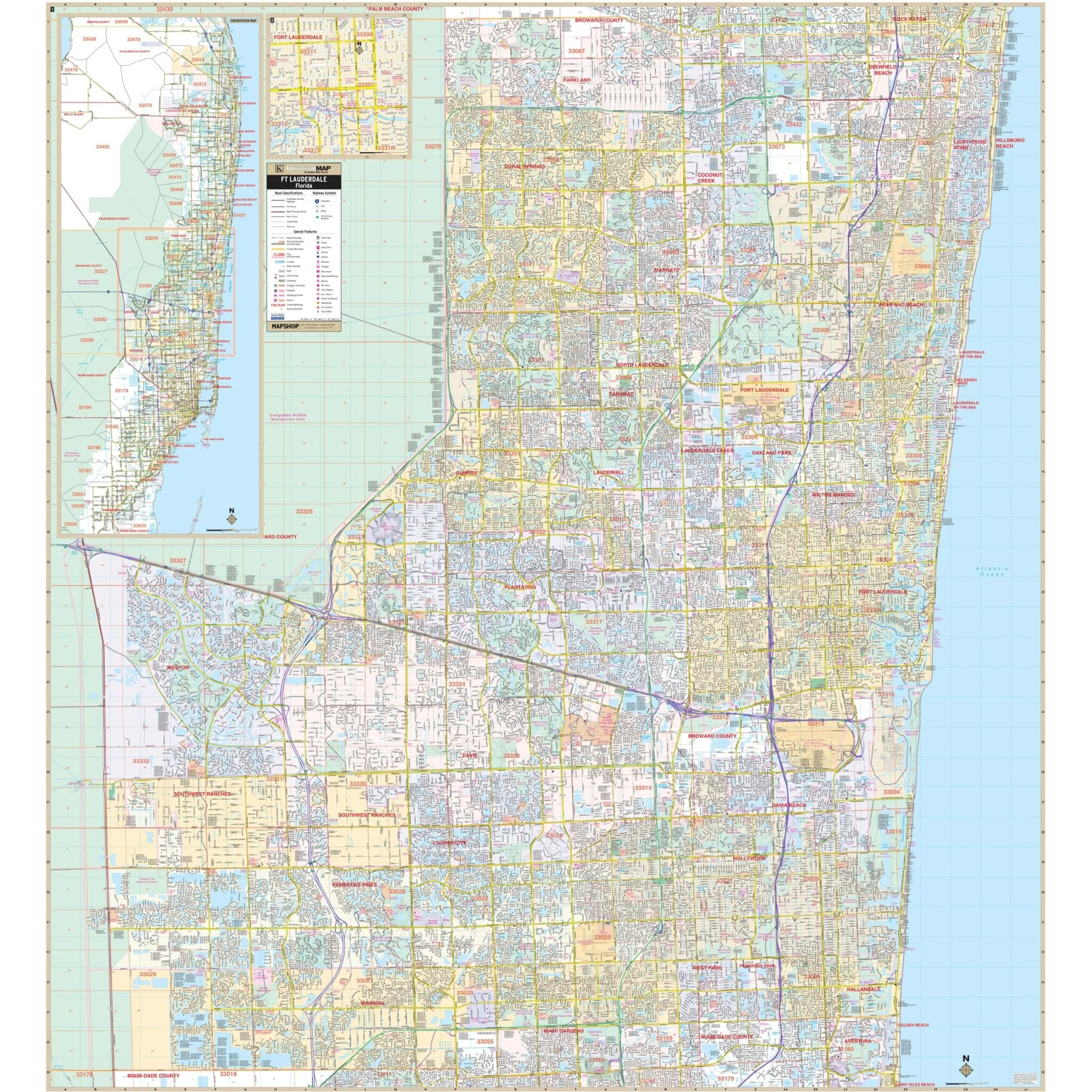
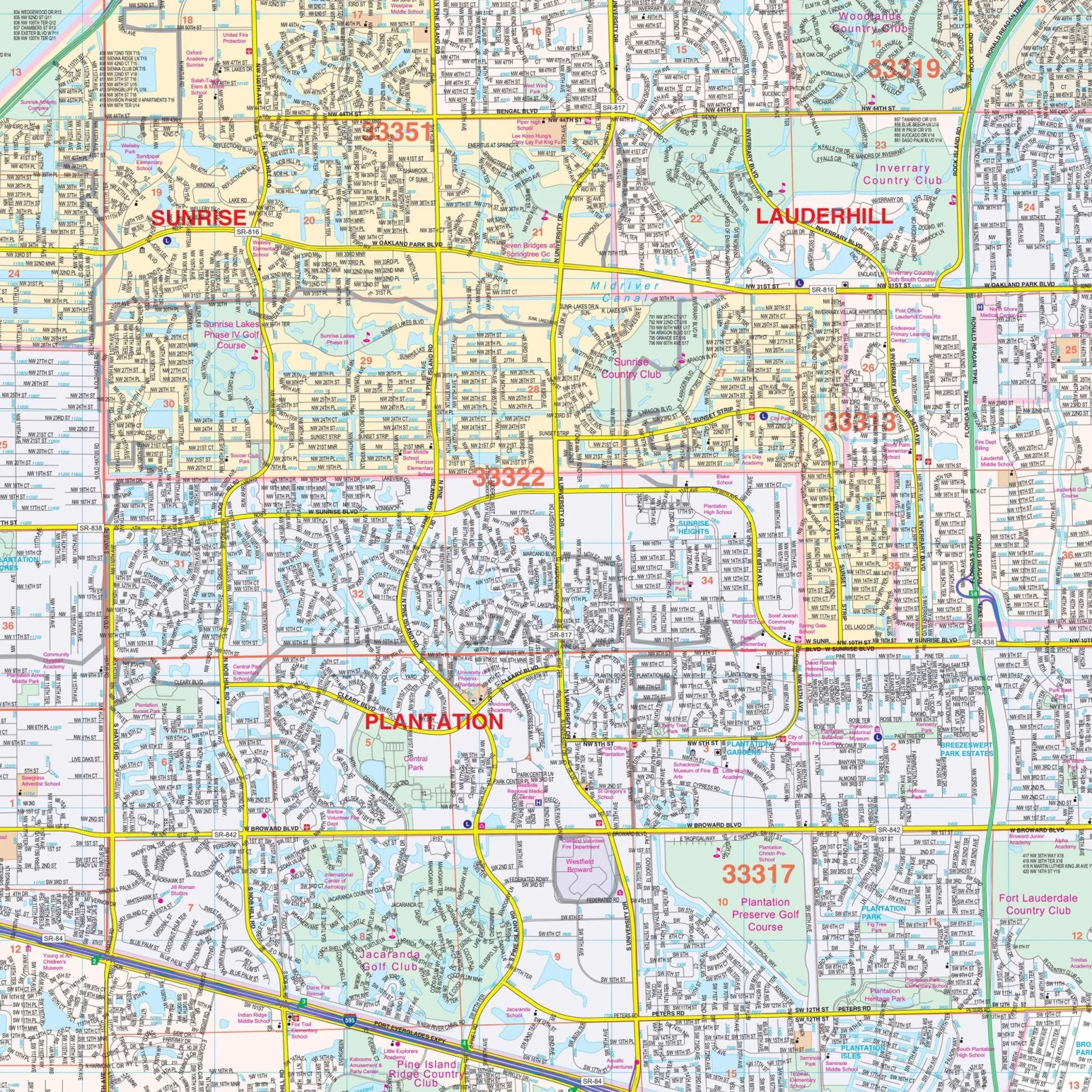
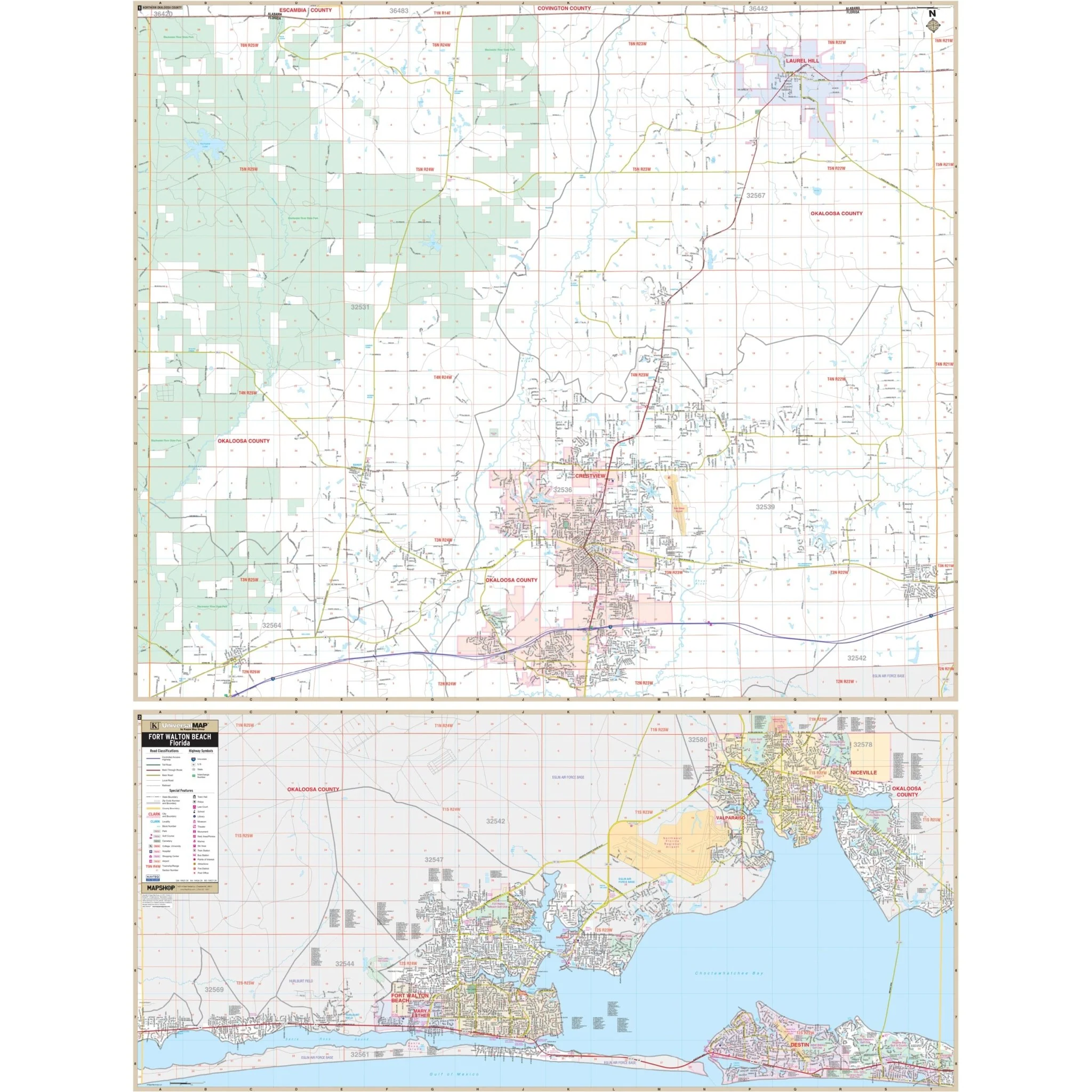
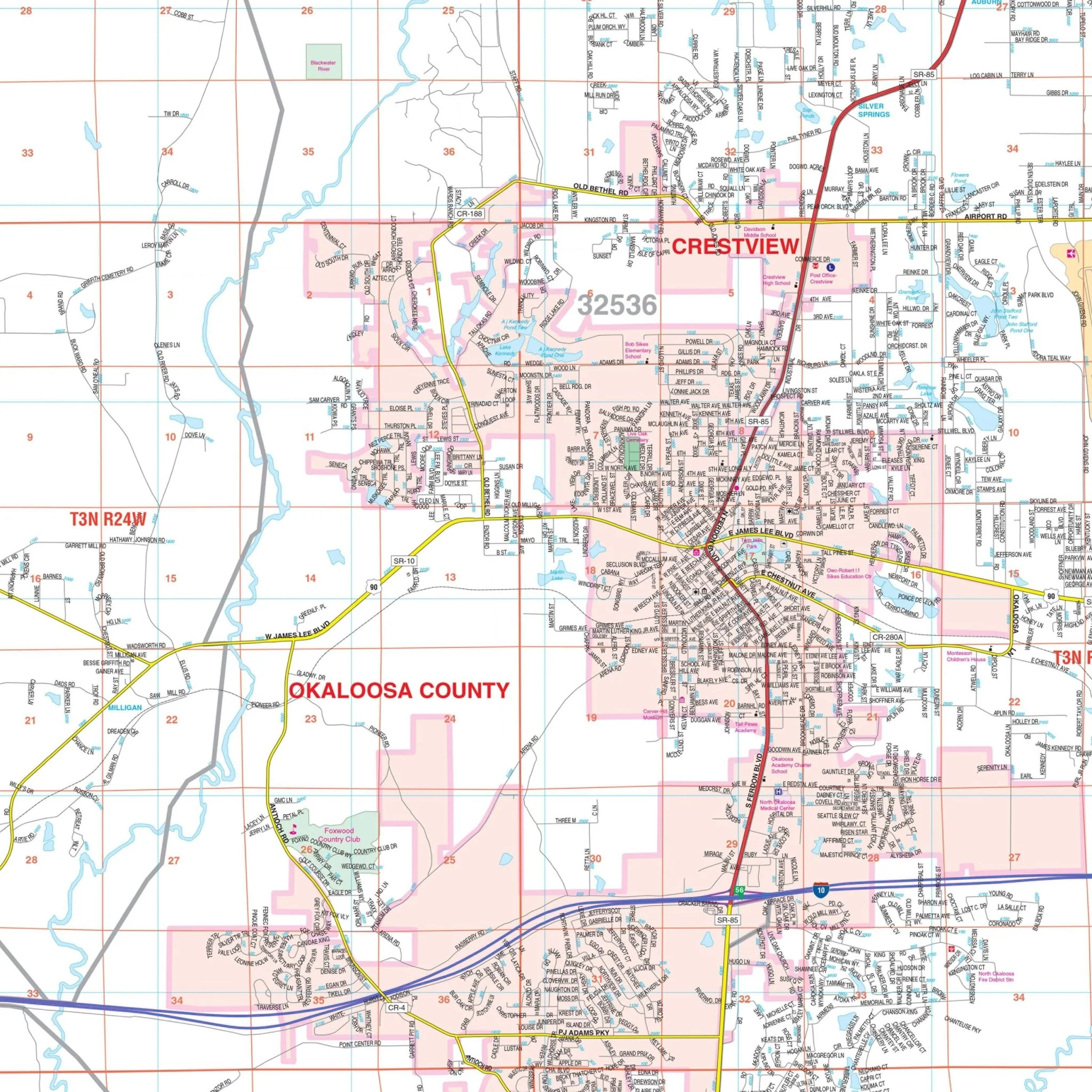
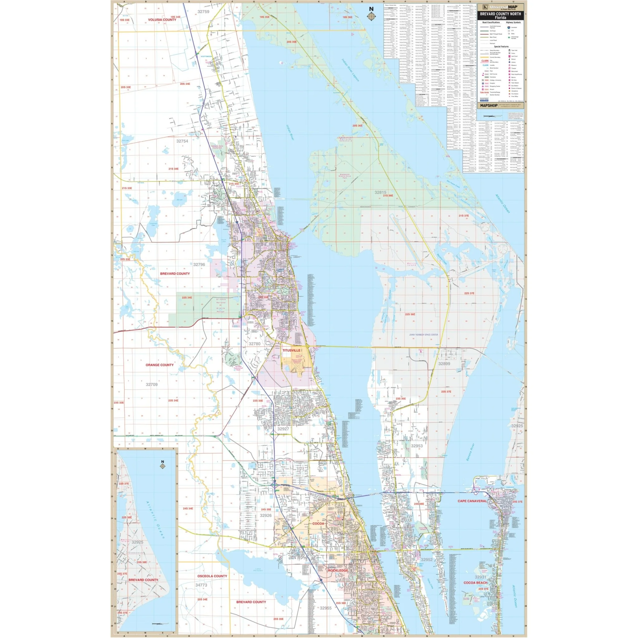
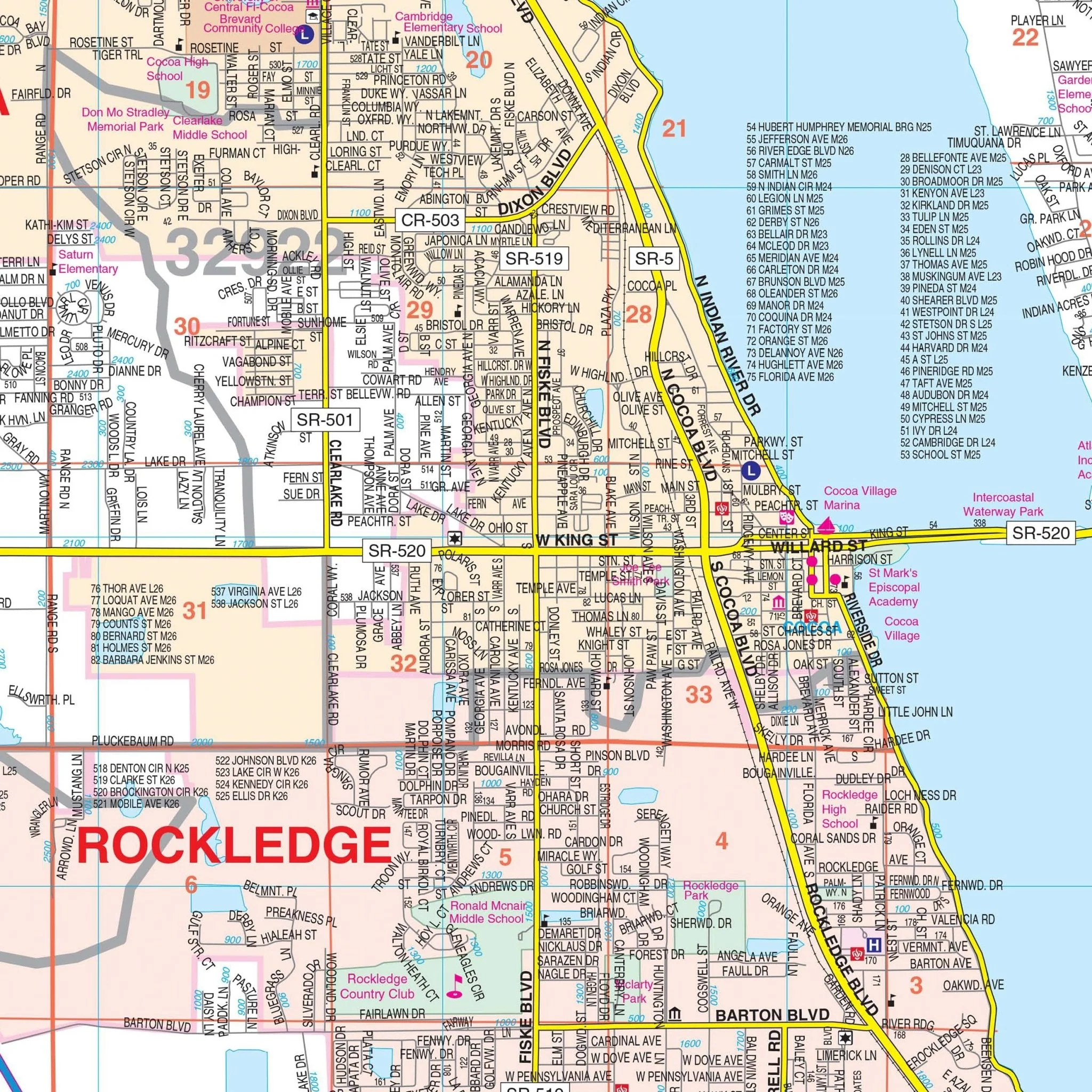
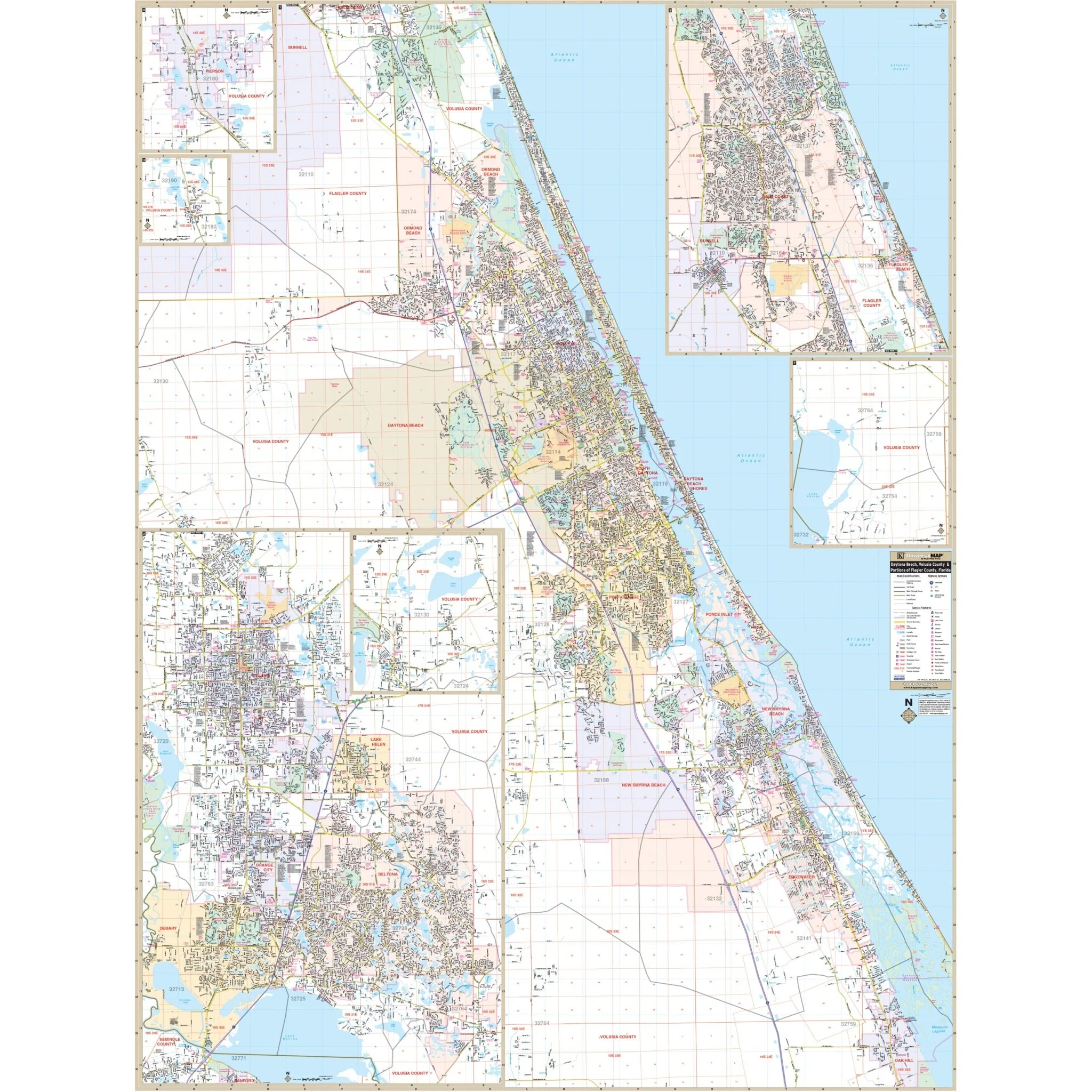
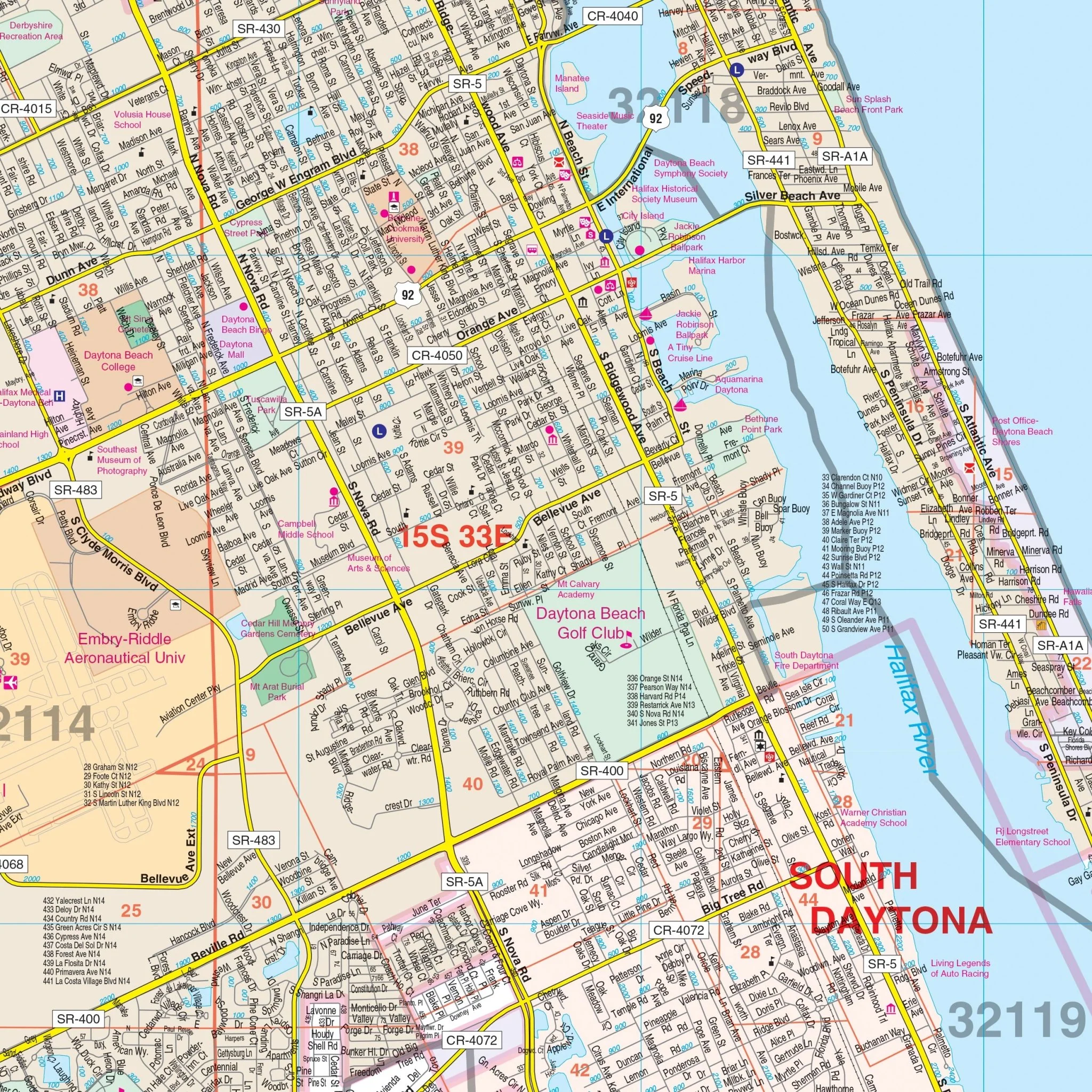
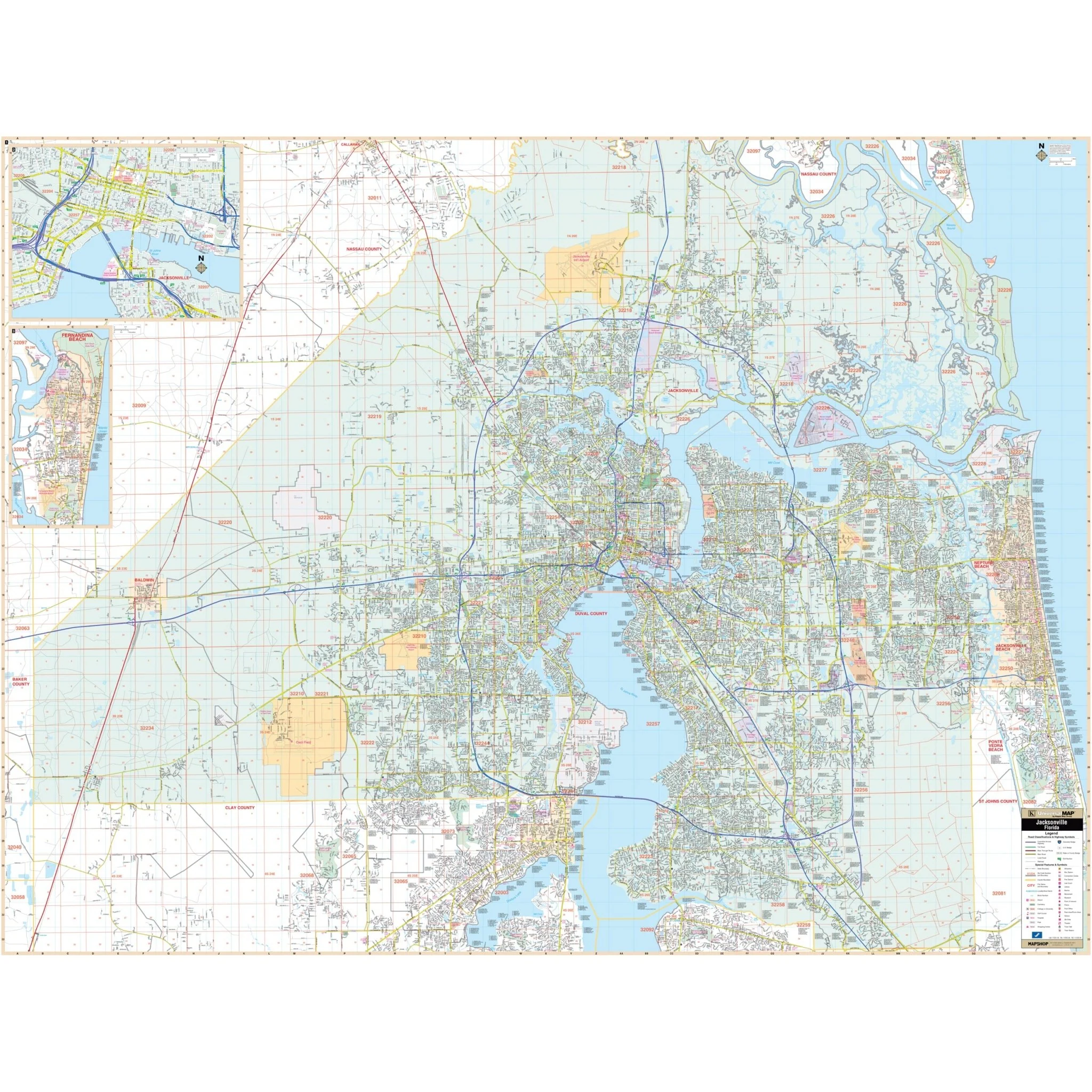
Presenting the Jacksonville and Duval County, FL Wall Map, showcasing up-to-date cartography that includes the latest street information and meticulous attention to complete street detail. This comprehensive map covers the entirety of Jacksonville and Duval County, encompassing the following boundaries:
- To the north, it extends to the Nassau-Duval County line.
- To the south, it includes areas such as Orange Park, Doctor's Inlet, Fruit Cove, and Ponte Vedra in St. John's County.
- To the east, it reaches the beautiful Atlantic Ocean.
- To the west, it stretches to the Baker-Duval County line.
The Jacksonville and Duval County, FL Wall Map also features insets highlighting Fernandina Beach and Downtown Jacksonville.
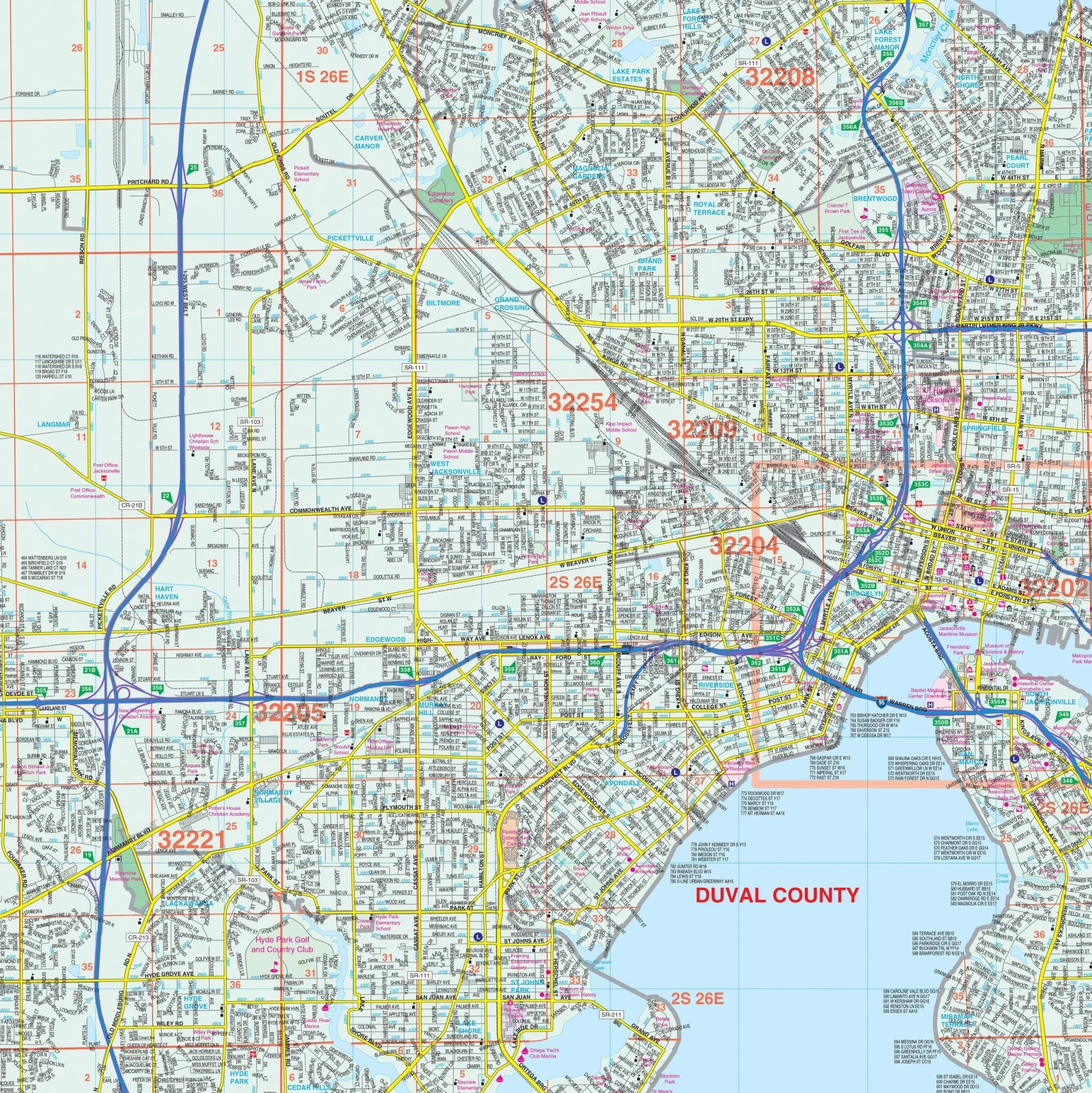
Within this map, you'll find a wealth of essential information, including comprehensive representations of streets, airports, government buildings, post offices, cemeteries, fire and police stations, hospitals, shopping centers, educational institutions, railroads, water features, golf and country clubs, mileage circles, recreational parks, ZIP codes along with their boundaries, and block numbers.
Size: 75.5" x 57"
Published: 2015
Product Information
Product Information
Shipping & Returns
Shipping & Returns
Description
Presenting the Jacksonville and Duval County, FL Wall Map, showcasing up-to-date cartography that includes the latest street information and meticulous attention to complete street detail. This comprehensive map covers the entirety of Jacksonville and Duval County, encompassing the following boundaries:
- To the north, it extends to the Nassau-Duval County line.
- To the south, it includes areas such as Orange Park, Doctor's Inlet, Fruit Cove, and Ponte Vedra in St. John's County.
- To the east, it reaches the beautiful Atlantic Ocean.
- To the west, it stretches to the Baker-Duval County line.
The Jacksonville and Duval County, FL Wall Map also features insets highlighting Fernandina Beach and Downtown Jacksonville.
Within this map, you'll find a wealth of essential information, including comprehensive representations of streets, airports, government buildings, post offices, cemeteries, fire and police stations, hospitals, shopping centers, educational institutions, railroads, water features, golf and country clubs, mileage circles, recreational parks, ZIP codes along with their boundaries, and block numbers.
Size: 75.5" x 57"
Published: 2015