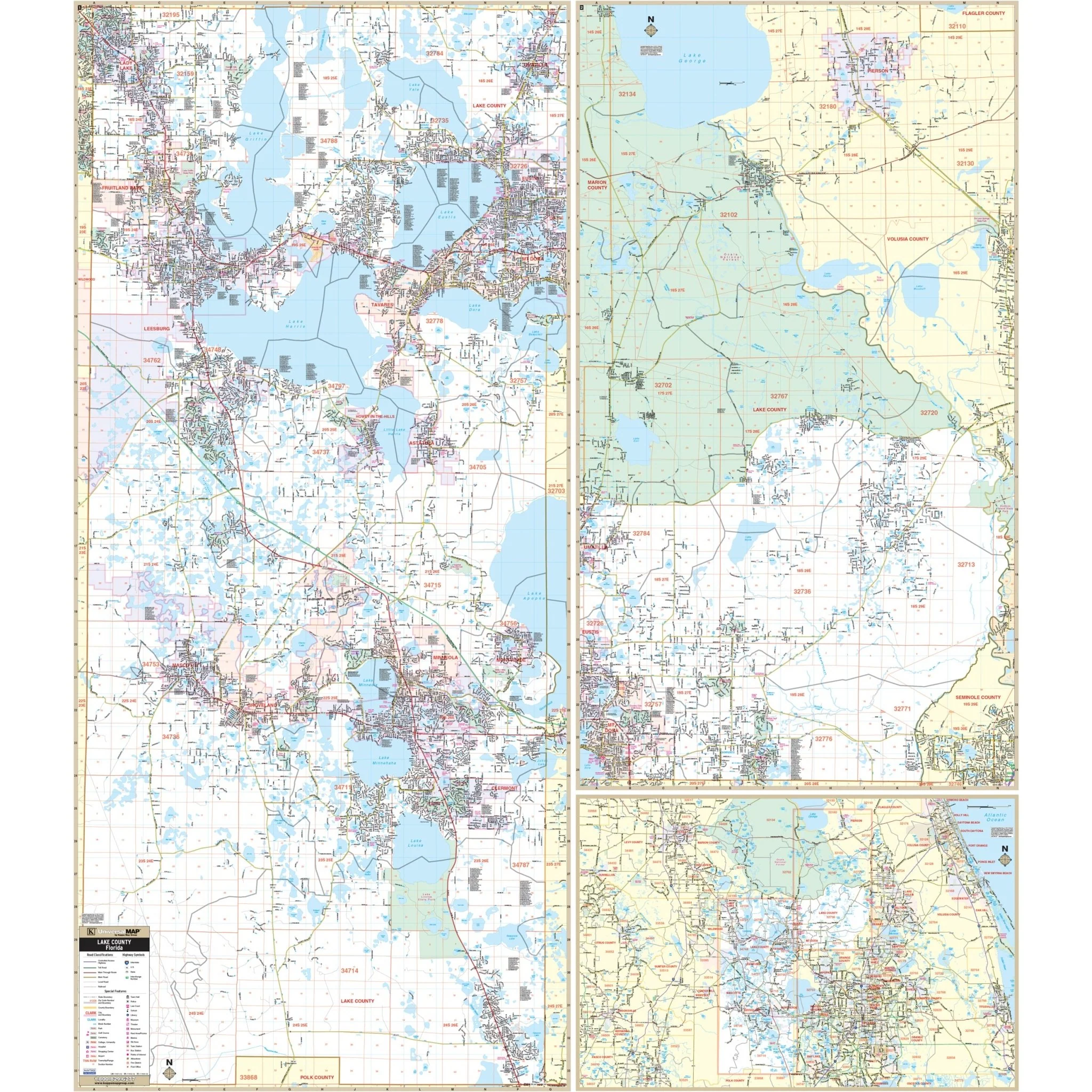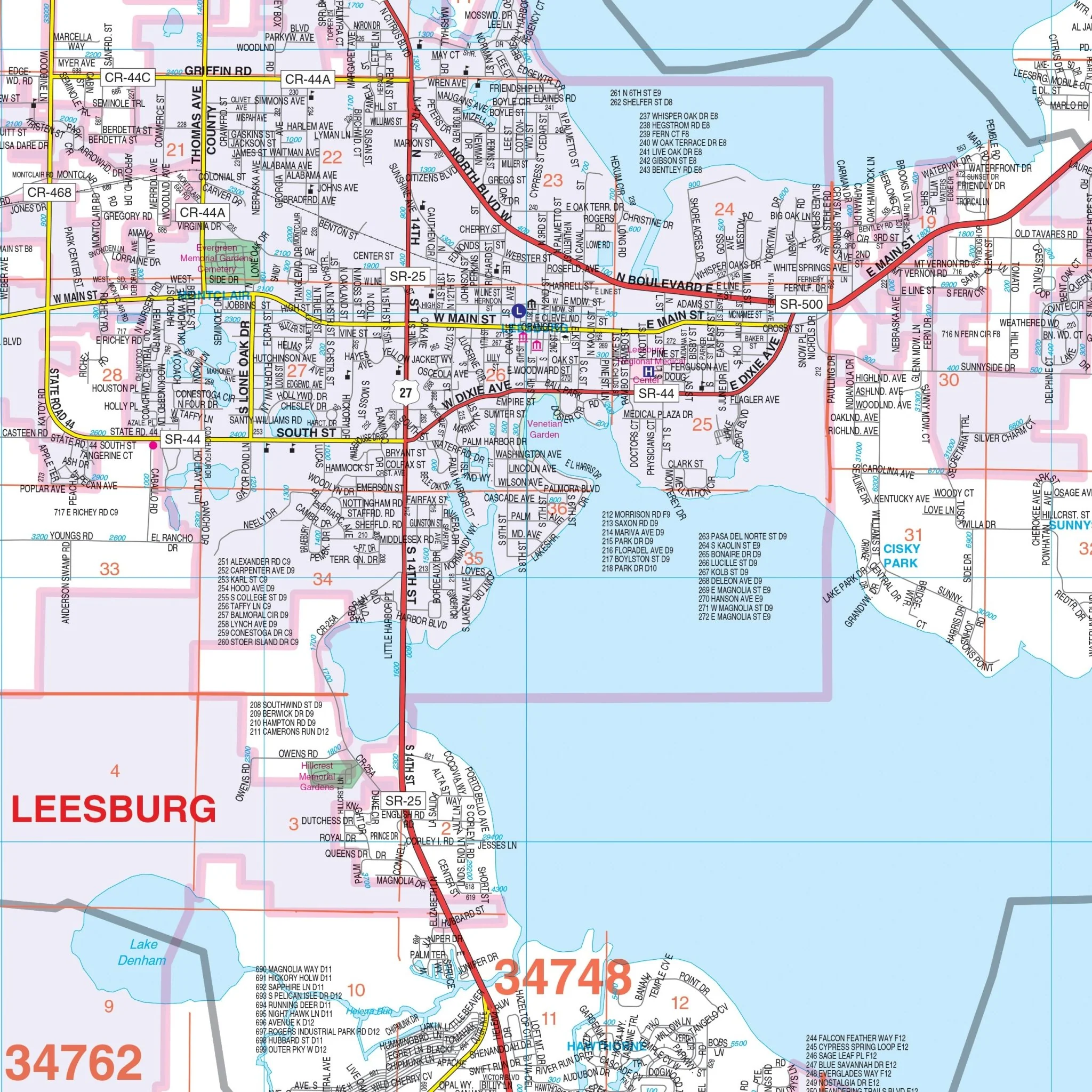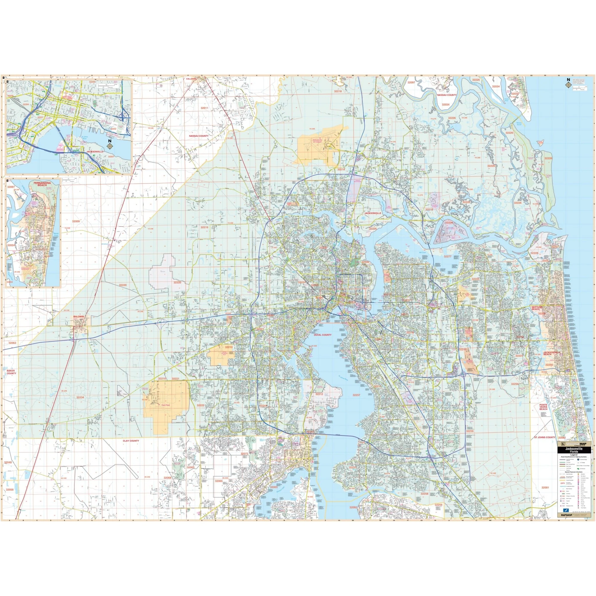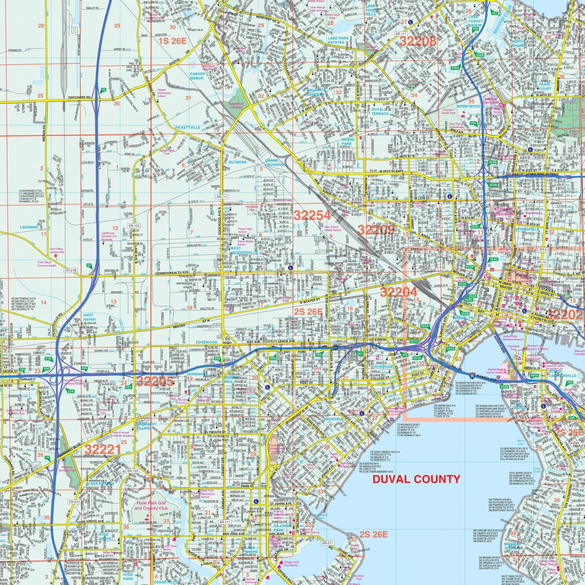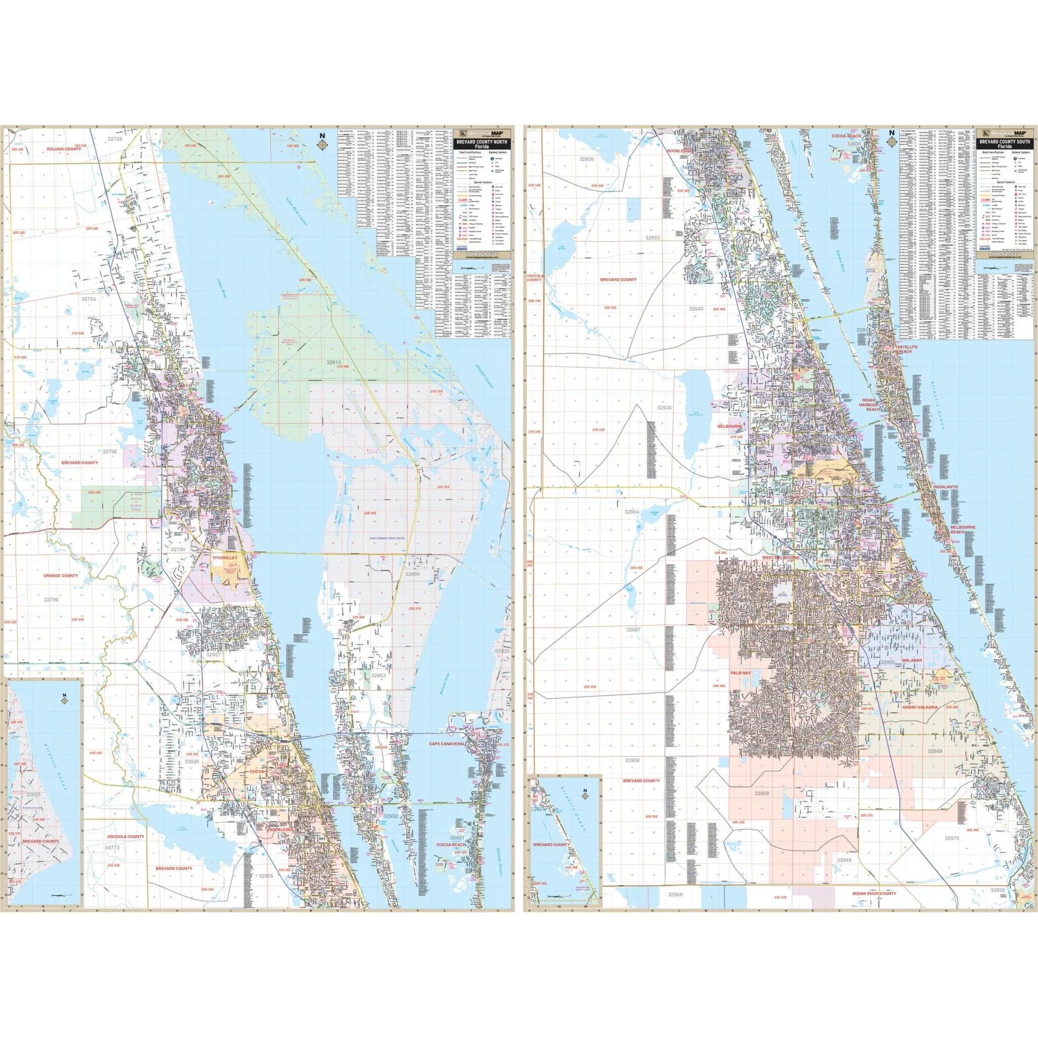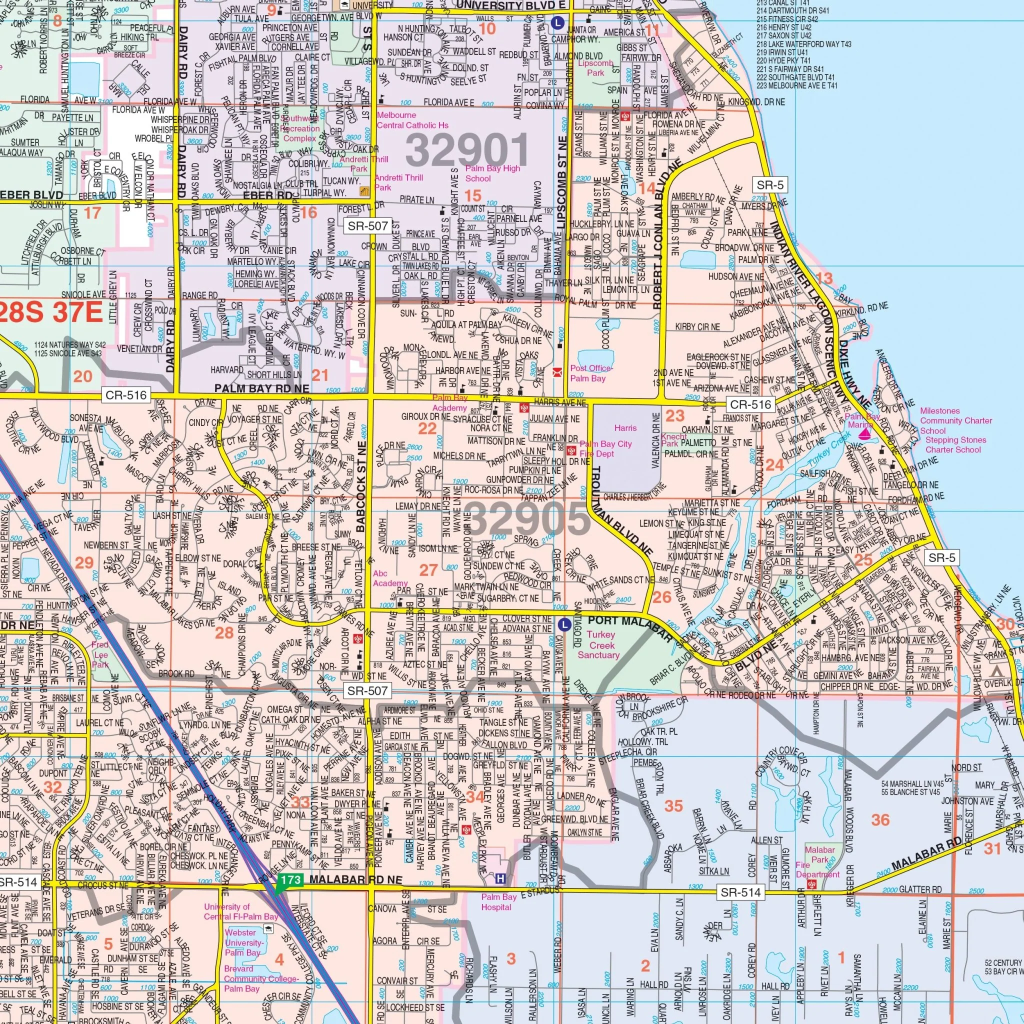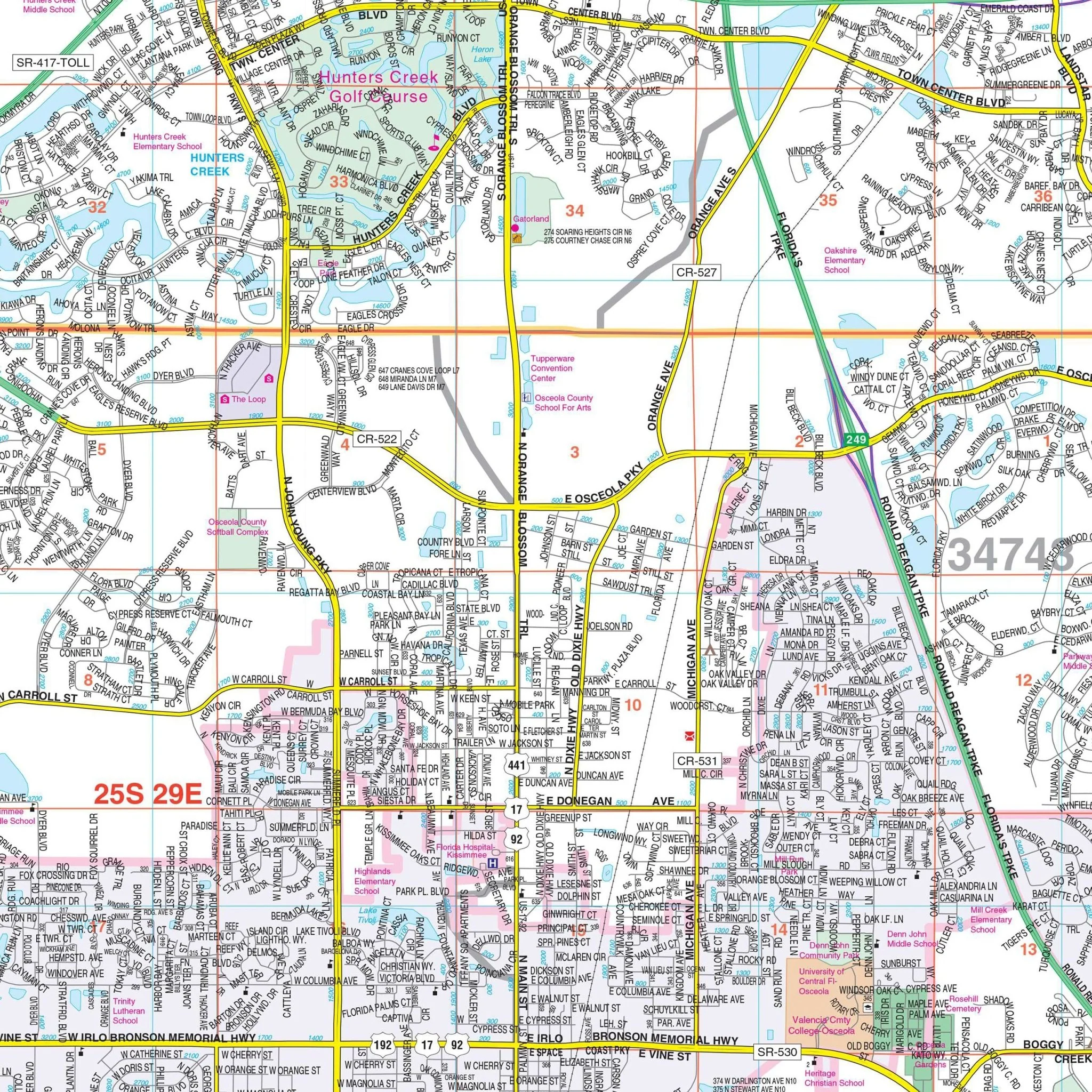


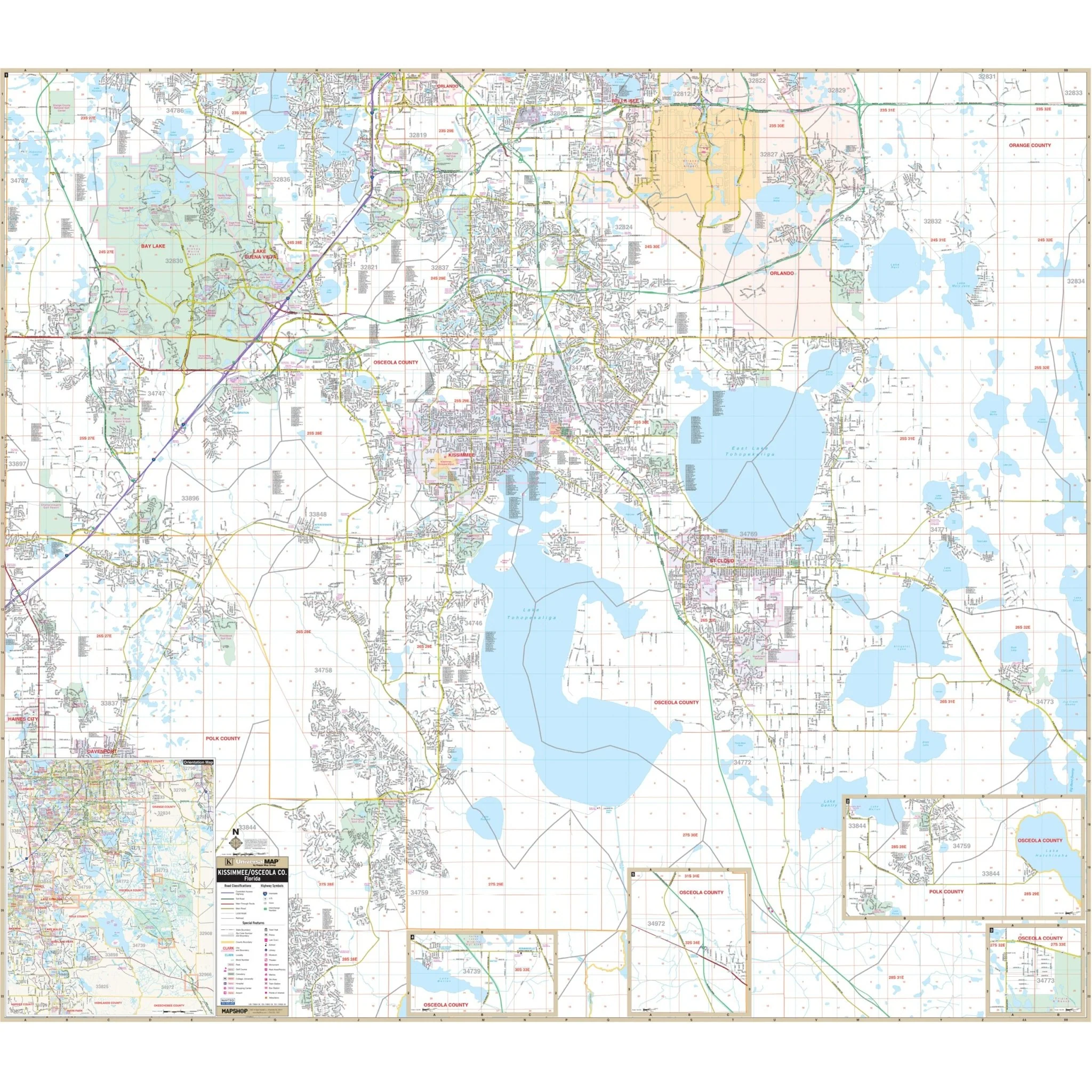
Kissimmee & Osceola County, FL Wall Map
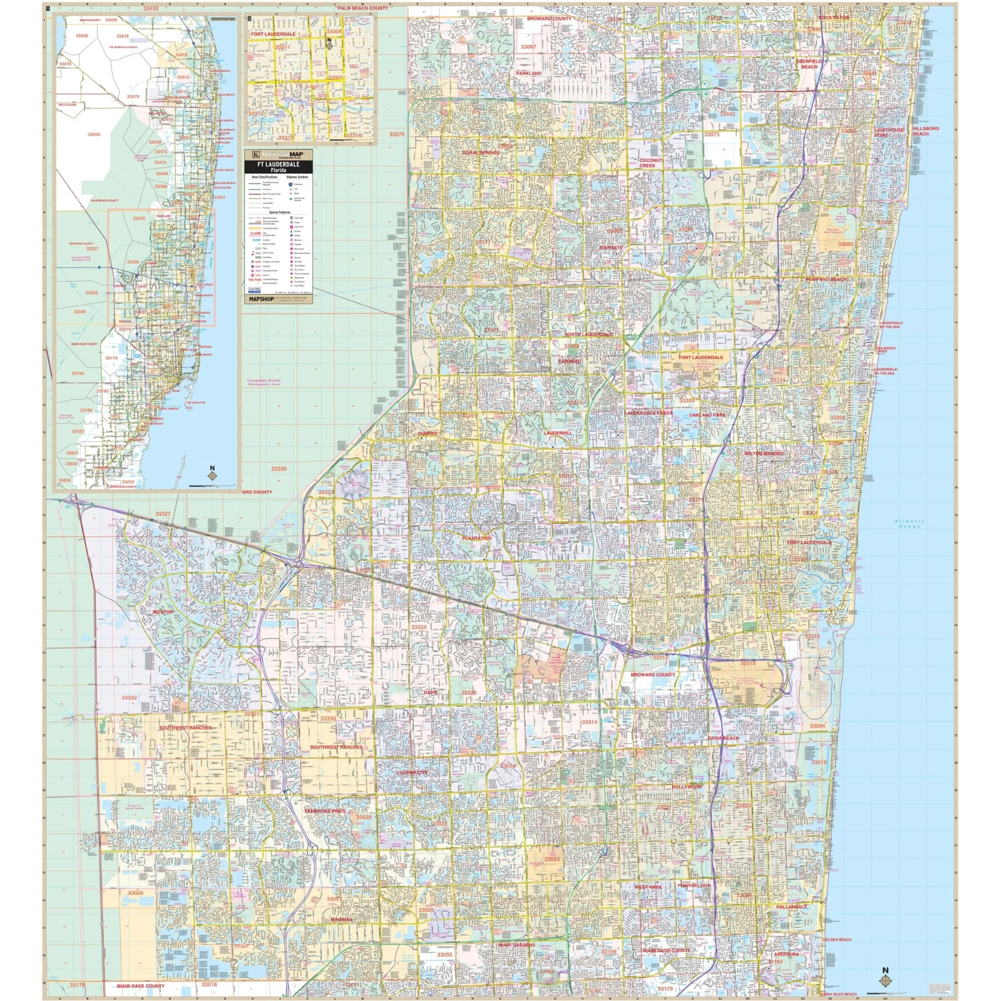
Discover the Osceola County and Kissimmee, FL Wall Map, a valuable resource offering complete street-level detail and insights into this dynamic region.
This map covers a broad area with the following boundaries:
- North: Extending to Sand Lake Road, the Bee Line Expressway, Walt Disney World, and Orlando International Airport.
- South: Encompassing Poinciana and the Polk County area.
- East: Reaching to Pine Grove and Harmony Golf Preserve.
- West: Extending to the Osceola County line, including Loughman and Exit #23 on I-4 in Polk County.
This comprehensive map also includes insets of Holopaw, Lake Marian Highlands, Yeehaw Junction, and the remainder of Osceola County, providing detailed information for various localities.
Key details and features presented on this map encompass airports, block numbers, cemeteries, city limits, educational institutions, golf and country clubs, government buildings, hospitals, libraries, points of interest, police stations, railroads, recreational parks, section/township/range numbers and lines, shopping centers, streets and highways, subdivisions, water features, and ZIP code boundaries.
Whether you're a resident, visitor, or business professional in this area, this map serves as an indispensable tool for navigation and gaining a comprehensive understanding of Osceola County and Kissimmee, FL, along with their surroundings.
Size: 64.75" x 57"
Published: 2014
Product Information
Product Information
Shipping & Returns
Shipping & Returns
Description
Discover the Osceola County and Kissimmee, FL Wall Map, a valuable resource offering complete street-level detail and insights into this dynamic region.
This map covers a broad area with the following boundaries:
- North: Extending to Sand Lake Road, the Bee Line Expressway, Walt Disney World, and Orlando International Airport.
- South: Encompassing Poinciana and the Polk County area.
- East: Reaching to Pine Grove and Harmony Golf Preserve.
- West: Extending to the Osceola County line, including Loughman and Exit #23 on I-4 in Polk County.
This comprehensive map also includes insets of Holopaw, Lake Marian Highlands, Yeehaw Junction, and the remainder of Osceola County, providing detailed information for various localities.
Key details and features presented on this map encompass airports, block numbers, cemeteries, city limits, educational institutions, golf and country clubs, government buildings, hospitals, libraries, points of interest, police stations, railroads, recreational parks, section/township/range numbers and lines, shopping centers, streets and highways, subdivisions, water features, and ZIP code boundaries.
Whether you're a resident, visitor, or business professional in this area, this map serves as an indispensable tool for navigation and gaining a comprehensive understanding of Osceola County and Kissimmee, FL, along with their surroundings.
Size: 64.75" x 57"
Published: 2014