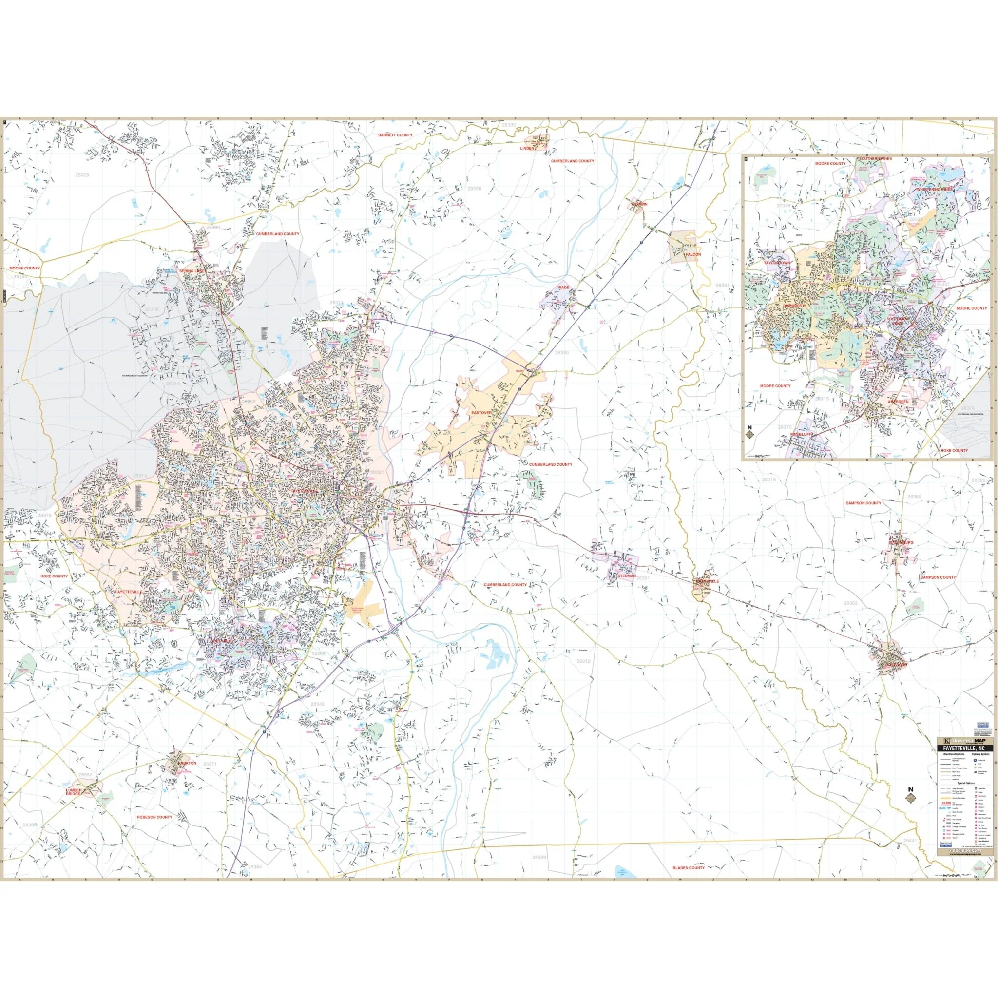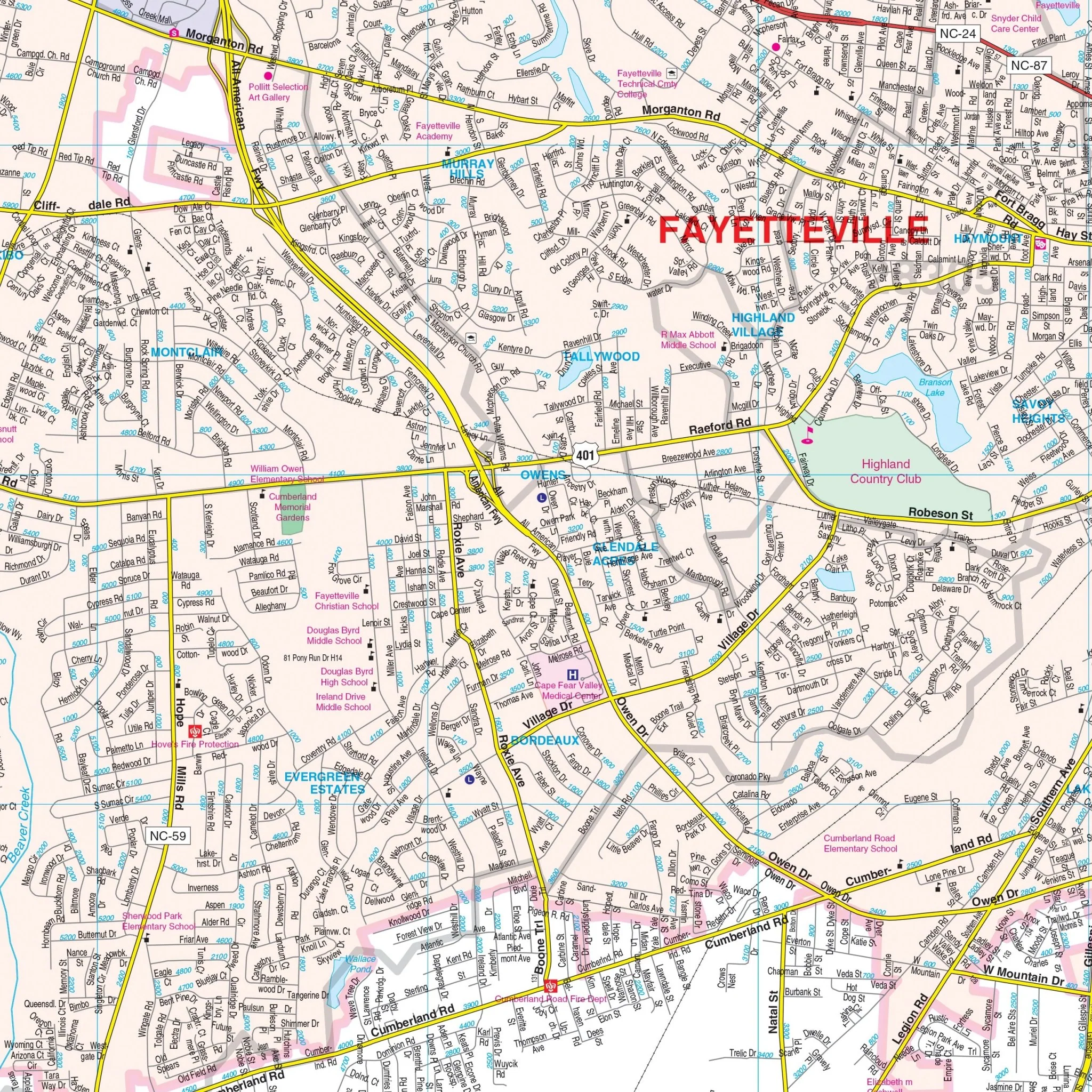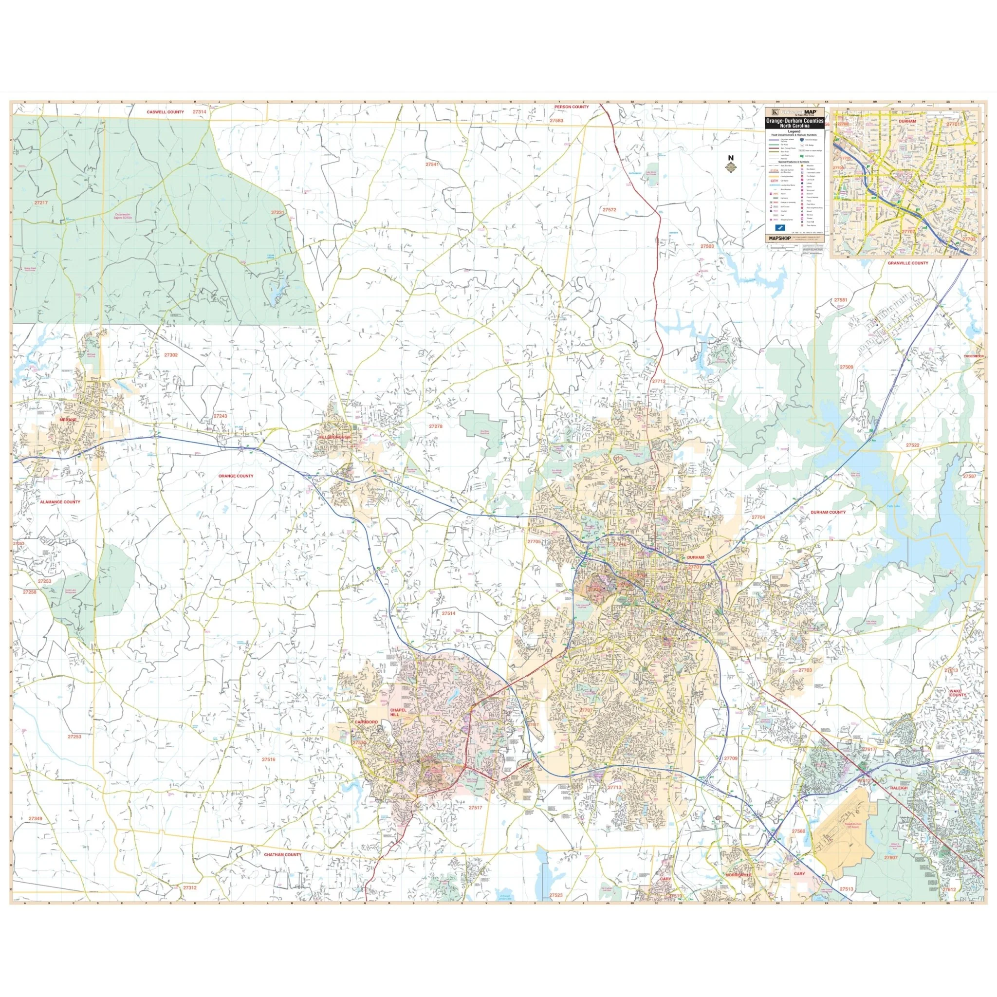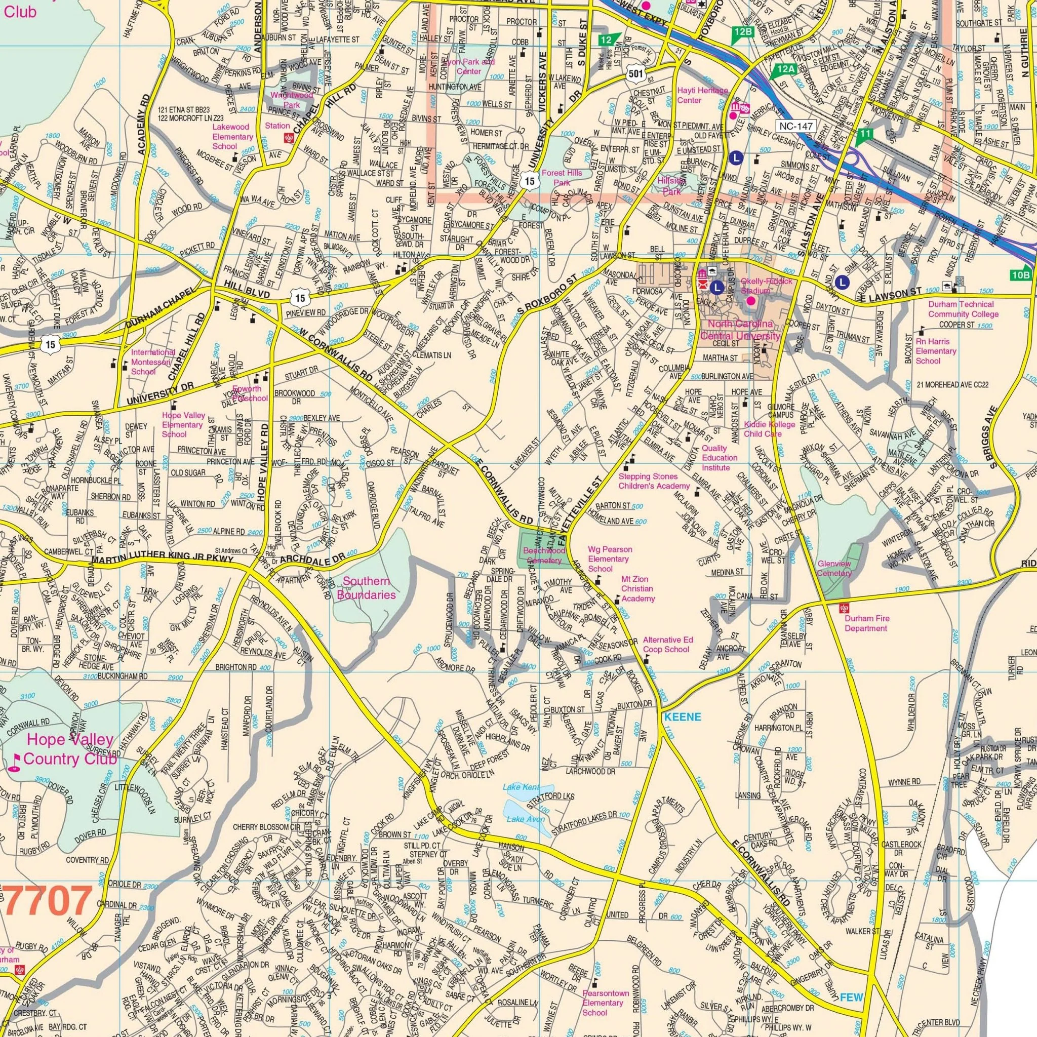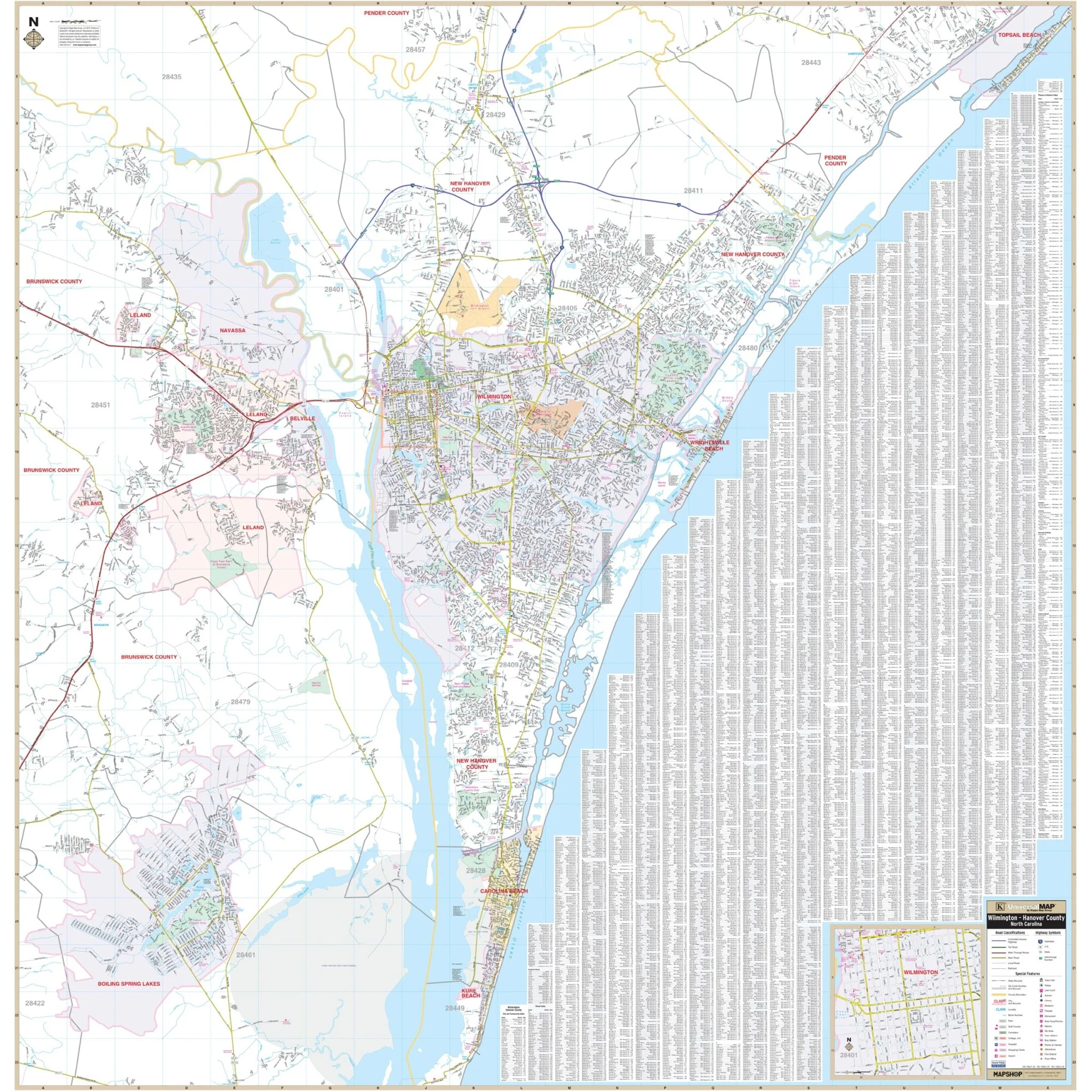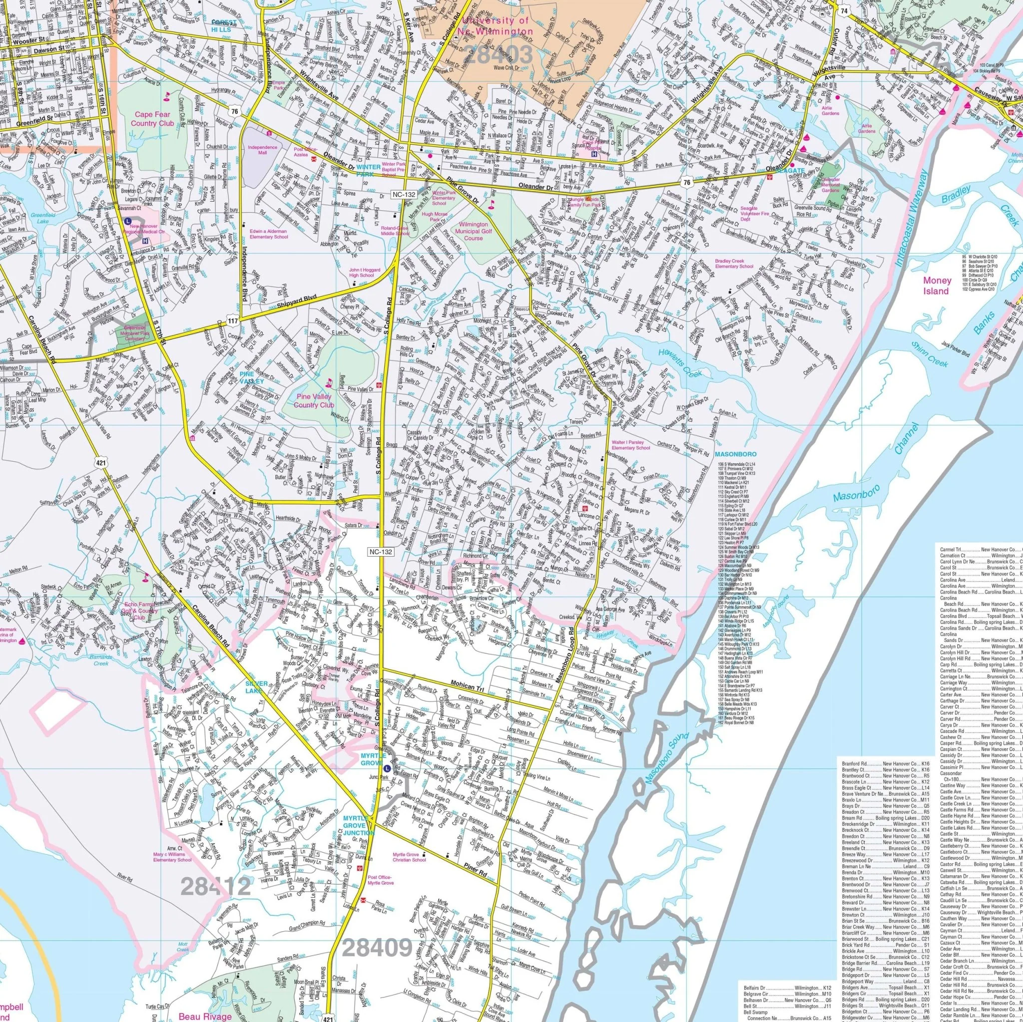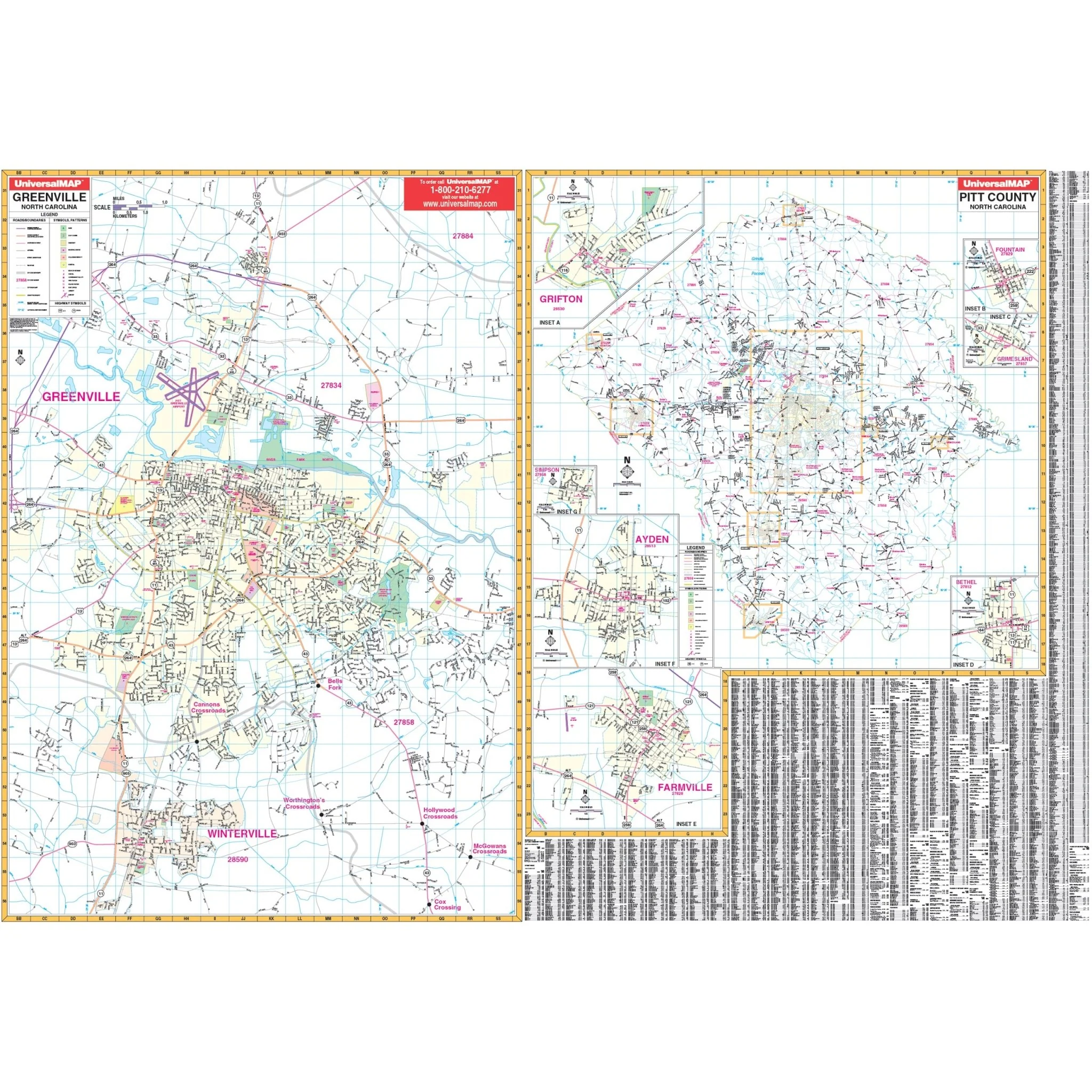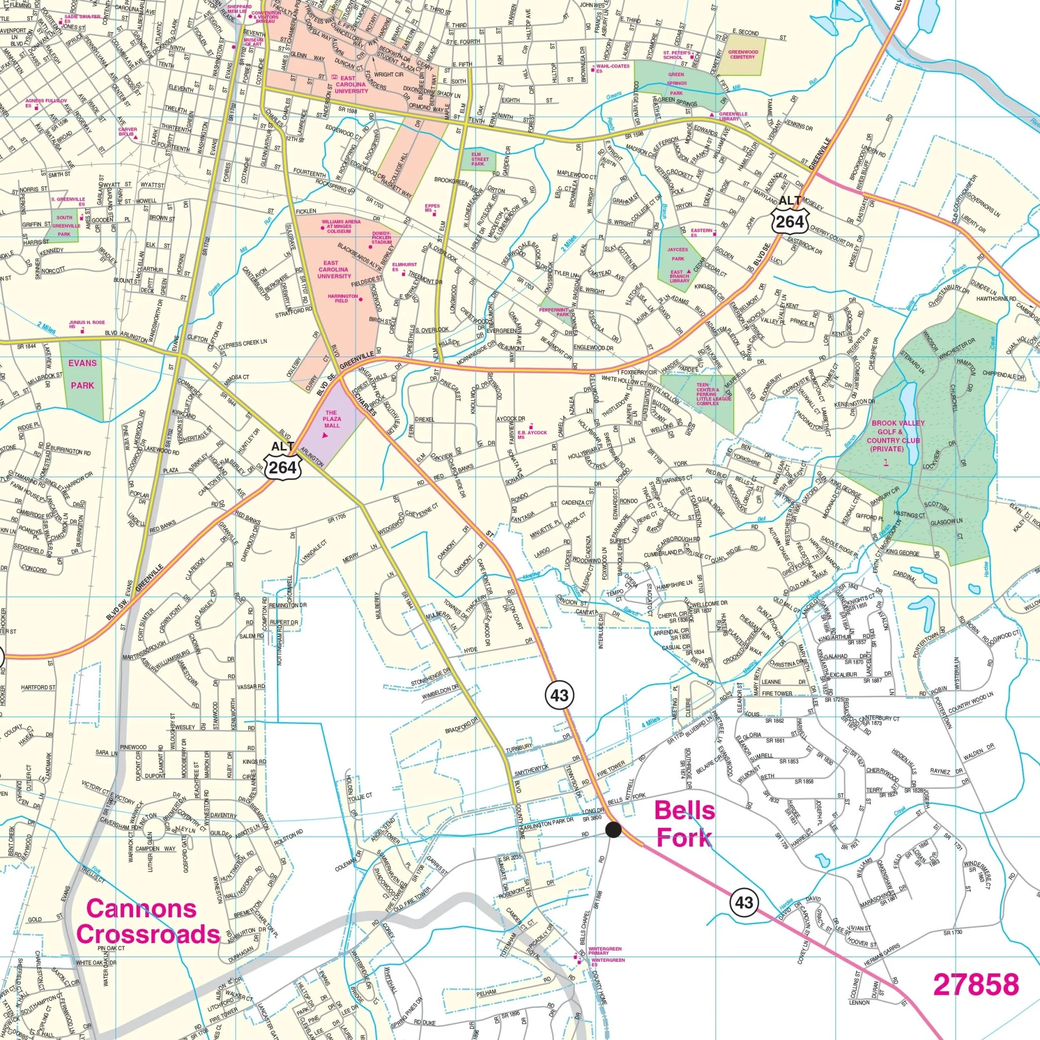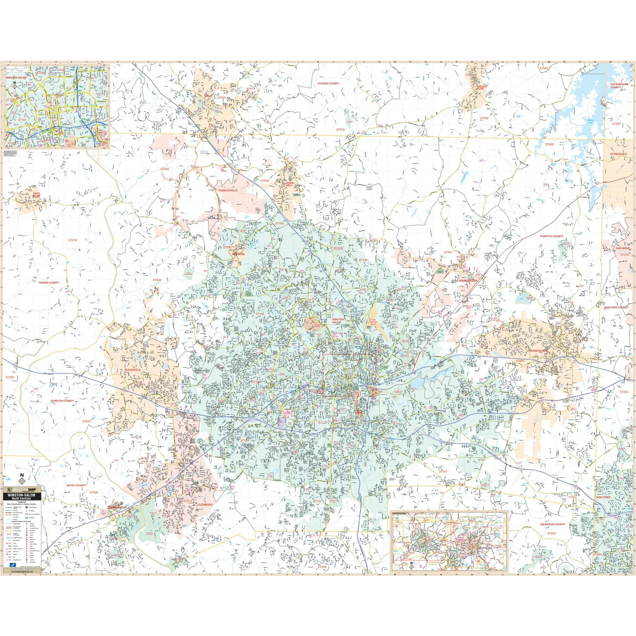
Greensboro, High Point, & Guilford County, NC Wall Map
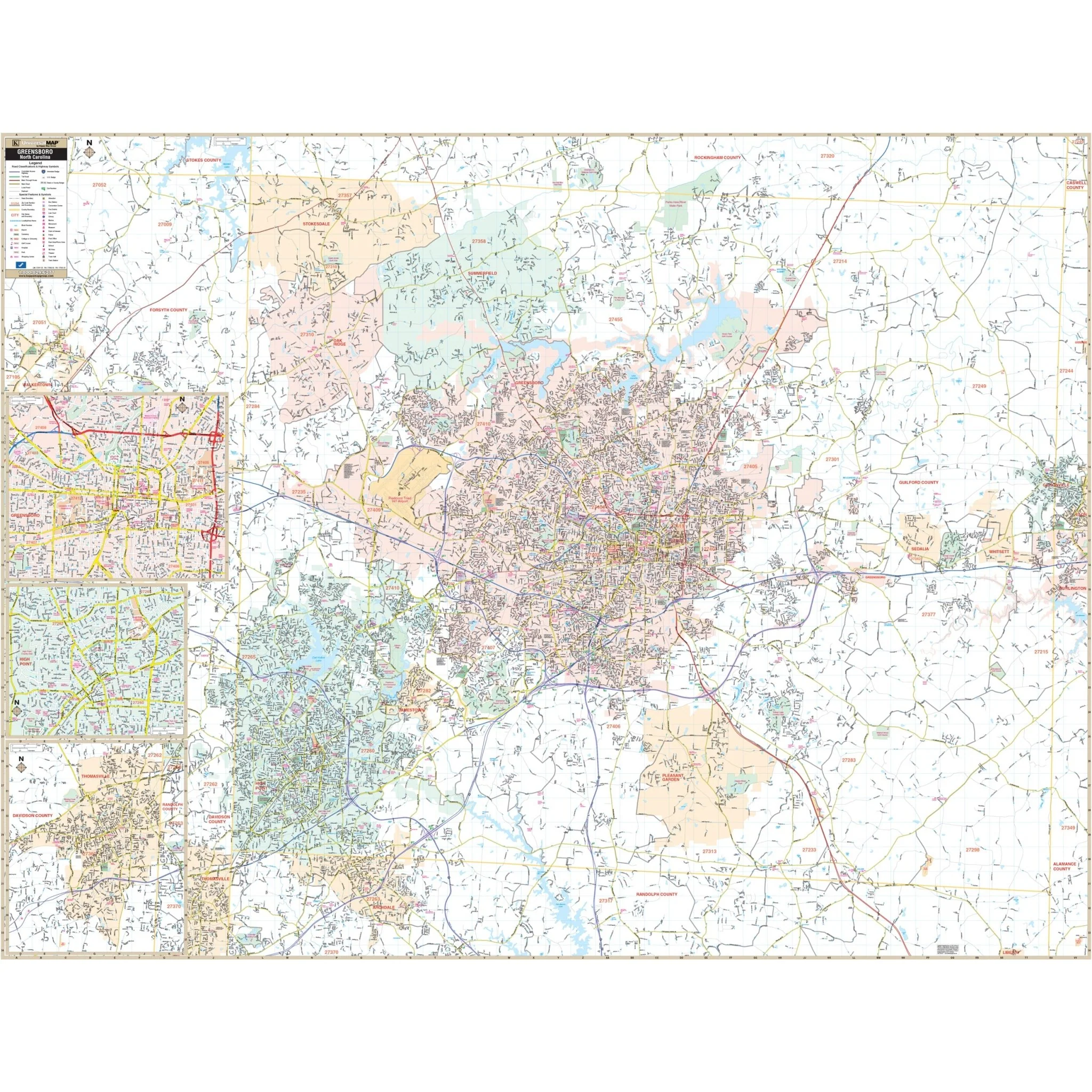
The Greensboro, High Point, & Guilford Co, NC Wall Map, with adjacent areas, offers complete street detail at a specific scale. The area of coverage includes all of Guilford County, with the following boundaries:
- North to the Rockingham County line
- South to the Randolph County line
- East to the Alamance County line
- West to the Forsyth County line
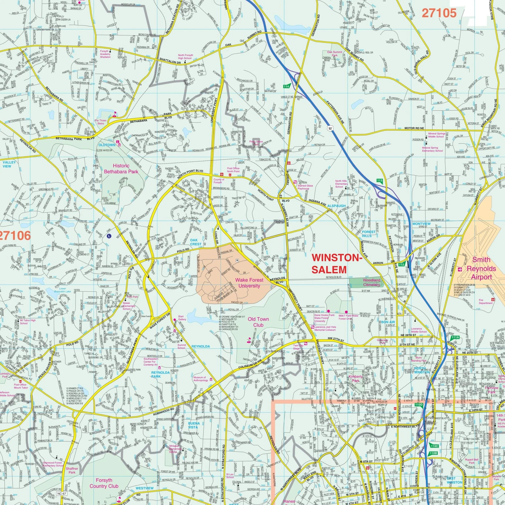
The Greensboro, High Point, & Guilford Co, NC Wall Map also includes inset maps of Thomasville in Davidson County, Downtown High Point, and Downtown Greensboro.
Details and features on the map encompass airports, block numbers, cemeteries, city limits, educational institutions, golf and country clubs, government buildings, hospitals, libraries, points of interest, police stations, post offices, railroads, recreational parks, shopping centers, streets and highways, water features, and ZIP code boundaries.
Size: 74.75" x 57"
Published: 2015
Original: $149.99
-70%$149.99
$45.00Product Information
Product Information
Shipping & Returns
Shipping & Returns
Description
The Greensboro, High Point, & Guilford Co, NC Wall Map, with adjacent areas, offers complete street detail at a specific scale. The area of coverage includes all of Guilford County, with the following boundaries:
- North to the Rockingham County line
- South to the Randolph County line
- East to the Alamance County line
- West to the Forsyth County line
The Greensboro, High Point, & Guilford Co, NC Wall Map also includes inset maps of Thomasville in Davidson County, Downtown High Point, and Downtown Greensboro.
Details and features on the map encompass airports, block numbers, cemeteries, city limits, educational institutions, golf and country clubs, government buildings, hospitals, libraries, points of interest, police stations, post offices, railroads, recreational parks, shopping centers, streets and highways, water features, and ZIP code boundaries.
Size: 74.75" x 57"
Published: 2015