


Hickory, NC Wall Map
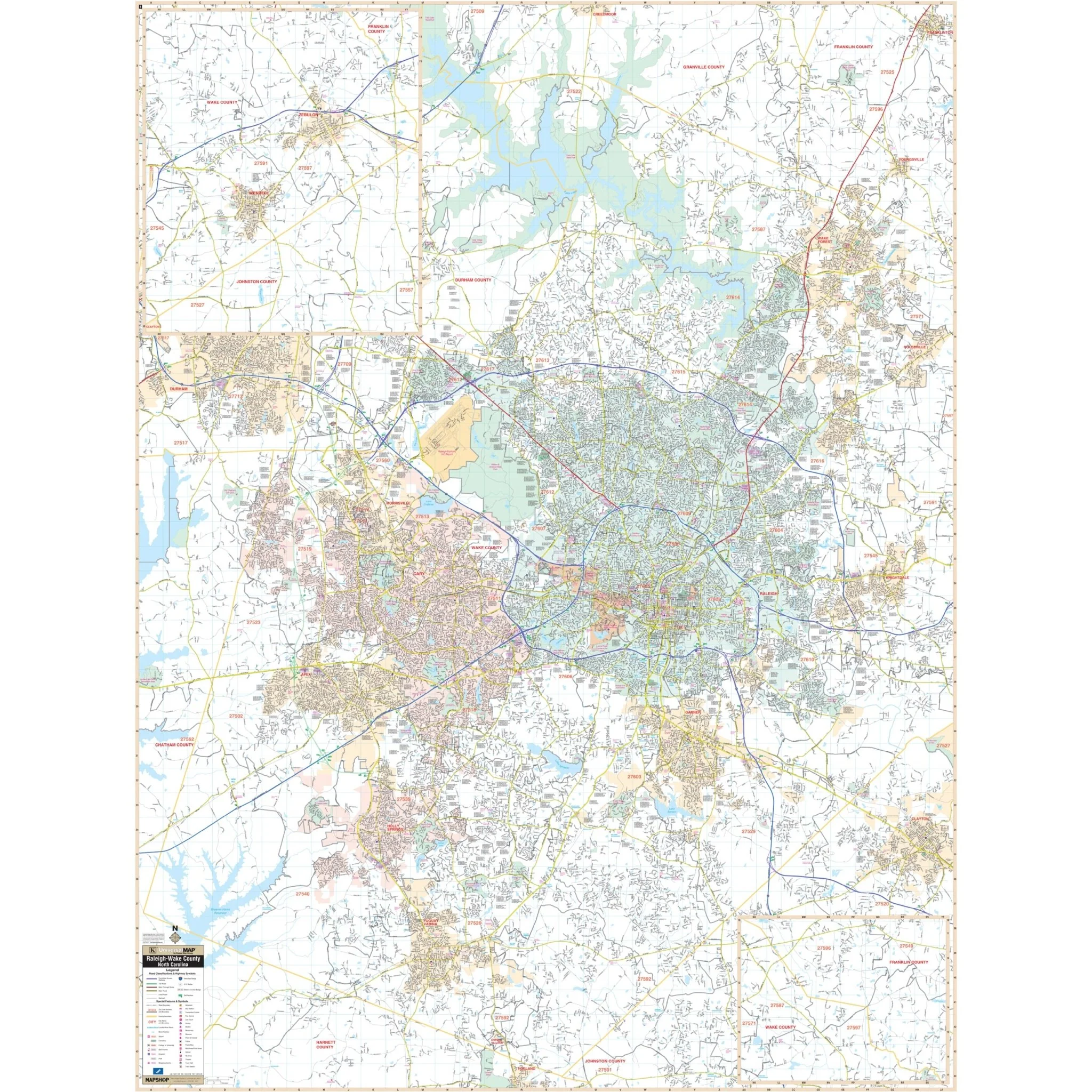
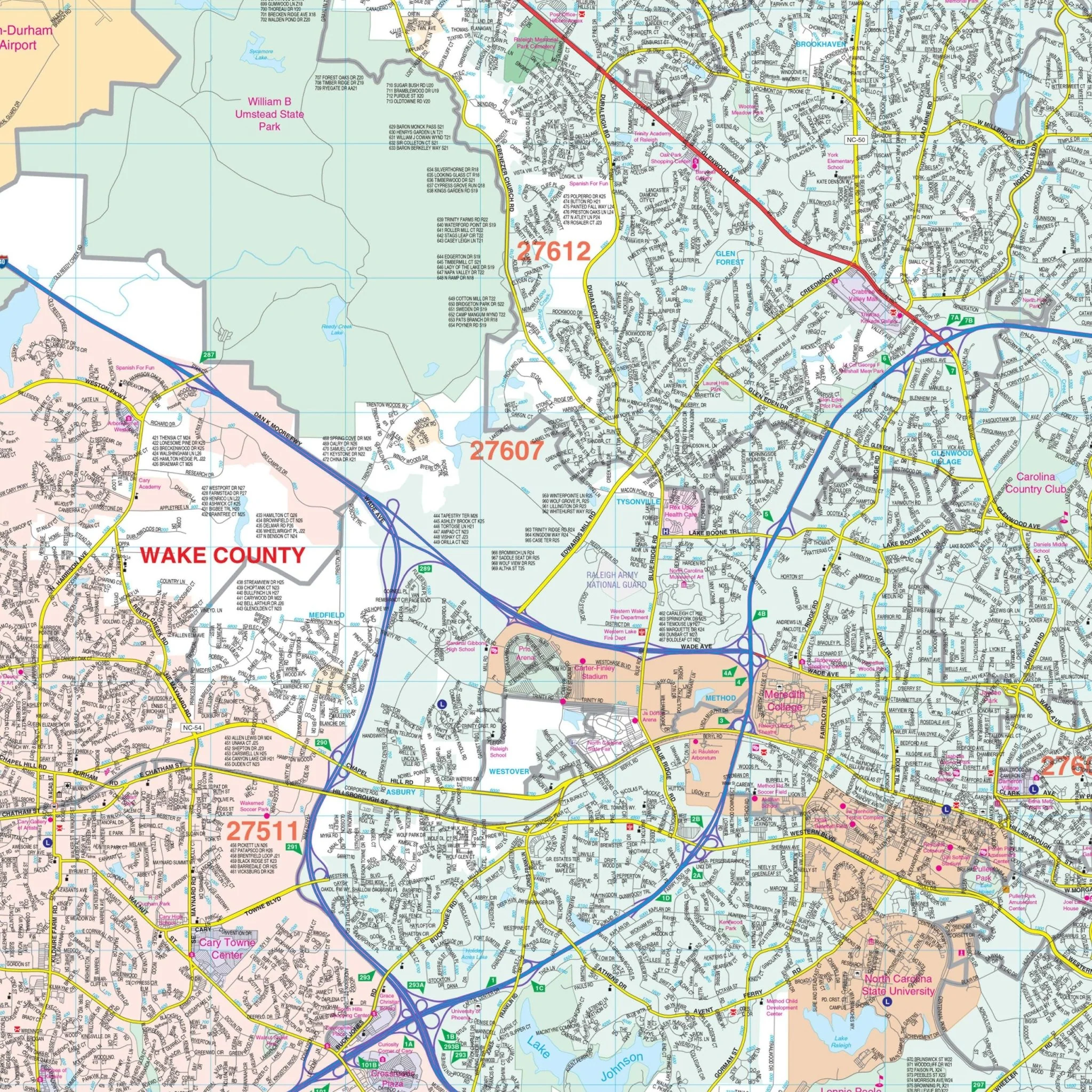
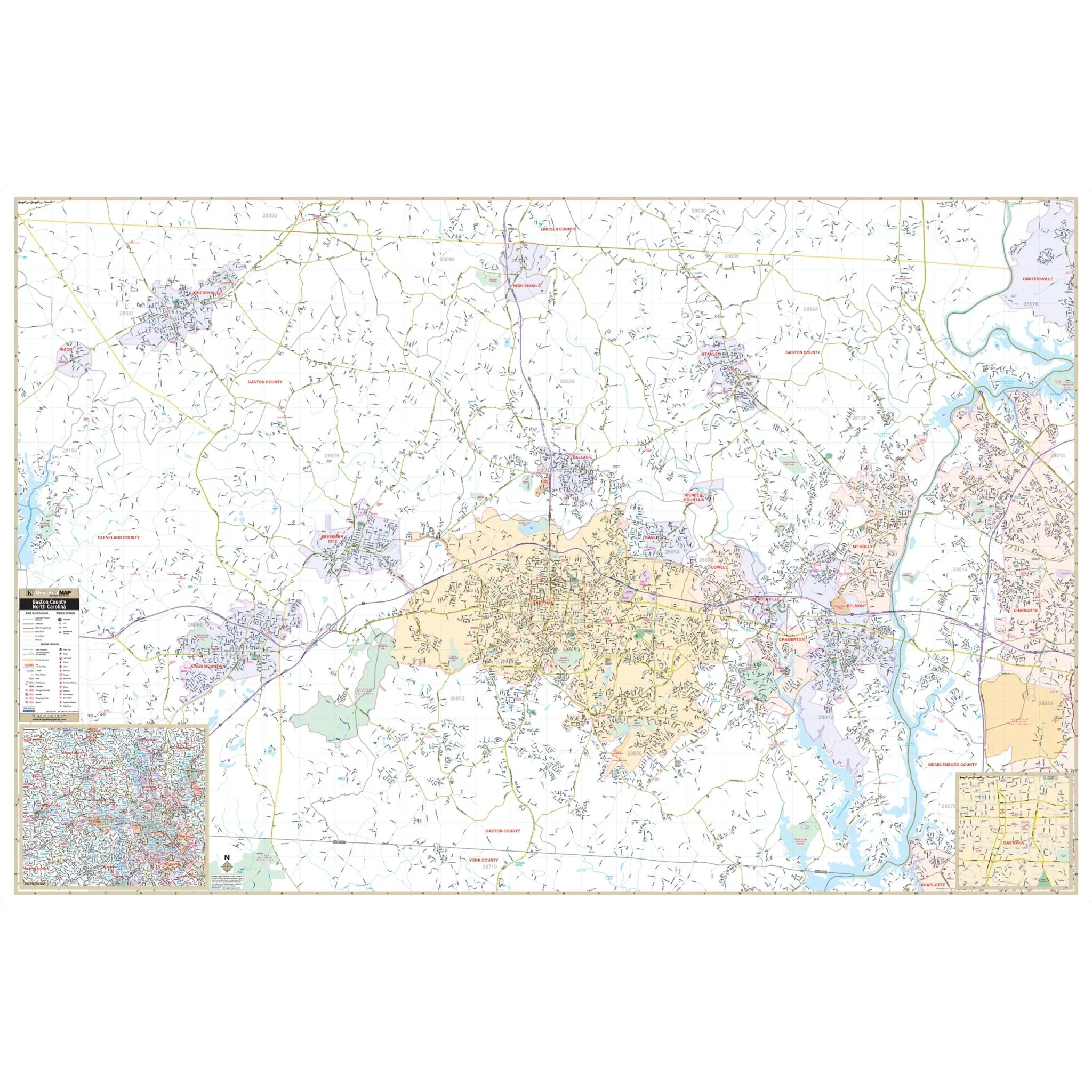
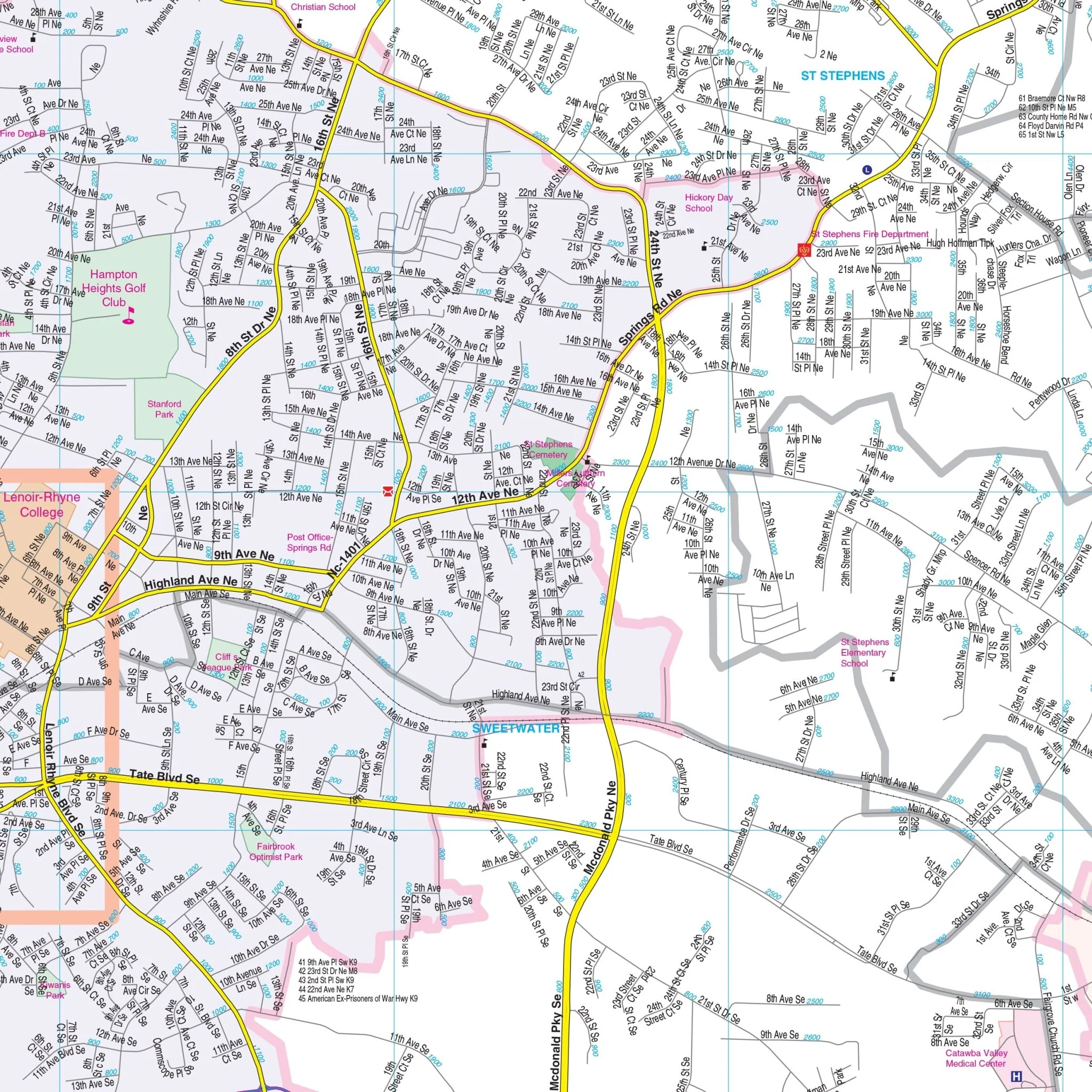
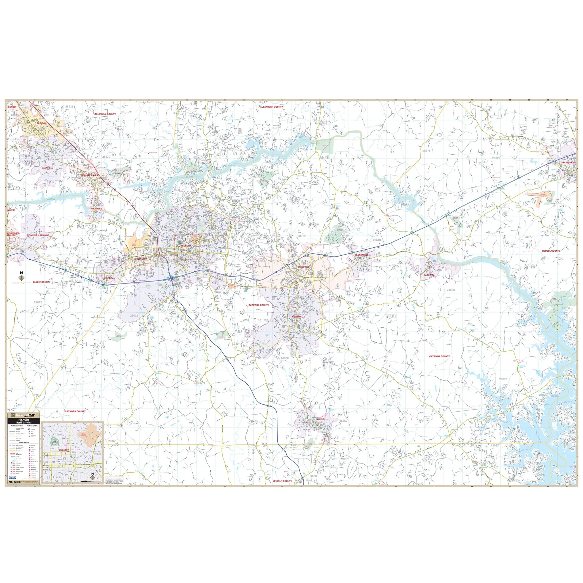
The Hickory/Catawba County, NC Wall Map, with adjacent areas, provides complete street detail. The area of coverage includes all of Catawba County, as well as the following boundaries:
- North past the Alexander County line, to Hudson, in Caldwell County
- South past the Lincoln County line, to the intersection of US 321 and Maiden Hwy
- East to Statesville and the Catawba County line
- West to Connelly Springs, in Burke County, and the Catawba County line
Details and features on the map encompass airports, block numbers, cemeteries, city limits (color-coded), community names, educational institutions, golf and country clubs, government buildings, hospitals, libraries, points of interest, railroads, recreational parks, shopping centers, streets and highways, water features, and ZIP code boundaries.
Size: 78" x 53"
Published: 2012
Original: $149.99
-70%$149.99
$45.00Product Information
Product Information
Shipping & Returns
Shipping & Returns
Description
The Hickory/Catawba County, NC Wall Map, with adjacent areas, provides complete street detail. The area of coverage includes all of Catawba County, as well as the following boundaries:
- North past the Alexander County line, to Hudson, in Caldwell County
- South past the Lincoln County line, to the intersection of US 321 and Maiden Hwy
- East to Statesville and the Catawba County line
- West to Connelly Springs, in Burke County, and the Catawba County line
Details and features on the map encompass airports, block numbers, cemeteries, city limits (color-coded), community names, educational institutions, golf and country clubs, government buildings, hospitals, libraries, points of interest, railroads, recreational parks, shopping centers, streets and highways, water features, and ZIP code boundaries.
Size: 78" x 53"
Published: 2012