


Hot Springs & Garland County, AR Wall Map
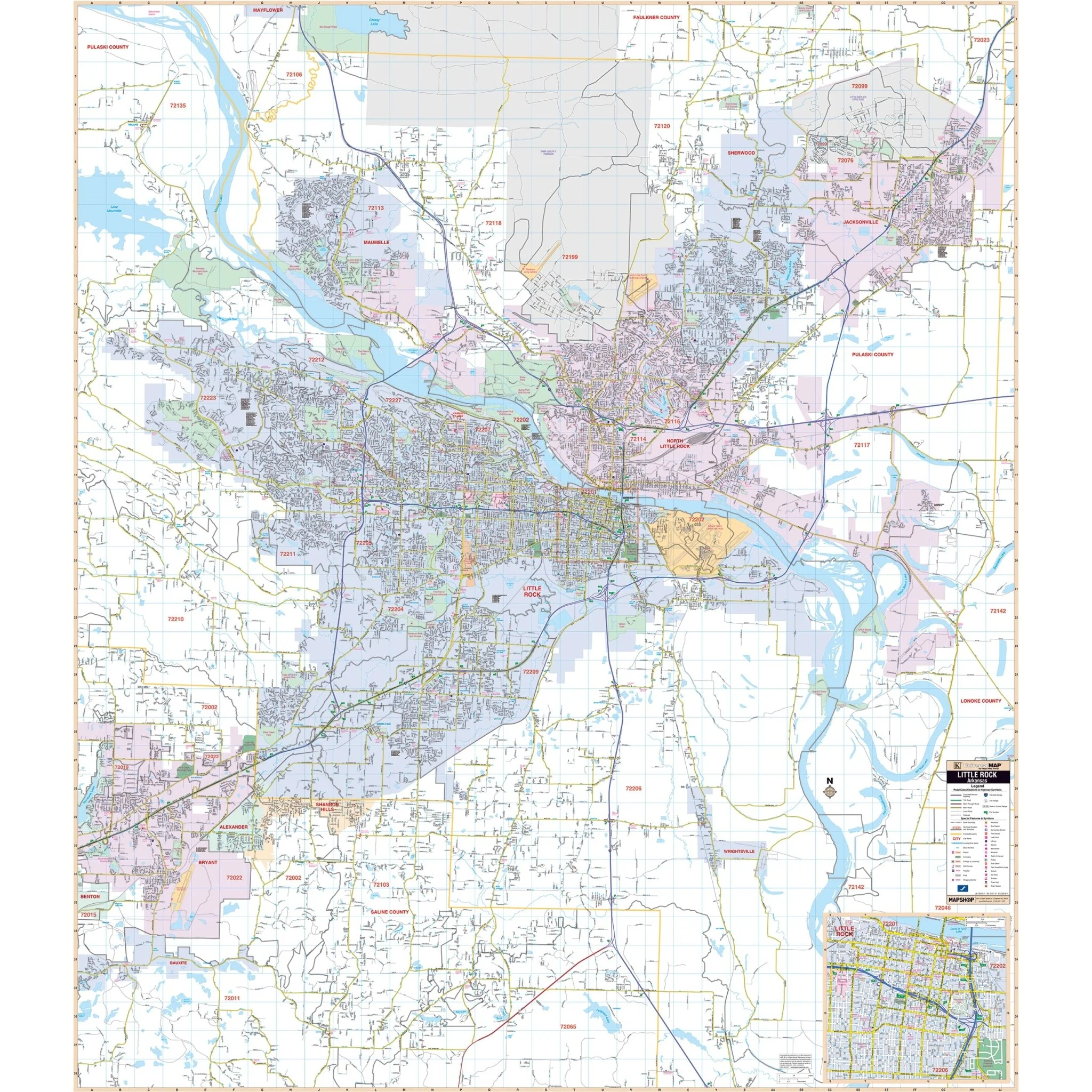
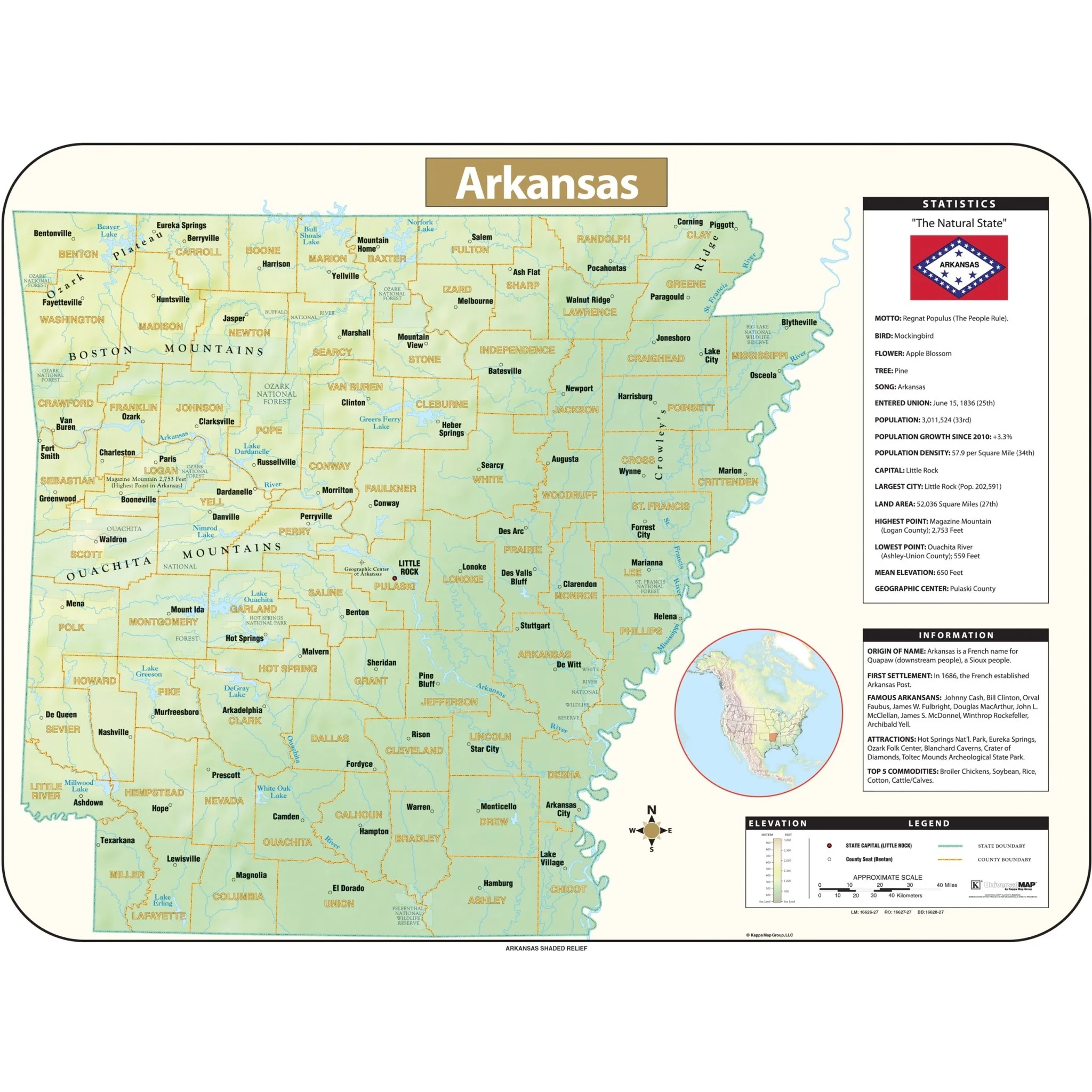
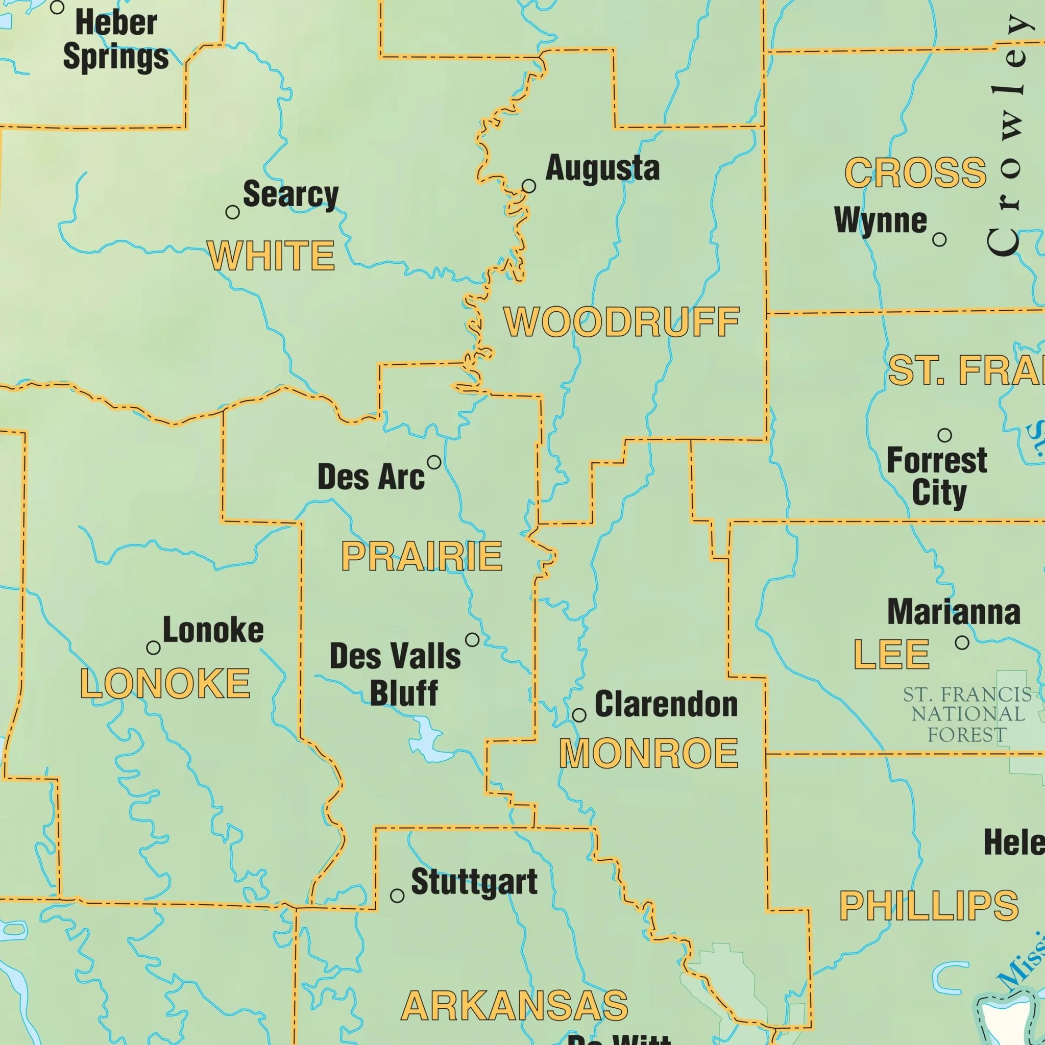
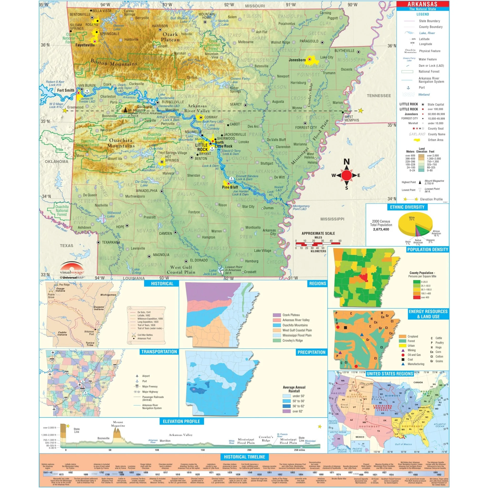
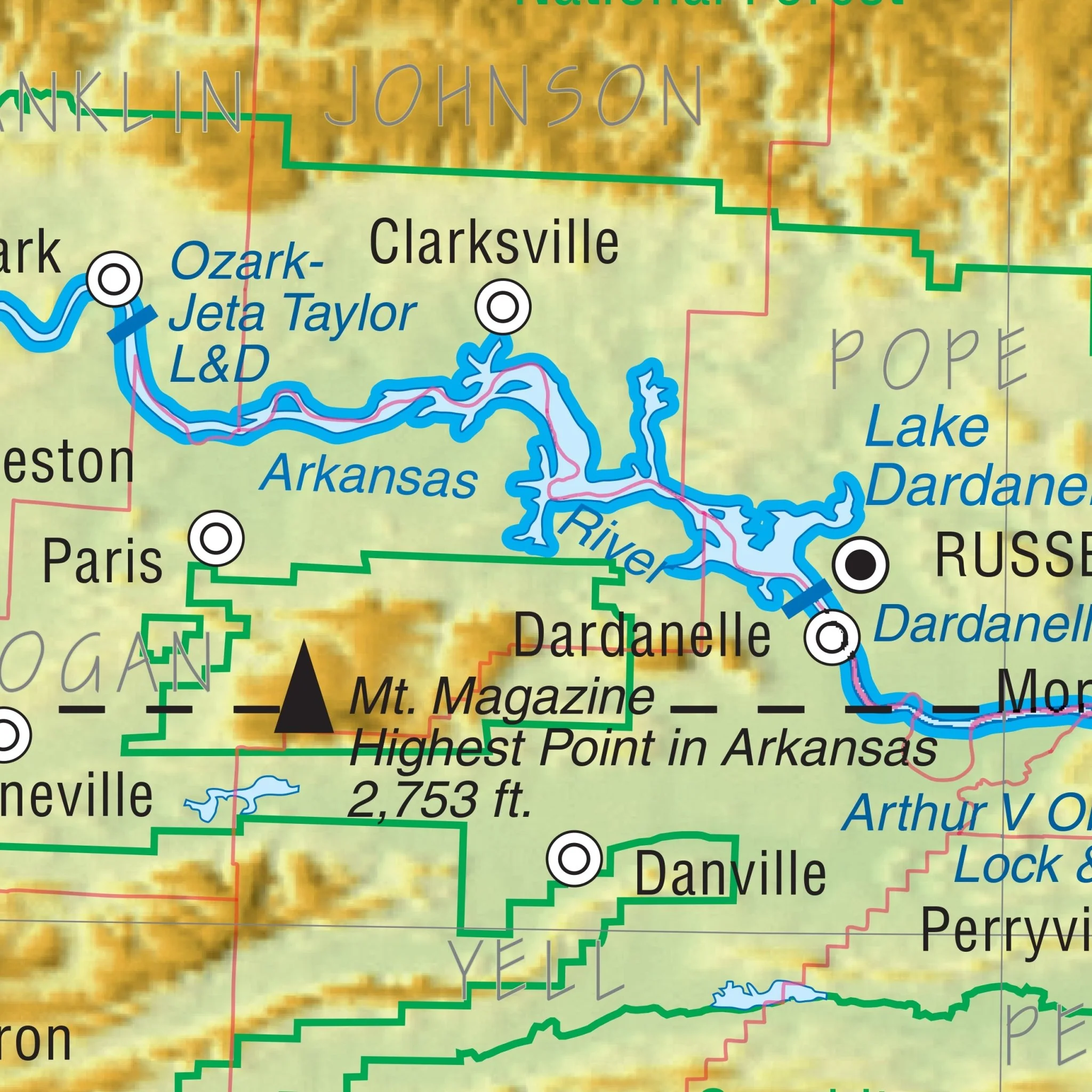
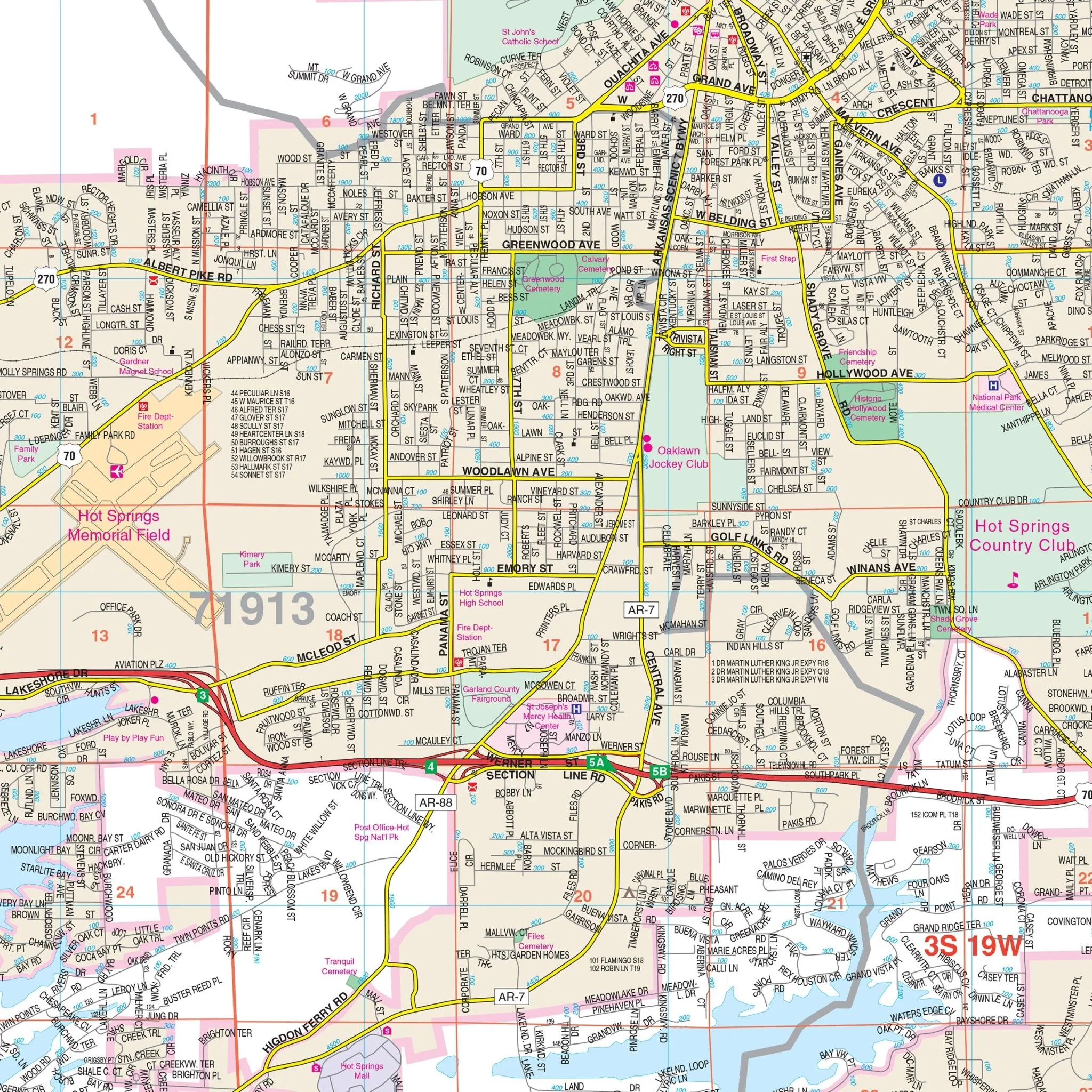
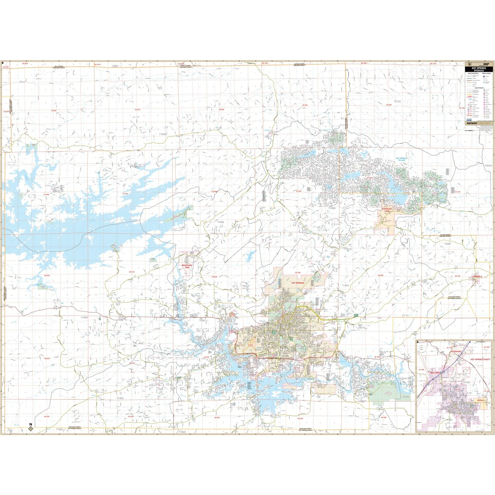
The Hot Springs & Garland Co., AR Wall Map by Kappa Map Group provides complete street detail. It encompasses Garland County, Hot Springs Village, Rockport, and Malvern within specified boundaries:
- To the North, it extends to the Garland / Perry County Line.
- To the South, it includes the Garland / Hot Springs County Line.
- In the East, it covers all of Lonsdale and extends to the Garland / Saline County Line.
- To the West, it reaches the Garland / Montgomery County Line.
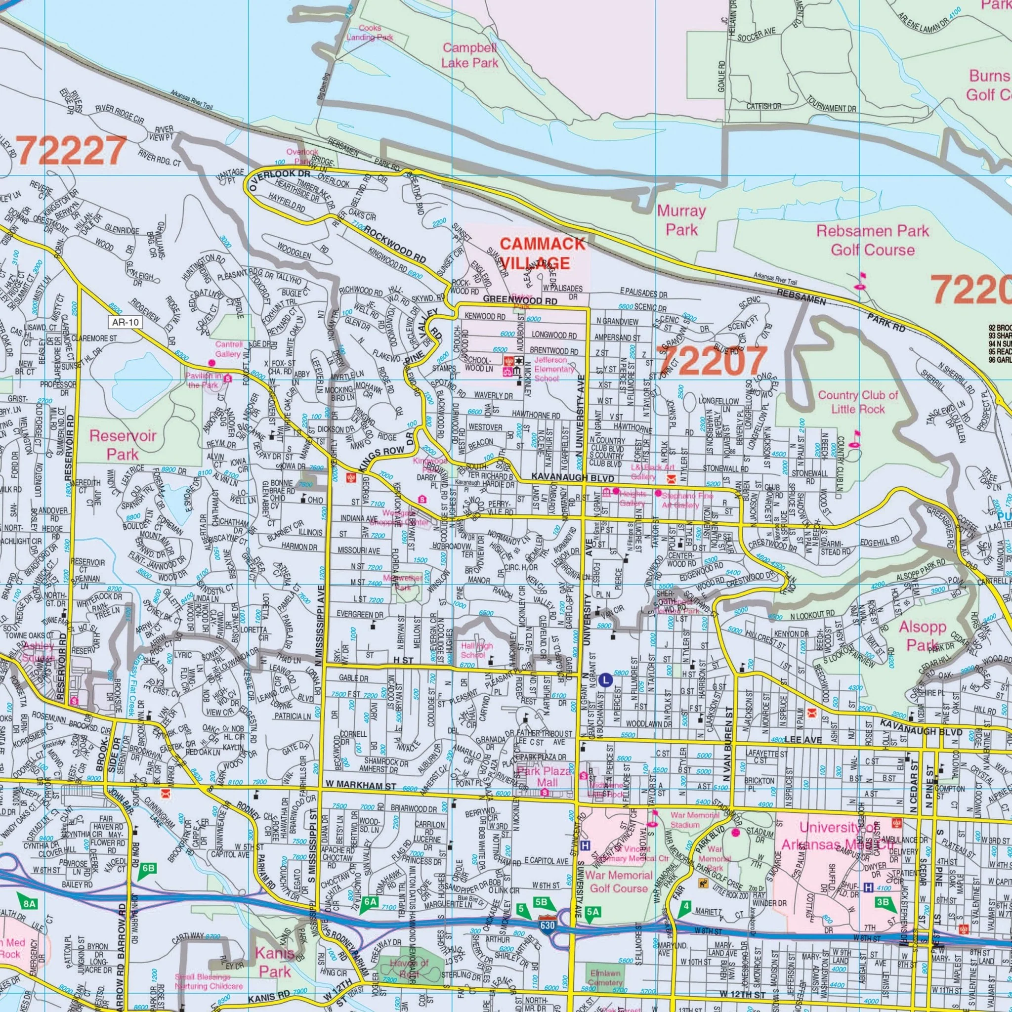
This map includes a wide range of details and features, such as airports, block numbers, cemeteries, city limits, educational institutions, golf and country clubs, government buildings, hospitals, libraries, points of interest, police stations, railroads, recreational parks, shopping centers, streets and highways, water features, and ZIP code boundaries.
Size: 71" x 54"
Published: 2008
Original: $149.99
-70%$149.99
$45.00Product Information
Product Information
Shipping & Returns
Shipping & Returns
Description
The Hot Springs & Garland Co., AR Wall Map by Kappa Map Group provides complete street detail. It encompasses Garland County, Hot Springs Village, Rockport, and Malvern within specified boundaries:
- To the North, it extends to the Garland / Perry County Line.
- To the South, it includes the Garland / Hot Springs County Line.
- In the East, it covers all of Lonsdale and extends to the Garland / Saline County Line.
- To the West, it reaches the Garland / Montgomery County Line.
This map includes a wide range of details and features, such as airports, block numbers, cemeteries, city limits, educational institutions, golf and country clubs, government buildings, hospitals, libraries, points of interest, police stations, railroads, recreational parks, shopping centers, streets and highways, water features, and ZIP code boundaries.
Size: 71" x 54"
Published: 2008