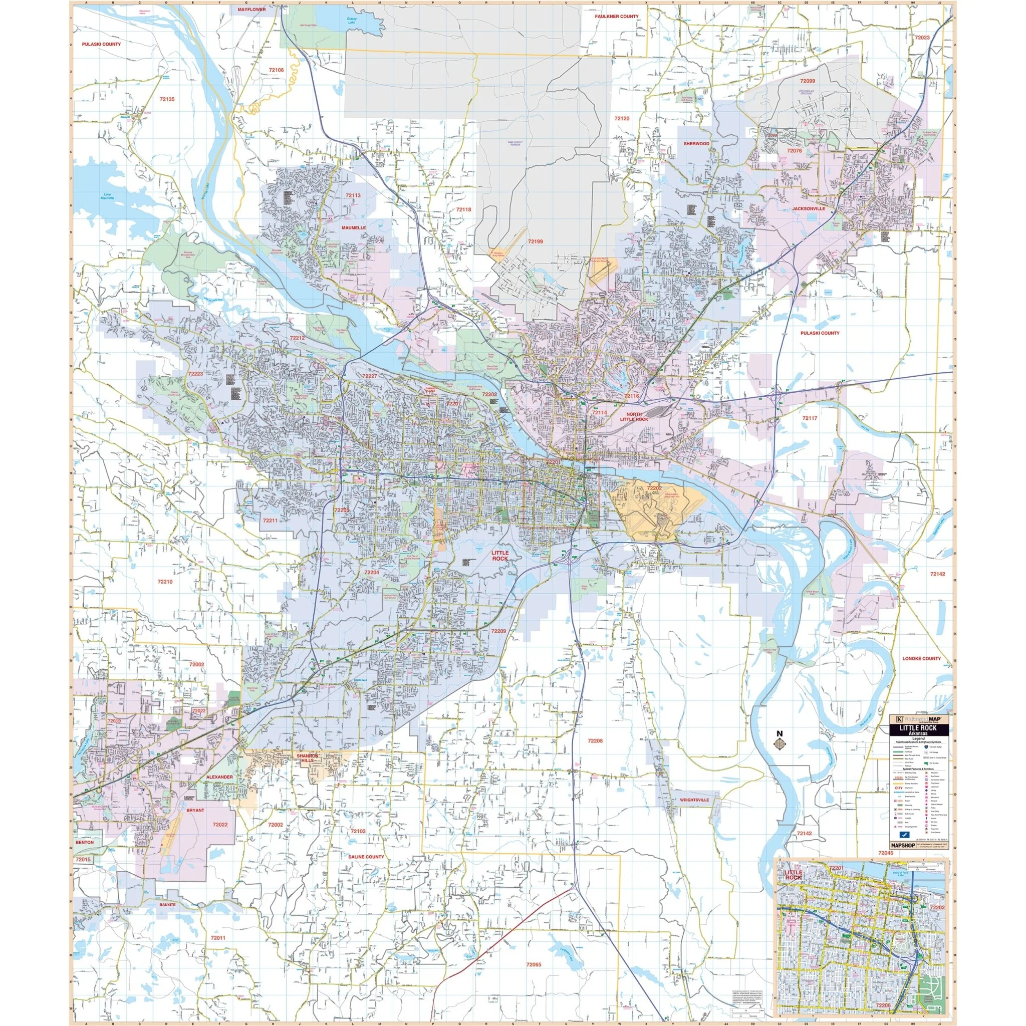


Little Rock, AR Wall Map
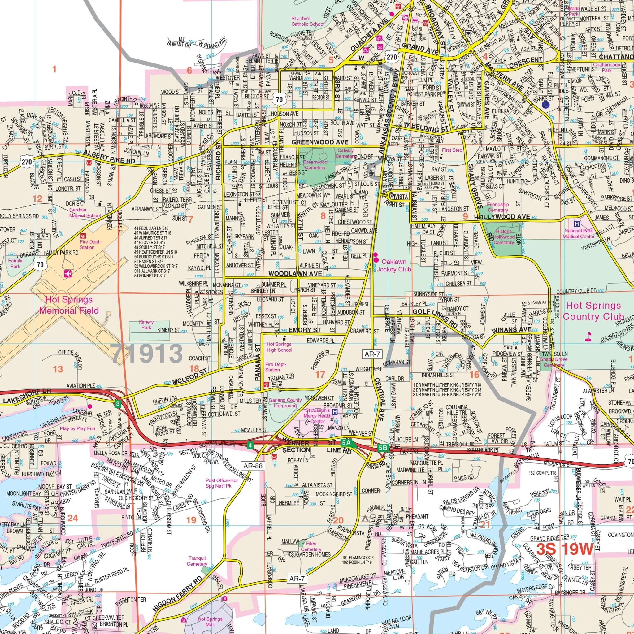
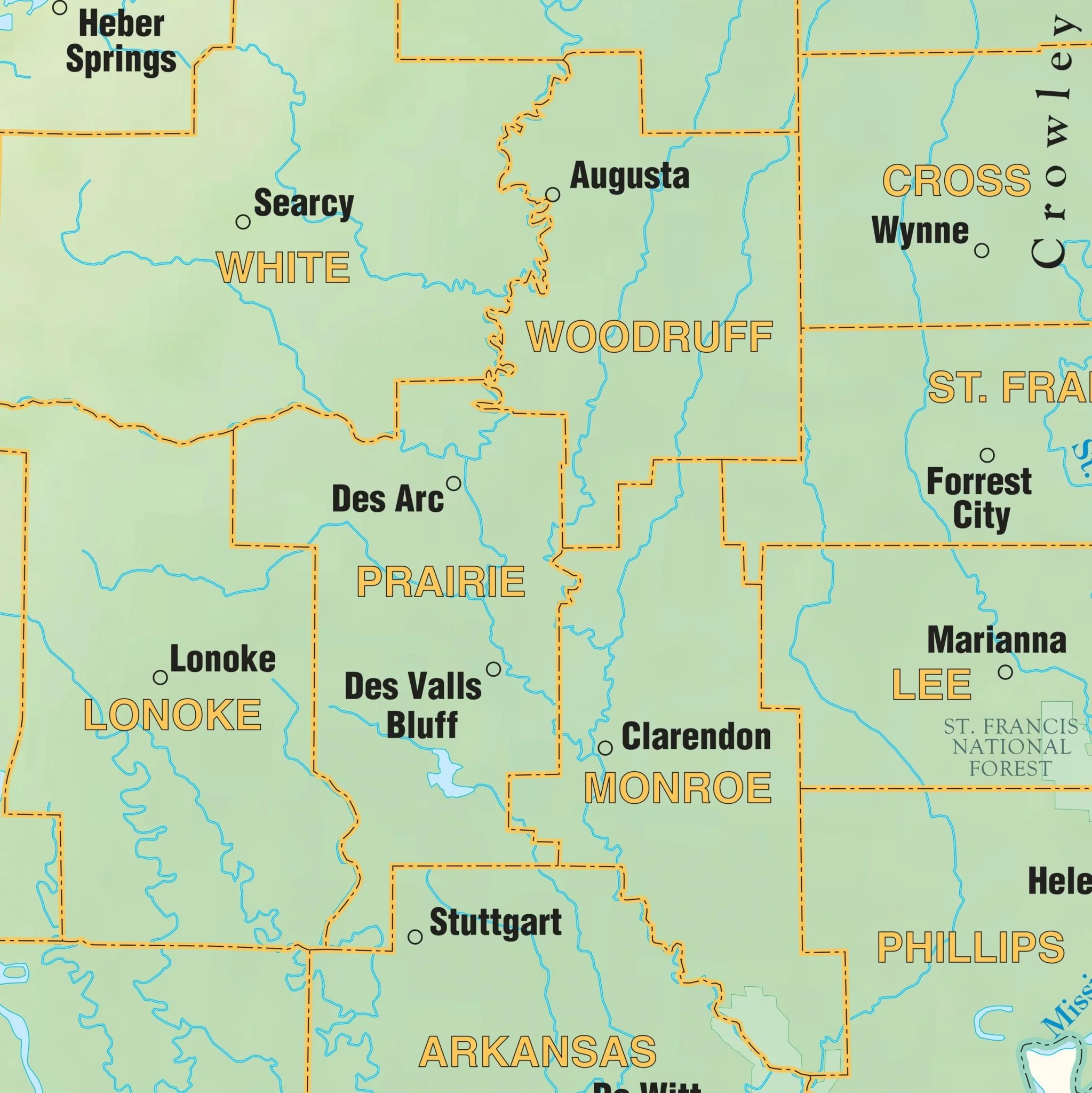
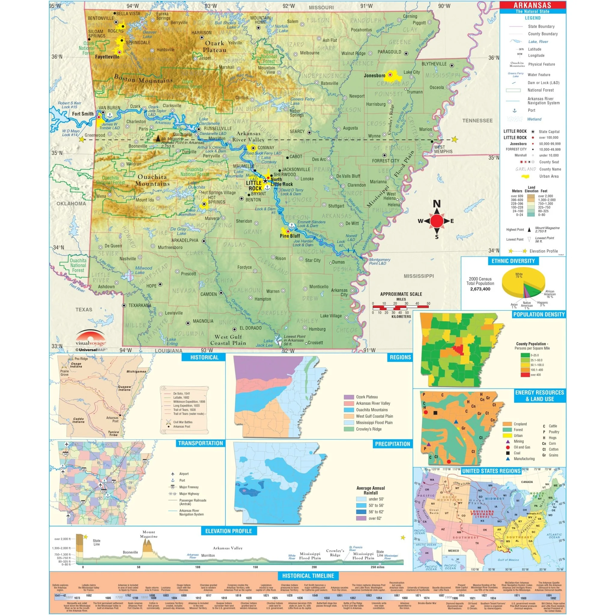
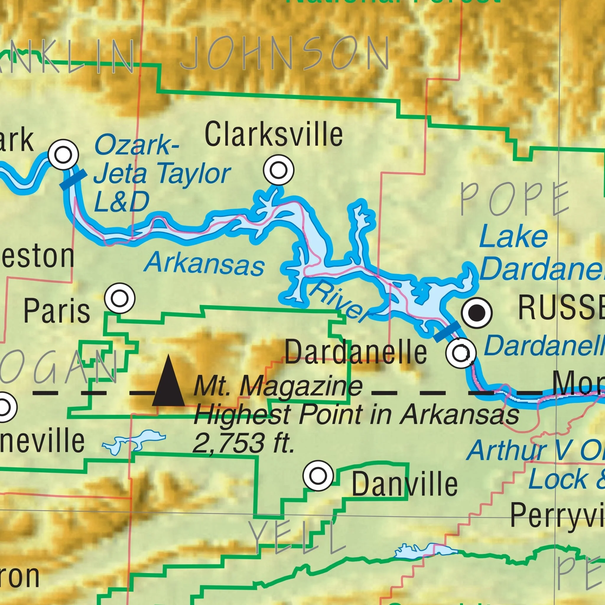
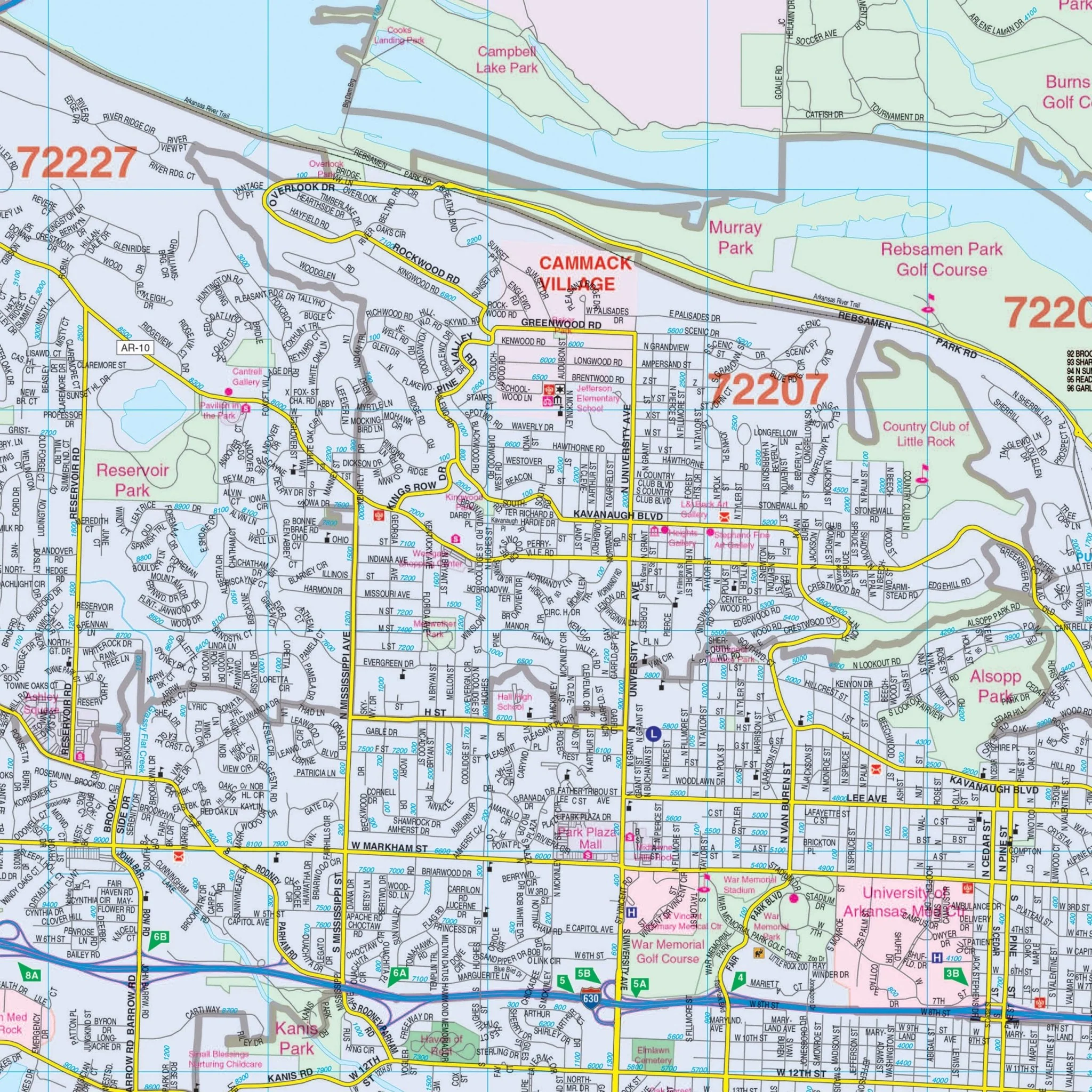
The wall map of Little Rock, AR and adjacent areas offers comprehensive cartographic information without mentioning its size or publication date. The coverage area encompasses all of Little Rock and North Little Rock, extending from the Faulkner County line in the north to Little Rock Air Force Base in the north, from Woodson and Sardis in the south, from the Lonoke County line in the east, to Bauxite and Bryant in the west. Additionally, the map includes an inset of Downtown Little Rock for added detail.
This map is a valuable resource, providing a wealth of information, including streets, airports, government buildings, post offices, cemeteries, fire and police stations, hospitals, shopping centers, educational institutions, railroads, water features, golf and country clubs, mileage circles, recreational parks, ZIP codes and boundaries, and block numbers.
Size: 57" x 65.75"
Published: 2011
Original: $149.99
-70%$149.99
$45.00Product Information
Product Information
Shipping & Returns
Shipping & Returns
Description
The wall map of Little Rock, AR and adjacent areas offers comprehensive cartographic information without mentioning its size or publication date. The coverage area encompasses all of Little Rock and North Little Rock, extending from the Faulkner County line in the north to Little Rock Air Force Base in the north, from Woodson and Sardis in the south, from the Lonoke County line in the east, to Bauxite and Bryant in the west. Additionally, the map includes an inset of Downtown Little Rock for added detail.
This map is a valuable resource, providing a wealth of information, including streets, airports, government buildings, post offices, cemeteries, fire and police stations, hospitals, shopping centers, educational institutions, railroads, water features, golf and country clubs, mileage circles, recreational parks, ZIP codes and boundaries, and block numbers.
Size: 57" x 65.75"
Published: 2011