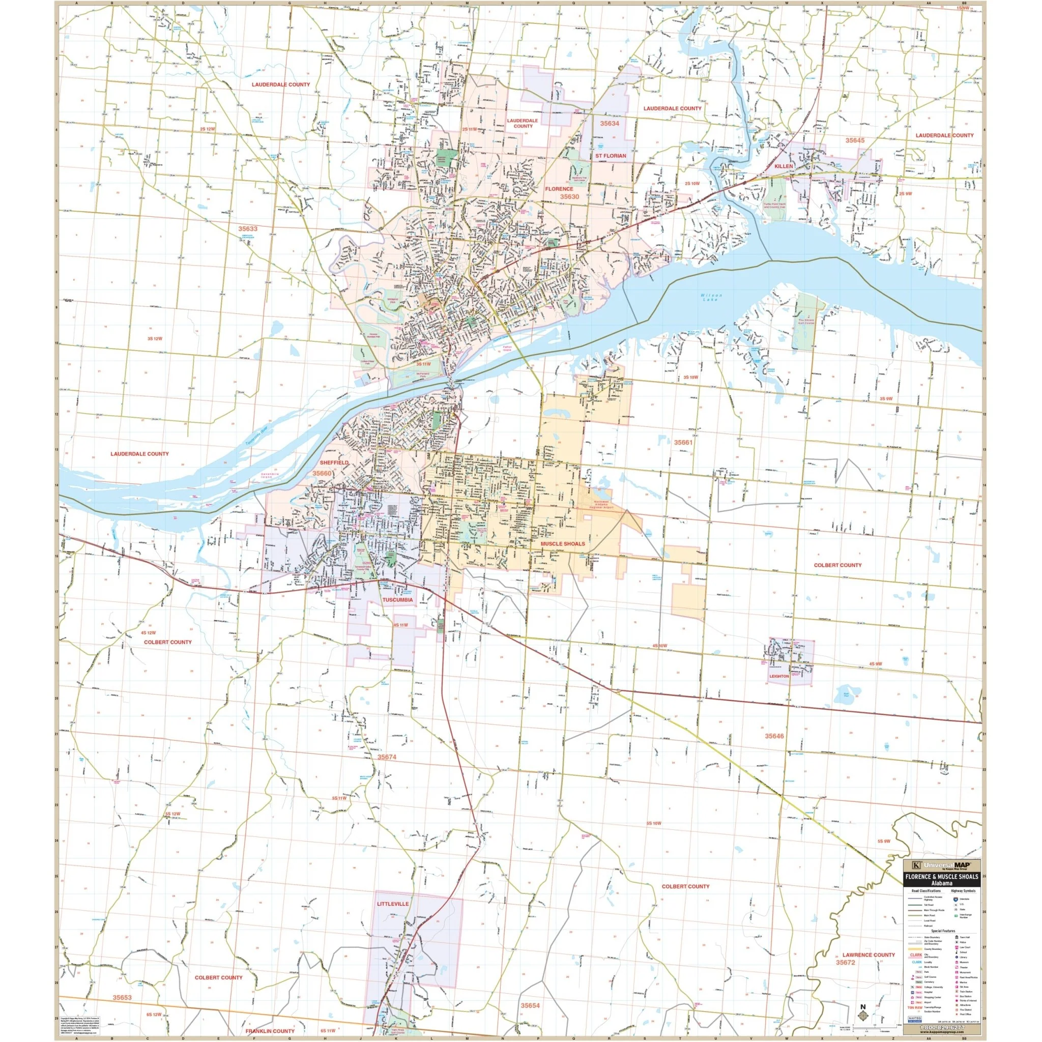


Huntsville, AL Wall Map
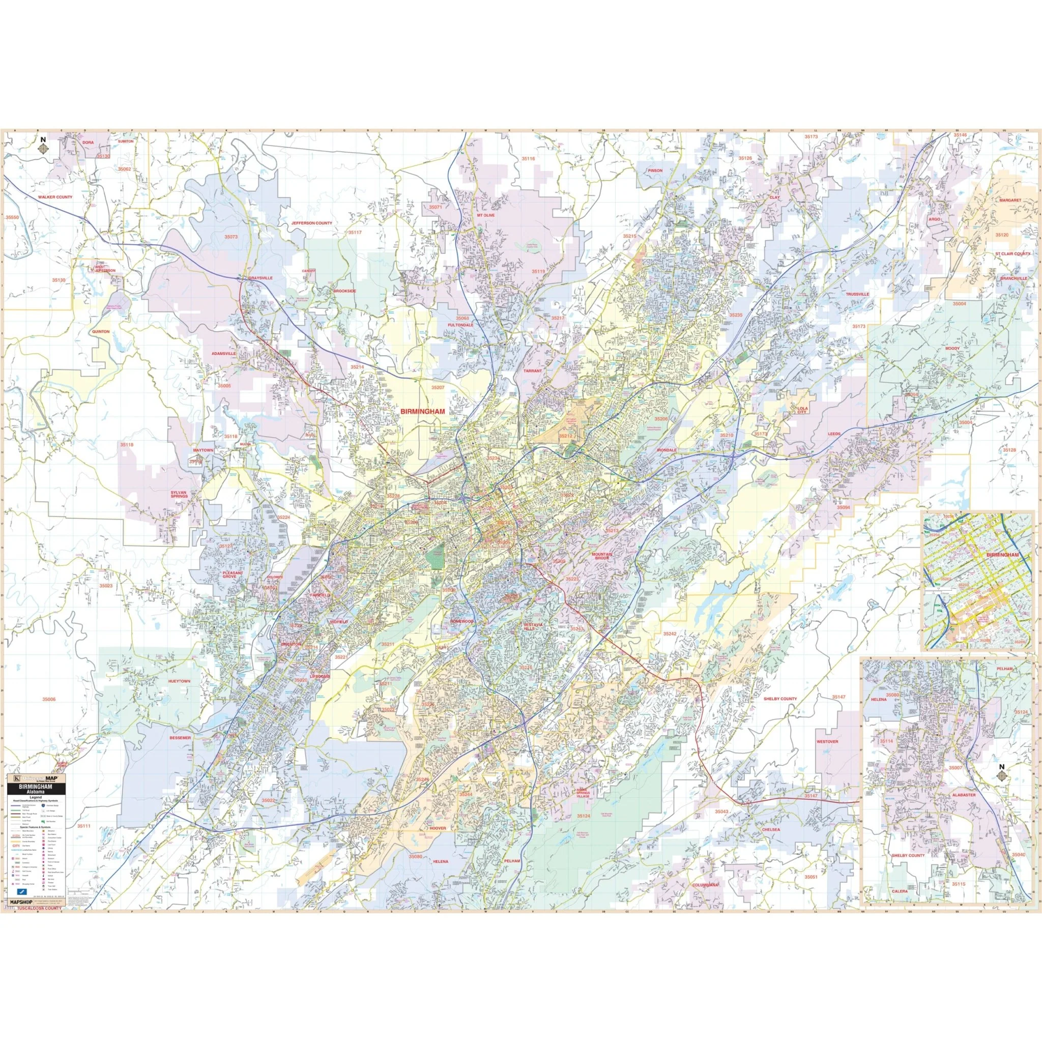
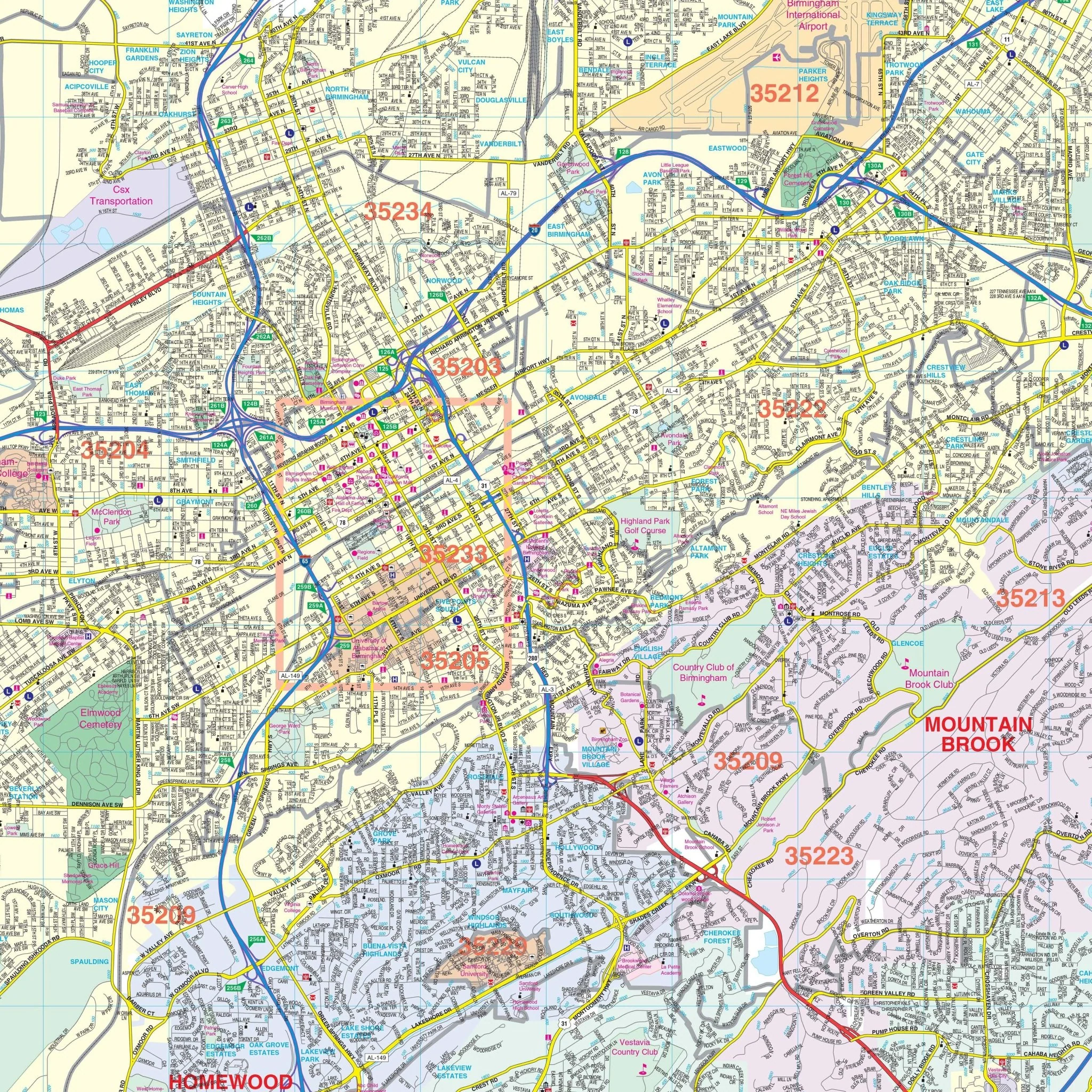
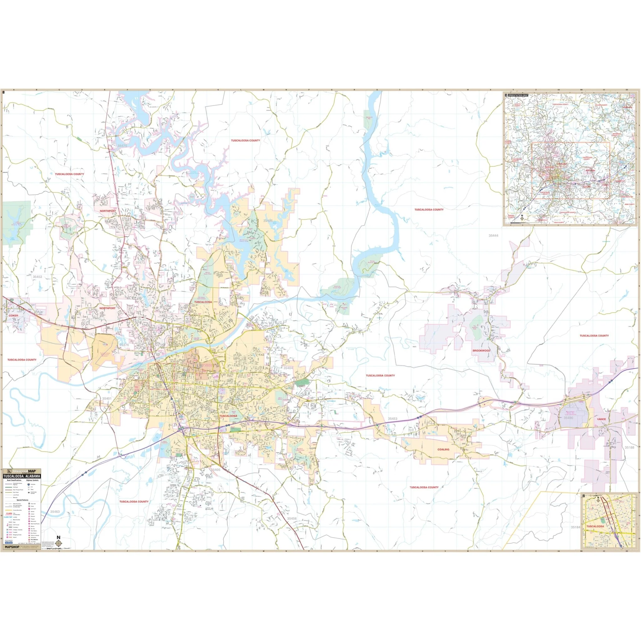
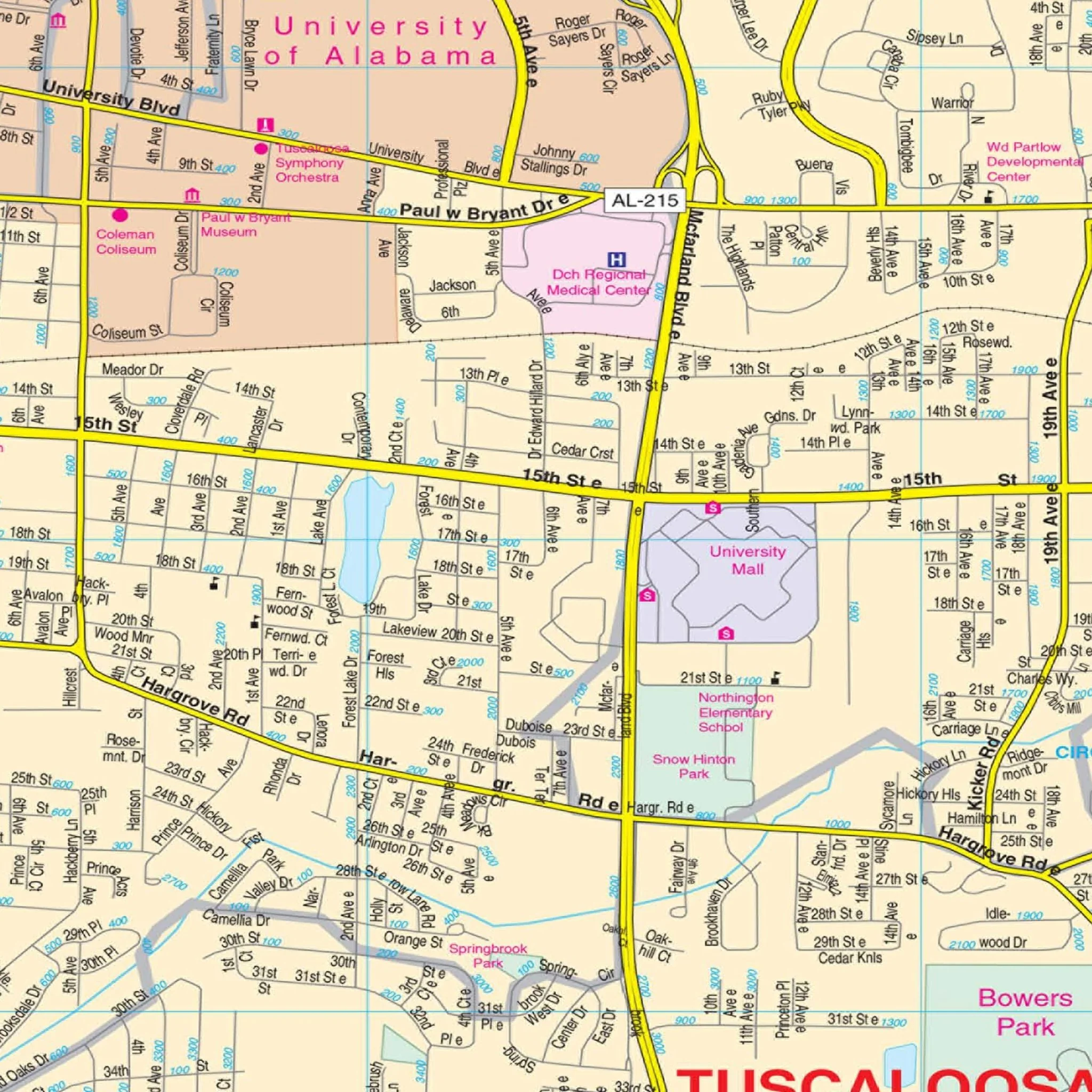
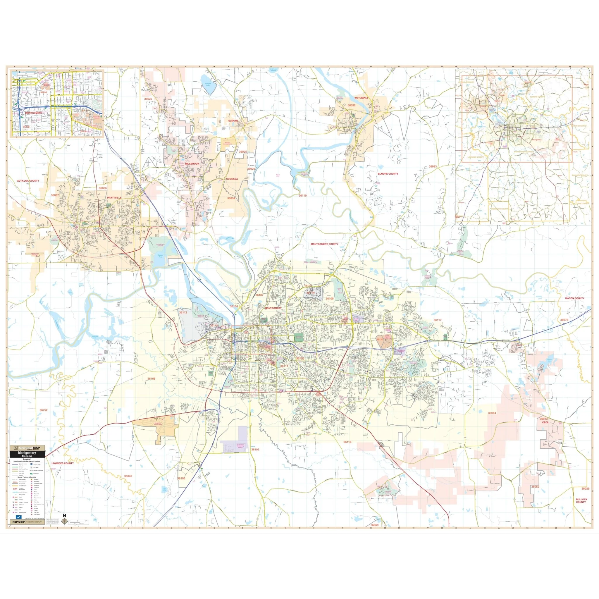
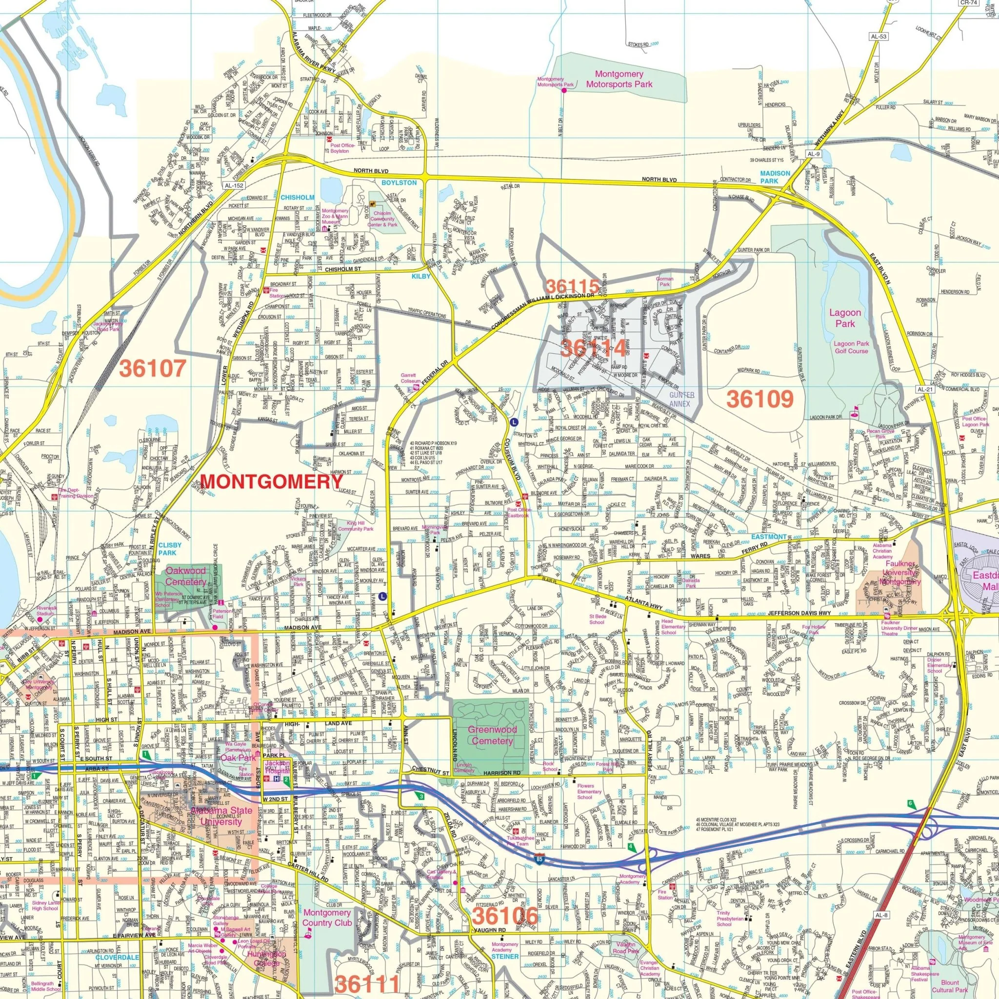
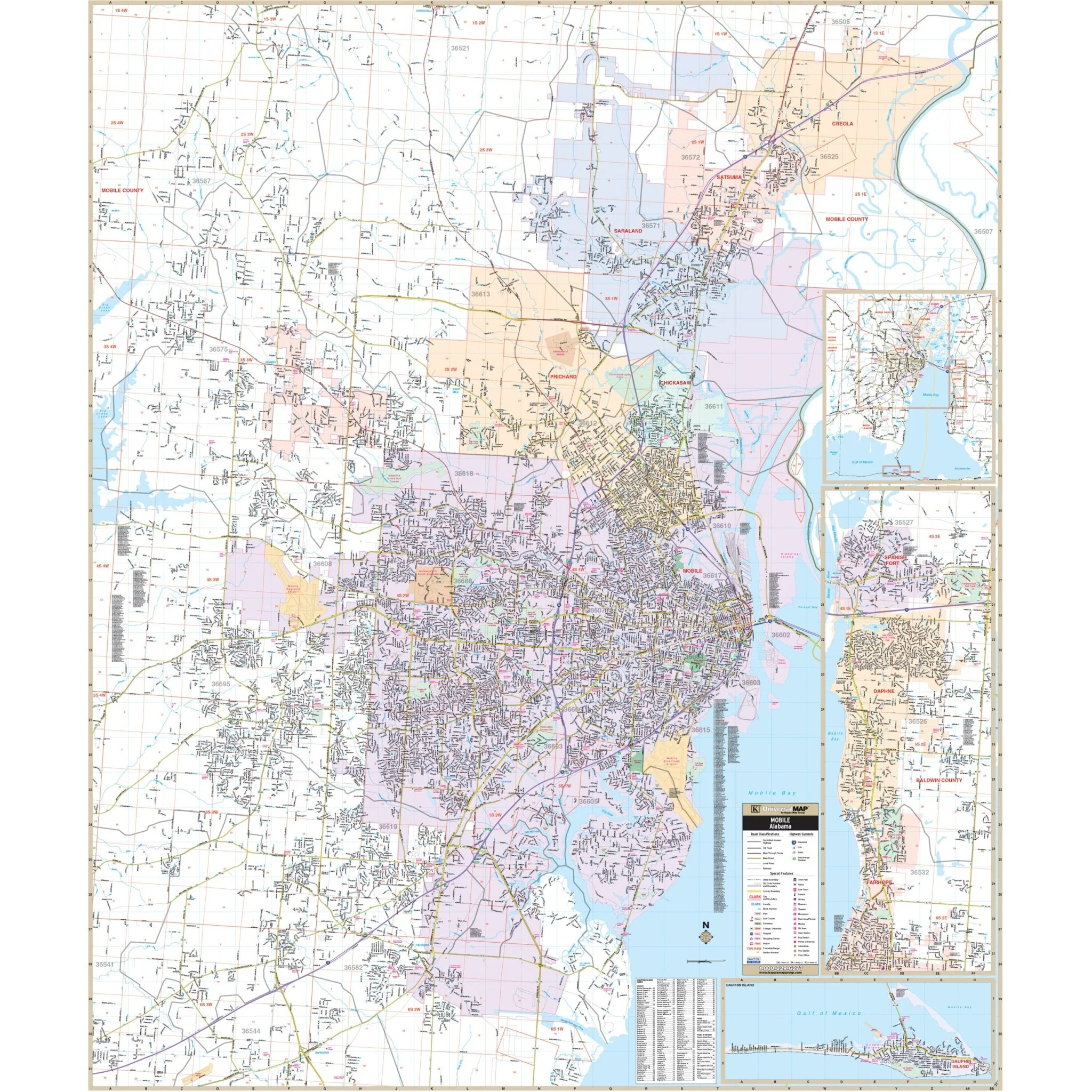
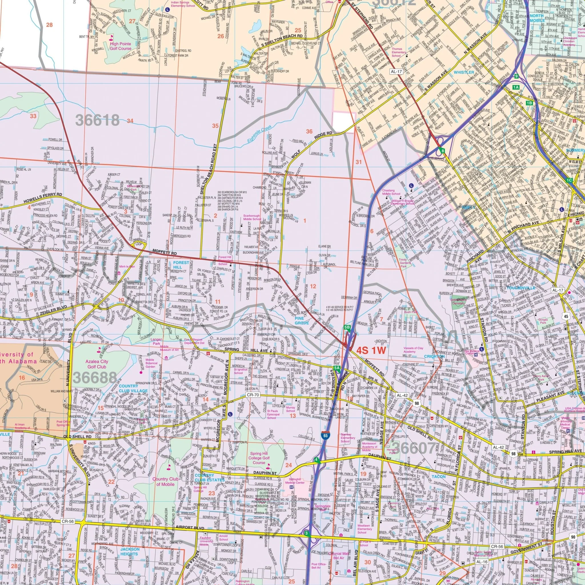
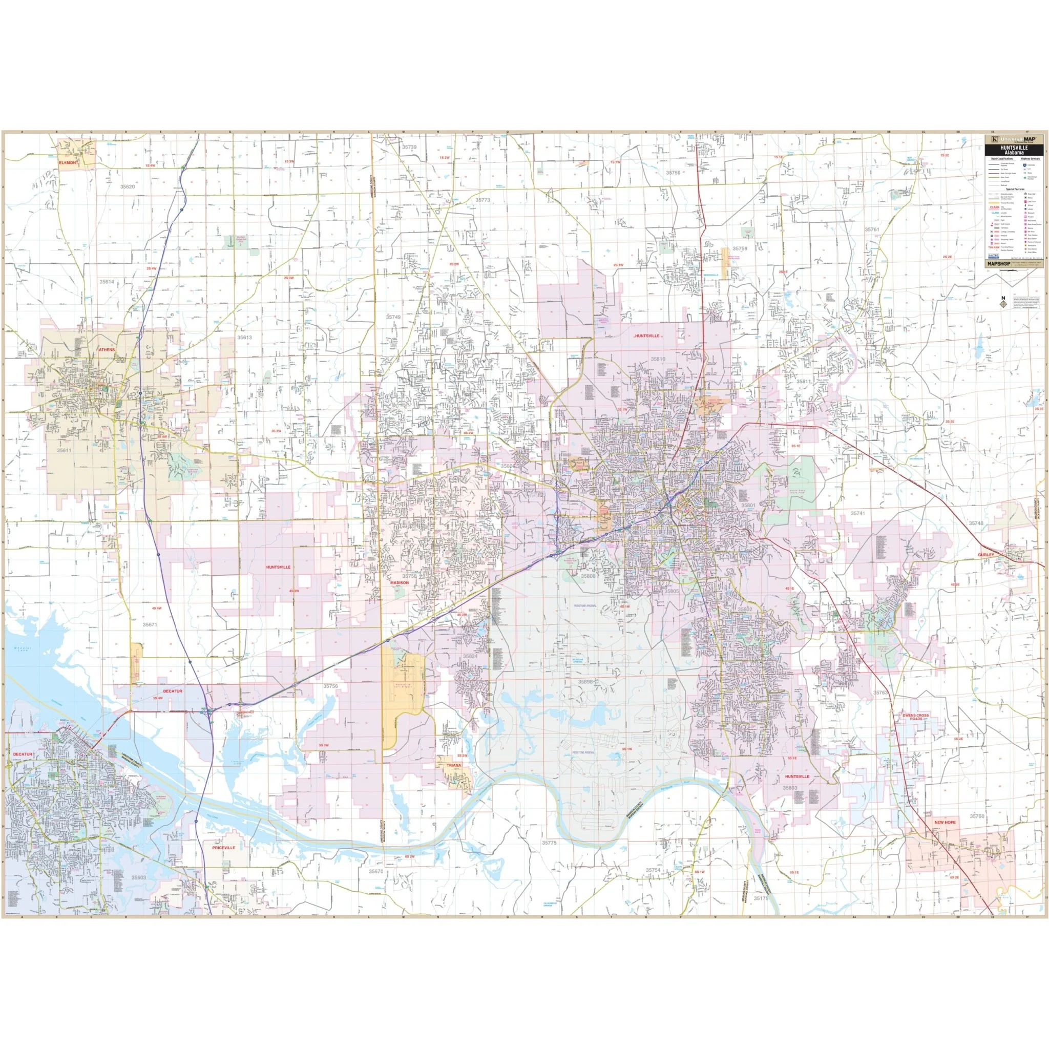
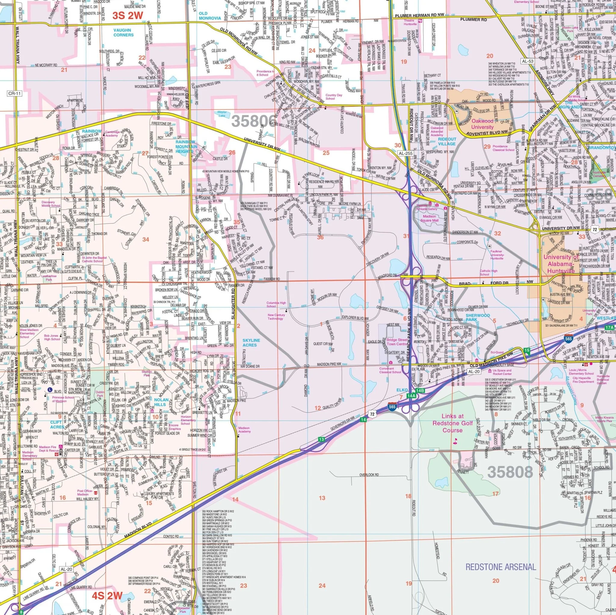
The Wall Map of Huntsville, Alabama by Kappa Map Group provides complete street detail, offering a comprehensive view of the area. Its coverage includes:
- To the North, it extends to the community of Hazel Green.
- To the South, it encompasses the entirety of the City of New Hope.
- In the East, it covers all of the Town of Gurley.
- To the West, it includes all of the City of Athens and the Town of Elkmont in Limestone County.
This map offers a wealth of details, including airports, all streets and highways, block numbers, cemeteries, city/town and village boundaries (color-coded), educational institutions, fire and police stations, golf and country clubs, government buildings, hospitals, libraries, points of interest, post offices, railroads, recreational parks, section/township/range lines, water features, and ZIP codes and their boundaries.
Size: 78" x 59"
Published: 2013
Product Information
Product Information
Shipping & Returns
Shipping & Returns
Description
The Wall Map of Huntsville, Alabama by Kappa Map Group provides complete street detail, offering a comprehensive view of the area. Its coverage includes:
- To the North, it extends to the community of Hazel Green.
- To the South, it encompasses the entirety of the City of New Hope.
- In the East, it covers all of the Town of Gurley.
- To the West, it includes all of the City of Athens and the Town of Elkmont in Limestone County.
This map offers a wealth of details, including airports, all streets and highways, block numbers, cemeteries, city/town and village boundaries (color-coded), educational institutions, fire and police stations, golf and country clubs, government buildings, hospitals, libraries, points of interest, post offices, railroads, recreational parks, section/township/range lines, water features, and ZIP codes and their boundaries.
Size: 78" x 59"
Published: 2013