


Montgomery, AL Wall Map
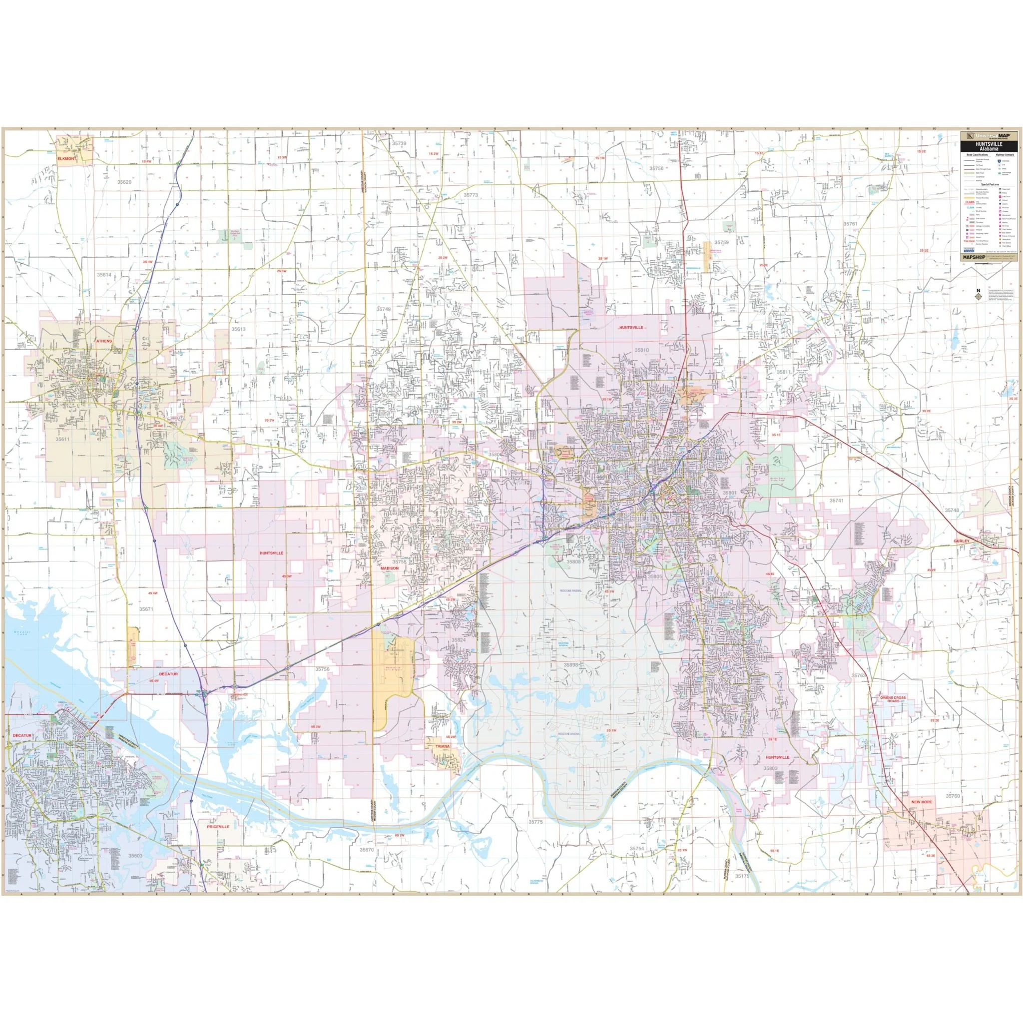
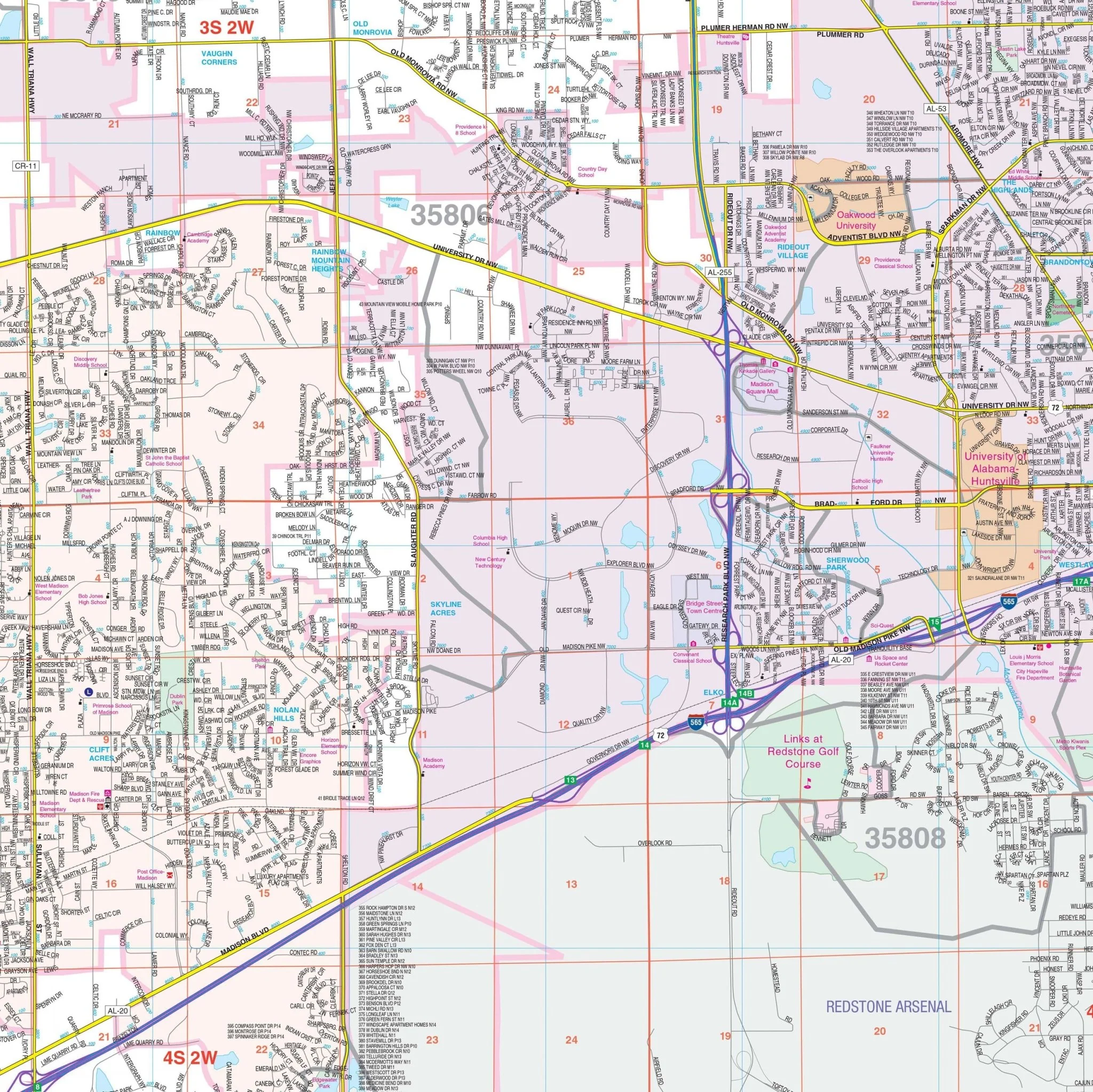
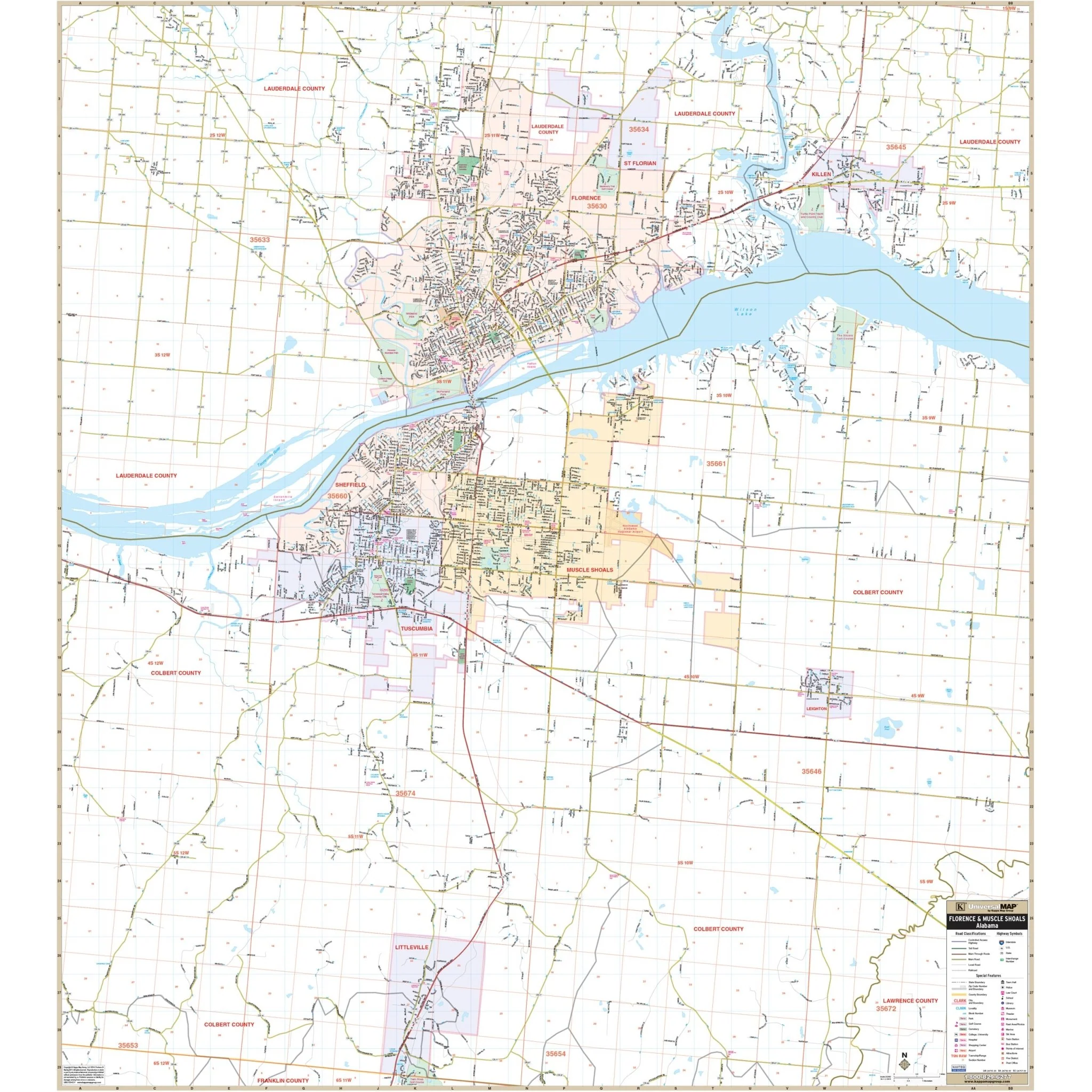
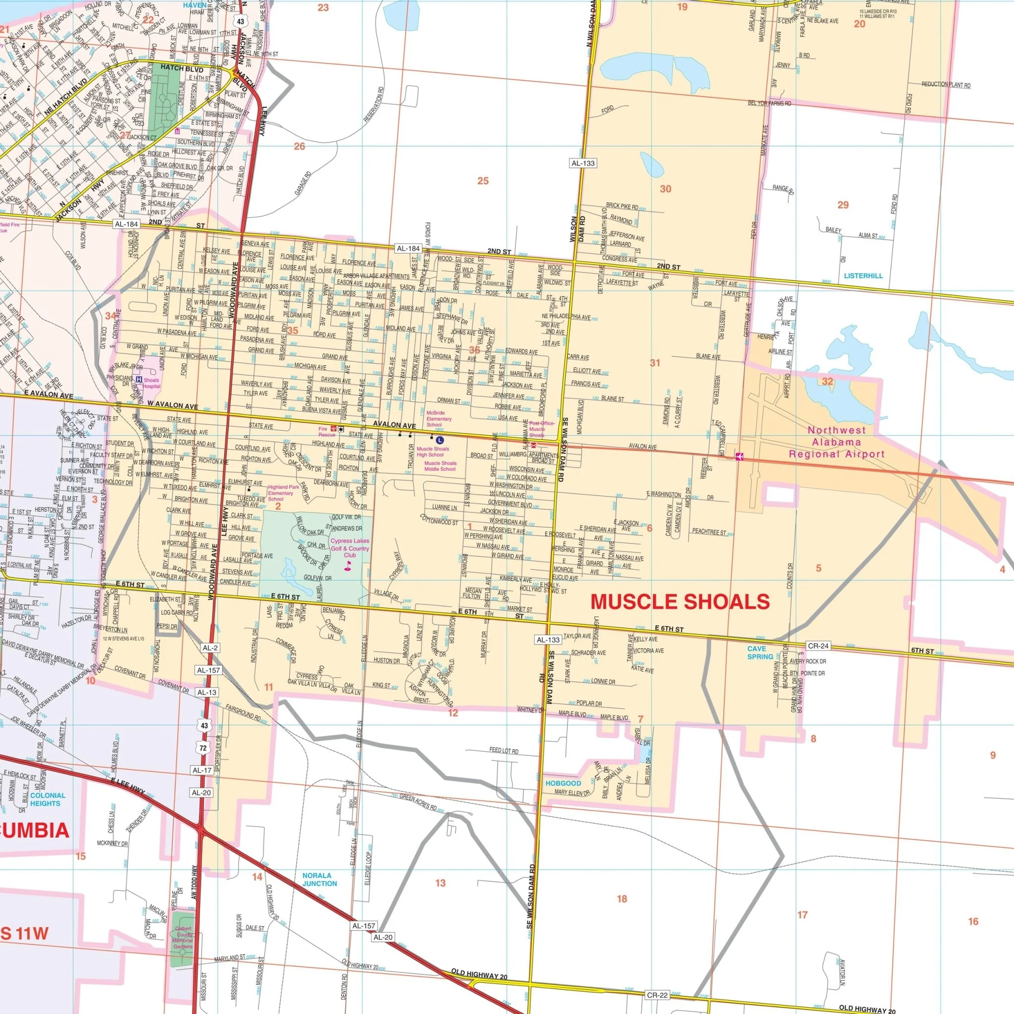
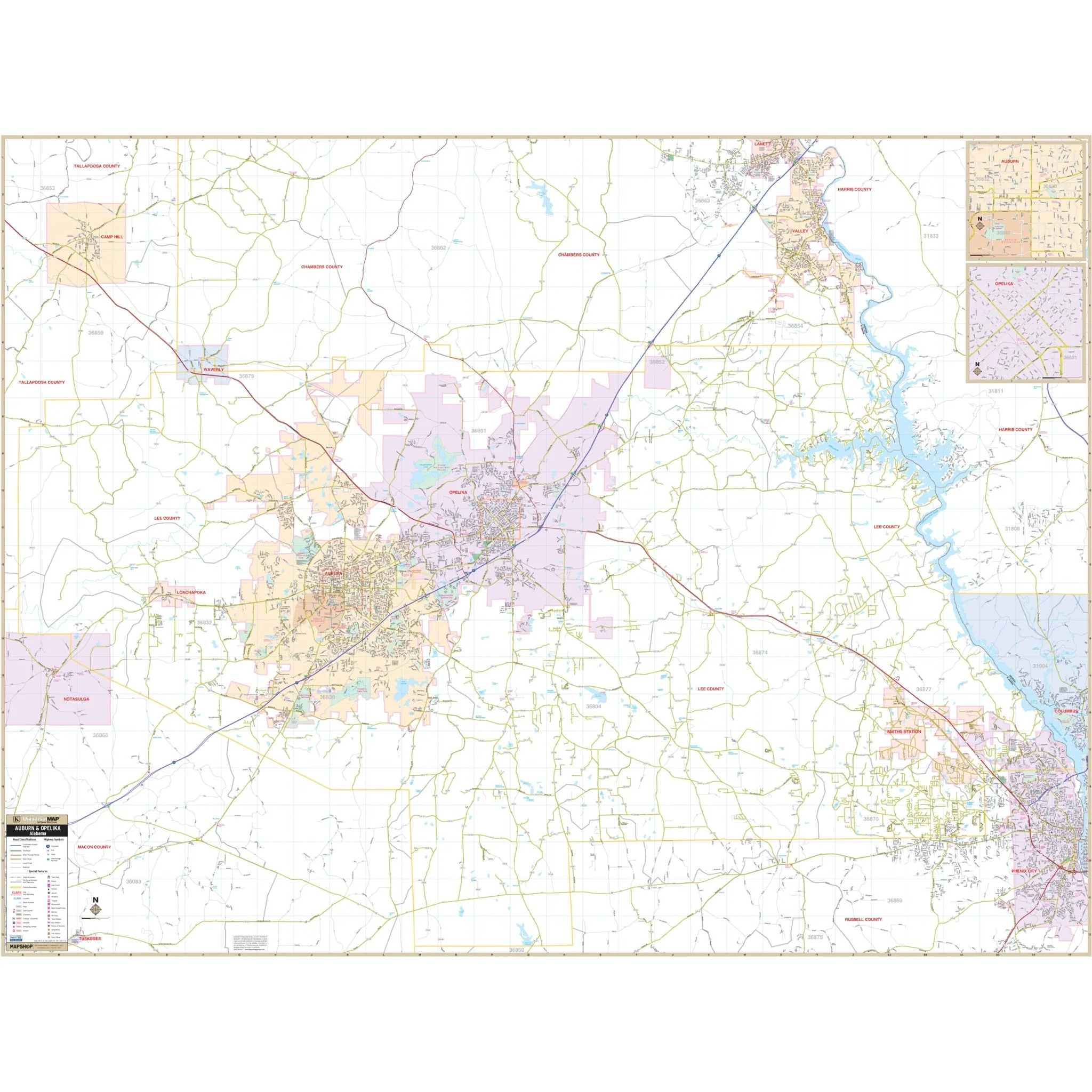
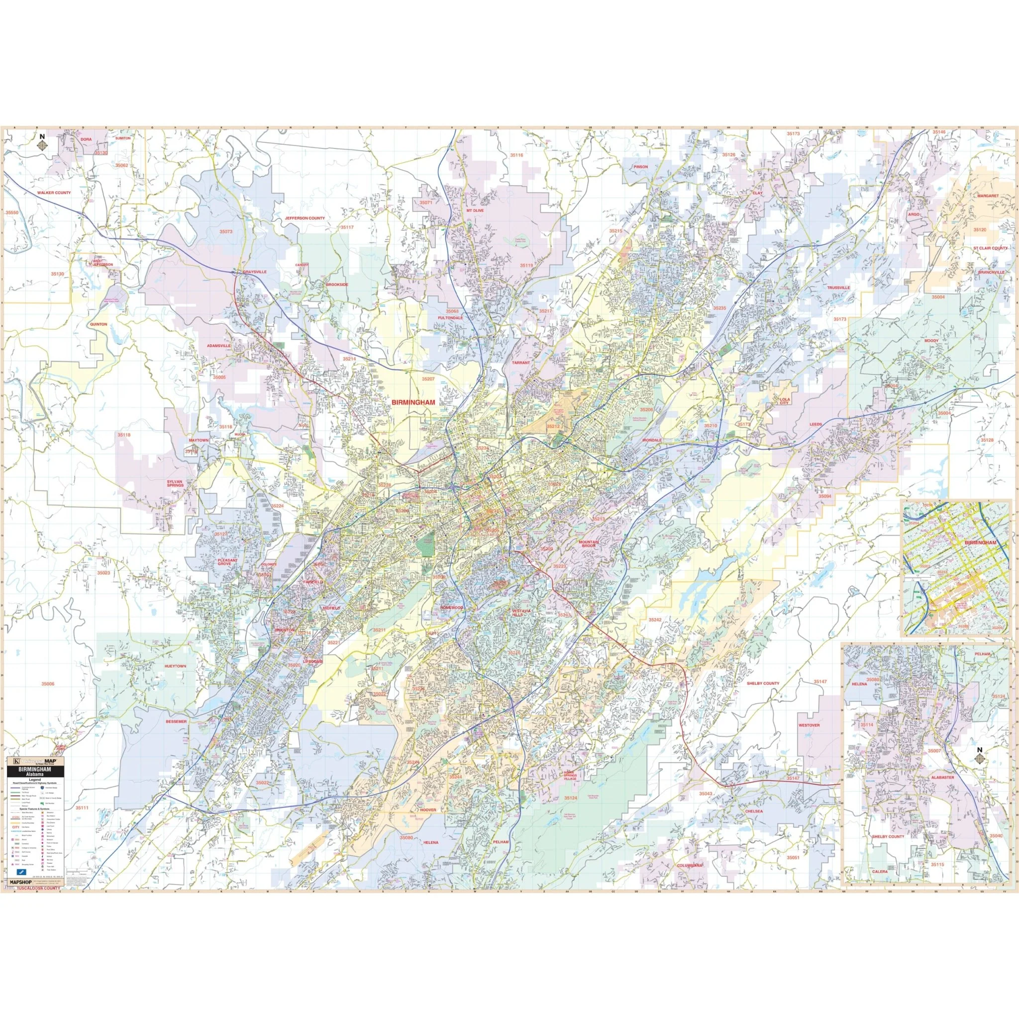
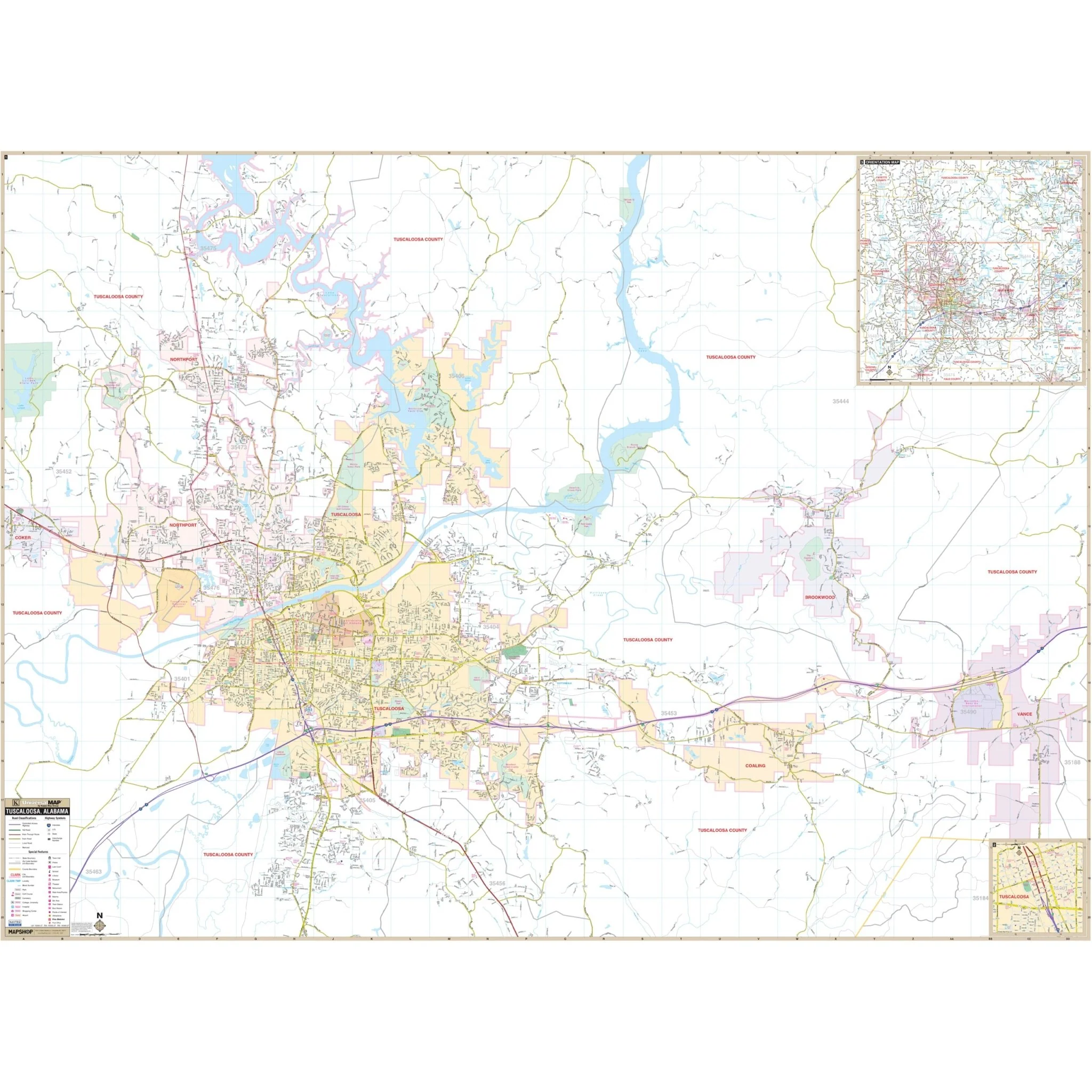
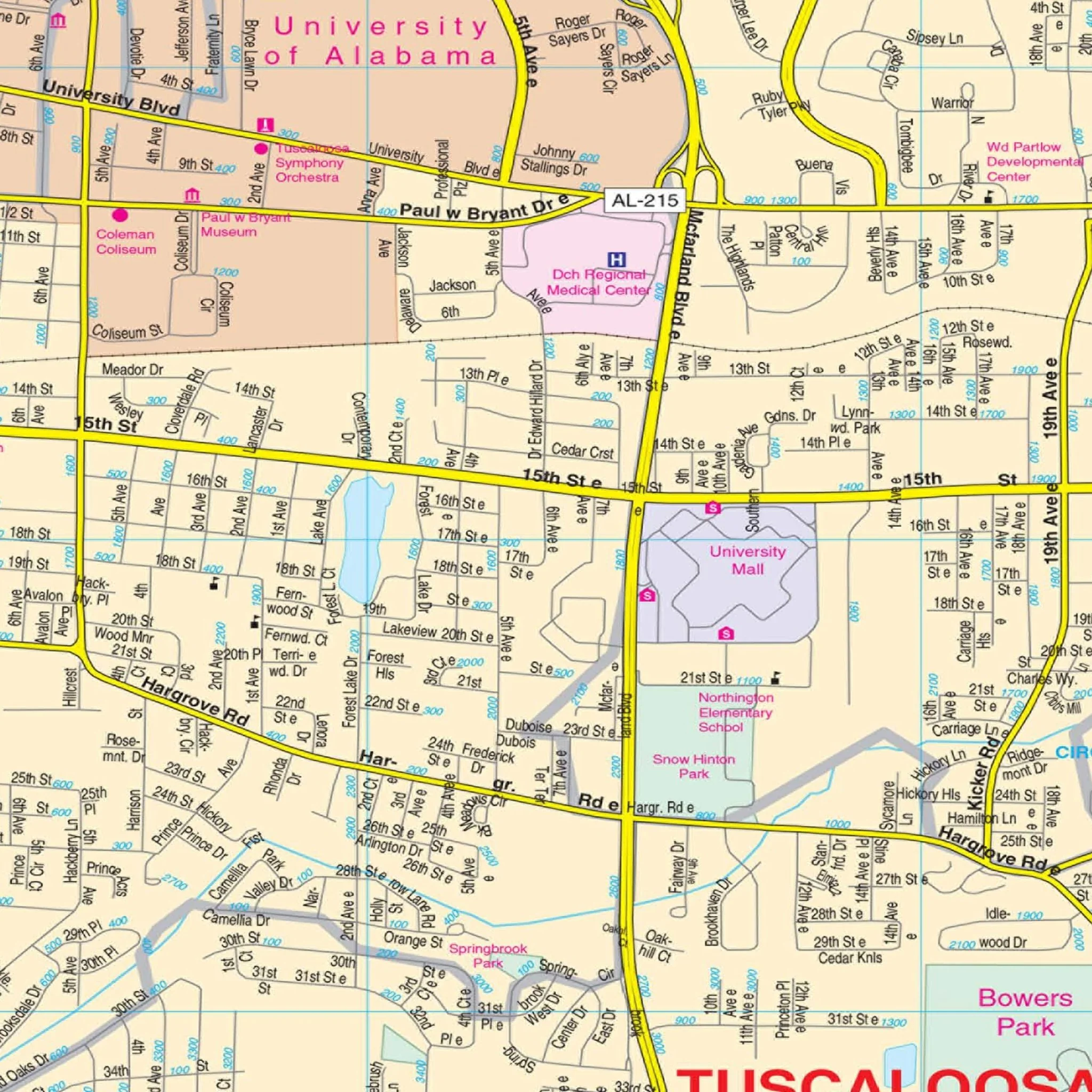
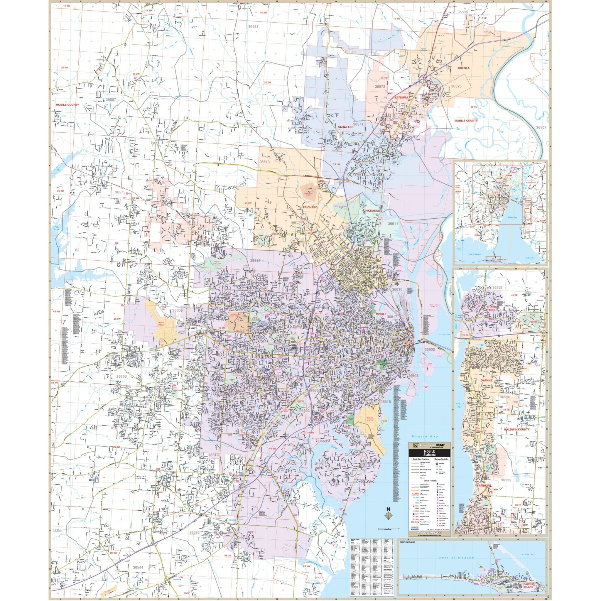
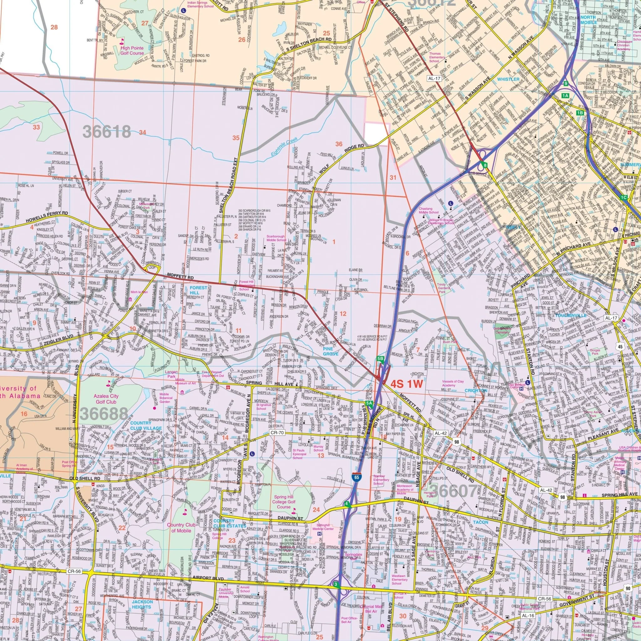
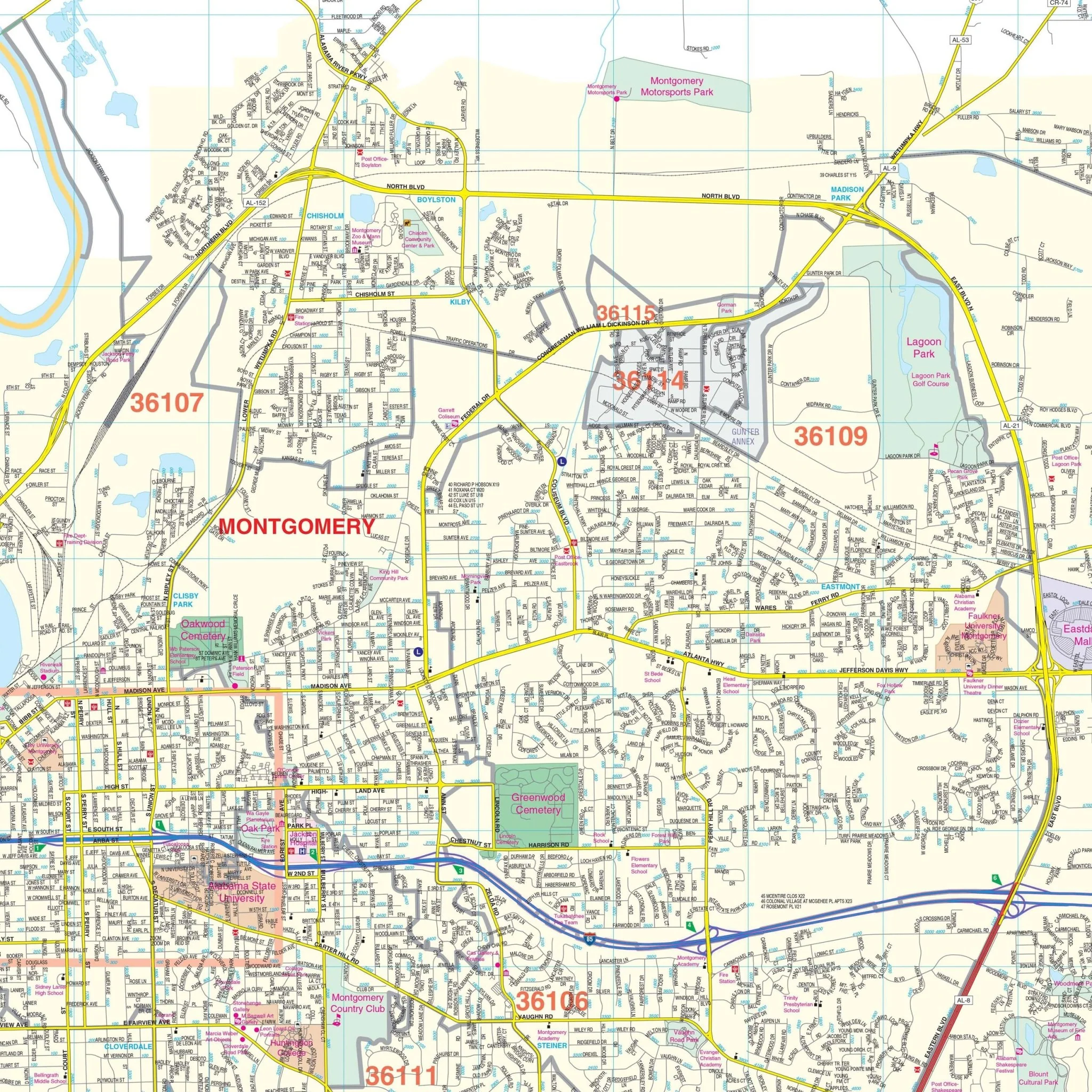
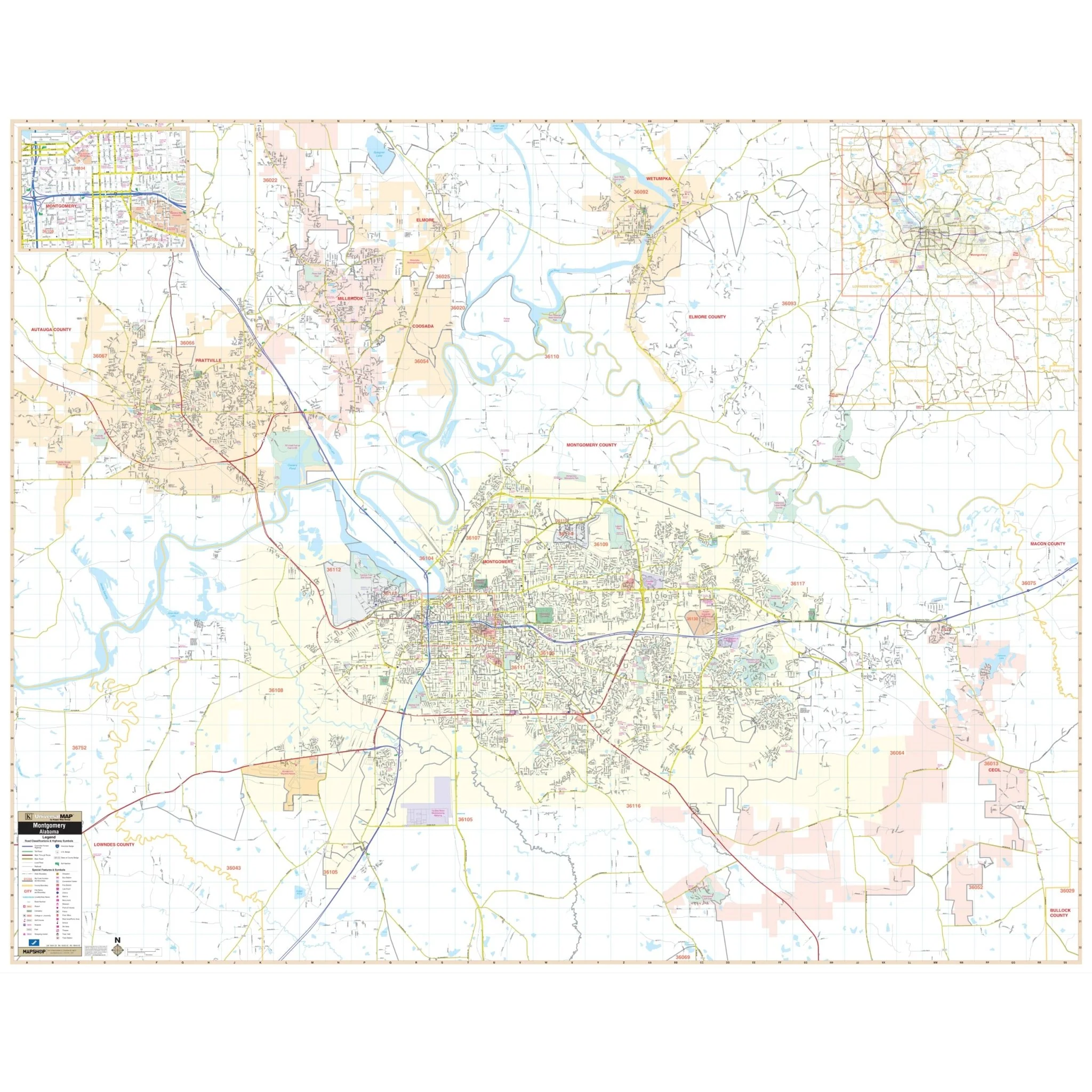
The Montgomery, AL Wall Map and its adjacent areas offer a comprehensive view of the region, featuring complete street detail.
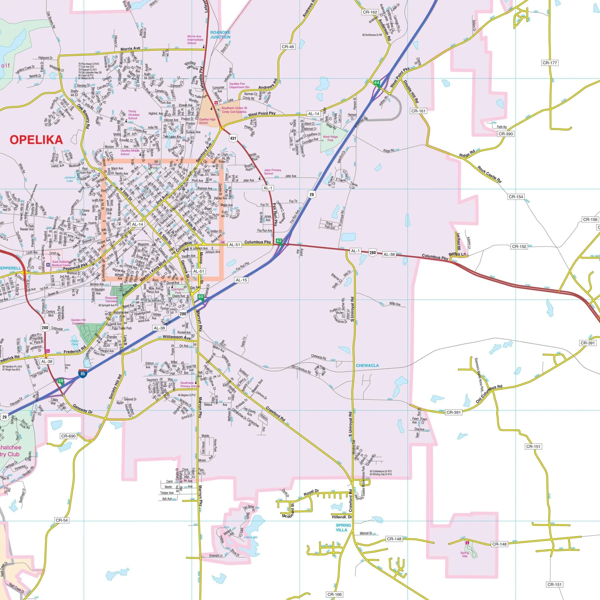
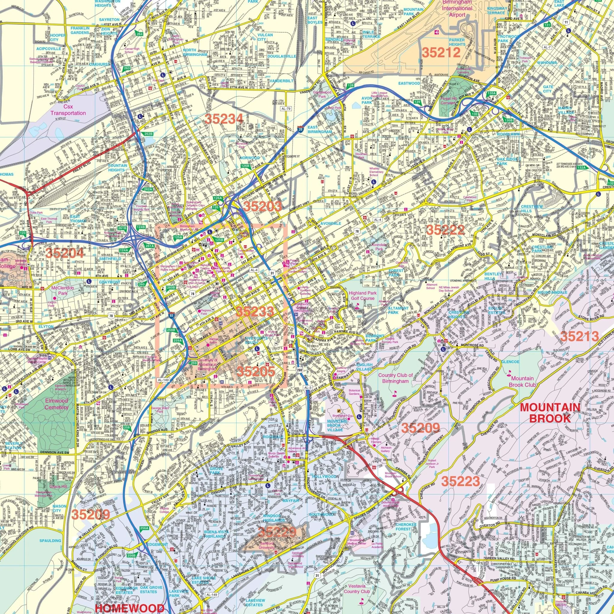
Notable features on this map include airports, block numbers, cemeteries, color-coded city limits, community names, fire and police stations, golf and country clubs, government buildings related to education, hospitals, libraries, post offices, points of interest, railroads, recreational parks, shopping centers, streets and highways, water features, and zip codes.
The coverage area extends as follows:
- North to Millbrook and Wetumpka
- South to Pike Road
- East to Pike Road
- West to Prattville
- Insets provide detailed maps of Downtown Montgomery and an area map of Montgomery County.
Size: 52.5" x 62.5"
Published: 2012
Original: $139.99
-70%$139.99
$42.00Product Information
Product Information
Shipping & Returns
Shipping & Returns
Description
The Montgomery, AL Wall Map and its adjacent areas offer a comprehensive view of the region, featuring complete street detail.
Notable features on this map include airports, block numbers, cemeteries, color-coded city limits, community names, fire and police stations, golf and country clubs, government buildings related to education, hospitals, libraries, post offices, points of interest, railroads, recreational parks, shopping centers, streets and highways, water features, and zip codes.
The coverage area extends as follows:
- North to Millbrook and Wetumpka
- South to Pike Road
- East to Pike Road
- West to Prattville
- Insets provide detailed maps of Downtown Montgomery and an area map of Montgomery County.
Size: 52.5" x 62.5"
Published: 2012