


Oklahoma Primary Thematic State Wall Map
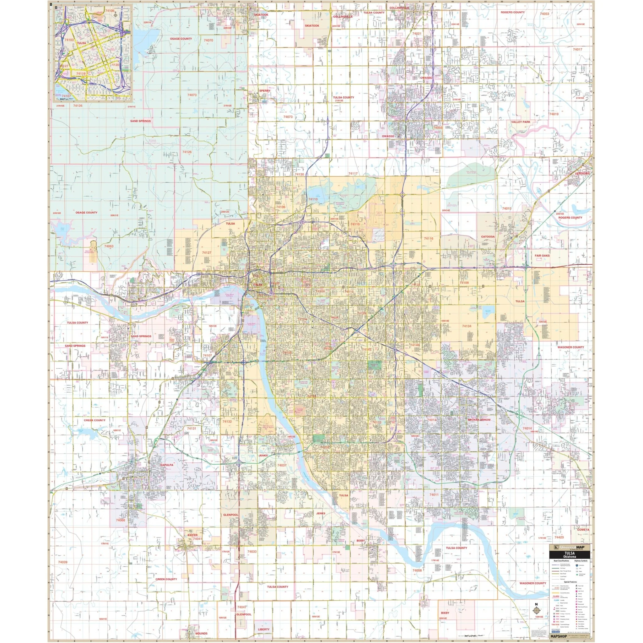
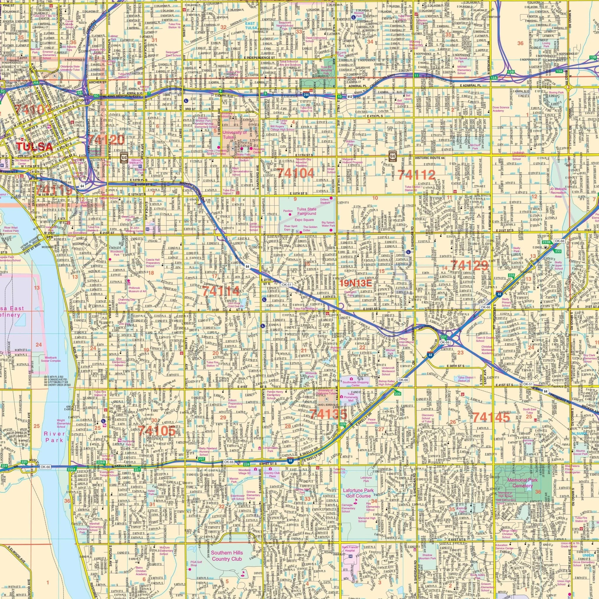
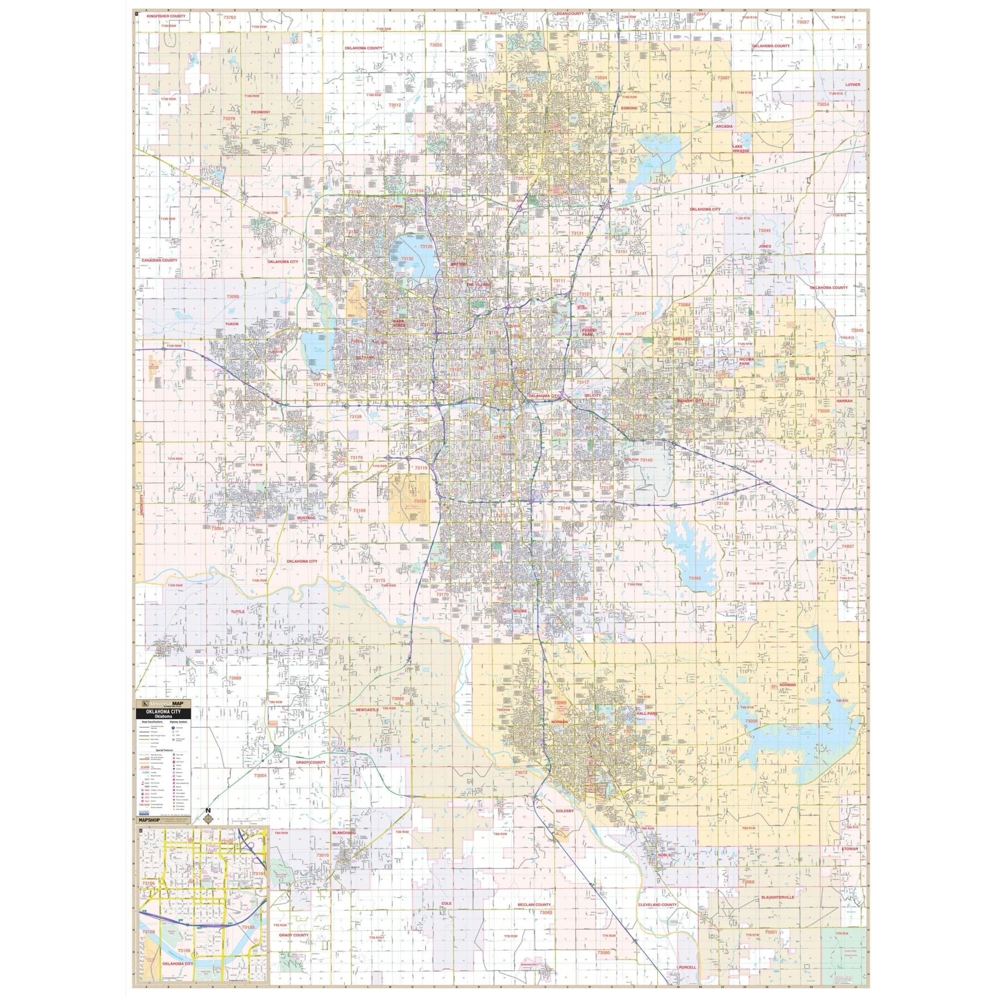
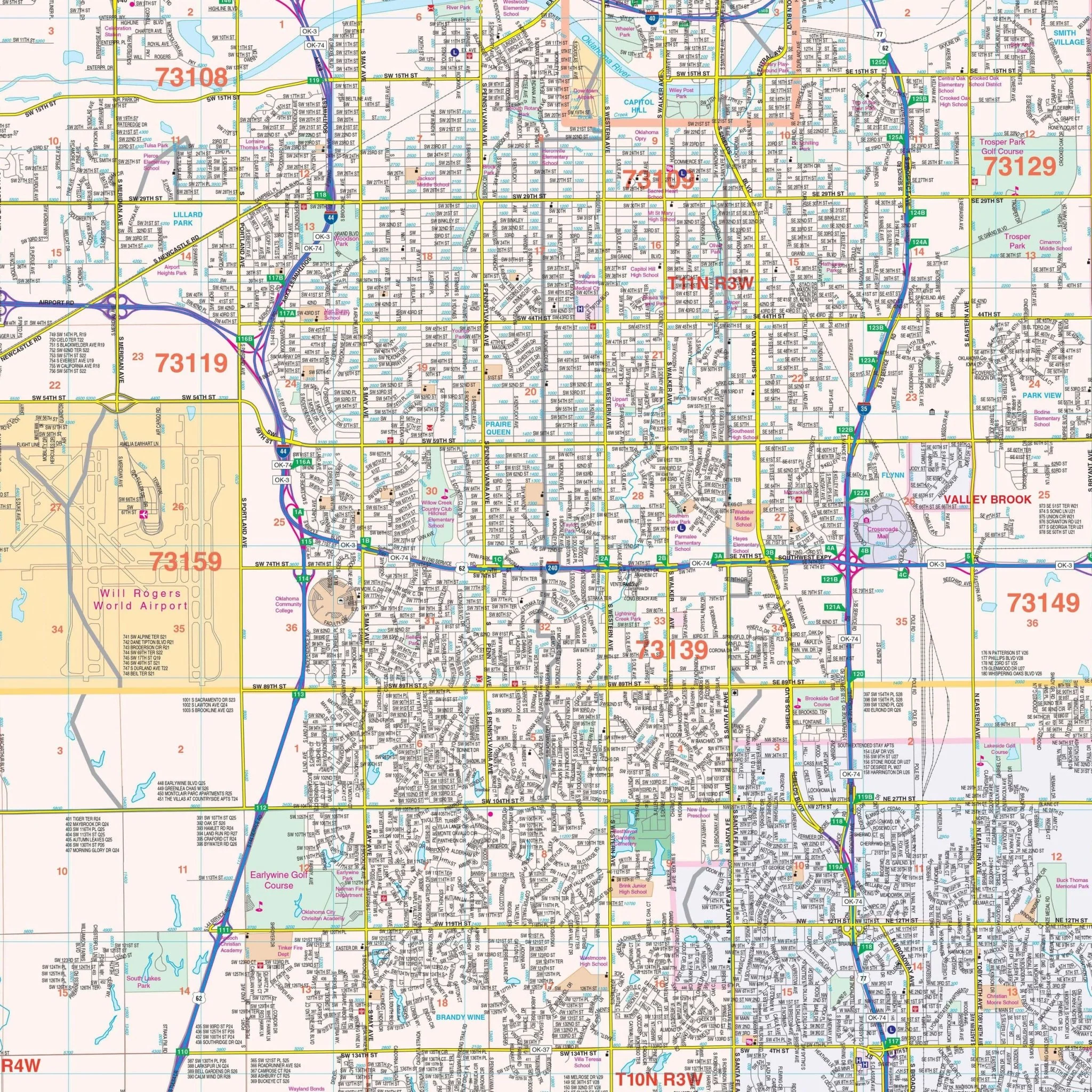
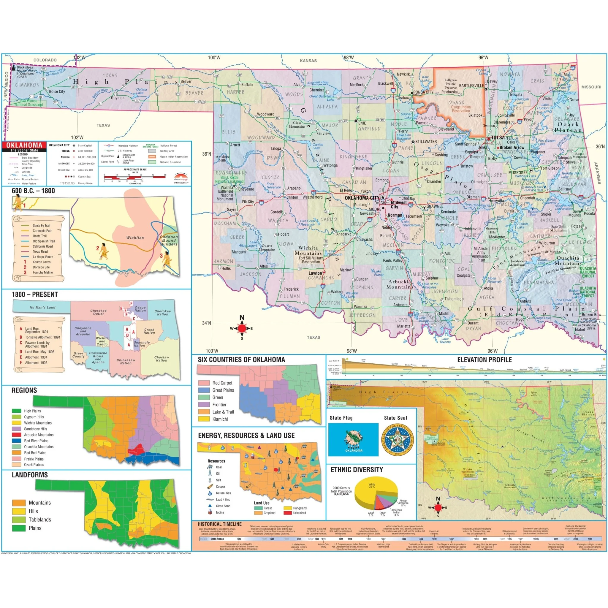
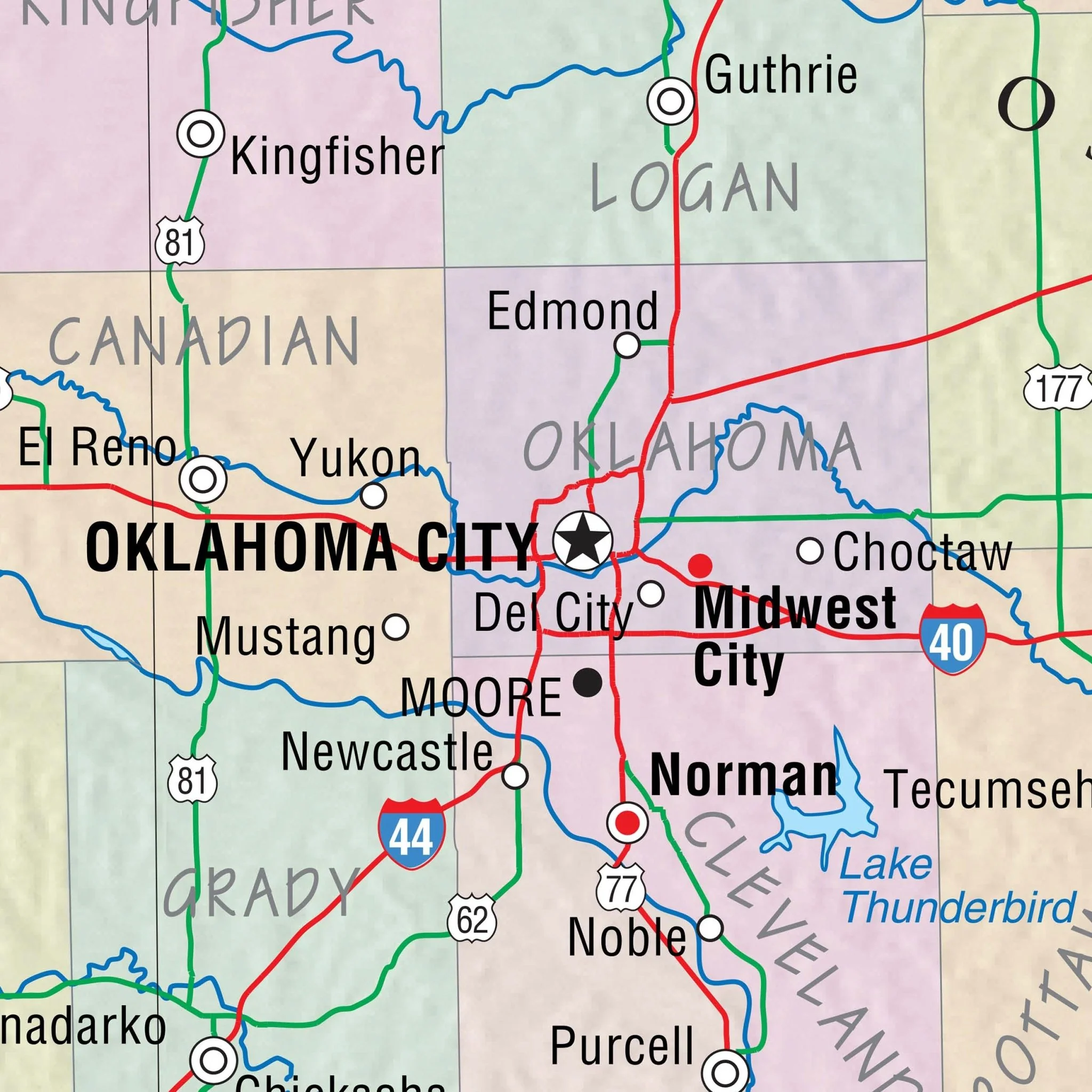
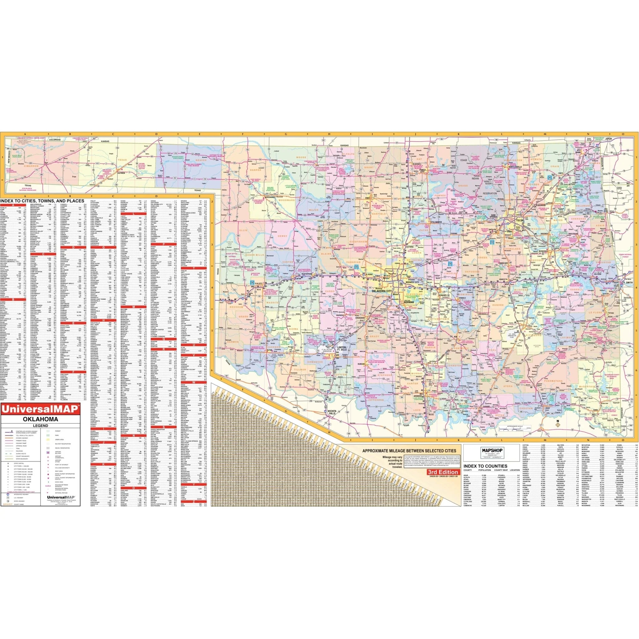
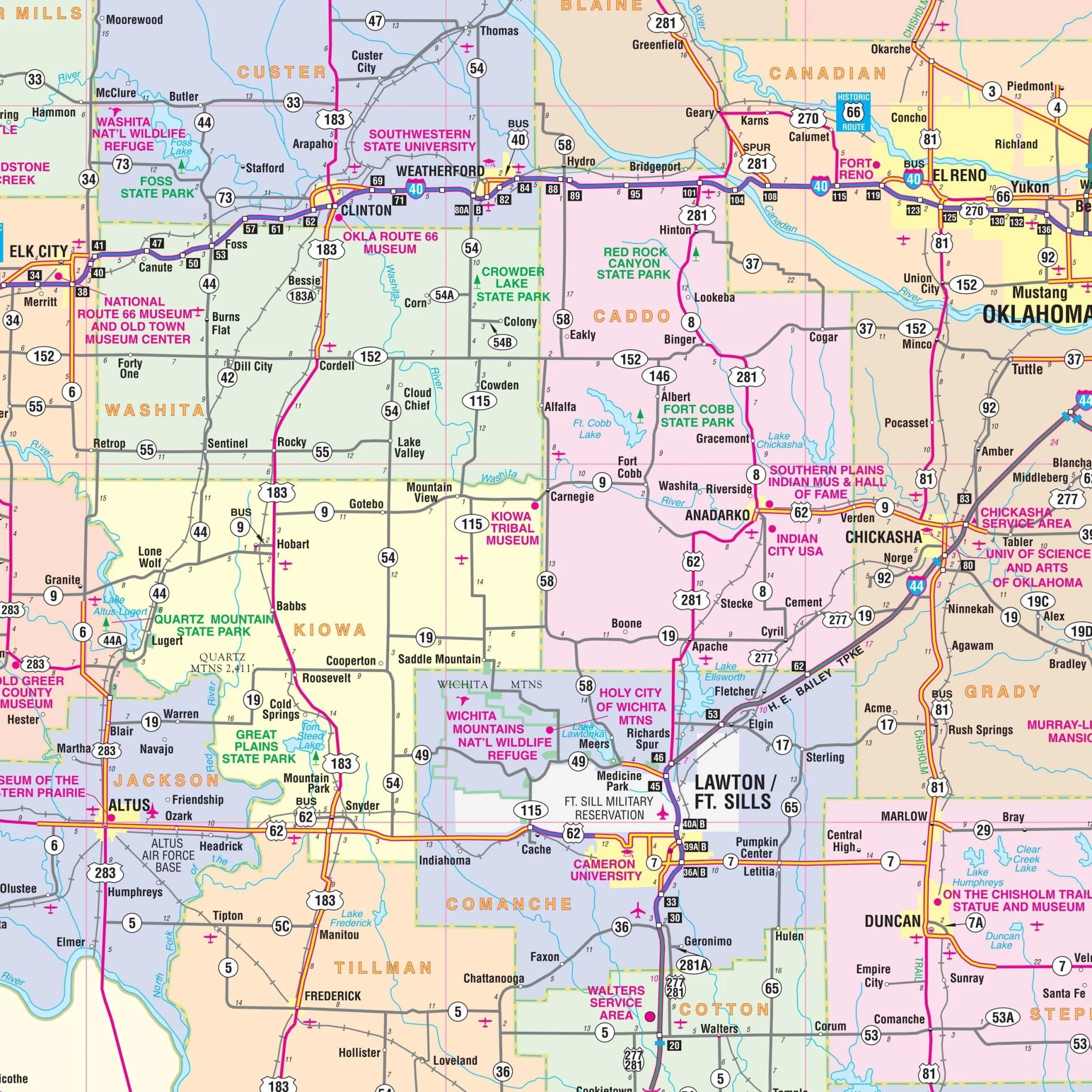
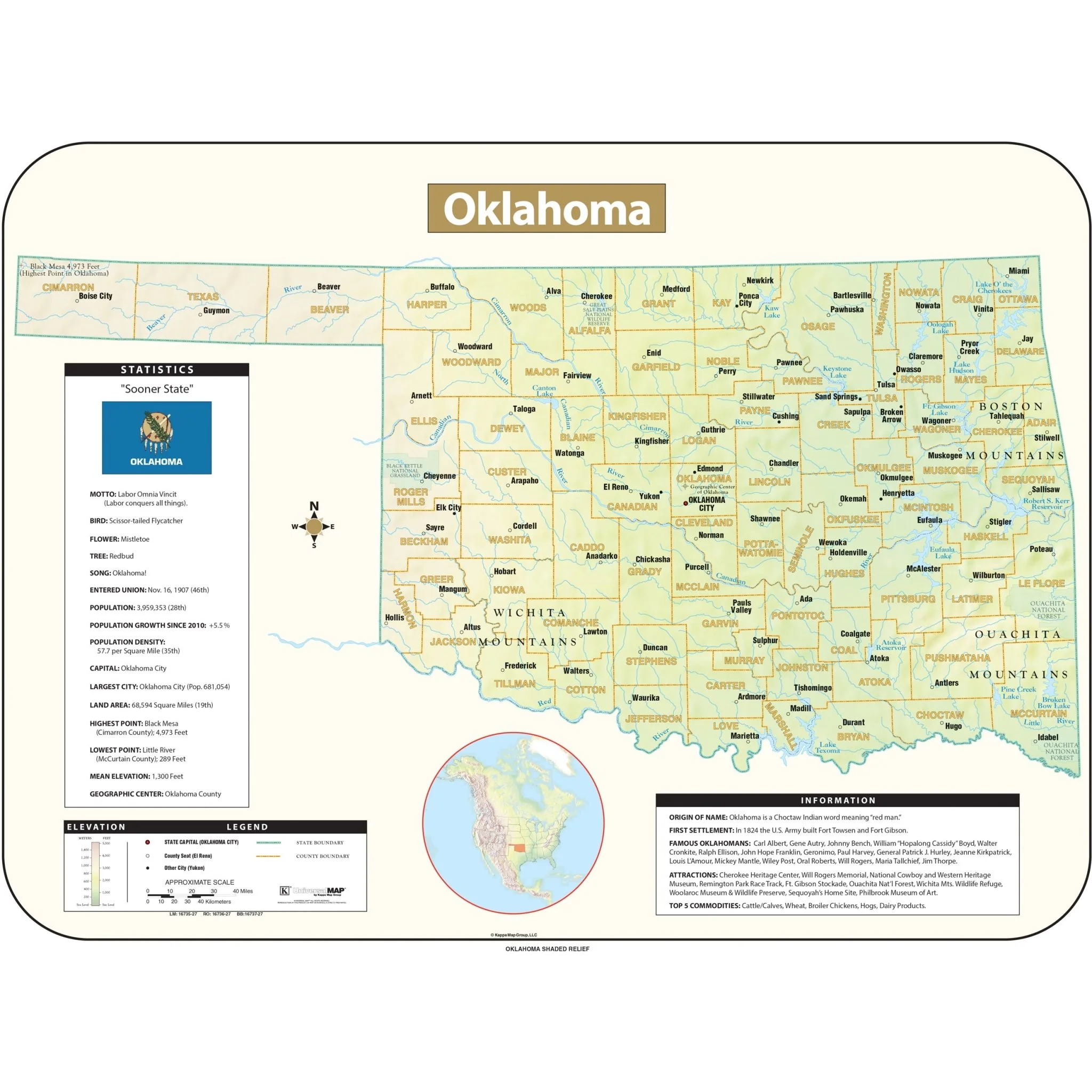
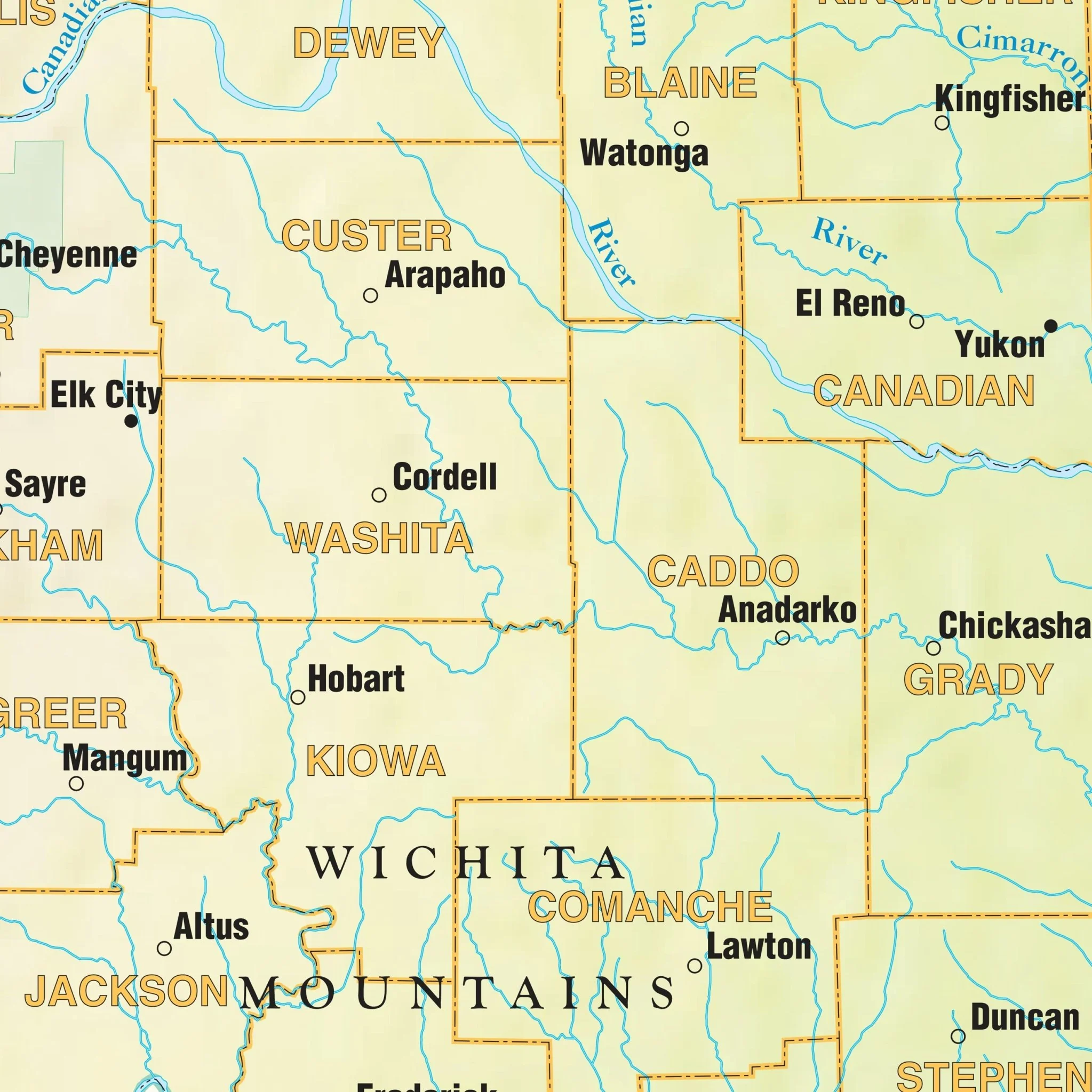
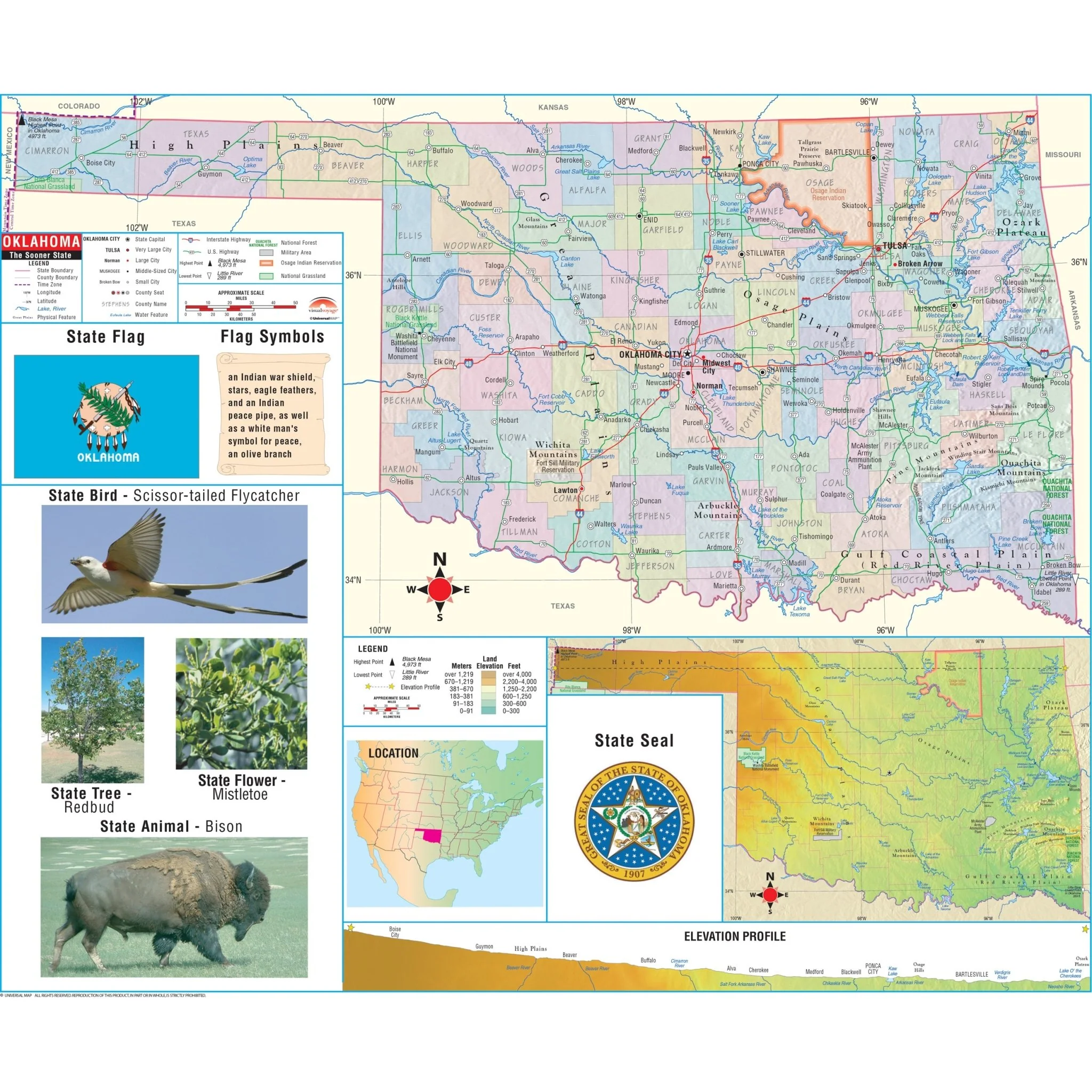
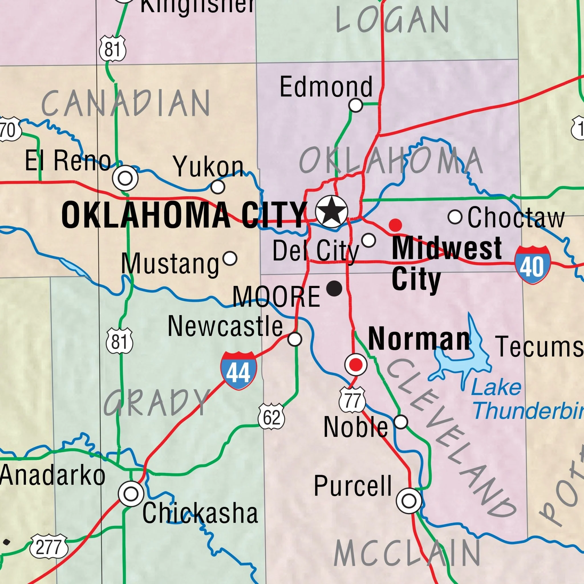
The Oklahoma State Primary Thematic Wall Map is the perfect teaching aid for state studies and related subjects. Political/physical maps with hypsometric colorations; shows county boundaries, interstate highways, county seats, cities and towns, and state regions. Maps correlate with state standards and curriculum guidelines. 
Primary Thematic Wall Maps feature basic state information; shows the state capital and major cities; state flag, state seal and motto, state tree, flower, and bird. This product is ideal for public, private, parochial, and home schools.
Size: 64" x 54"
Published: 2000
Product Information
Product Information
Shipping & Returns
Shipping & Returns
Description
The Oklahoma State Primary Thematic Wall Map is the perfect teaching aid for state studies and related subjects. Political/physical maps with hypsometric colorations; shows county boundaries, interstate highways, county seats, cities and towns, and state regions. Maps correlate with state standards and curriculum guidelines. 
Primary Thematic Wall Maps feature basic state information; shows the state capital and major cities; state flag, state seal and motto, state tree, flower, and bird. This product is ideal for public, private, parochial, and home schools.
Size: 64" x 54"
Published: 2000