


Provo, UT Wall Map
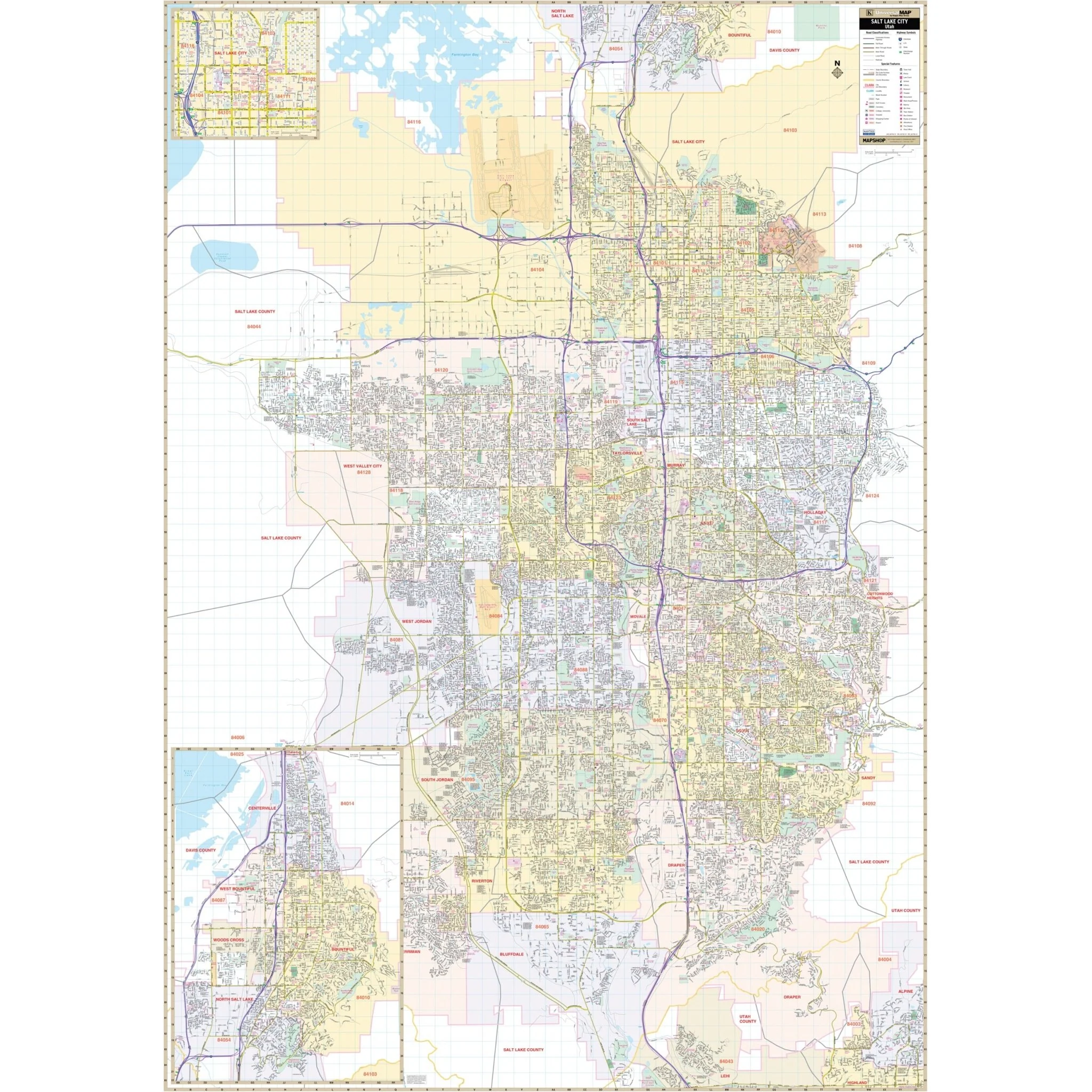
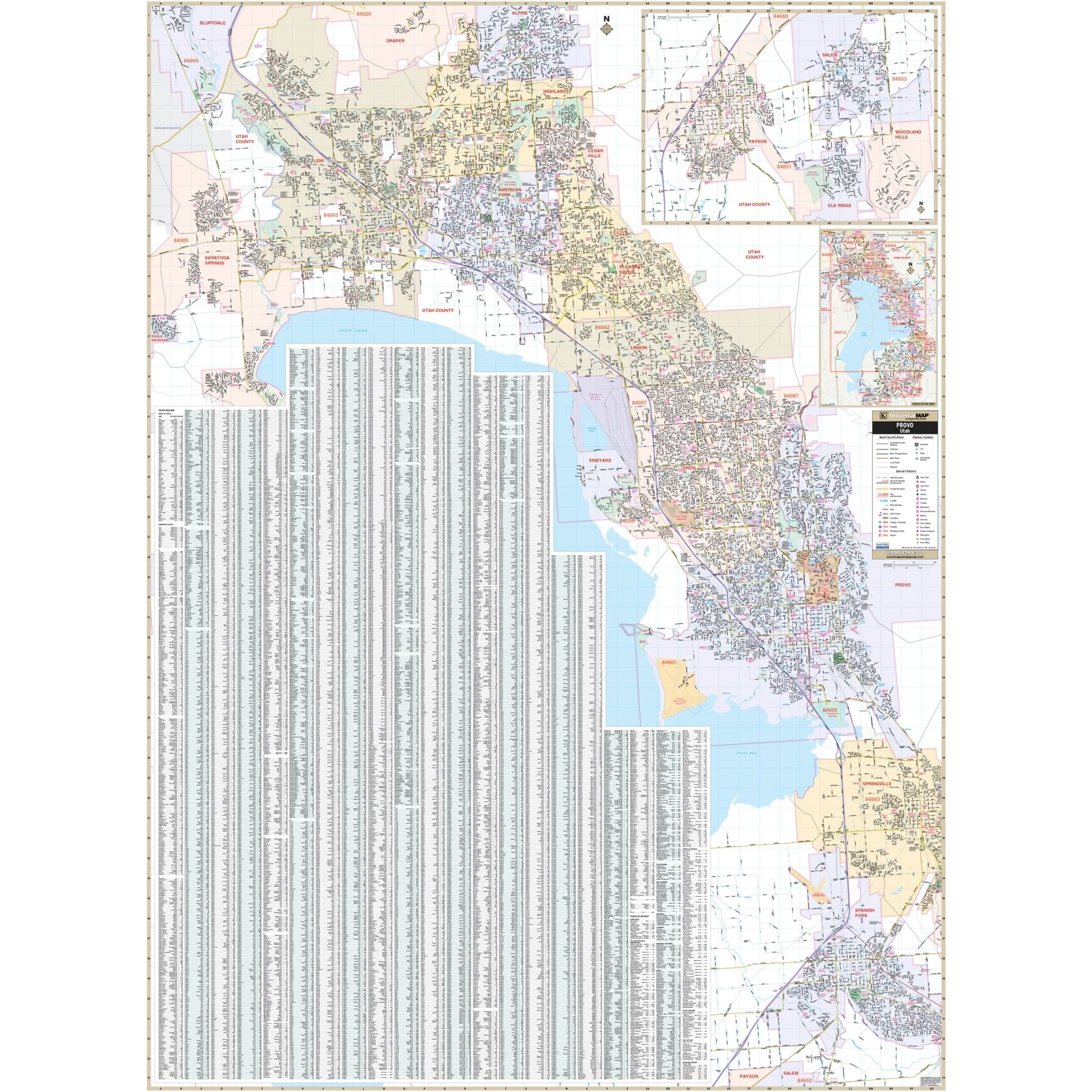
The Provo, UT Wall Map by Kappa Map Group offers complete street detail without specific measurements. The area of coverage includes:
- North: Extends to the City of Alpine
- South: Covers the City of Salem
- East: Encompasses Uinta National Forest
- West: Includes the City of Eagle Mountain
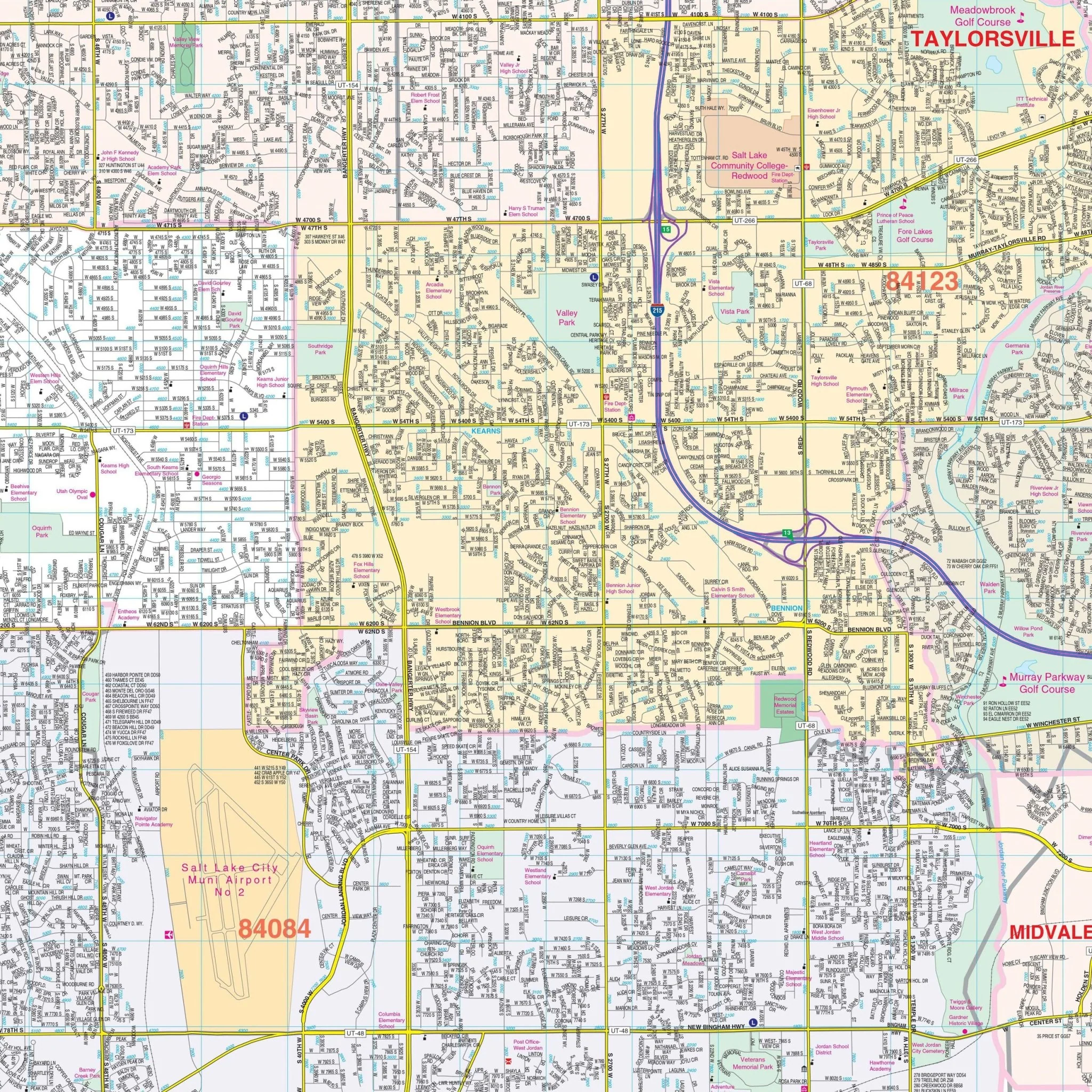
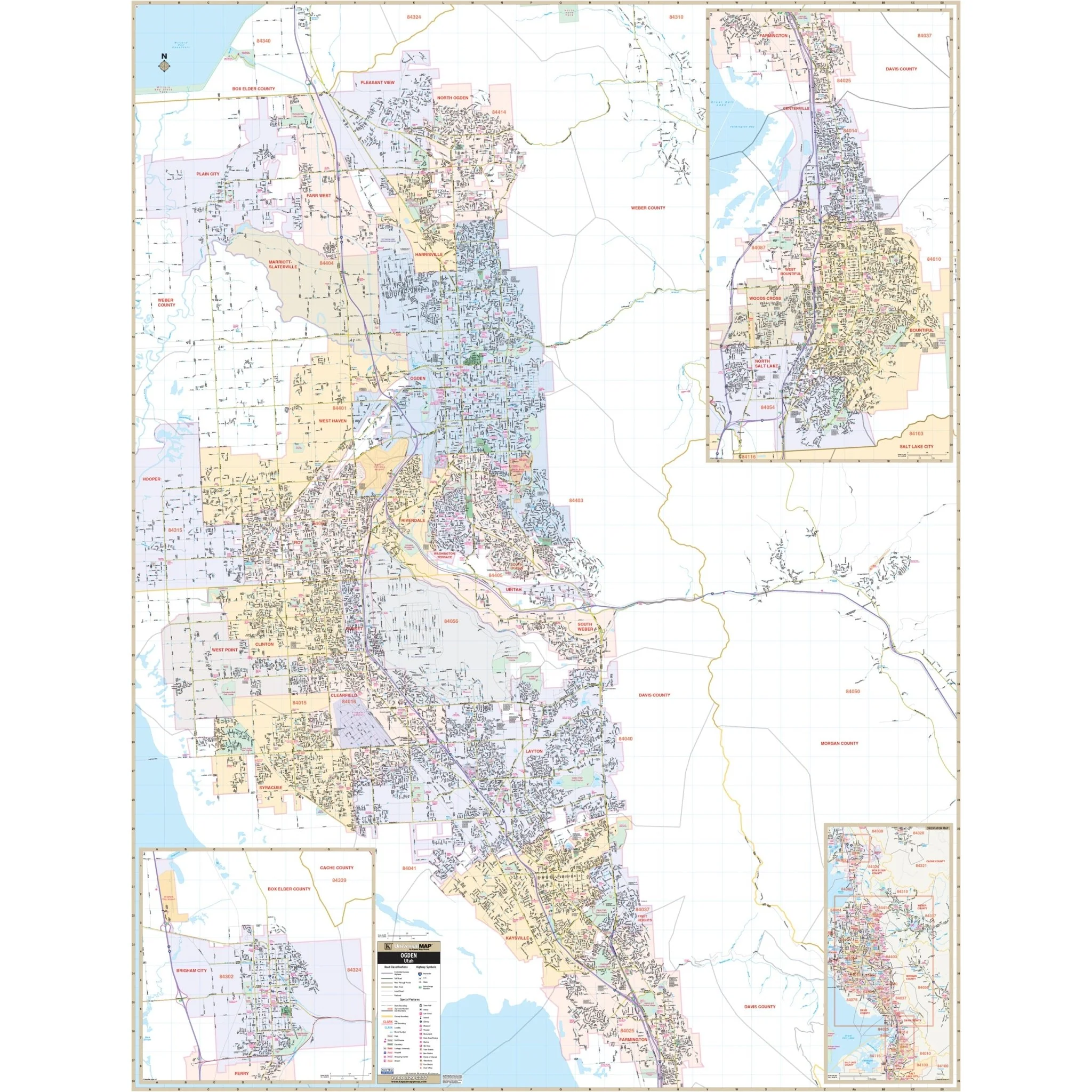
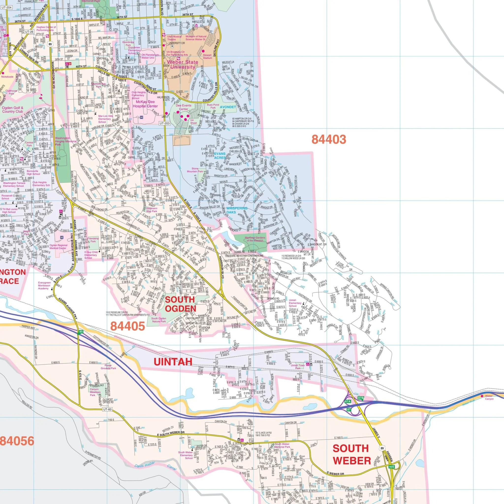
This map also features a detailed inset of the City of Salem, Elk Ridge, Woodland Hills & Payson area, along with a vicinity map of the Provo area. Other included details are airports, post offices, hospitals, libraries, railroads, points of interest, mileage circles, longitude and latitude lines, all streets and highways, cemeteries, shopping centers, water features, recreational parks, block numbers, government buildings, fire and police stations, educational facilities, golf courses and country clubs, ZIP codes and their boundaries, and city limits and annexations.
Size: 54" x 73.25"
Published: 2010
Original: $149.99
-70%$149.99
$45.00Product Information
Product Information
Shipping & Returns
Shipping & Returns
Description
The Provo, UT Wall Map by Kappa Map Group offers complete street detail without specific measurements. The area of coverage includes:
- North: Extends to the City of Alpine
- South: Covers the City of Salem
- East: Encompasses Uinta National Forest
- West: Includes the City of Eagle Mountain
This map also features a detailed inset of the City of Salem, Elk Ridge, Woodland Hills & Payson area, along with a vicinity map of the Provo area. Other included details are airports, post offices, hospitals, libraries, railroads, points of interest, mileage circles, longitude and latitude lines, all streets and highways, cemeteries, shopping centers, water features, recreational parks, block numbers, government buildings, fire and police stations, educational facilities, golf courses and country clubs, ZIP codes and their boundaries, and city limits and annexations.
Size: 54" x 73.25"
Published: 2010