


Utah State Wall Map
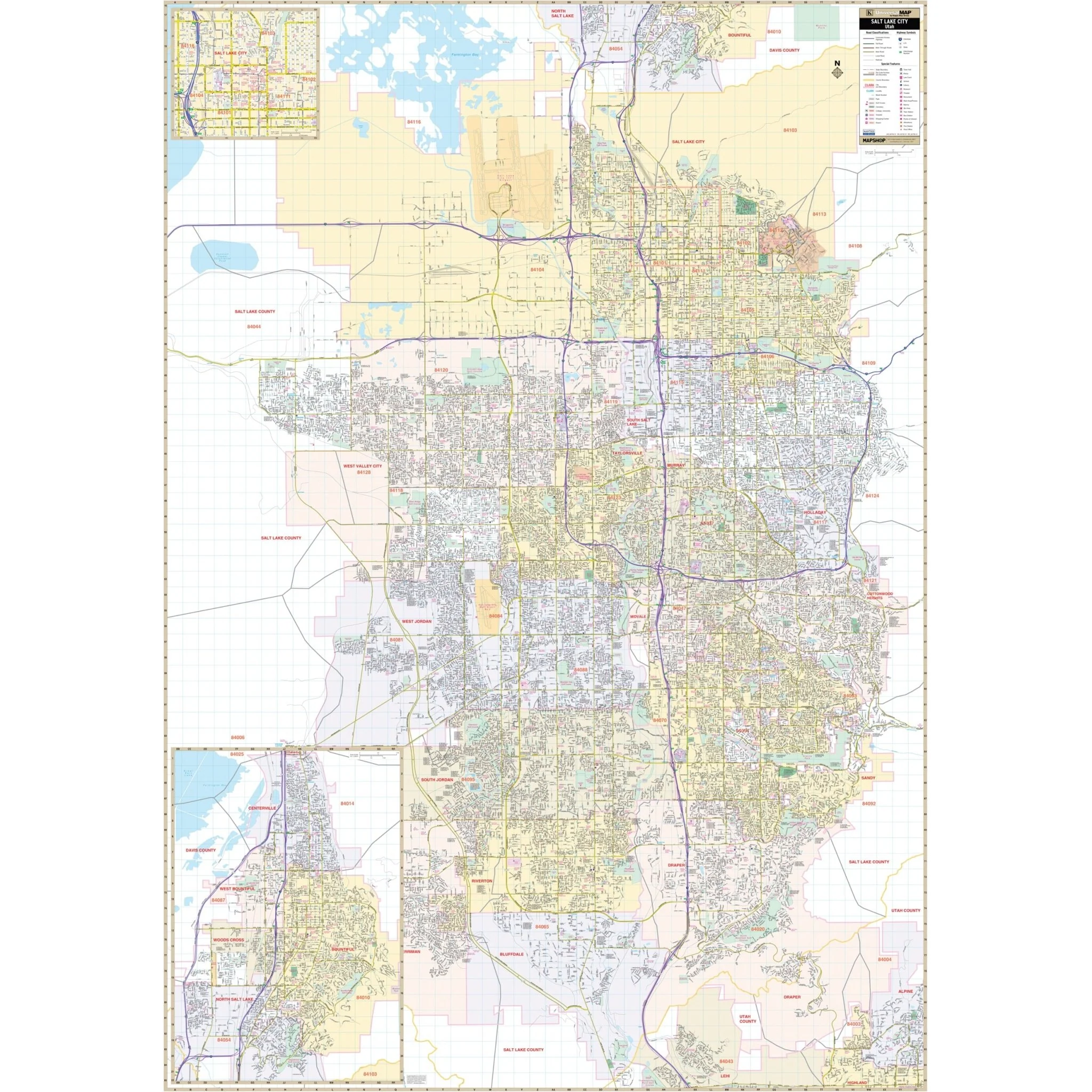
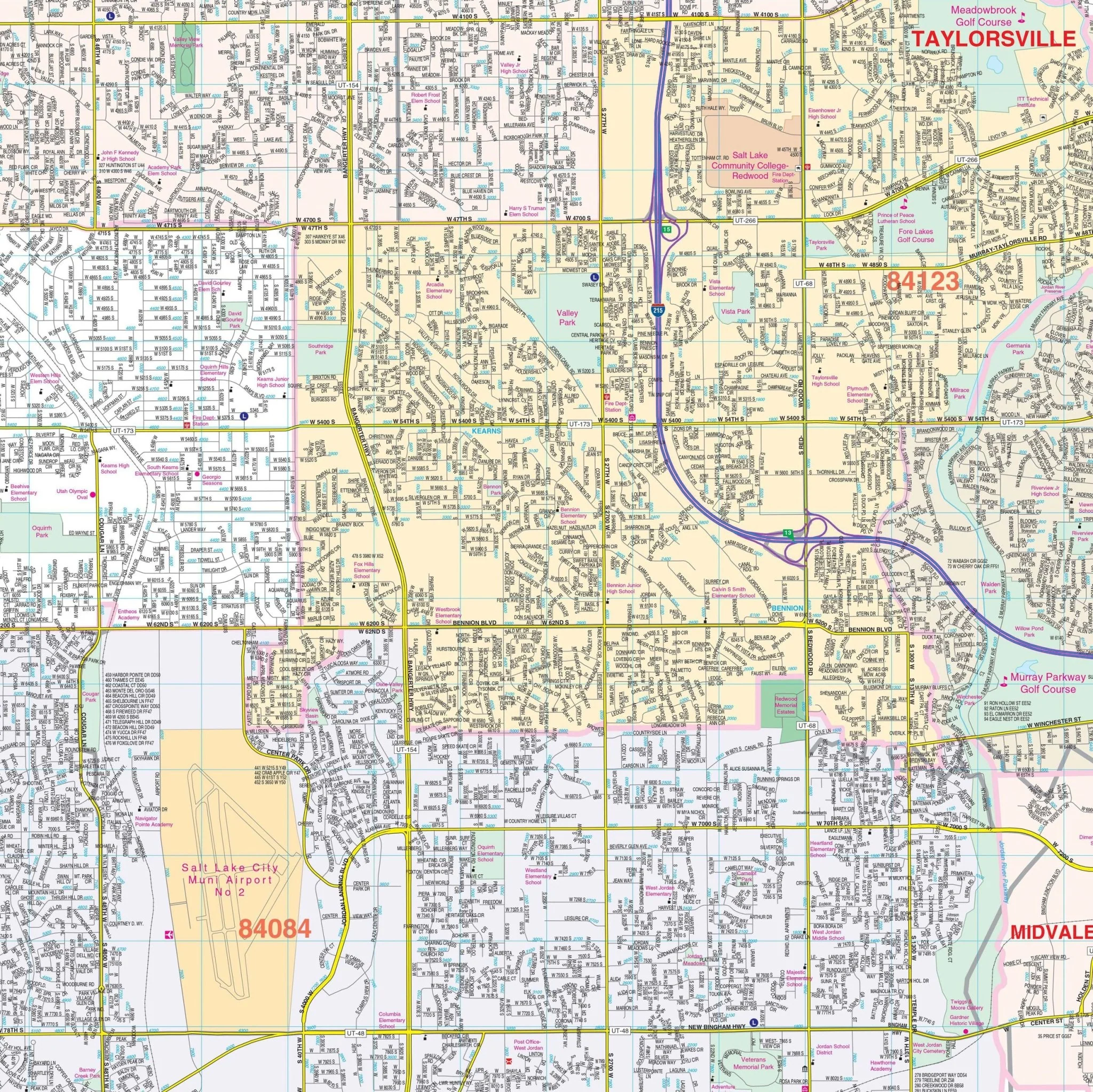
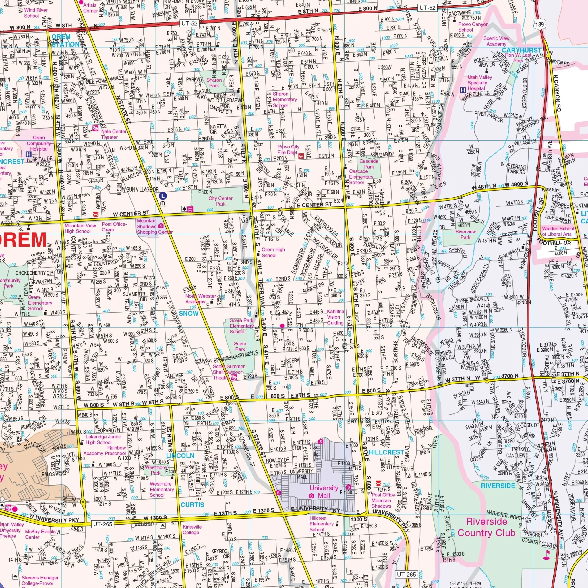
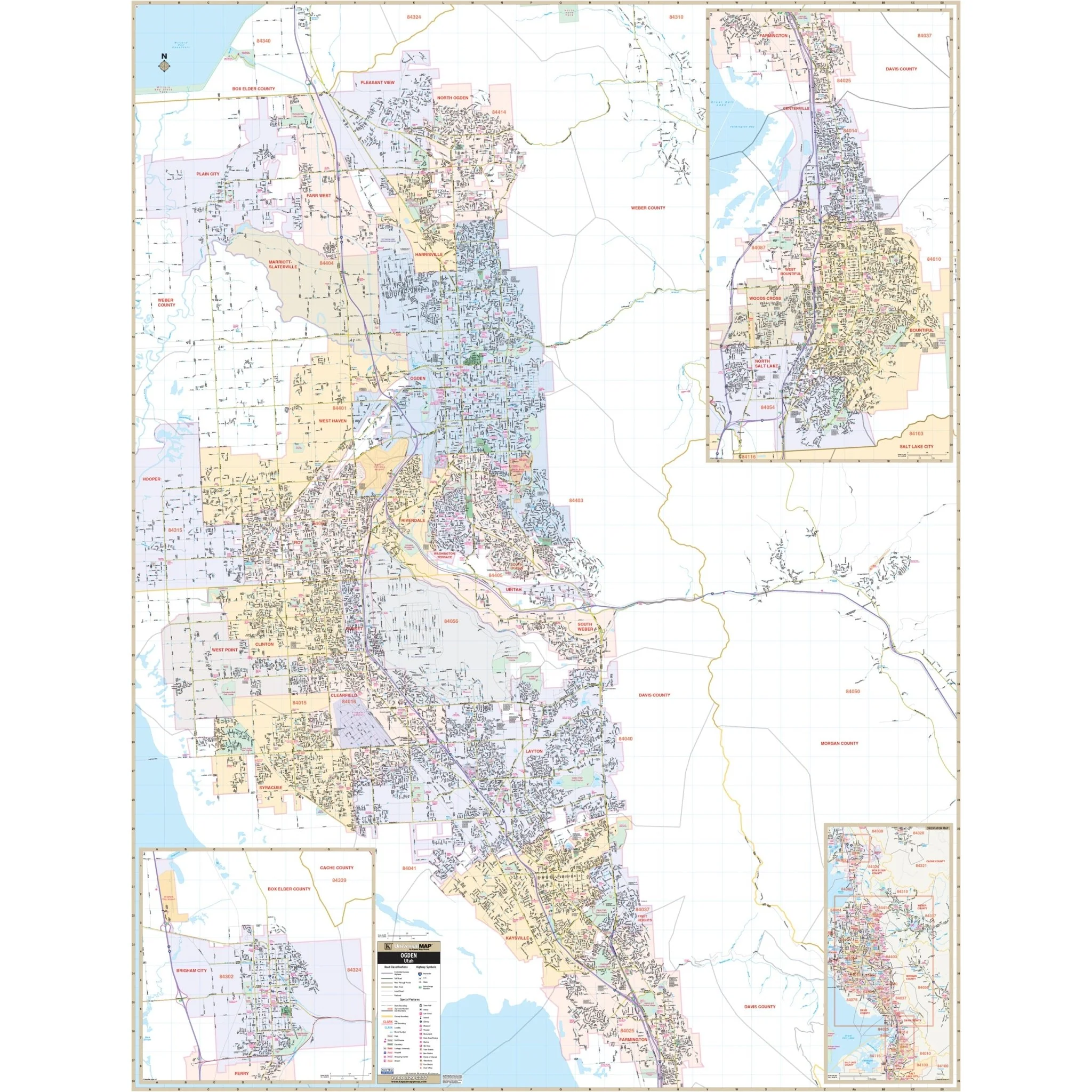
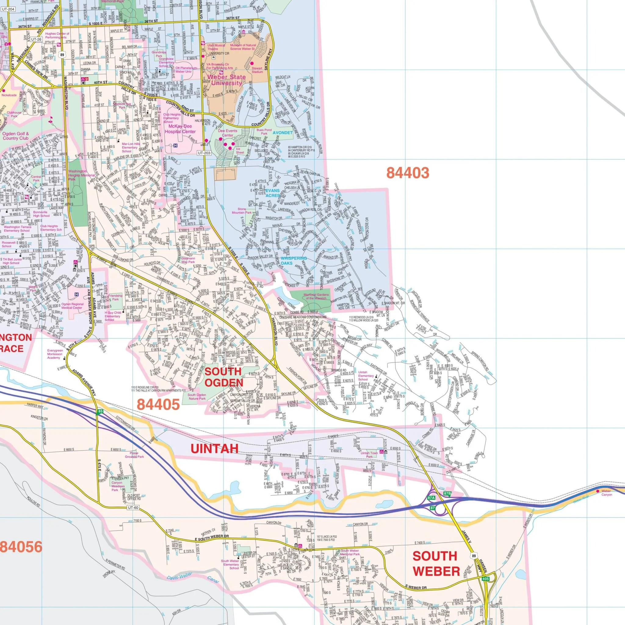
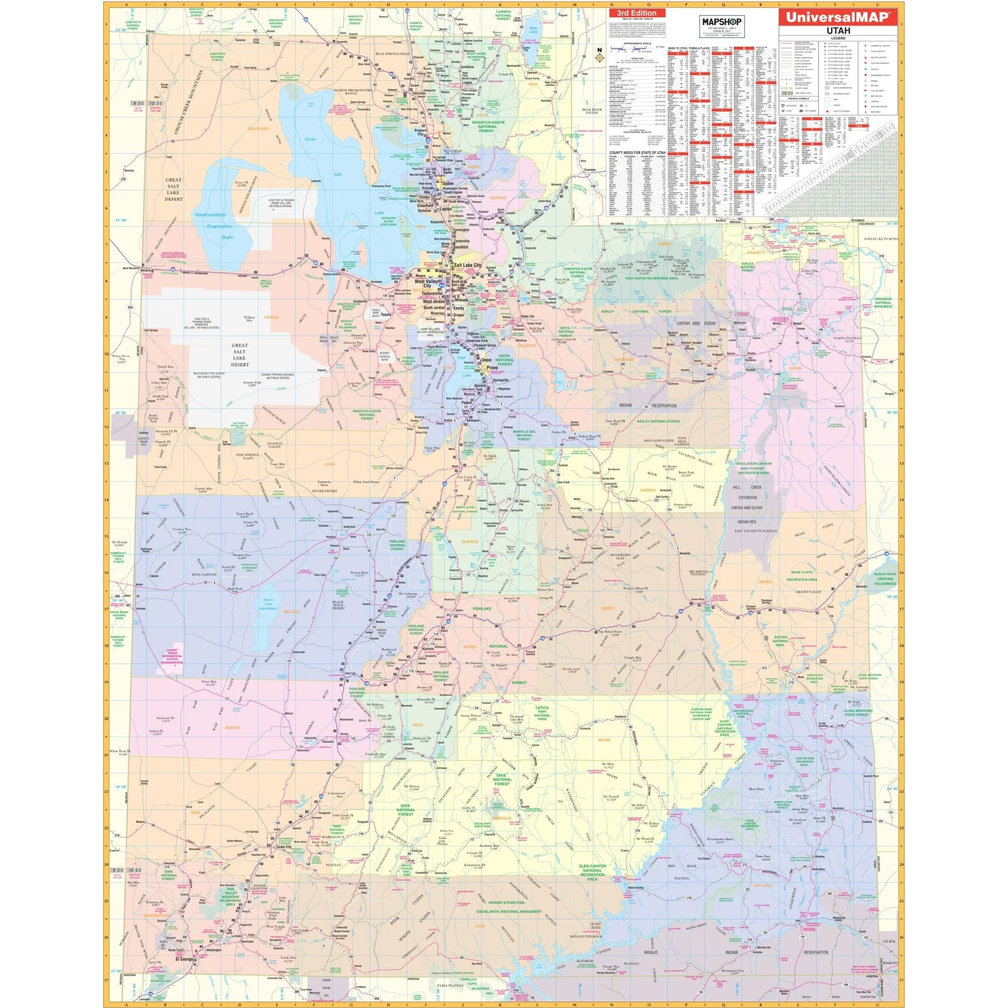
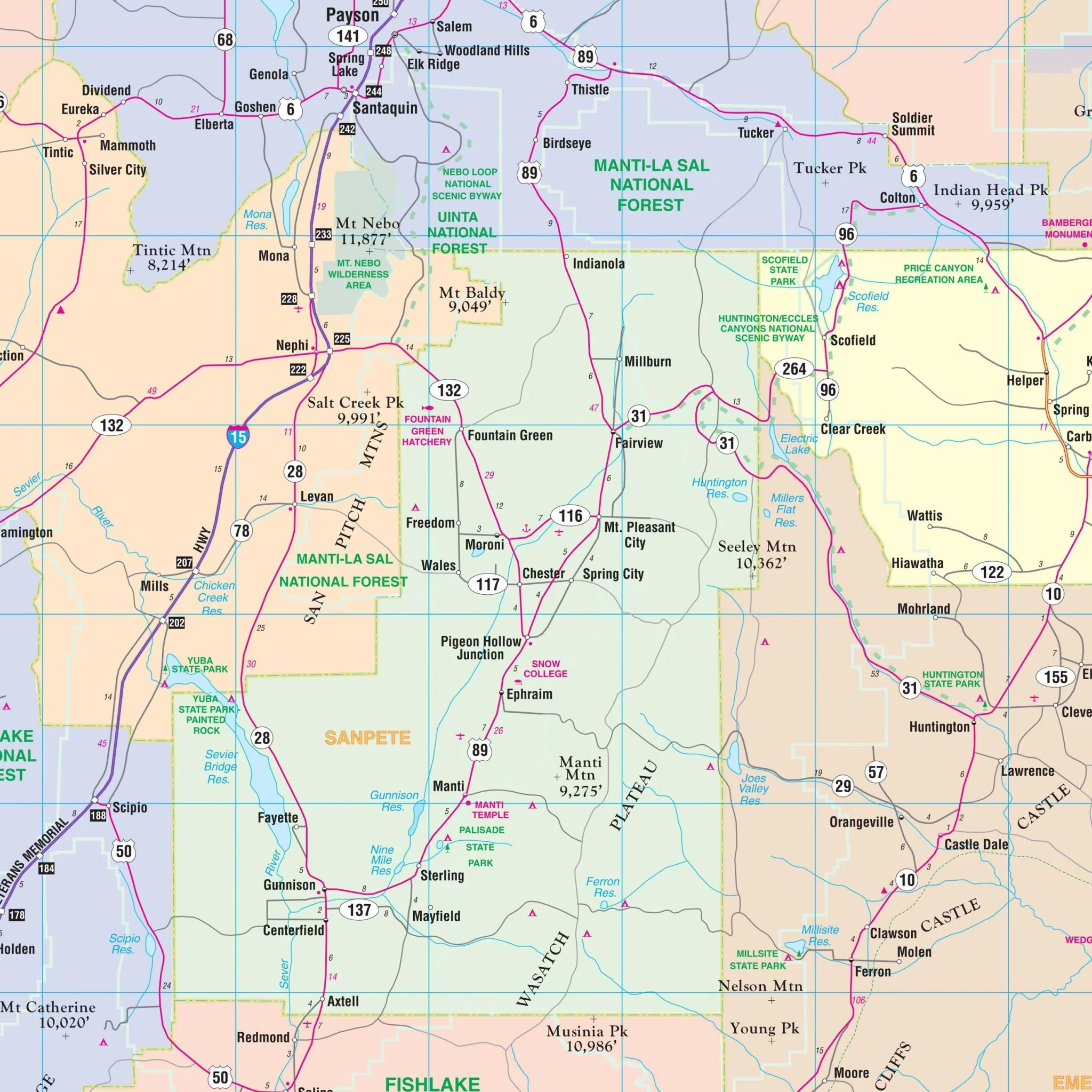
The Utah State Wall Map by Kappa Map Group includes color-coded counties, a mileage chart between major cities, a City/County Index on the face of the map, a State of Utah fact Index, and a Discover Utah Index of Parks and Historical Sites. Details encompass all state highways, all federal highways, major waterways, state universities, military installations, major airports, wildlife areas, cities, state parks, county names, time zones, and numerous points of interest. Insets are provided for key areas, adding to the map's utility for residents, travelers, educators, and professionals seeking a comprehensive view of Utah's geographical layout, infrastructure, and key locations.
Size: 54" x 69"
Published: 2013
Original: $149.99
-70%$149.99
$45.00Product Information
Product Information
Shipping & Returns
Shipping & Returns
Description
The Utah State Wall Map by Kappa Map Group includes color-coded counties, a mileage chart between major cities, a City/County Index on the face of the map, a State of Utah fact Index, and a Discover Utah Index of Parks and Historical Sites. Details encompass all state highways, all federal highways, major waterways, state universities, military installations, major airports, wildlife areas, cities, state parks, county names, time zones, and numerous points of interest. Insets are provided for key areas, adding to the map's utility for residents, travelers, educators, and professionals seeking a comprehensive view of Utah's geographical layout, infrastructure, and key locations.
Size: 54" x 69"
Published: 2013