

Wyoming Shaded Relief State Wall Map
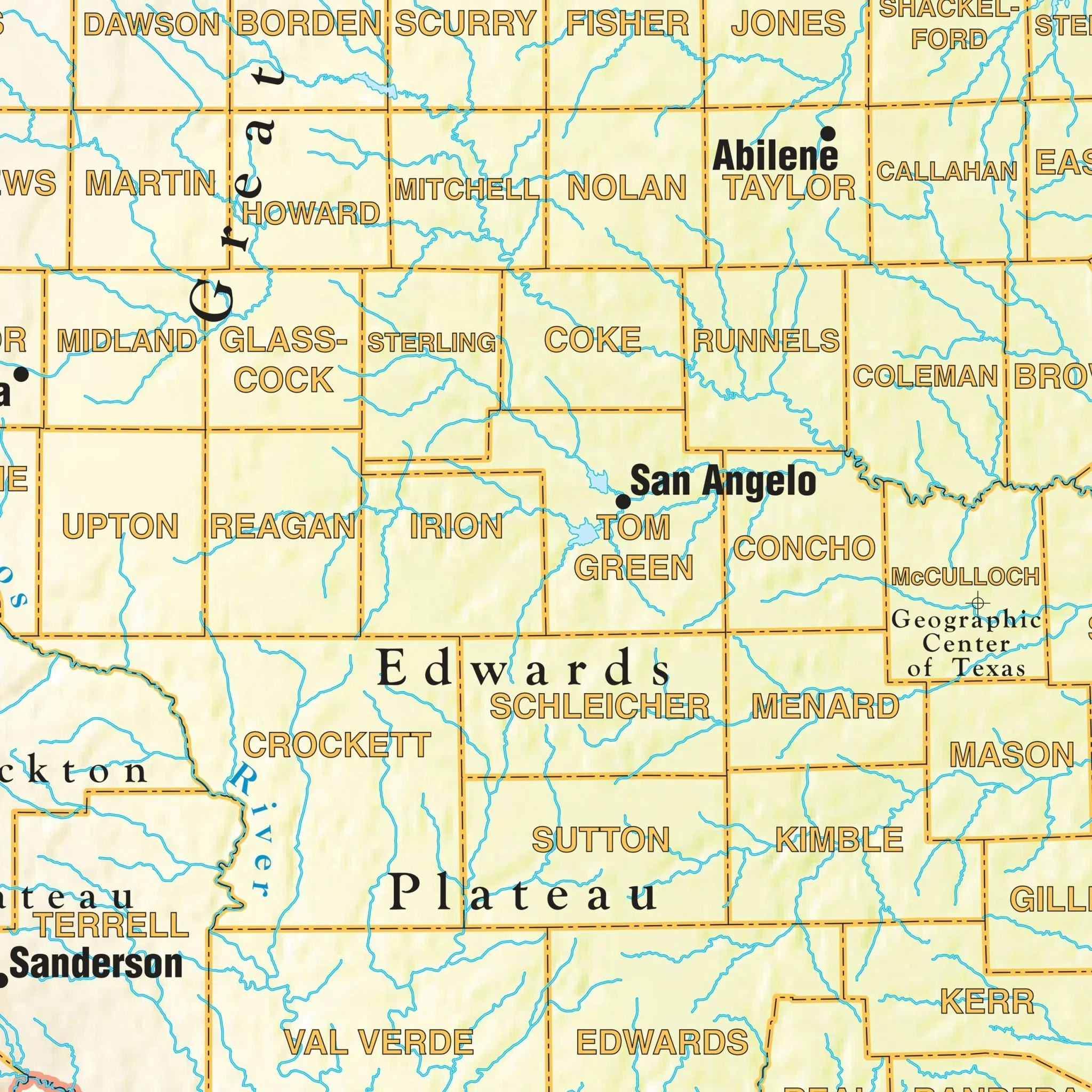
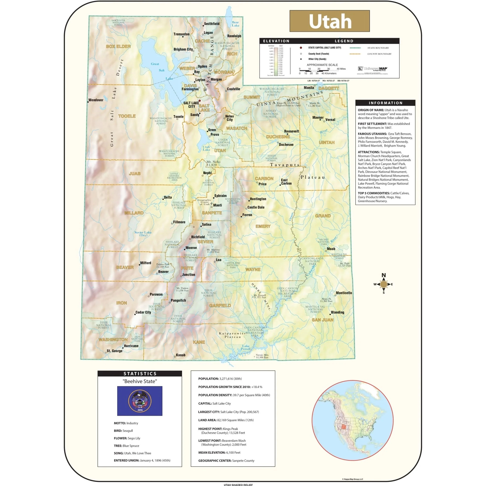
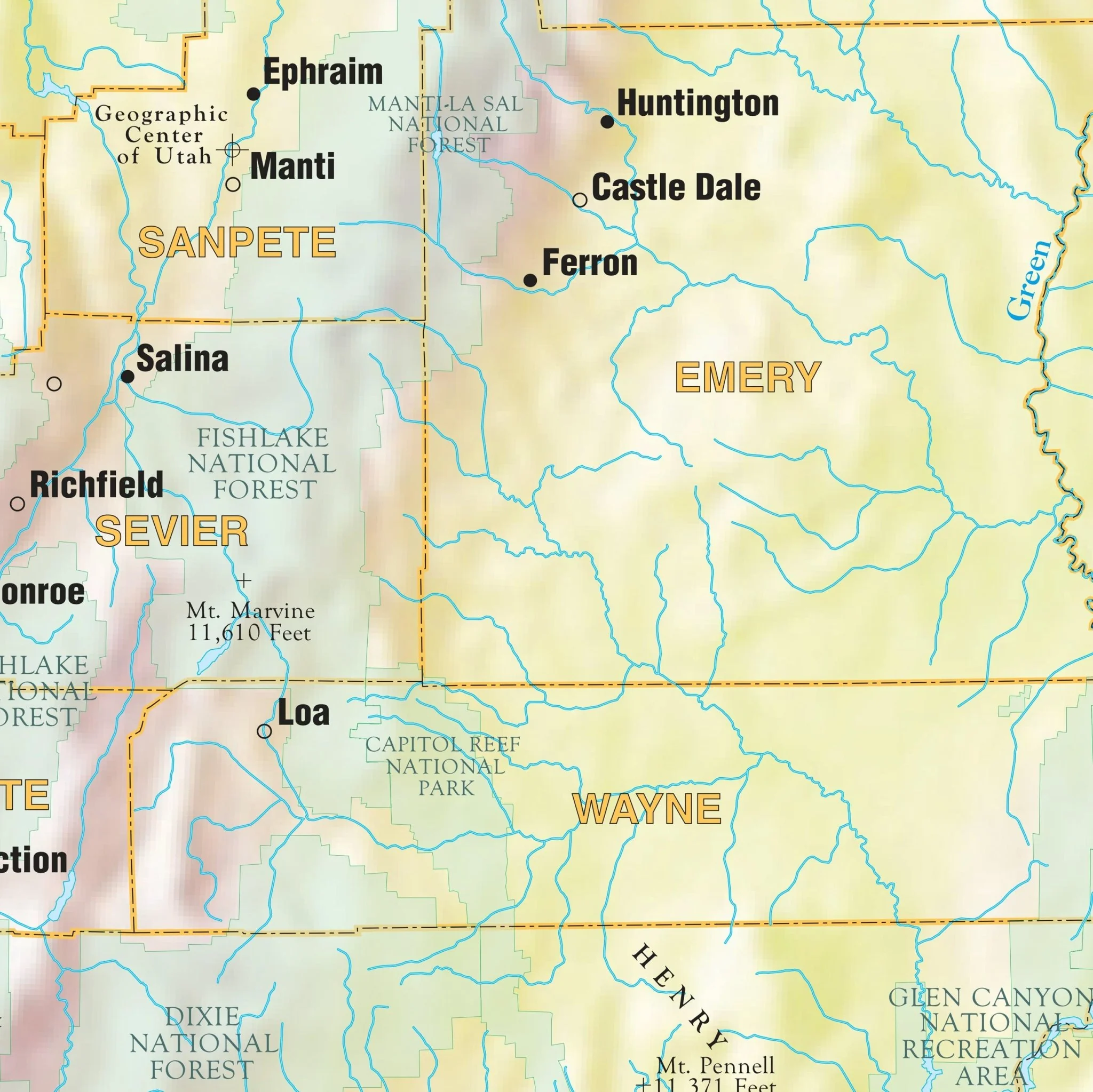
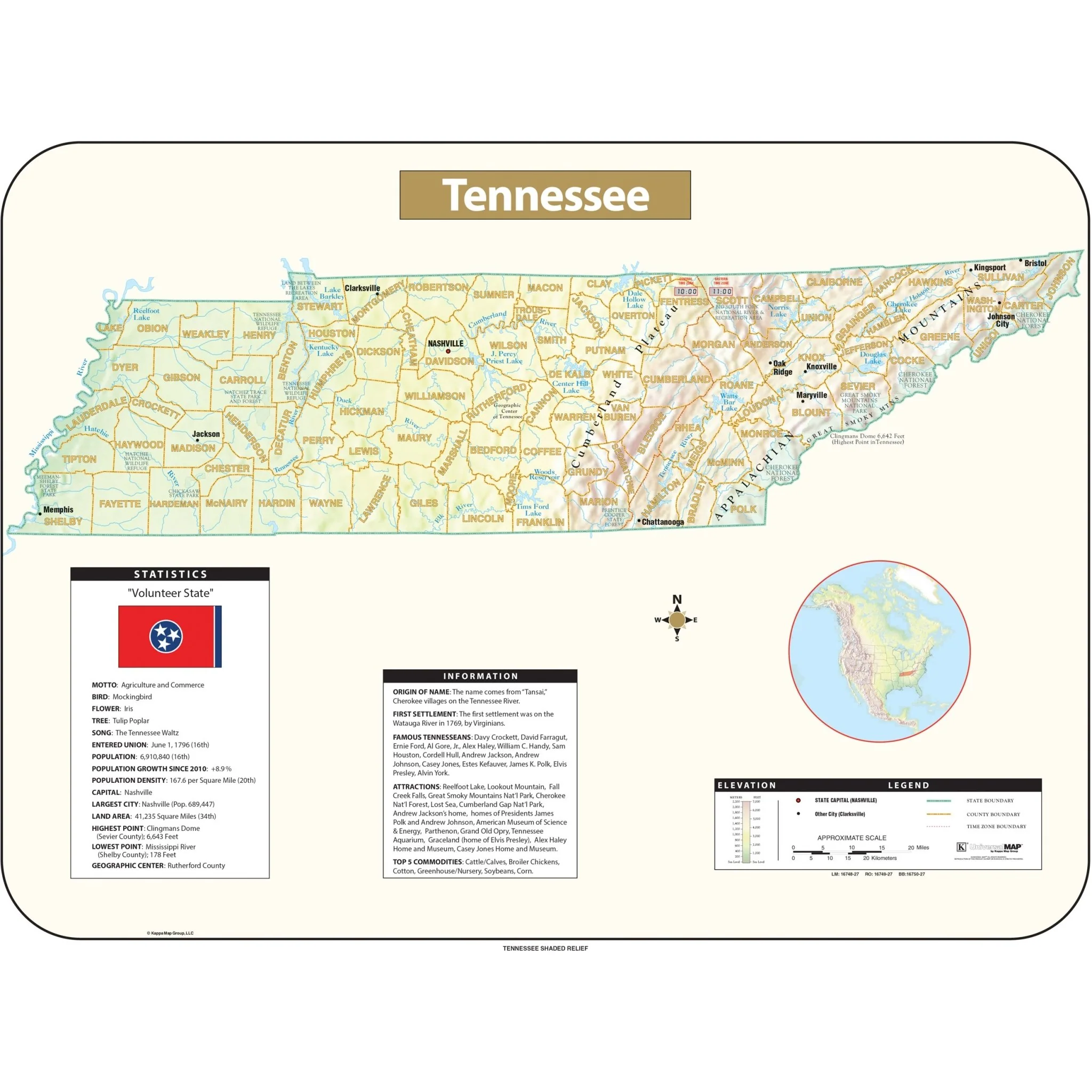
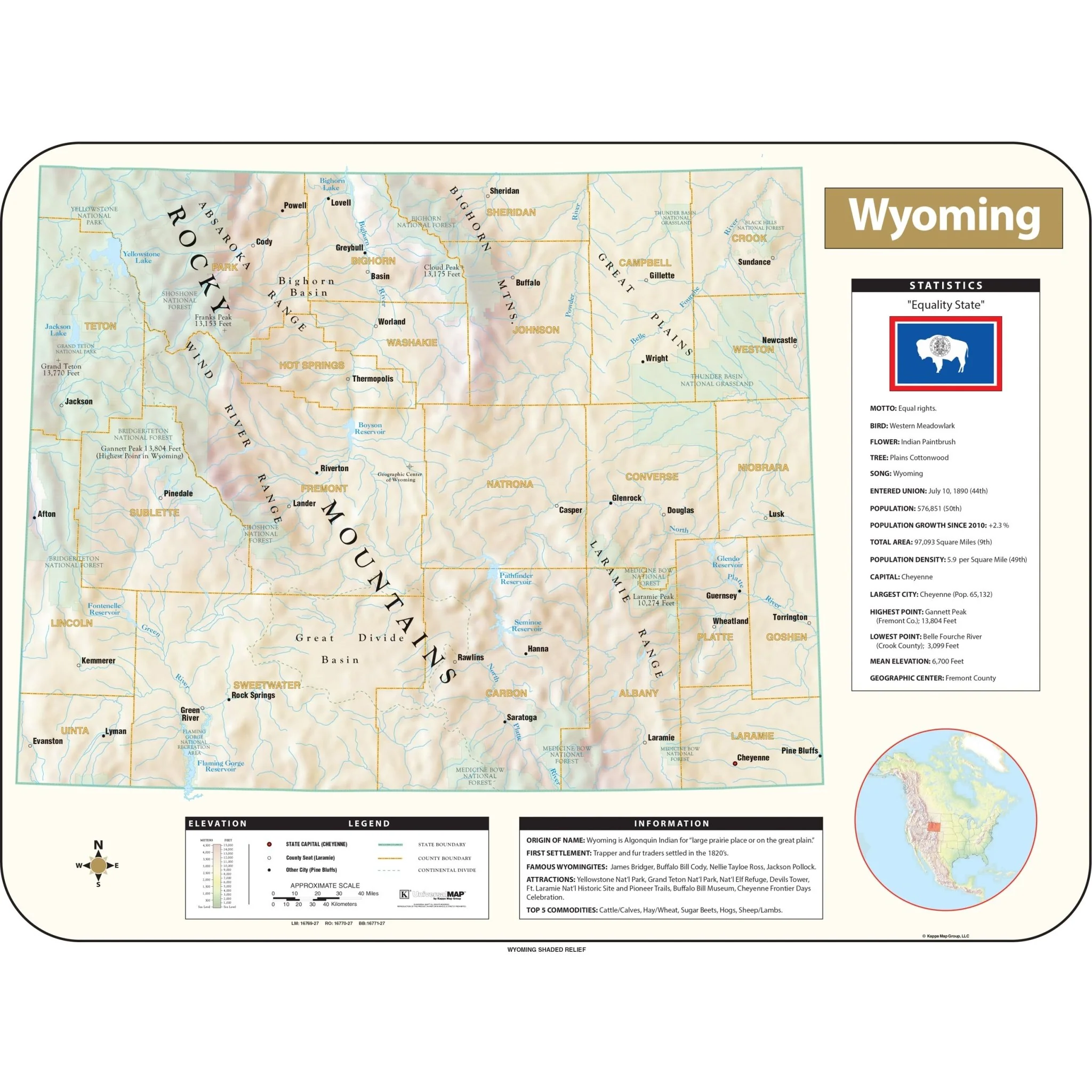
The Wyoming Shaded Relief Topographical Wall Map by Universal Map comes in three sizes. Includes historical, anecdotal, and geographical information, an elevation scale measured in meters and feet, and a distance scale measured in miles and kilometers. Identifies county boundaries, state flag, motto, bird, flower, and tree, plus total area, population, and origin of name. 
Sizes: 63" x 47.5" | 56" x 42" | 38" x 28.5"
Published: 2016
Original: $89.99
-70%$89.99
$27.00Product Information
Product Information
Shipping & Returns
Shipping & Returns
Description
The Wyoming Shaded Relief Topographical Wall Map by Universal Map comes in three sizes. Includes historical, anecdotal, and geographical information, an elevation scale measured in meters and feet, and a distance scale measured in miles and kilometers. Identifies county boundaries, state flag, motto, bird, flower, and tree, plus total area, population, and origin of name. 
Sizes: 63" x 47.5" | 56" x 42" | 38" x 28.5"
Published: 2016