Atlanta, GA Metro Area Wall Map
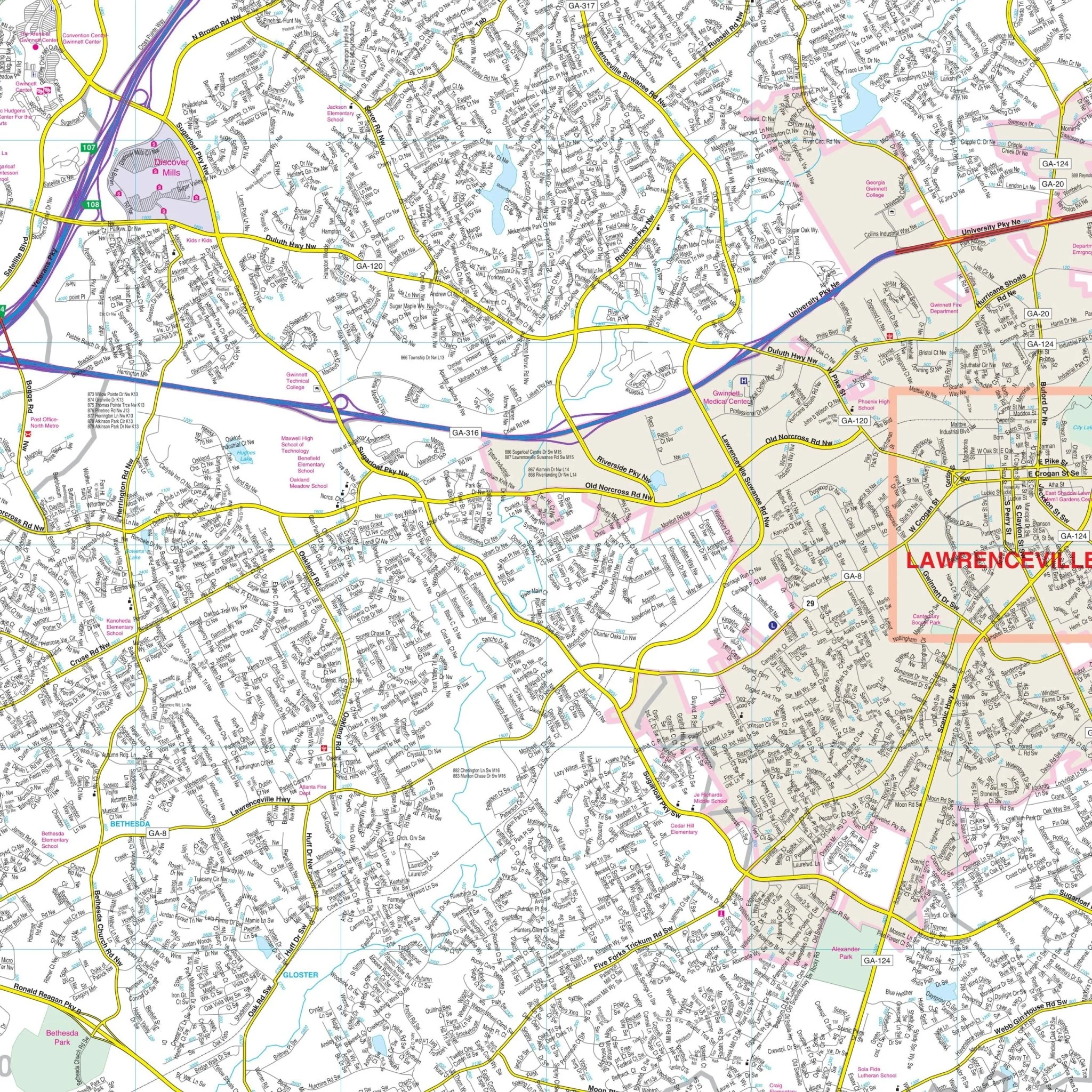
Explore the vibrant and diverse Atlanta, Georgia metropolitan area with this comprehensive wall map. This extensive map covers an expansive region and provides complete street-level detail for your convenience.
The coverage area extends in all directions:
- North: Encompassing Alpharetta, Roswell, and Sugar Hill
- South: Extending to Jonesboro, Fairburn, and Stockbridge
- East: Covering Lawrenceville, Snellville, and Conyers
- West: Including Palmetto, Austell, and Acworth
In addition to its extensive coverage, the Atlanta, GA Metro Wall Map includes a convenient inset map of Downtown Atlanta.
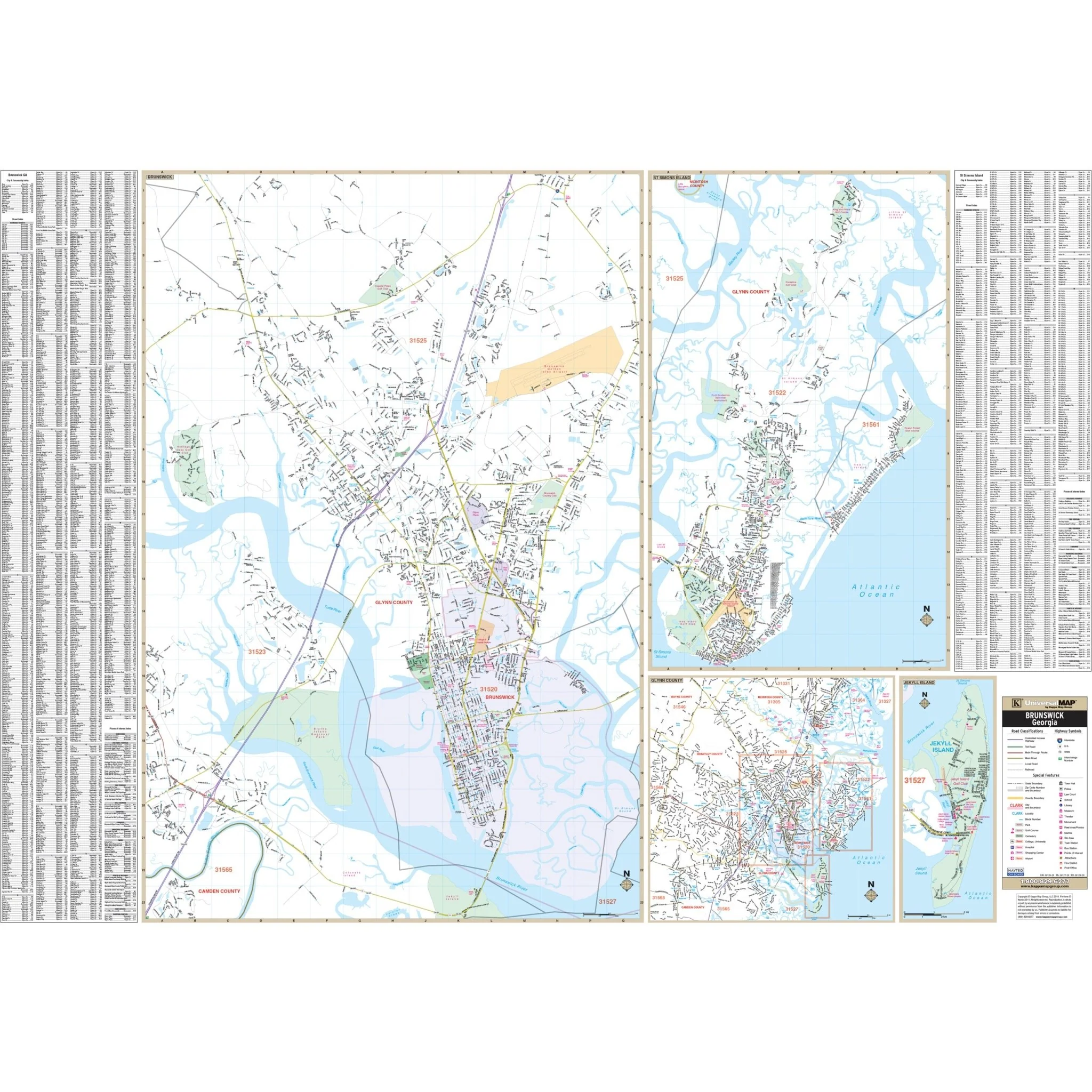
Discover the rich details of this map, including but not limited to all streets, airports, government buildings, post offices, cemeteries, fire and police stations, hospitals, shopping centers, educational institutions, railroads, water features, golf and country clubs, mileage circles, recreational parks, ZIP codes and boundaries, as well as block numbers.
Whether you're a resident, business professional, or visitor, the Atlanta Metro Wall Map is an invaluable resource for exploring the area, navigating the bustling streets, and gaining a comprehensive understanding of Atlanta's geography and infrastructure.
Size: 78" x 78"
Published: 2015
Original: $249.99
-70%$249.99
$75.00Product Information
Product Information
Shipping & Returns
Shipping & Returns
Description
Explore the vibrant and diverse Atlanta, Georgia metropolitan area with this comprehensive wall map. This extensive map covers an expansive region and provides complete street-level detail for your convenience.
The coverage area extends in all directions:
- North: Encompassing Alpharetta, Roswell, and Sugar Hill
- South: Extending to Jonesboro, Fairburn, and Stockbridge
- East: Covering Lawrenceville, Snellville, and Conyers
- West: Including Palmetto, Austell, and Acworth
In addition to its extensive coverage, the Atlanta, GA Metro Wall Map includes a convenient inset map of Downtown Atlanta.
Discover the rich details of this map, including but not limited to all streets, airports, government buildings, post offices, cemeteries, fire and police stations, hospitals, shopping centers, educational institutions, railroads, water features, golf and country clubs, mileage circles, recreational parks, ZIP codes and boundaries, as well as block numbers.
Whether you're a resident, business professional, or visitor, the Atlanta Metro Wall Map is an invaluable resource for exploring the area, navigating the bustling streets, and gaining a comprehensive understanding of Atlanta's geography and infrastructure.
Size: 78" x 78"
Published: 2015