Valdosta & Lowndes County, GA Wall Map
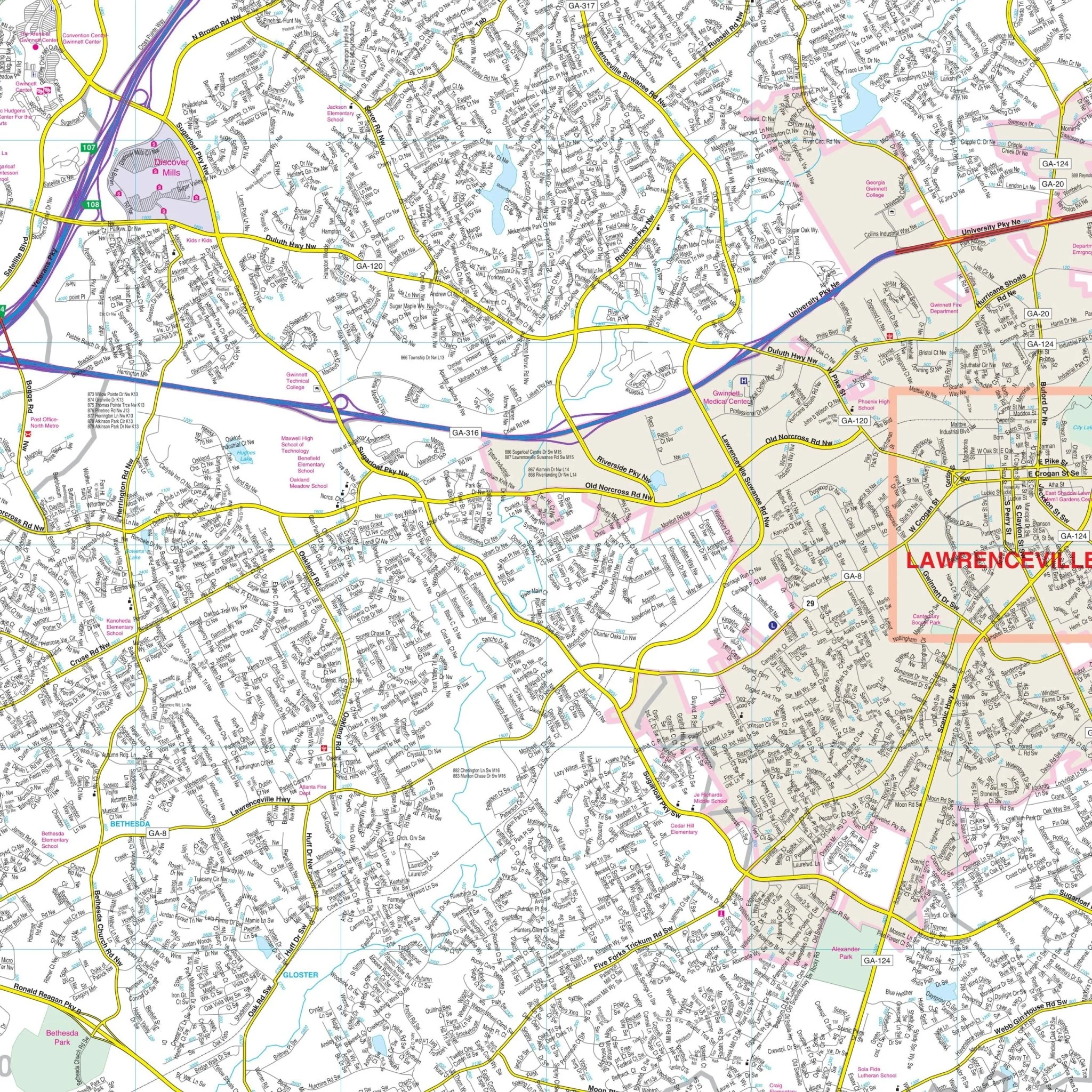
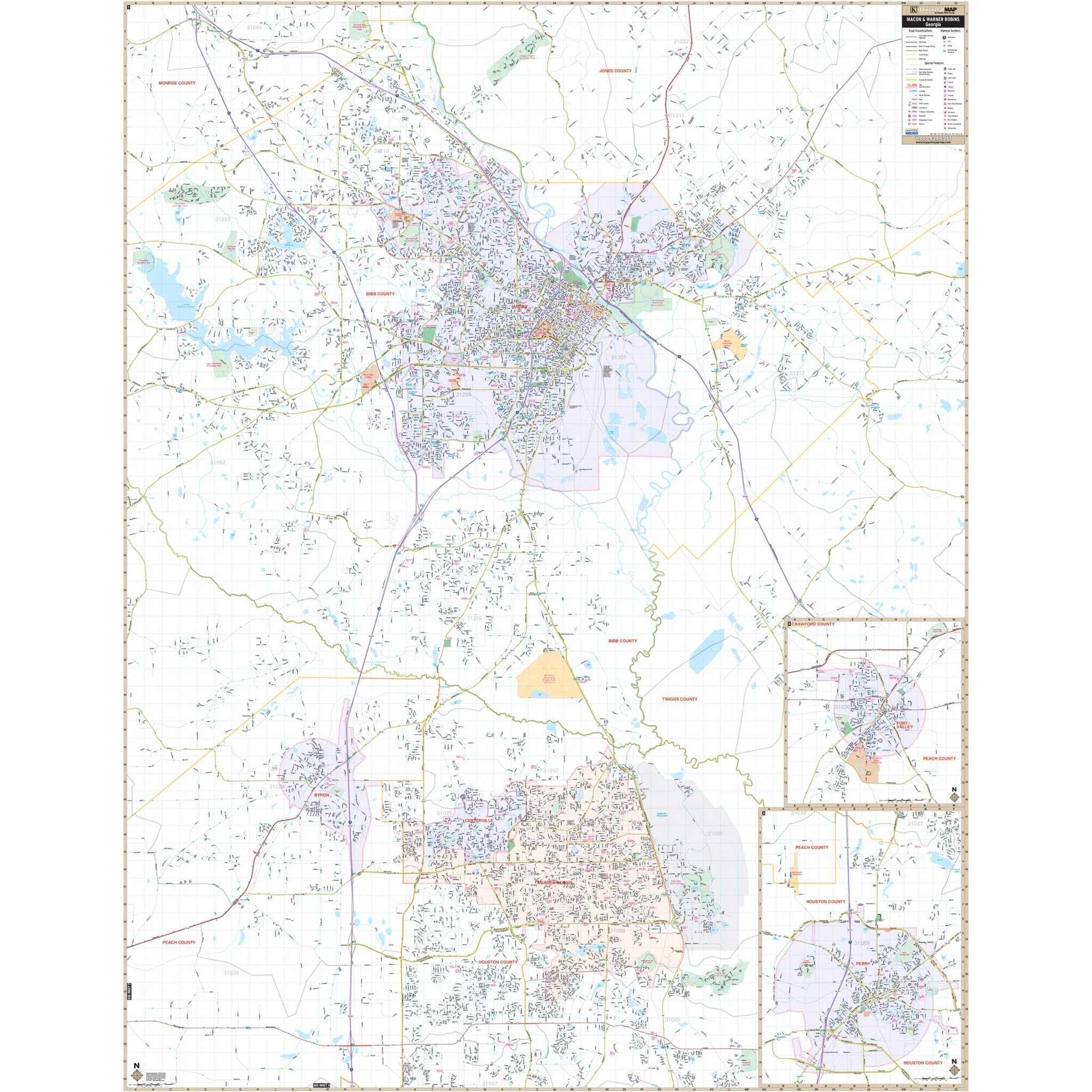
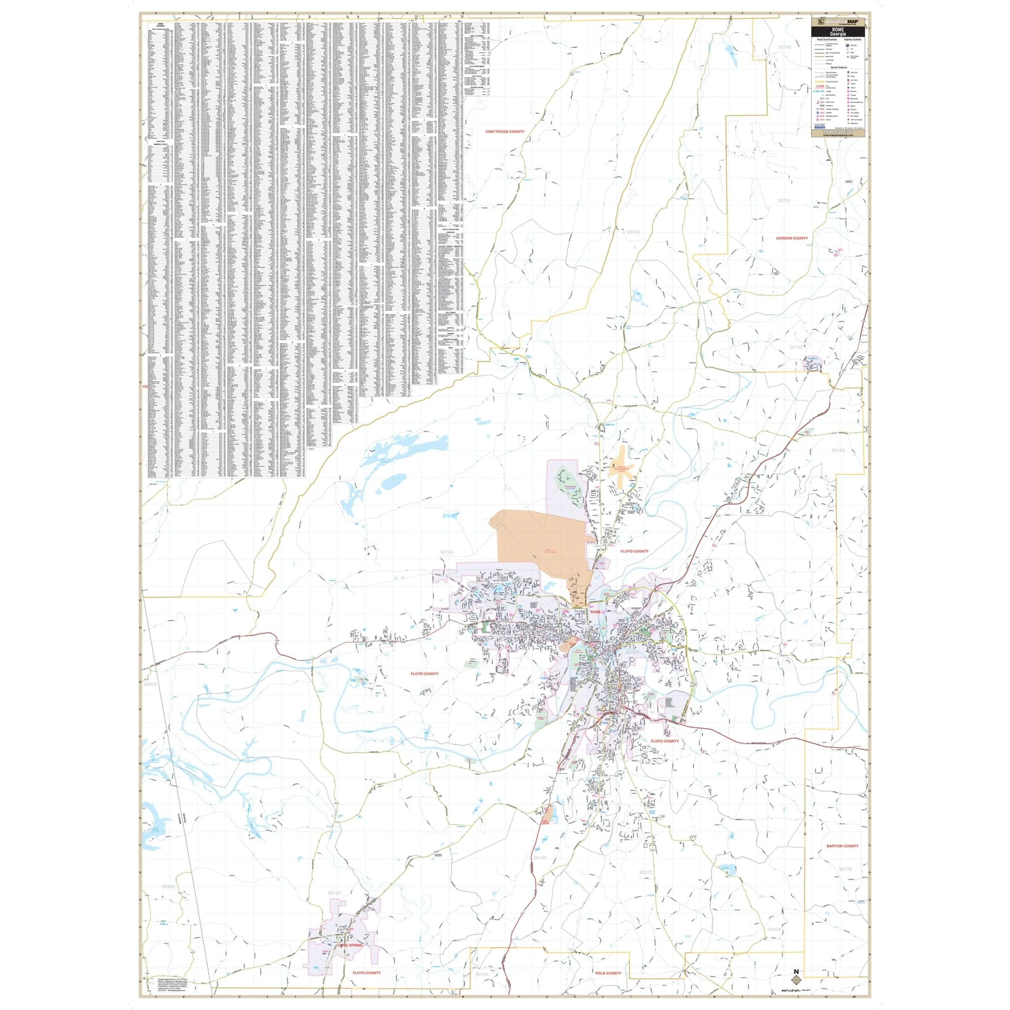
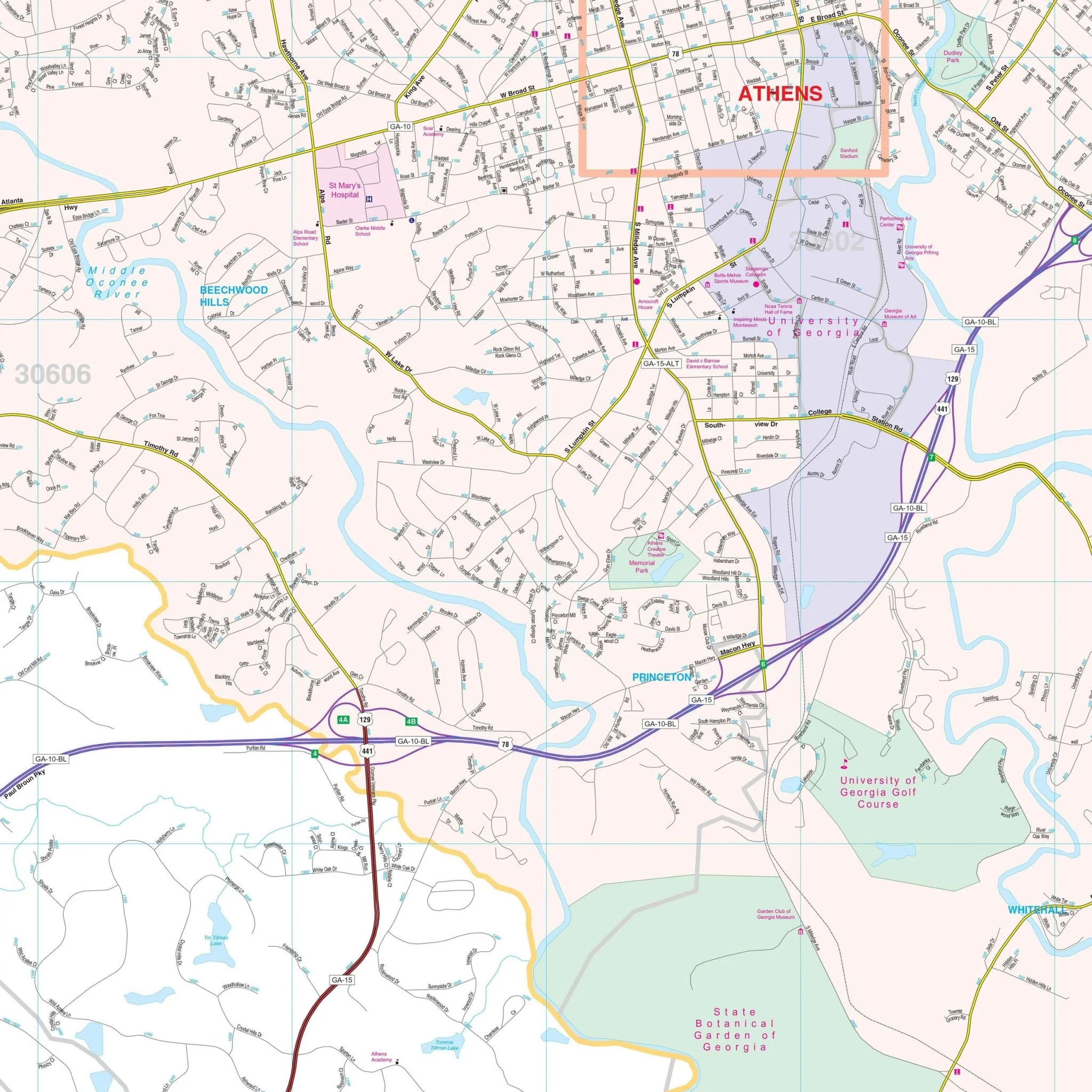
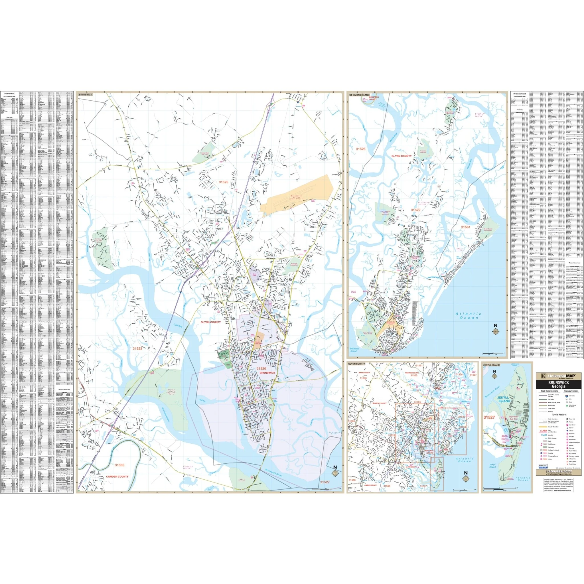
The Valdosta and Lowndes County, GA Wall Map provides a detailed representation of Lowndes County, offering comprehensive street information.
This map encompasses essential details such as airports, block numbers, cemeteries, city limits, educational institutions, golf and country clubs, government buildings, hospitals, libraries, points of interest, police stations, railroads, recreational parks, shopping centers, streets and highways, subdivisions, water features, and ZIP code boundaries.
Size: 57.5" x 57"
Published: 2013
Original: $139.99
-70%$139.99
$42.00Product Information
Product Information
Shipping & Returns
Shipping & Returns
Description
The Valdosta and Lowndes County, GA Wall Map provides a detailed representation of Lowndes County, offering comprehensive street information.
This map encompasses essential details such as airports, block numbers, cemeteries, city limits, educational institutions, golf and country clubs, government buildings, hospitals, libraries, points of interest, police stations, railroads, recreational parks, shopping centers, streets and highways, subdivisions, water features, and ZIP code boundaries.
Size: 57.5" x 57"
Published: 2013