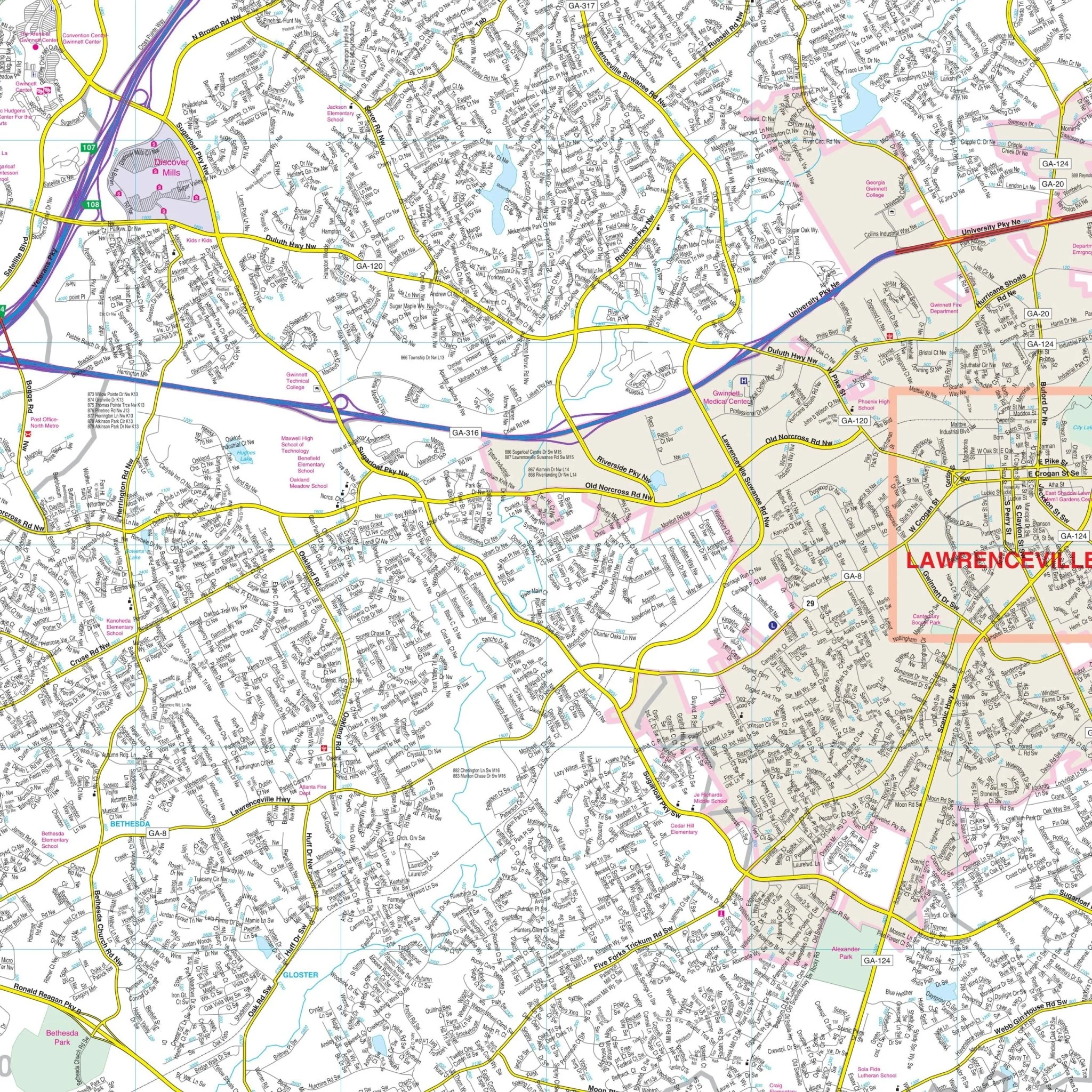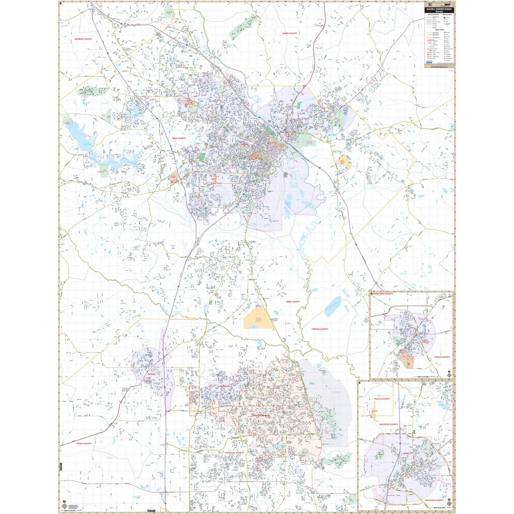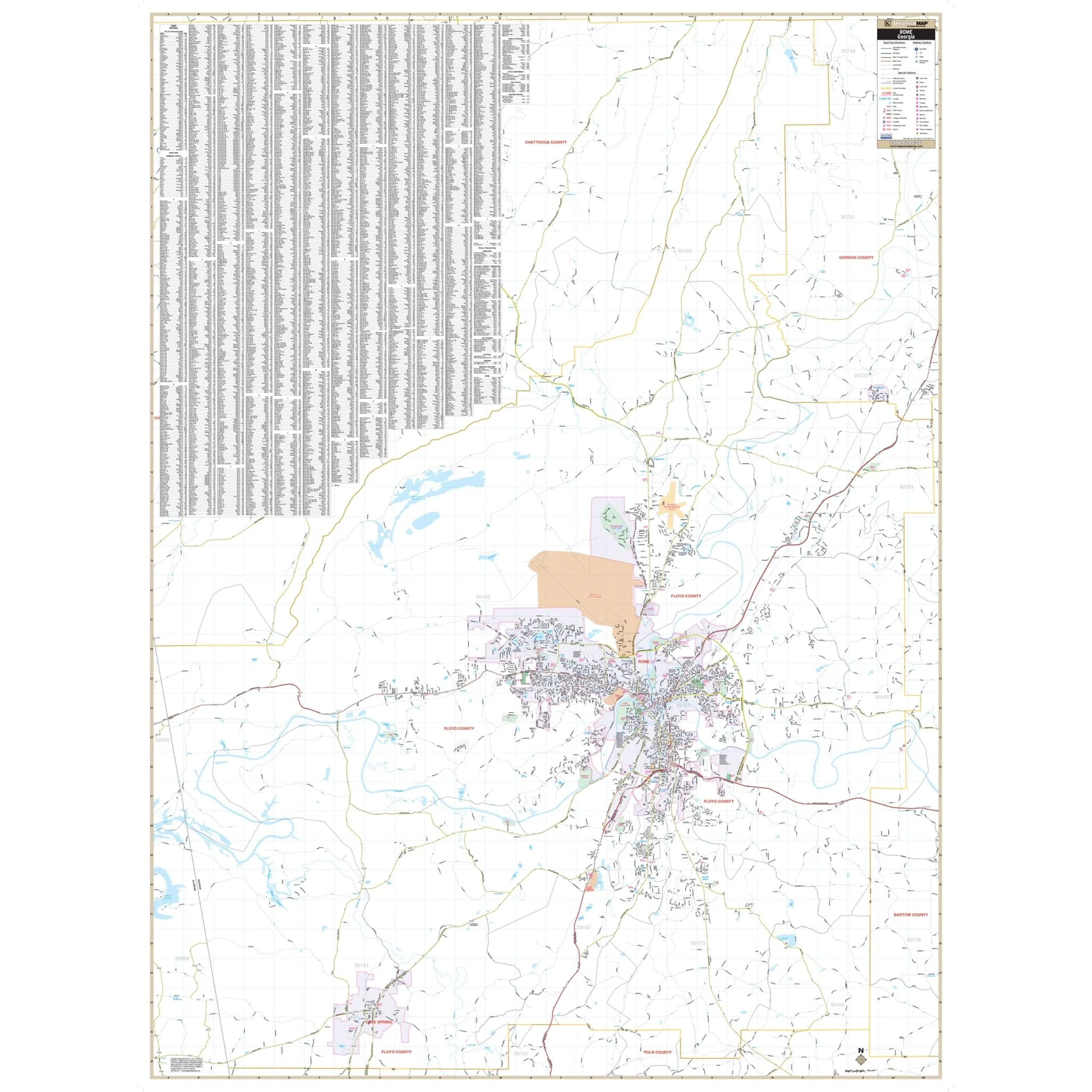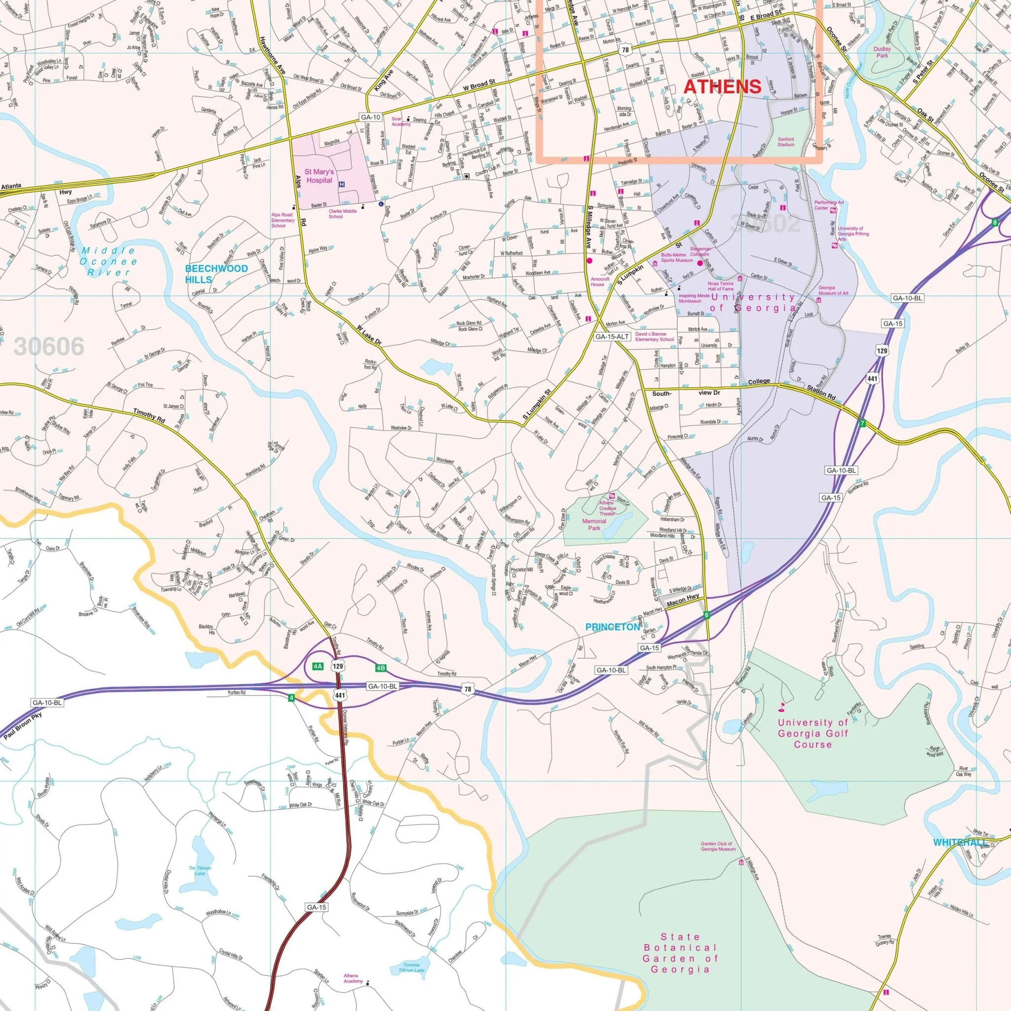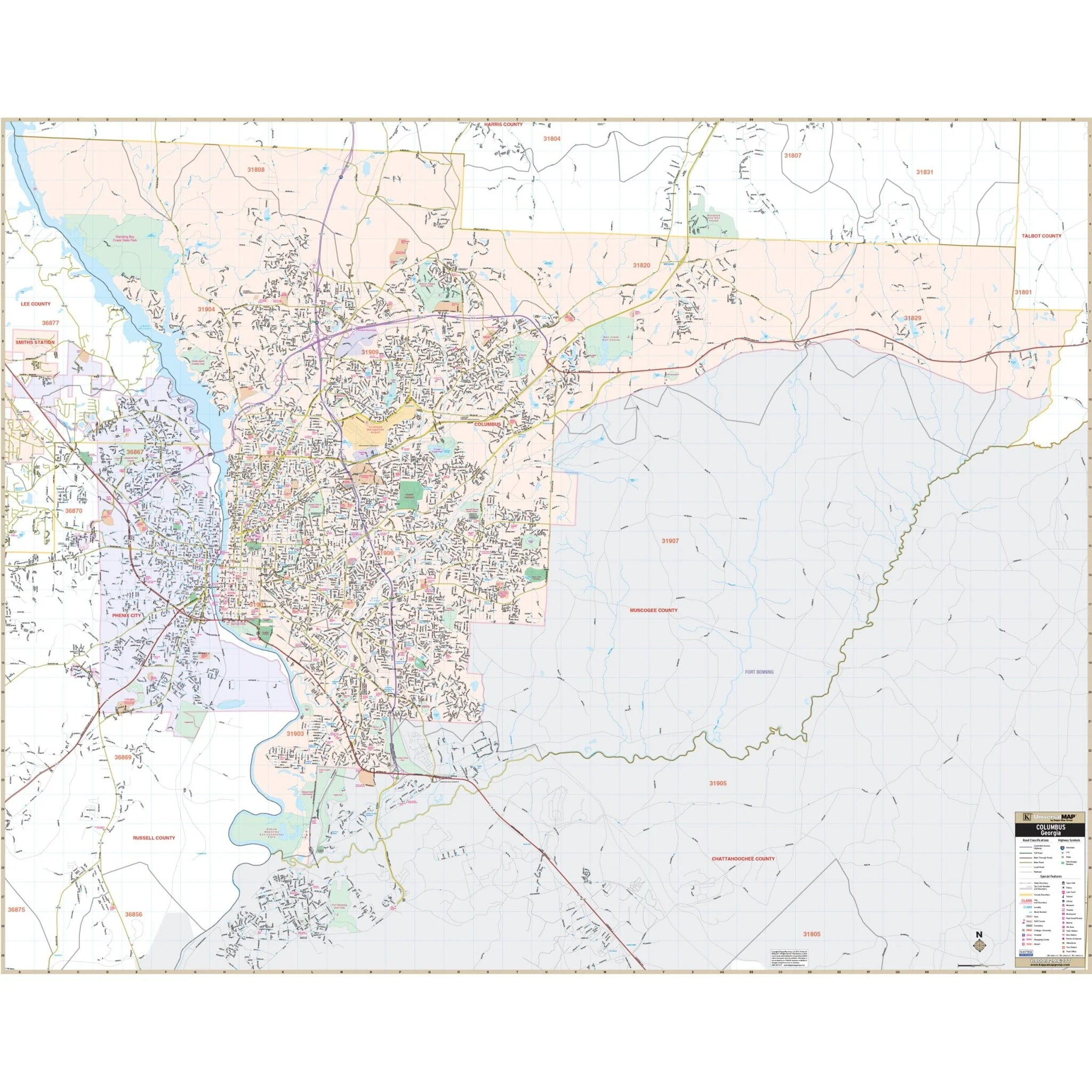


Columbus, GA & Phenix City, AL Wall Map
The Columbus, GA & Phenix City, AL Wall Map provides comprehensive coverage of Muscogee County, GA, and Phenix City, AL, with a detailed view of the region. The map offers complete street detail, allowing you to explore the area with precision.
The coverage area extends from the Muscogee County line in the north to the Fort Benning Golf Club in the south. To the east, it includes the Muscogee County line and Fort Benning Military Reservation, while to the west, it encompasses all of Smiths Station in Alabama.
This wall map is a valuable resource, featuring essential details such as airports, block numbers, cemeteries, city limits (color-coded), educational institutions, fire and police stations, golf and country clubs, government buildings, hospitals, libraries, points of interest, post offices, railroads, recreational parks, shopping centers, streets and highways, water features, and ZIP code boundaries.
Size: 68.5" x 54"
Published: 2015
Original: $149.99
-70%$149.99
$45.00Product Information
Product Information
Shipping & Returns
Shipping & Returns
Description
The Columbus, GA & Phenix City, AL Wall Map provides comprehensive coverage of Muscogee County, GA, and Phenix City, AL, with a detailed view of the region. The map offers complete street detail, allowing you to explore the area with precision.
The coverage area extends from the Muscogee County line in the north to the Fort Benning Golf Club in the south. To the east, it includes the Muscogee County line and Fort Benning Military Reservation, while to the west, it encompasses all of Smiths Station in Alabama.
This wall map is a valuable resource, featuring essential details such as airports, block numbers, cemeteries, city limits (color-coded), educational institutions, fire and police stations, golf and country clubs, government buildings, hospitals, libraries, points of interest, post offices, railroads, recreational parks, shopping centers, streets and highways, water features, and ZIP code boundaries.
Size: 68.5" x 54"
Published: 2015