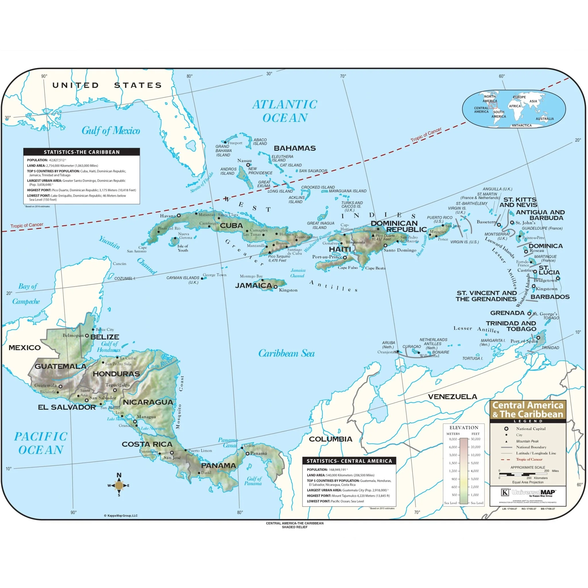


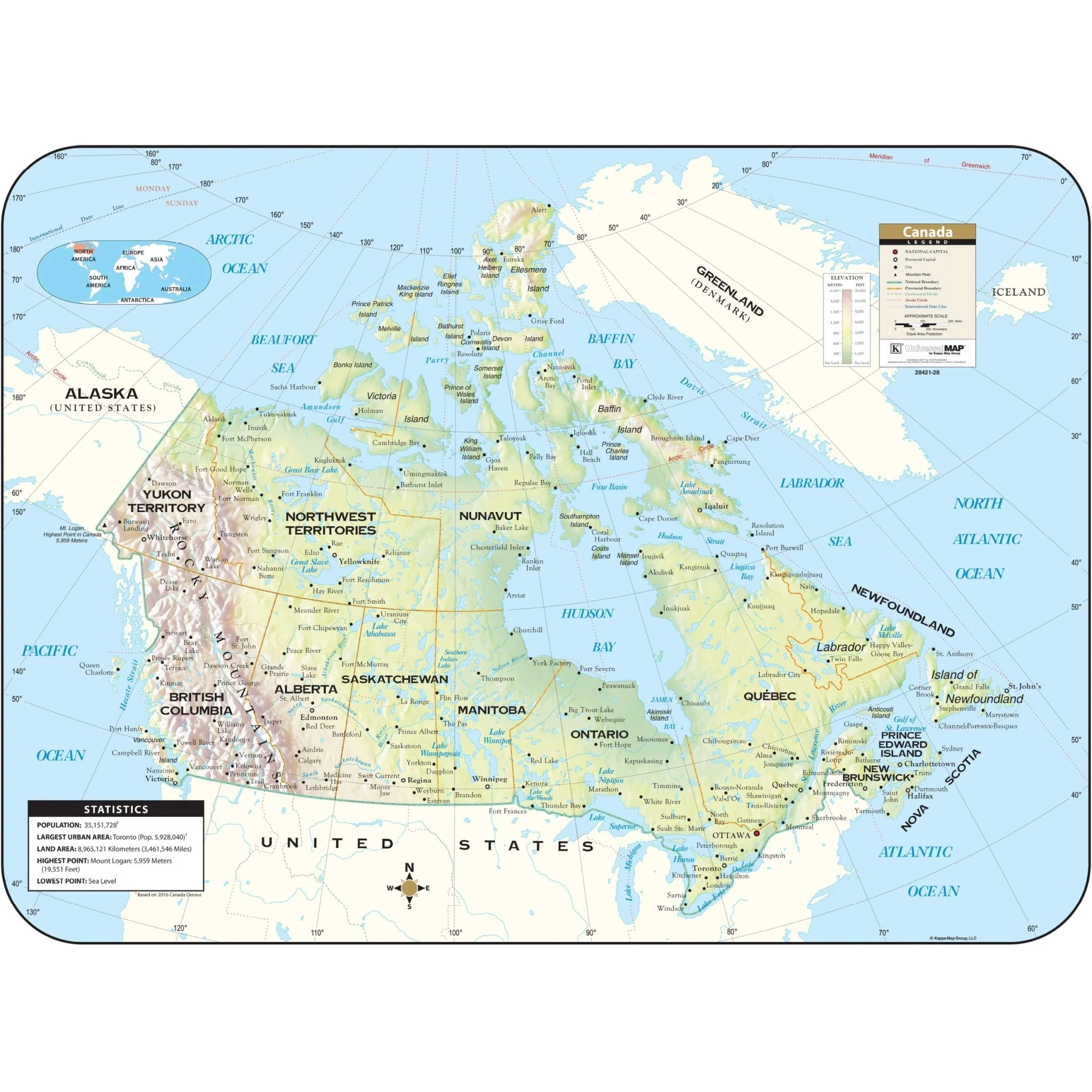


Canada Shaded Relief Wall Map
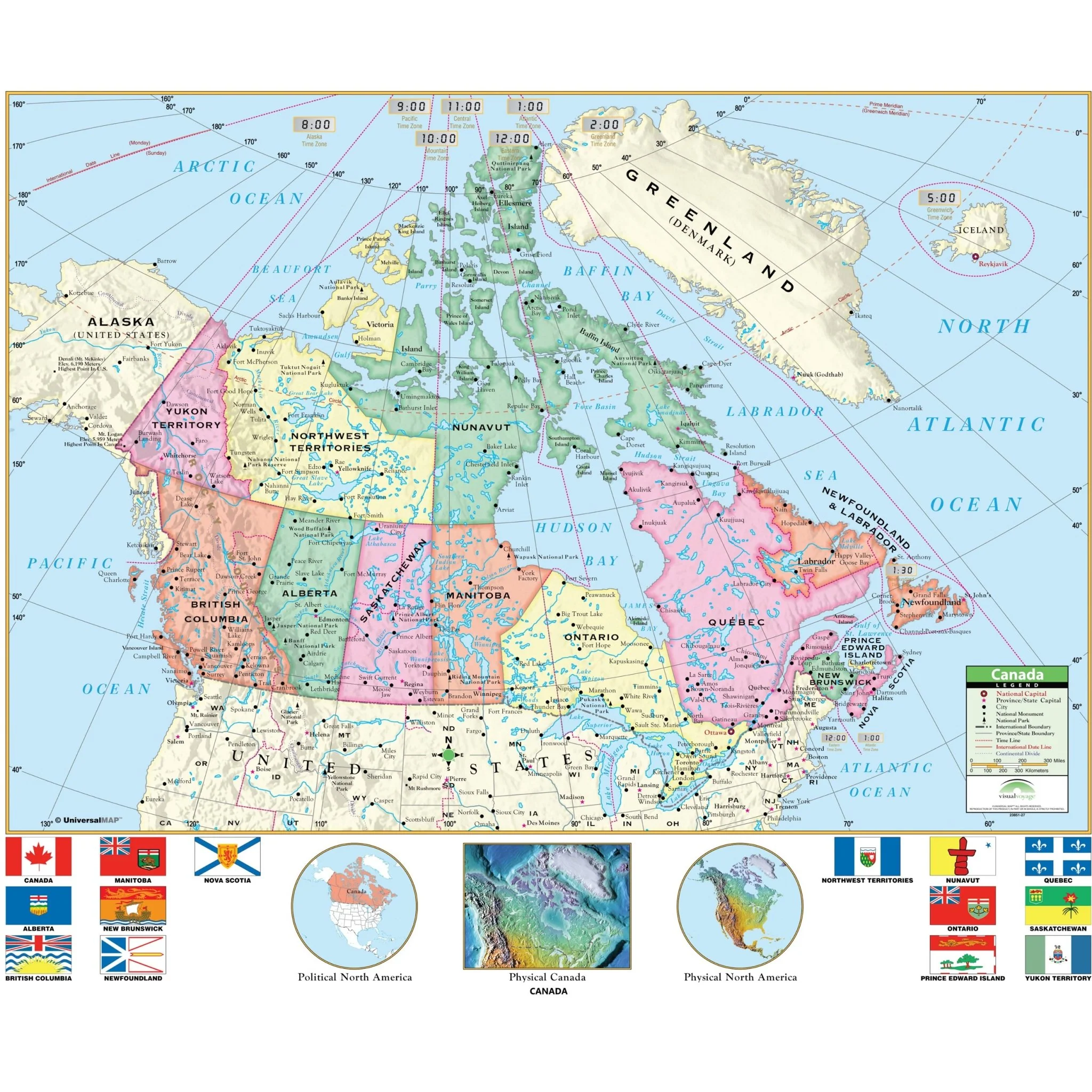
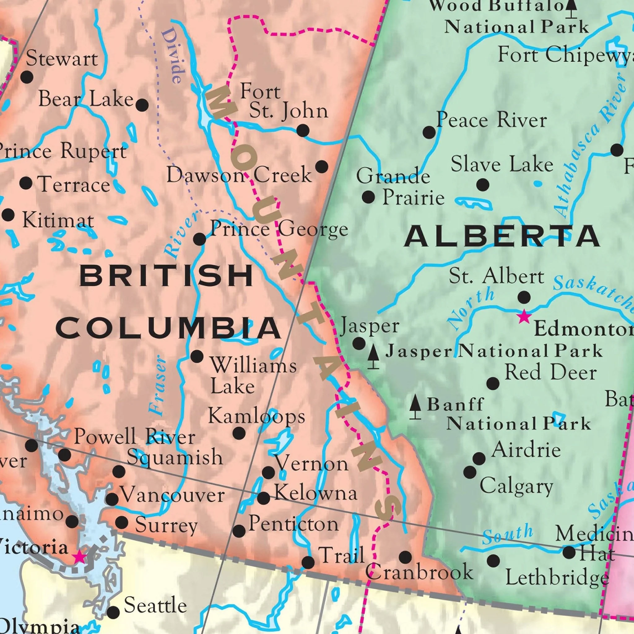
The Canada Shaded Relief Wall Map by Kappa Map Group offers a wealth of information, including the national capital, provincial capitals, major cities, international and provincial boundaries, the Continental Divide, and time zone boundaries. Additionally, this map includes an elevation chart, a precise distance scale, comprehensive geographical data, and clearly delineated county boundaries.
Sizes: 63" x 48.5" | 54.5" x 42" | 38" x 29.2"
Published: 2016
Original: $89.99
-70%$89.99
$27.00Product Information
Product Information
Shipping & Returns
Shipping & Returns
Description
The Canada Shaded Relief Wall Map by Kappa Map Group offers a wealth of information, including the national capital, provincial capitals, major cities, international and provincial boundaries, the Continental Divide, and time zone boundaries. Additionally, this map includes an elevation chart, a precise distance scale, comprehensive geographical data, and clearly delineated county boundaries.
Sizes: 63" x 48.5" | 54.5" x 42" | 38" x 29.2"
Published: 2016