


Eastern Pasco County, FL Wall Map
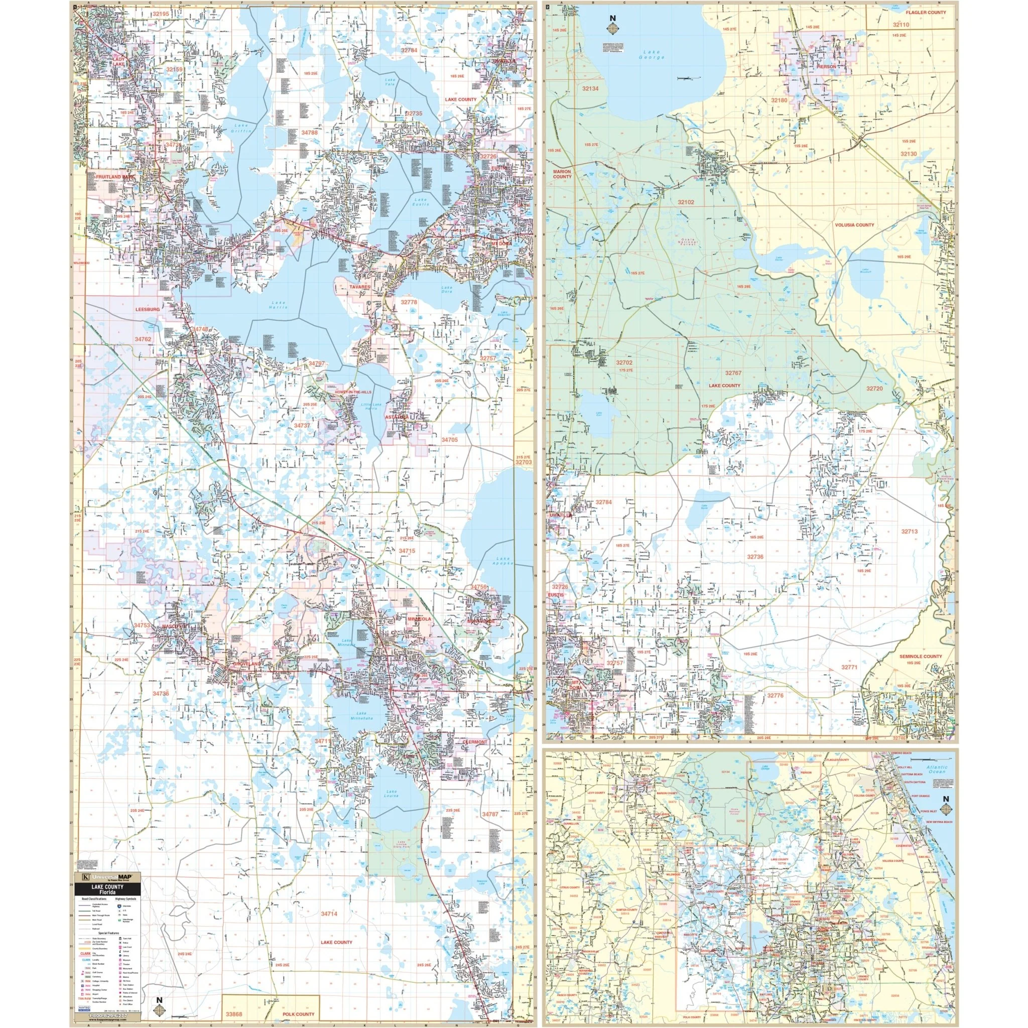
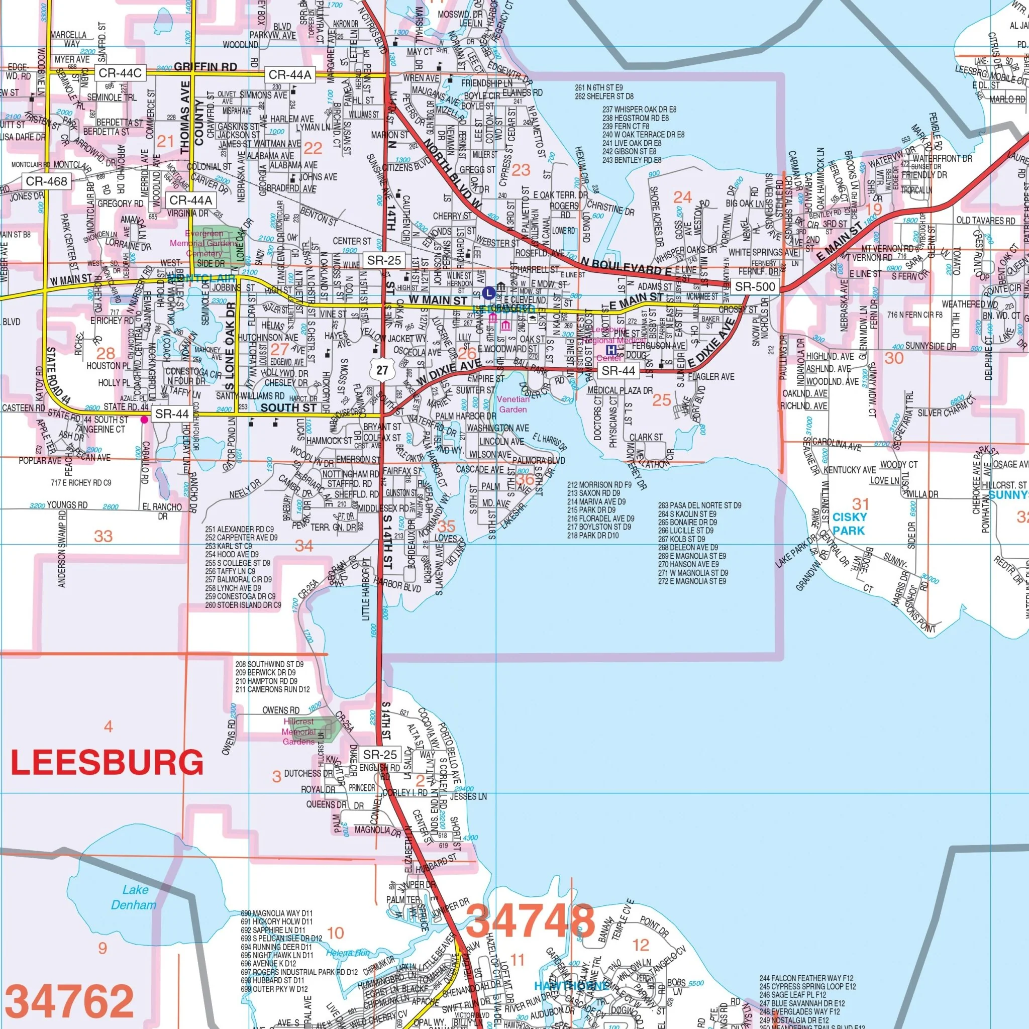
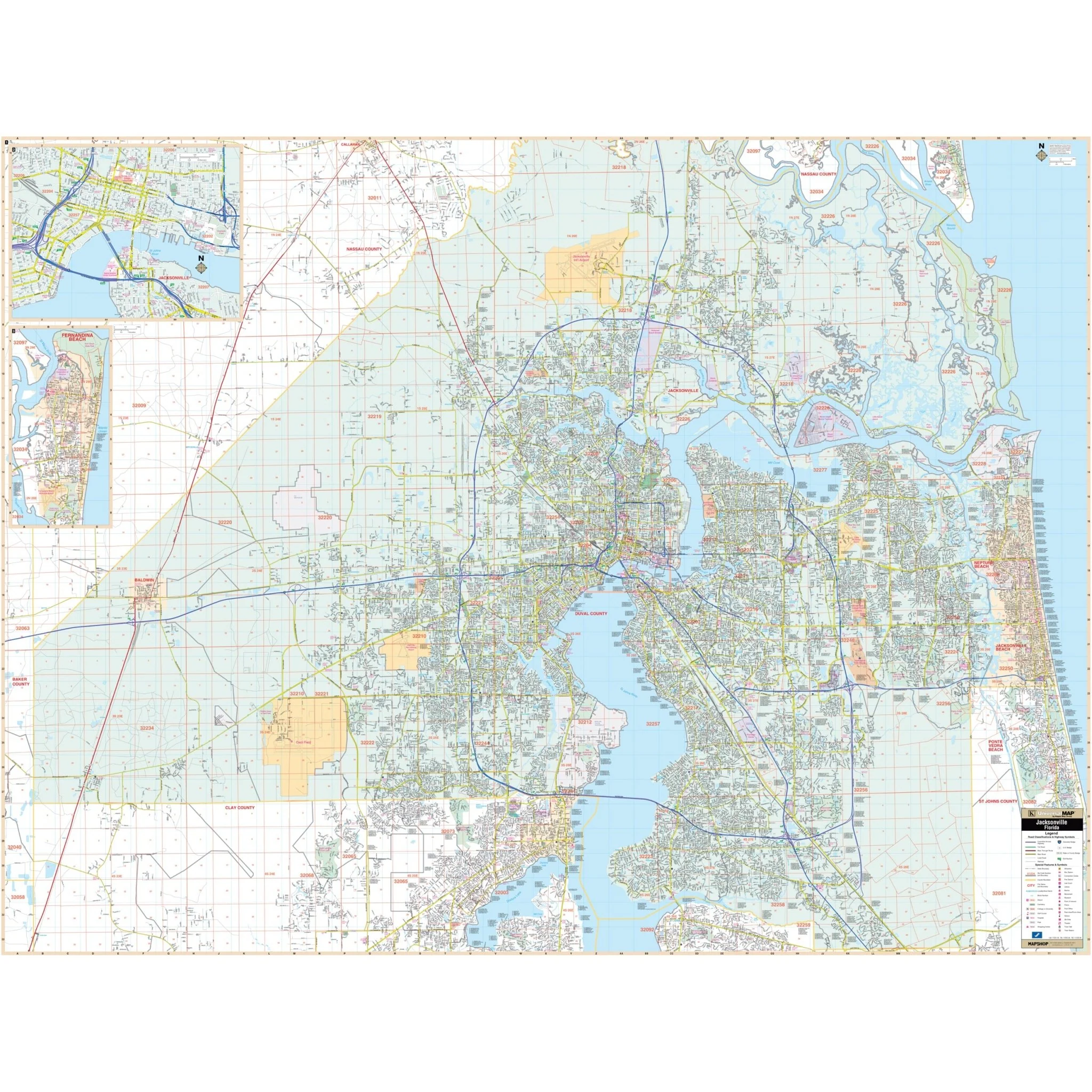
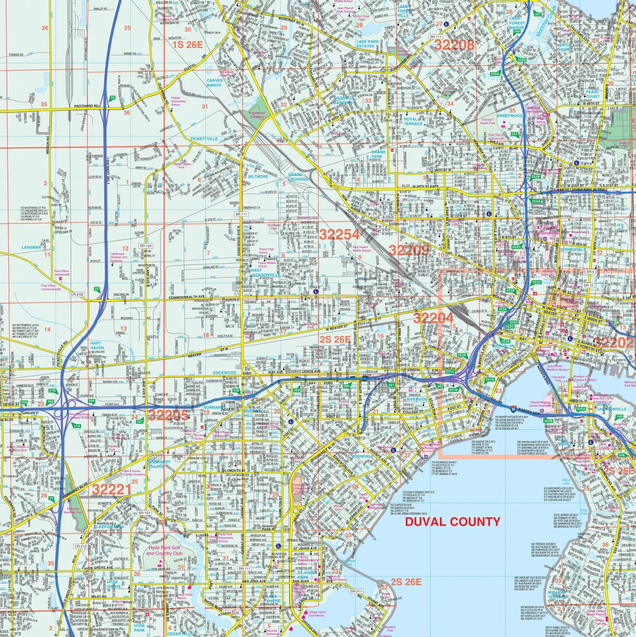
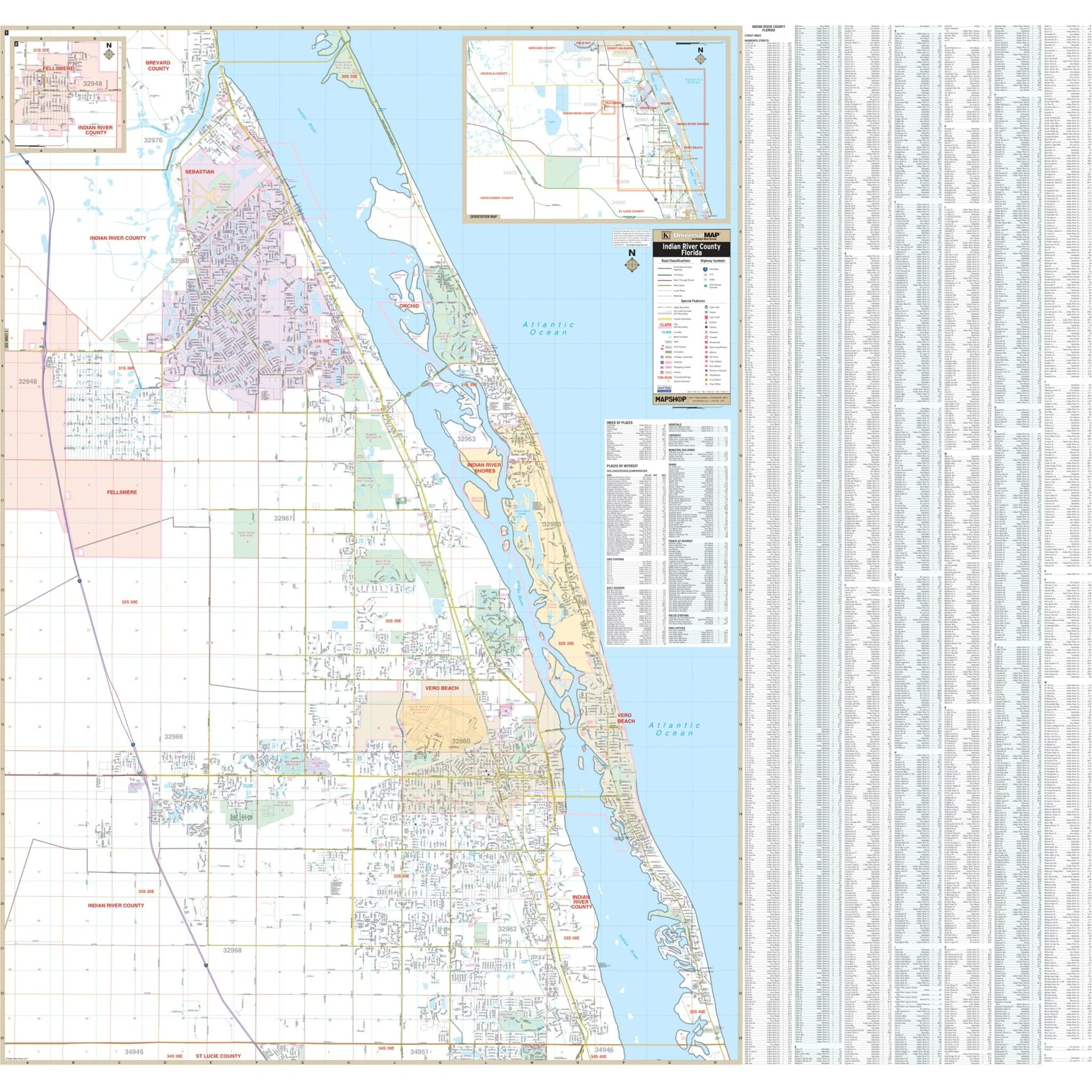
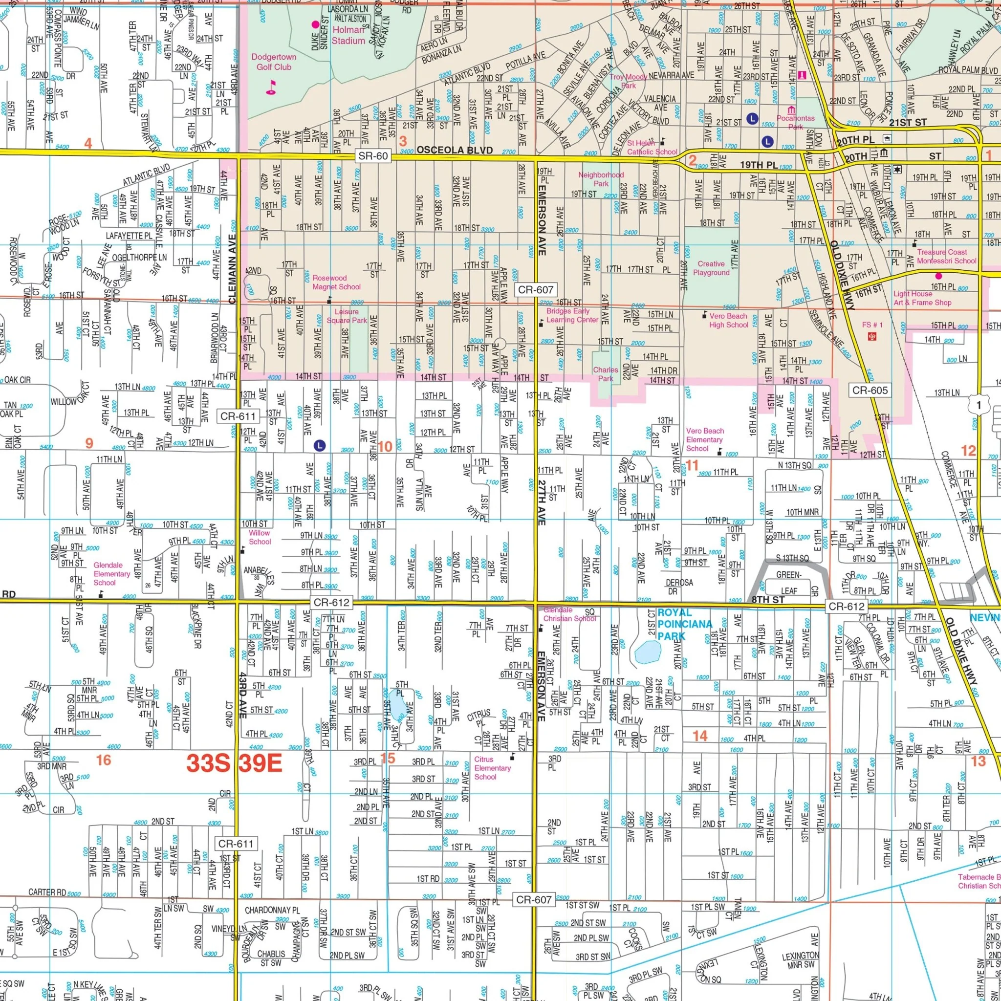
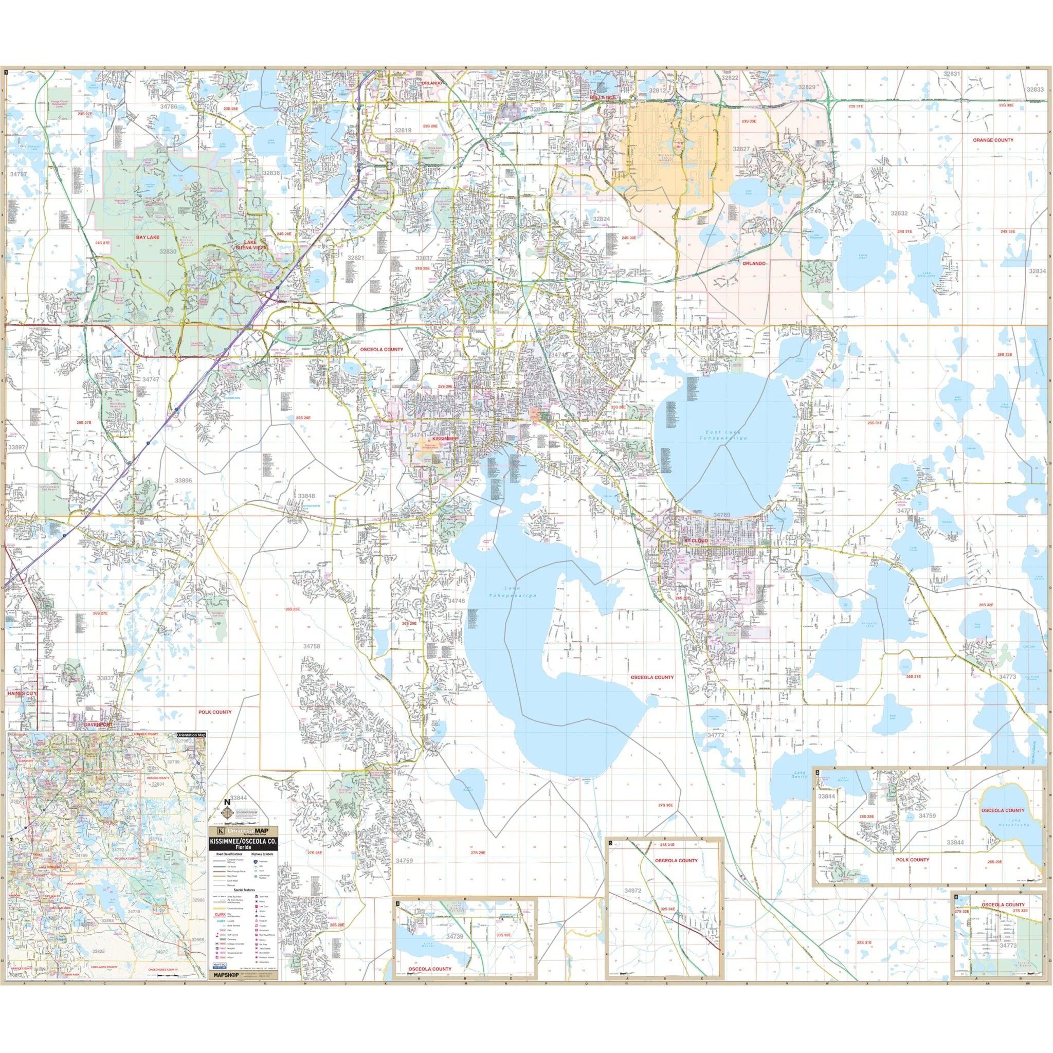
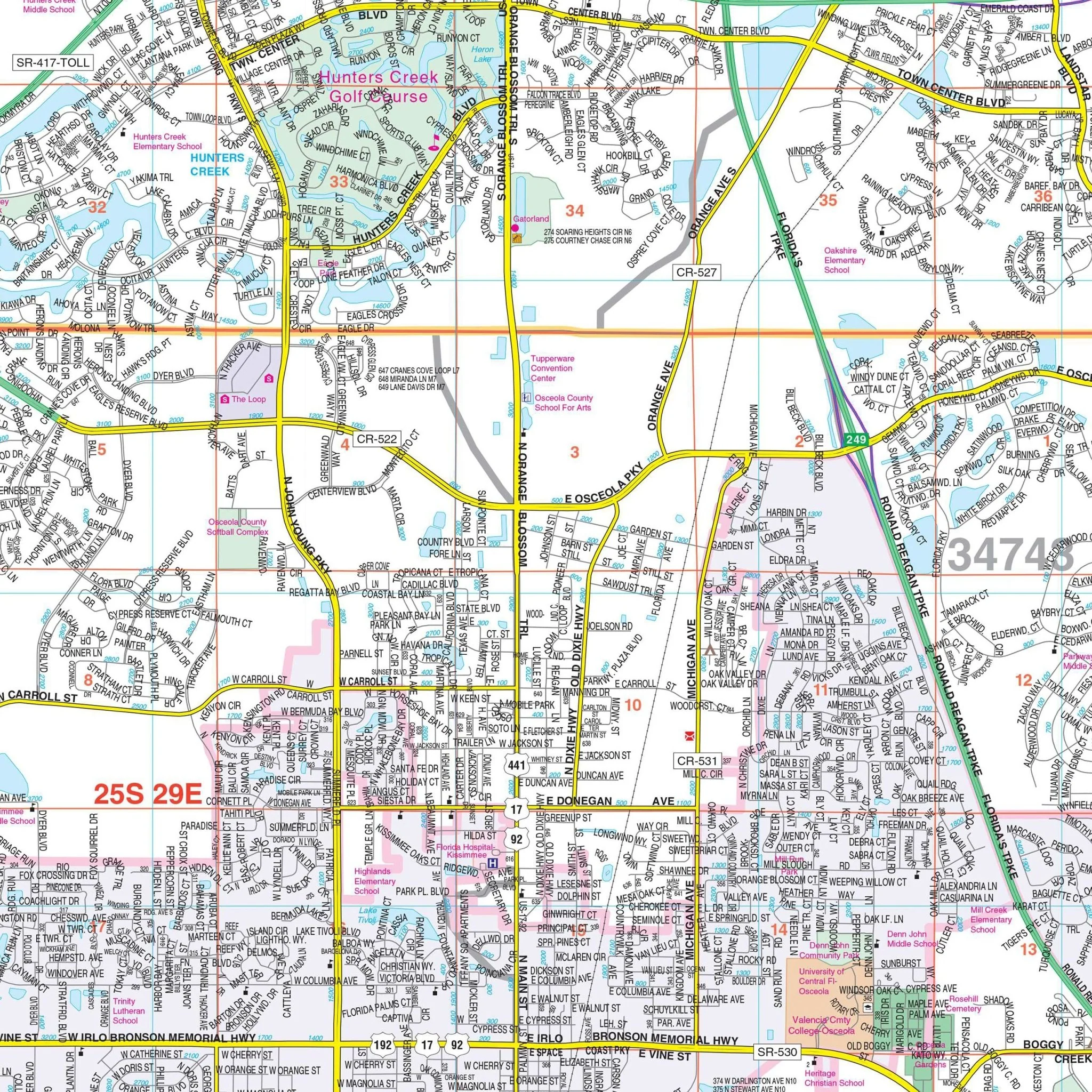
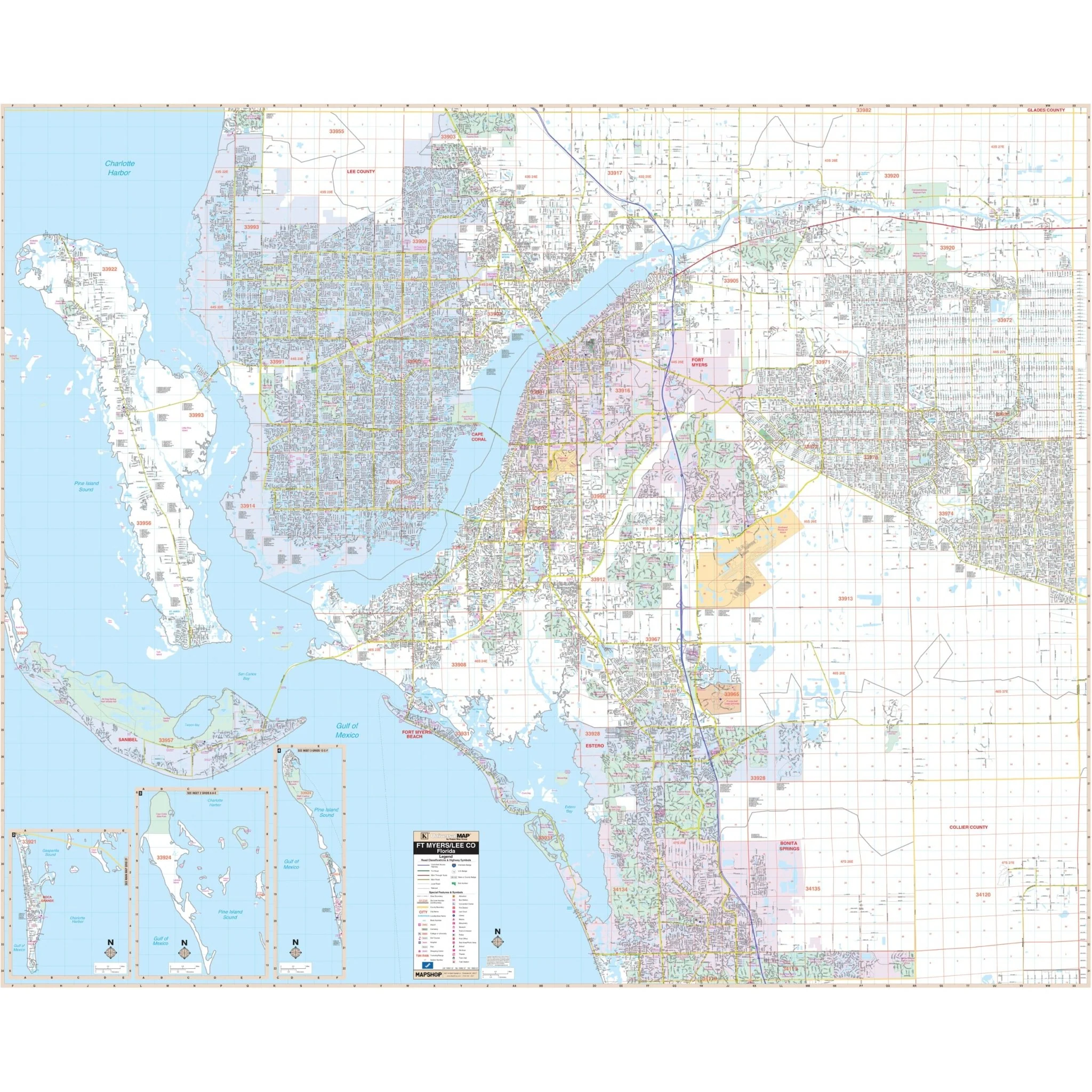
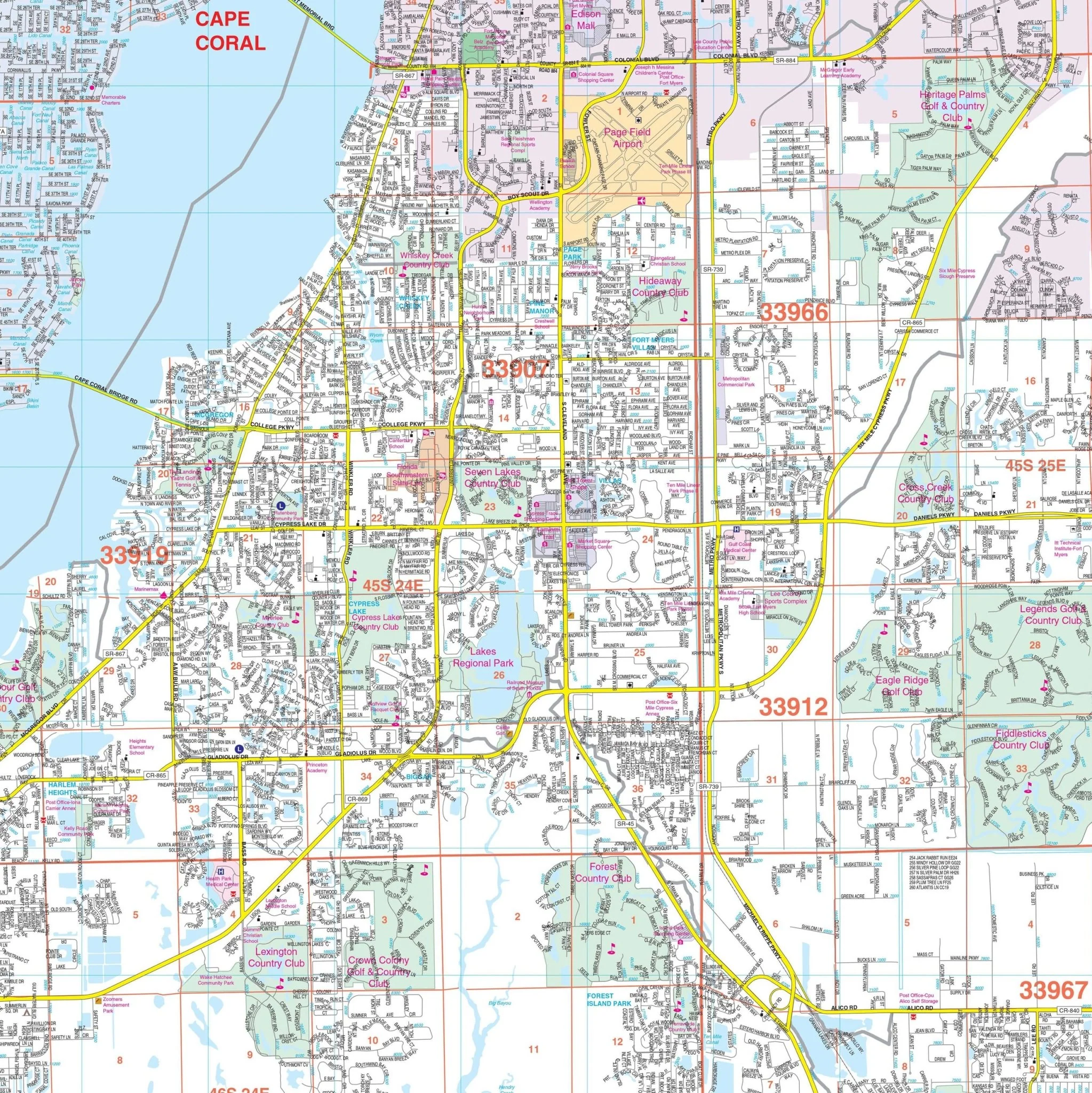
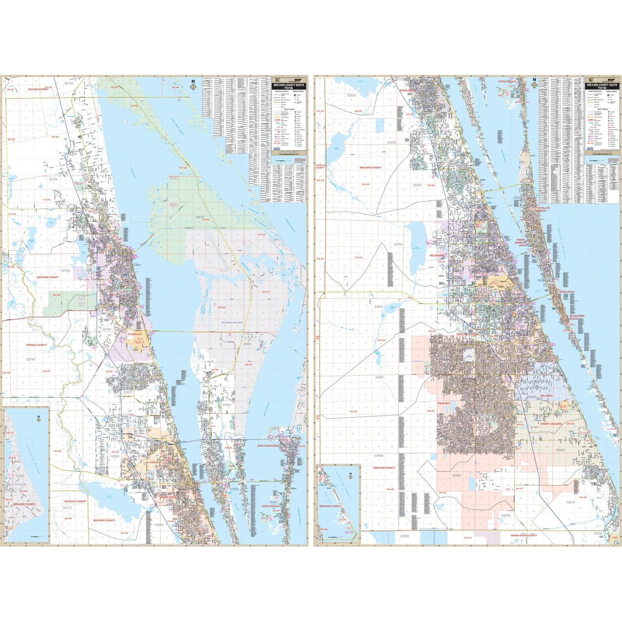
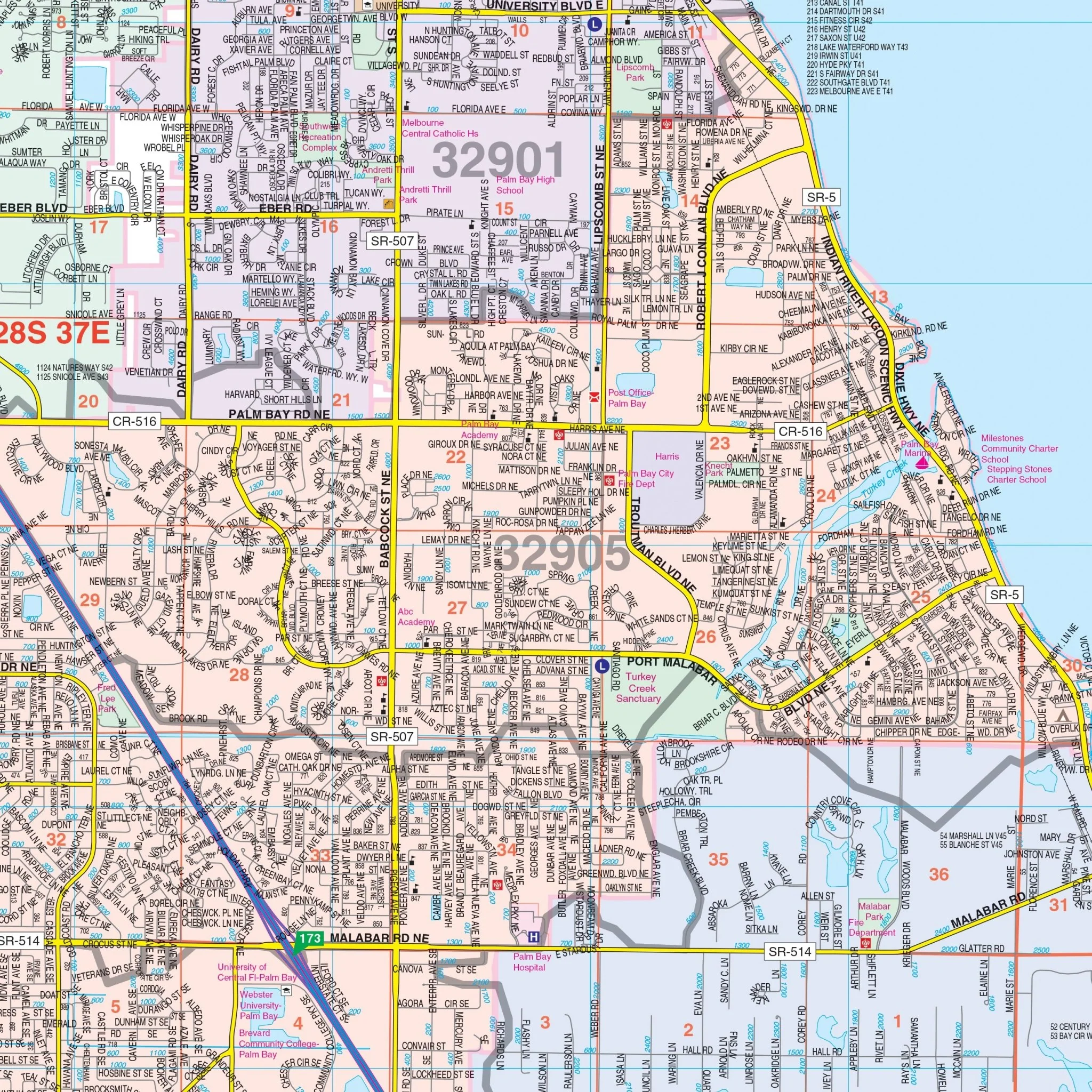
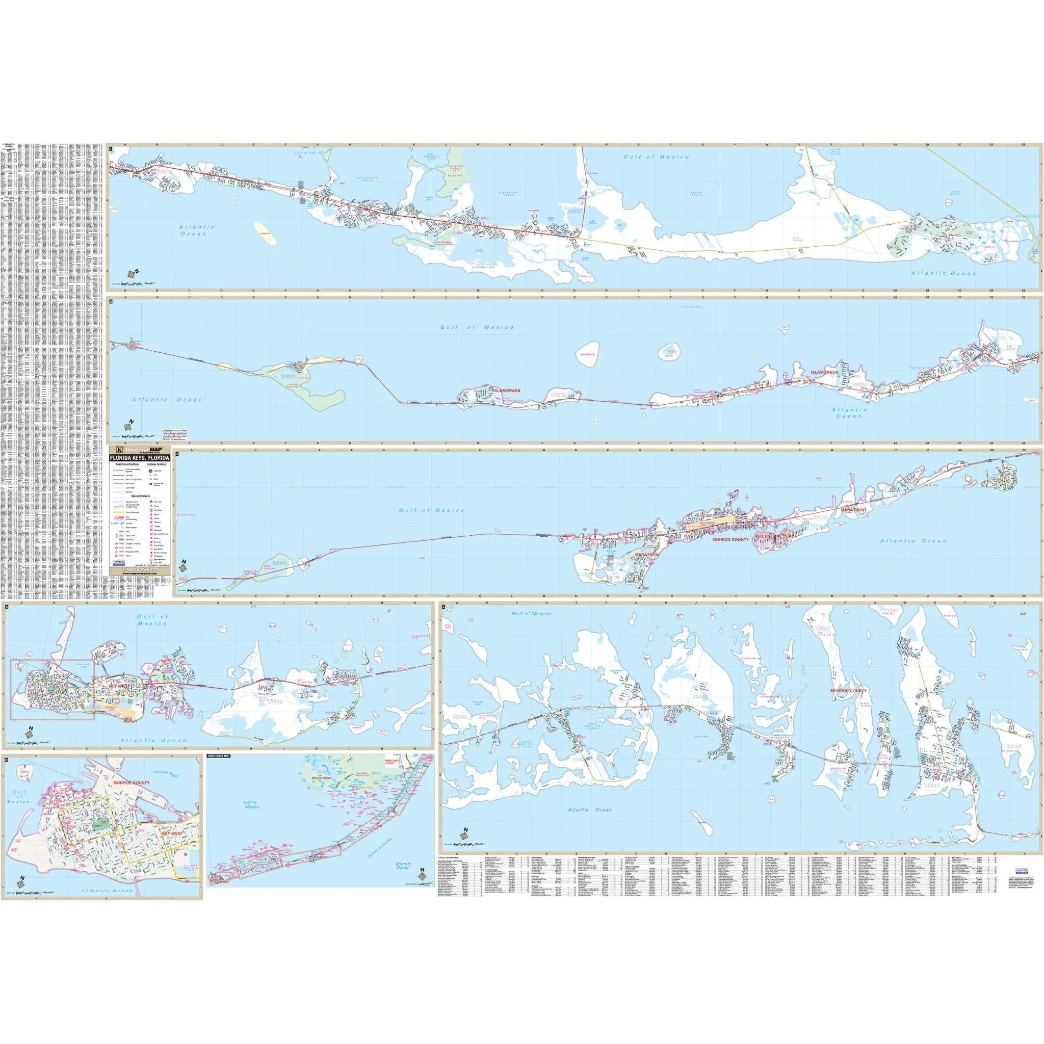
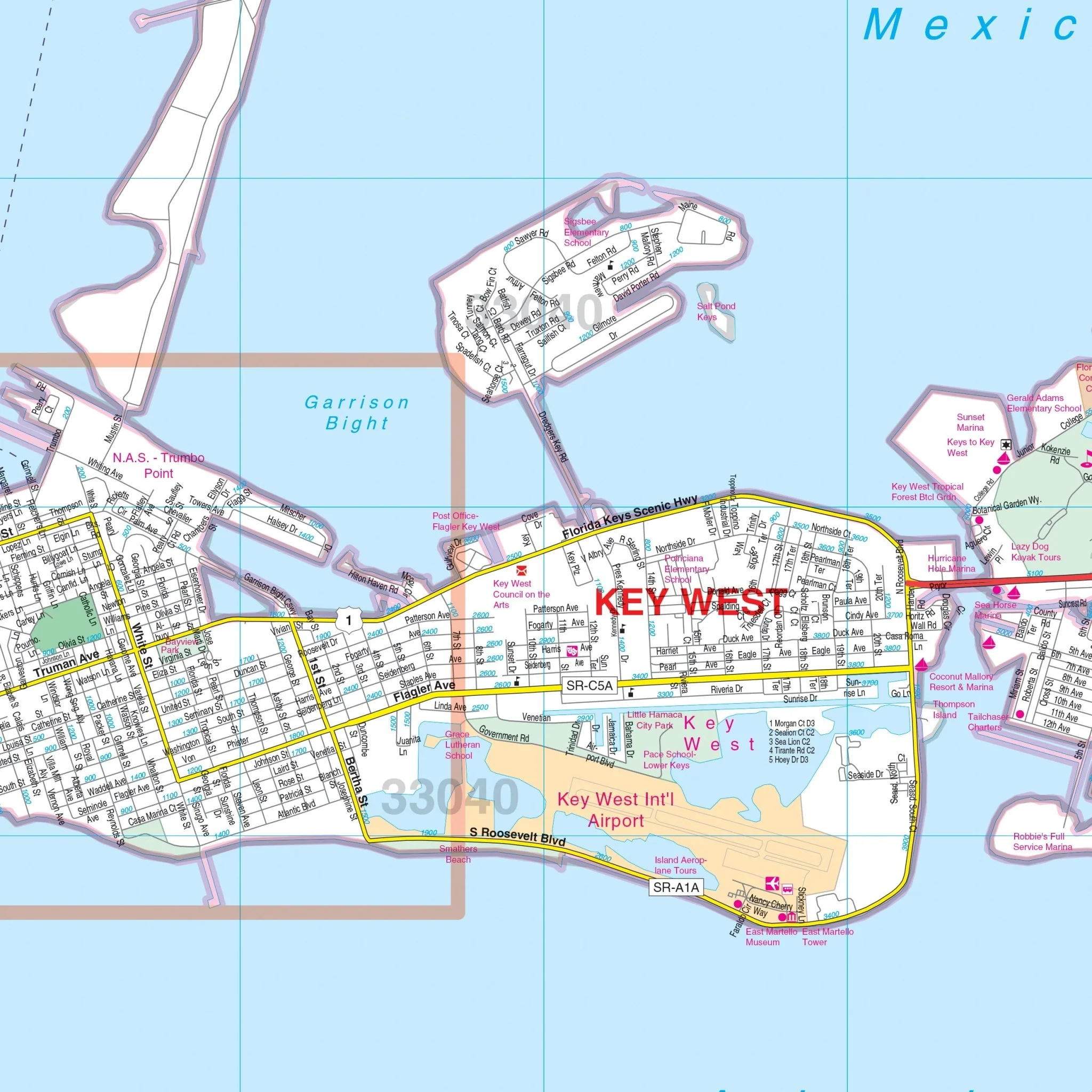
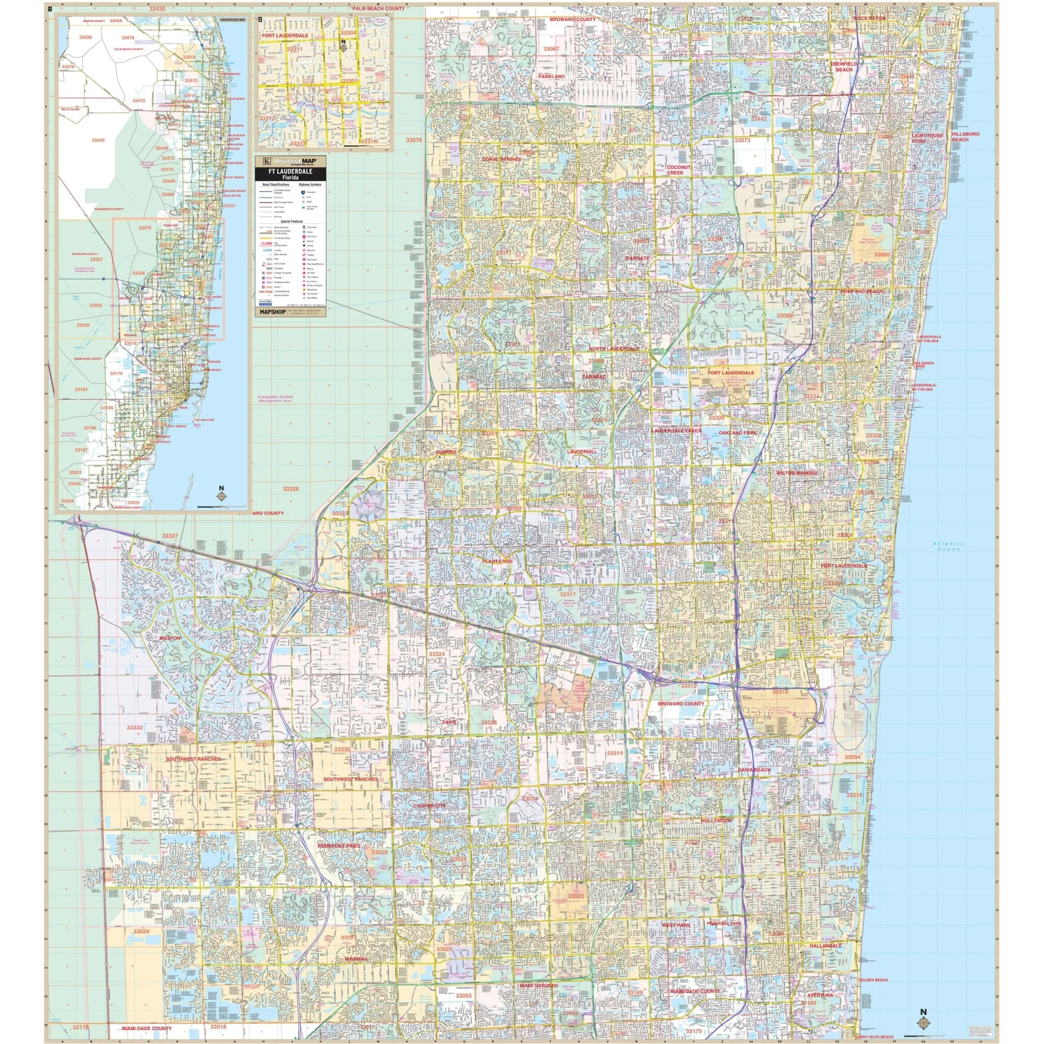
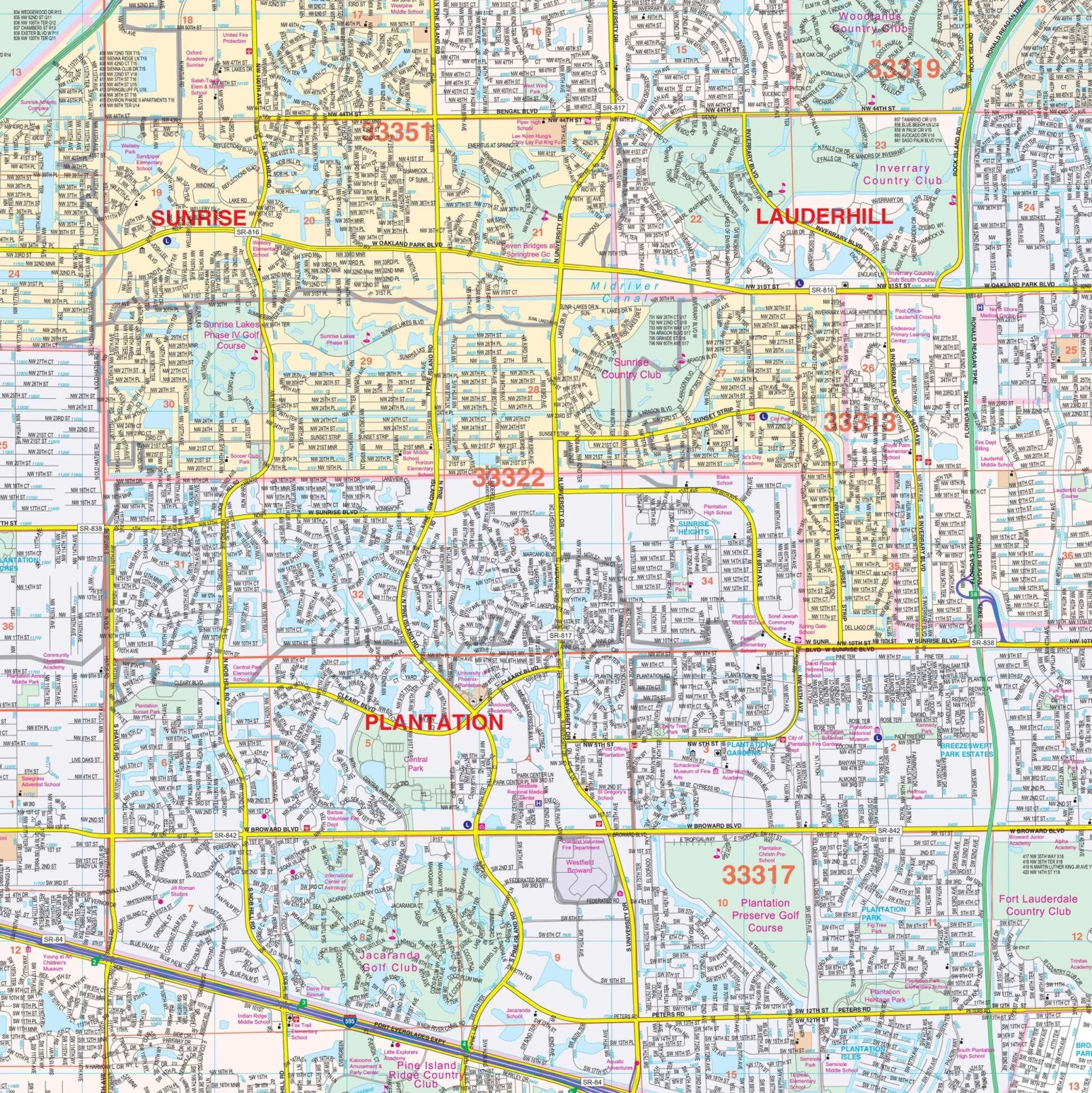
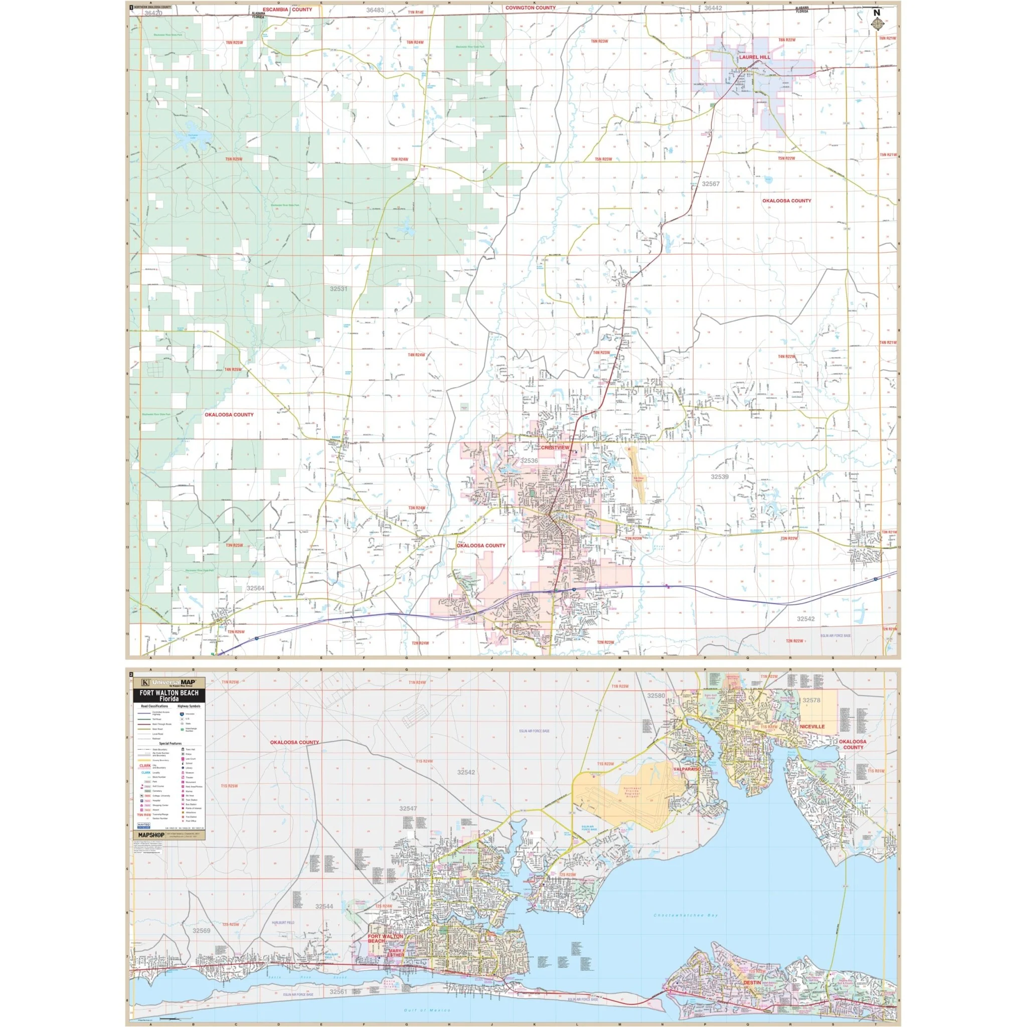
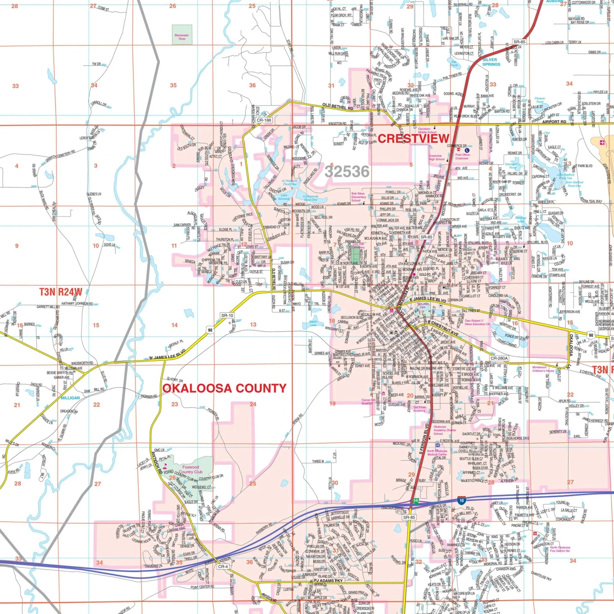
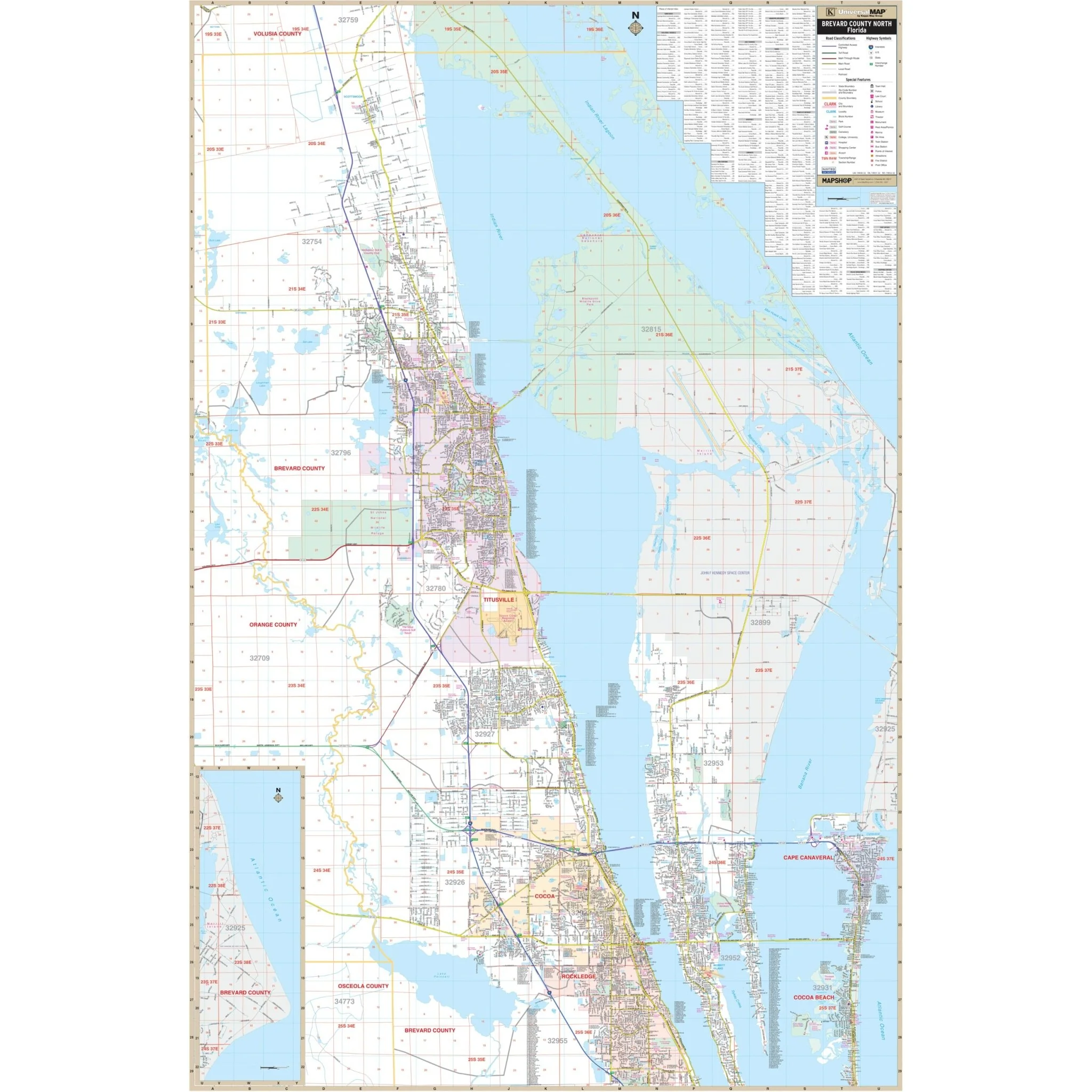
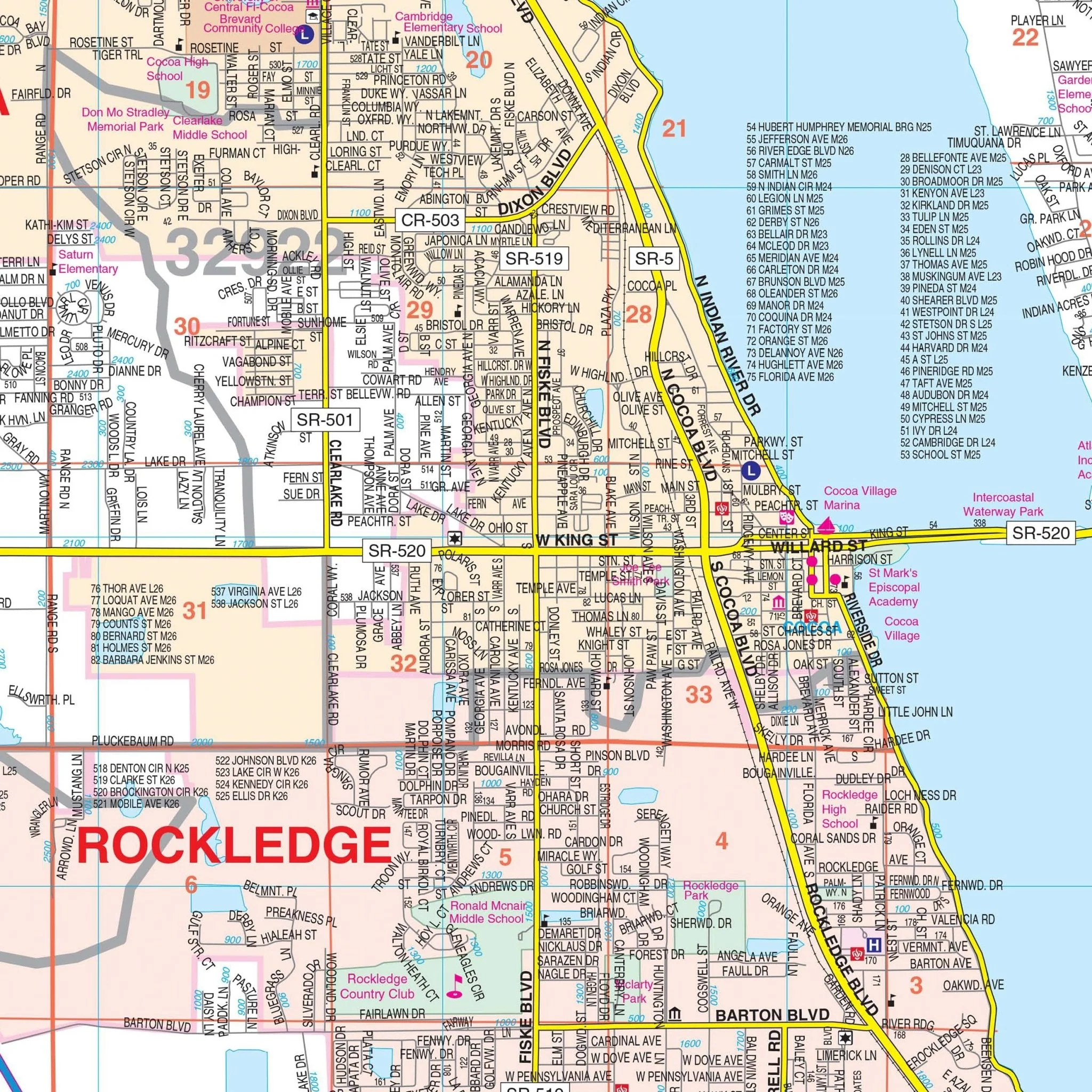
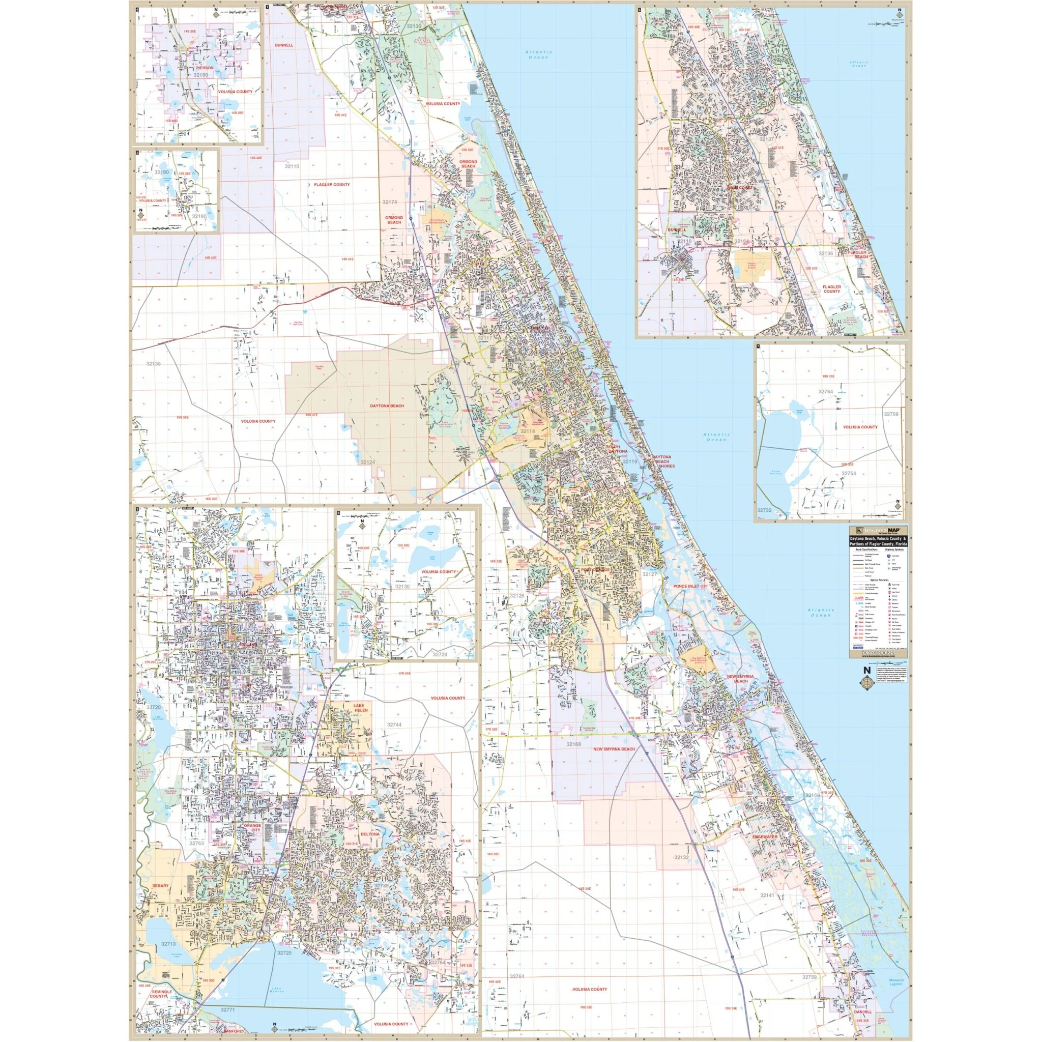
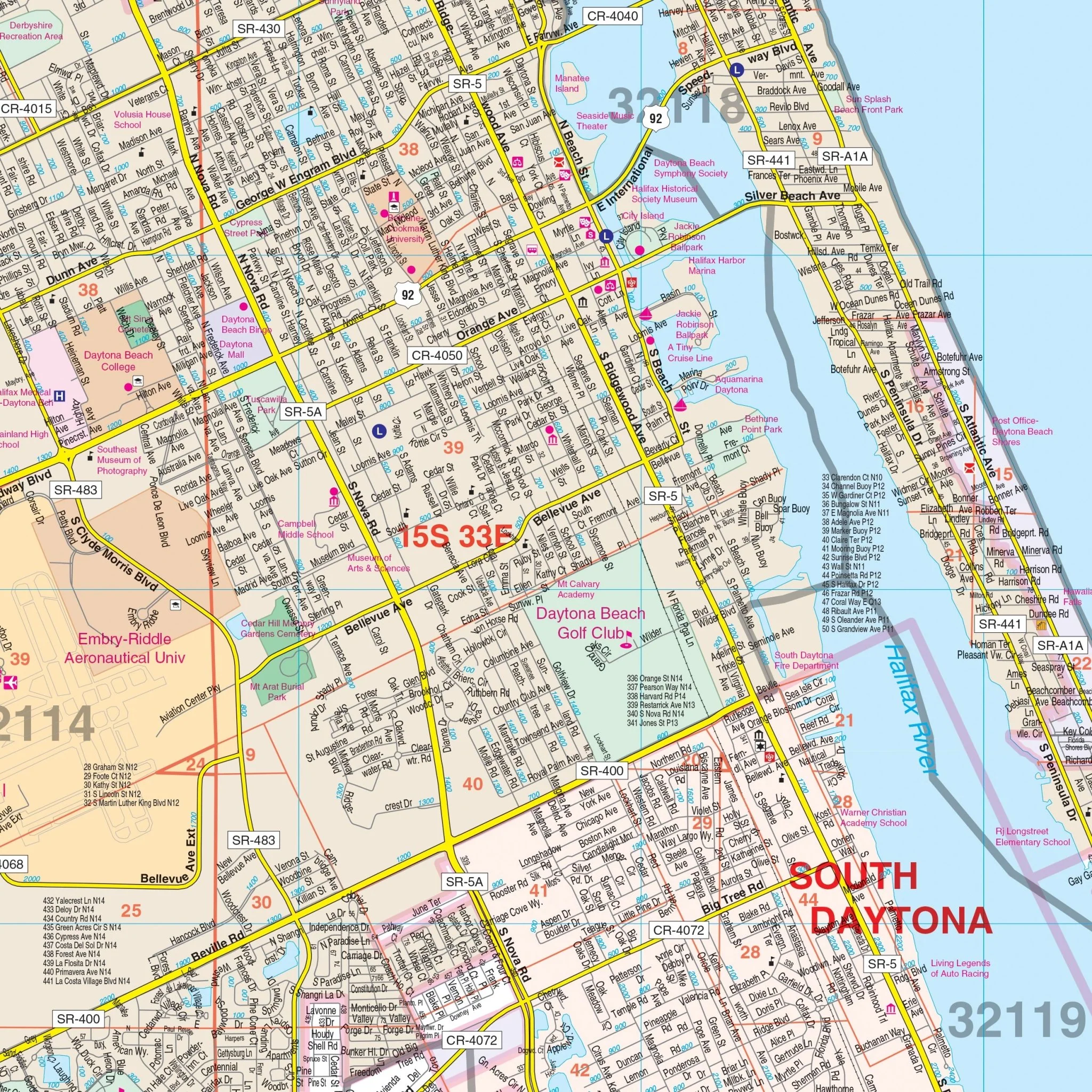
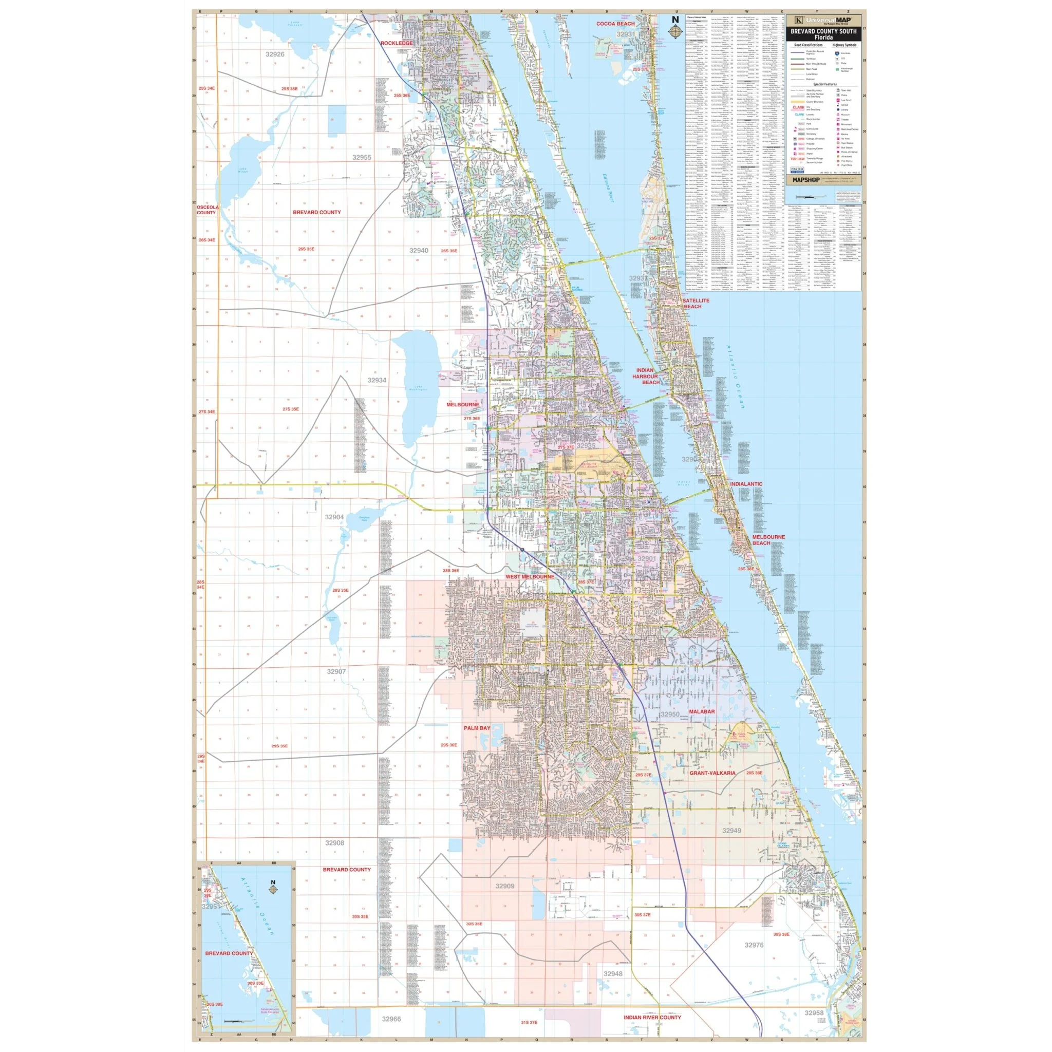
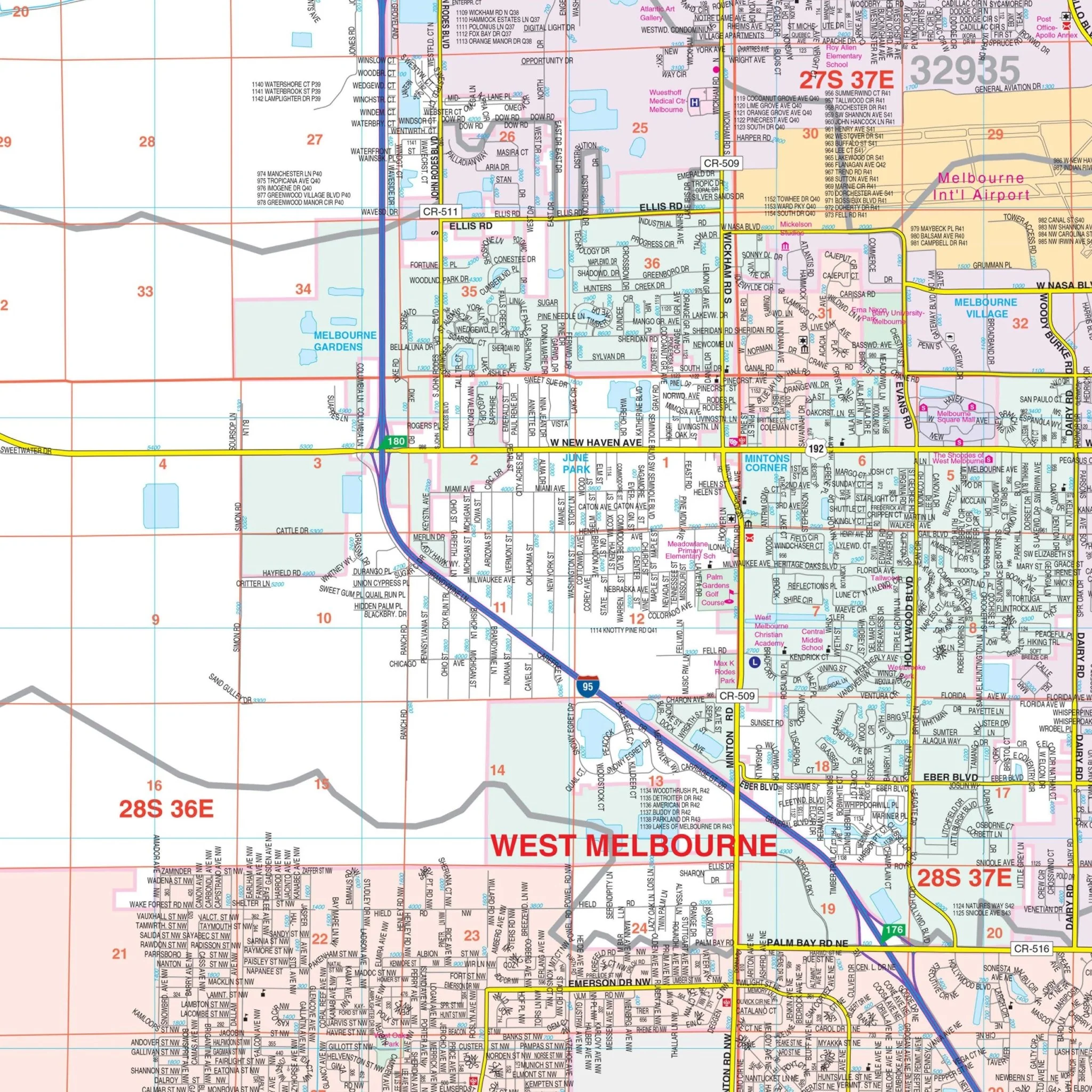
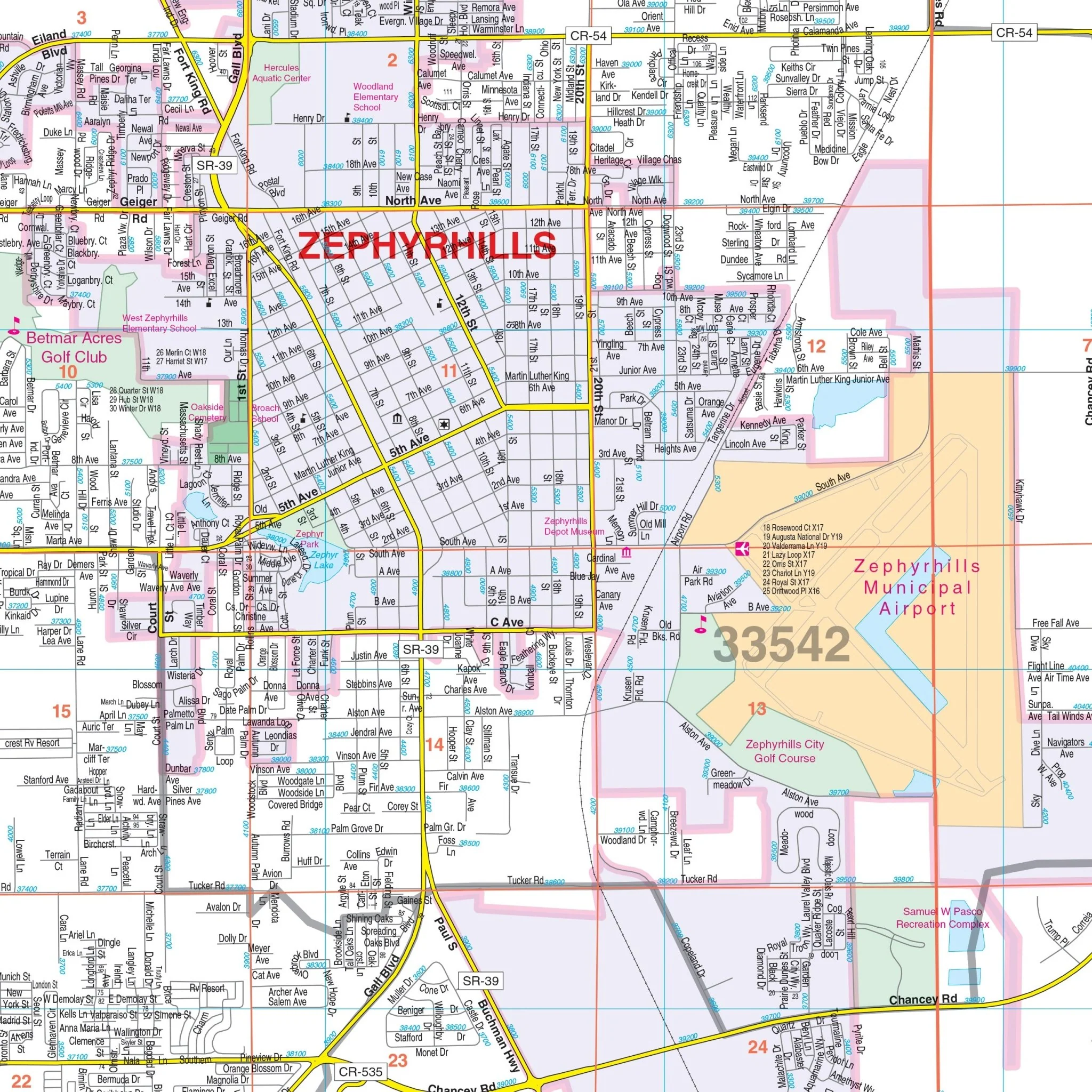
Explore the charm and details of East Pasco County, FL, with this comprehensive wall map. Covering the entire region, this map offers complete street-level detail, making it an invaluable resource for both residents and visitors.
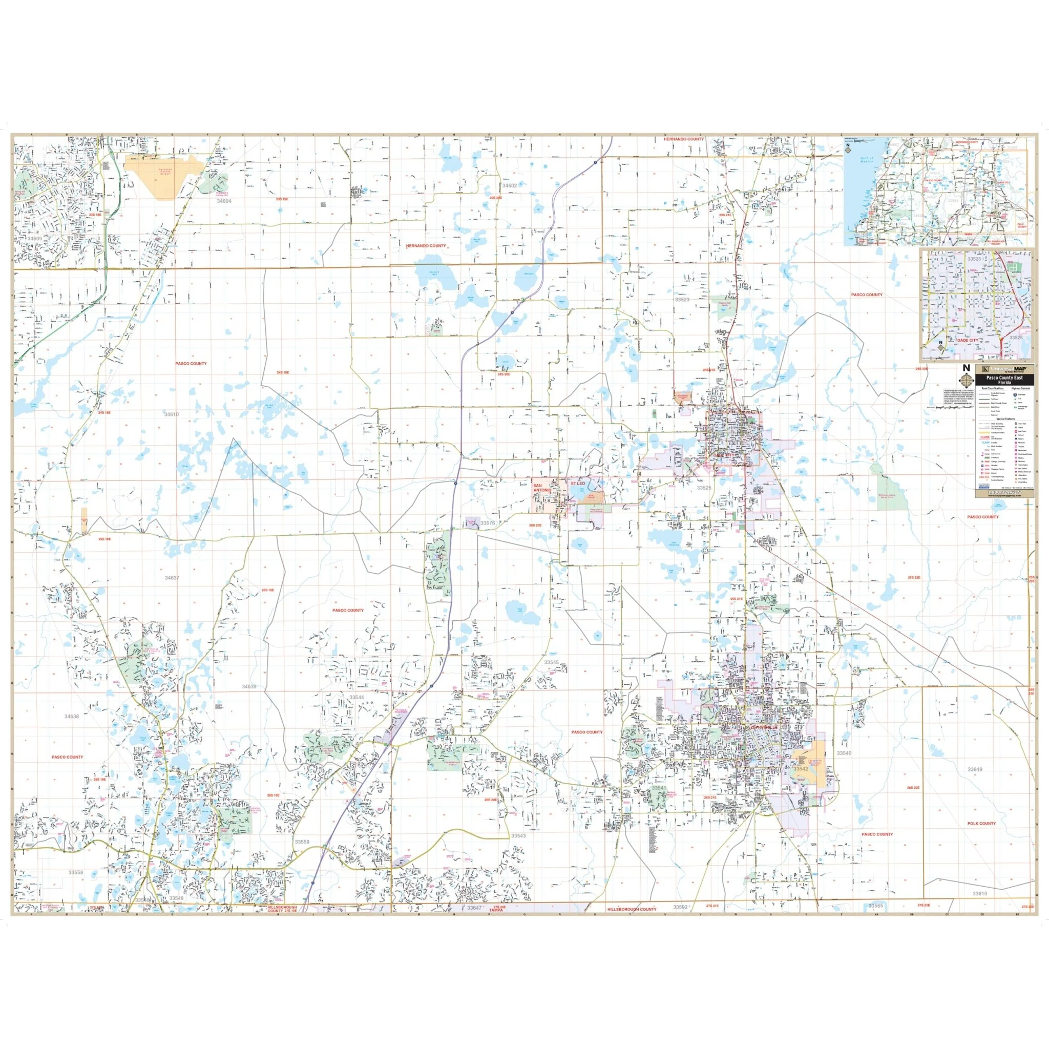
Whether you're navigating the northern and southern boundaries that stretch to the Pasco County line or exploring the eastern and western limits to US 41, this map has you covered. Additionally, it includes an area map of Pasco County for your convenience.
Discover key locations and features with ease, as this map highlights airports, cemeteries, city limits (color-coded for clarity), educational institutions, fire and police stations, golf and country clubs, government buildings, hospitals, libraries, points of interest, post offices, railroads, recreational parks, section, township, and range lines, shopping centers, streets and highways, water features, and ZIP code boundaries.
Unlock the full potential of East Pasco County, FL, with this detailed wall map. Whether you're seeking local services or planning an adventure, this map will be your reliable companion in navigating the area's rich offerings.
Size: 74" x 57"
Published: 2015
Original: $149.99
-70%$149.99
$45.00Product Information
Product Information
Shipping & Returns
Shipping & Returns
Description
Explore the charm and details of East Pasco County, FL, with this comprehensive wall map. Covering the entire region, this map offers complete street-level detail, making it an invaluable resource for both residents and visitors.
Whether you're navigating the northern and southern boundaries that stretch to the Pasco County line or exploring the eastern and western limits to US 41, this map has you covered. Additionally, it includes an area map of Pasco County for your convenience.
Discover key locations and features with ease, as this map highlights airports, cemeteries, city limits (color-coded for clarity), educational institutions, fire and police stations, golf and country clubs, government buildings, hospitals, libraries, points of interest, post offices, railroads, recreational parks, section, township, and range lines, shopping centers, streets and highways, water features, and ZIP code boundaries.
Unlock the full potential of East Pasco County, FL, with this detailed wall map. Whether you're seeking local services or planning an adventure, this map will be your reliable companion in navigating the area's rich offerings.
Size: 74" x 57"
Published: 2015