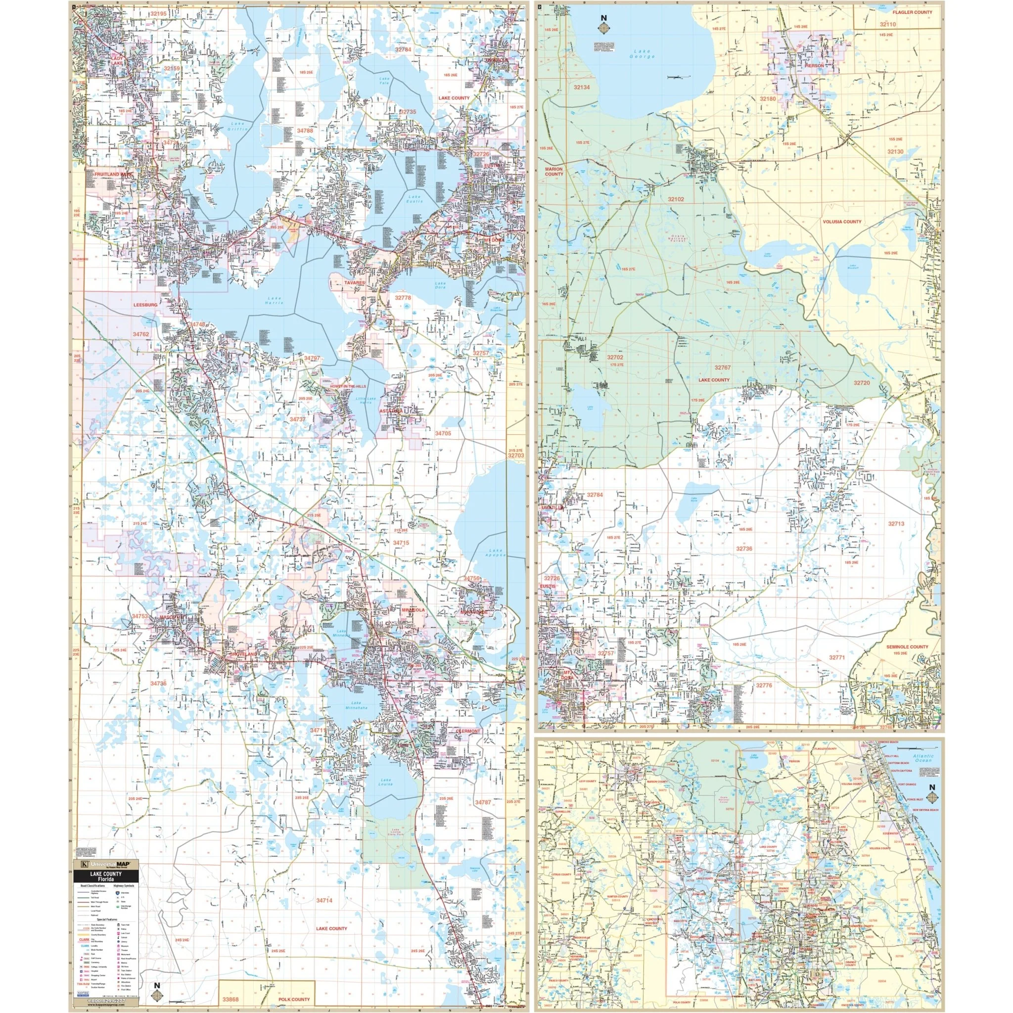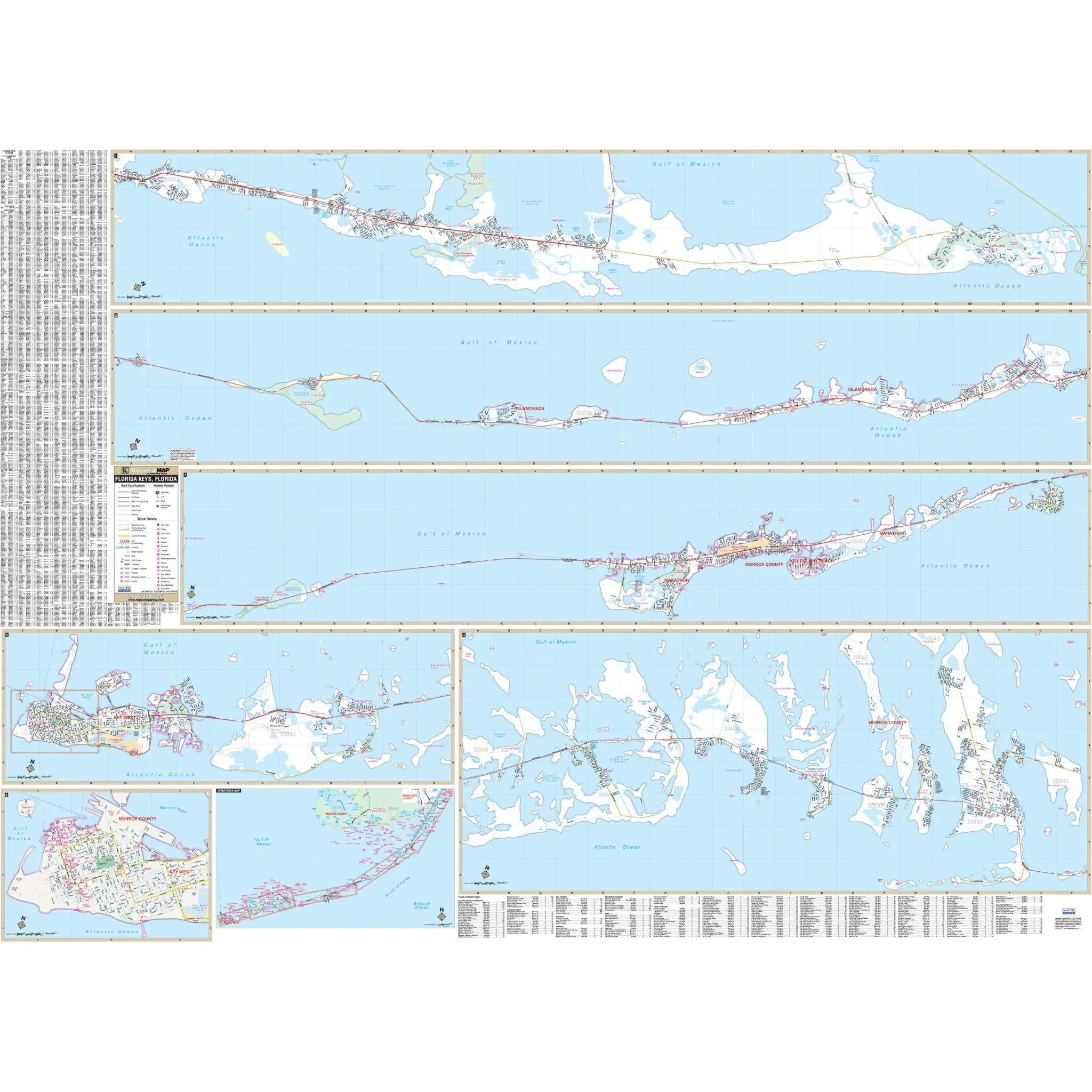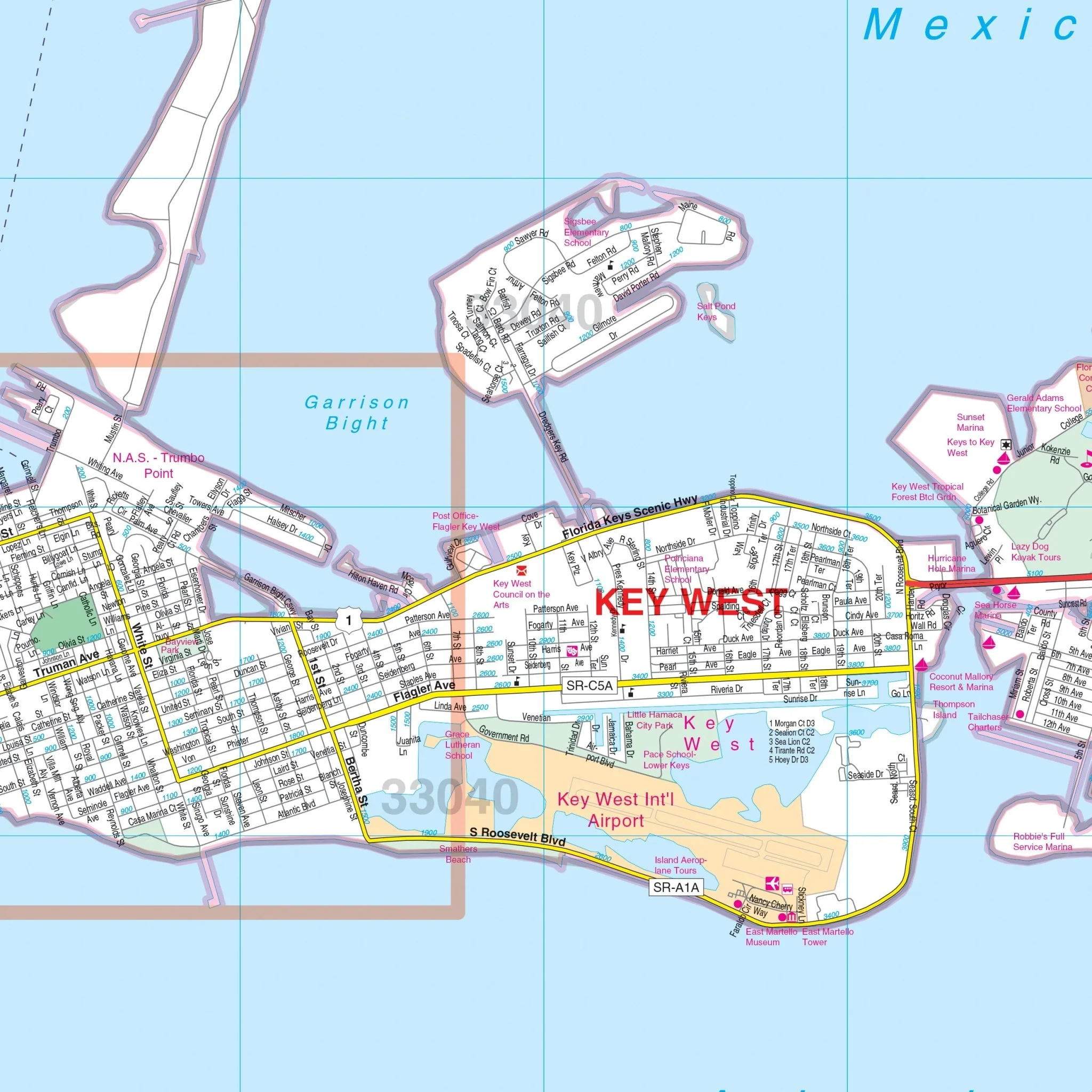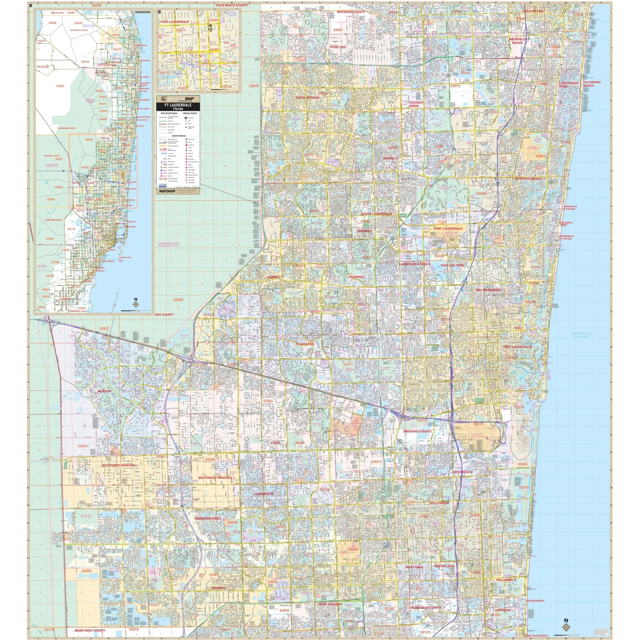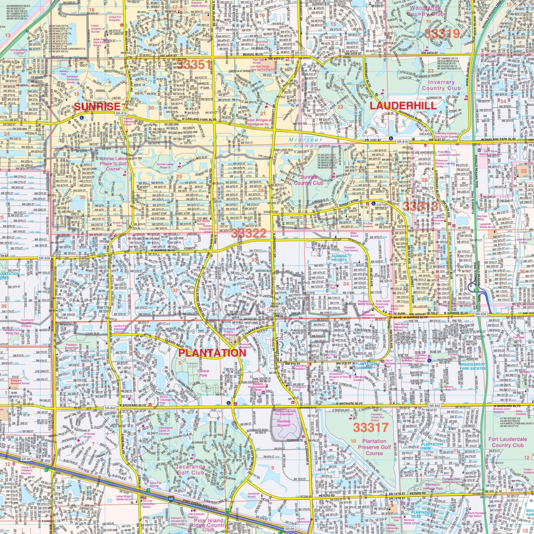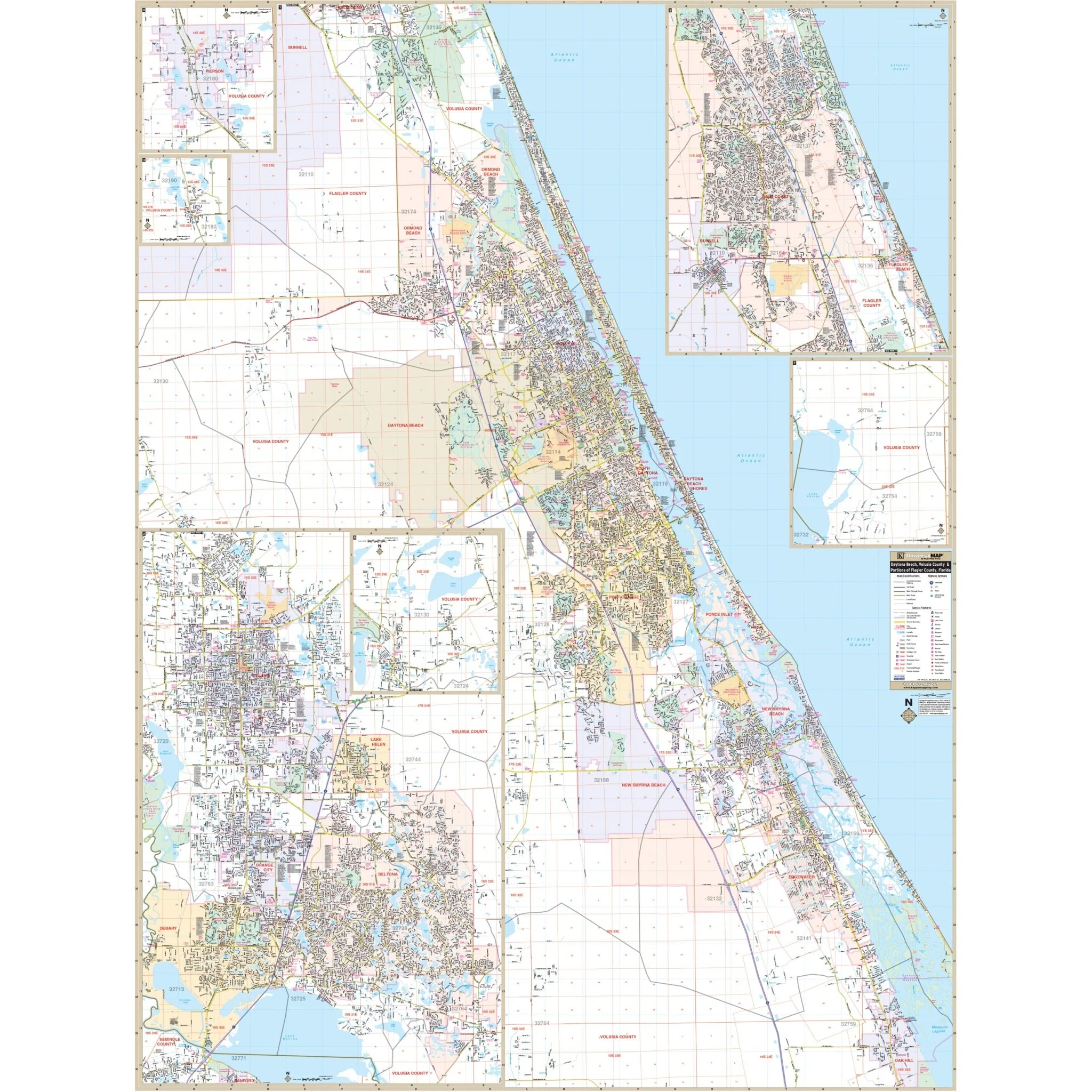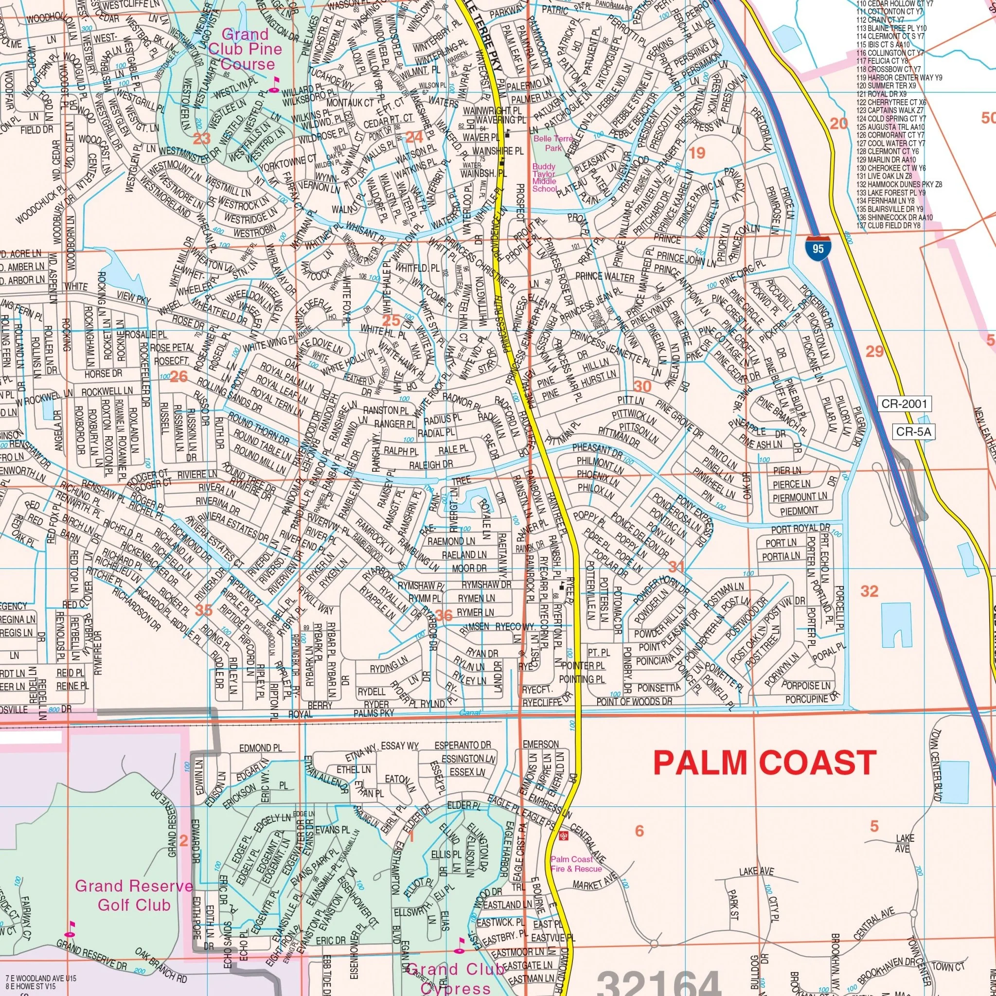
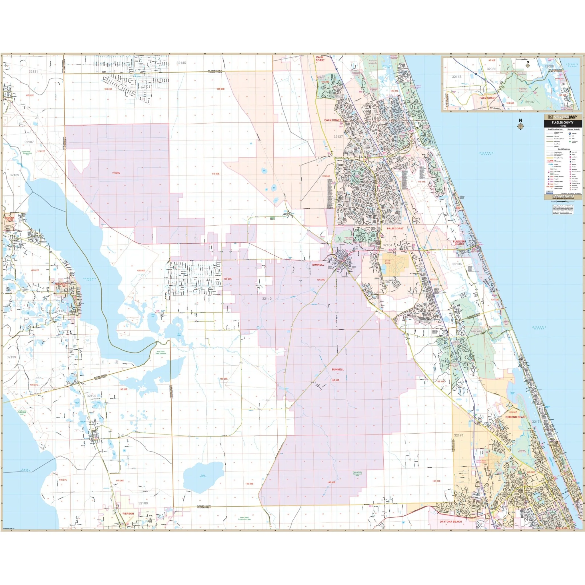


Flagler County, FL Wall Map
Explore the Flagler County, Florida Wall Map from Kappa Map Group, offering complete street-level detail for the region and its surroundings.
With meticulous cartography, this map provides an in-depth view of Flagler County, covering an expansive area:
- North: Extending to the Flagler-St. John's county lines.
- South: Encompassing the Flagler-Volusia county lines.
- East: Reaching all the way to the Atlantic Ocean.
- West: Extending to the Volusia/Flagler and Putnam/Flagler County lines.
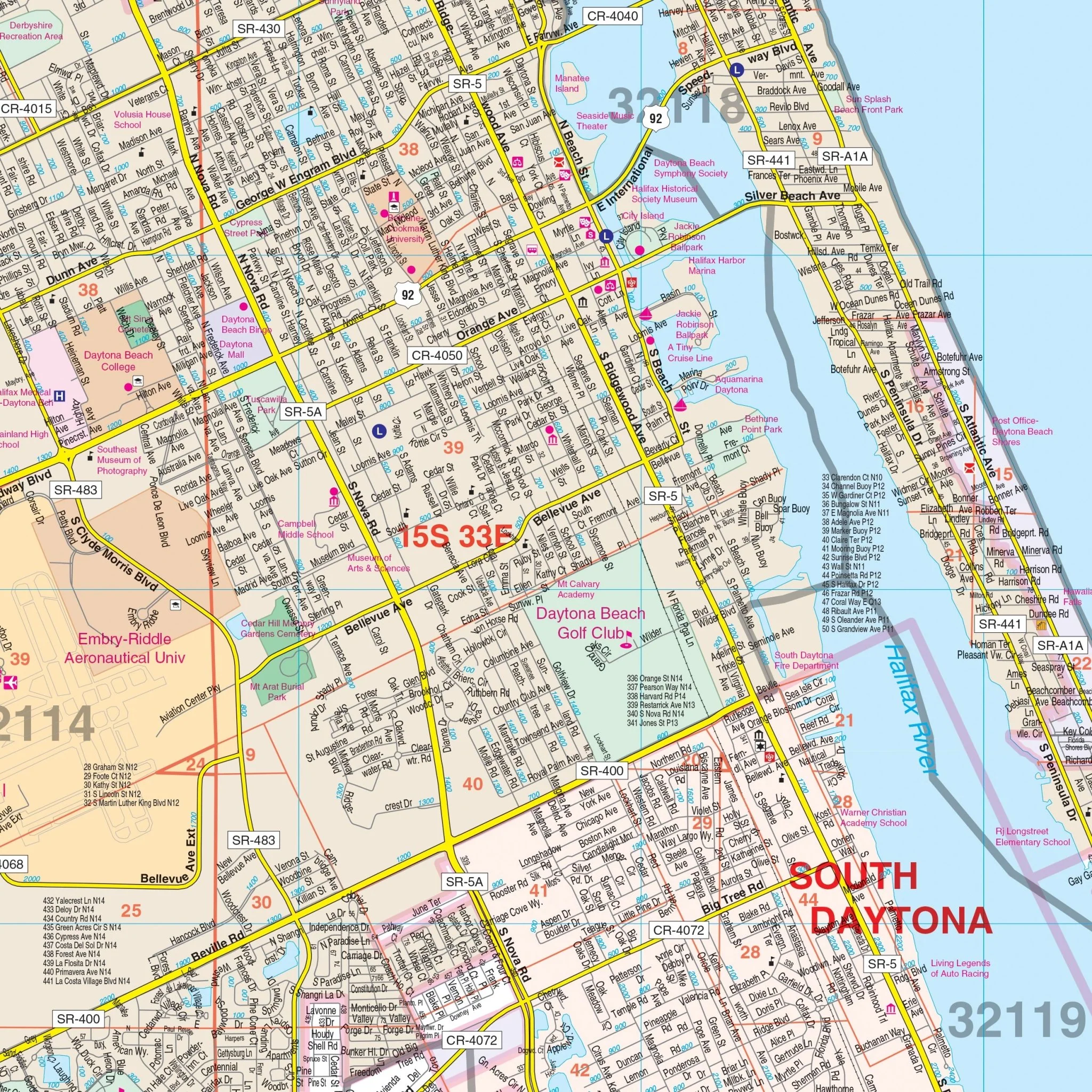
This map serves as a comprehensive resource, presenting a wide range of data and details:
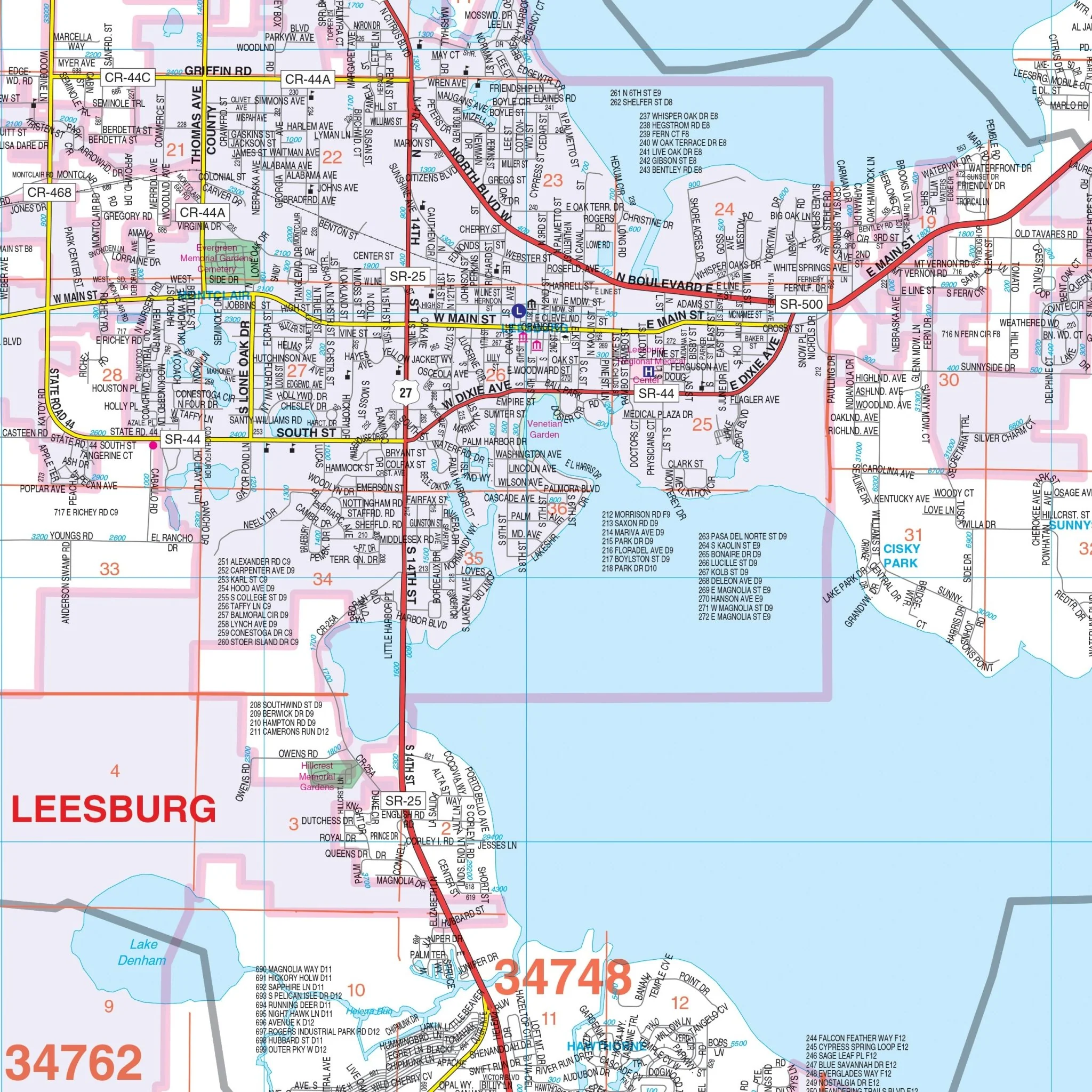
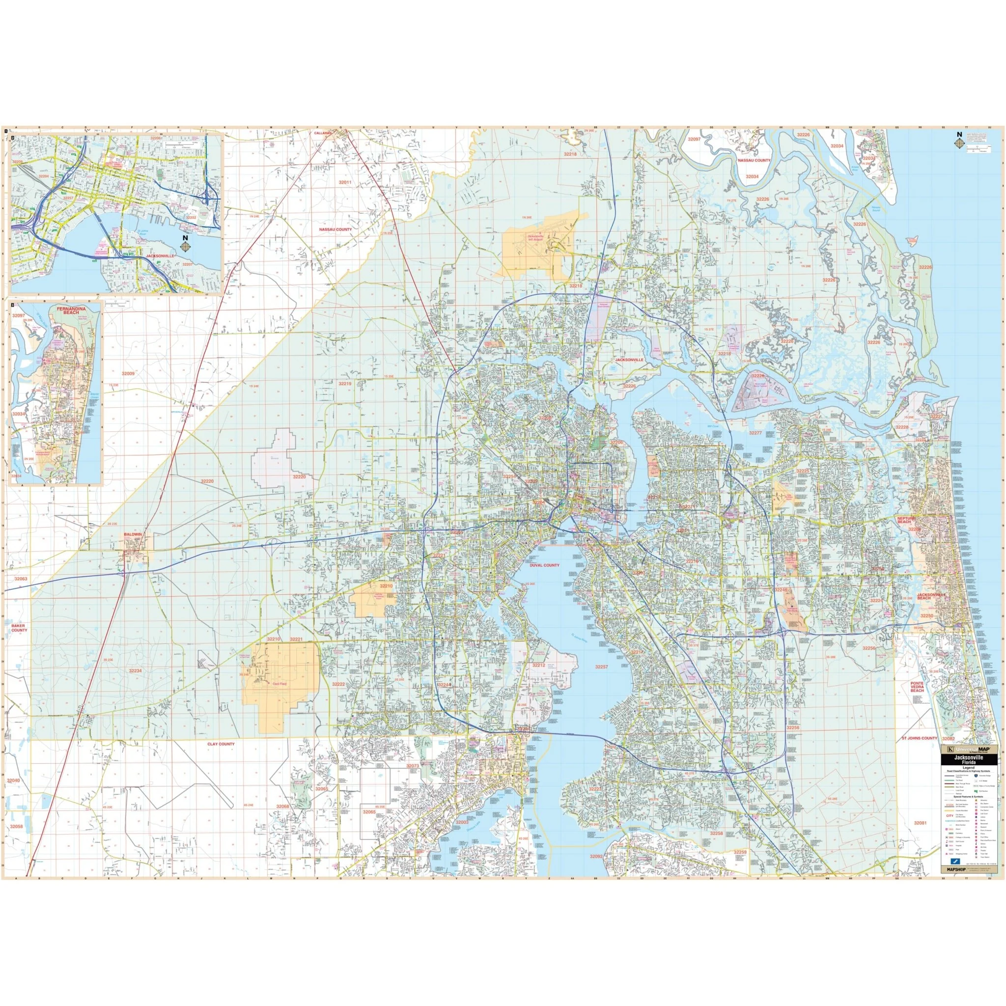
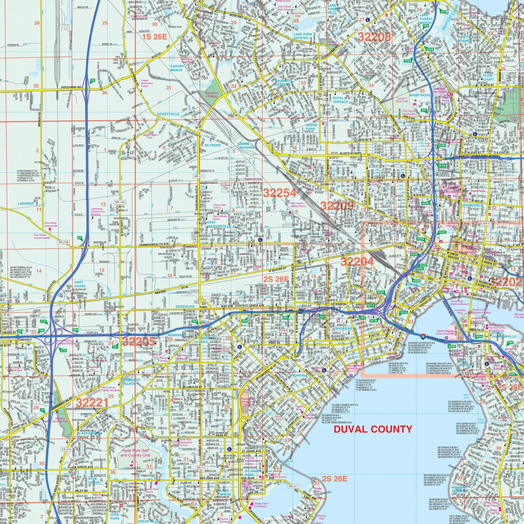
- Highlighted elements include airports, block numbers, cemeteries, color-coded city limits, educational institutions, fire and police stations, golf and country clubs, government buildings, hospitals, libraries, points of interest, post offices, railroads, recreational parks, section, township, and range lines, subdivisions, water features, and ZIP code boundaries.
Whether you're exploring Flagler County for business or leisure, this map offers valuable insights and guidance for navigating the area.
Size: 67.5" x 55.5"
Published: 2013
Original: $149.99
-70%$149.99
$45.00Product Information
Product Information
Shipping & Returns
Shipping & Returns
Description
Explore the Flagler County, Florida Wall Map from Kappa Map Group, offering complete street-level detail for the region and its surroundings.
With meticulous cartography, this map provides an in-depth view of Flagler County, covering an expansive area:
- North: Extending to the Flagler-St. John's county lines.
- South: Encompassing the Flagler-Volusia county lines.
- East: Reaching all the way to the Atlantic Ocean.
- West: Extending to the Volusia/Flagler and Putnam/Flagler County lines.
This map serves as a comprehensive resource, presenting a wide range of data and details:
- Highlighted elements include airports, block numbers, cemeteries, color-coded city limits, educational institutions, fire and police stations, golf and country clubs, government buildings, hospitals, libraries, points of interest, post offices, railroads, recreational parks, section, township, and range lines, subdivisions, water features, and ZIP code boundaries.
Whether you're exploring Flagler County for business or leisure, this map offers valuable insights and guidance for navigating the area.
Size: 67.5" x 55.5"
Published: 2013